


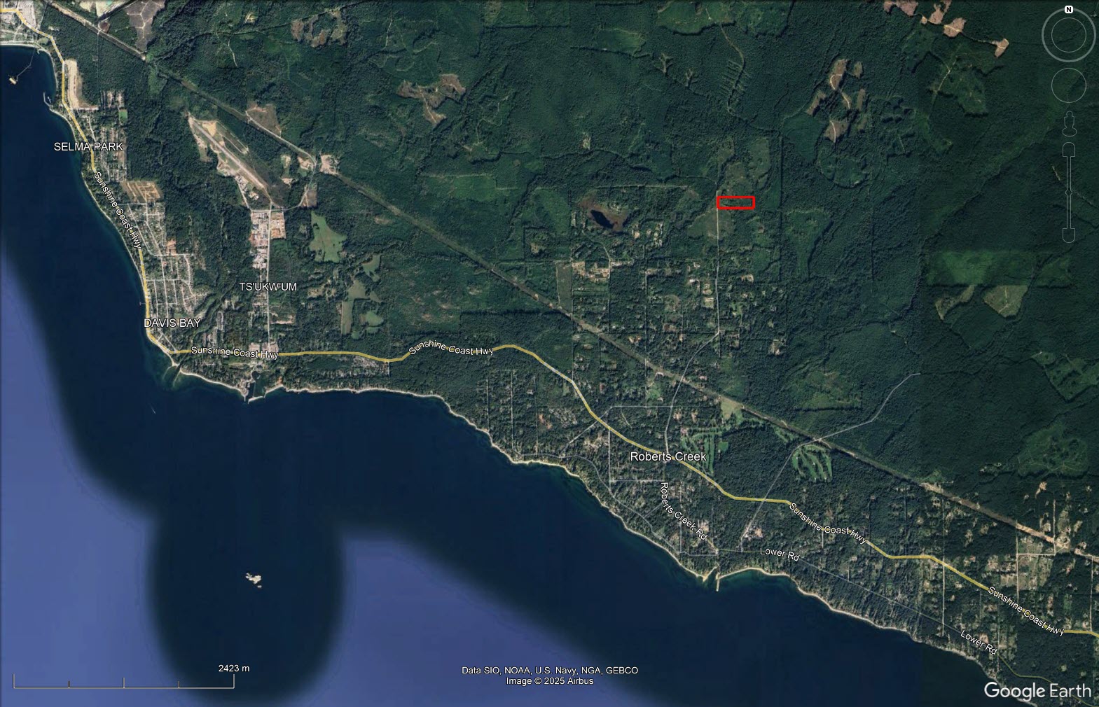
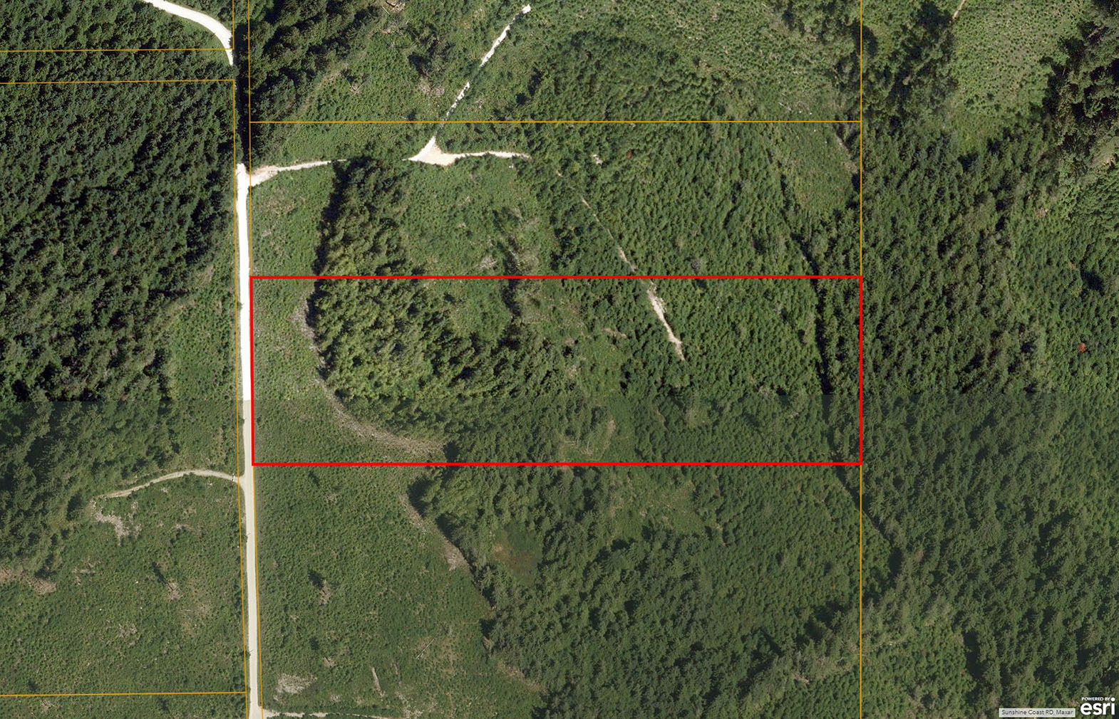
11.8 acres in Roberts Creek. Zoning permits 2 dwellings plus suites. Ideally located 3 km up Lockyer Rd. Off Highway 101. Rural country lifestyle yet close proximity to all major amenities in Sechelt. Power to property line, West facing, excellent sun exposure.
Foreign Buyer Ban does not apply to this property


 +12 photos
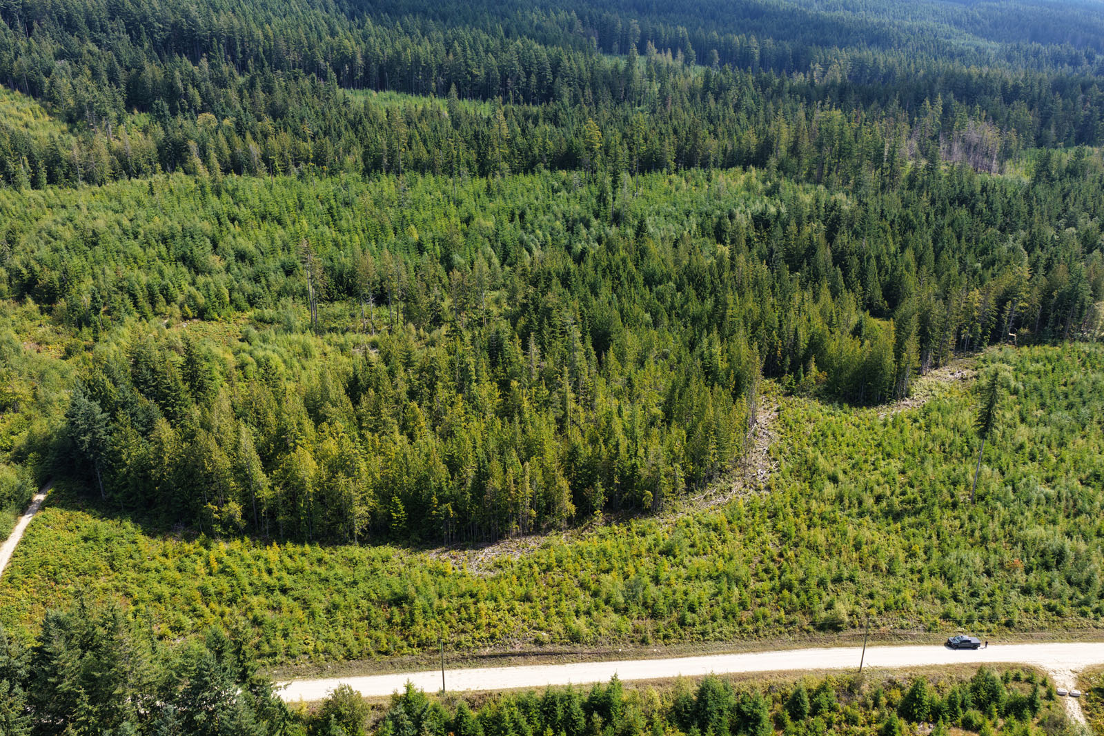
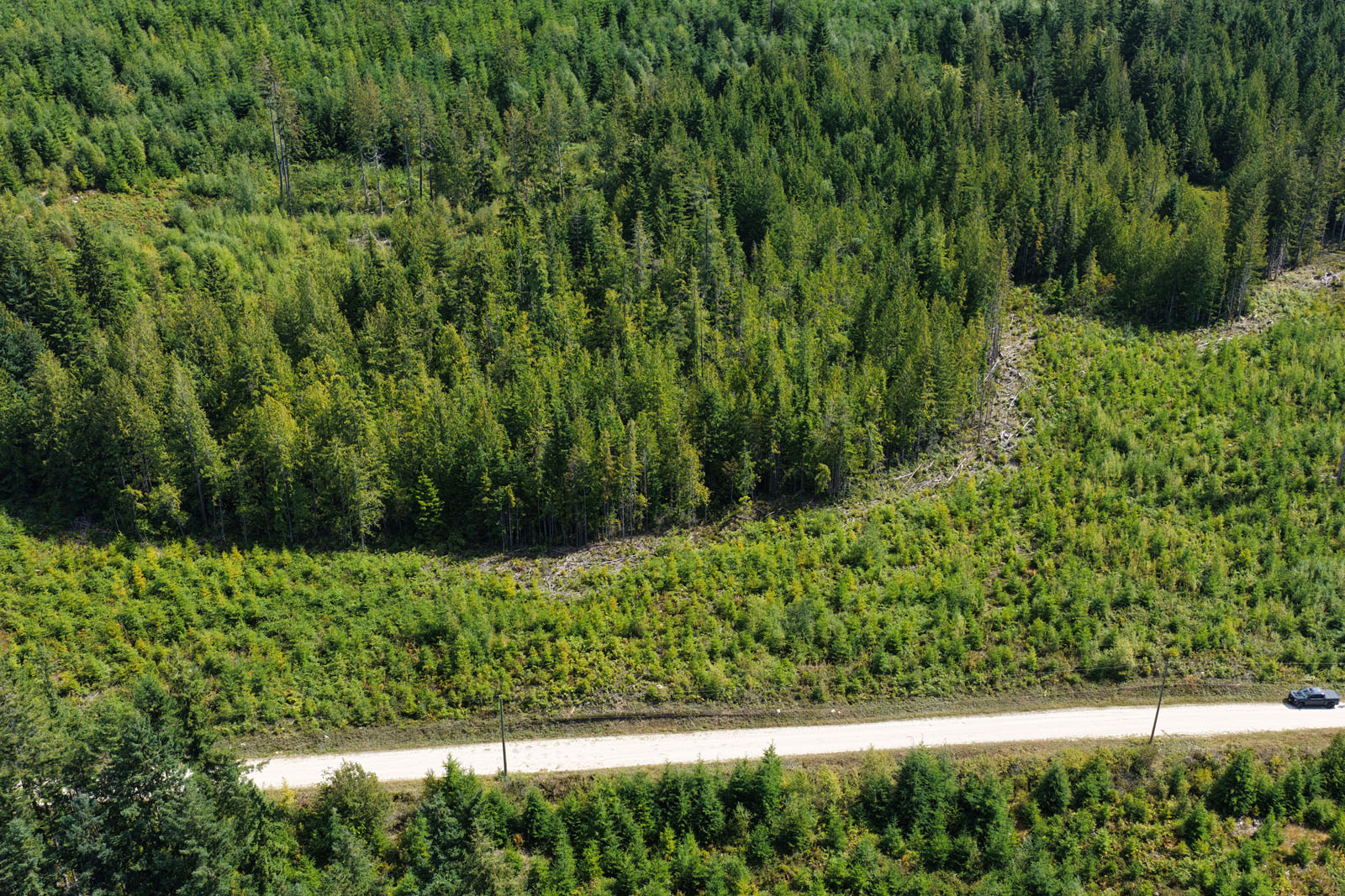

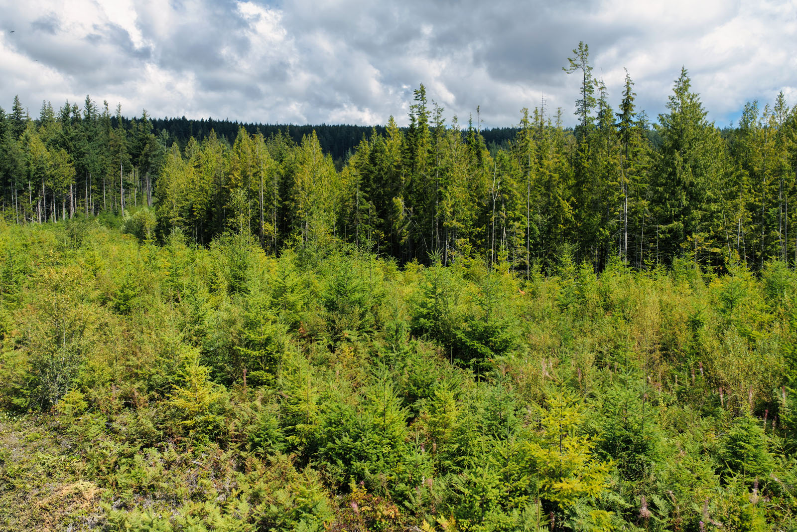
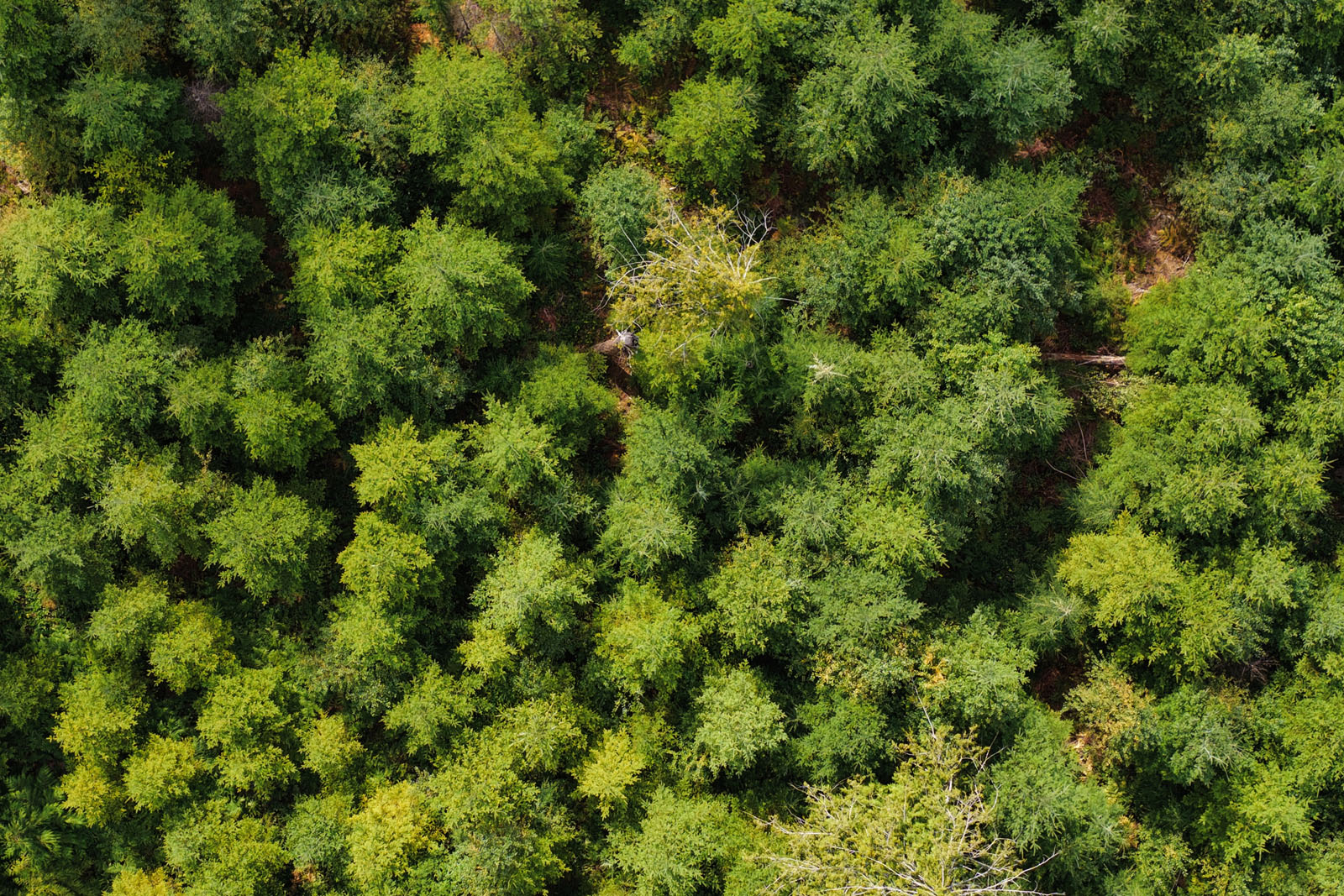
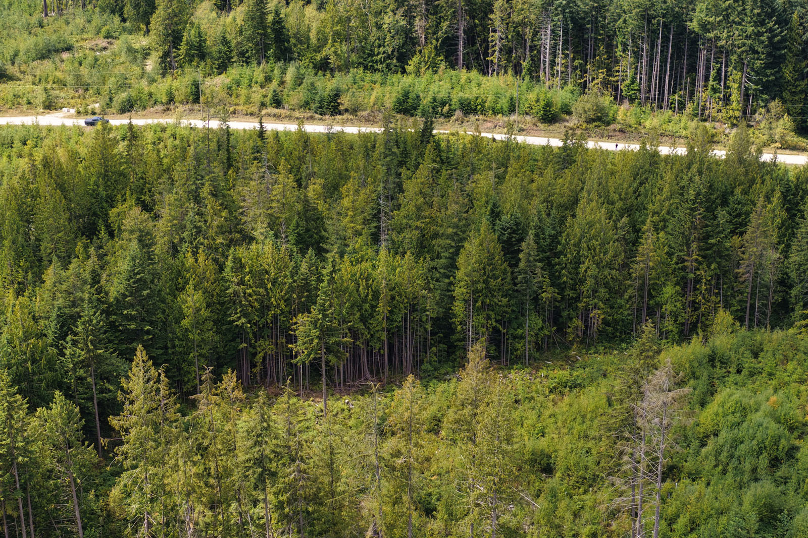
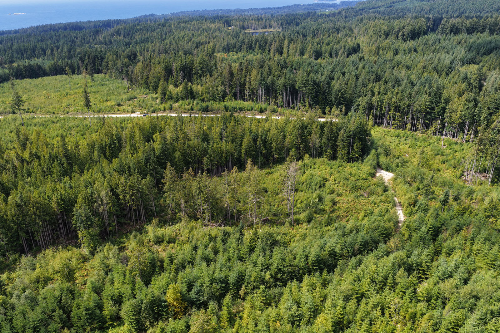
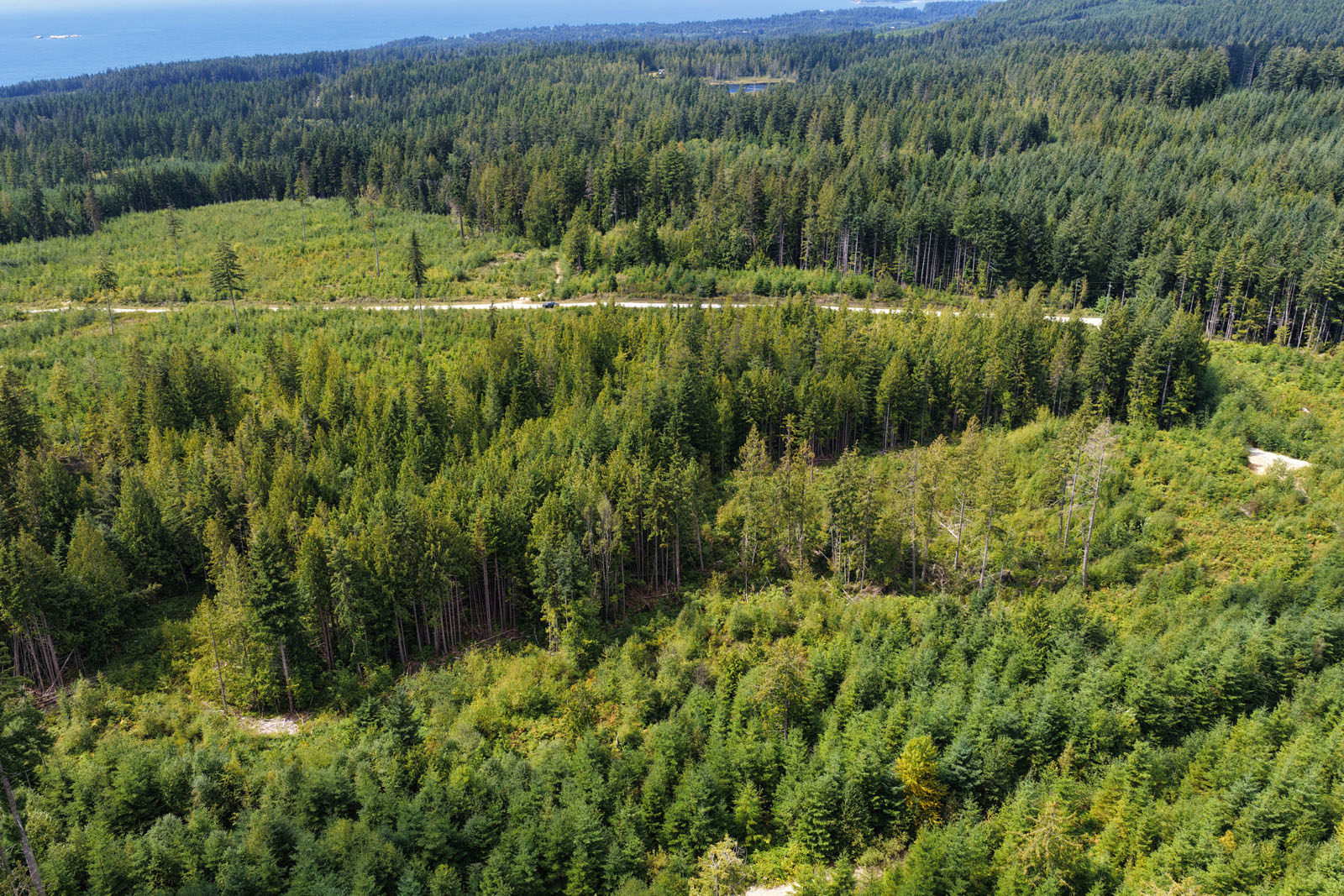
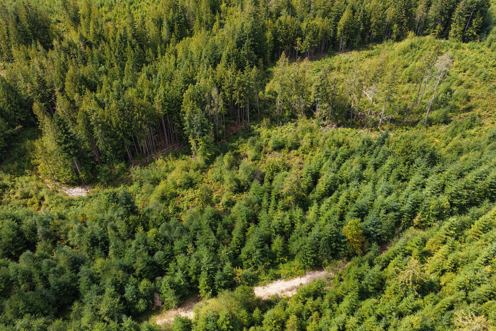
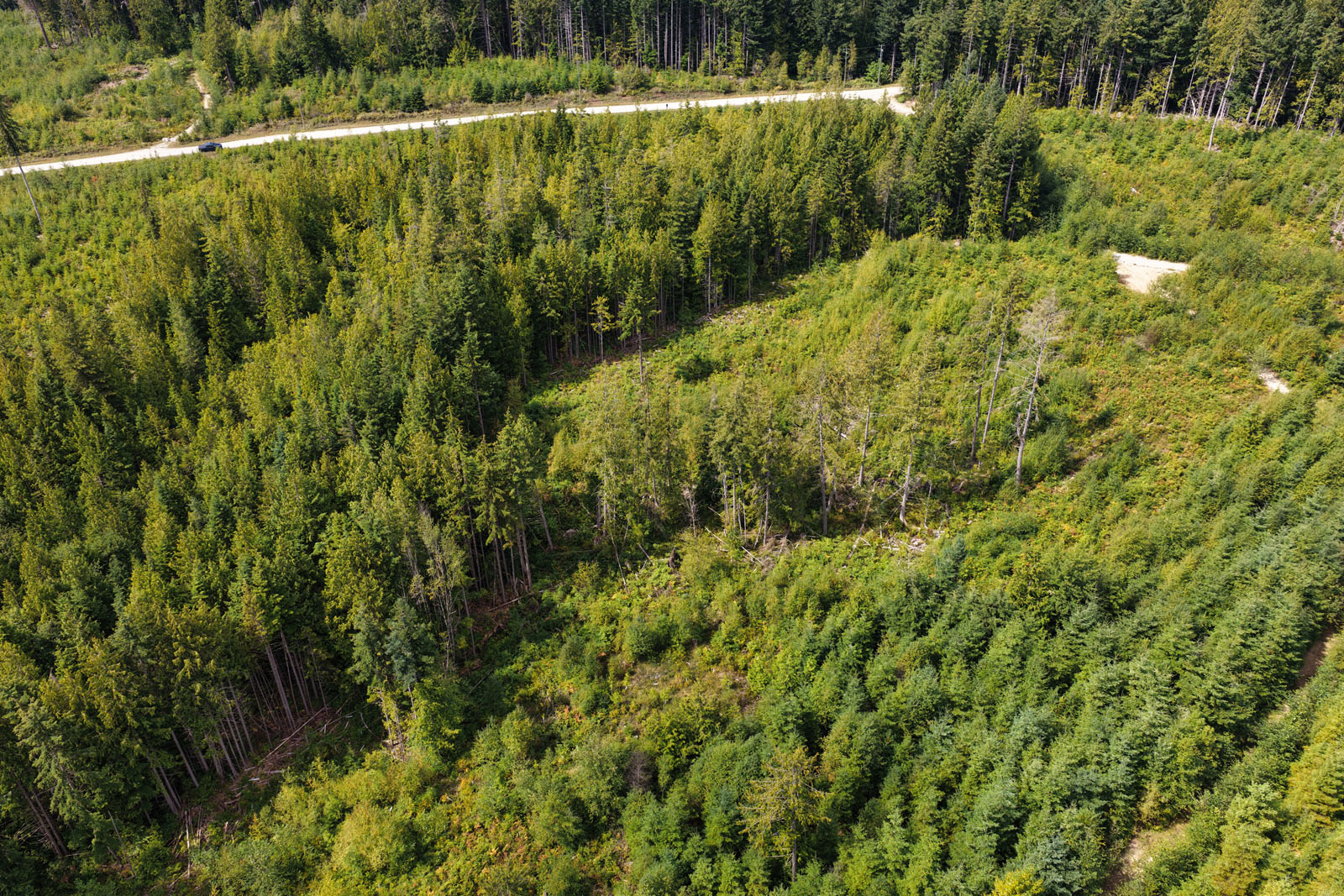
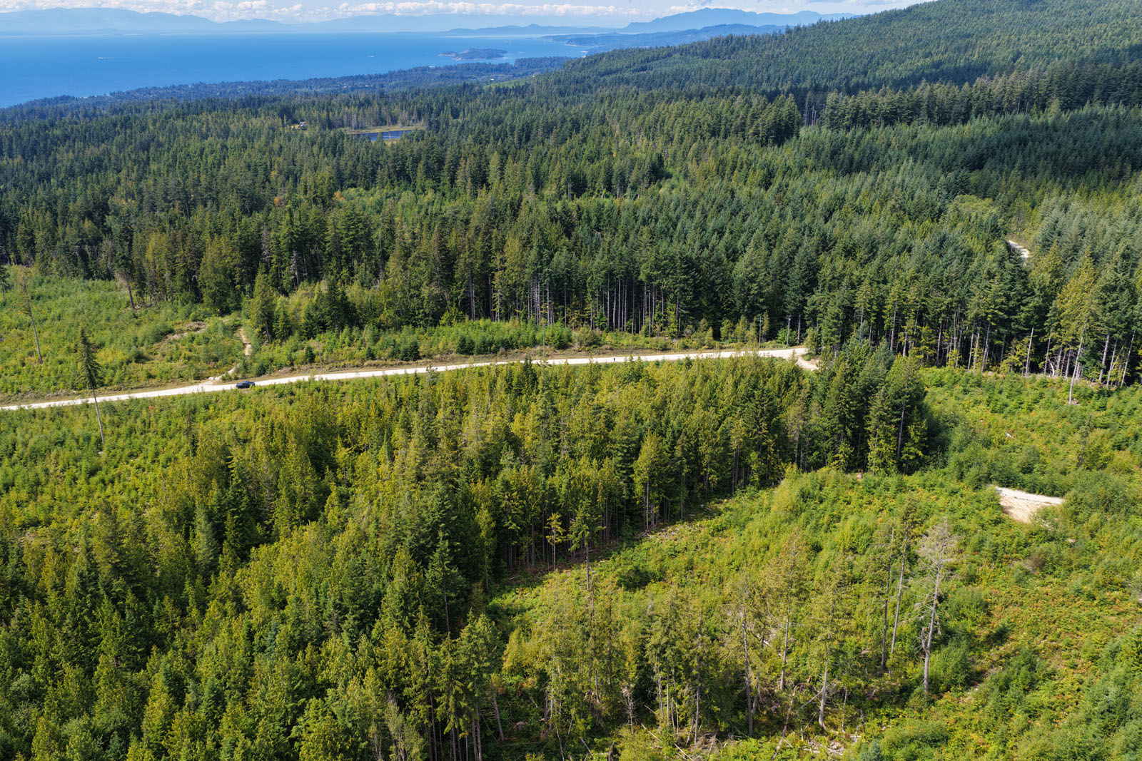
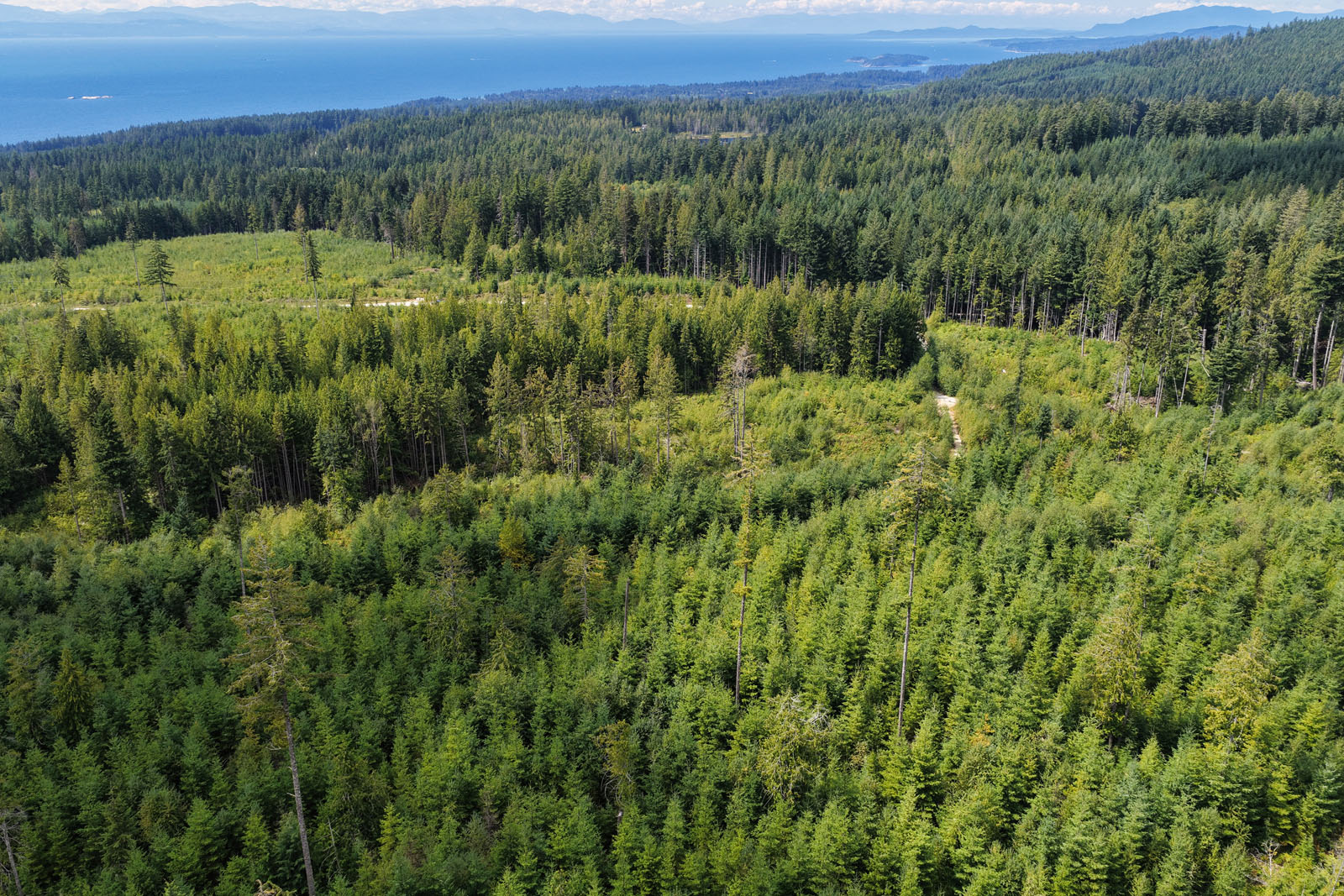
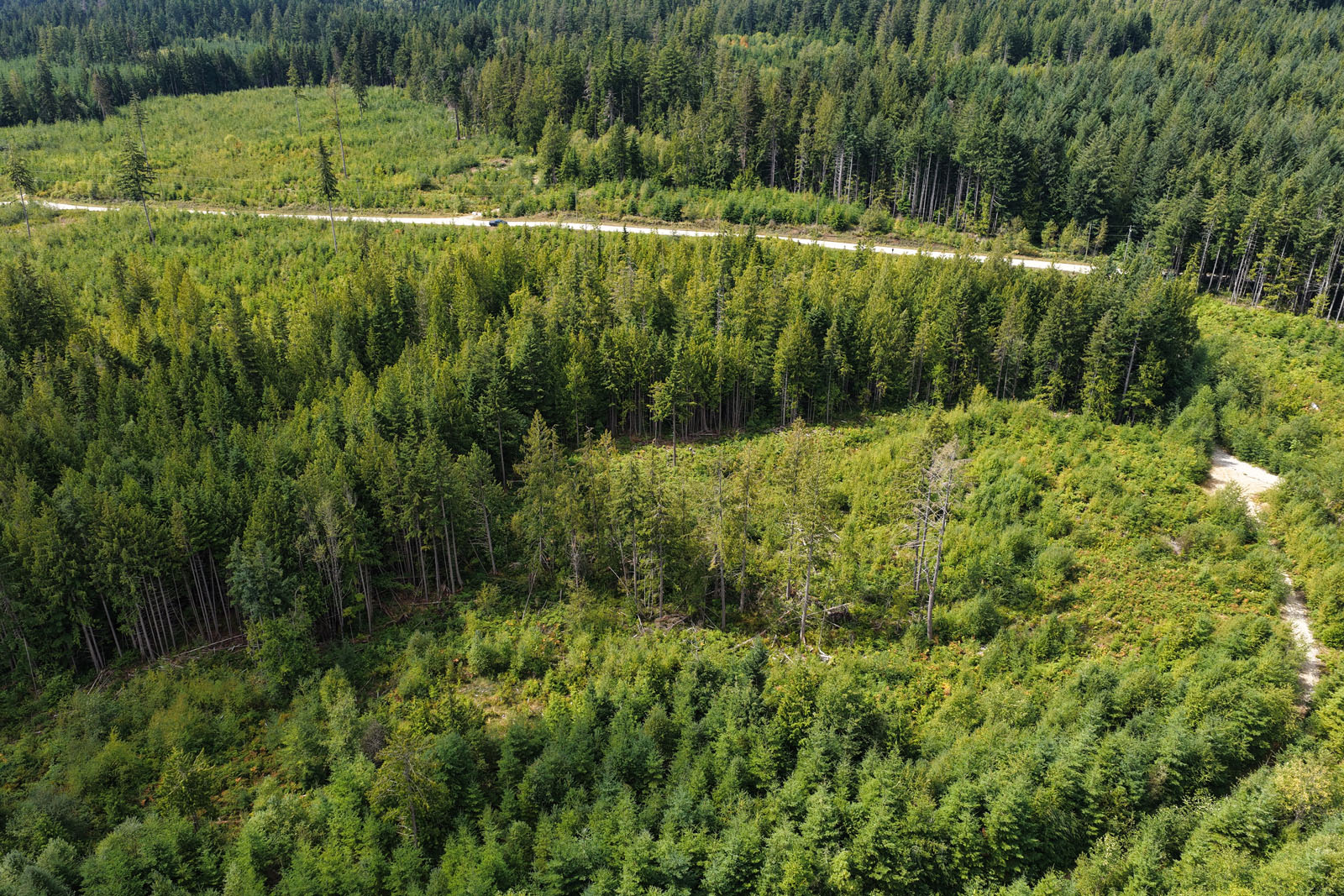
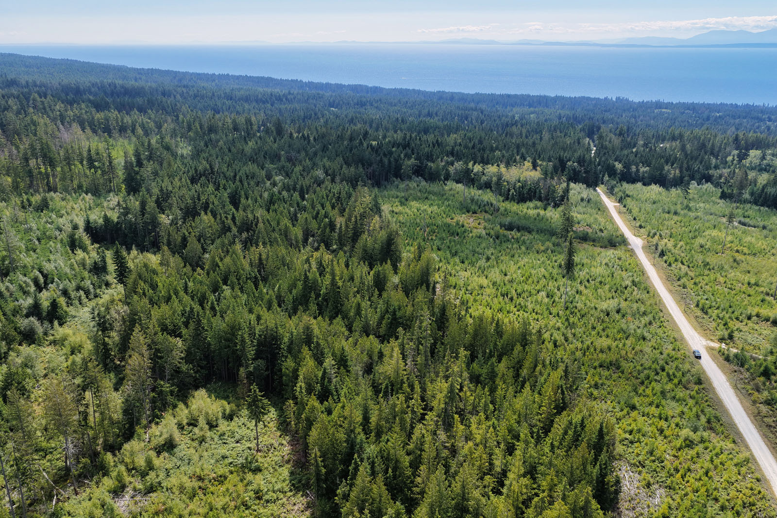
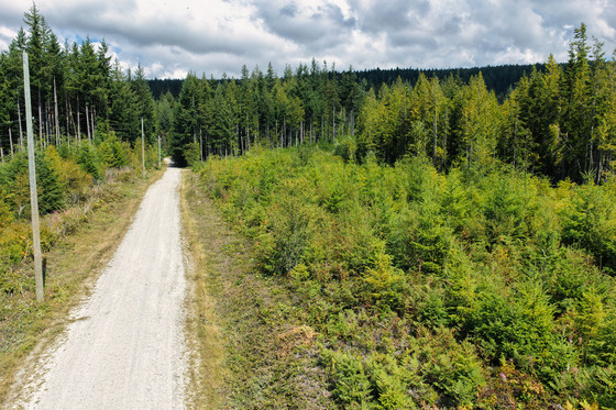
Welcome to a remarkable 11.8-acre distant ocean view parcel on Lockyer Road in the heart of Roberts Creek. This RU1-zoned property offers a rare blend of privacy, utility, and development flexibility. Whether you're looking to establish a rural retreat, a horse training and boarding facility, or explore light manufacturing or storage uses, this parcel accommodates it all—including two single-family dwellings plus suites. Set adjacent to similar sized and large acreages, the property is close to Crown land and extensive trail networks, it's ideal for equestrian enthusiasts and outdoor adventurers alike. With riparian zones and wetlands adding ecological character and value, this scenic acreage is a unique investment opportunity just minutes from amenities and a short commute to Vancouver and the Lower Mainland.
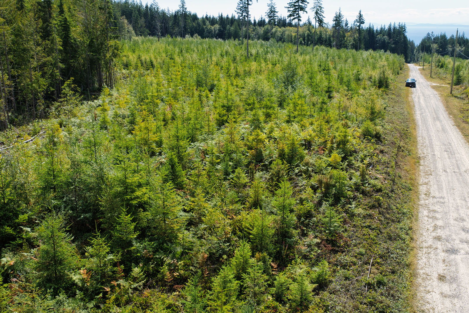
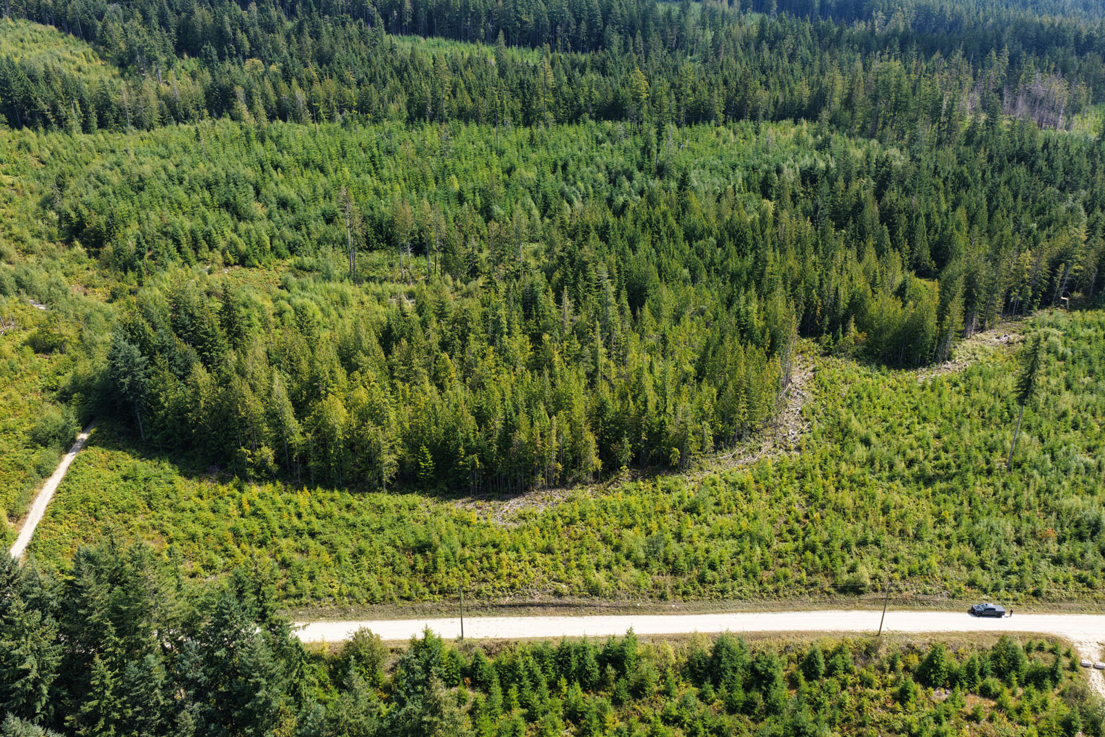
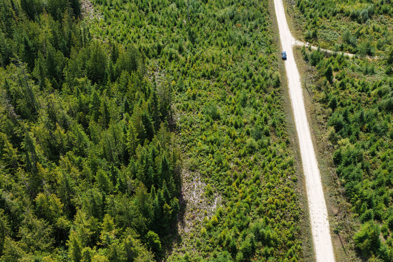
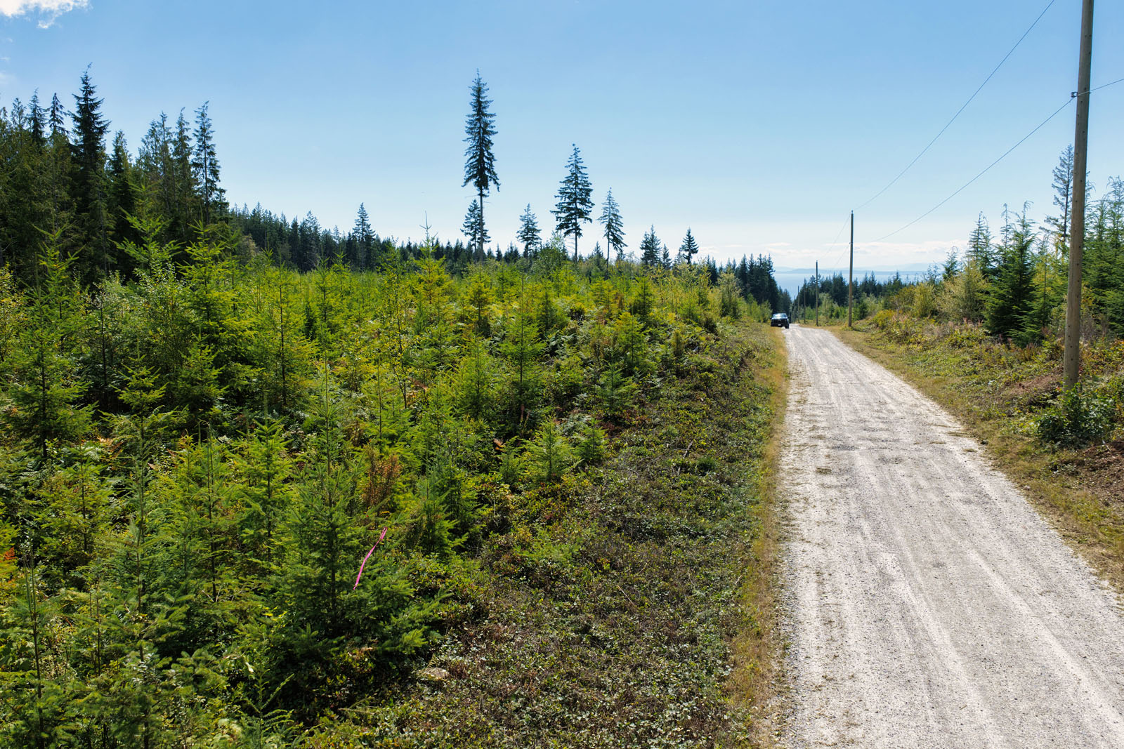
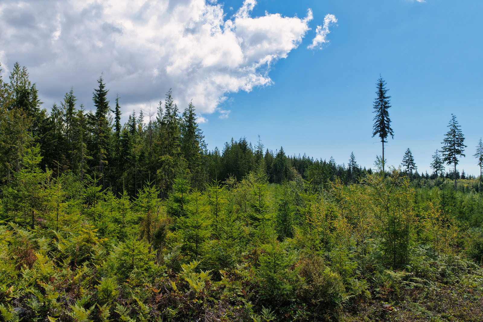
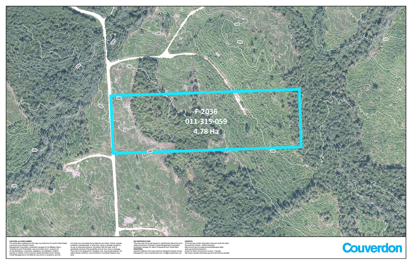
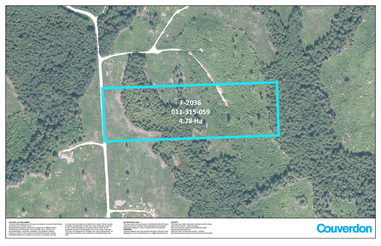
The land has a gentle topography and has ample space to be developed into your intended use. The aspect is west facing and has excellent sun exposure.
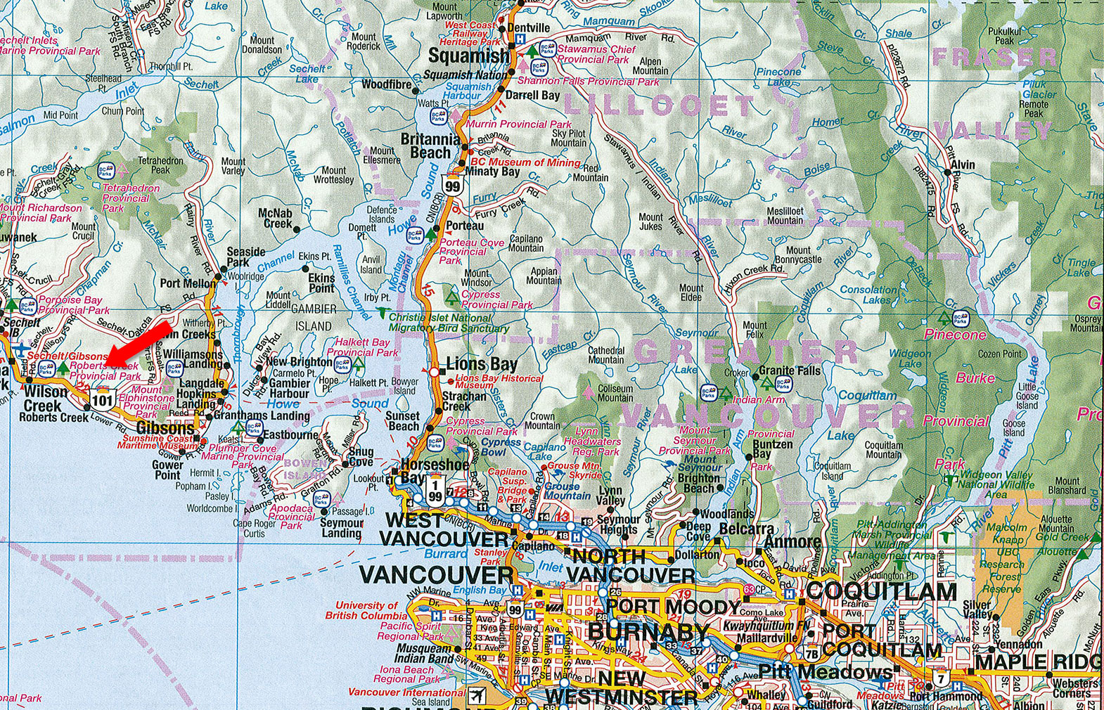
Additionally, the property has power to the property line. Access is approximately 3 km up Lockyer Road off Highway 101.
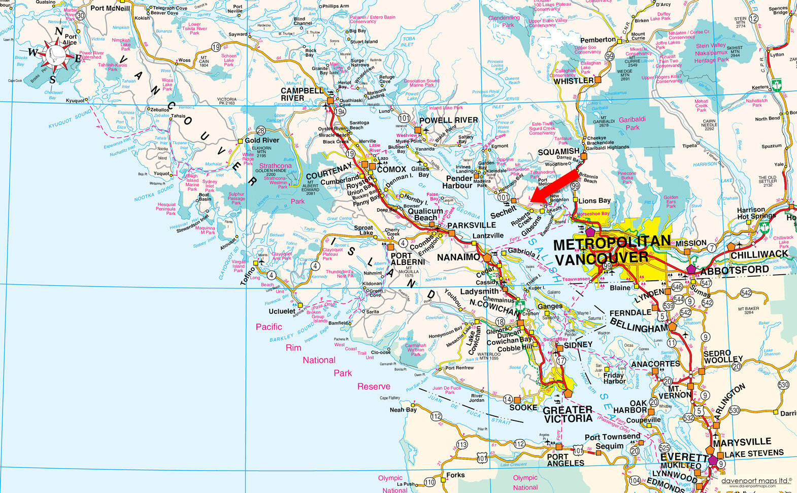
Roberts Creek, BC
Contact the listing agent.
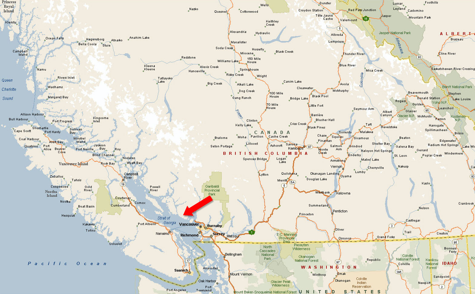
Roberts Creek (xwesam/Stelḵáya) is a small residential community of about 3,553 people located between Gibsons and Sechelt on the southern Sunshine Coast in British Columbia. It is a short drive from both Gibsons and Sechelt, making it a quick trip for anyone visiting the Sunshine Coast or a convenient day trip from Vancouver.
It is known for its 9 km of shoreline, much of which includes sandy swimming beaches, and the Roberts Creek Mandala which is re-painted each year by 300 residents and visitors. The Roberts Creek community is centered around small shops and restaurants which provide a distinct village ambiance. The Roberts Creek Community Hall, a popular venue for dances, meetings and other events, was built in 1934 and is owned, operated and maintained by the community.
The area includes a paved bike path that runs parallel to the highway; a golf course, Cliff Gilker Park, a family-oriented hiking area.
Roberts Creek is also the location for several important regional amenities including Dakota Ridge, a winter recreation area offering 12 km of groomed snowshoe and cross-country ski trails, the “Sechelt” landfill, the Sunshine Coast Regional District’s water intake and the Seaview Cemetery.
Hiking, mountain biking, cycling, paddling, boating, fishing, rock climbing, swimming, scuba diving, golfing and snowshoeing.
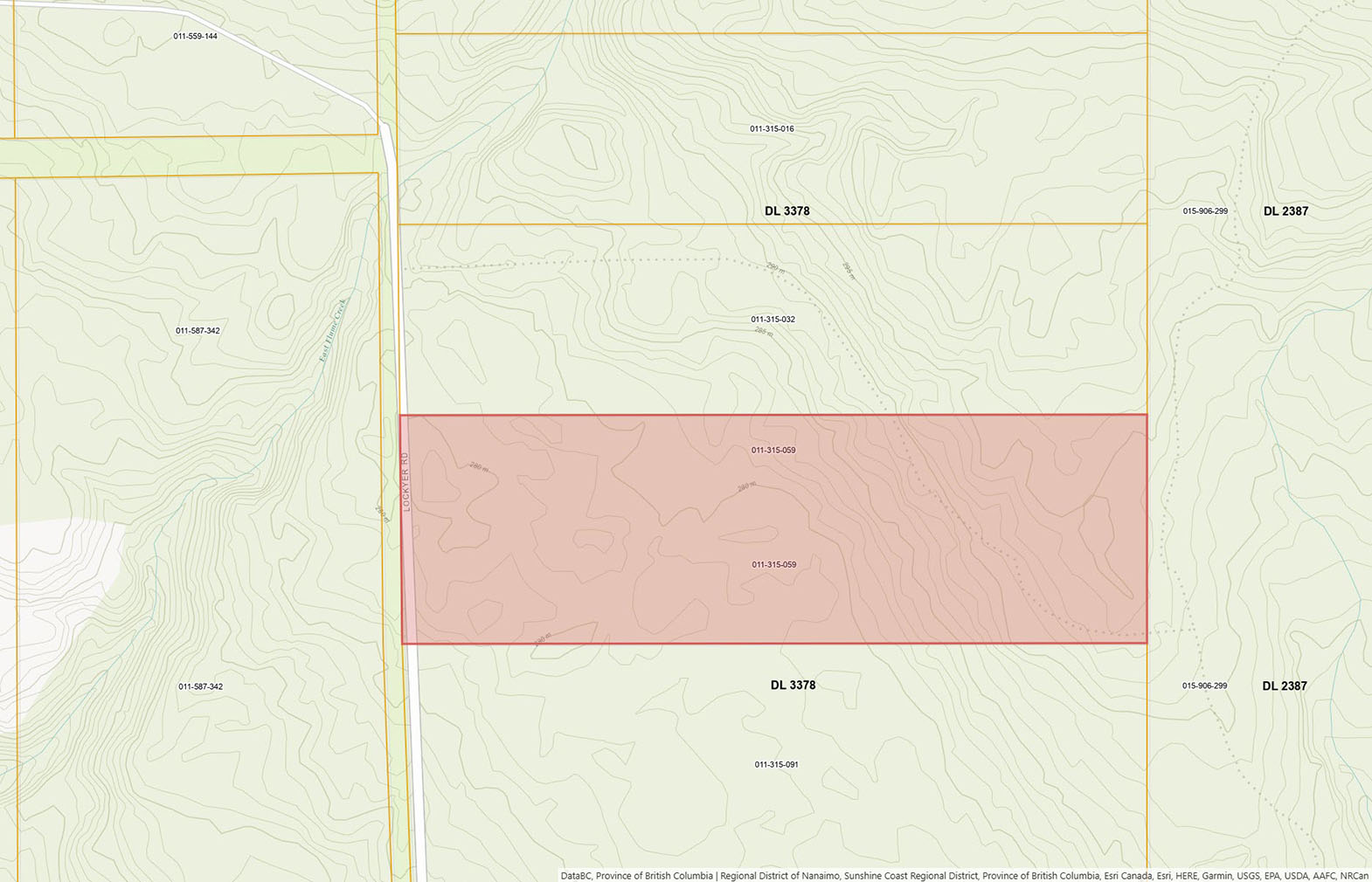
Please see mapping section, all boundaries are approximate.
49°27'19.08"N and 123°38'21.25"W
Power to property line.
None.
$166.06 (2025) - Managed Forests)
RU1 (Rural Residential One)
Sunshine Coast Regional District Zoning Bylaw No. 722
Additional zoning information can be found on the Sunshine Coast Regional District website.
Lot 4 Block B District Lot 3378 Plan 4792
PID 011-315-059
 +8 maps
Our property descriptions and geographical information are taken from the BC Assessment Authority, Land Titles Office, government maps and other sources. While LandQuest® does not guarantee the information, we believe it to be accurate, but should not be relied upon without verification. This communication is not intended to cause or induce breach of an existing agency agreement.
Roberts Creek
 9℃
9℃
 7℃
7℃