


267-acre lakefront retreat 14 minutes from Rock Creek. 5-bedroom home with stunning 10-acre private lake, parklike grounds. Strong income: cabin, suite at lockup, 70-acre hayfields. Room for yurts, cabins, campground. Rare chance for revenue in a recreational paradise.
 +73 photos
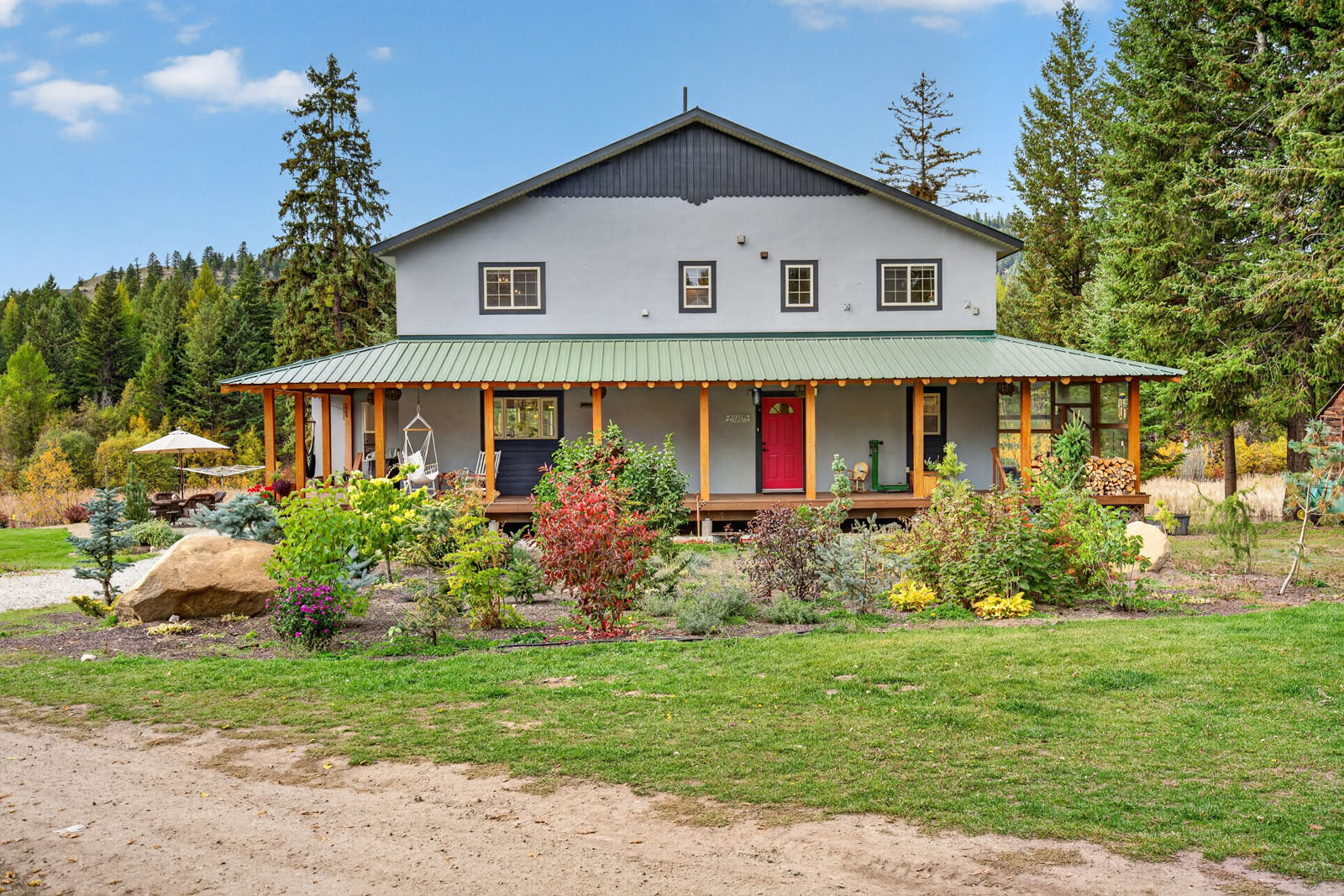
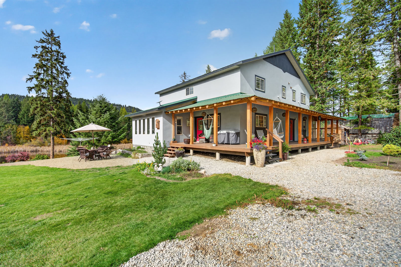
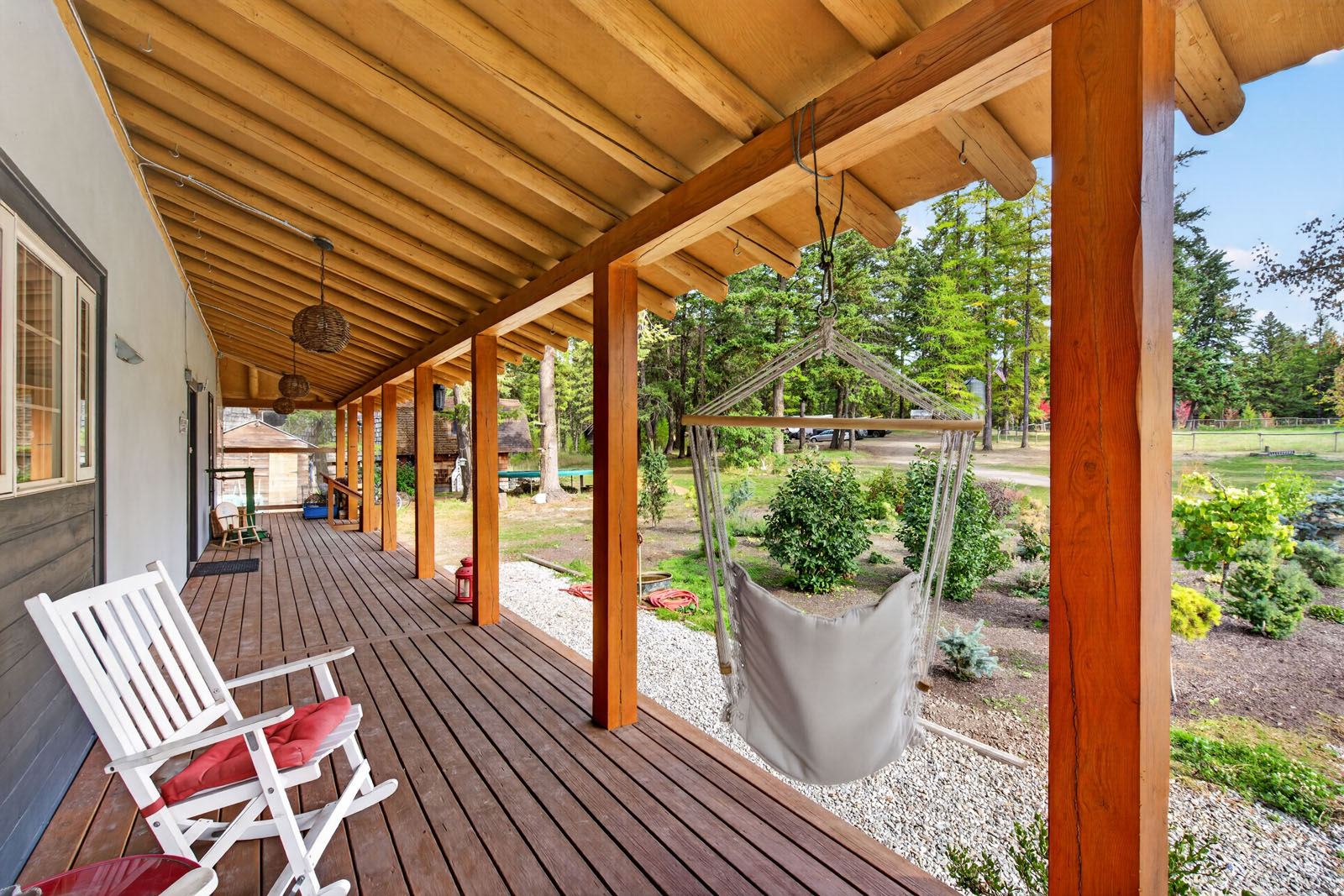
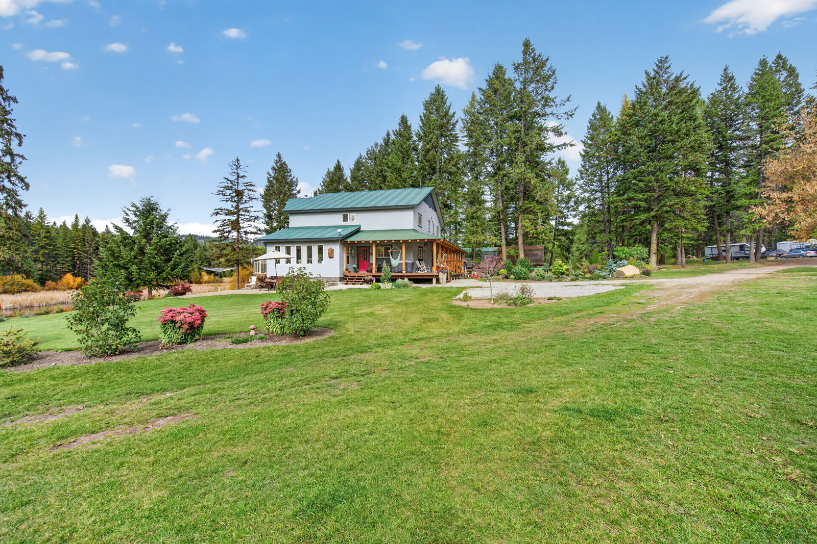
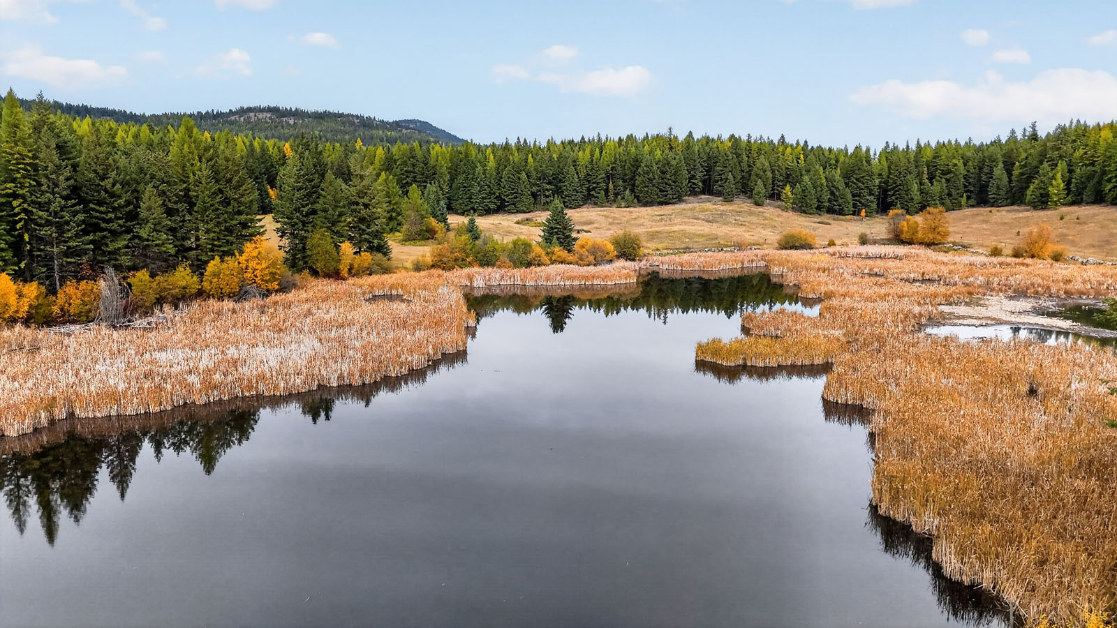
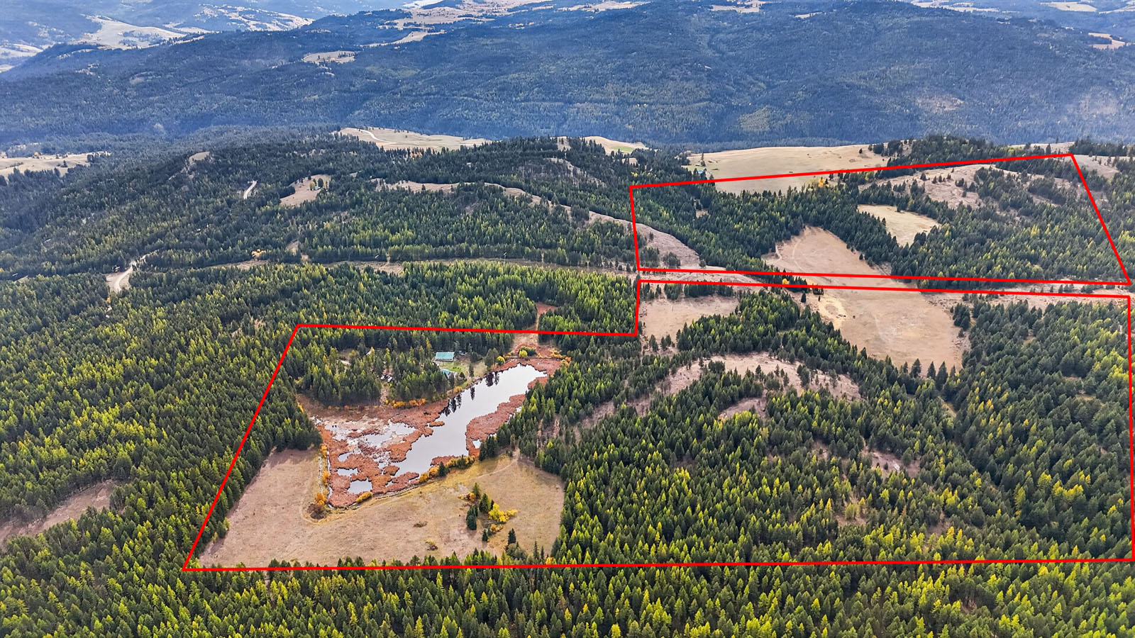
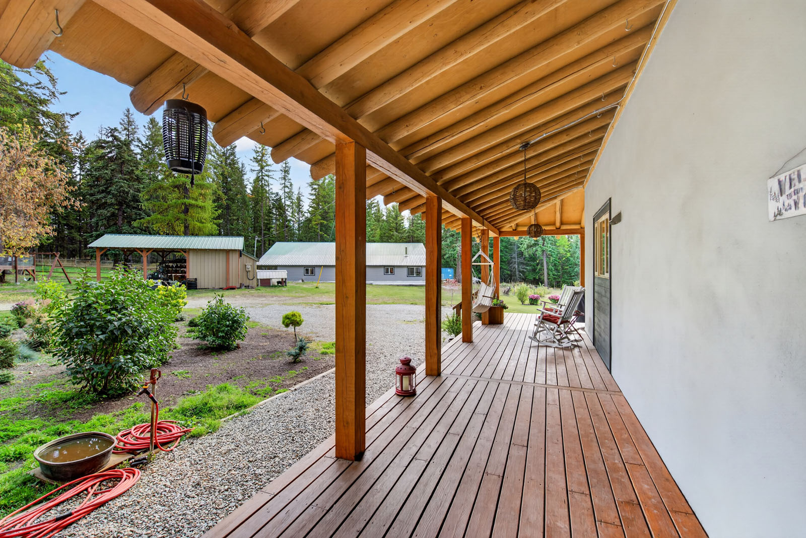
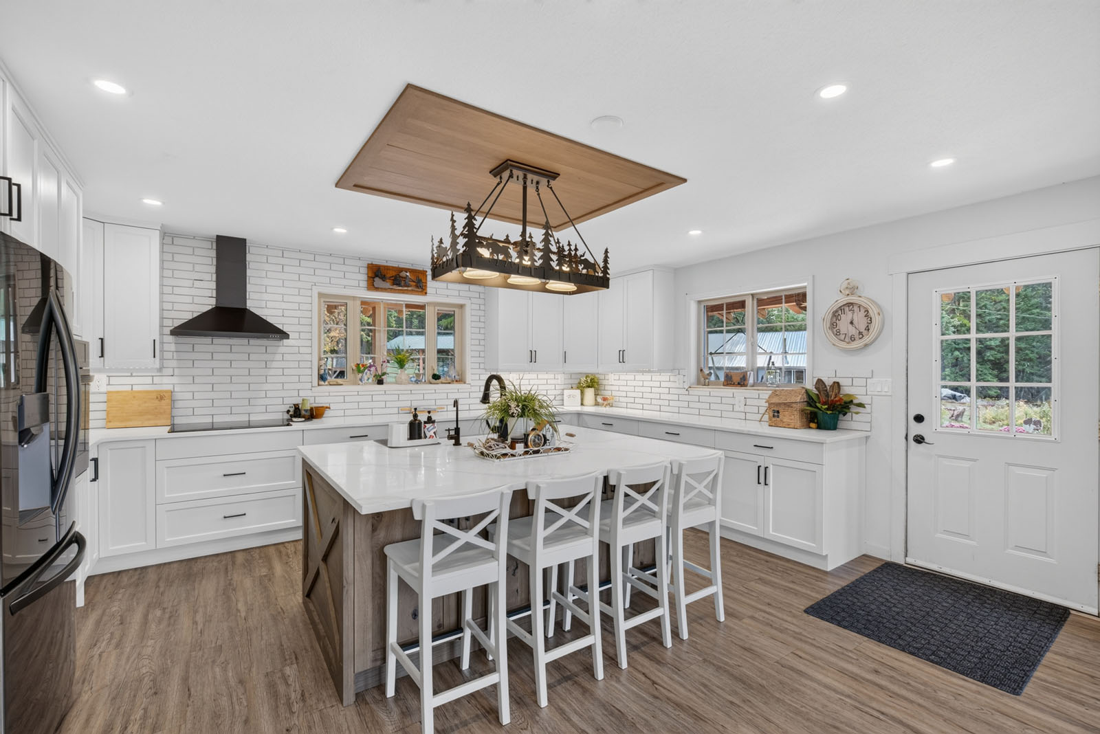
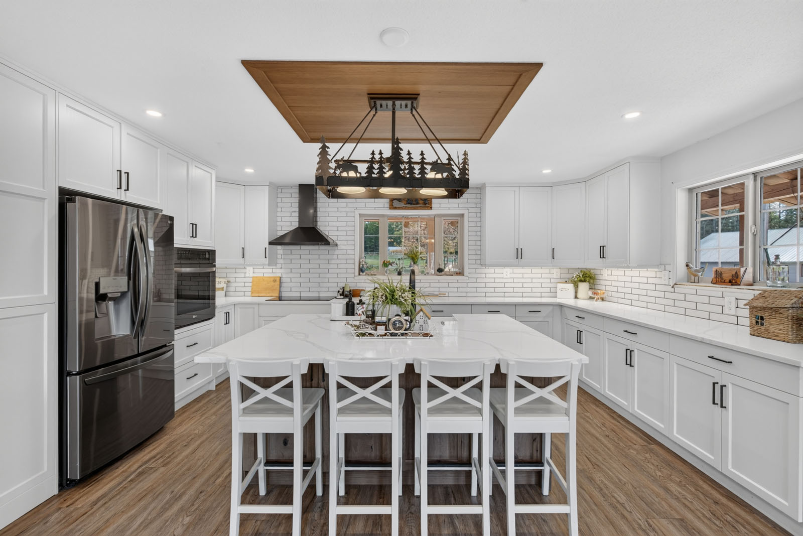
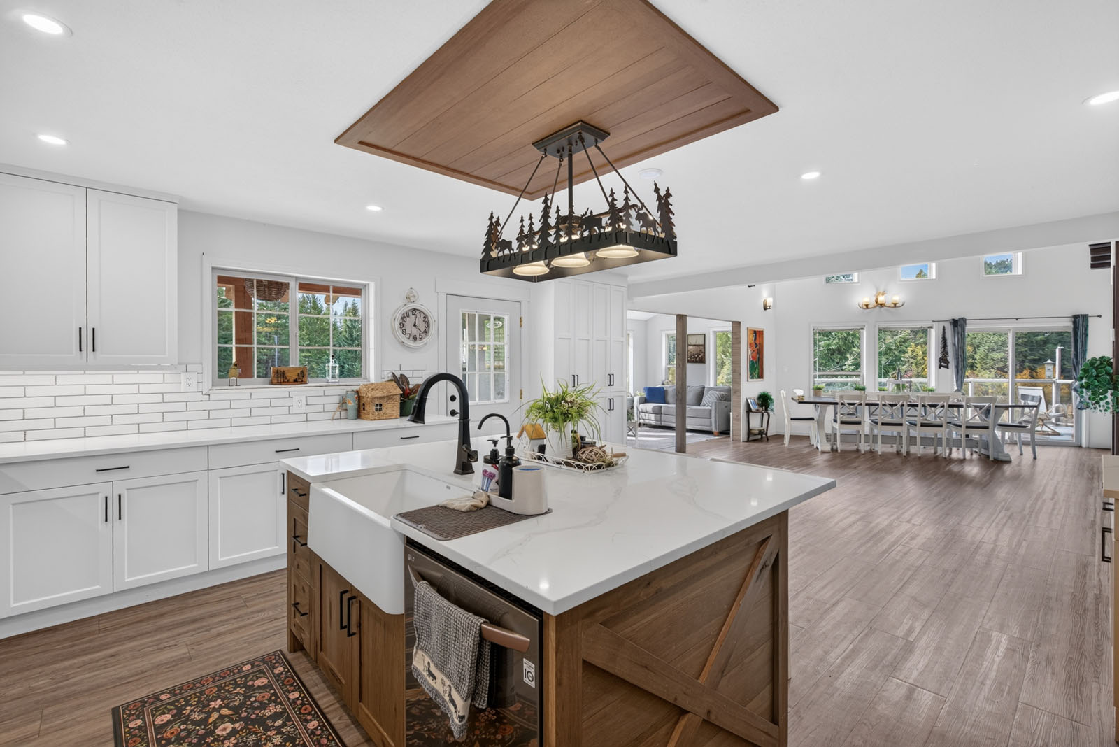
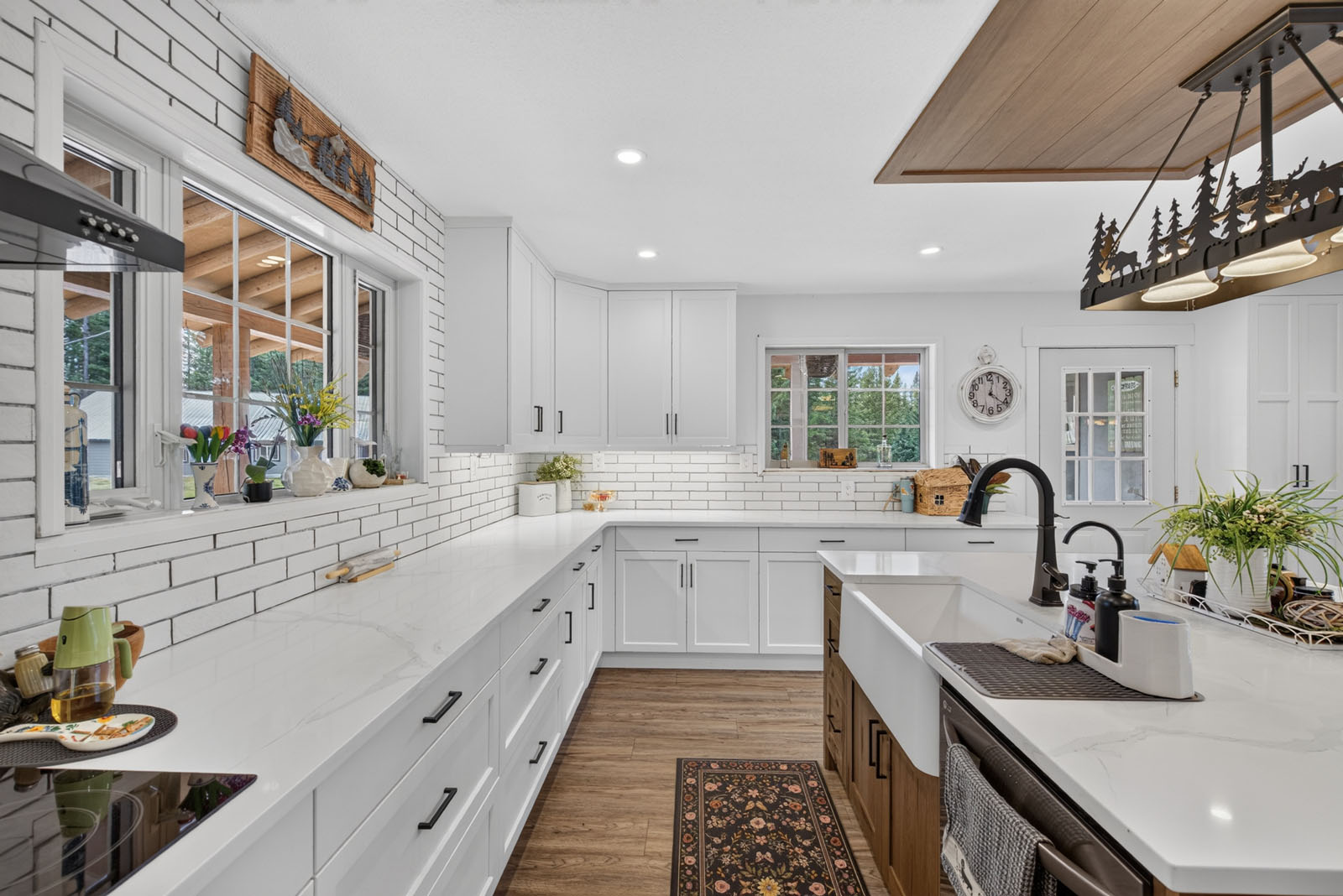
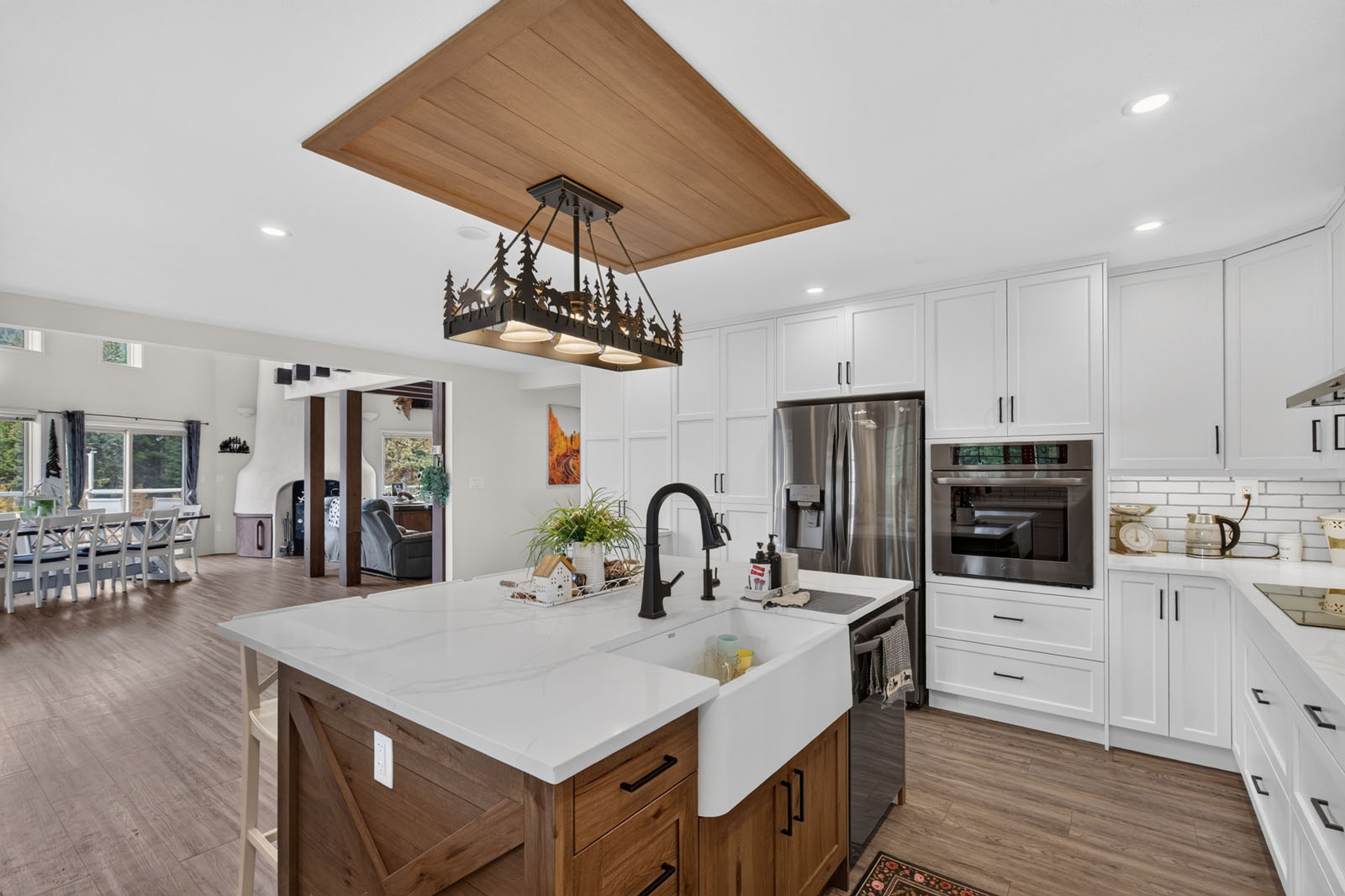
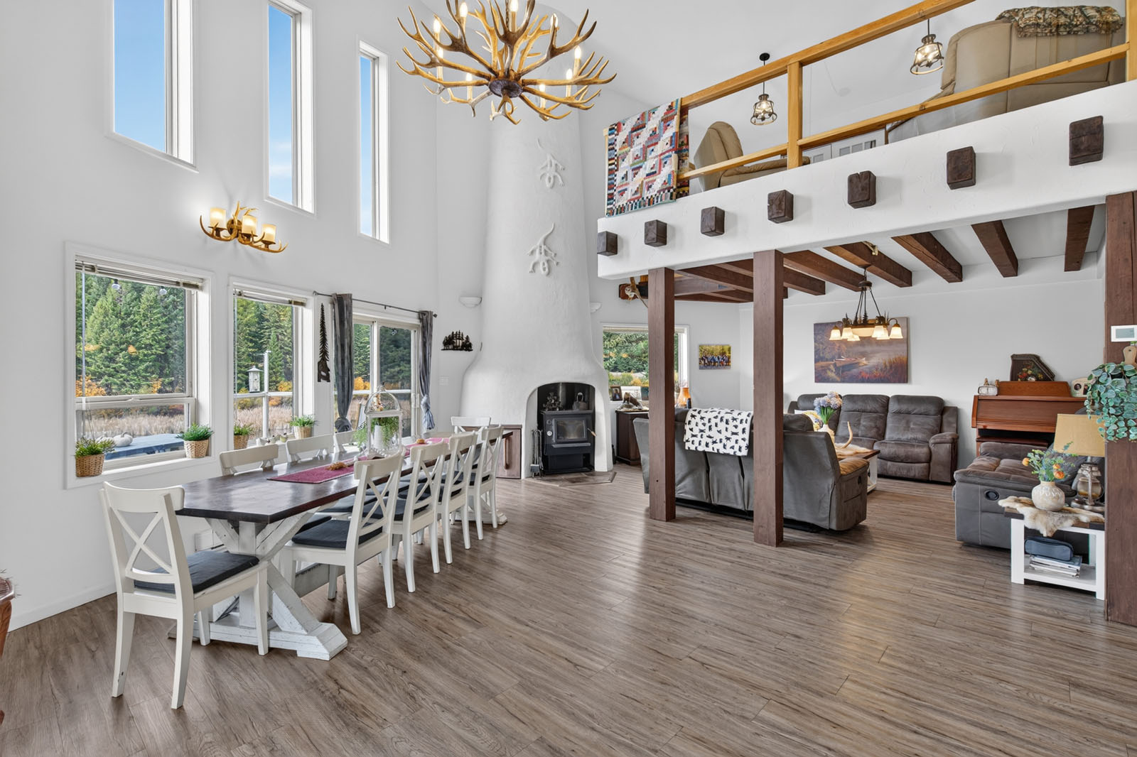
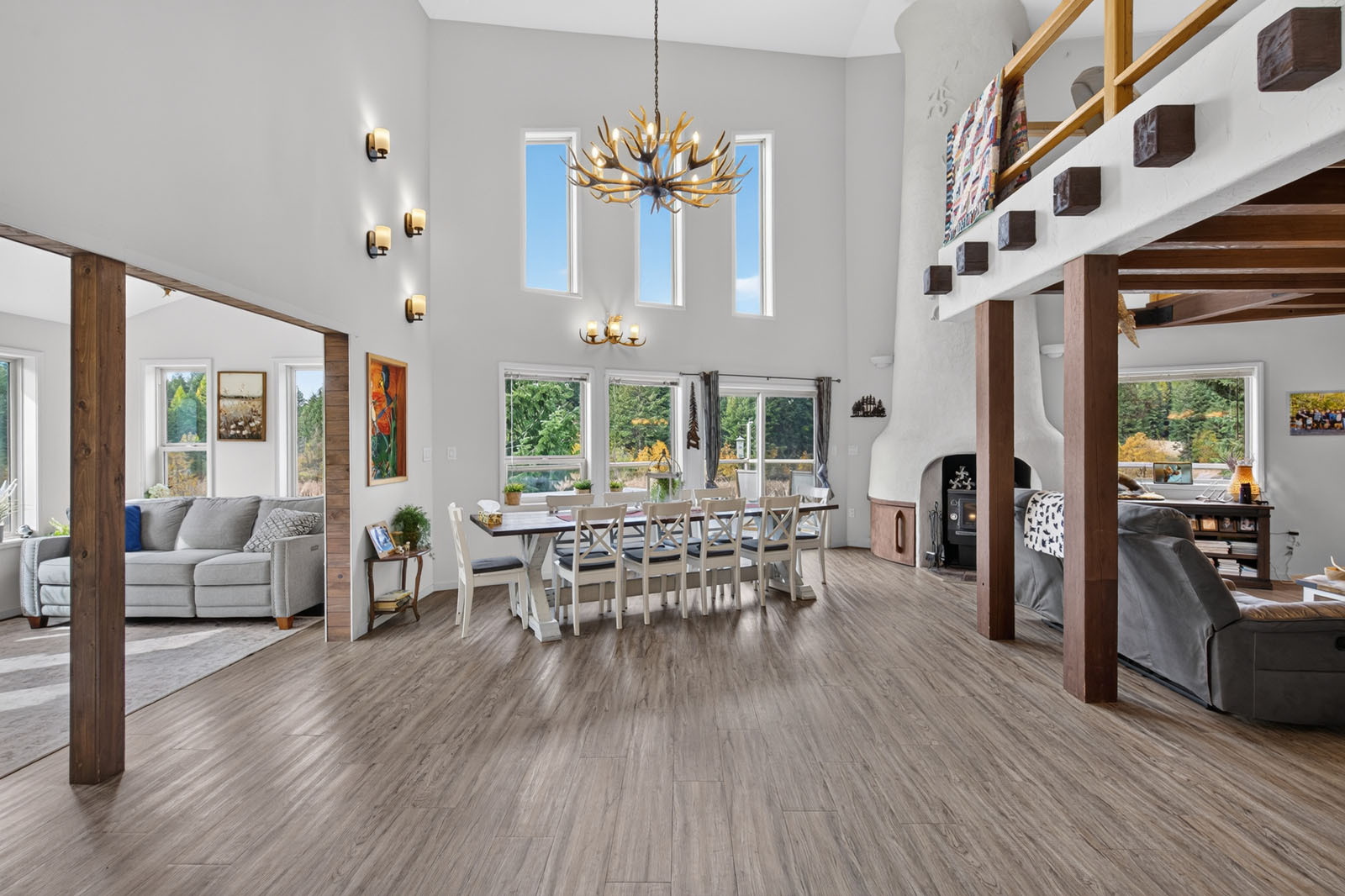
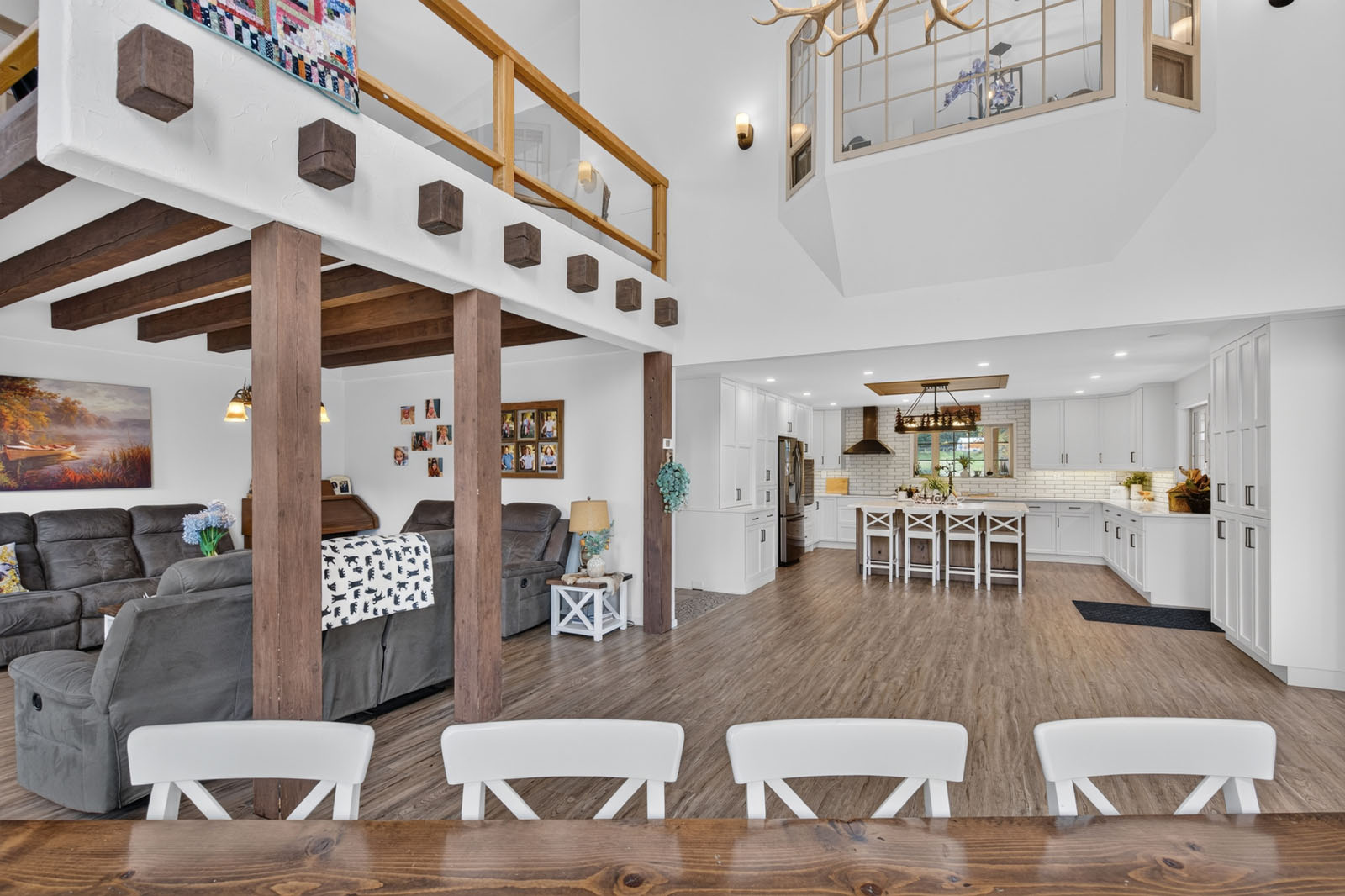
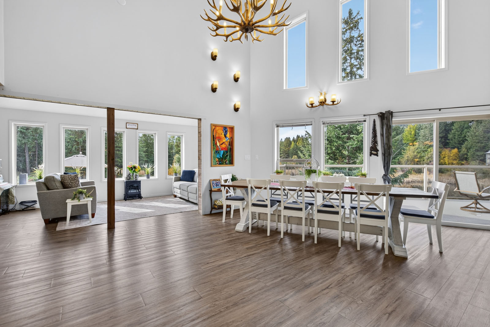
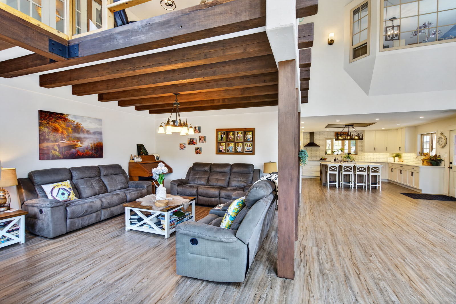
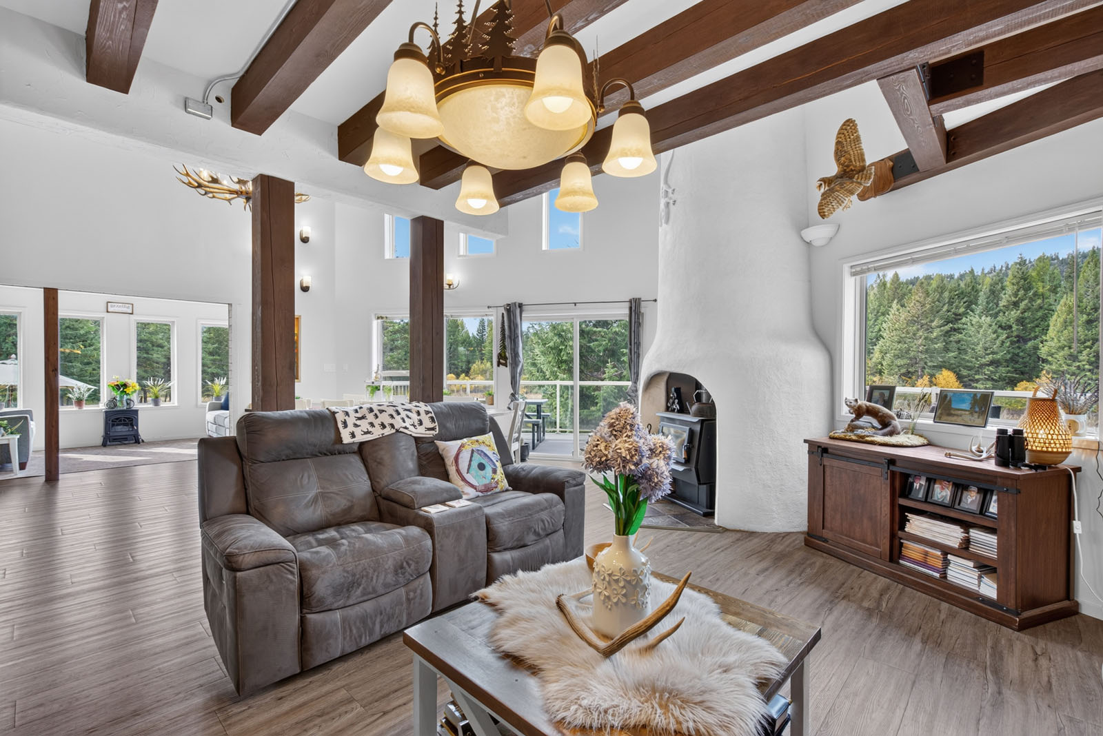
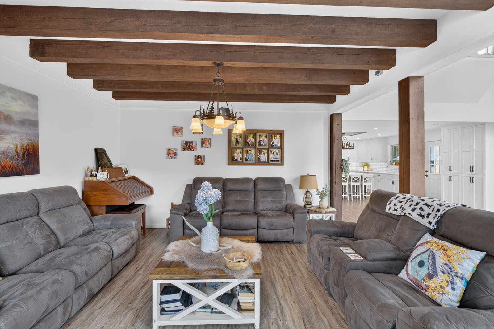
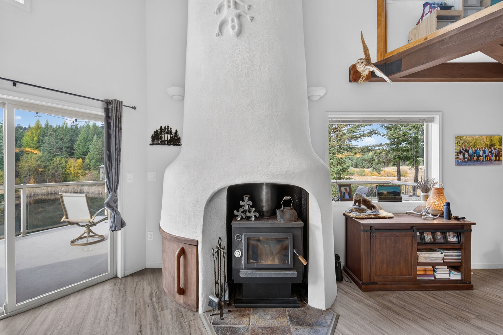
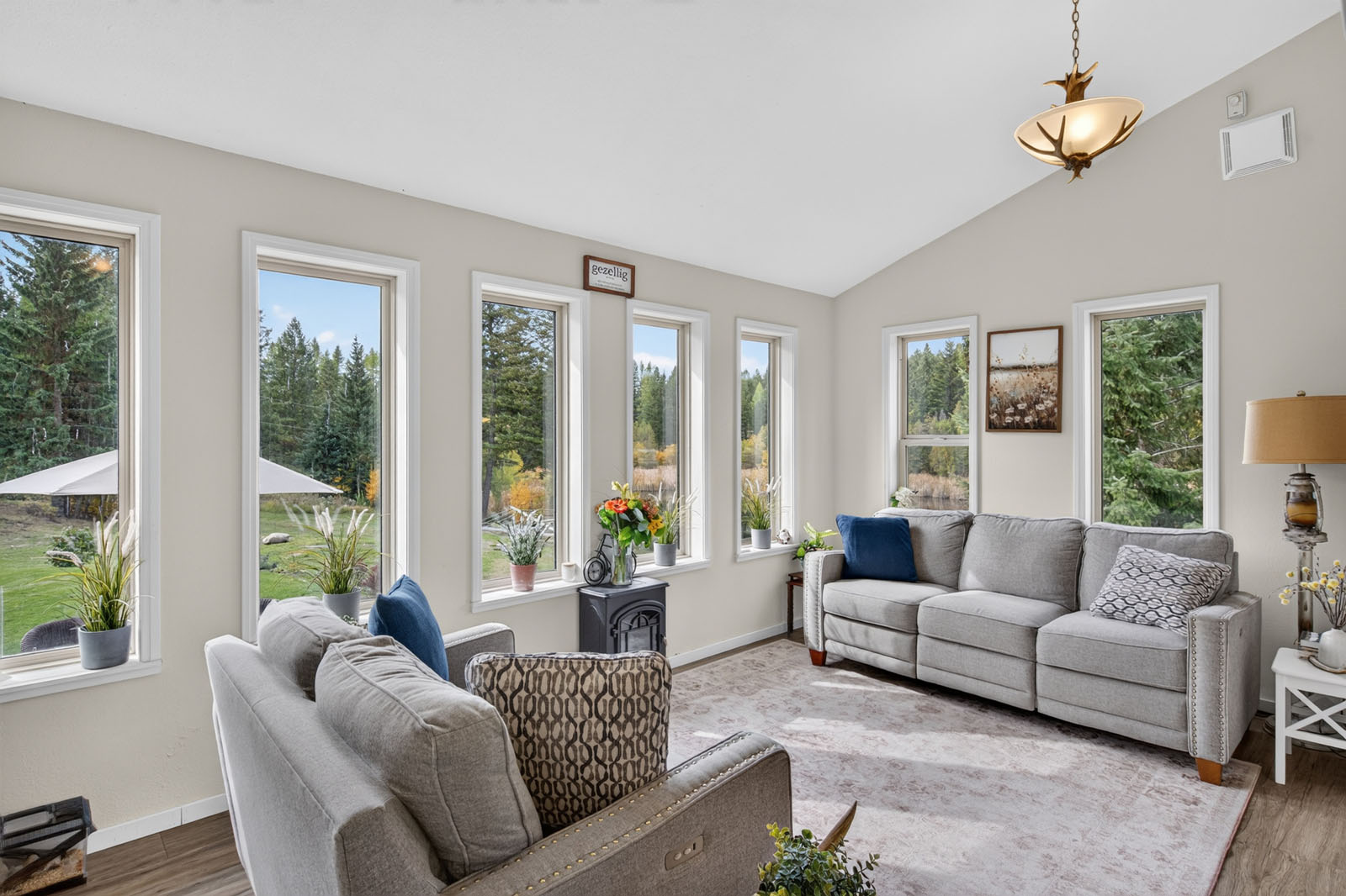
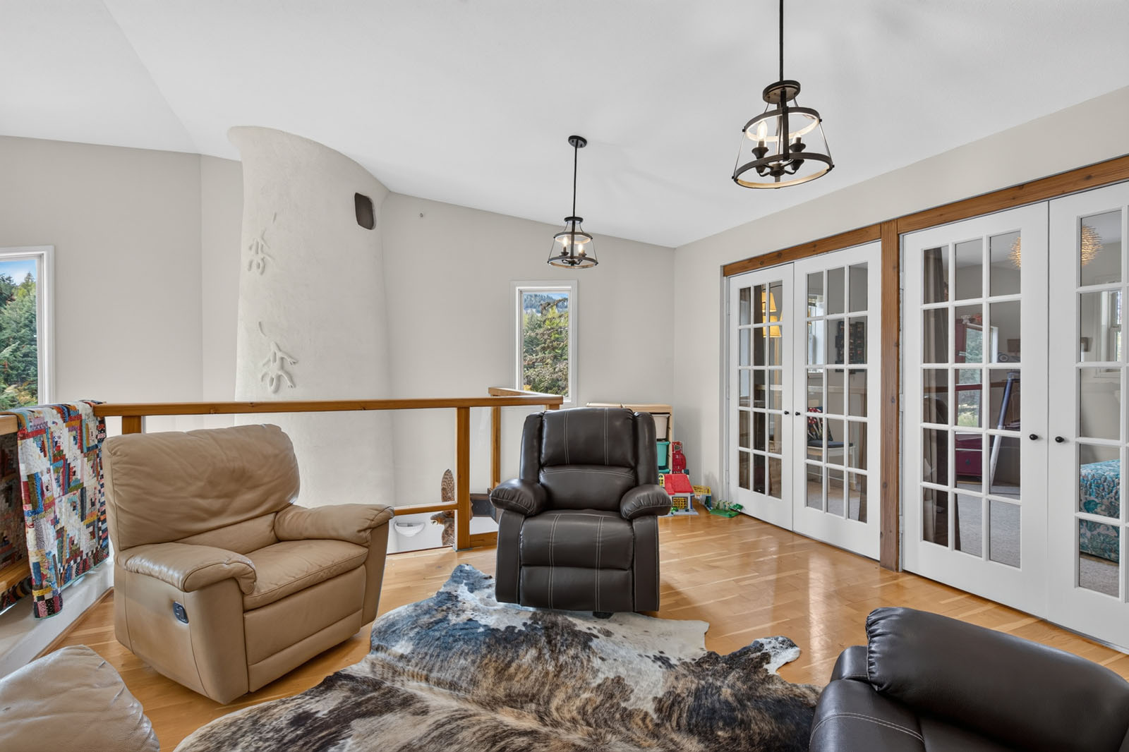
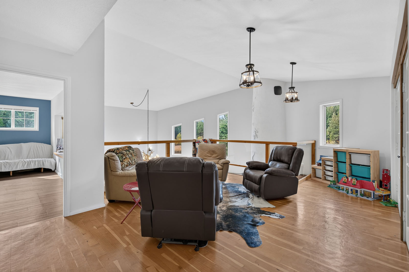
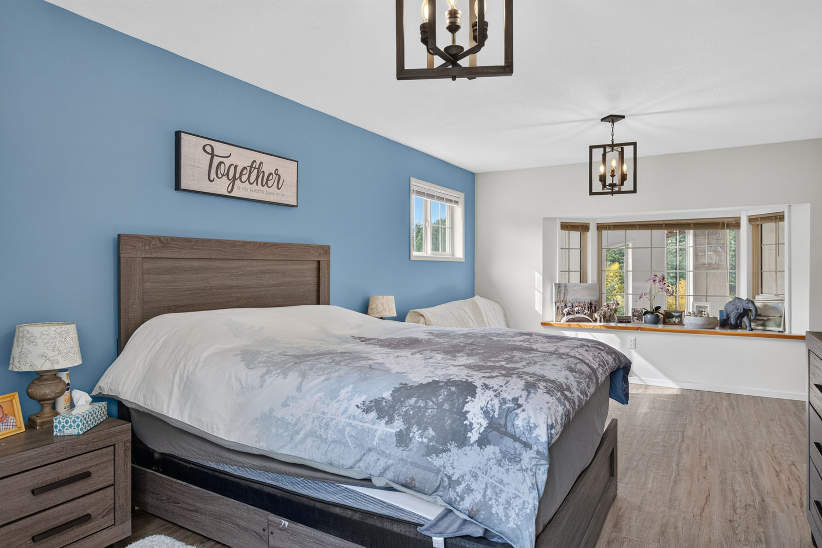
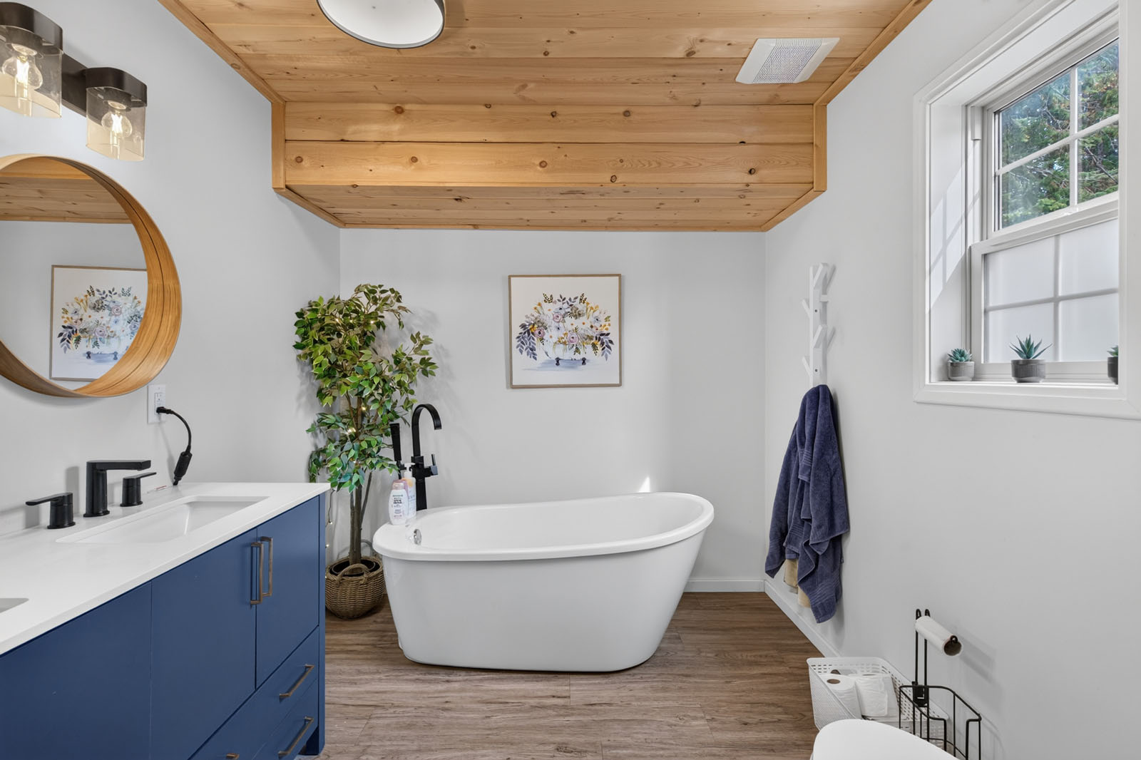
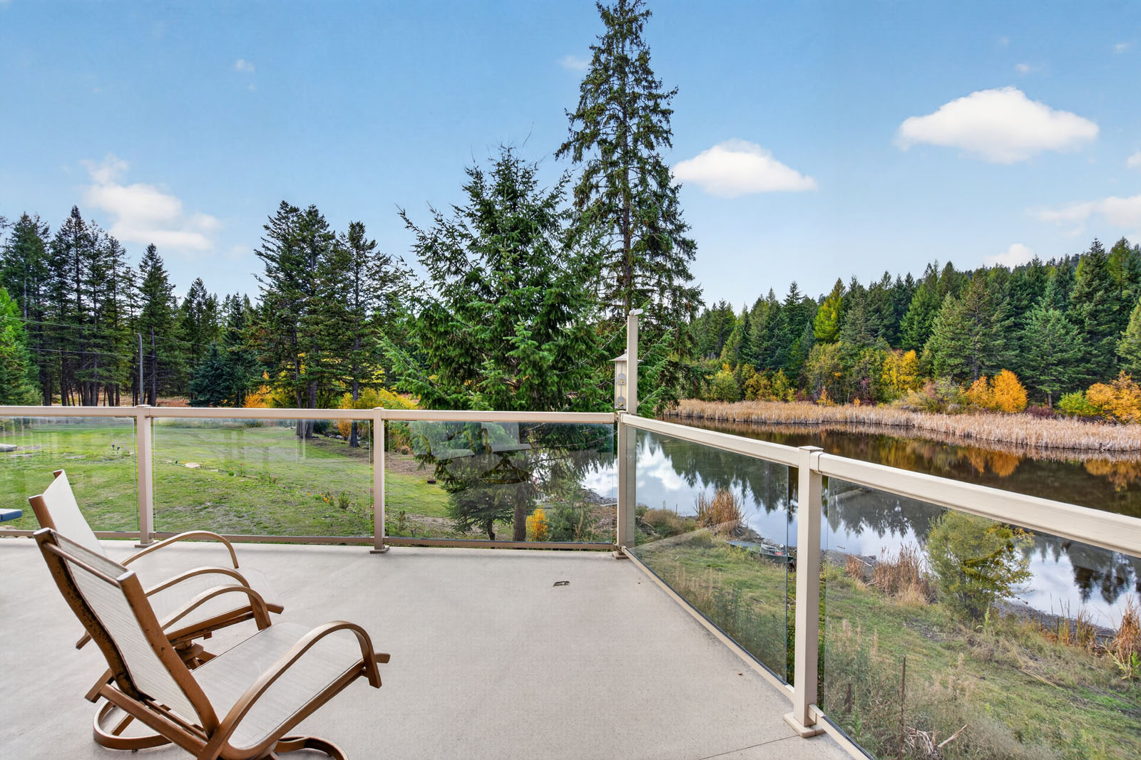
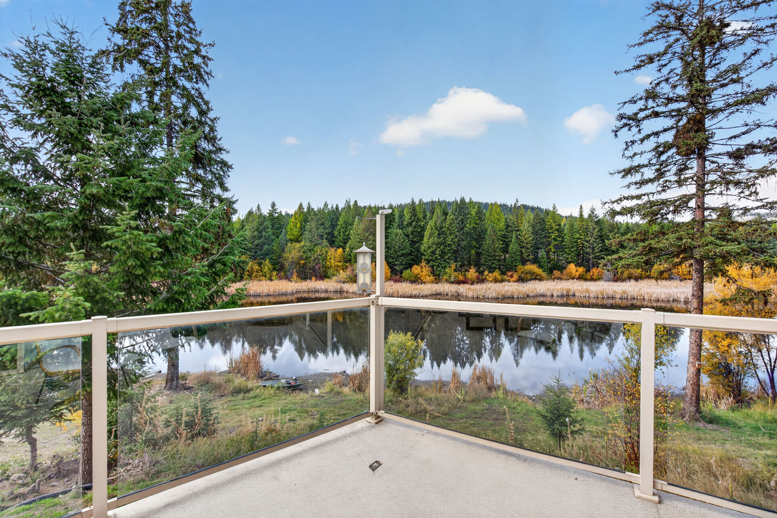
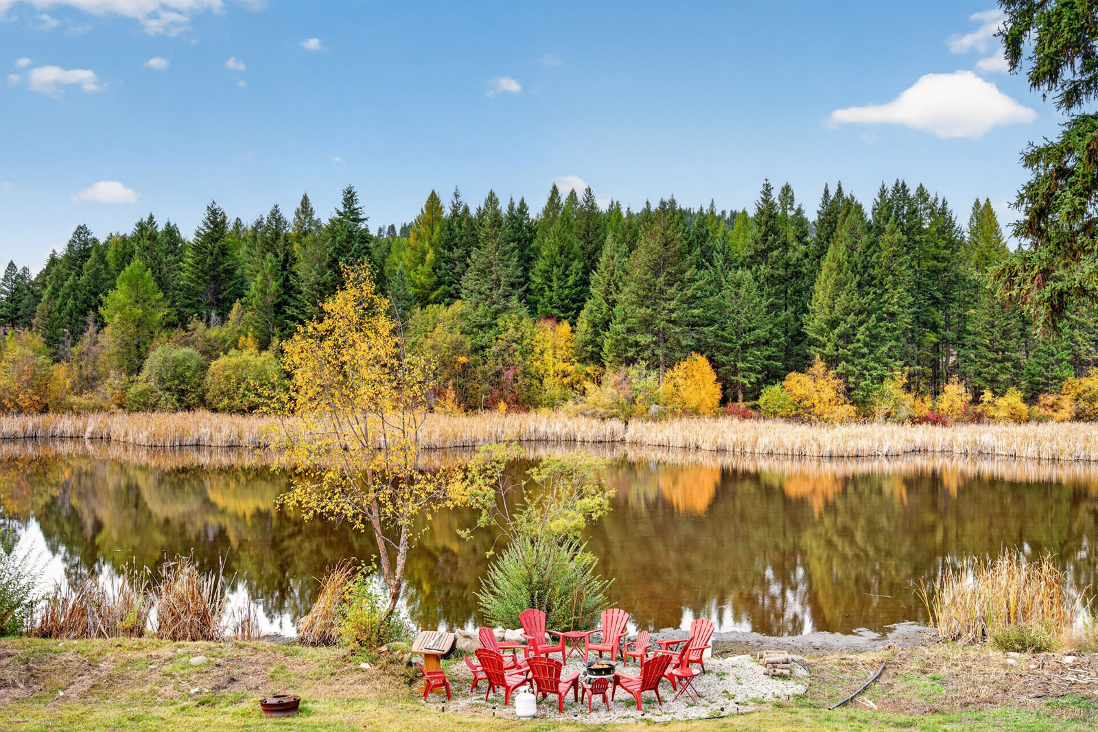
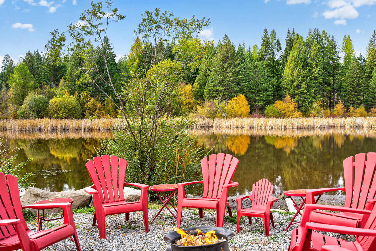
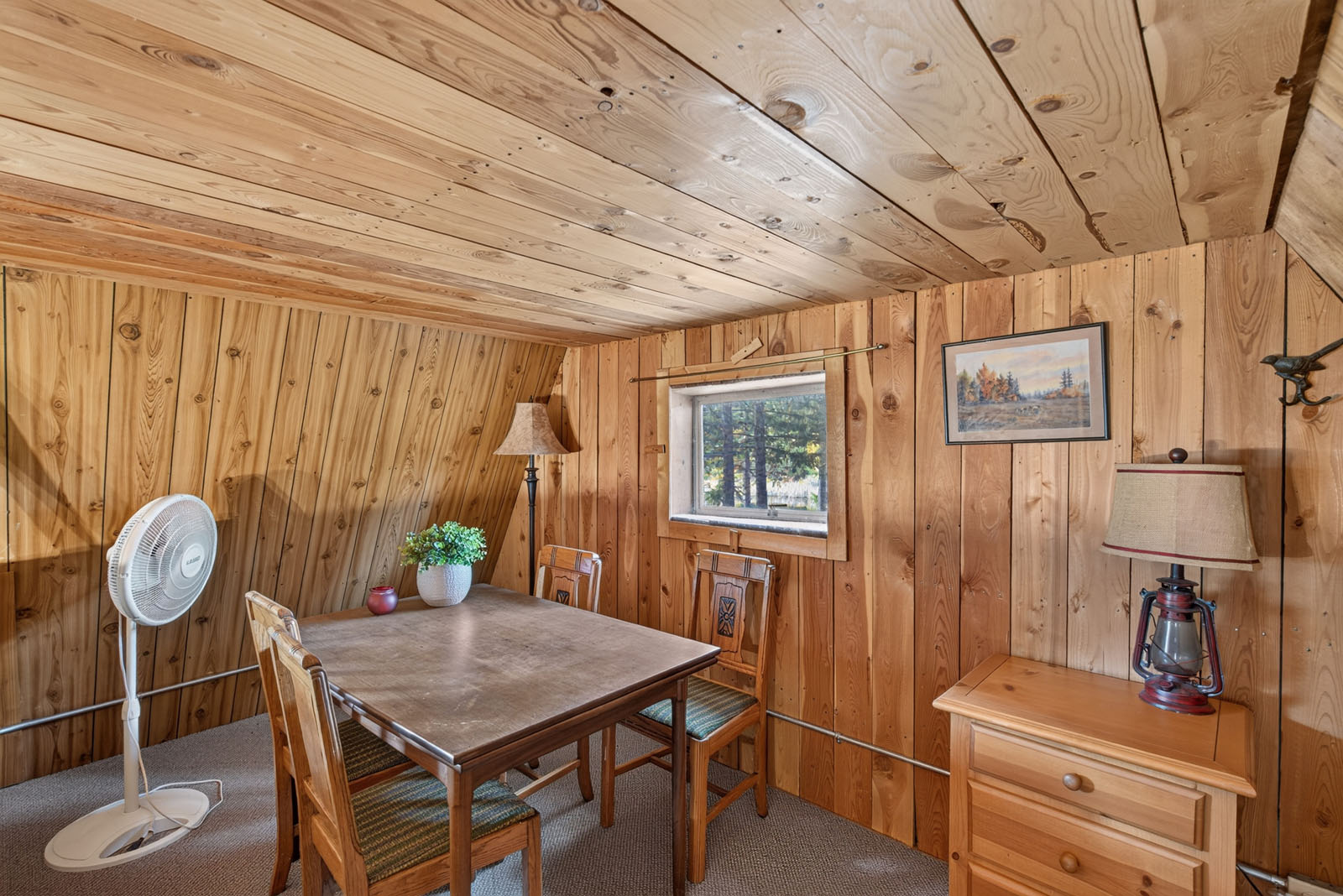
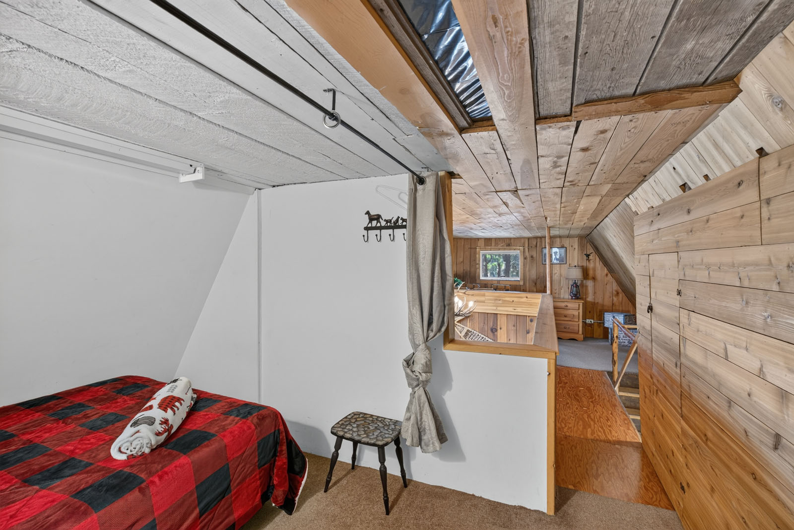
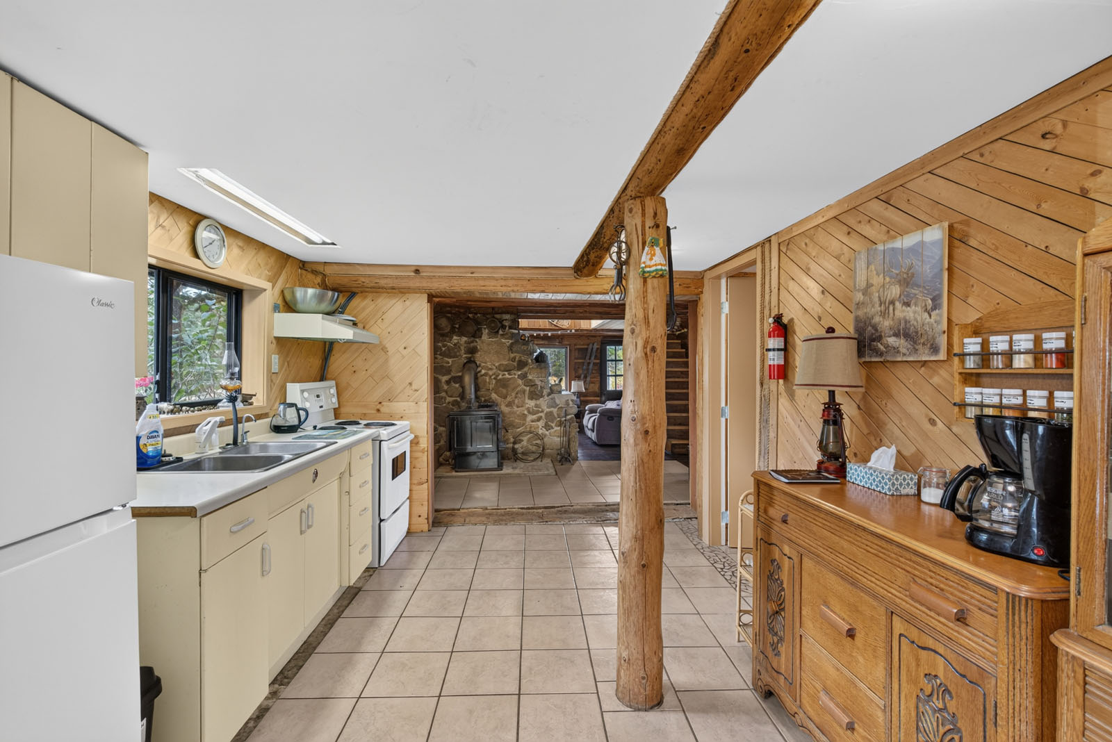
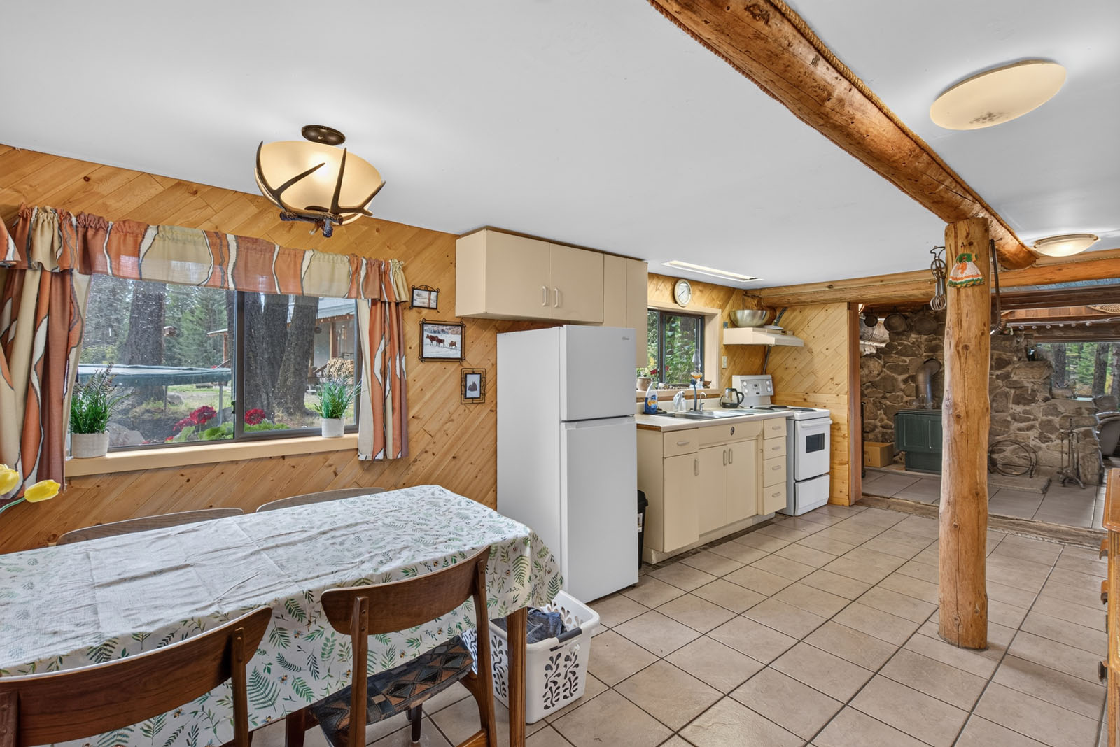
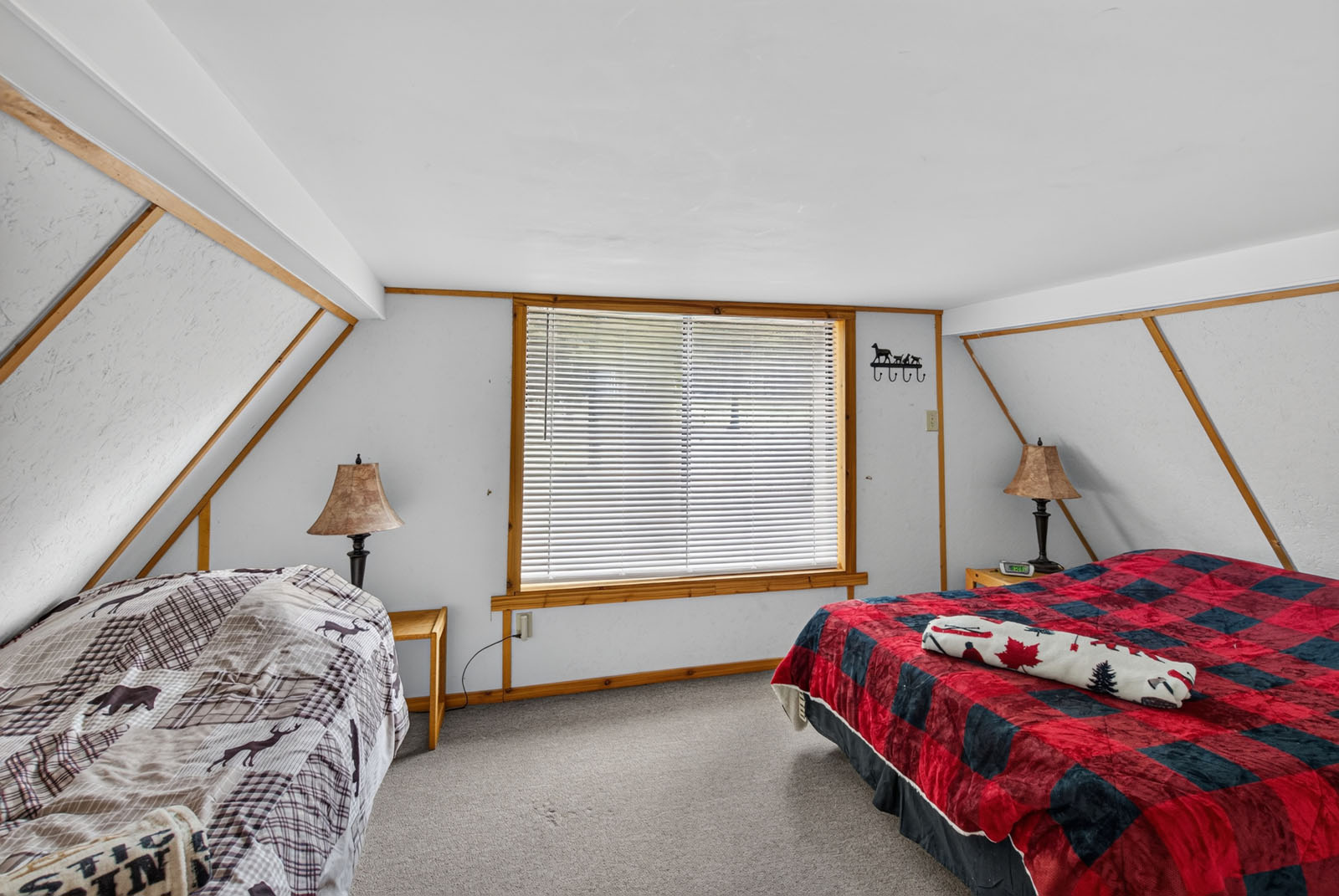
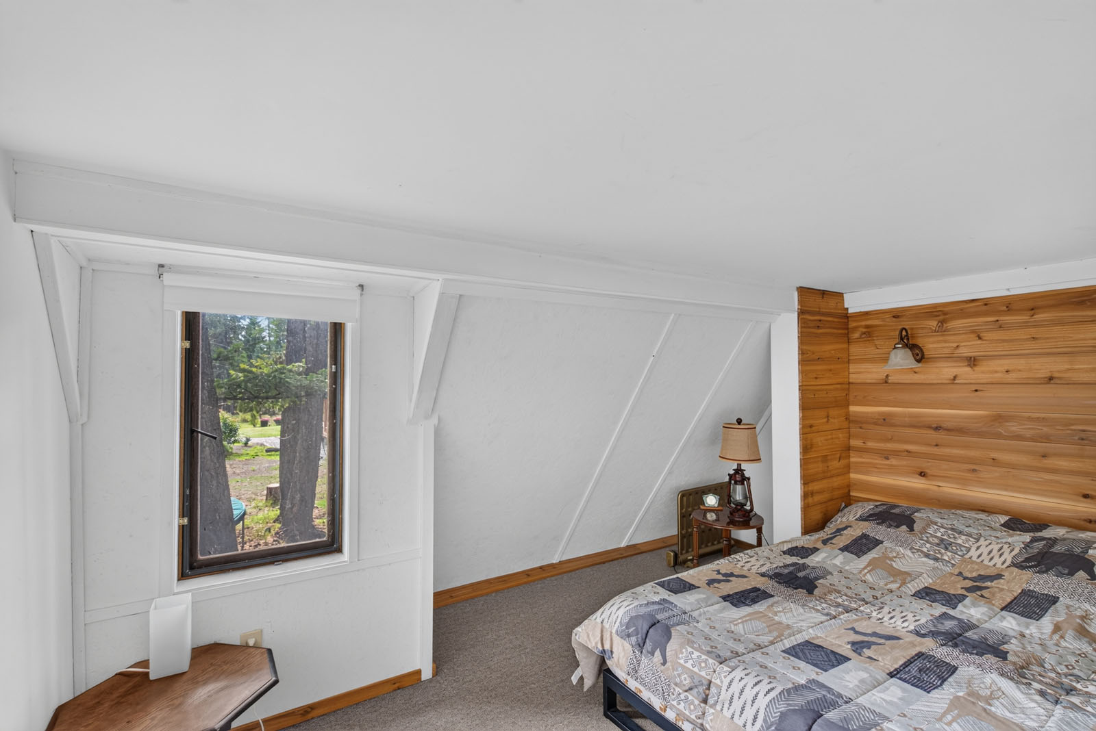
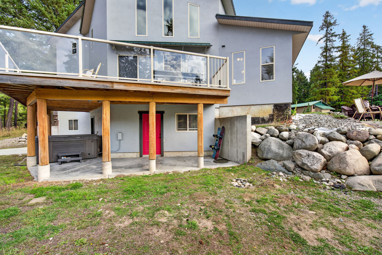
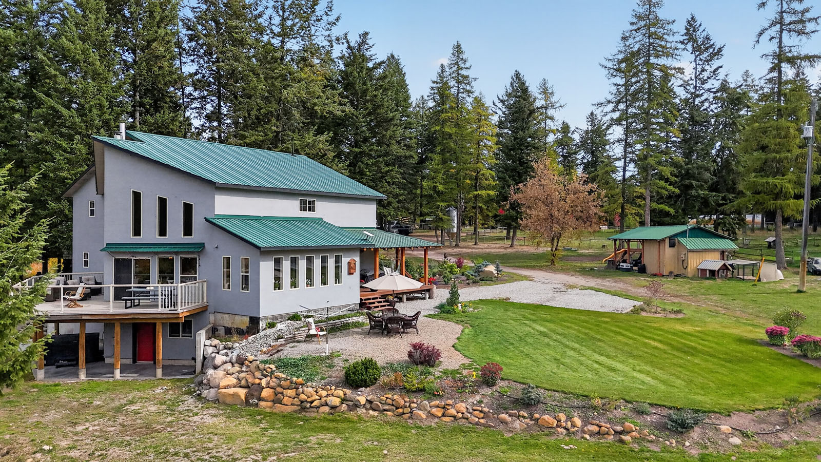
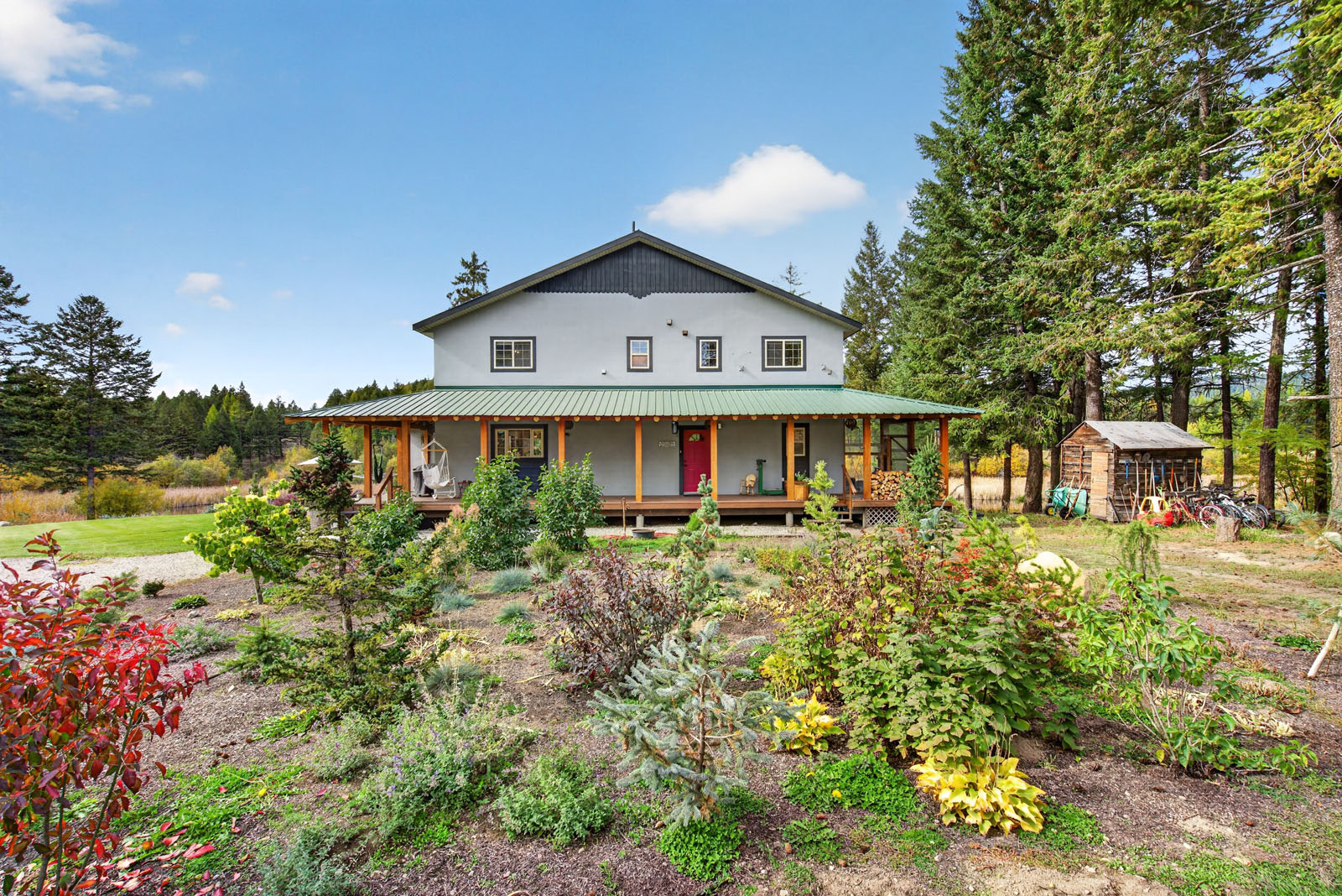
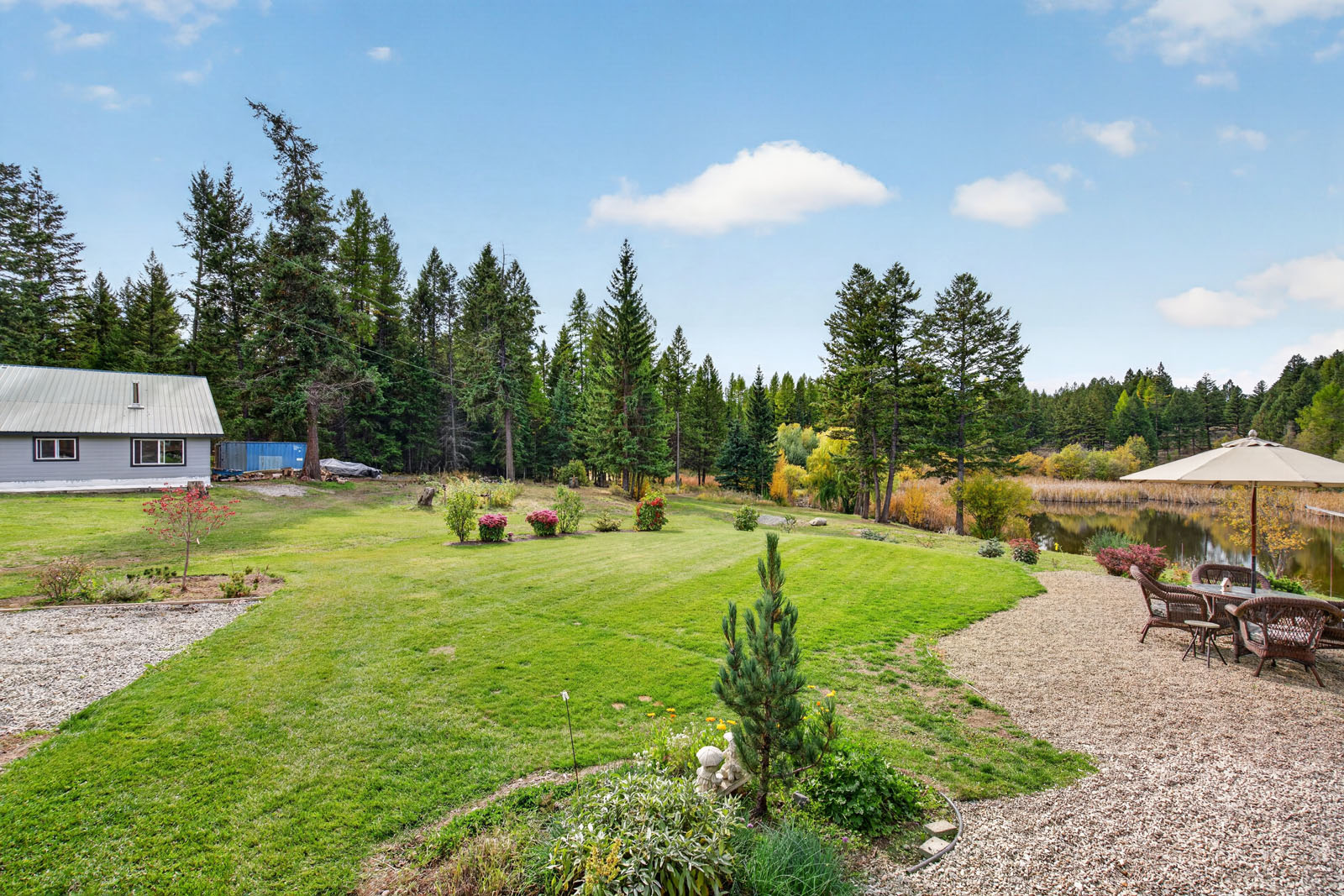
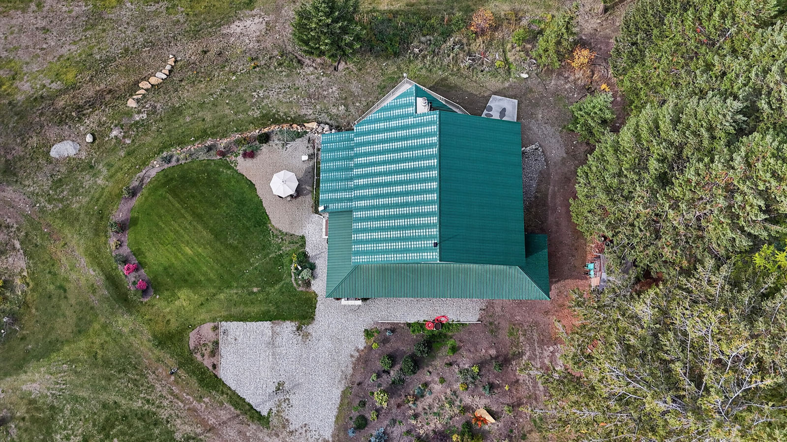
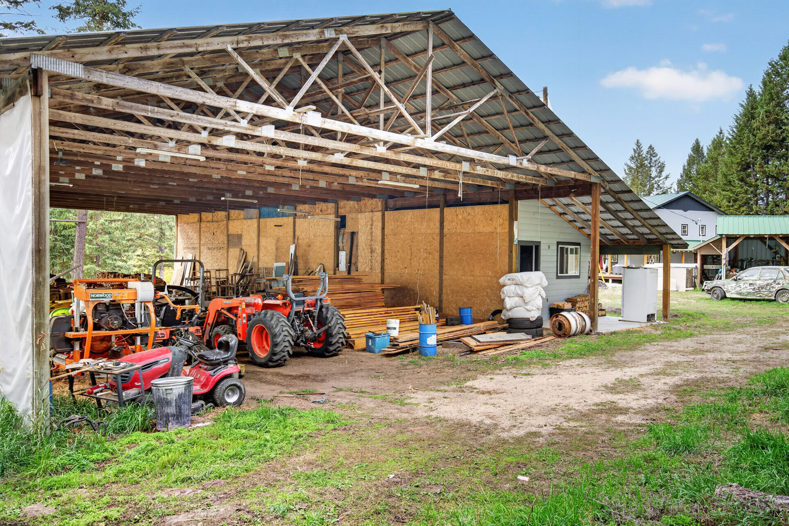
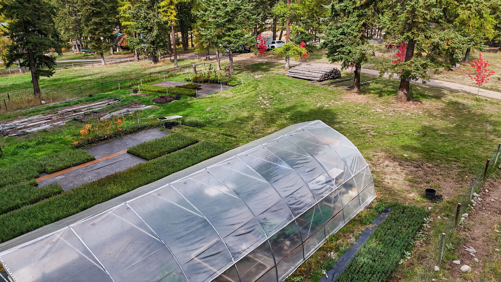
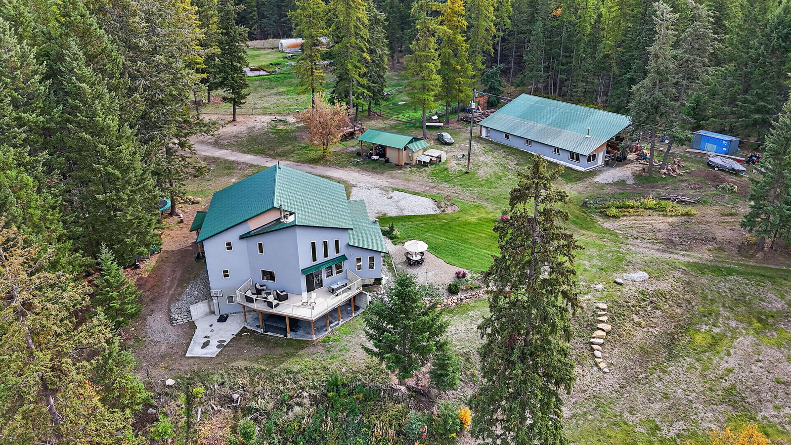
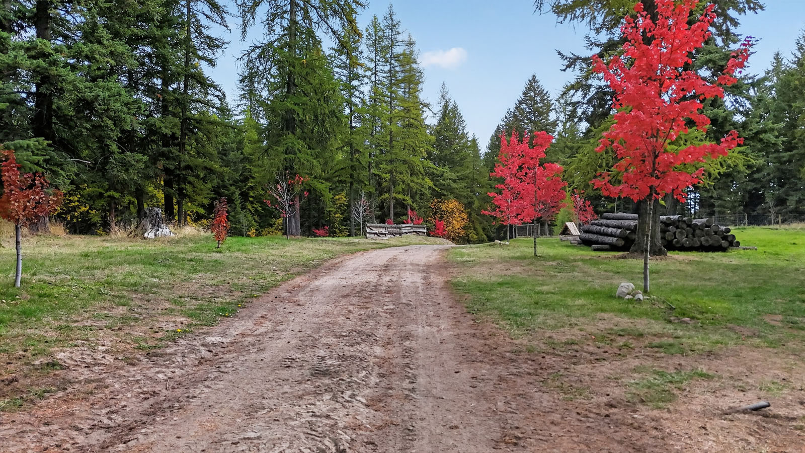
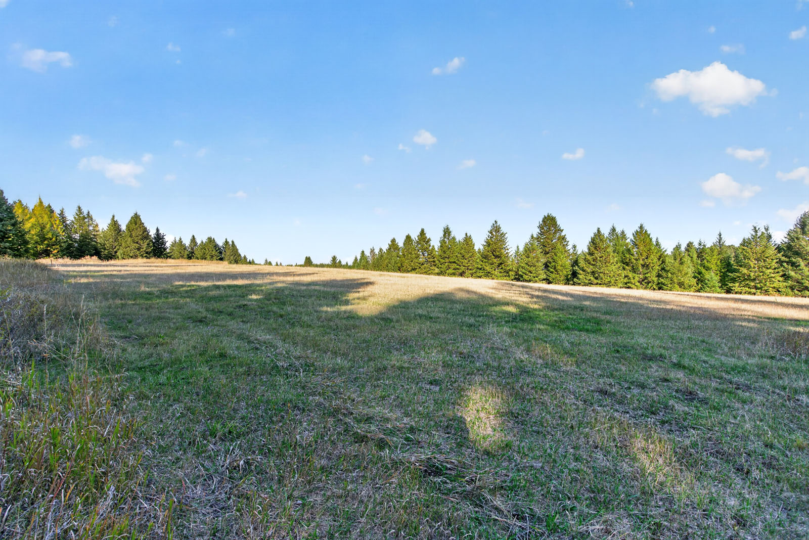
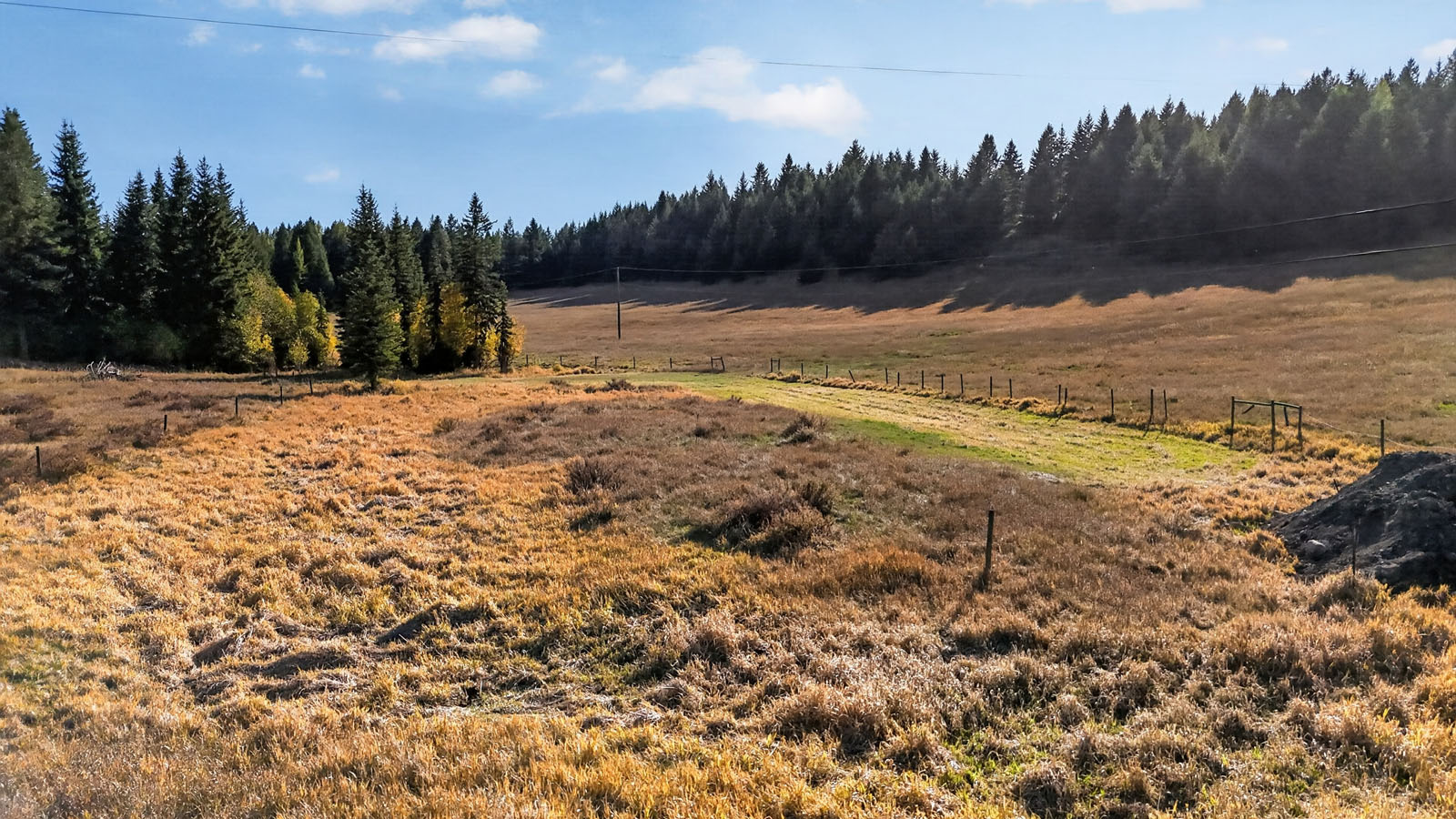
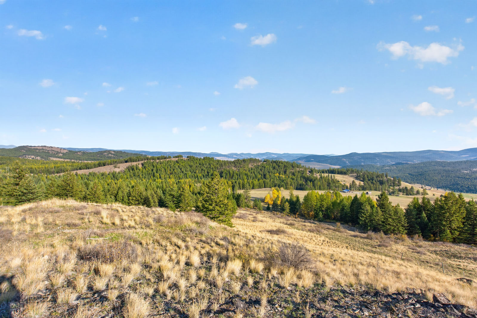
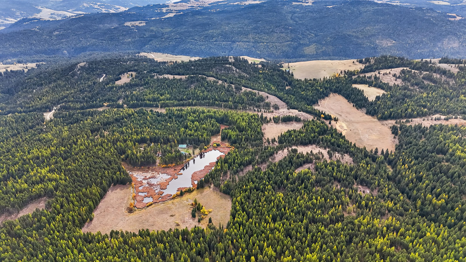
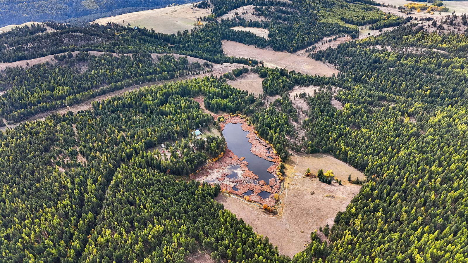
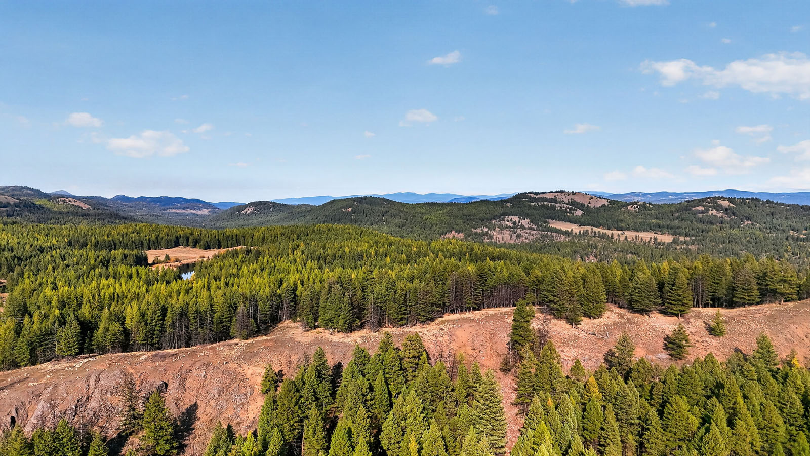
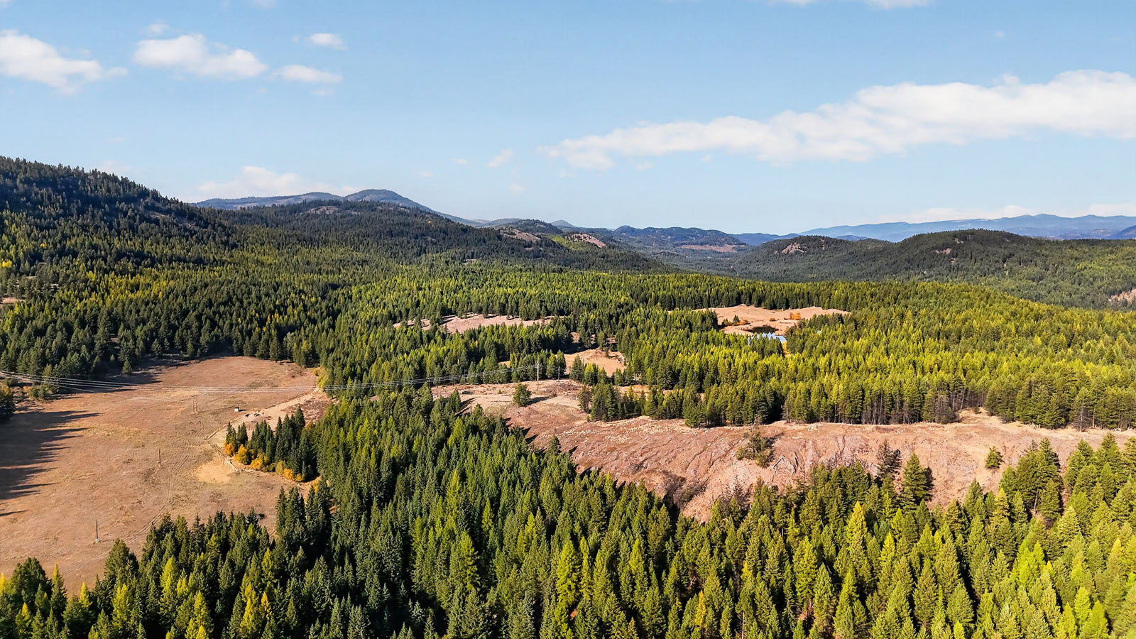
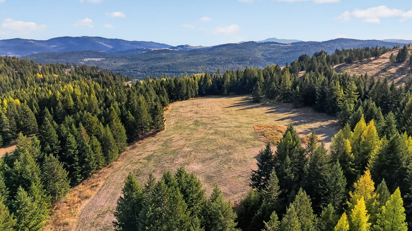
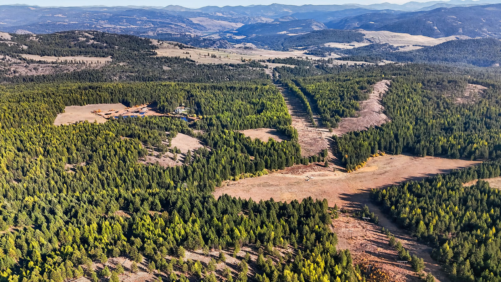
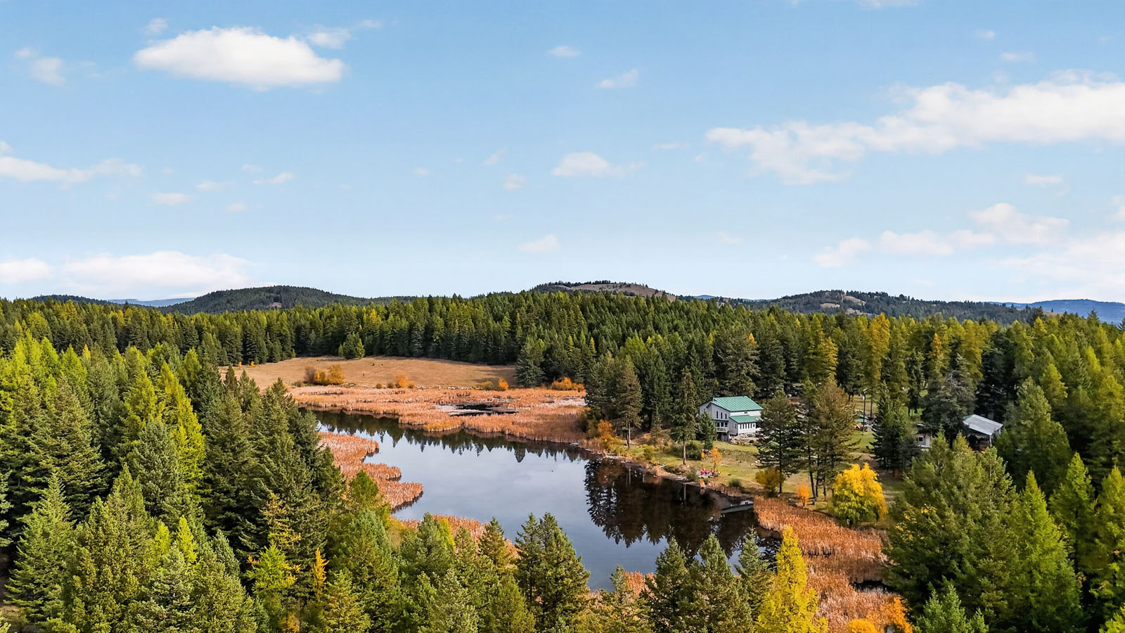
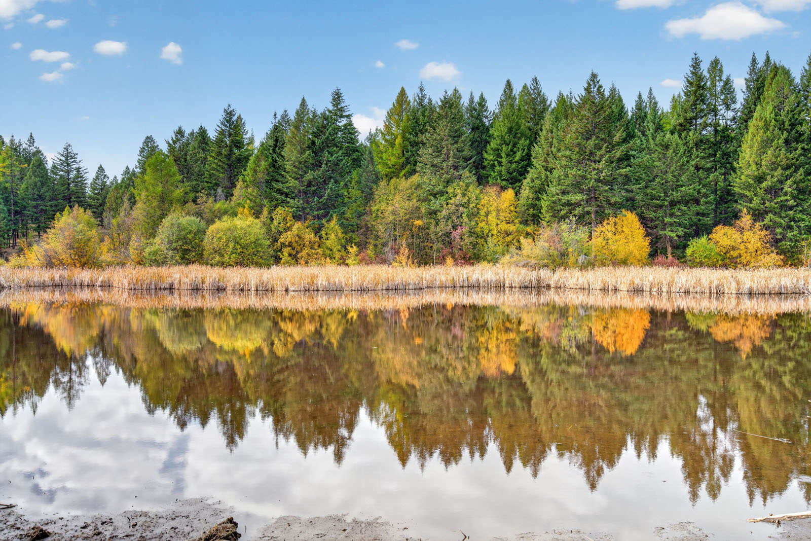
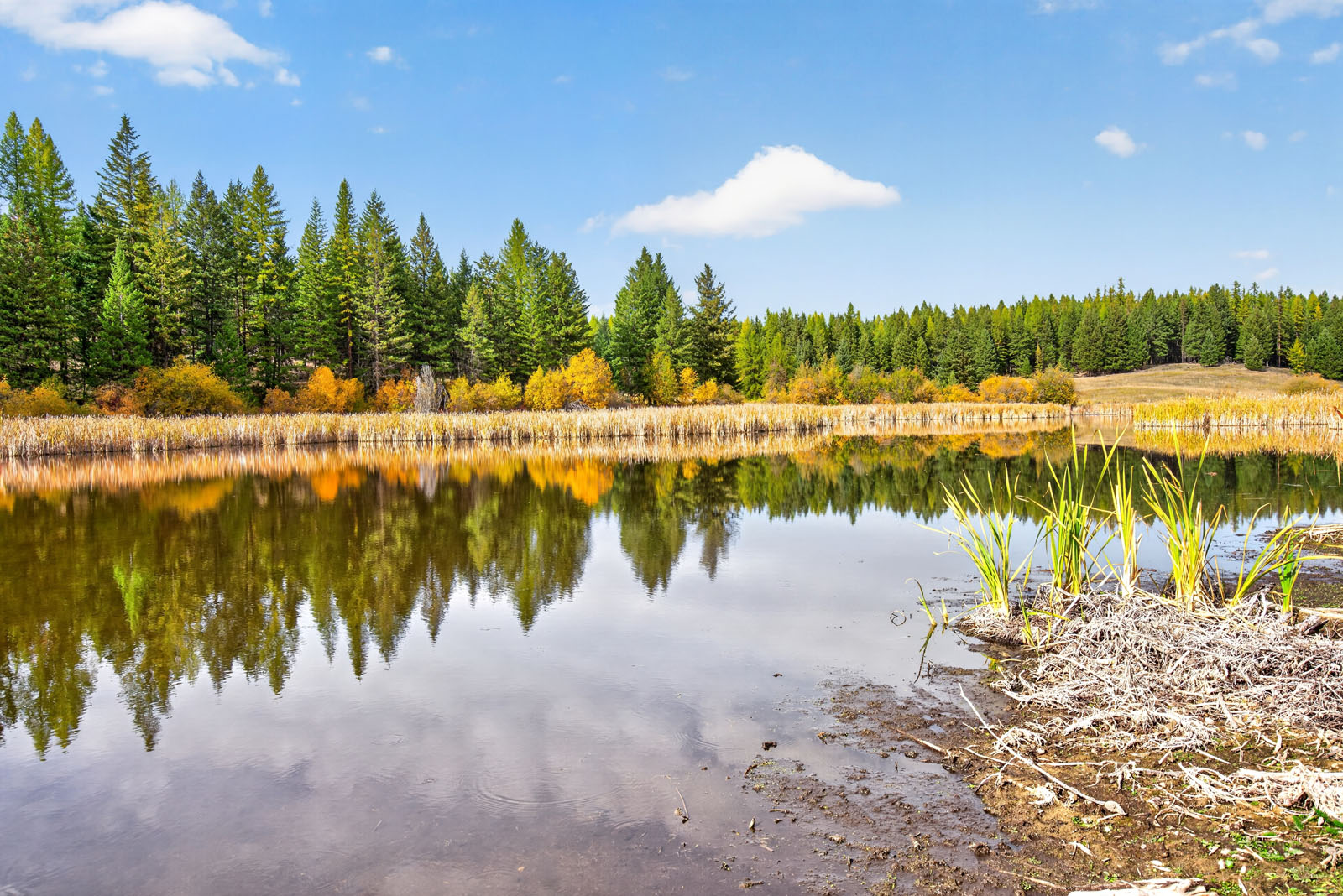
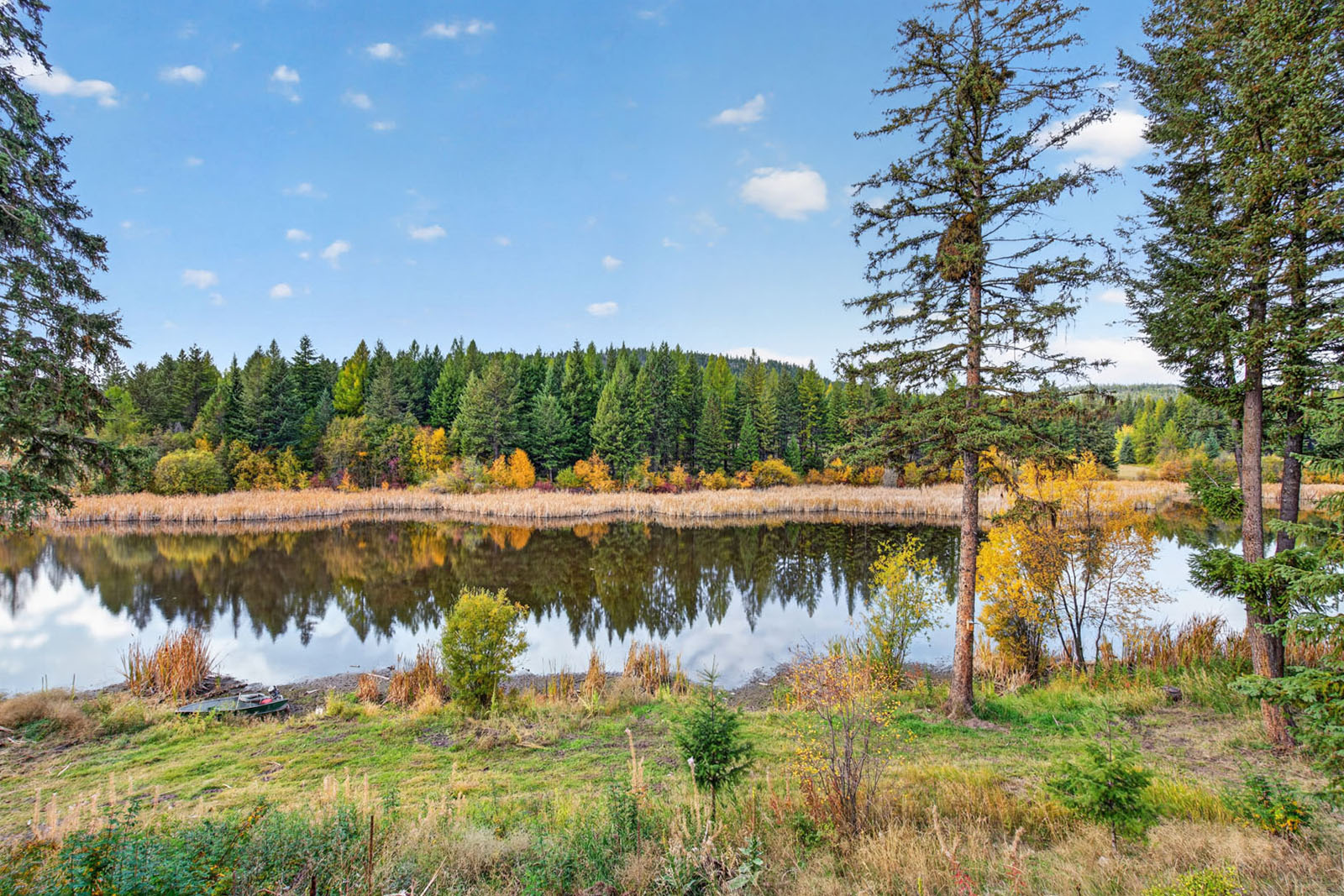
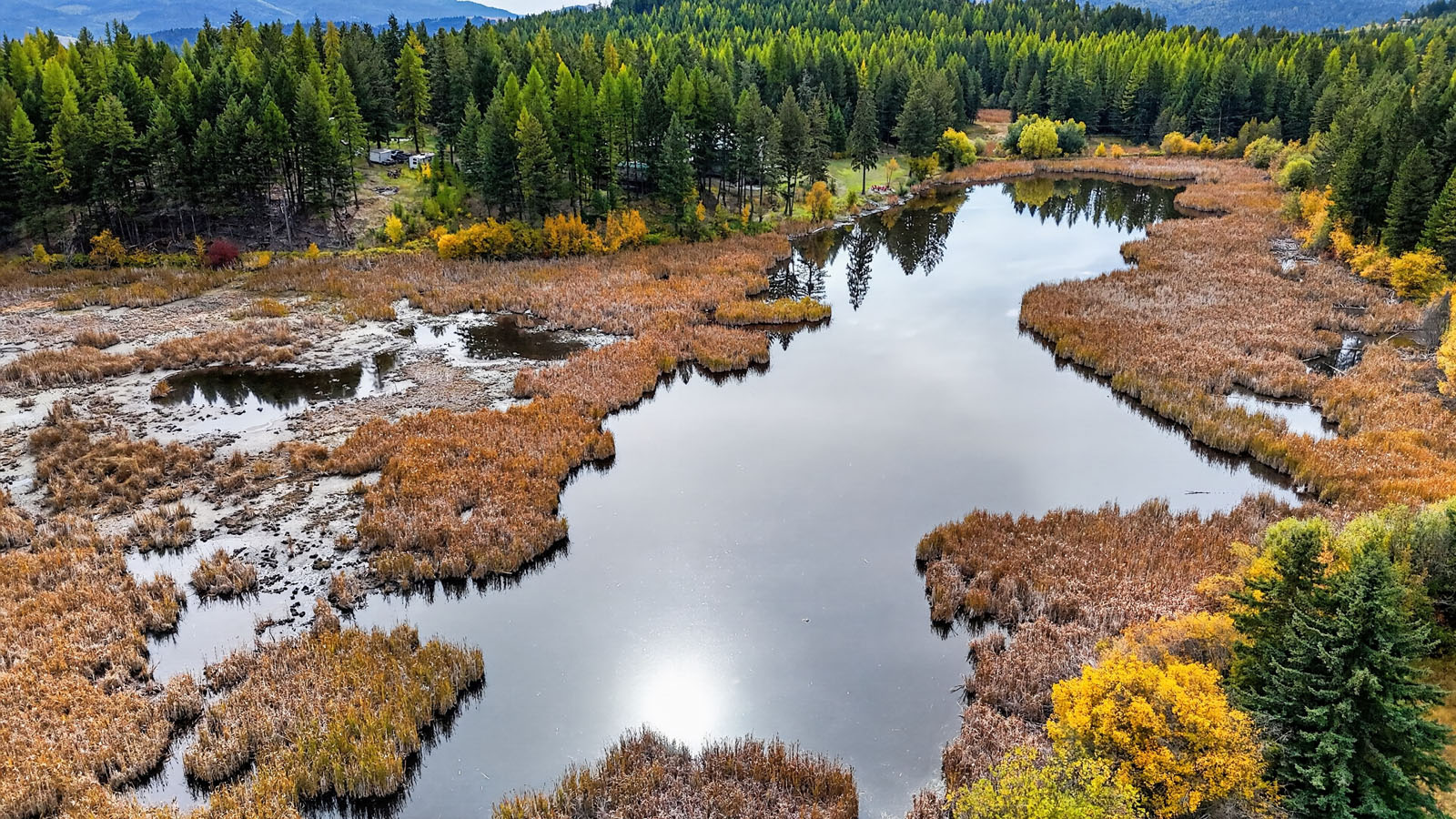
Welcome to Twilight Meadows, a working, self-sufficient acreage built around its own lake. With 267 acres of hayfields, pasture, forest and trails, a renovated family home and several ready-made ways to earn, the property suits a family who wants space and independence, a buyer who wants to raise cattle or horses, or anyone looking for a rural lifestyle that helps pay for itself.
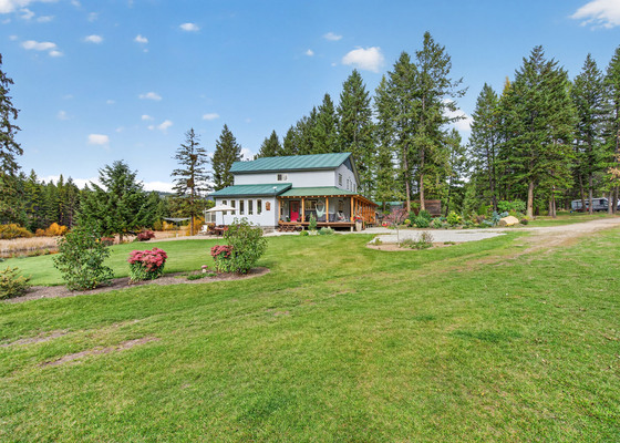
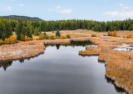
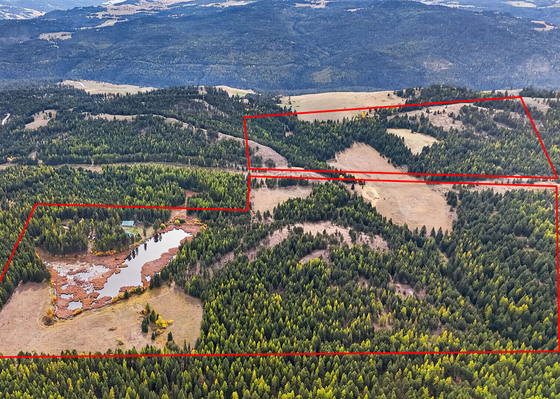
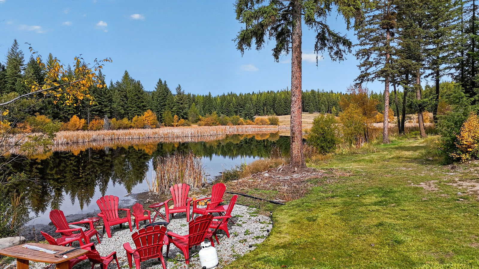
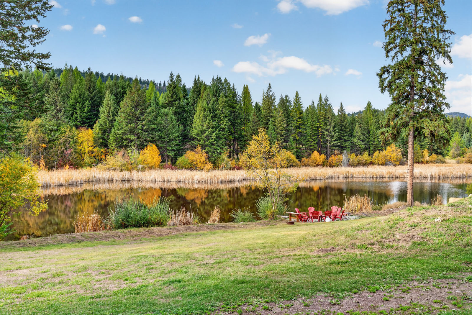
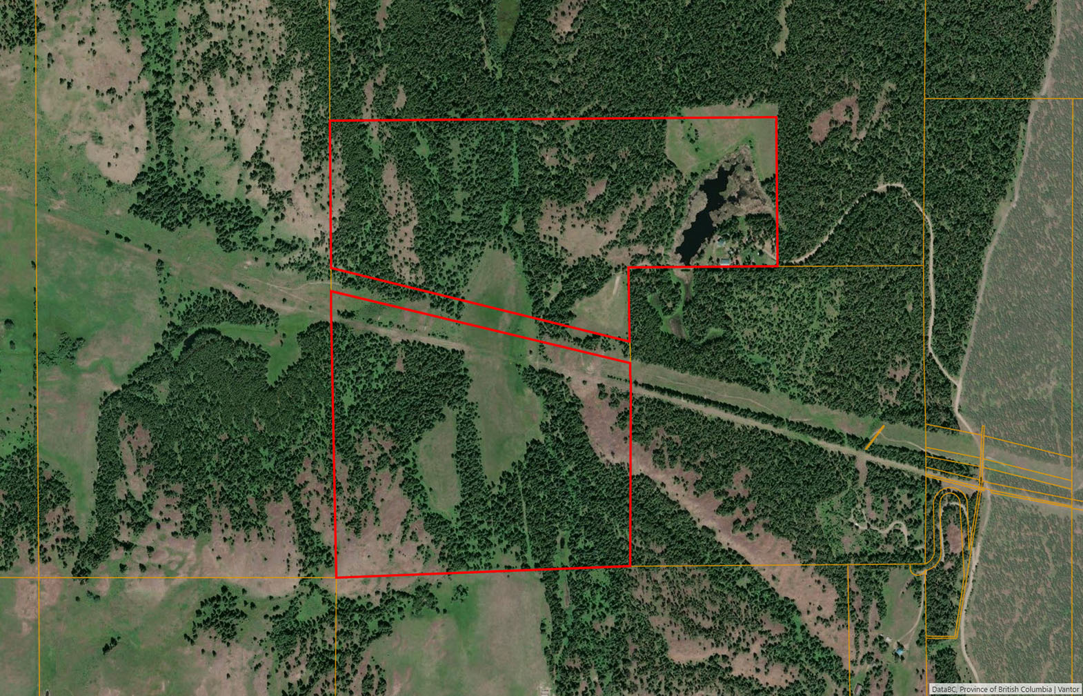
A private 10-acre lake sits within the property's boundaries, crossed by a causeway and framed by forest and open meadow. It is perfect for a morning paddle, wildlife watching or a quiet evening on the shore. Beyond the lake, the land opens into hayfields and pasture and climbs into mixed forest, with a dugout and a pond adding more water to the landscape. About 70 acres of fenced pasture and hayfield produce enough hay to support an estimated 40 to 50 head of cattle. A pump house sits beside the fields. The forested portion holds valuable standing timber, ready to be milled into lumber for new projects.
A network of named trails loops through the property: the Dugout Loop, the Elk Walk, the Hill Loop, the Whitetail Loop and the Creek Loop. They are made for walking, horseback riding and cross-country skiing. Moose, elk, mule and white-tailed deer and wild turkey are regular visitors.
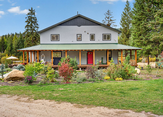
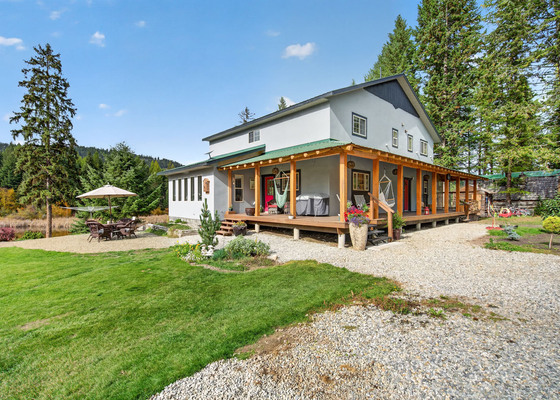
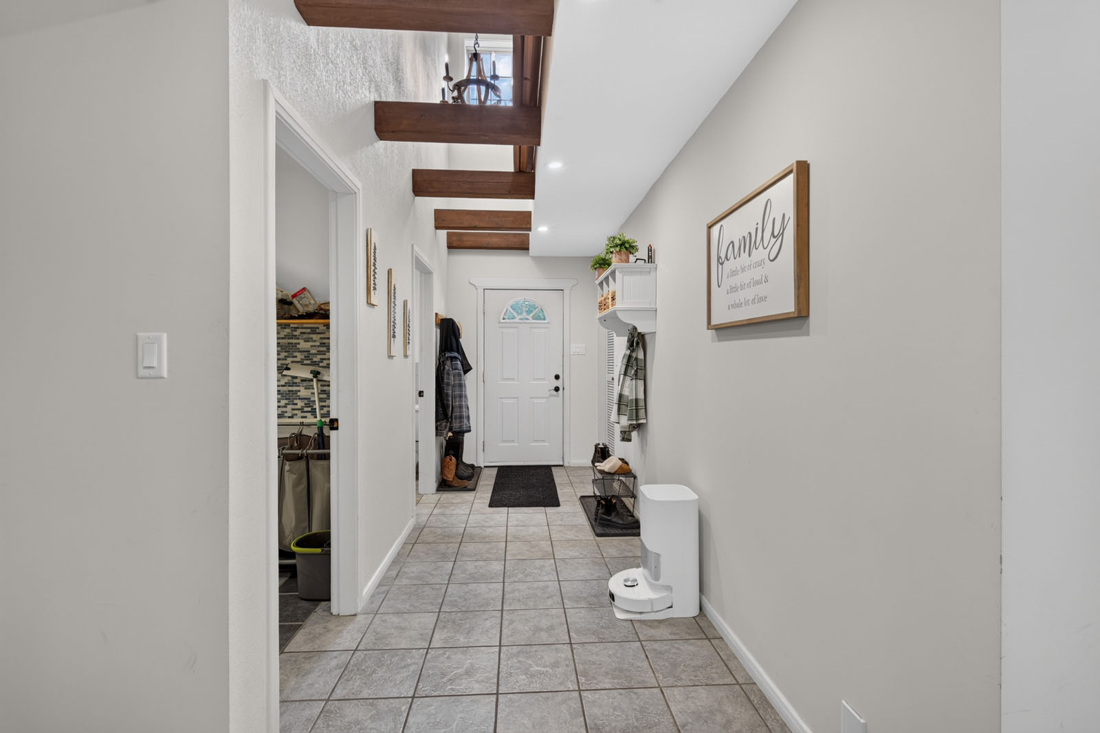
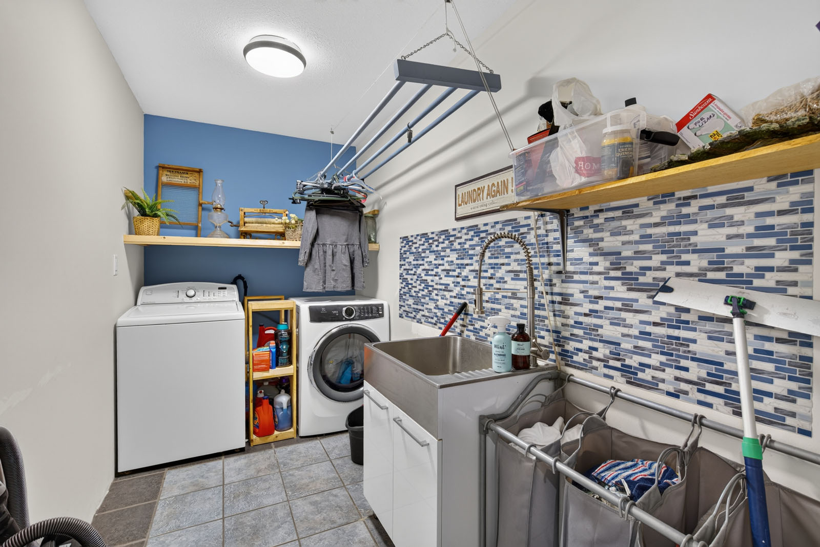
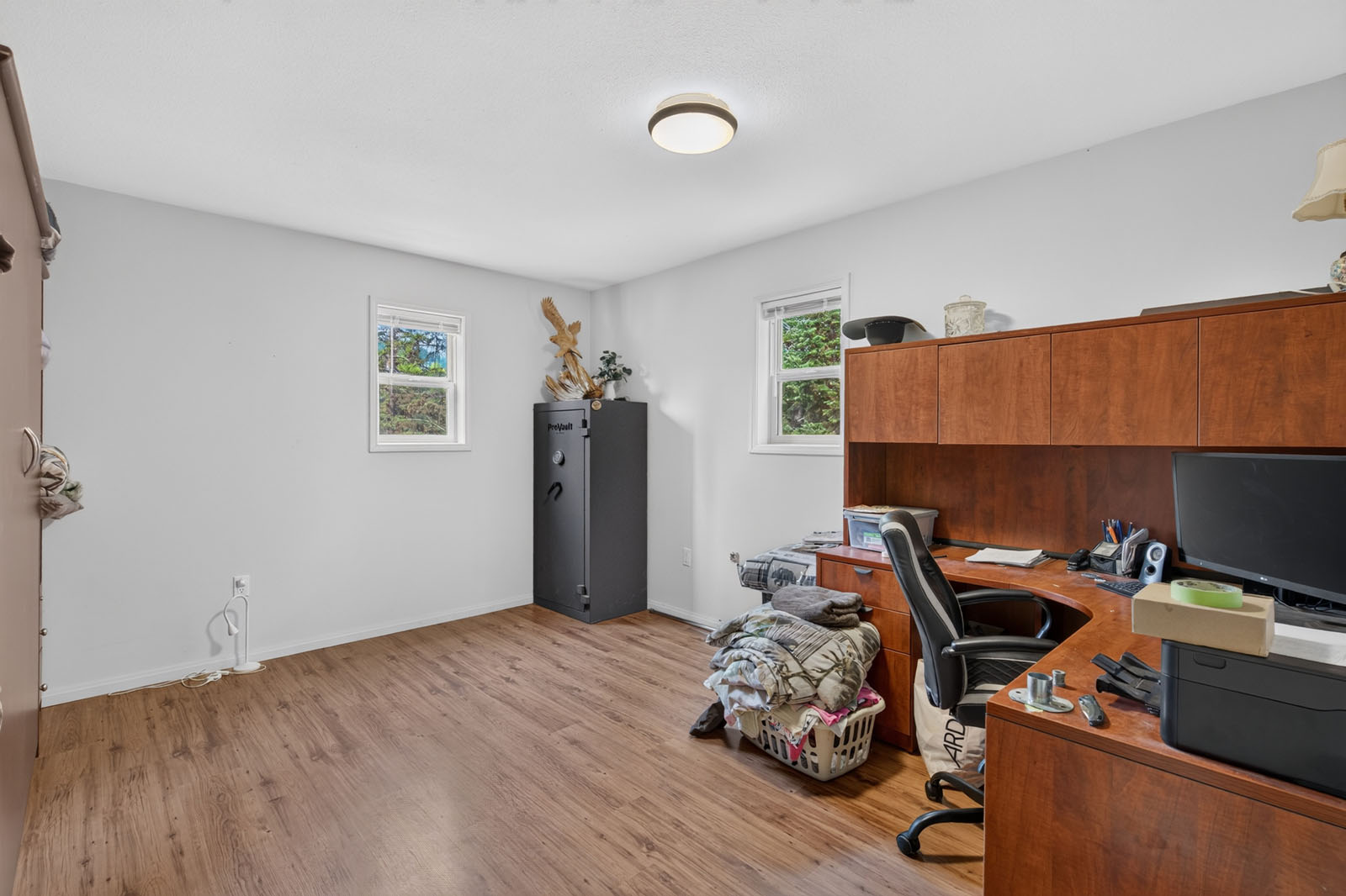
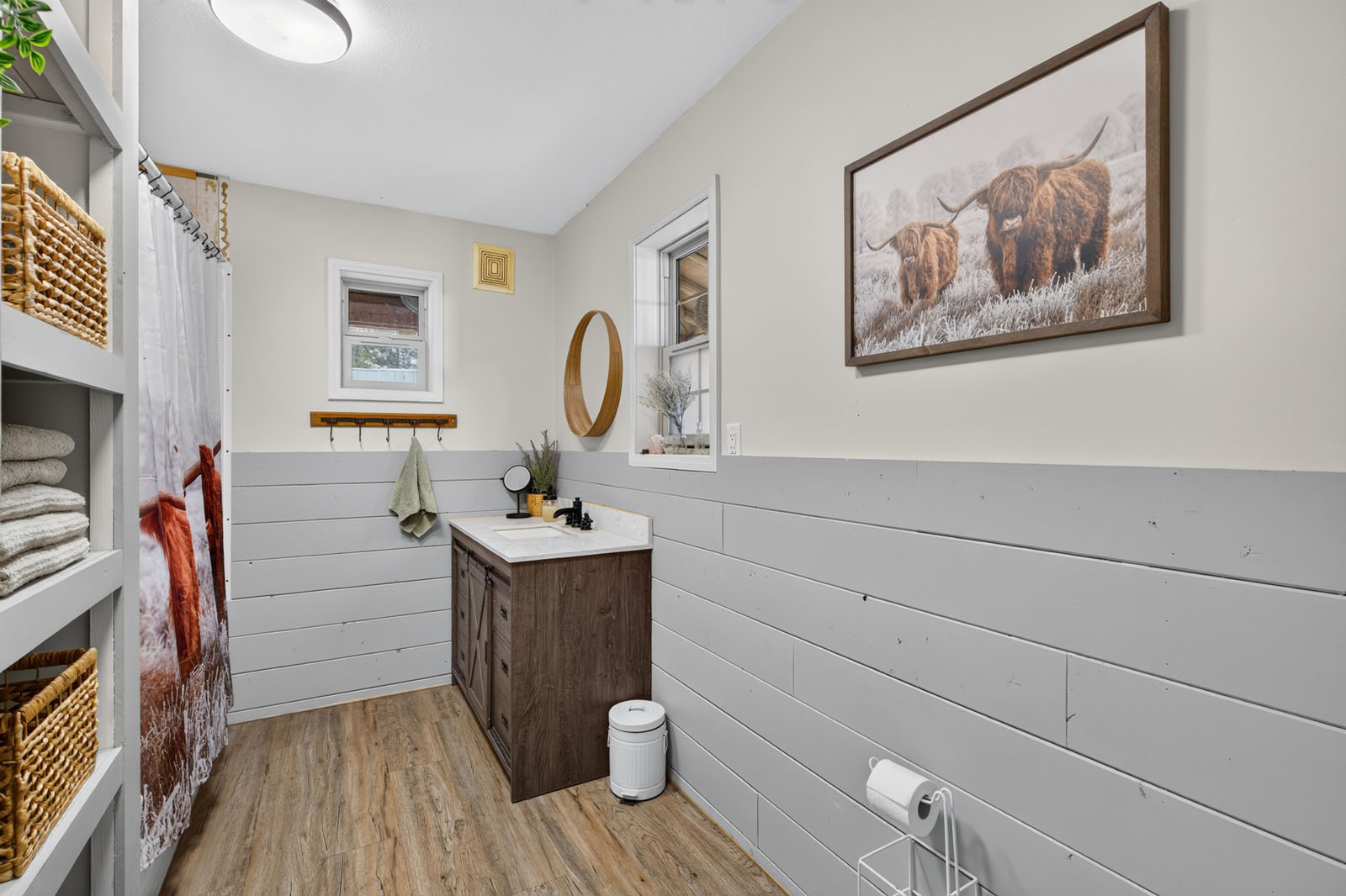
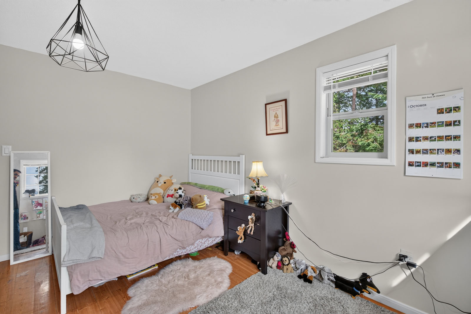
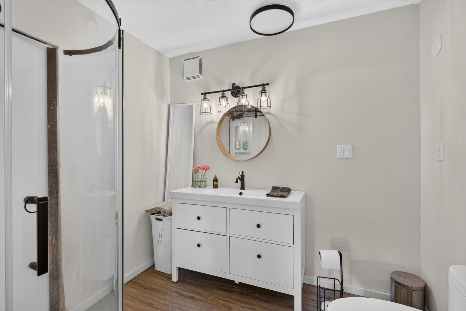
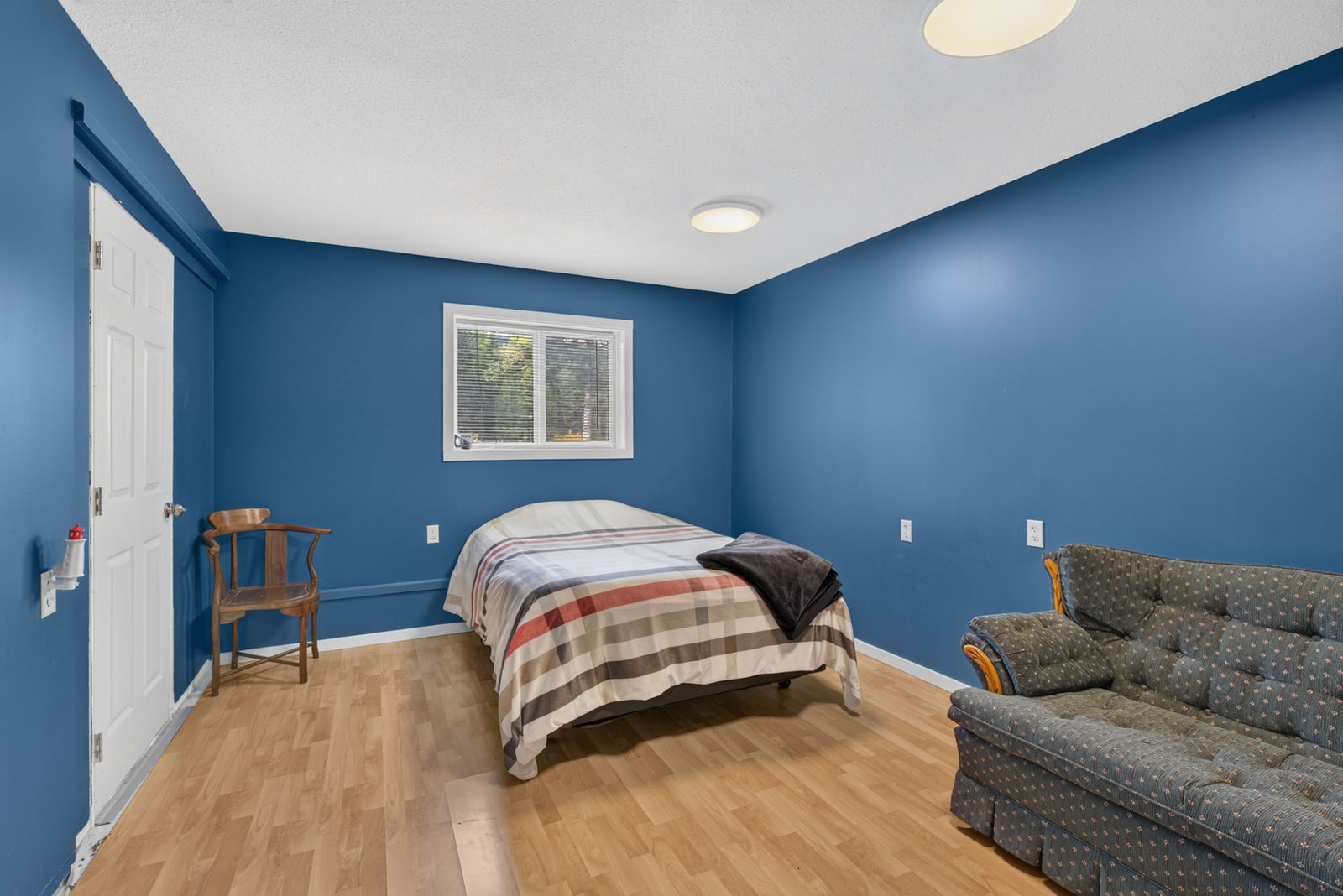
The 2001 home offers about 4,633 sq. ft. over three levels, with five bedrooms and three bathrooms, renovated throughout with an open-concept layout. A chef's kitchen with quartz countertops, premium appliances, a large island and a walk-in pantry opens to the dining and living areas, where a wood stove keeps things cozy on winter evenings. A bright sunroom, a bedroom, a laundry room and a full bathroom complete the main level.
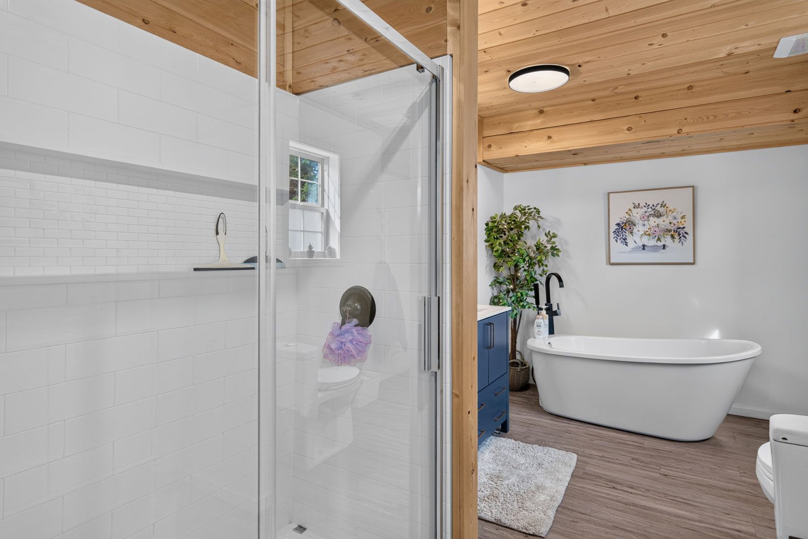
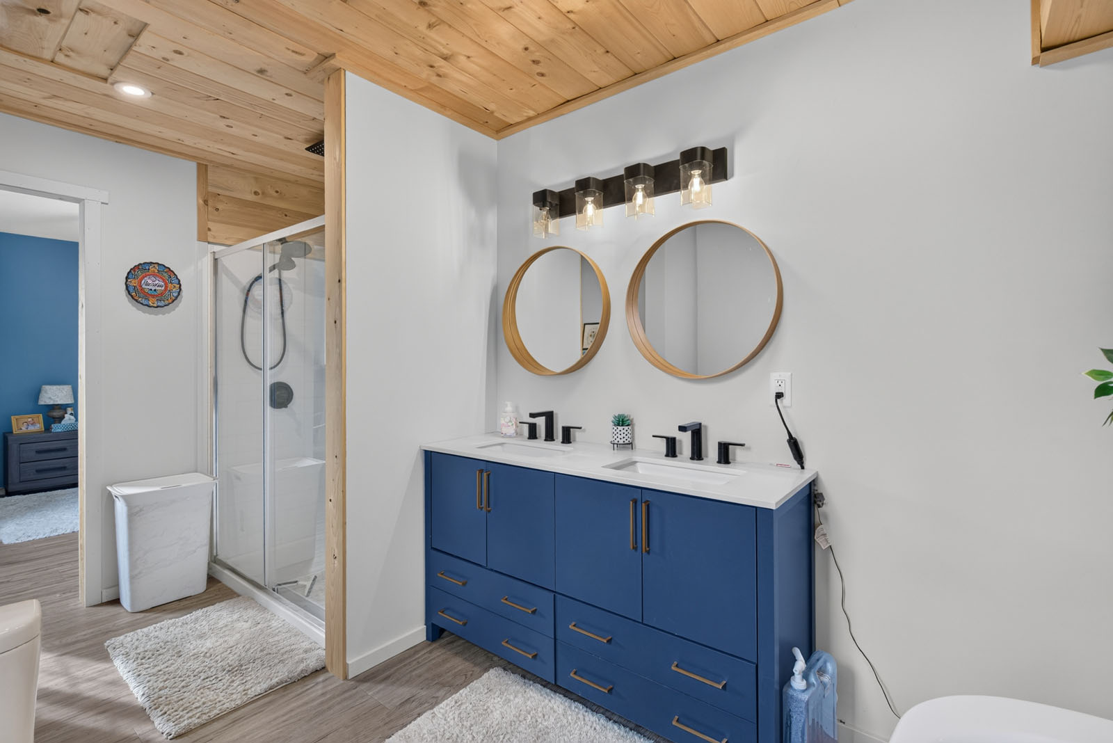
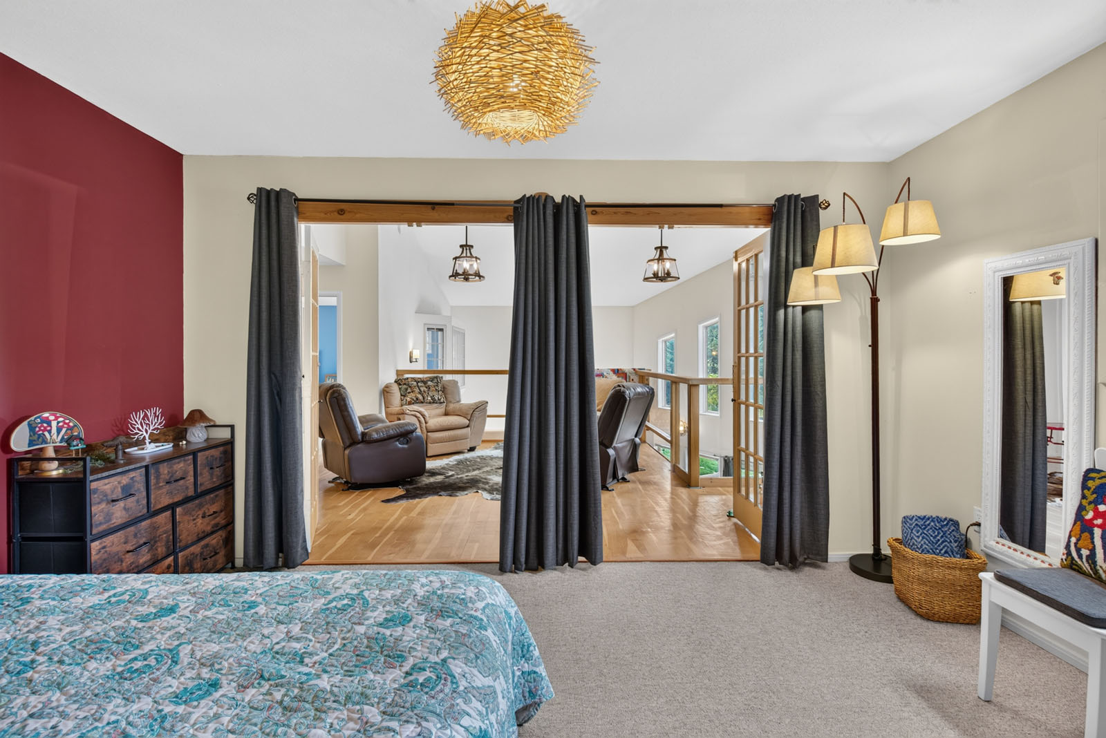
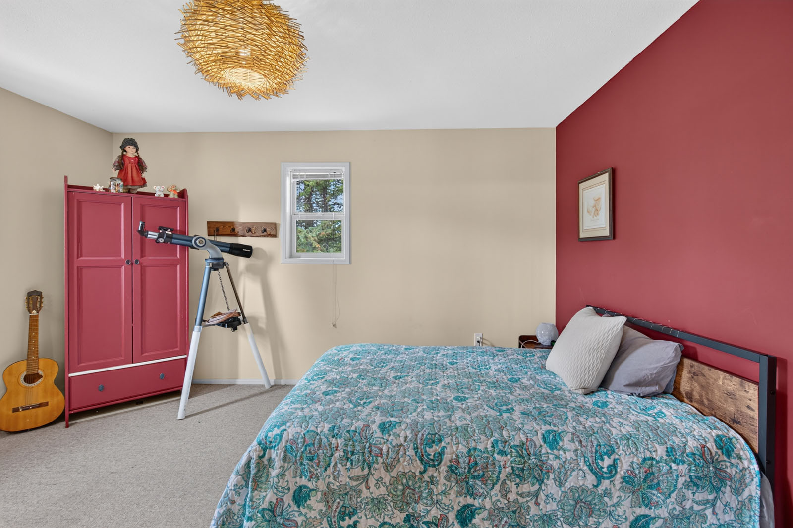
Upstairs, a loft with a glass railing overlooks the living room below. The spacious primary bedroom has a walk-in closet and a spa-style ensuite with a bathtub, a separate shower and a double vanity, and a second bedroom opens through French doors to the loft. A second full bathroom serves the upper floor.
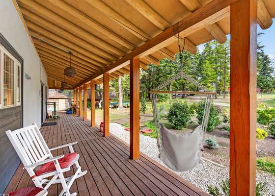
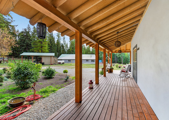
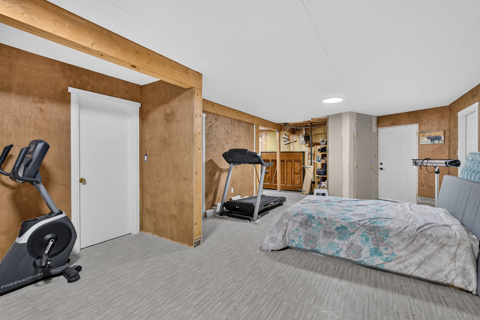
The lower level has two bedrooms and a large open area with rough-in plumbing for a bathroom, giving great potential for a self-contained suite, along with storage and a cold room. Large windows and a big deck look out over the lake, the mountains and the forest, the hot tub on the lower patio stays with the home, and the home is plumbed for in-floor heat.
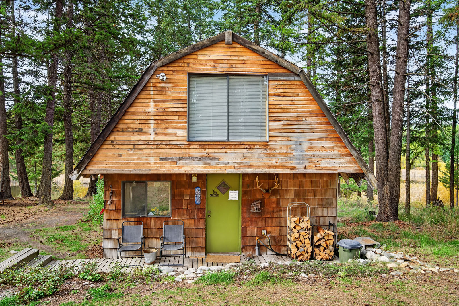
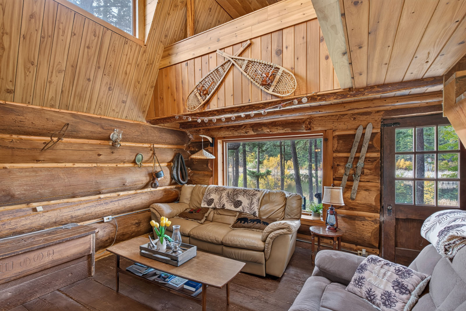
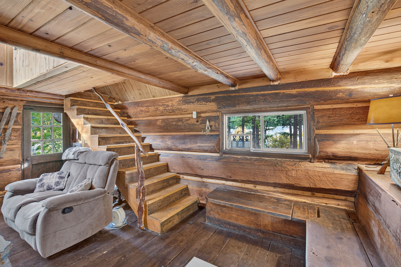
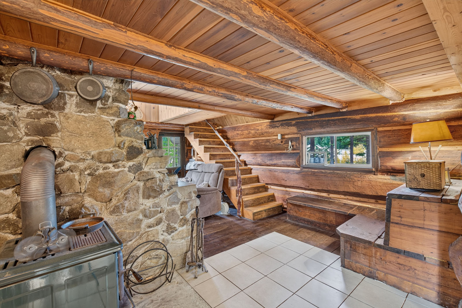
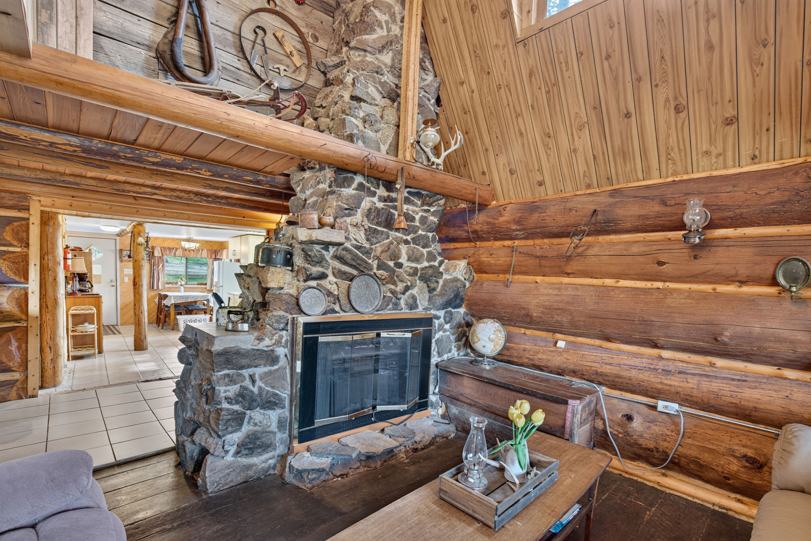
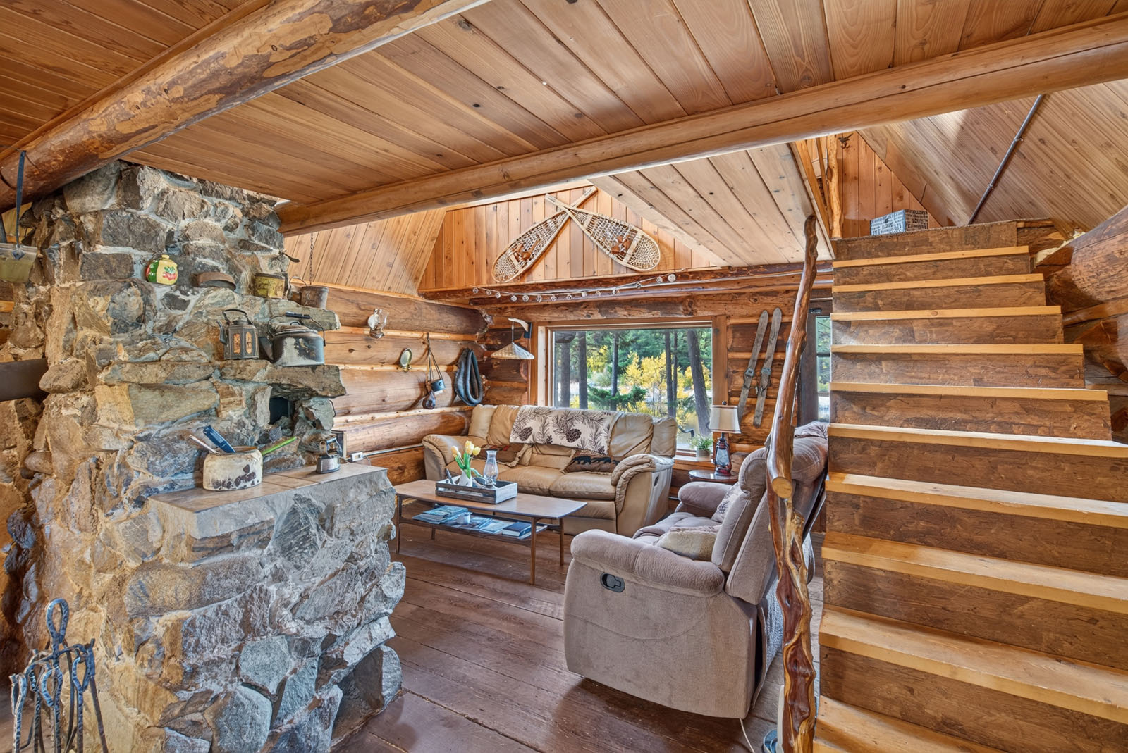
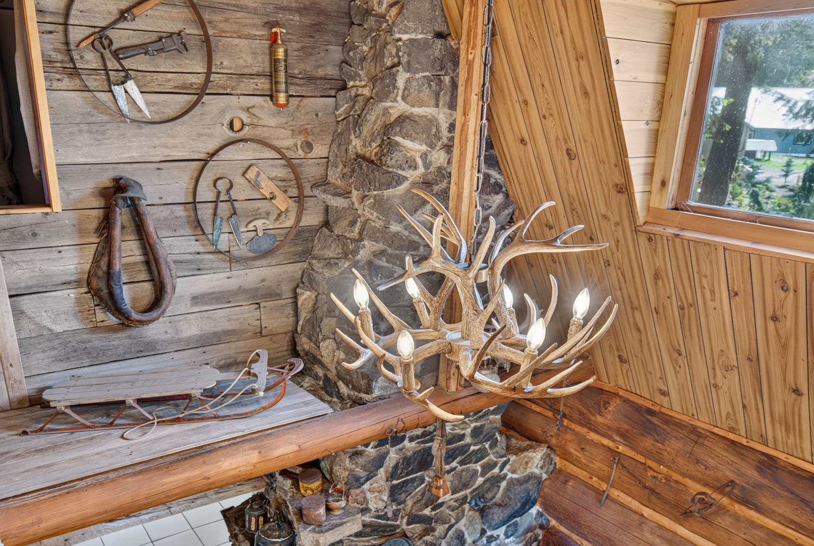
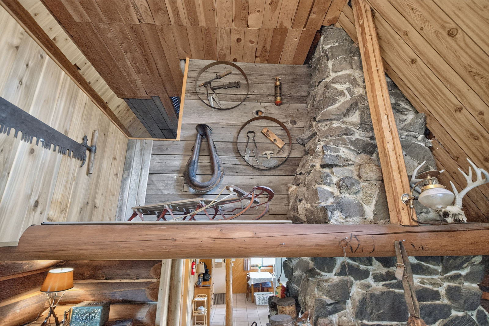
This property is set up to earn. The renovated log guest cabin, with its warm wood interior and stone fireplace, is the main income earner, with a strong following of short-term rentals and private guests. A detached two-bedroom suite in its own building is at lockup stage, framed, plumbed and wired, and the materials to finish the interior are already on site, ready to go. Once finished it makes another rental or a home for extended family. With 267 acres to work with, there is plenty of room for more guest cabins, glamping sites or a small seasonal campground tucked along the lake and the trails, and the timber on site can supply the lumber to build them.
A barn, an equipment shed, a greenhouse and several more outbuildings and sheds support the farm and the garden. Tractors, a haying line, a sawmill and woodworking tools are available for purchase.
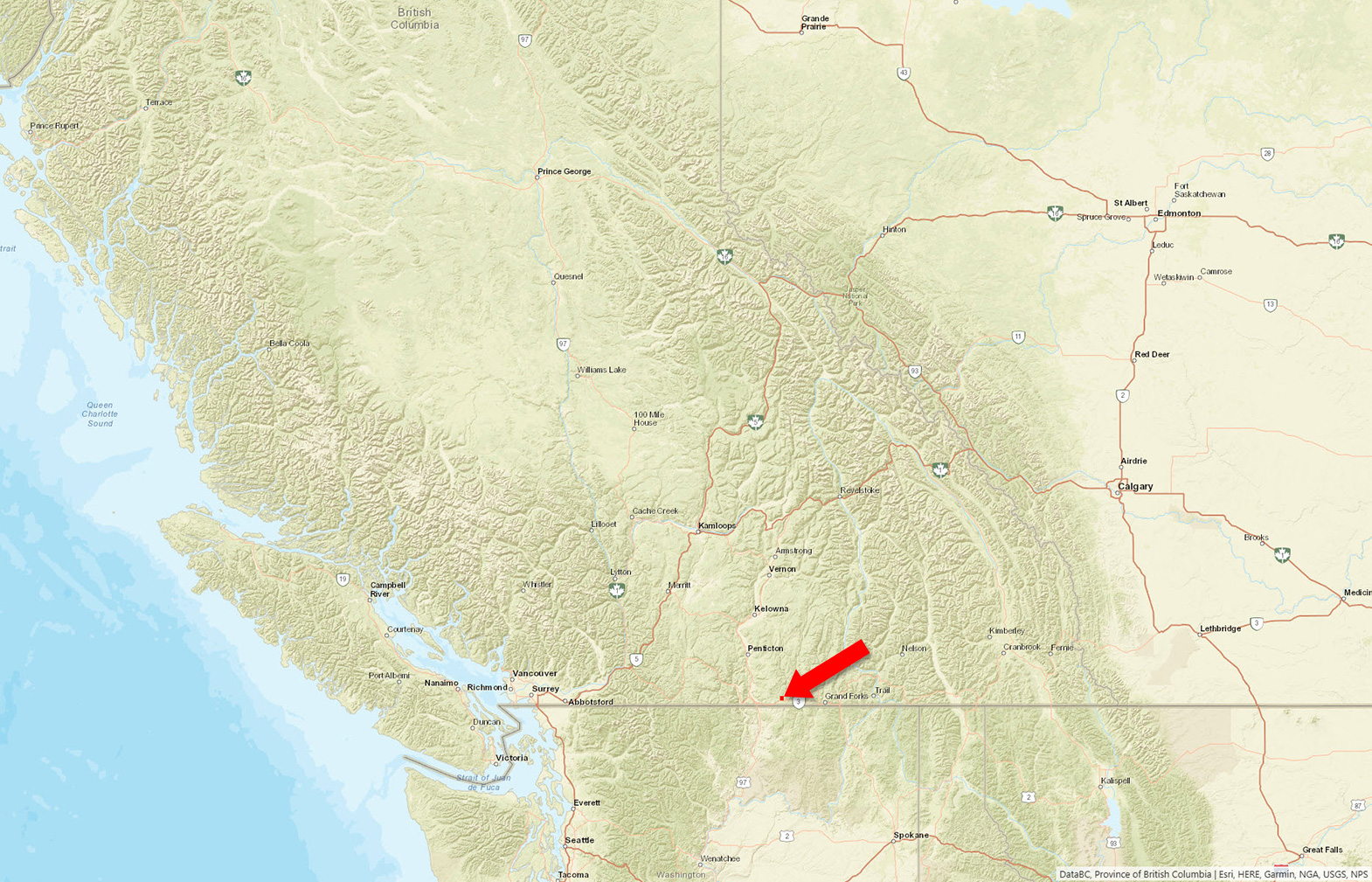
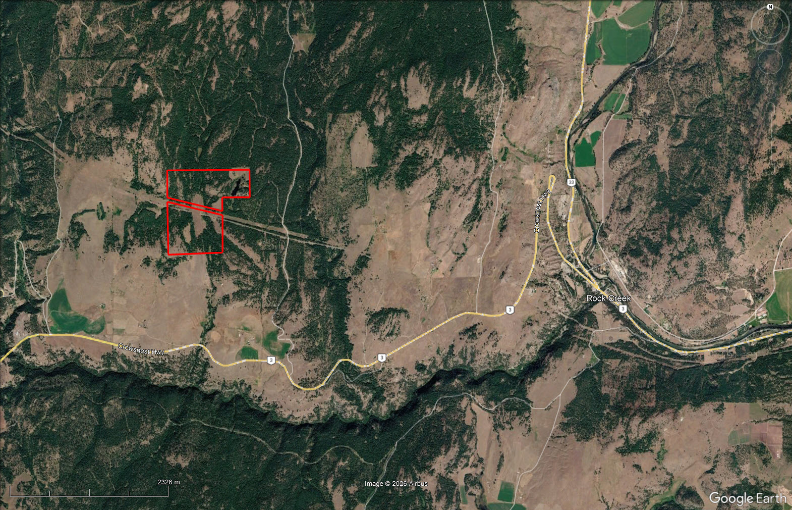
1770 Johnstone Creek Road West - Rock Creek, BC
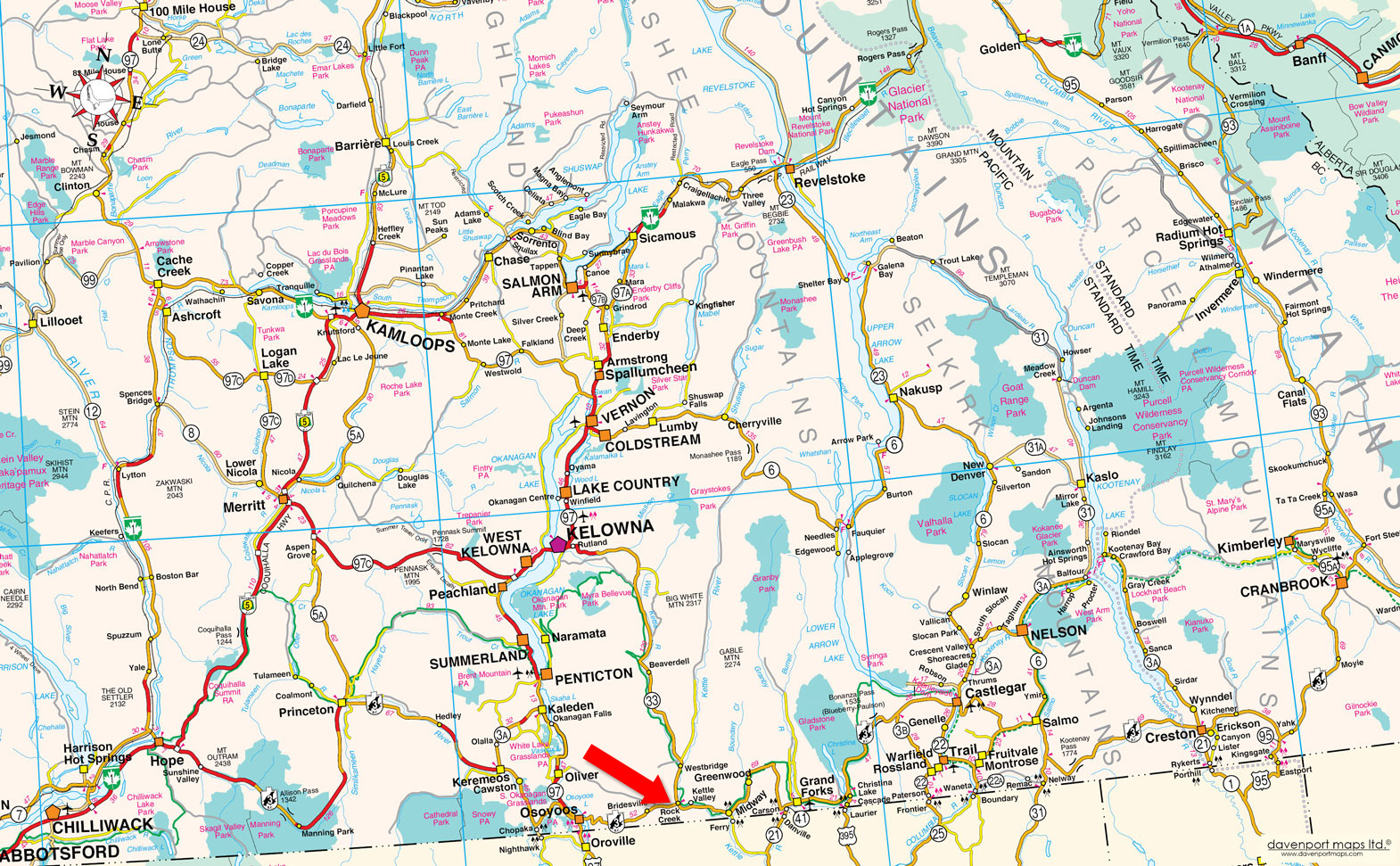
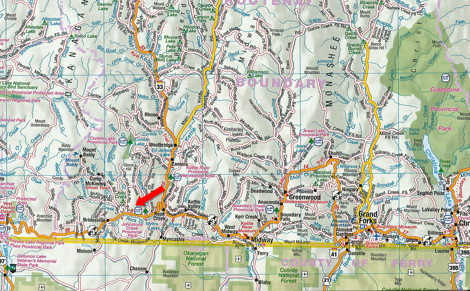
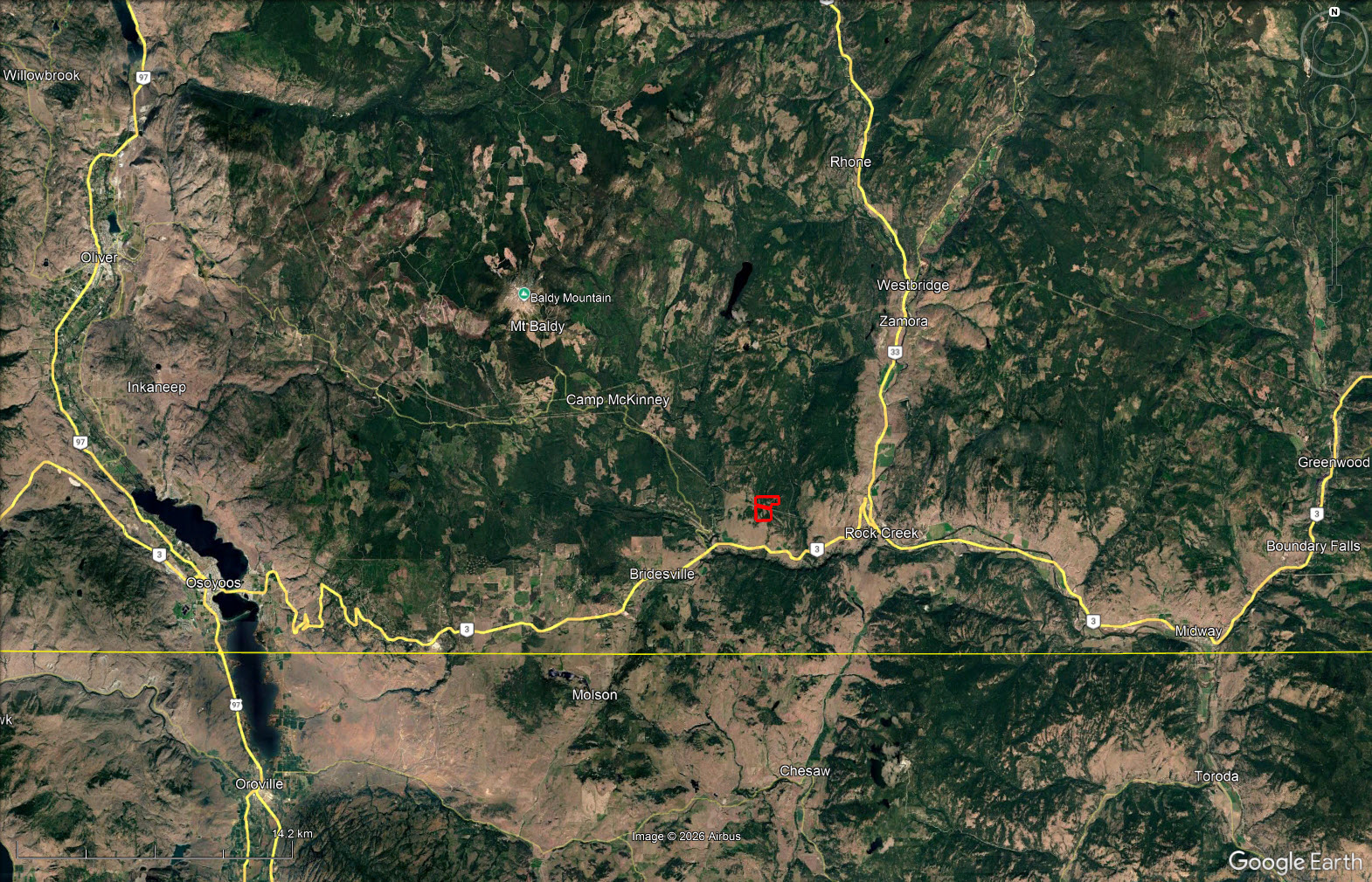
From Rock Creek, head west on Highway 3 and turn onto Johnstone Creek Road West. The property is about 11.6 km (14 minutes) from Rock Creek, on the left side of the road.
Rock Creek is home to a few hundred residents and sits where Rock Creek meets the Kettle River, at the junction of Highway 3 and Highway 33. It is the hub of the West Boundary, a sunny, dry corner of southern British Columbia with warm summers, mild winters and long growing seasons. Highway 3, the Crowsnest, runs west to Osoyoos and the Okanagan and east to Greenwood and Grand Forks, and Highway 33 follows the Kettle River north through Westbridge and Beaverdell to Kelowna.
The village has gas, a general store, cafés, a campground and the historic Rock Creek Hotel and pub, plus the Kettle Valley Golf Club and the Kettle Wildlife Hall, which hosts a growing calendar of community events. For bigger shopping, the hospital, schools and services, Osoyoos is under an hour west and Grand Forks is east along the highway. Penticton and Kelowna, with Kelowna International Airport, are an easy day trip.
The highlight of the local year is the Rock Creek and Boundary Fall Fair, held each September since 1915 (with a break during the war years). More than 14,000 visitors come for the livestock shows, the horse events, the rodeo and the celebration of the area's farming roots. The fairgrounds also host other events through the summer, and the fair raises money for community groups across the West Boundary.
The wider region is full of small, friendly communities. Bridesville sits on the high grasslands to the west, Westbridge and Christian Valley follow the Kettle River north, and Midway and Greenwood, the smallest city in Canada, lie to the east with their heritage main streets. Across the line, Molson and the Okanogan country of Washington State are close by. Farming, ranching, forestry and tourism keep the local economy going.
The Rock Creek area sits where the dry Okanagan grasslands meet the forested Monashee foothills, so the landscape changes quickly with elevation. Along the Kettle River and on the lower slopes, open stands of ponderosa pine mix with bunchgrass meadows of bluebunch wheatgrass and rough fescue, along with sagebrush, saskatoon and wild rose. These dry ponderosa pine and bunchgrass communities are rare in the province, and the nearby Kettle River Recreation Area protects them. Higher up, interior Douglas-fir and western larch take over, mixed with spruce, lodgepole pine and birch, and at the summits around Mount Baldy the forest turns to subalpine fir and Engelmann spruce.
Creeks and lakeshores are lined with black cottonwood, aspen, willow and red-osier dogwood. The old-growth cottonwood along the Kettle River is another protected plant community. These moist corridors are winter range for deer and full of cavity-nesting birds such as woodpeckers and bluebirds, along with songbirds, waterfowl and the elk, moose and black bears that move down the valleys.
Spring brings arrowleaf balsamroot, lupine, bitterroot and shooting stars to the hillsides. Summer meadows fill with wildflowers at higher elevations. In fall, the western larch turns gold across the hillsides, one of the most striking shows of colour in the Southern Interior.
Water is never far away. Conkle Lake Provincial Park, reached by Johnstone Creek Road, has a sandy beach, a dock, a small-boat launch, waterfalls and stocked rainbow trout. Johnstone Creek Provincial Park, just off Highway 3 west of Rock Creek, has a quiet forested campground with a nature loop and a lookout trail. The Kettle River Recreation Area, five kilometres north of Rock Creek, is a local favourite for swimming, tubing, canoeing and camping.
The Trans Canada Trail follows the old Kettle Valley Railway bed along the Kettle River, connecting Rock Creek with Westbridge, Midway and beyond. Its gentle grade makes it ideal for cycling, walking and horseback riding, and in winter for cross-country skiing and snowshoeing. Cyclists come from around the world to ride it.
The surrounding Crown land opens up hunting for mule and white-tailed deer, elk, moose, black bear and grouse, plus backcountry roads for quadding, sledding and exploring. The Kettle River and nearby lakes offer good fishing, and the open country is excellent for birdwatching and wildlife photography.
In winter, Mount Baldy Ski Area is a short drive up the mountain from Highway 3 west of Rock Creek. It is a friendly, family-run hill with a summit elevation above 2,100 metres, deep dry powder from more than six metres of annual snowfall, a mix of groomed runs and glades, and a growing village of ski cabins. The Kettle Valley Golf Club is close to home, and the wineries, beaches and golf courses of Osoyoos and the South Okanagan are under an hour away.
The Kettle River valley has been travelled and used by the Okanagan (Syilx) people for thousands of years, and the river was an important route between the Okanagan and the Columbia country.
In 1859, gold was found where Rock Creek meets the Kettle River, and the Rock Creek Gold Rush drew an estimated 5,000 miners, mostly from the United States, within a year. A log town of stores and saloons grew up, the first community in the Boundary. Unrest in the camp brought Governor James Douglas himself to Rock Creek in 1860. He appointed William George Cox as gold commissioner and set up one of the first customs posts in the colony, and the episode pushed the colony to build the Dewdney Trail to tie the southern Interior to the coast. The boom faded quickly as miners moved on to new strikes, but Rock Creek stayed on as a ranching and supply centre.
The Rock Creek Hotel, run by the Madge family from 1898, is one of the oldest operating hotels in British Columbia. Railways followed. The Vancouver, Victoria and Eastern line passed to the south in 1905, and the Kettle Valley Railway reached Rock Creek in 1911 and carried passengers until 1964. The rail bed is now the Trans Canada Trail.
To the west, Bridesville grew up around a hotel built by David McBride, from whom it takes its name, and the high benches along Highway 3 and Johnstone Creek were settled by ranching and farming families who cleared hayfields and ran cattle on the surrounding range. The Rock Creek Fall Fair, first held in 1915, still celebrates that farming heritage every September.
49° 4'9.03"N and 119° 4'41.06"W
$3,987.01 (2026)
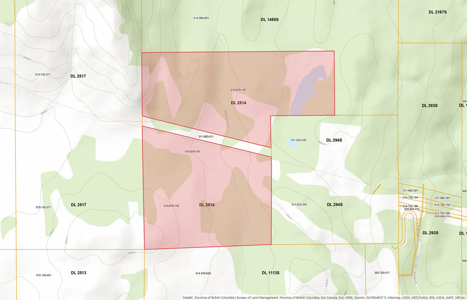
No zoning. Partly within the Agricultural Land Reserve.
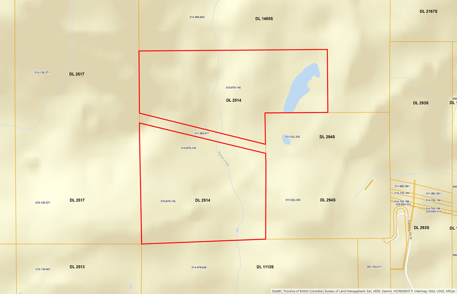
District Lot 2514, Similkameen Division Yale District, Except Plan A1042
PID 010-879-145
 +8 maps
Our property descriptions and geographical information are taken from the BC Assessment Authority, Land Titles Office, government maps and other sources. While LandQuest® does not guarantee the information, we believe it to be accurate, but should not be relied upon without verification. This communication is not intended to cause or induce breach of an existing agency agreement.
Rock Creek
 8℃
0℃