


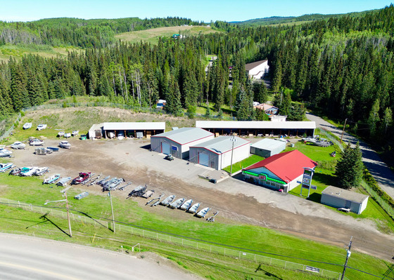
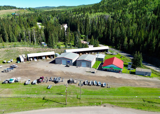
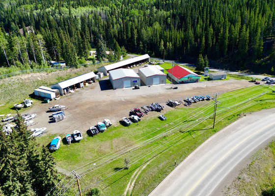
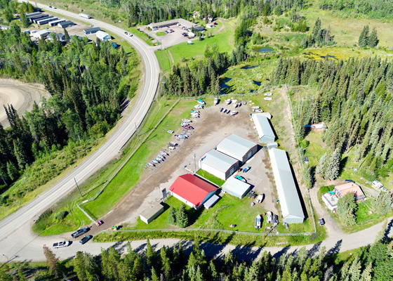
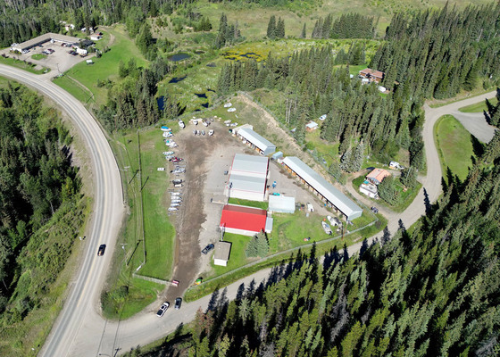
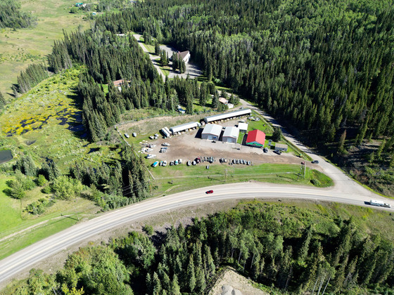
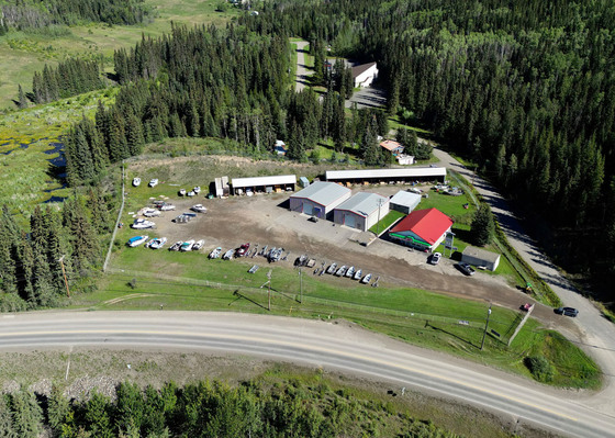
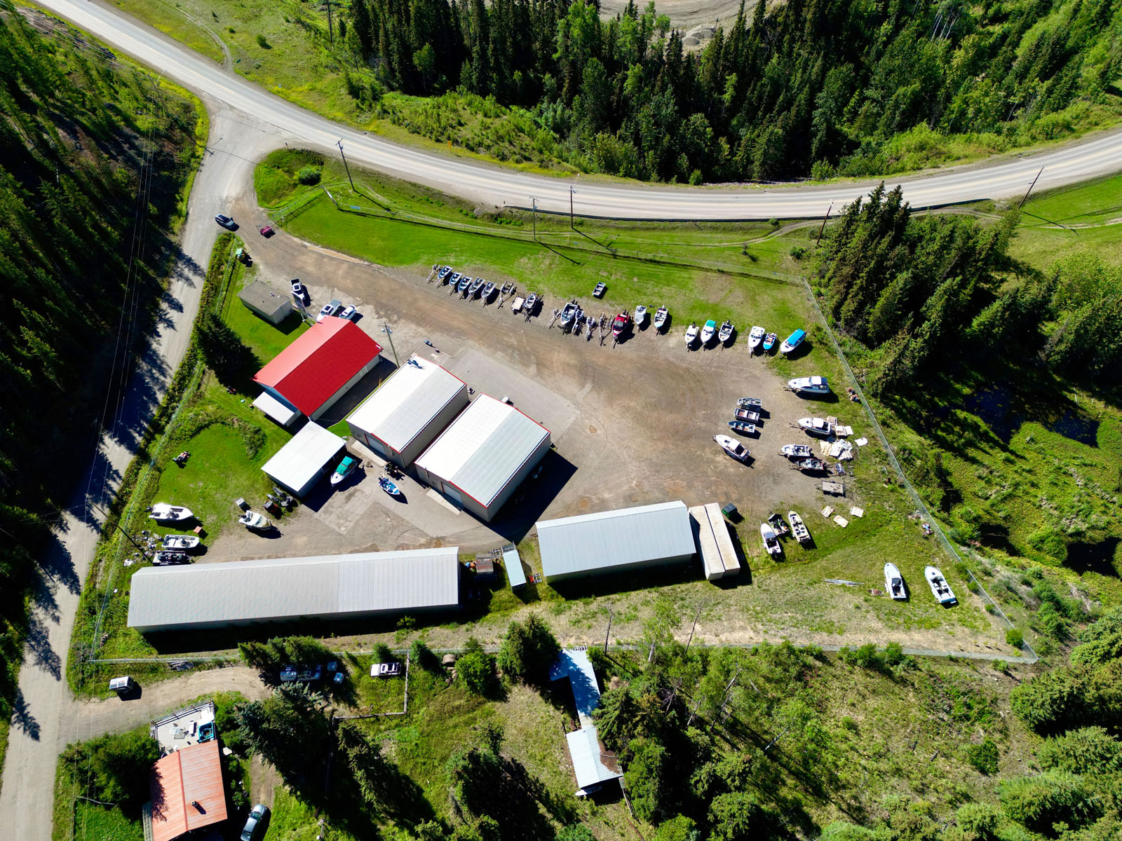
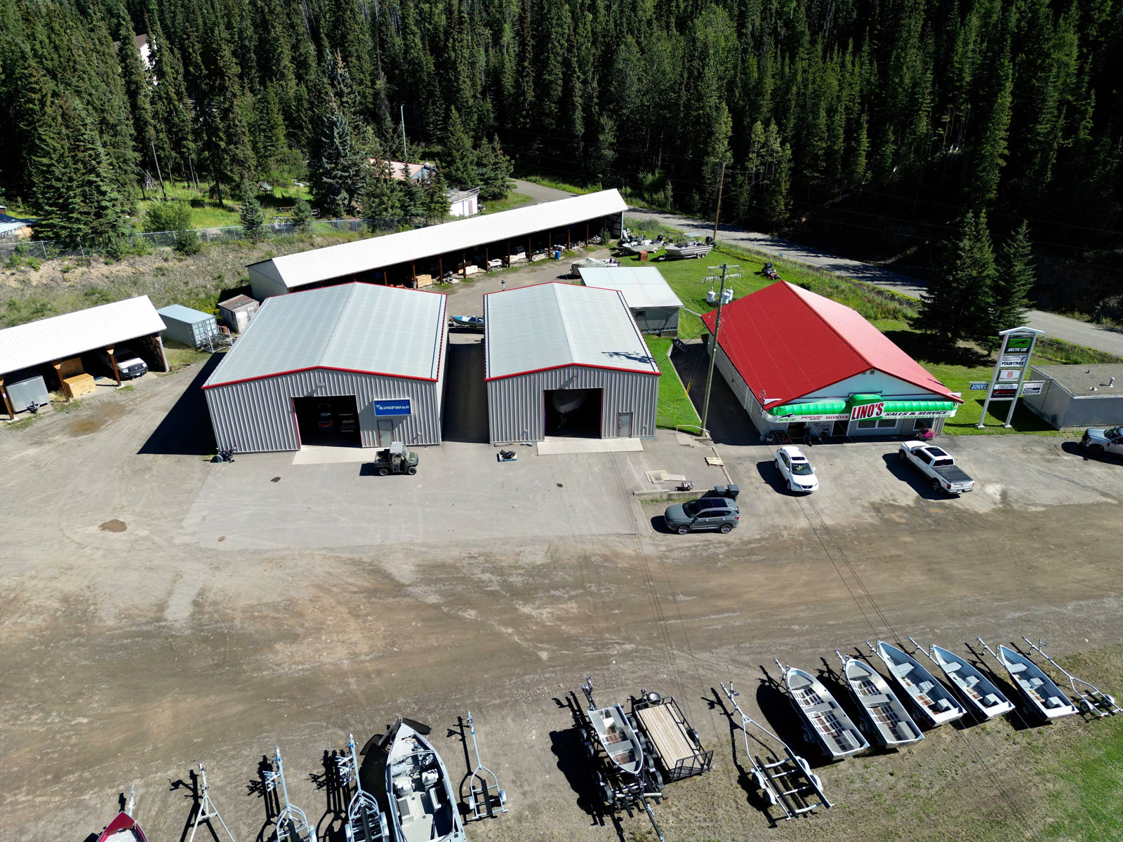
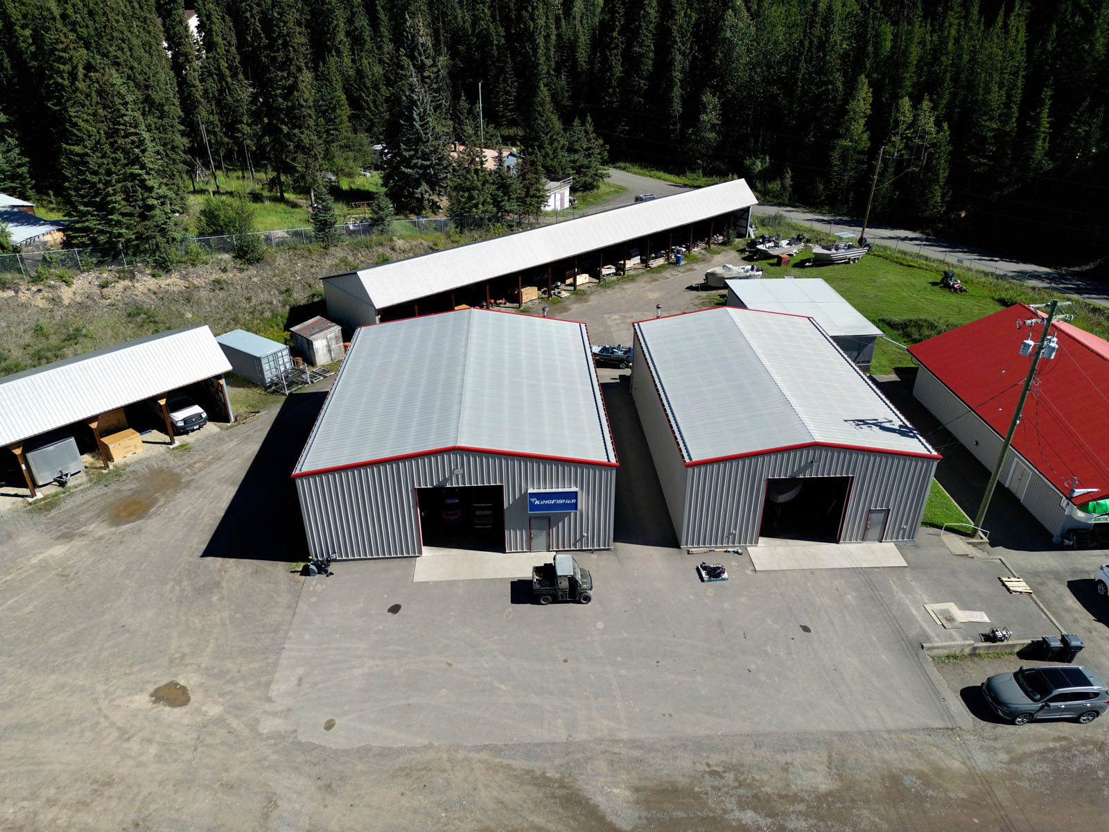
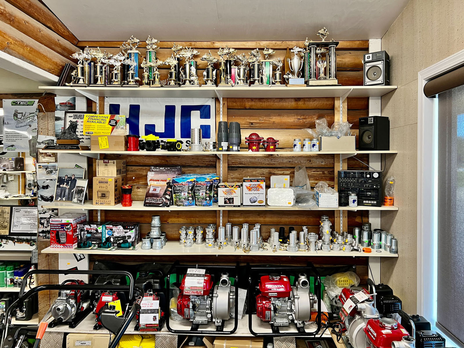
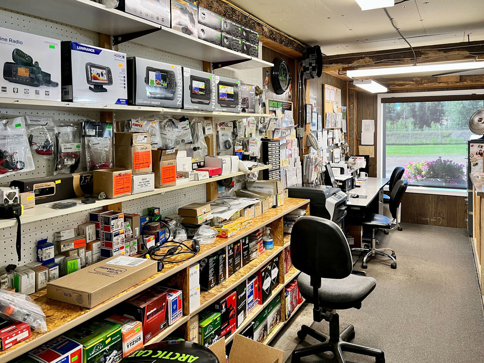
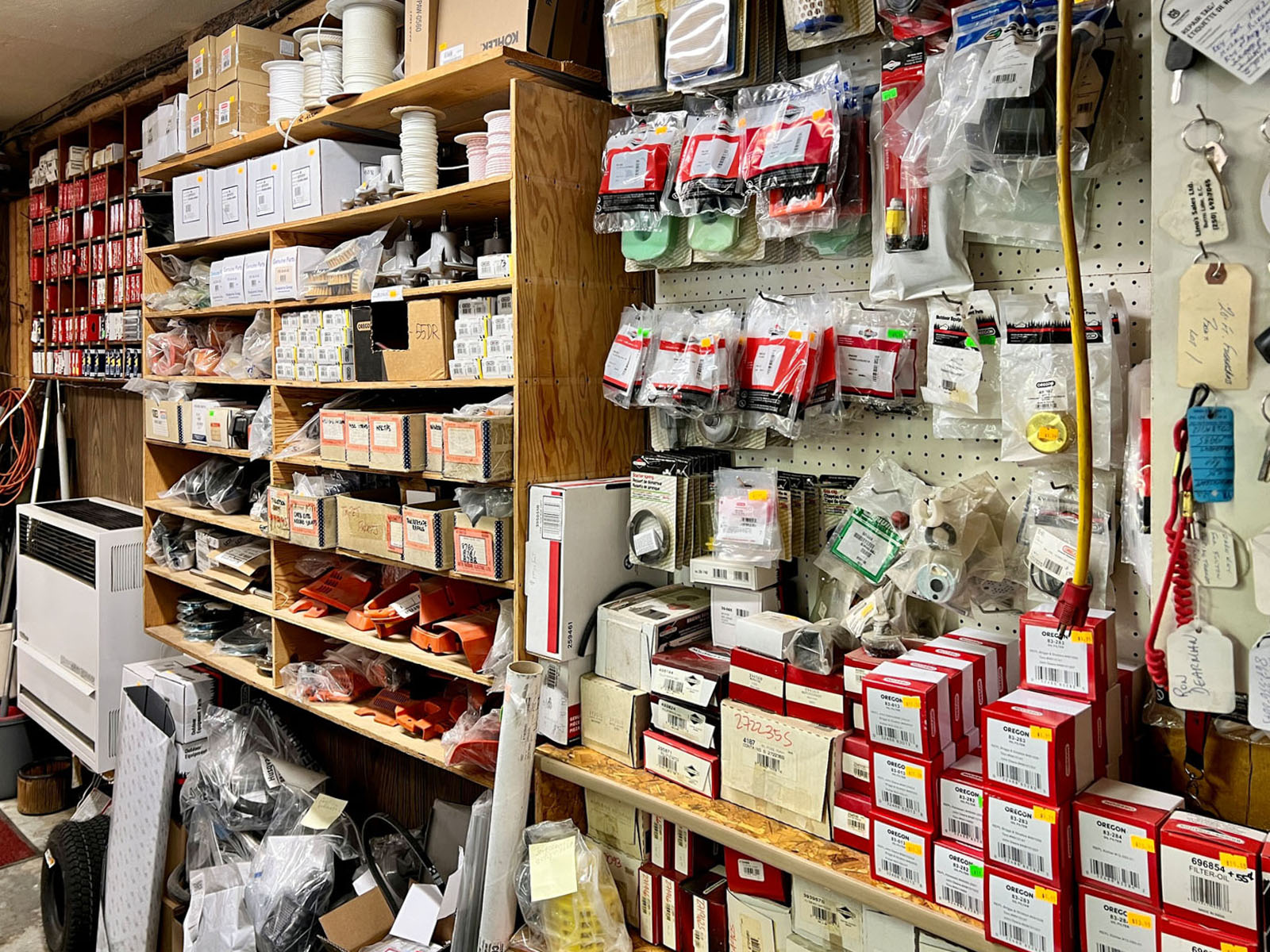
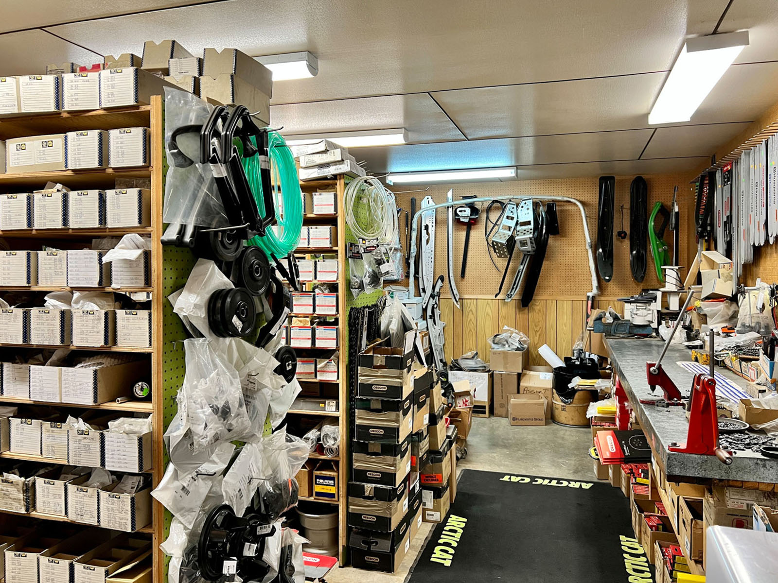
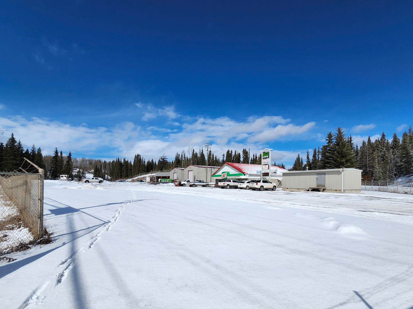
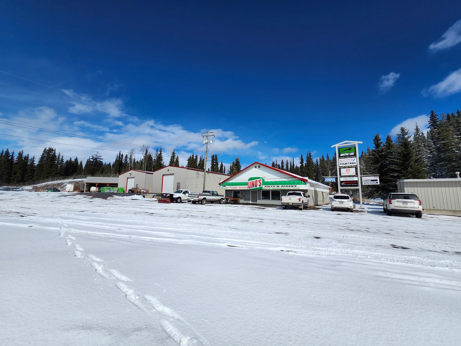
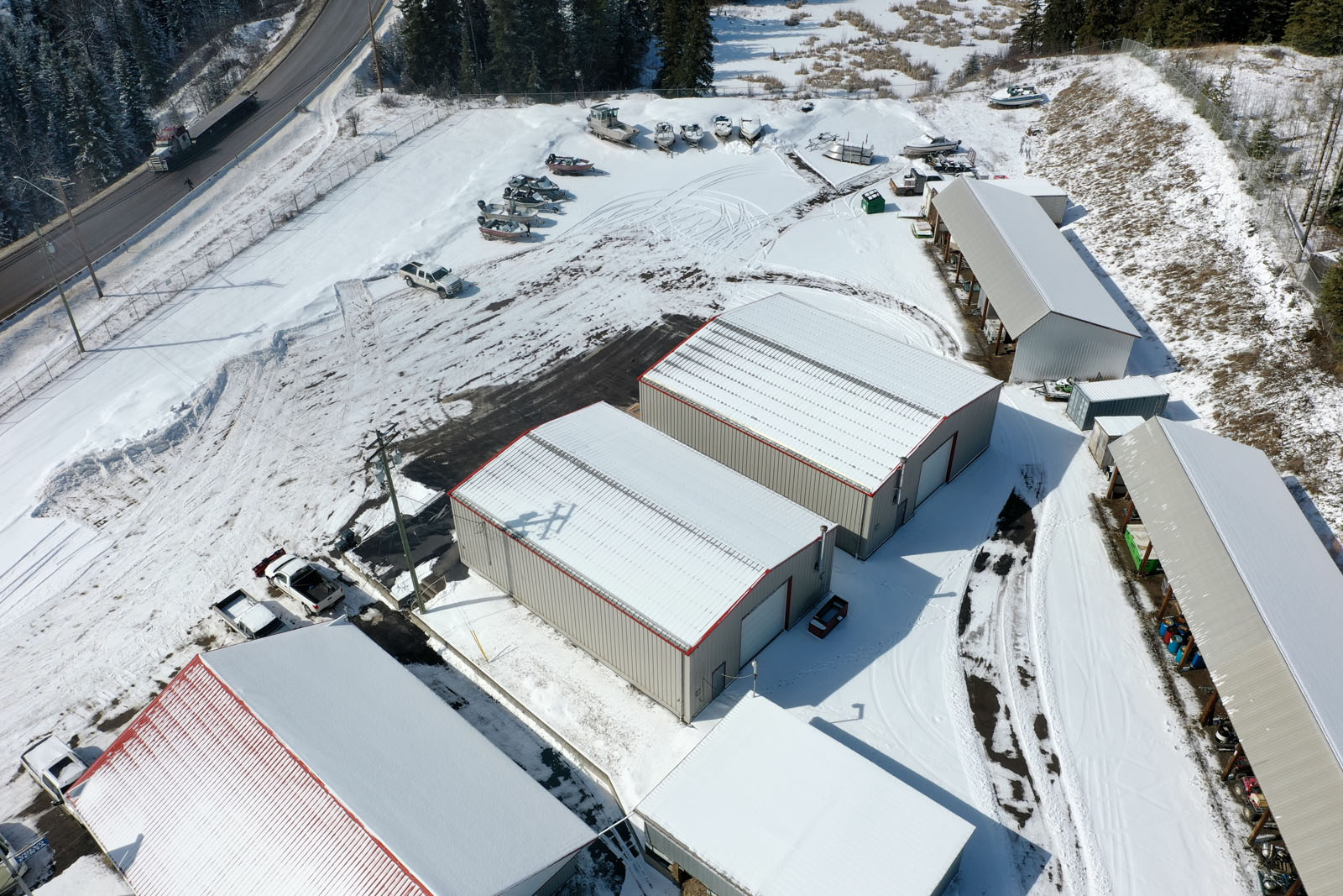
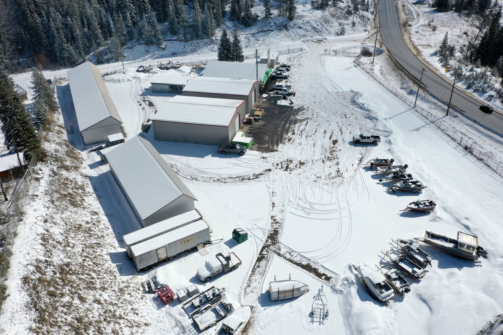
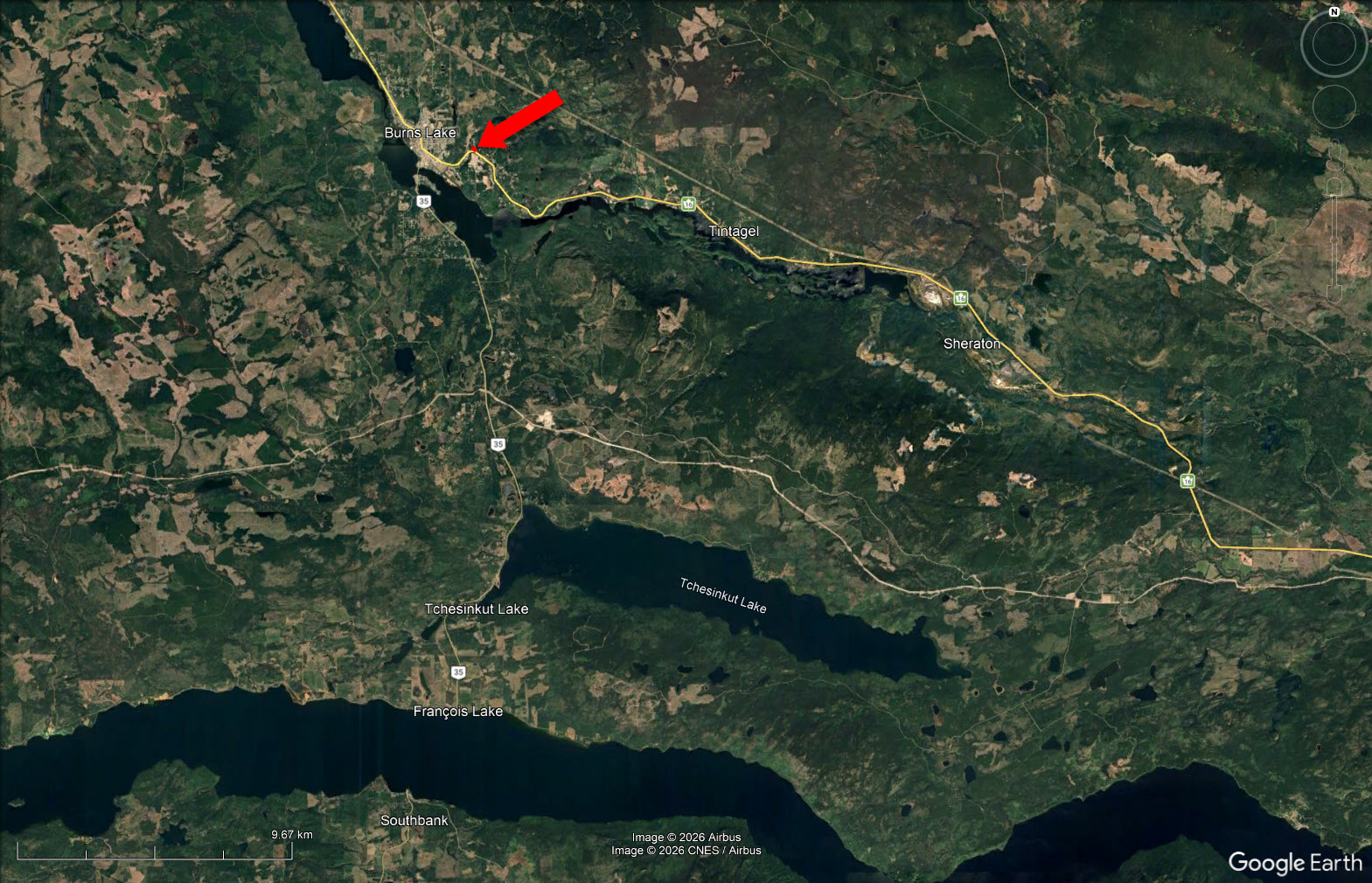
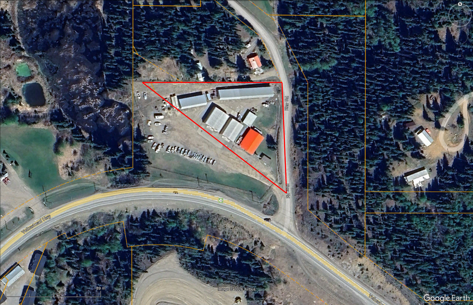
Fully-fenced 1.7-acre Light Industrial property on Highway 16. 16,800+ sq. ft. workshop and retail space with excellent highway visibility and high daily traffic exposure. Improvements include a repair shop, storage building, 2 large covered storage structures and a 2,691 sq. ft. retail store.
 +63 photos
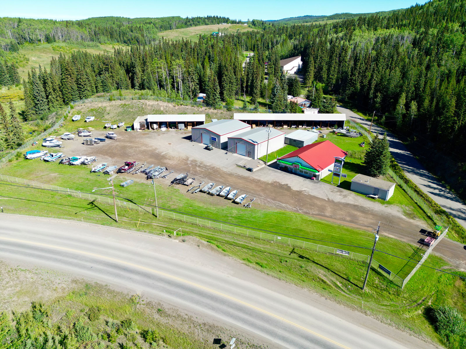
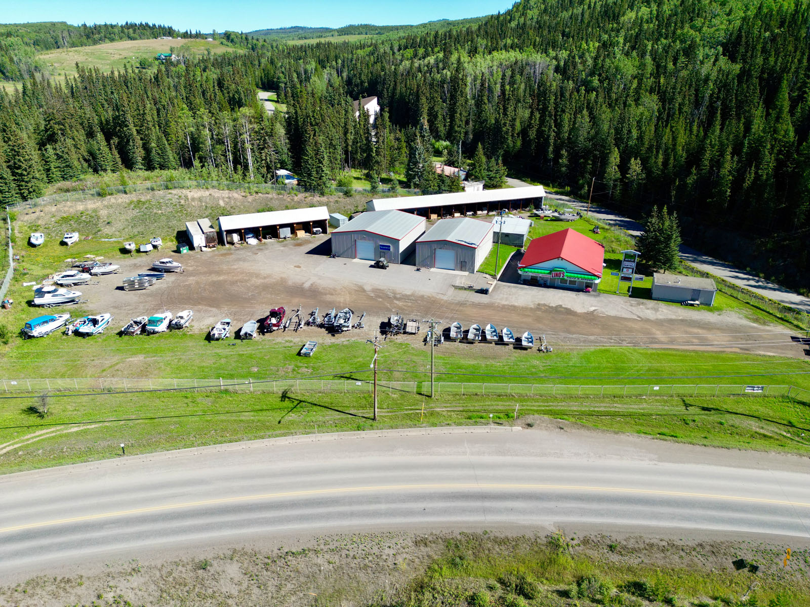
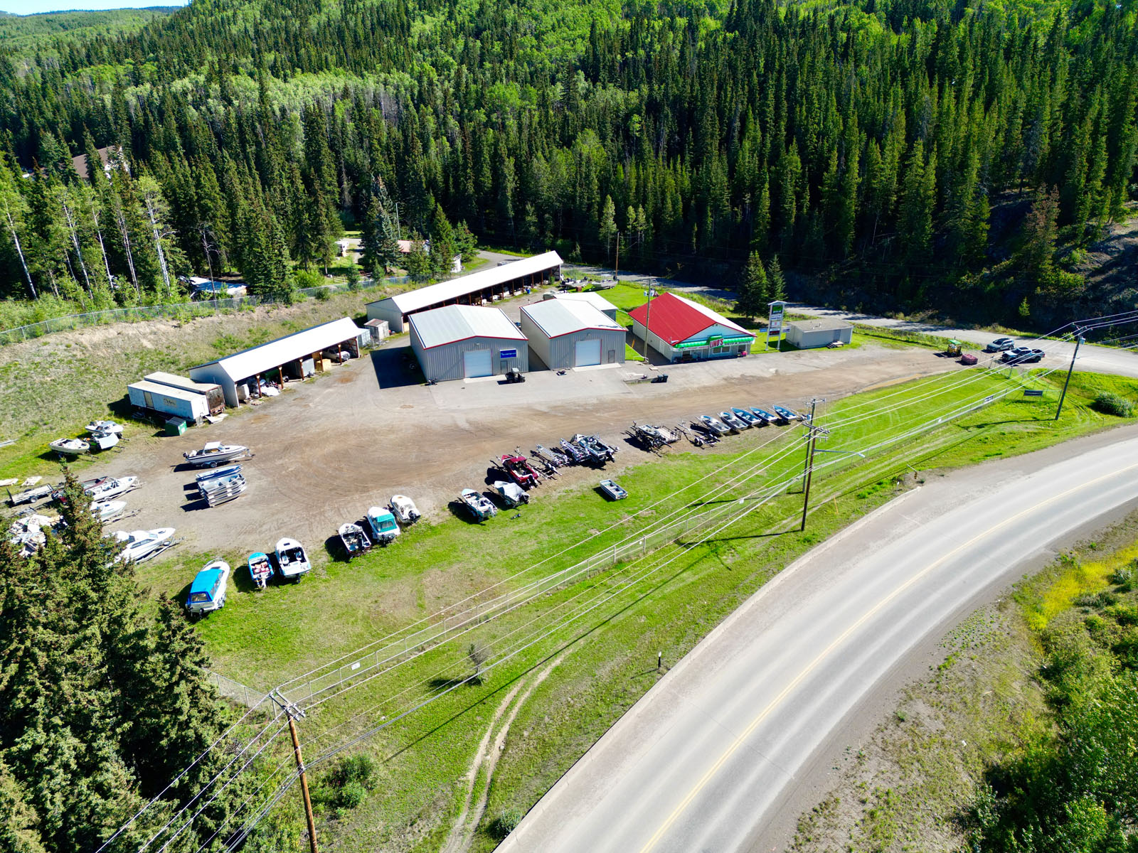
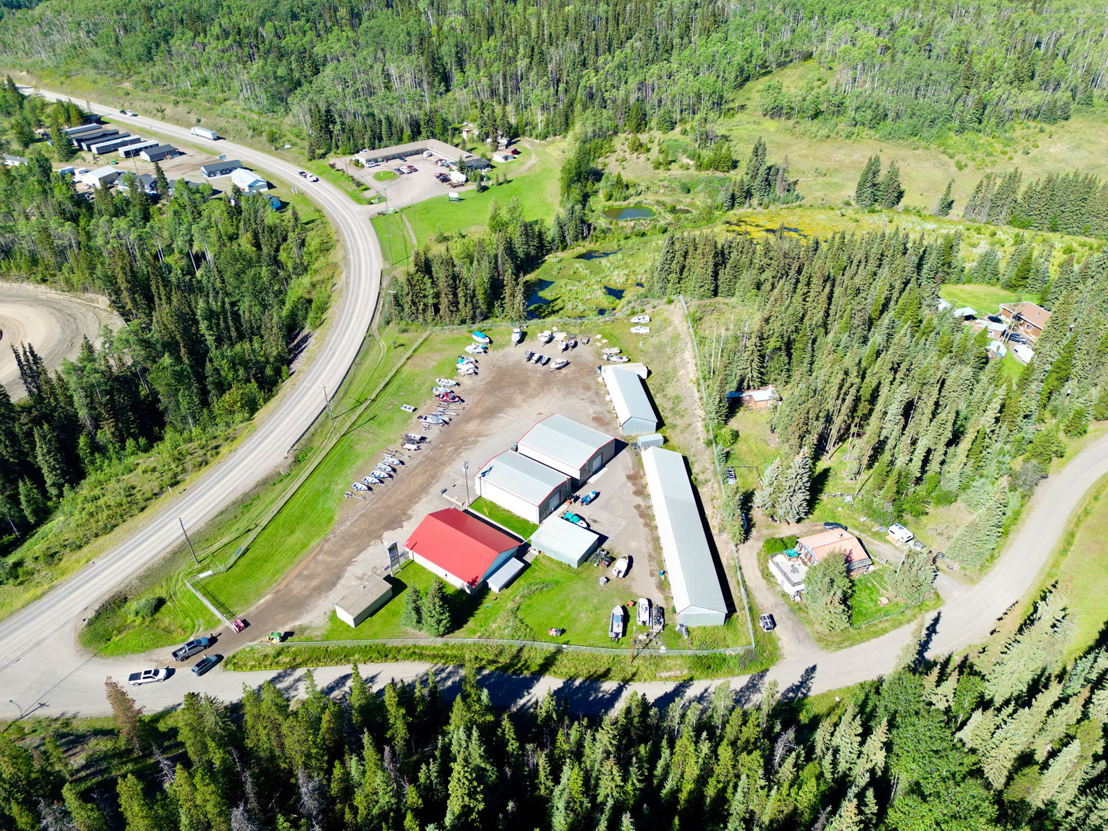
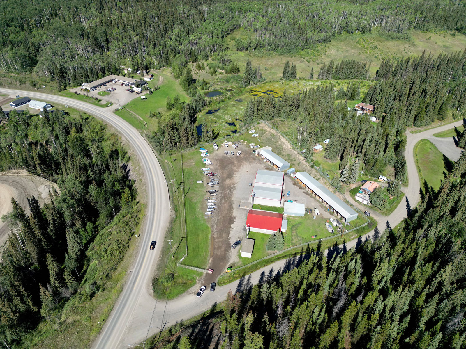
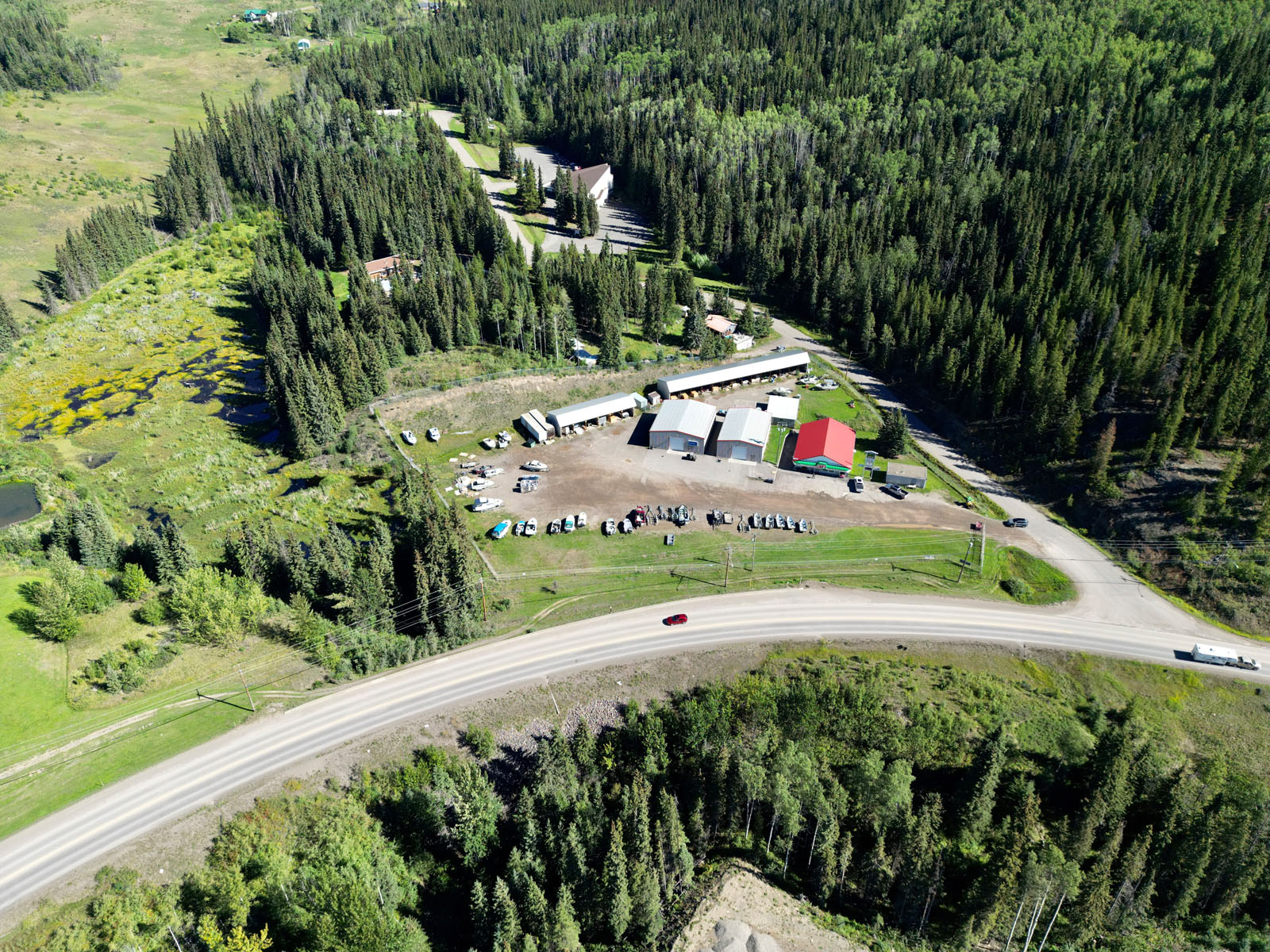
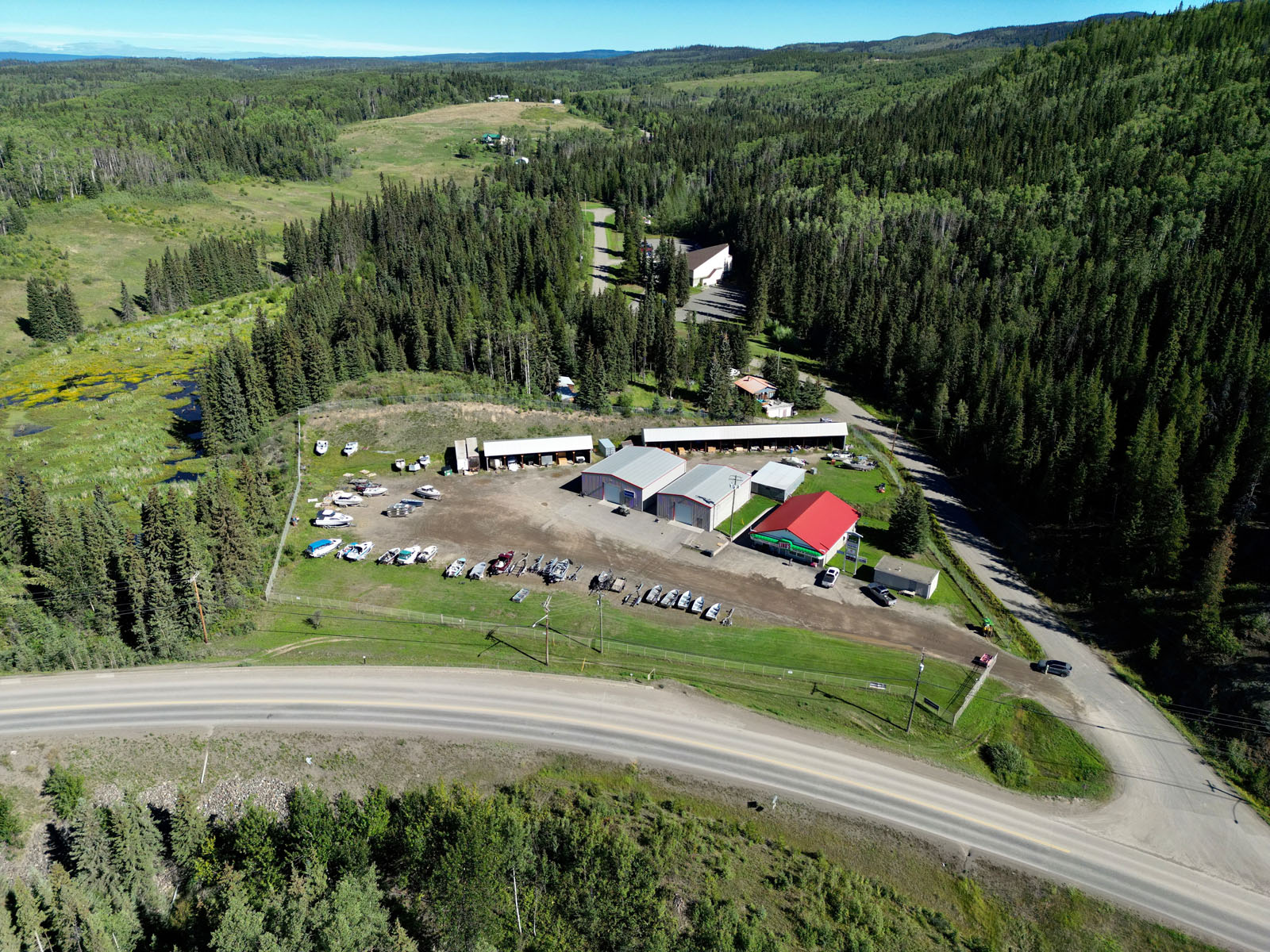
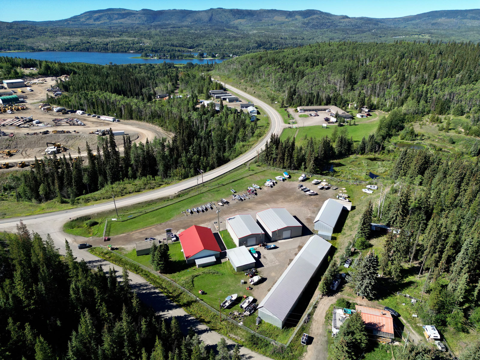
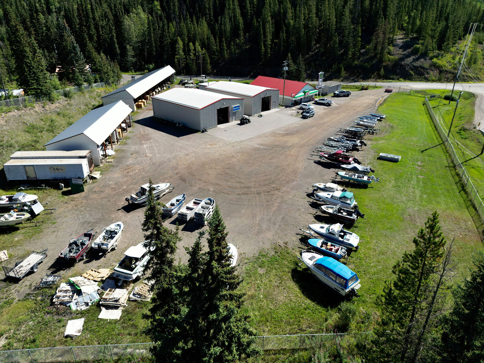
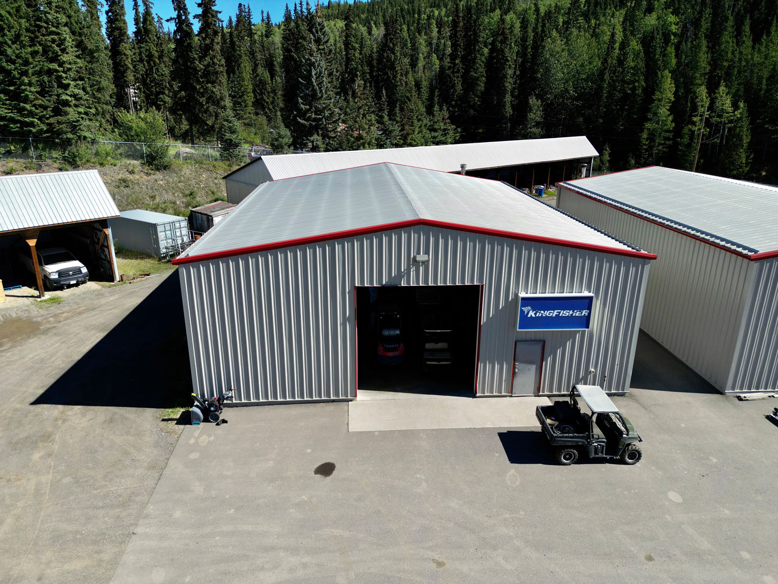
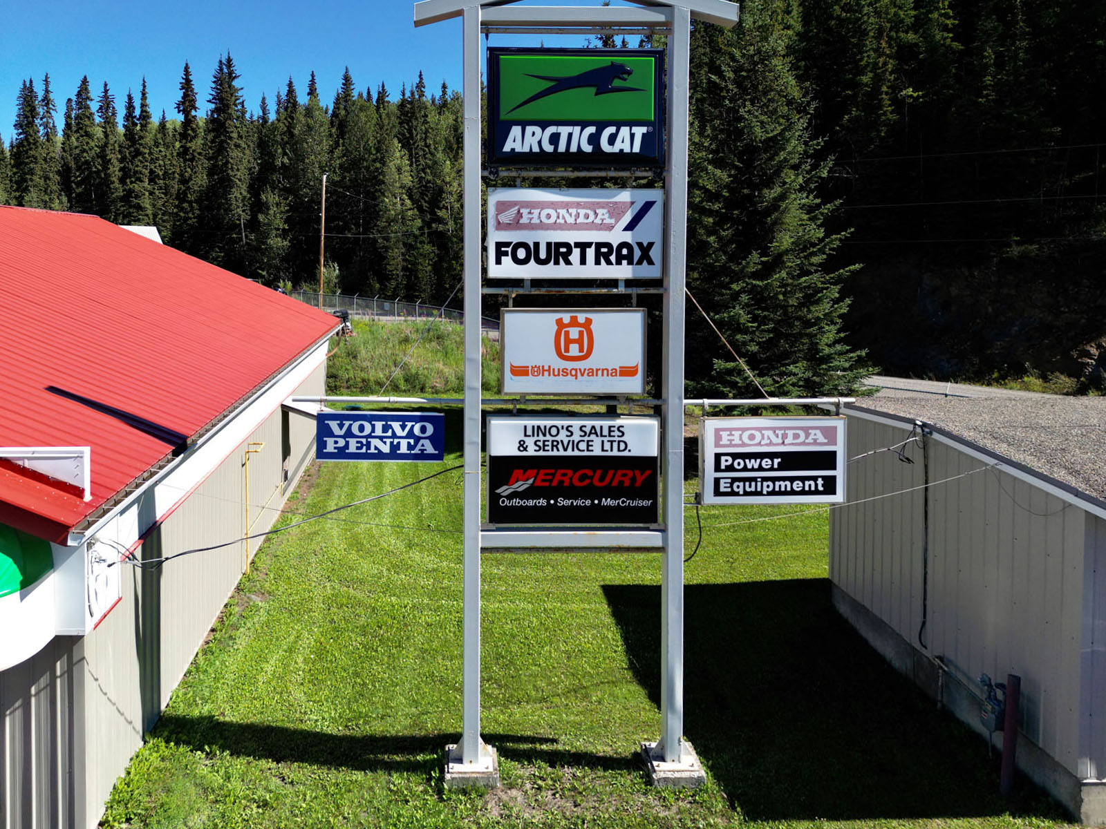
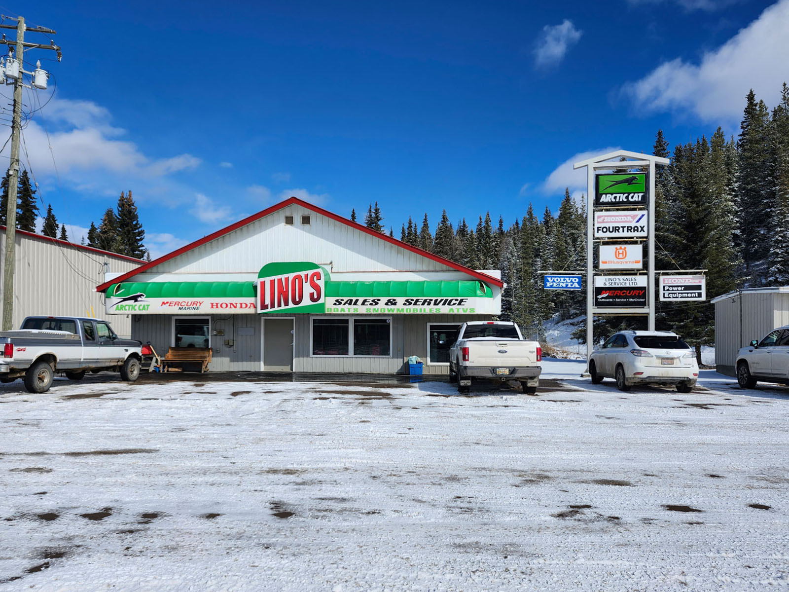
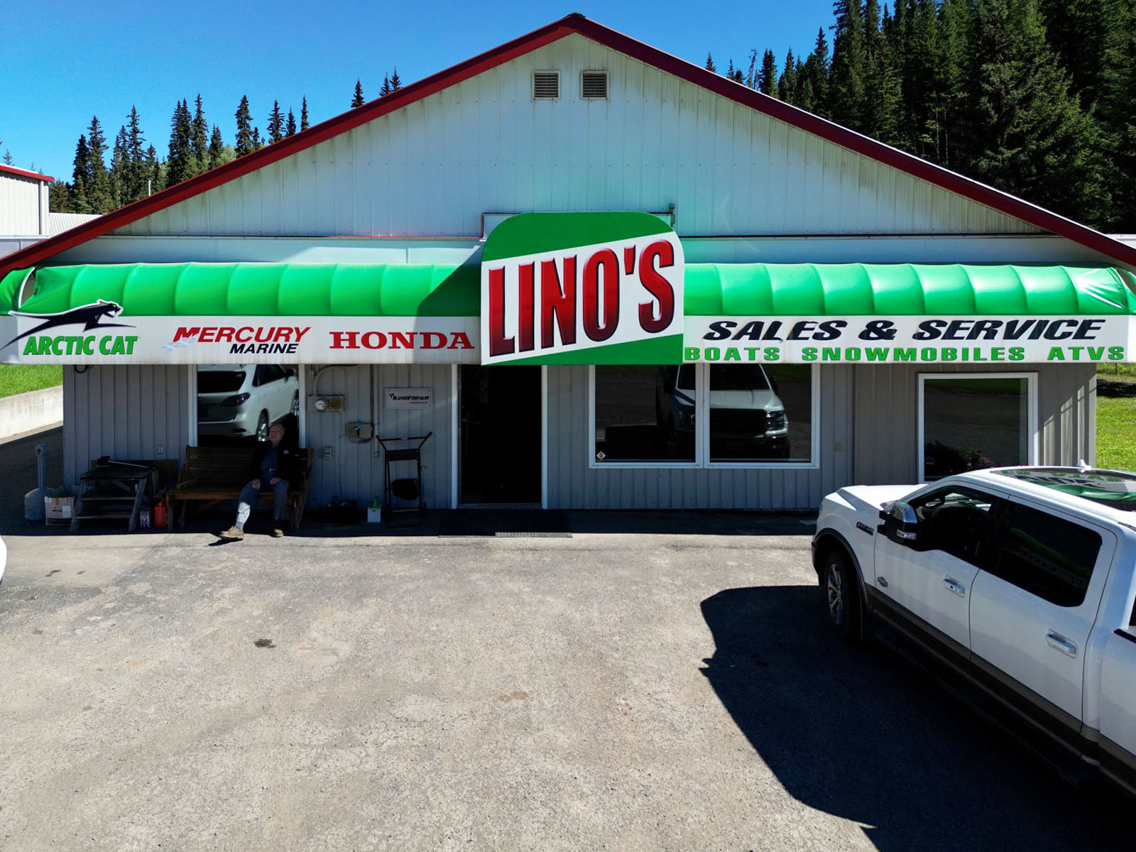
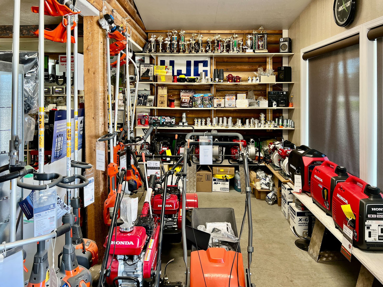
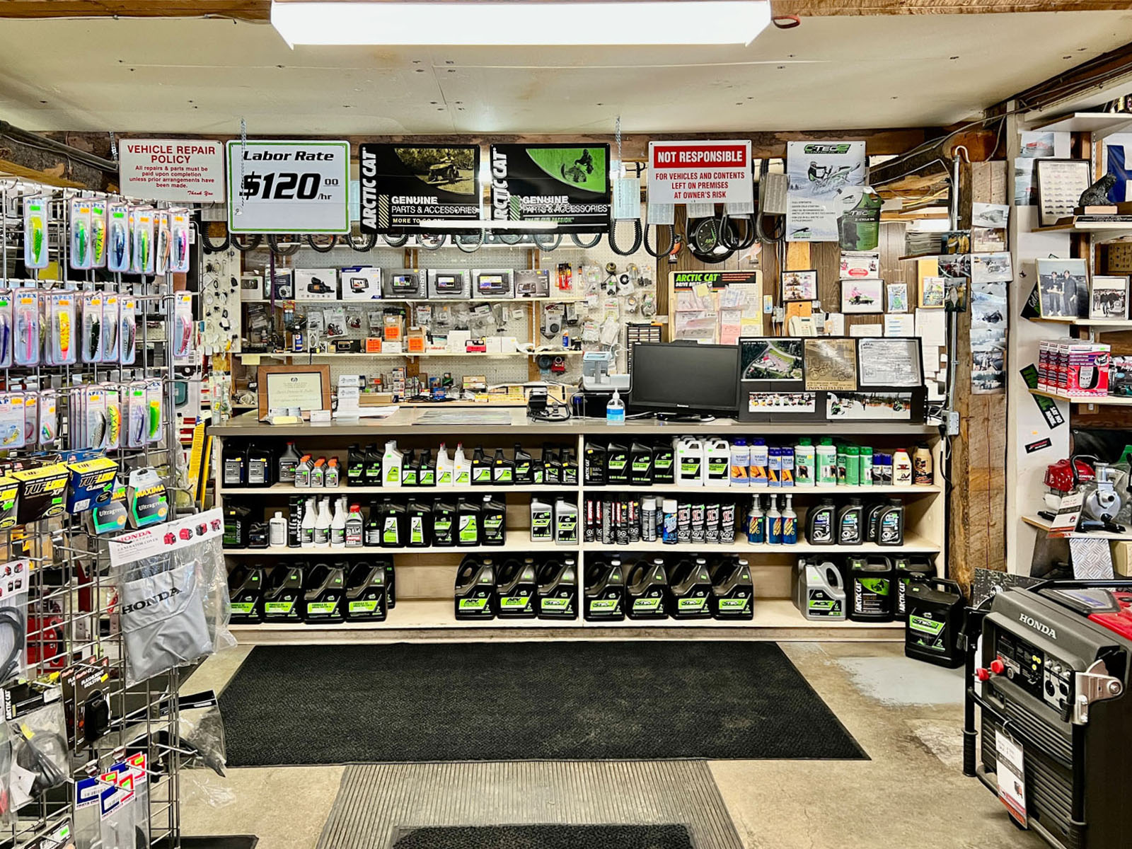
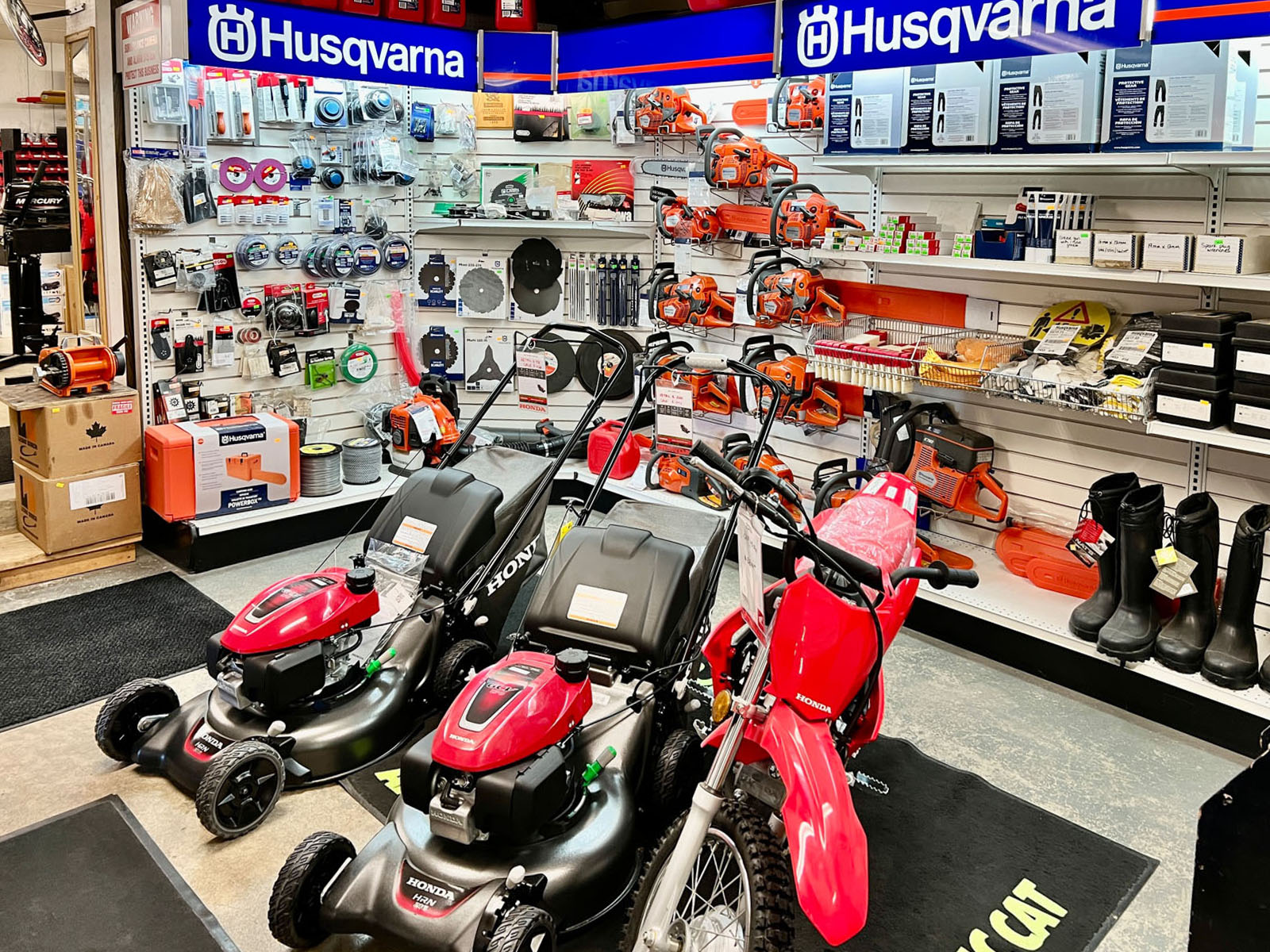

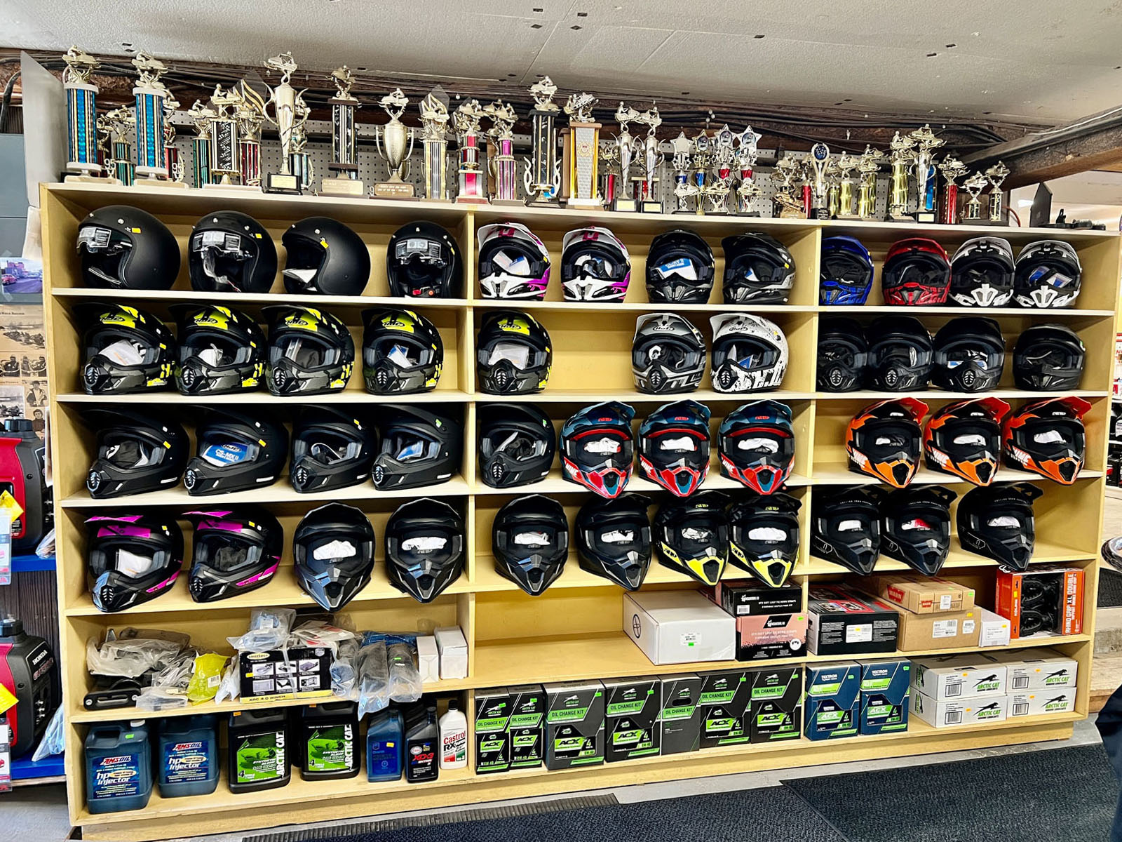
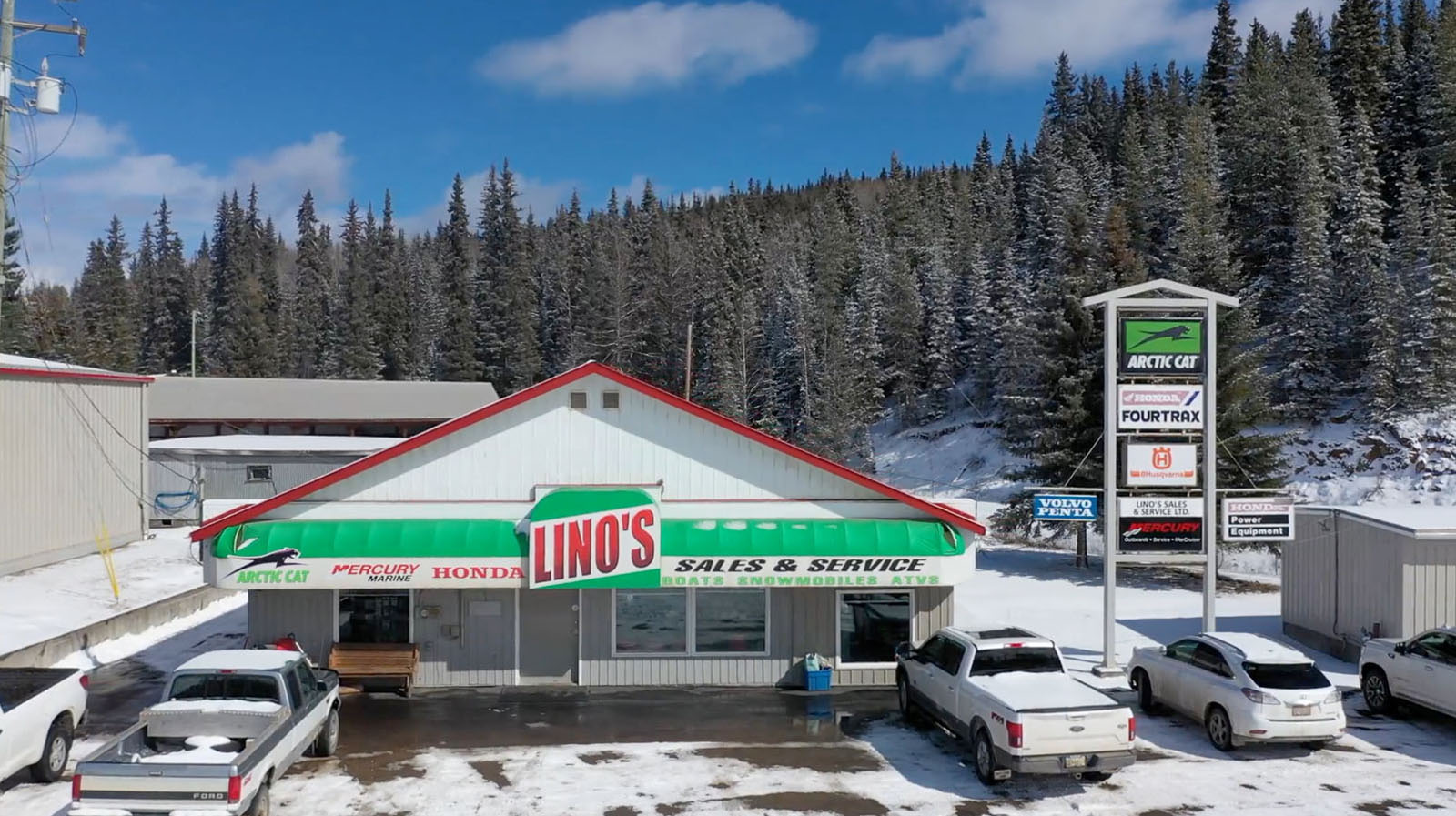
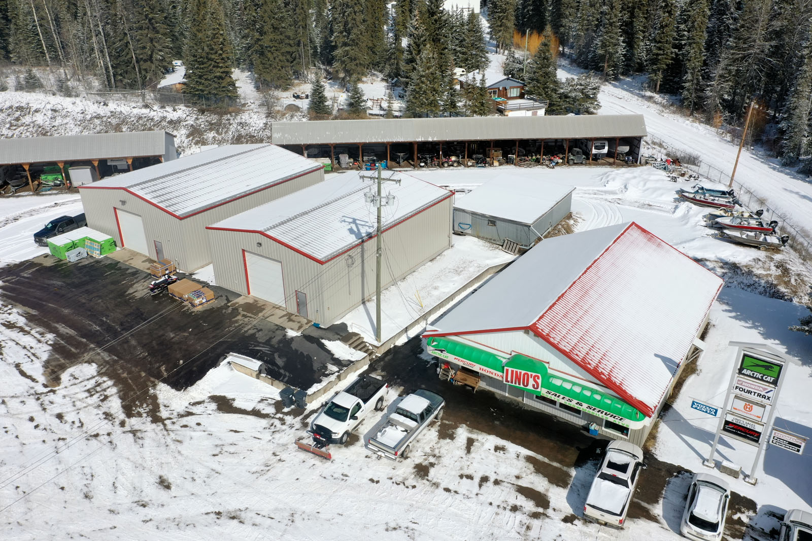
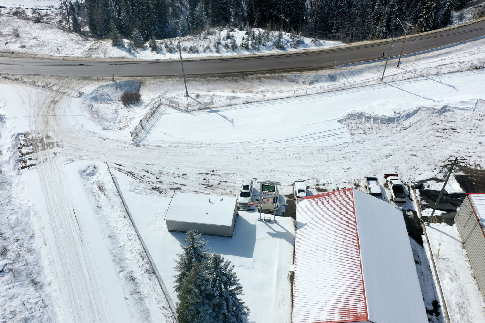
Positioned directly on Highway 16 with exceptional visibility and traffic exposure, this fully-fenced, move-in ready commercial property represents a rare opportunity in Burns Lake. Developed and refined over more than 50 years as a successful outdoor motorsports dealership, the 1.7-acre site offers an outstanding combination of workshop, covered storage, and retail/office space—all ready for immediate occupancy. The property is zoned M1 Light Industrial under the Village of Burns Lake Zoning Bylaw No. 880, a designation that supports a broad range of uses including vehicle and equipment repair, sales and rental, warehousing and distribution, contractor services, storage, light manufacturing, and trade outlets. Buyers should confirm permitted uses directly with the Village of Burns Lake planning department prior to any commitments.
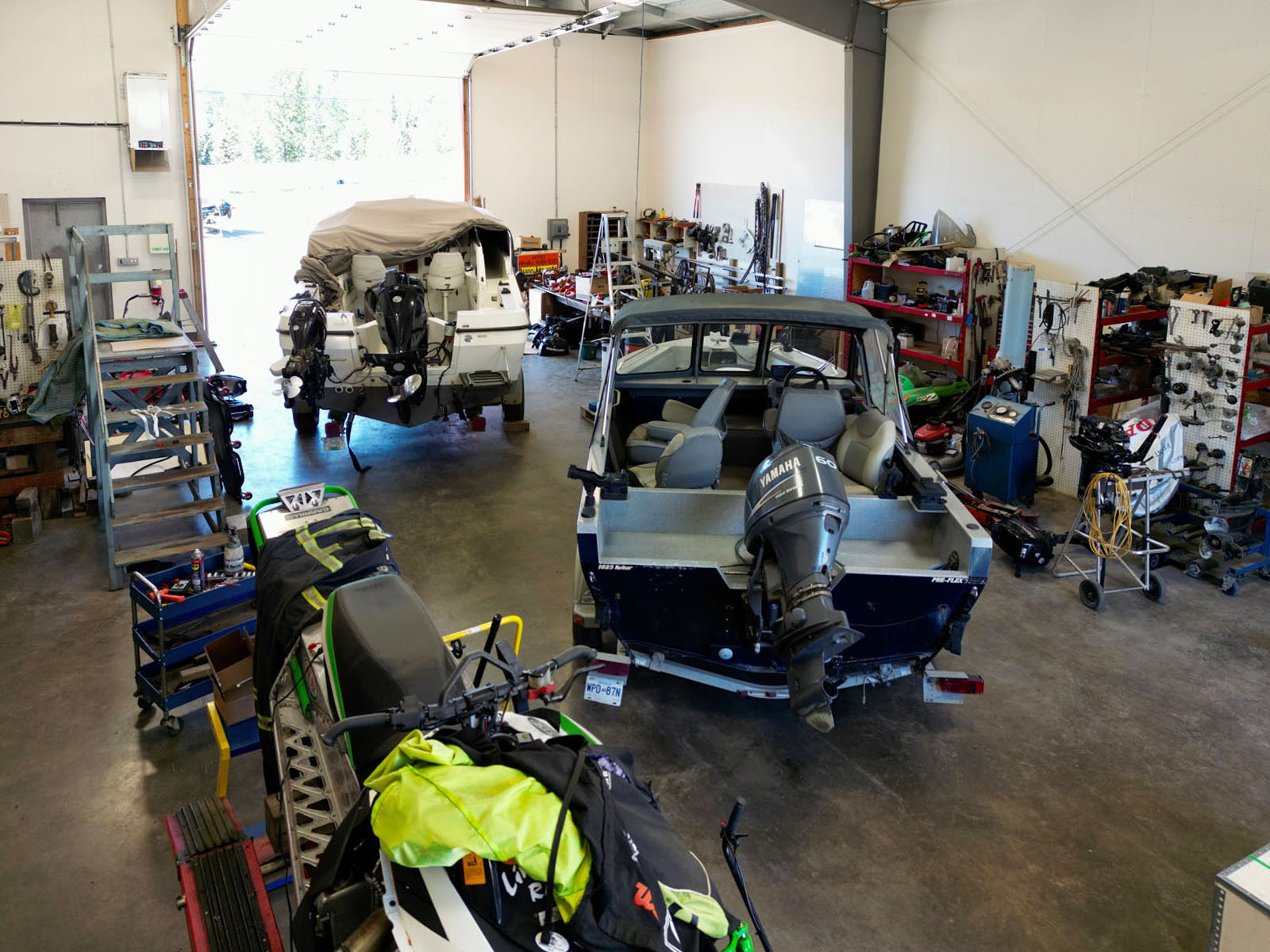
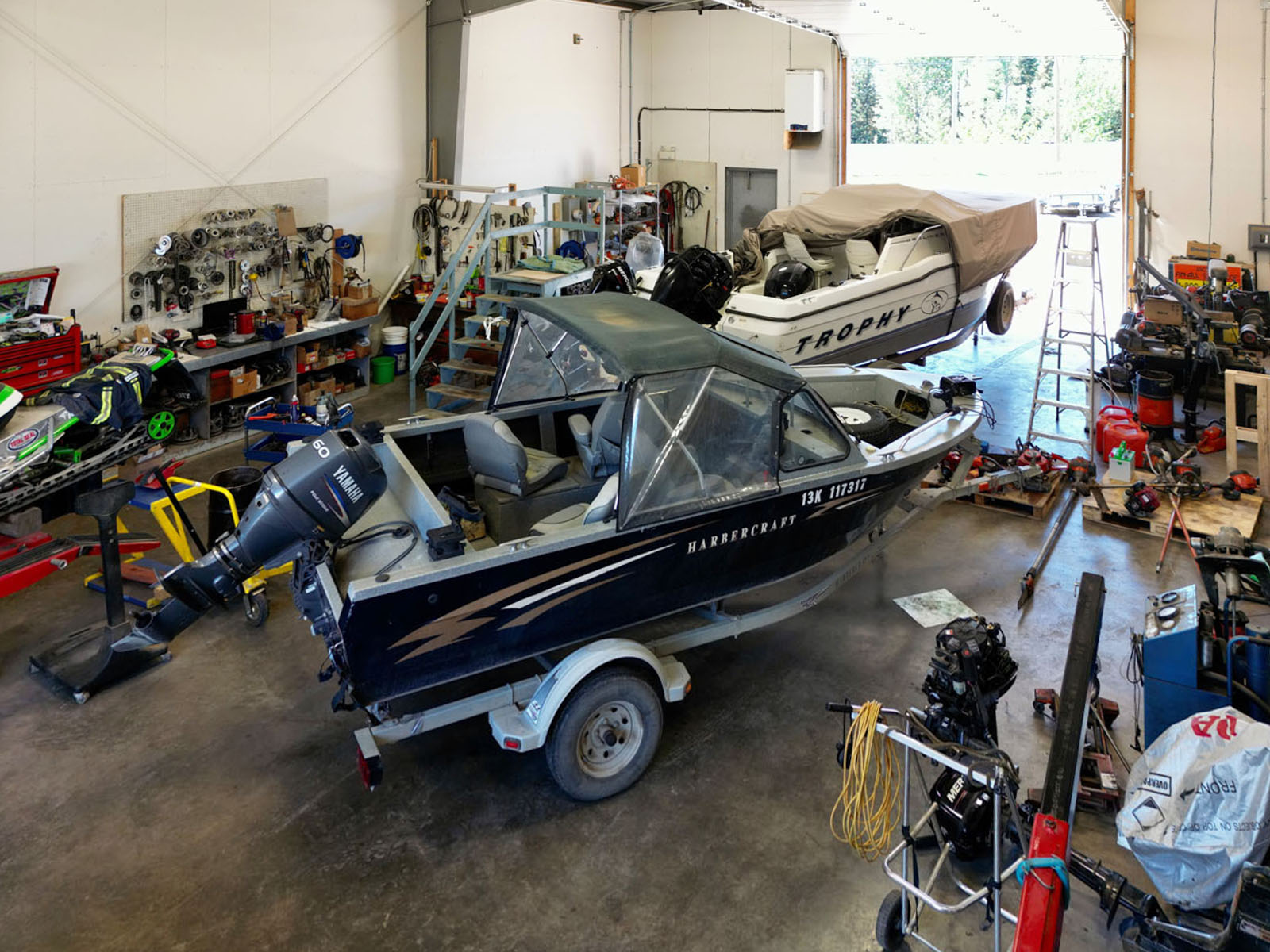
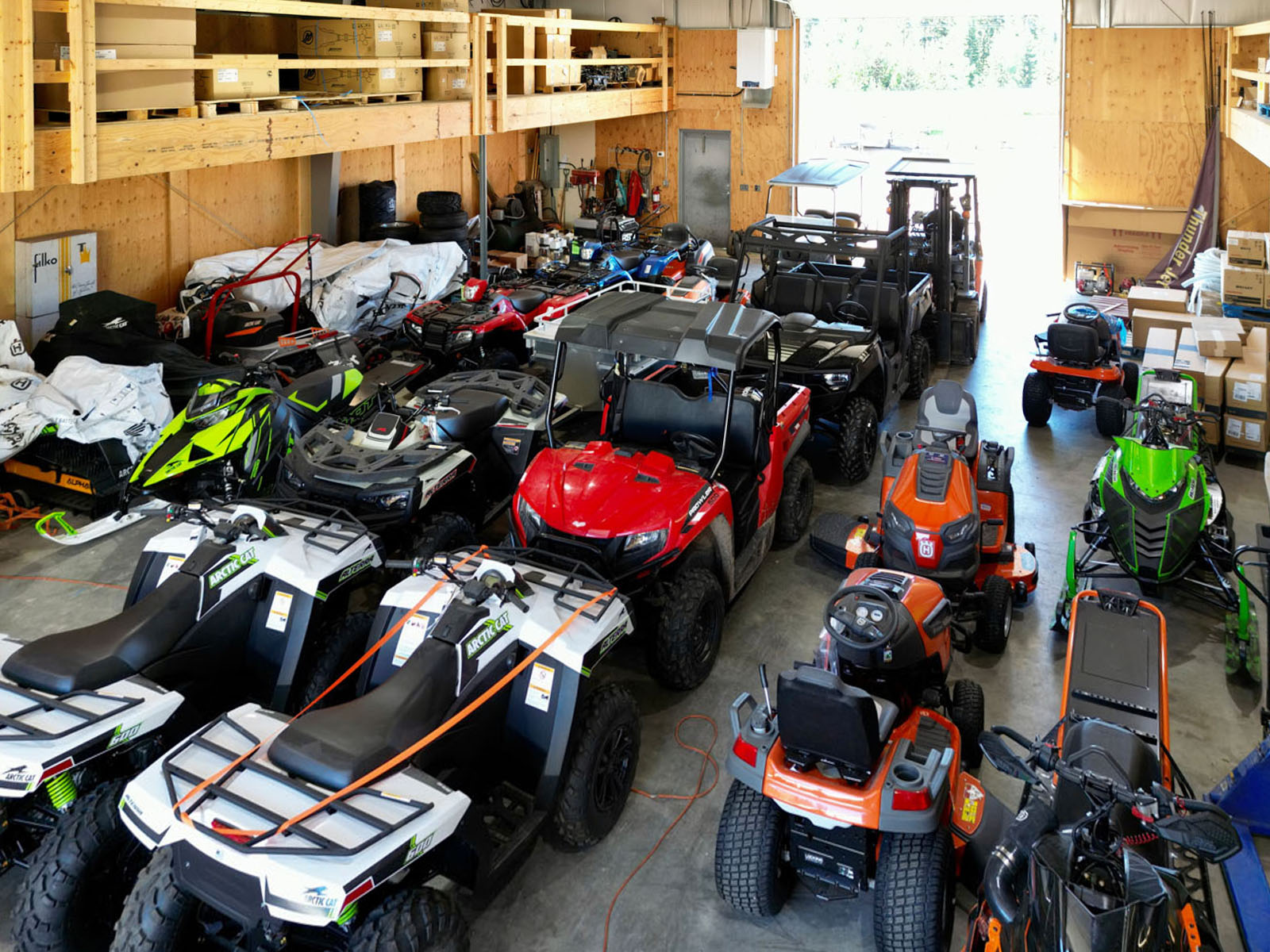
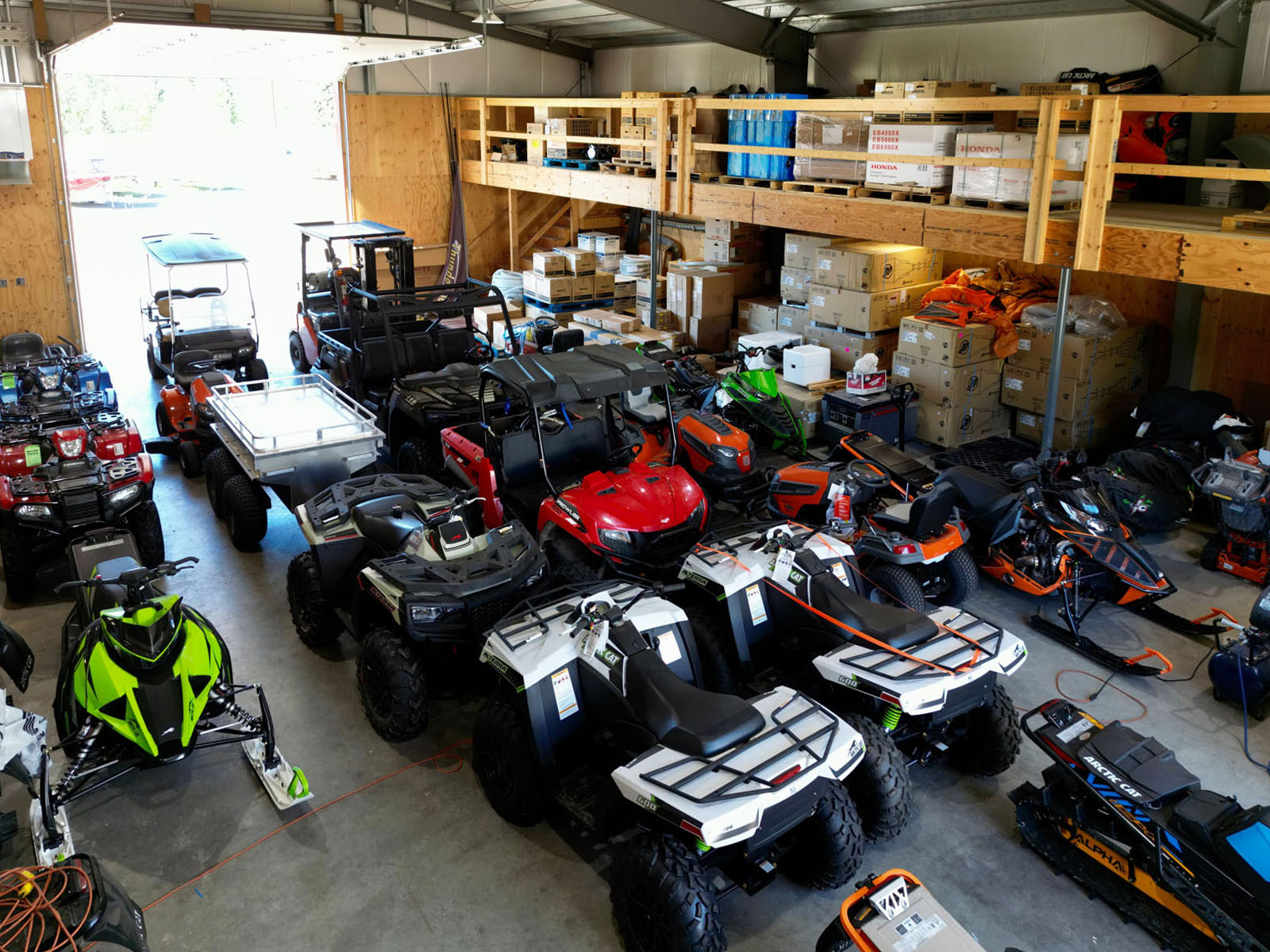
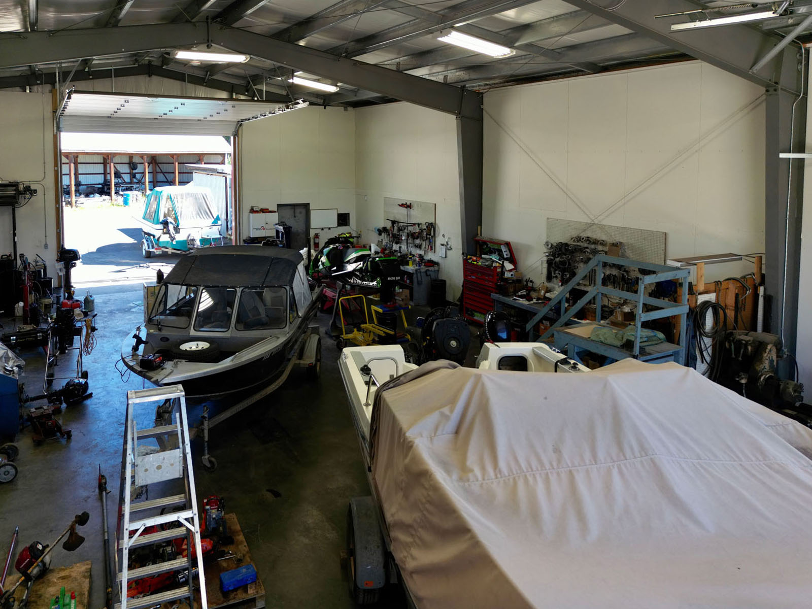
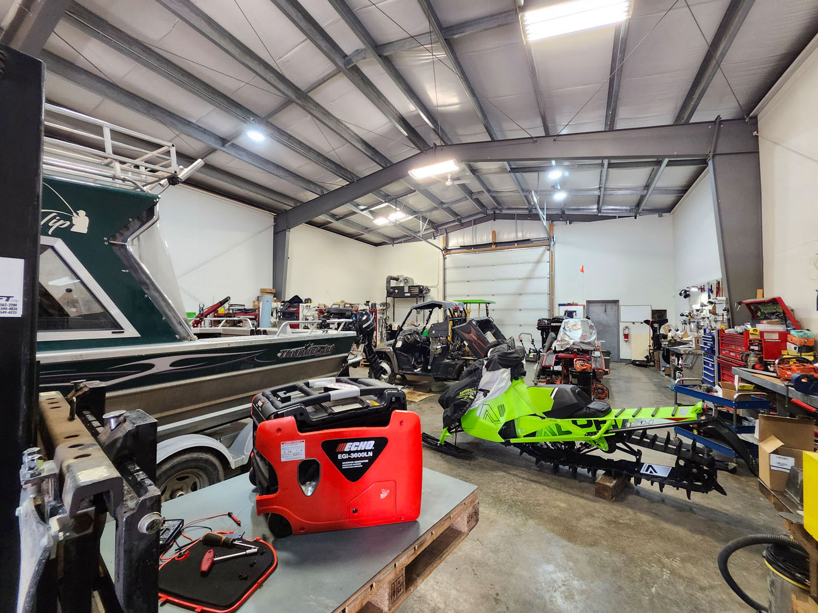
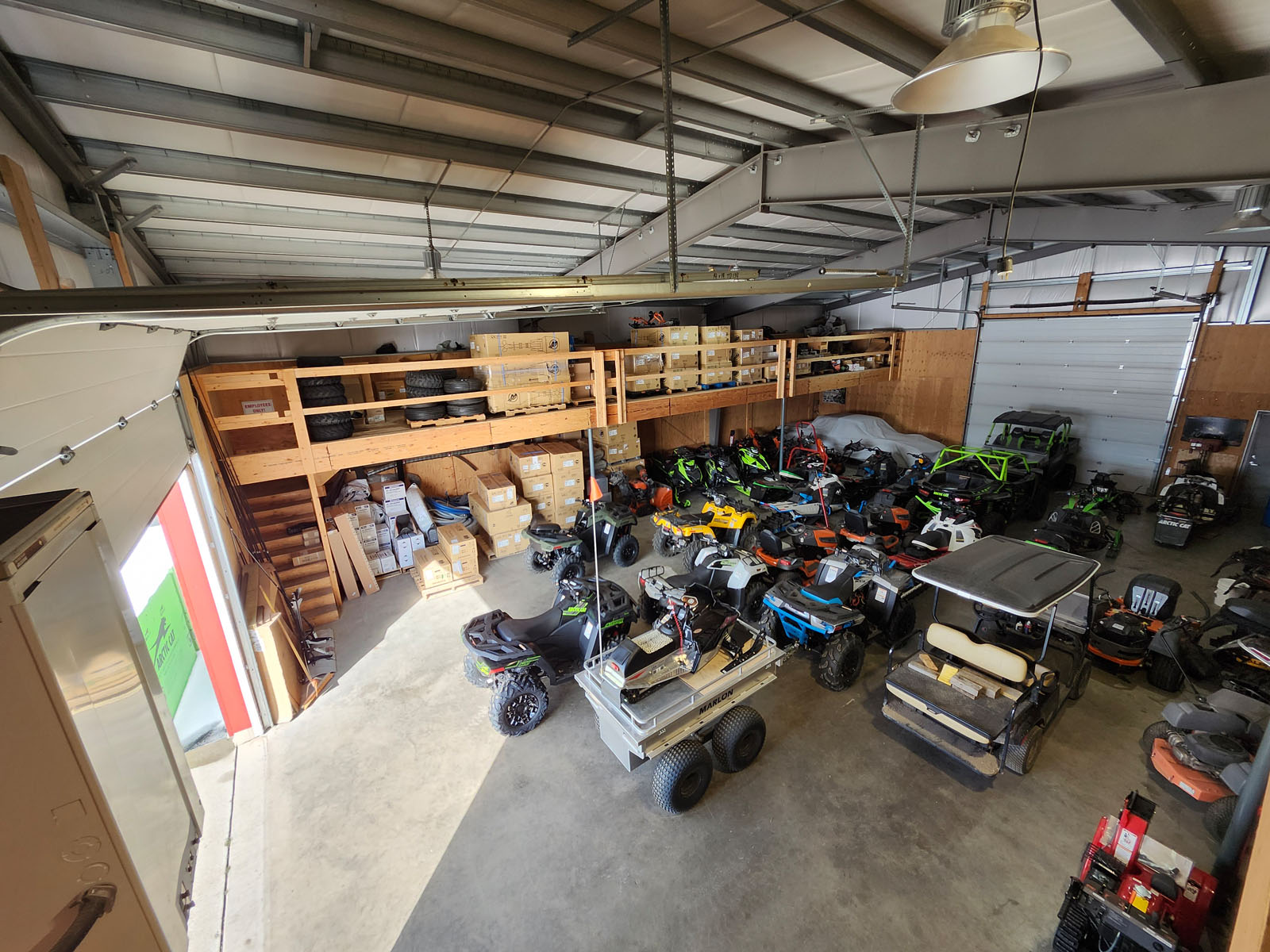
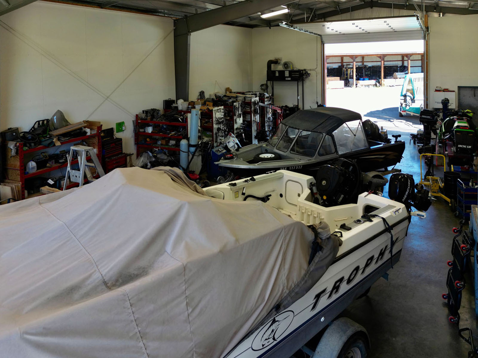
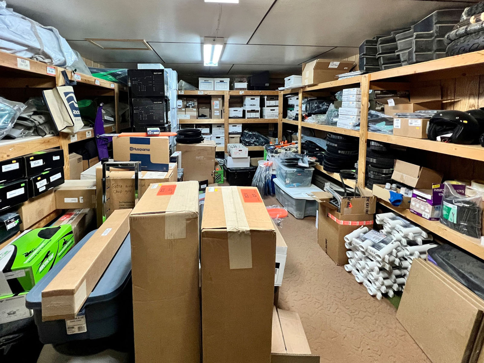
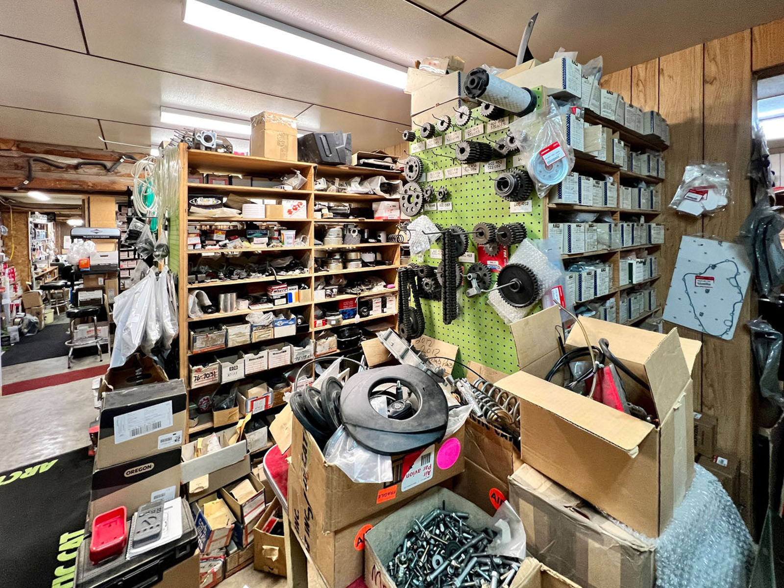
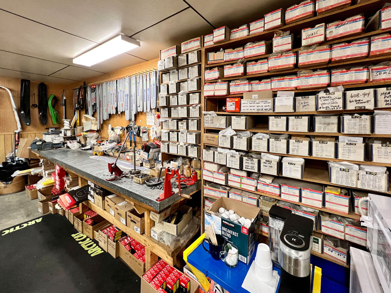
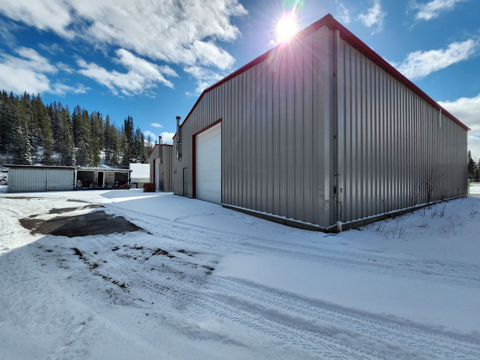
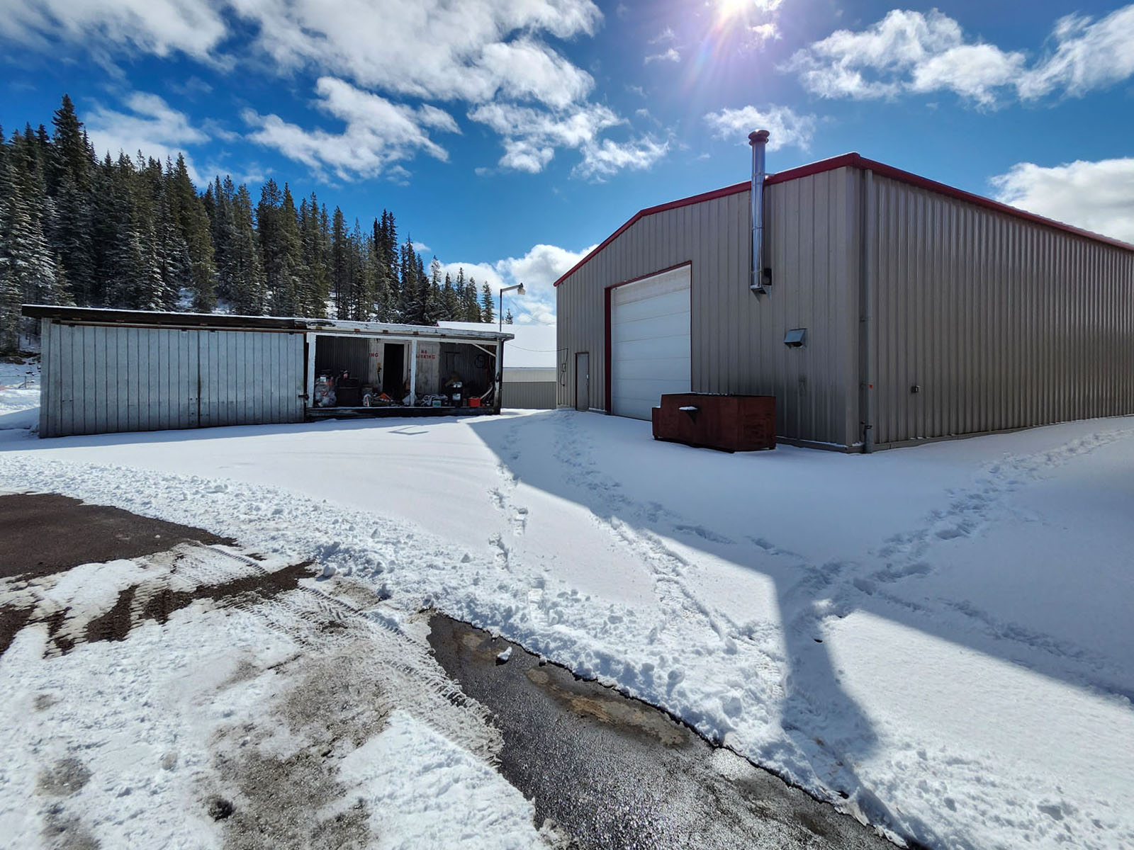
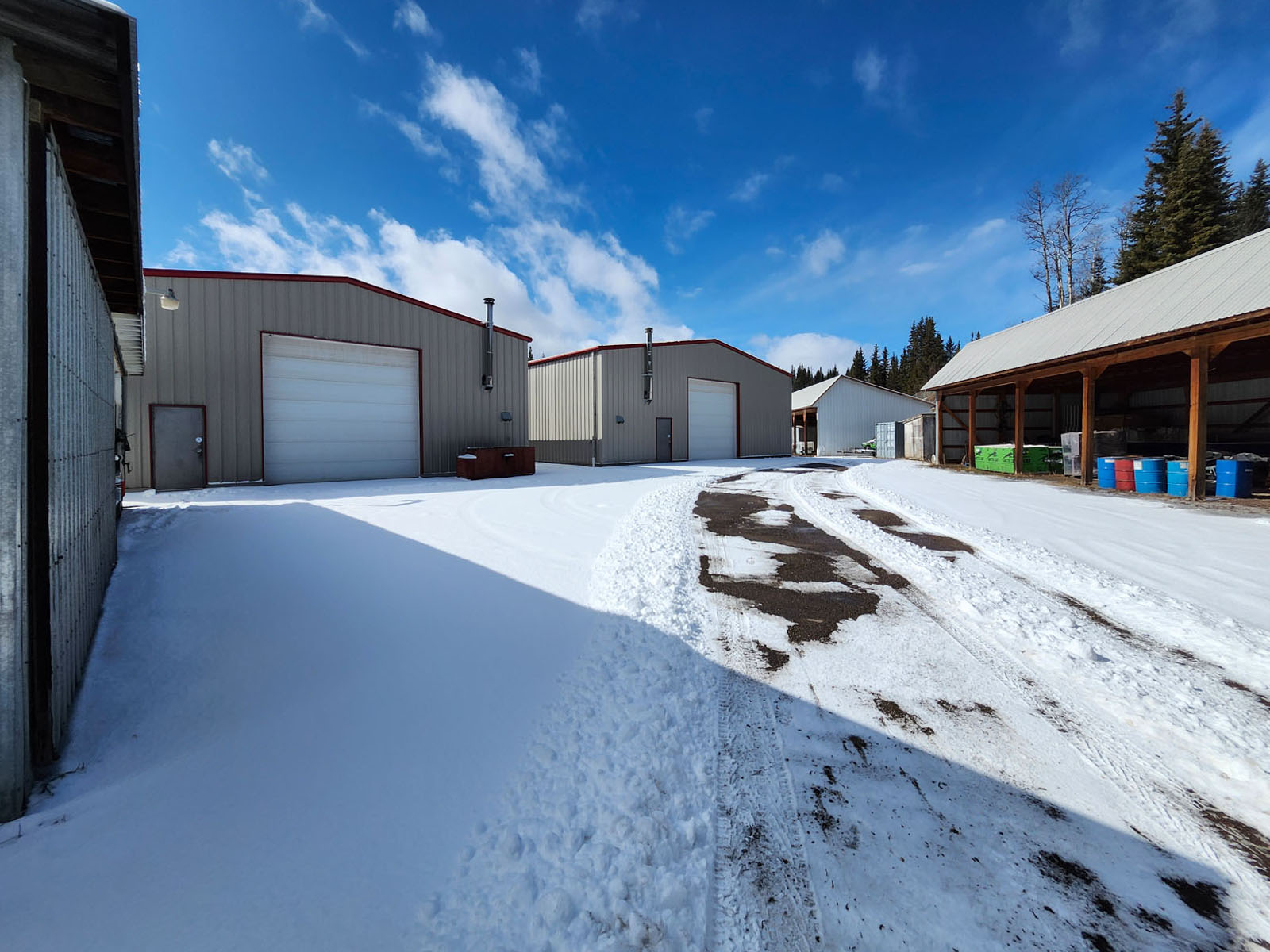
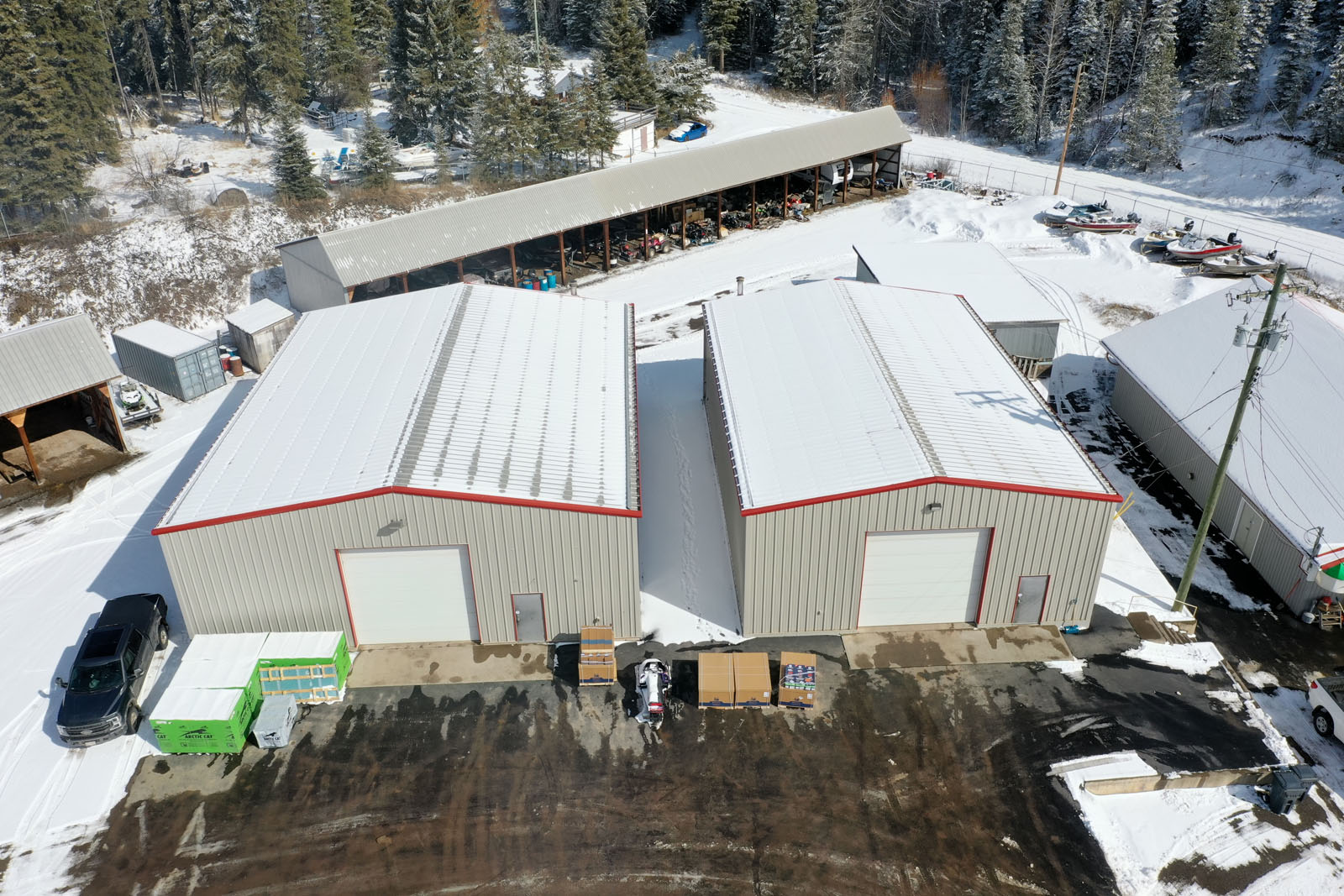
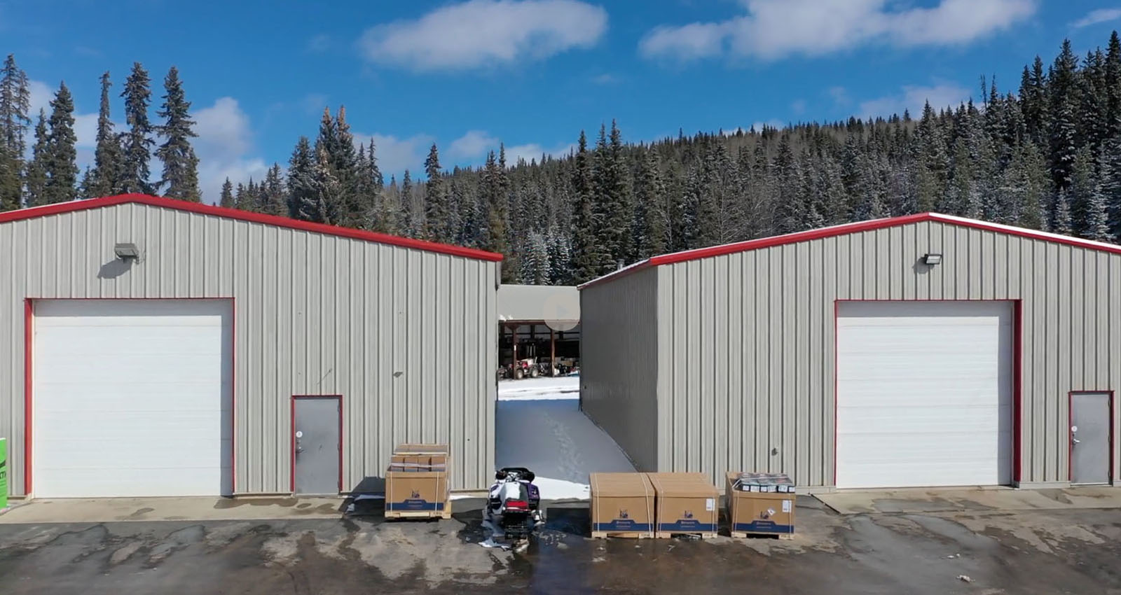
The improvements on the property are substantial. The main repair shop measures 40' × 60' (2,400 sq. ft.) and is equipped with a 14' × 14' overhead door, 200-amp 3-phase electrical service, and dual heating via both an oil furnace and an electric furnace. There is no built-in shop equipment, leaving the space open and ready for a new operator's tools and machinery. The second building is a storage structure measuring 50' × 60' (3,000 sq. ft.), also featuring a 14' × 14' overhead door, 200-amp 3-phase power, and the same dual oil and electric heating setup.
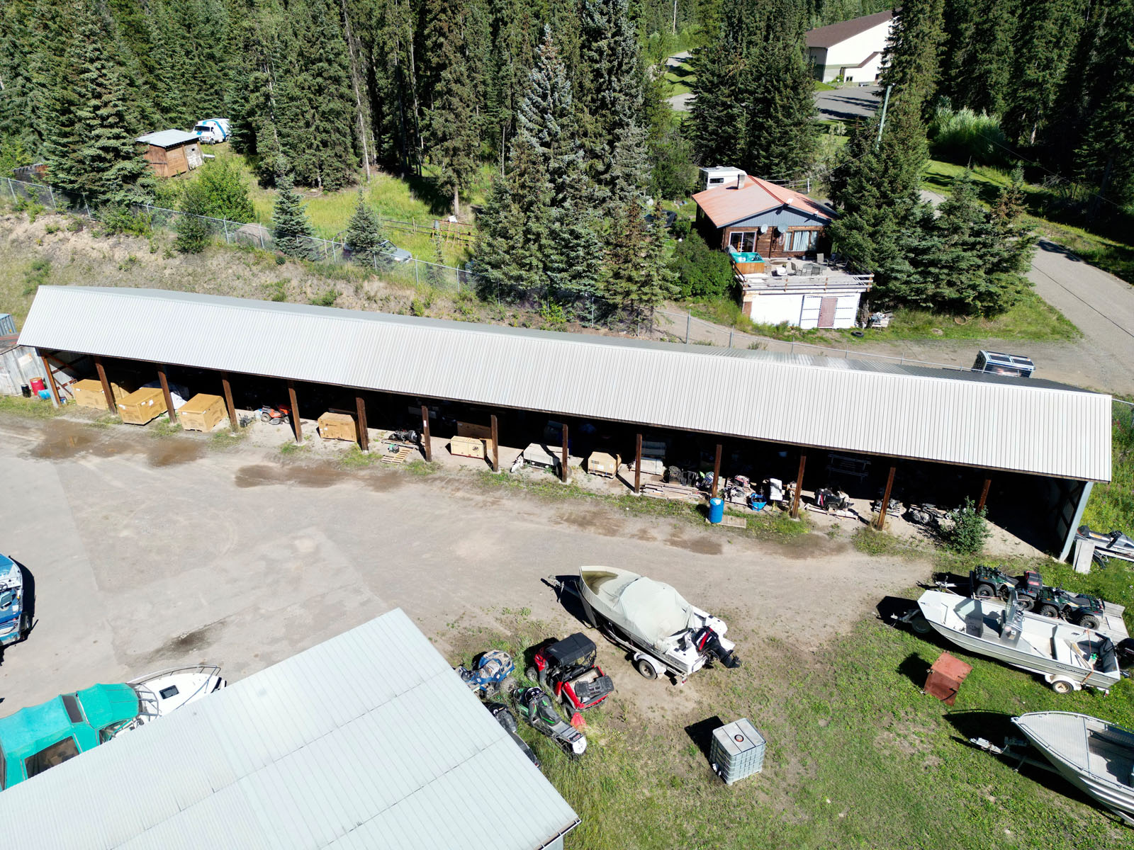
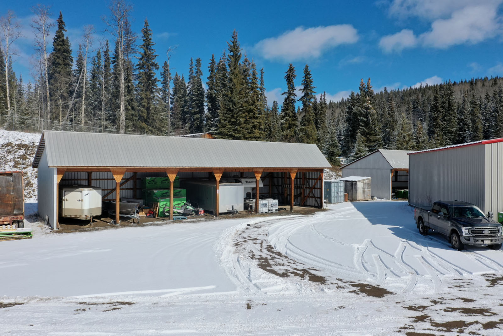
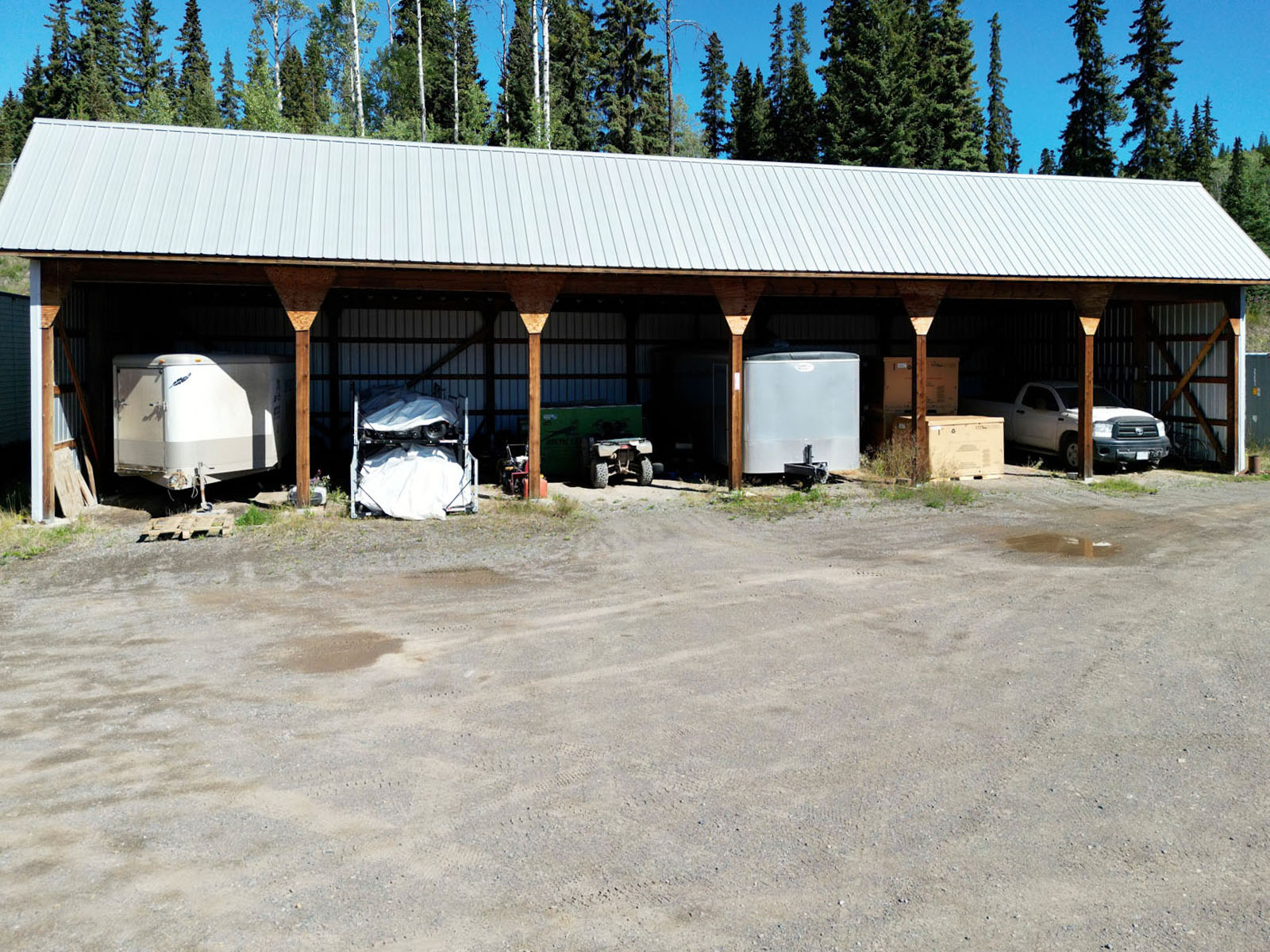
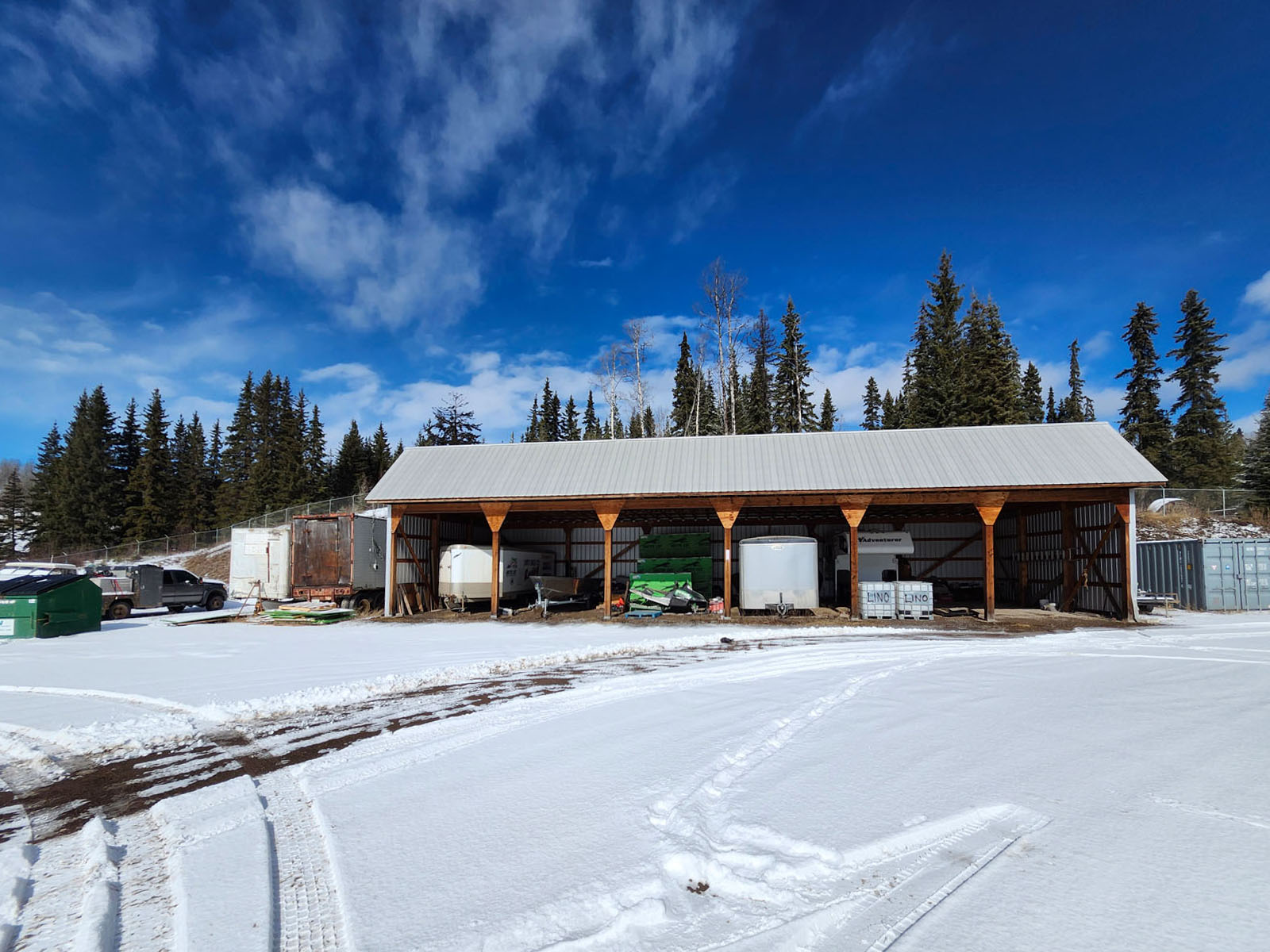
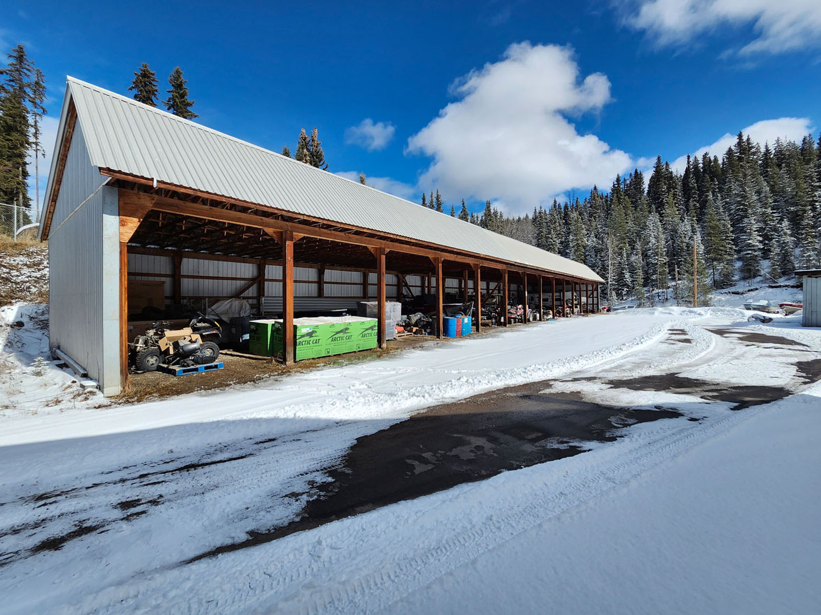
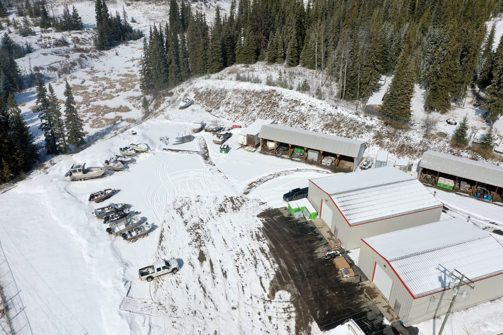
In addition to the enclosed buildings, the property offers two substantial post-and-beam covered storage structures. The first spans 78' in total width with 6 bays, each 13' wide and 28' deep, for a total covered area of approximately 2,184 sq. ft. at a clearance height of 12'6". The second is considerably larger, stretching 168' across with 14 bays, each 12' wide and 28' deep, totalling approximately 4,704 sq. ft. of covered area at the same 12'6" clearance height. These structures are ideal for equipment, vehicle, and inventory storage, or could readily support a covered rental storage operation.
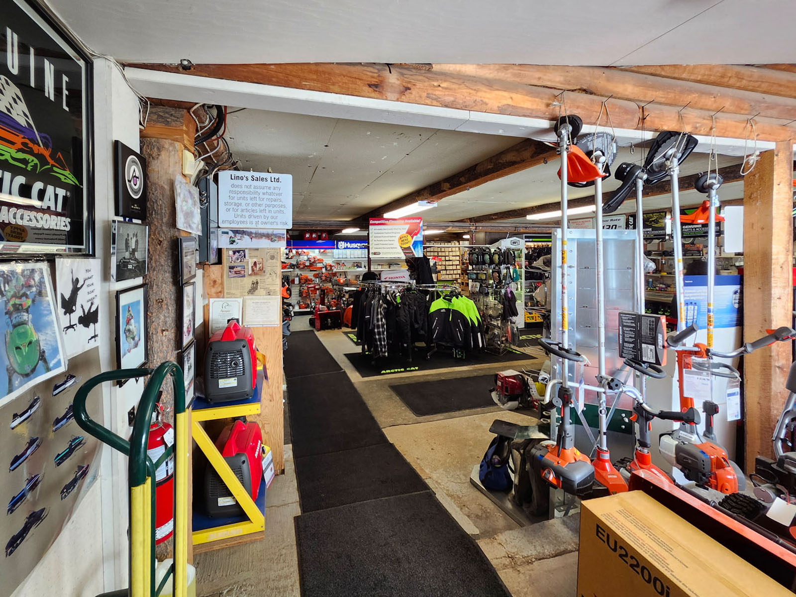
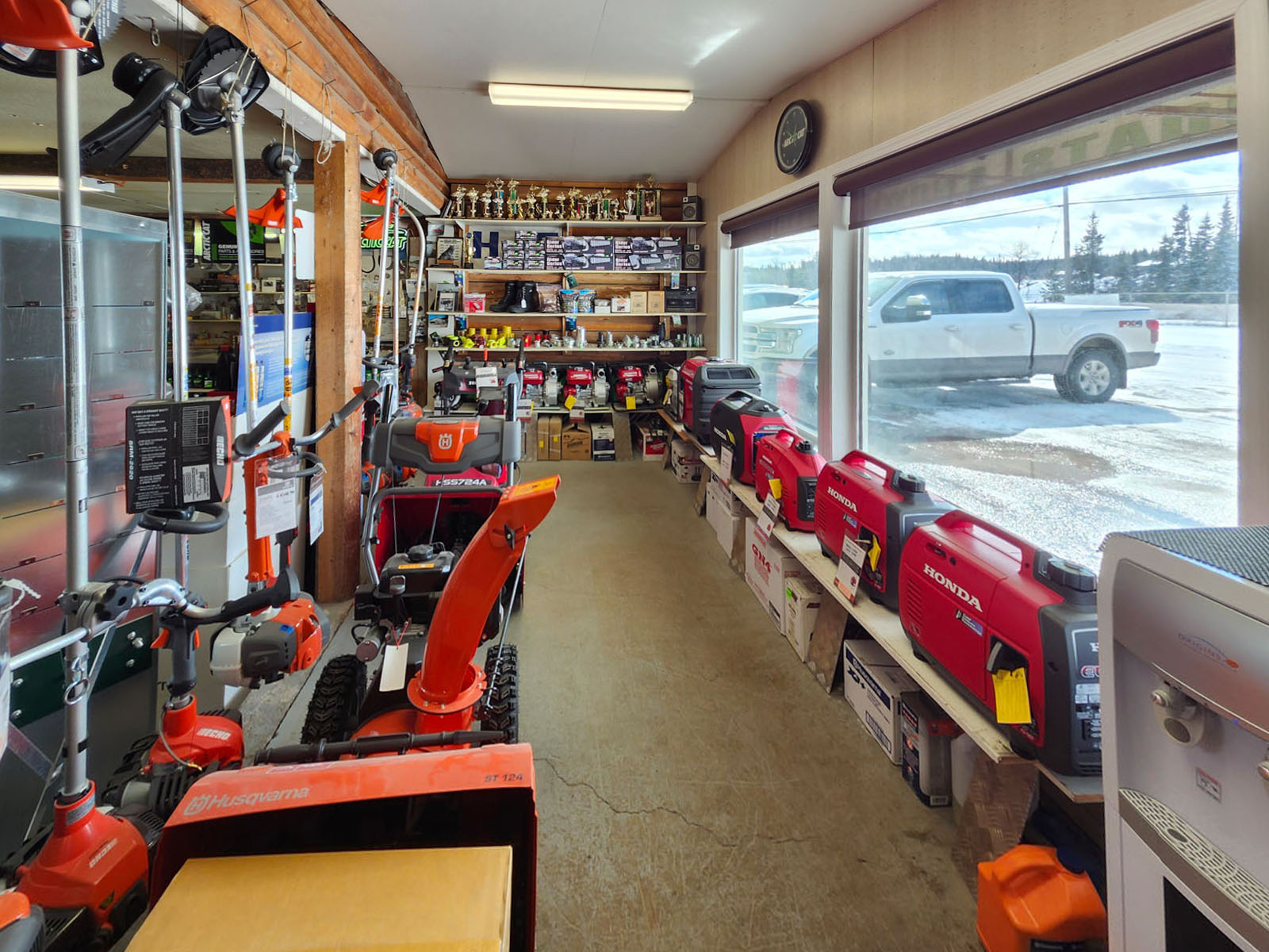
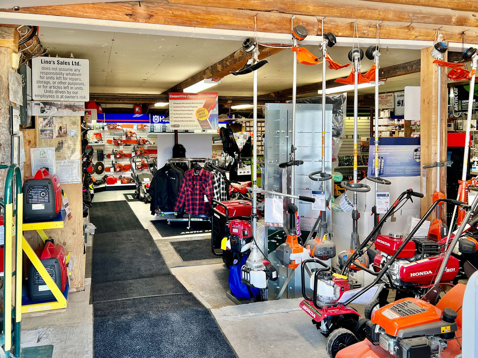
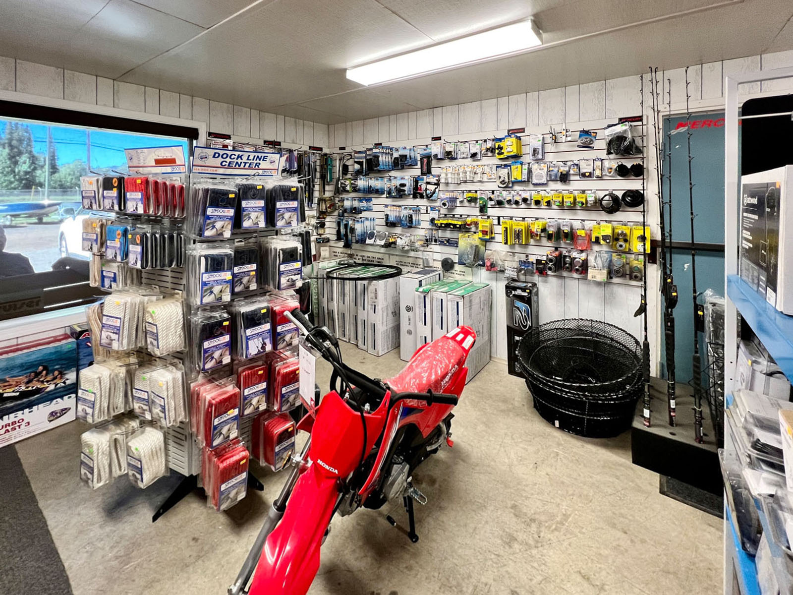
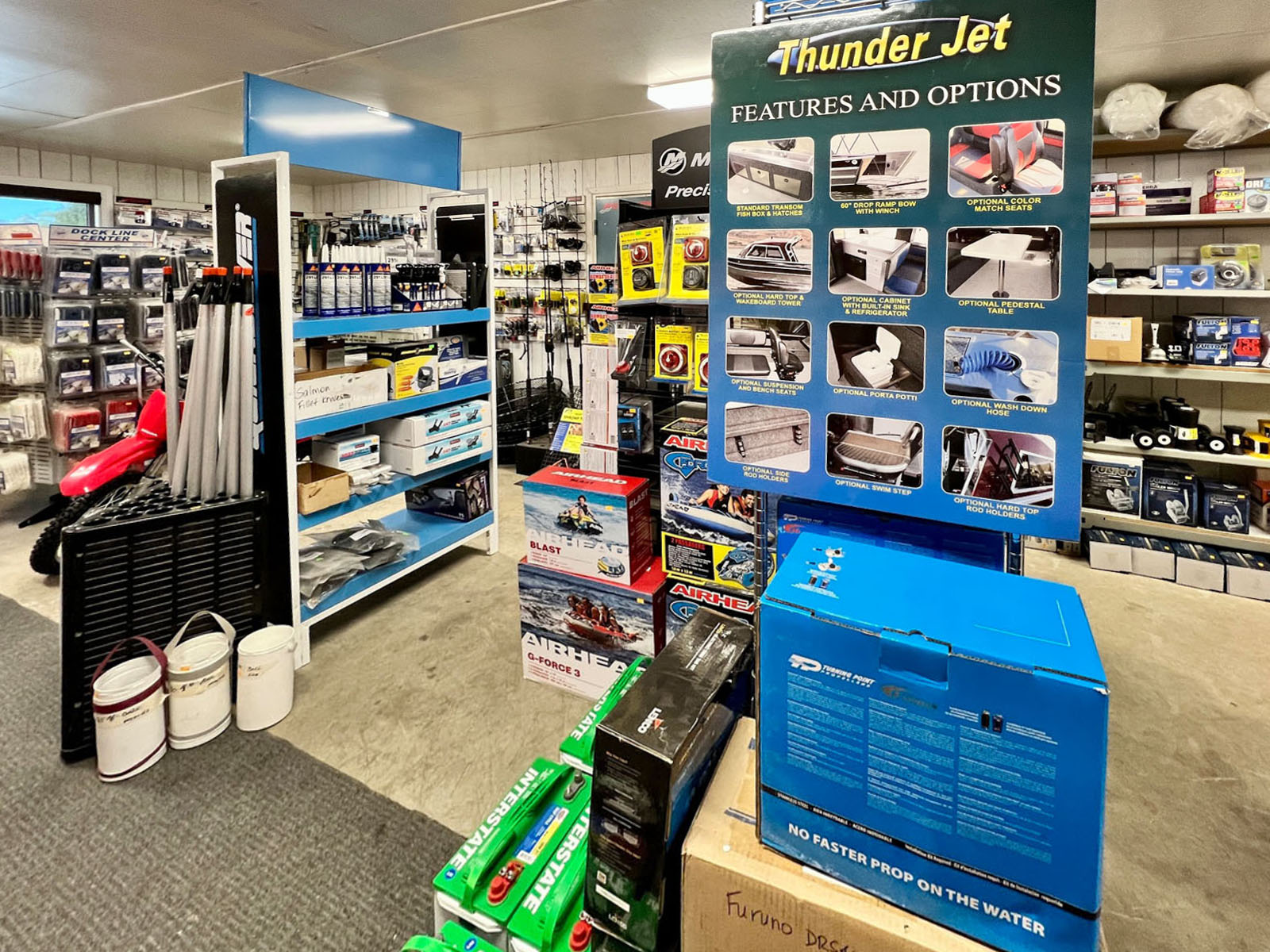
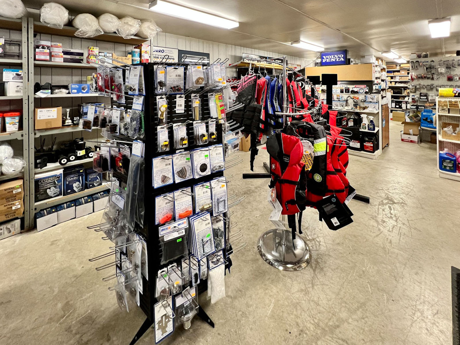
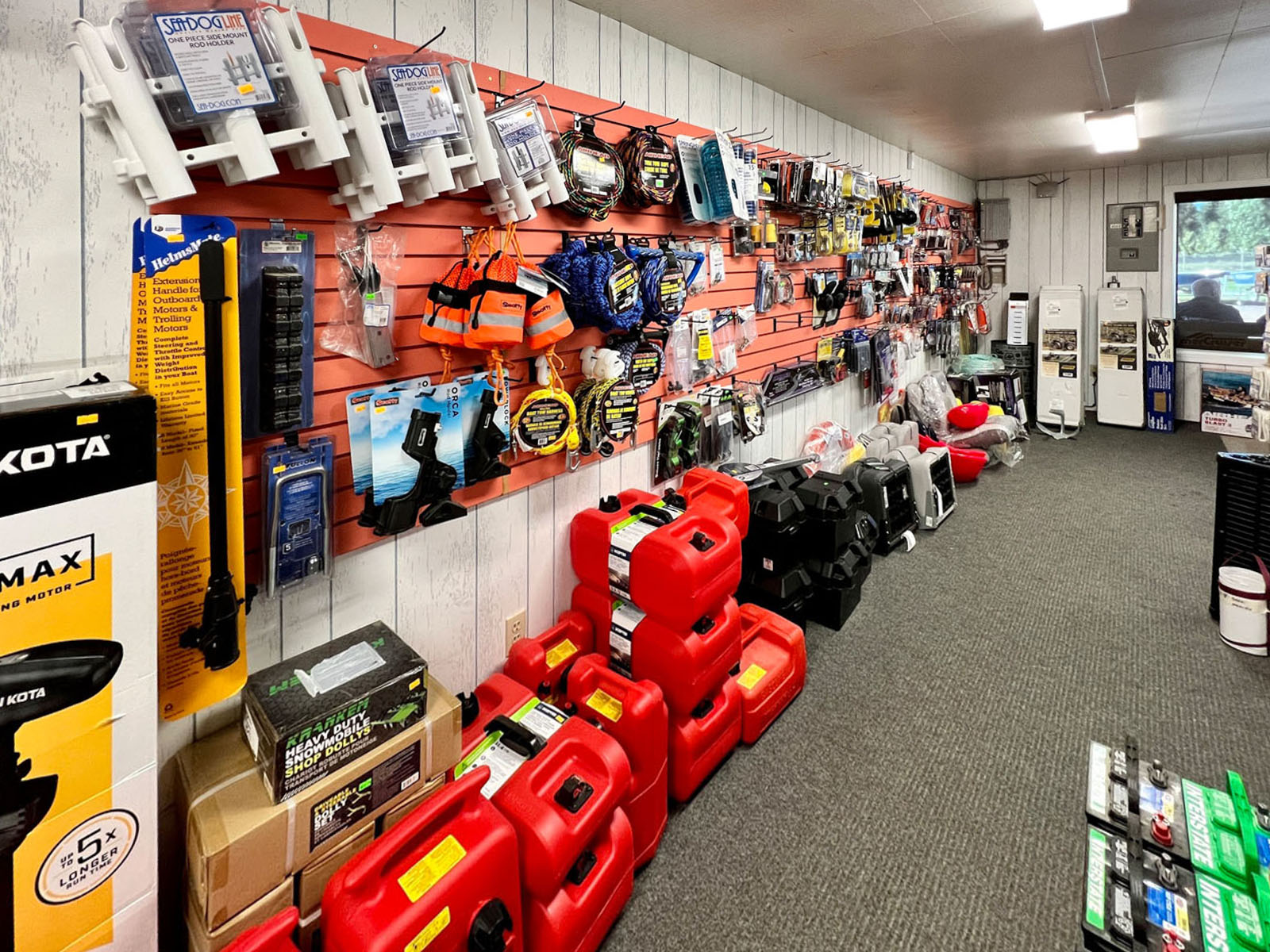
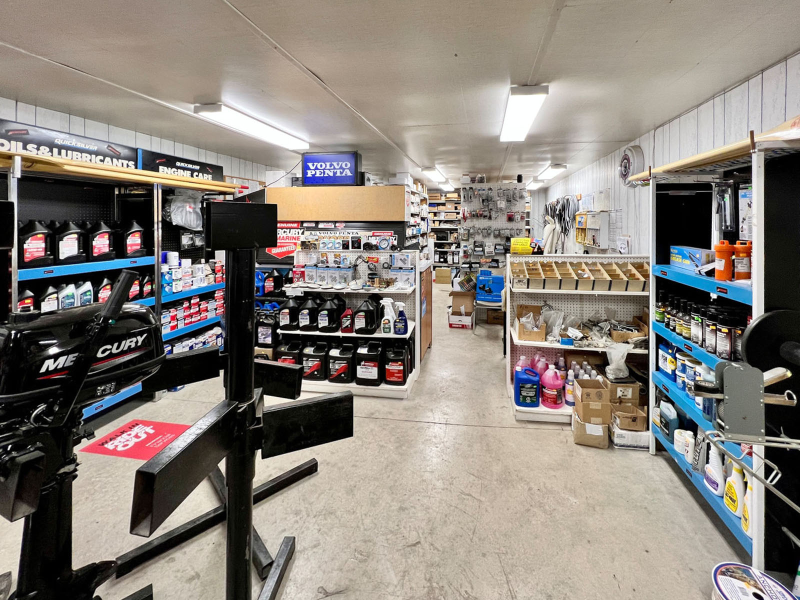
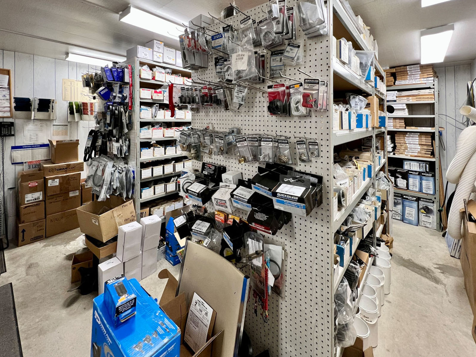
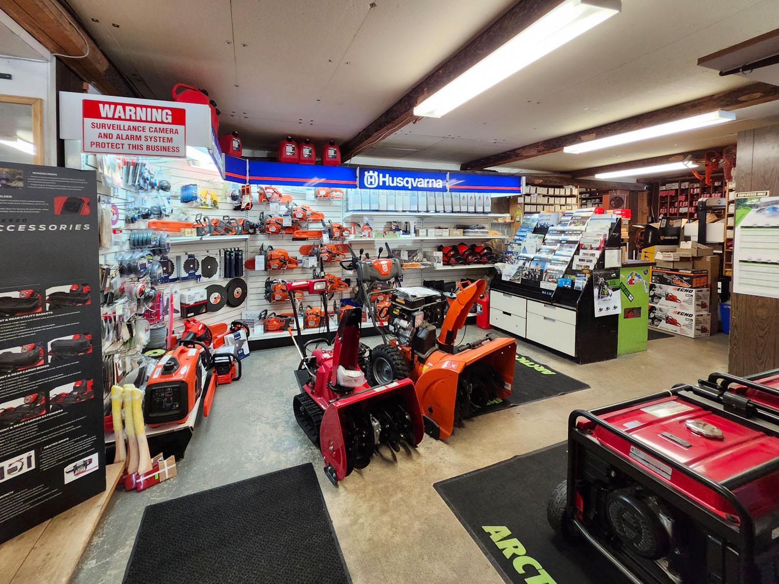
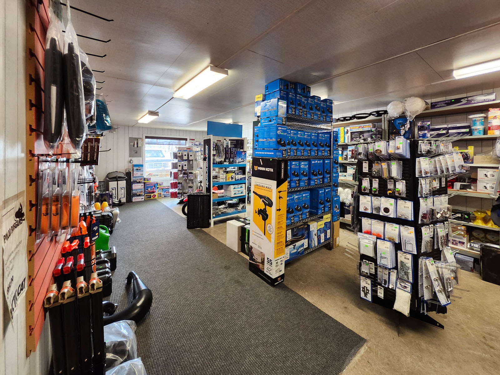
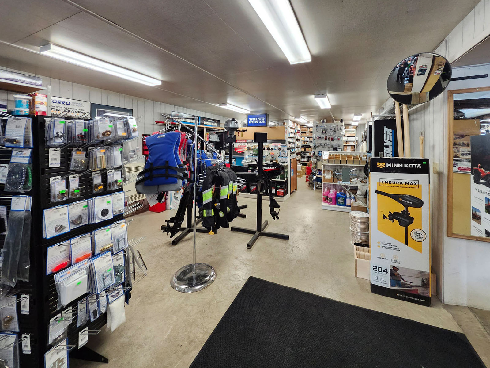
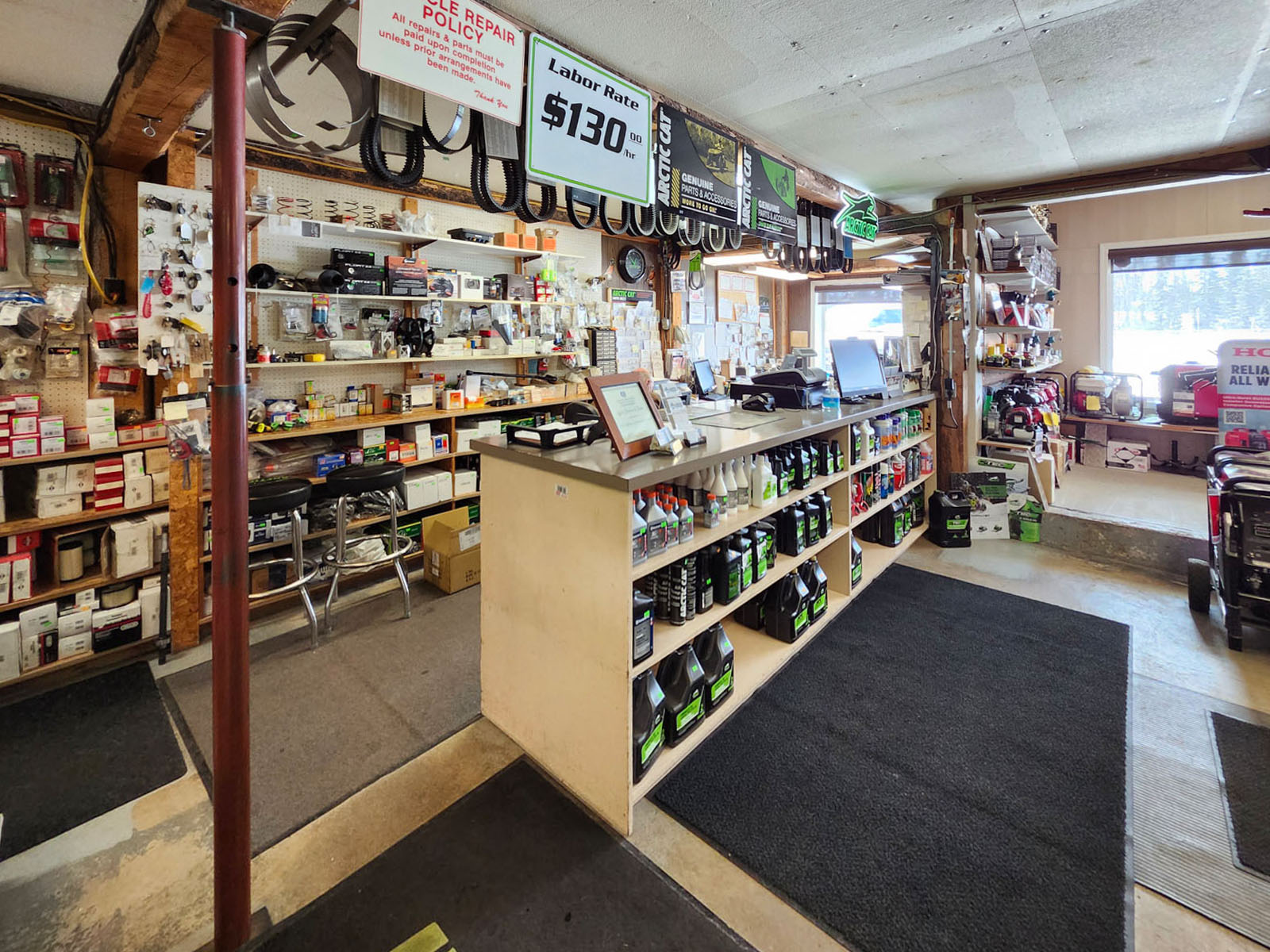
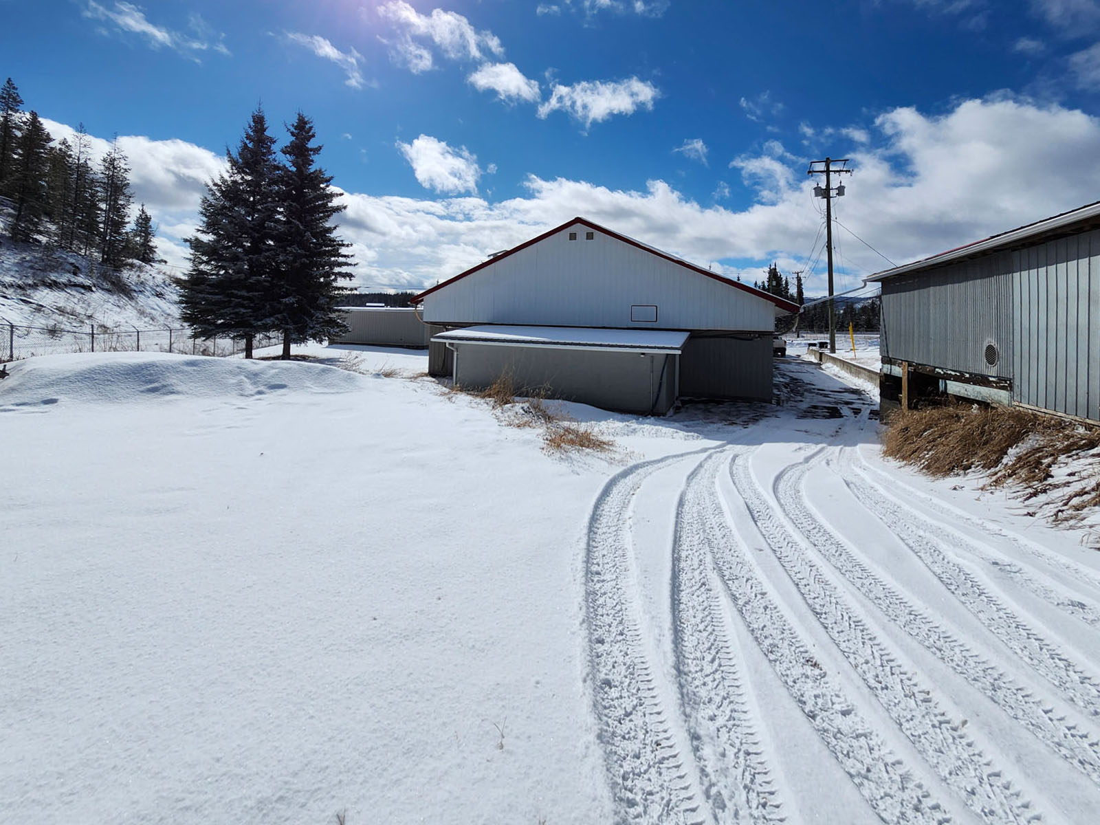
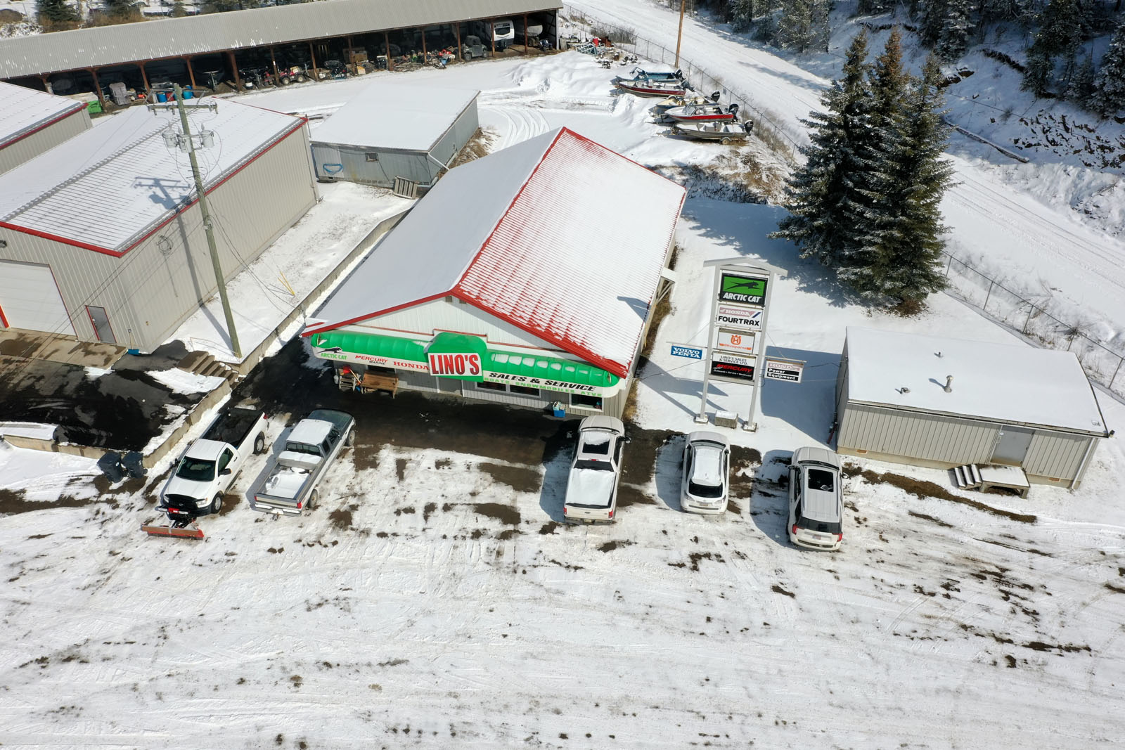
The office and retail store provides 2,691 sq. ft. of finished interior space fronting directly onto Highway 16, with strong customer visibility and walk-in access. It is heated by two gas furnaces and is suited for retail sales, a showroom, administrative offices, or customer-facing services. A washroom facility is housed in a separate building attached to the rear wall of the retail store.
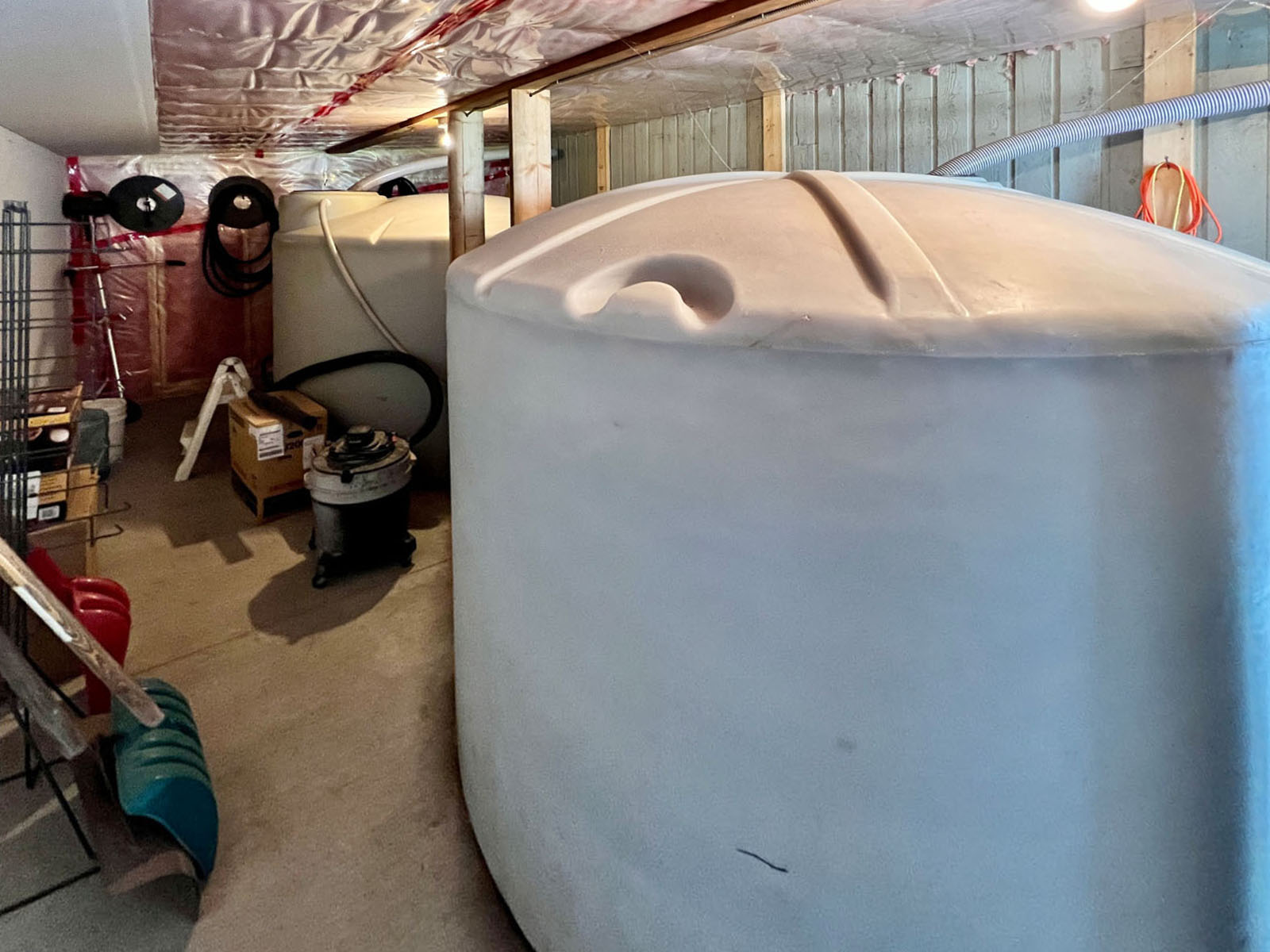
Utilities on site include 200-amp 3-phase electrical service to the shop buildings, a septic system, and a rainwater collection system consisting of two 1,250-gallon (4,731-litre) holding tanks plumbed and located in the washroom building. The retail store is heated by gas, while both shop buildings have dual oil and electric heating. No environmental reports are available, and buyers are advised to conduct their own due diligence in this regard.
The entire yard is secured by a perimeter chain-link fence standing 6' tall with an additional 12" of 3-wire barbed wire mounted above the top edge, bringing the total effective barrier height to approximately 7'. An alarm system is installed on the property, and ample on-site parking is available for customers, staff, vehicles, and equipment.
The property benefits from a BC Ministry of Transportation Permit to Construct Works Upon Highways (Permit No. 324-12326, Bulkley Stikine District), which authorizes the use of the Ministry's right-of-way along Burns Lake Arterial #732R and the installation of the chain-link perimeter fence within that right-of-way. If the purchaser is a corporation (limited company), the permit transfers automatically to the new owner. If the purchaser is an individual, a new application to the Ministry of Transportation will be required. Buyers are encouraged to confirm transfer terms with the BC Ministry of Transportation, Bulkley Stikine District, prior to closing.
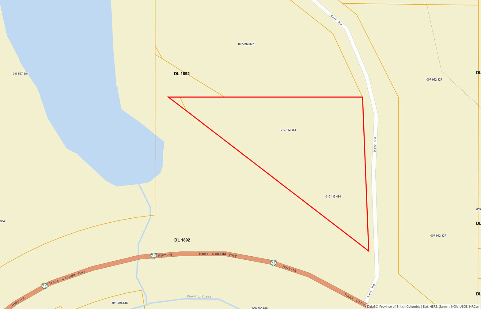
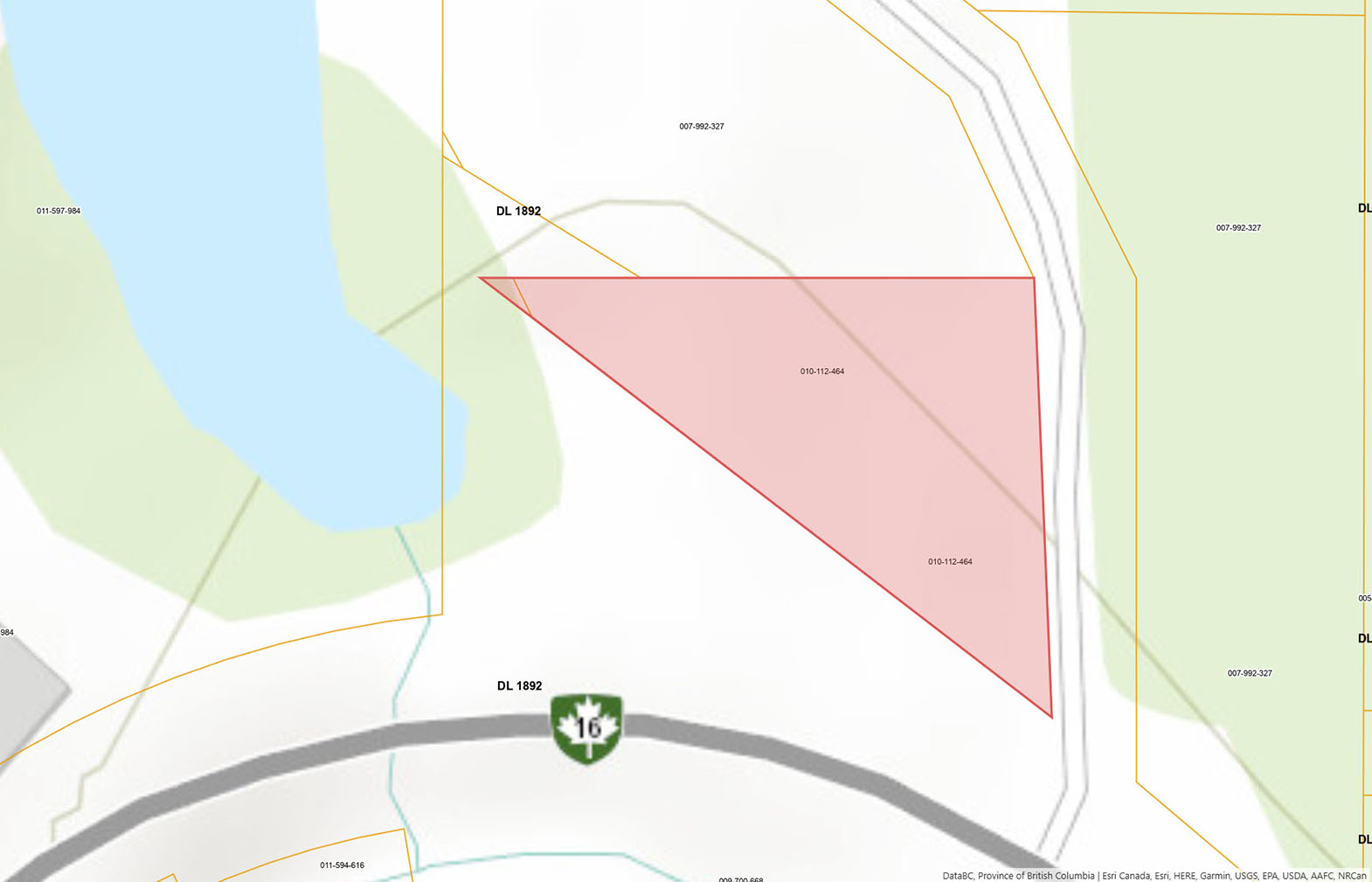
The 2025 property tax notice shows a total current tax levy of $14,982.78 on a taxable assessed value of $620,400 (Class 06 - Business). The property's PID number is 010-112-464, legally described as Plan PRP6069, Lot 1, DL 1892.
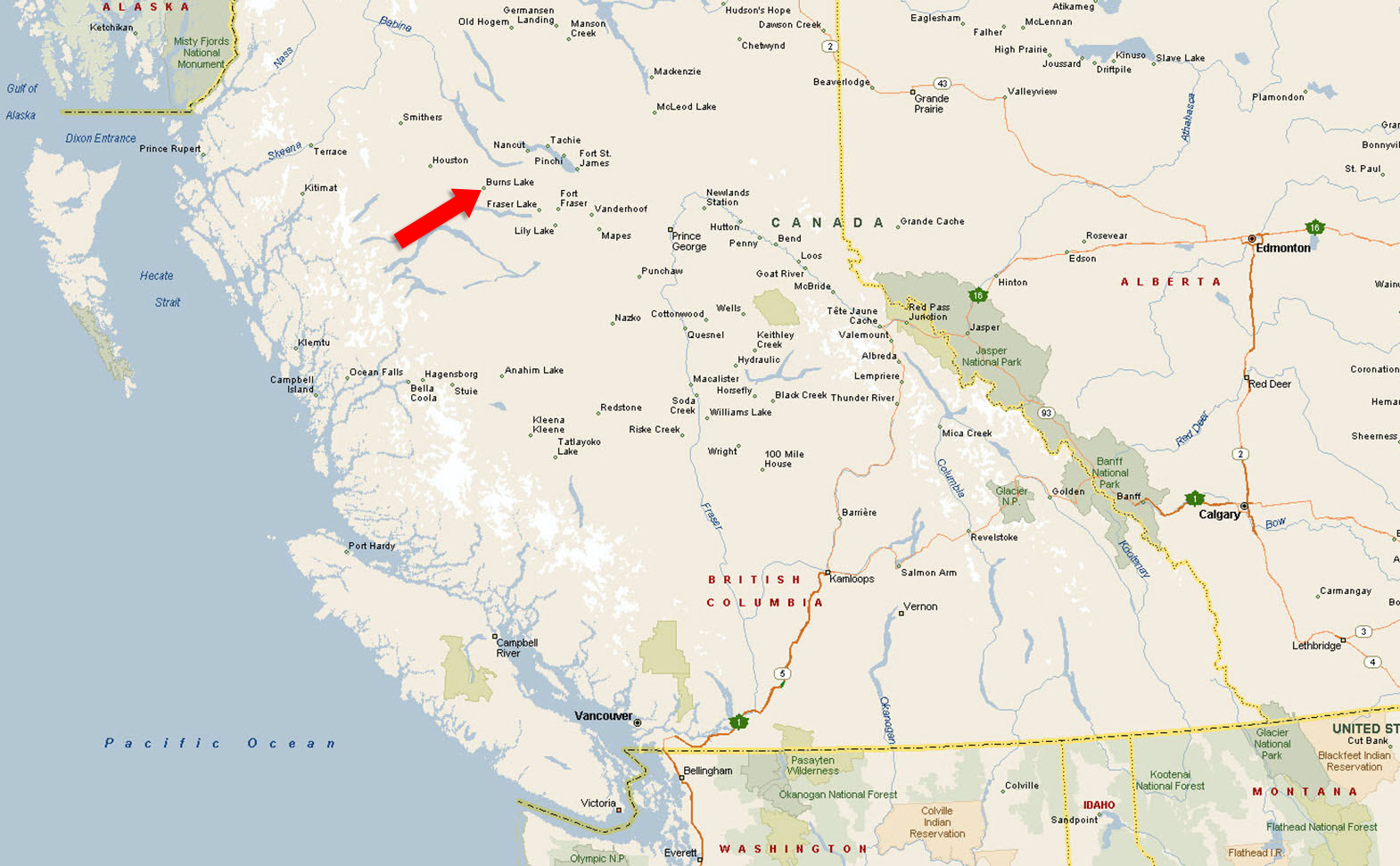
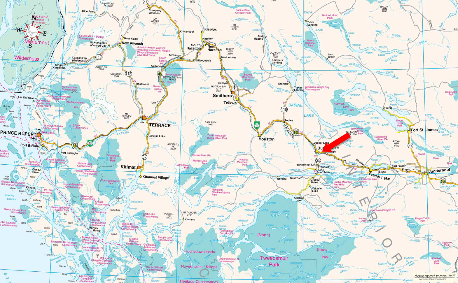
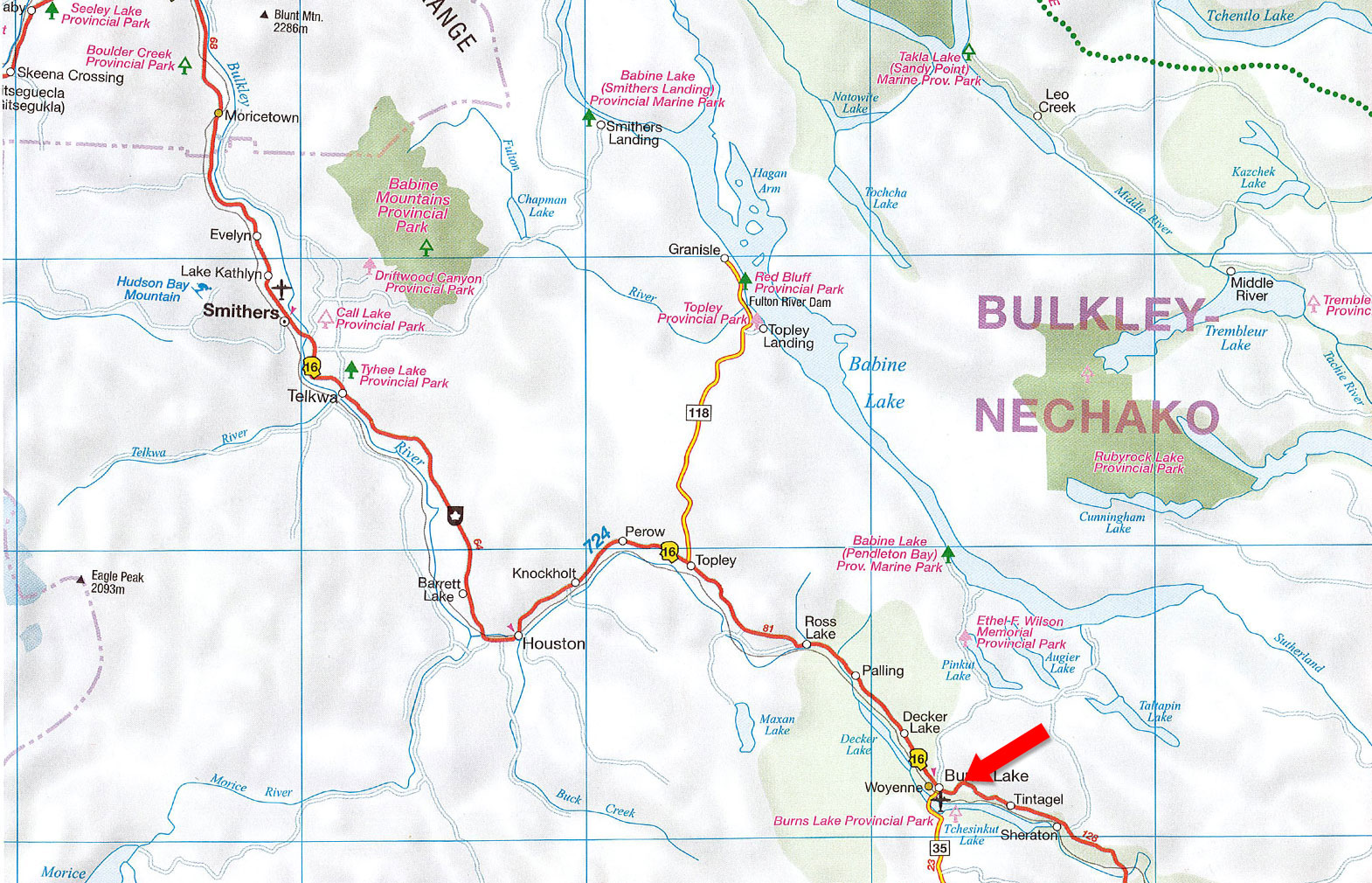
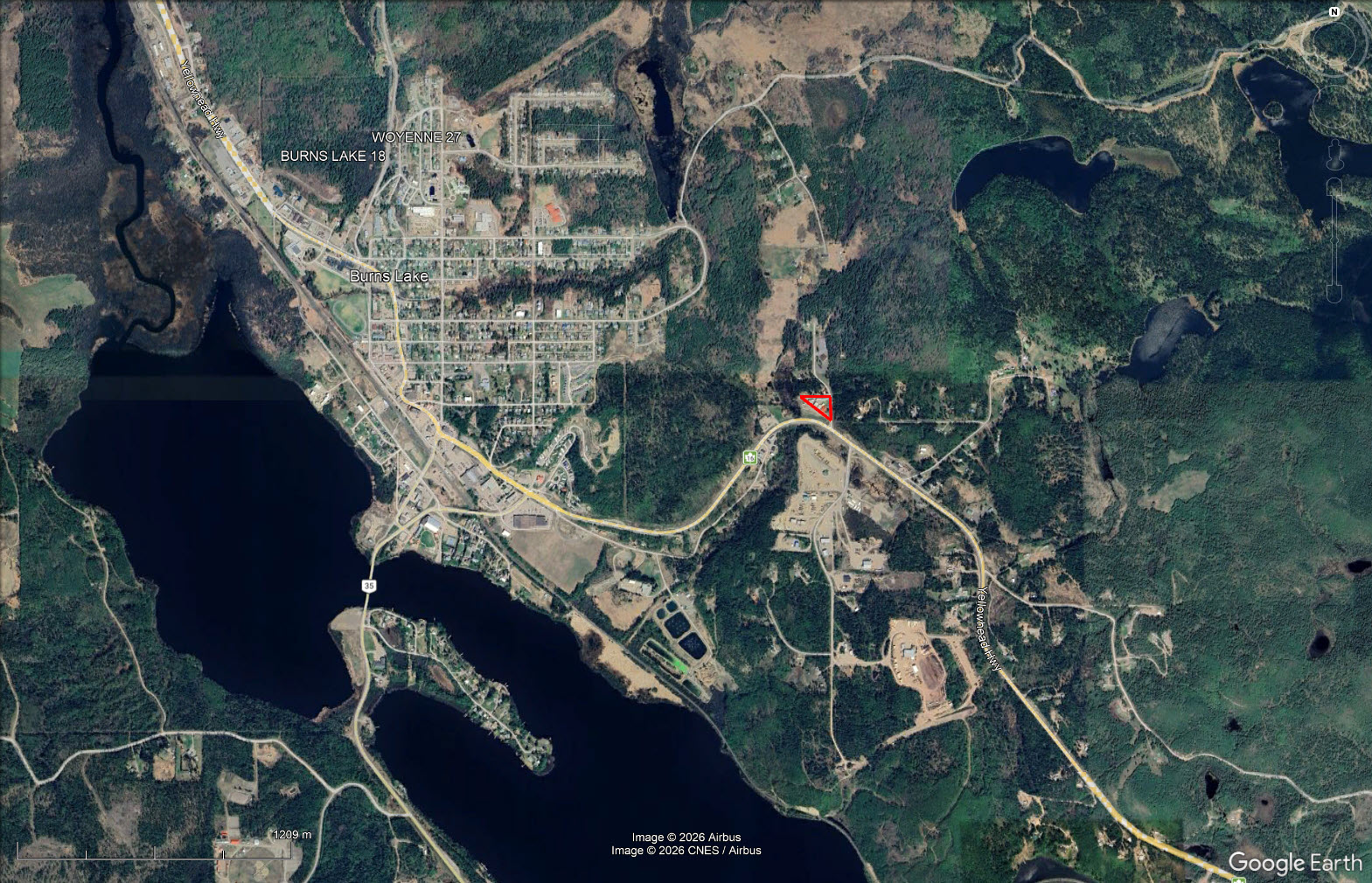
Burns Lake is located along the Yellowhead Highway (Highway 16) in the Bulkley-Nechako region of north-central BC, roughly midway between Prince George and Smithers. The property's direct highway frontage provides access to significant daily traffic volume serving the surrounding region, including resource industries, First Nations communities, recreational destinations, and the broader Lakes District.
905 E Highway 16 - Burns Lake, BC
Burns Lake is a incorporated village of approximately 2,000 residents situated on the Yellowhead Highway (Highway 16) in north-central British Columbia, roughly 230 kilometres west of Prince George and 145 kilometres east of Smithers. While the village itself has a population of around 2,000, it functions as the primary supply and service centre for a much larger trade area of approximately 7,000 people in the surrounding Lakes District, and sits within the Regional District of Bulkley-Nechako, which serves a regional population of approximately 13,000. The village has been an incorporated municipality since 1923 and is home to the head offices of the Regional District of Bulkley-Nechako, adding an element of administrative and institutional stability to the local economy.
The regional economy is anchored by forestry, which remains the dominant industrial driver. Pellet plants and lumber mills are among the largest employers in the area, and the broader Nechako region has a well-established labour force with experience in forestry, mining, transportation, construction, and manufacturing. Mining has historically been significant in the Lakes District, with major operations producing copper, molybdenum, gold, and silver, and workers from Burns Lake continue to commute to active mining projects in the broader region. Agriculture and tourism round out the economic base, with the 2019 Lakes District Economic Development Strategy identifying both sectors as priorities for diversification and long-term growth.
Tourism is a meaningful and growing contributor to the local economy. Burns Lake serves as the gateway to Tweedsmuir North Provincial Park and is internationally recognized by the International Mountain Biking Association as Canada's first IMBA Ride Centre, with over 63 kilometres of trails on Boer Mountain drawing visitors from across Canada and beyond. Sport fishing, hunting, fly-in wilderness tours, and access to some of BC's largest freshwater lakes make the region a year-round outdoor destination. Annual events including the Aboriginal Day Celebration—the second largest in BC—and the Burns Lake Performing Arts Festival bring additional regional and provincial traffic through the community.
Highway 16, the Yellowhead Highway, is the economic lifeline of the region, connecting Burns Lake to Prince George, Smithers, Prince Rupert, and the broader national highway network. The Canadian National Railway mainline also runs through the village, supporting freight movement critical to the forestry sector, while VIA Rail provides weekly passenger service on the Jasper–Prince Rupert route. This multi-modal transportation infrastructure makes Burns Lake a practical location for distribution, logistics, and supply operations serving the surrounding resource industries and communities. The village's business district benefits from the fact that Highway 16 passes directly through the commercial core rather than bypassing it, ensuring that travellers and regional residents are consistently channelled past local businesses—a meaningful advantage for any highway-fronting commercial property.
54°13'41.98"N and 125°44'4.35"W
$14,982 (2026)
M1 - Light Industrial
LOT 1 DISTRICT LOT 1892 RANGE 5 COAST DISTRICT PLAN 6069 EXCEPT PLAN 8117
PID 010-112-464
Multiple Listing Service®
 +8 maps
Our property descriptions and geographical information are taken from the BC Assessment Authority, Land Titles Office, government maps and other sources. While LandQuest® does not guarantee the information, we believe it to be accurate, but should not be relied upon without verification. This communication is not intended to cause or induce breach of an existing agency agreement.
Burns Lake
 11℃
11℃
11℃
11℃