


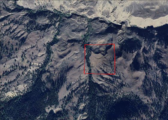
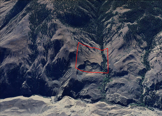
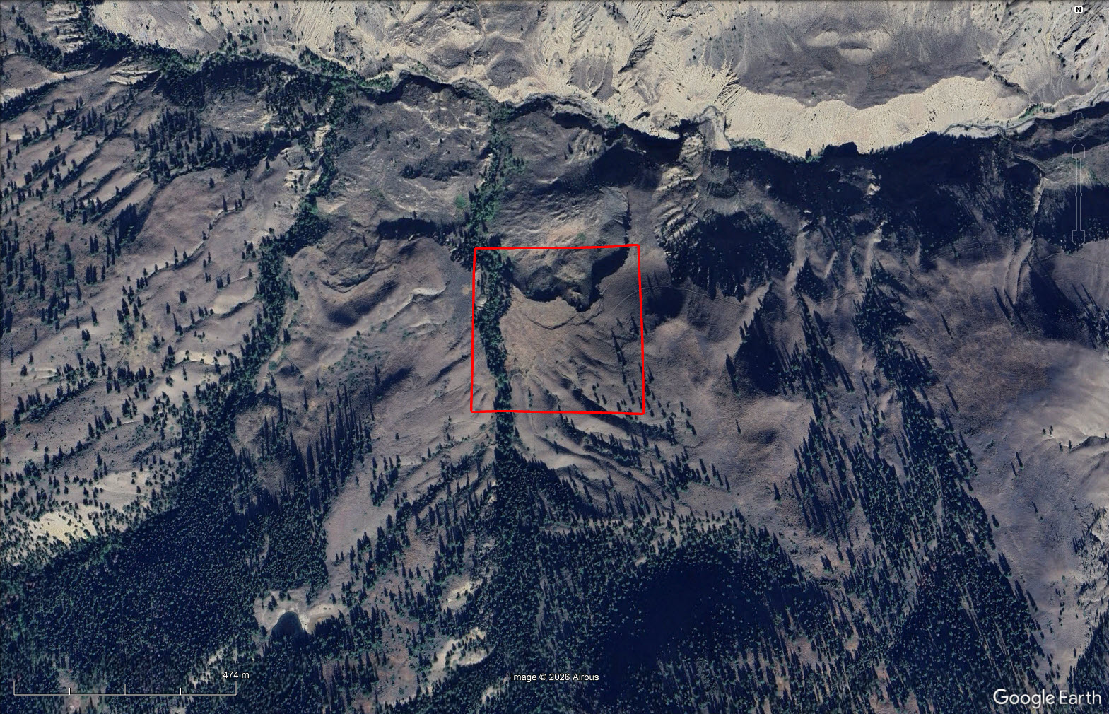
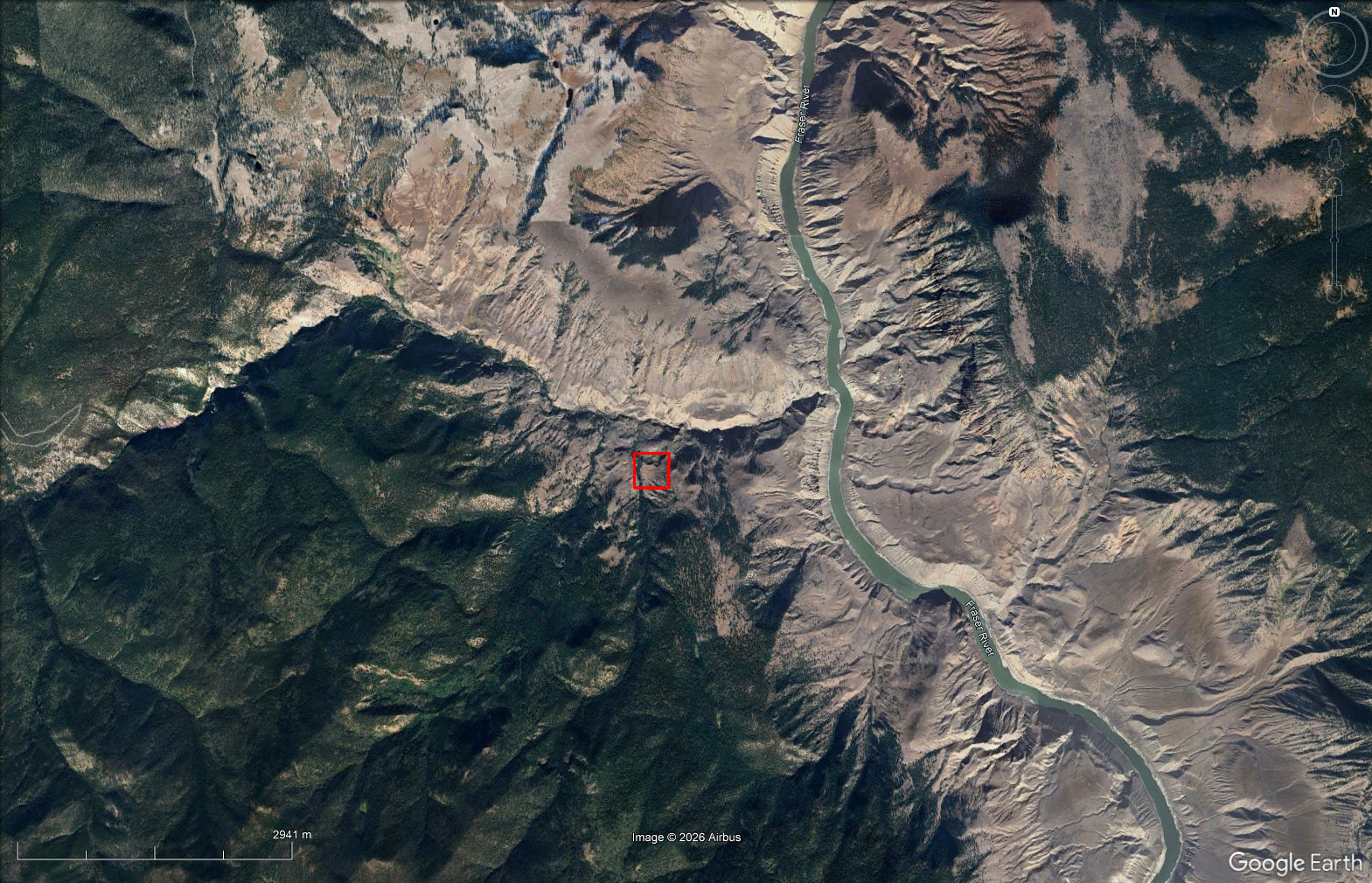
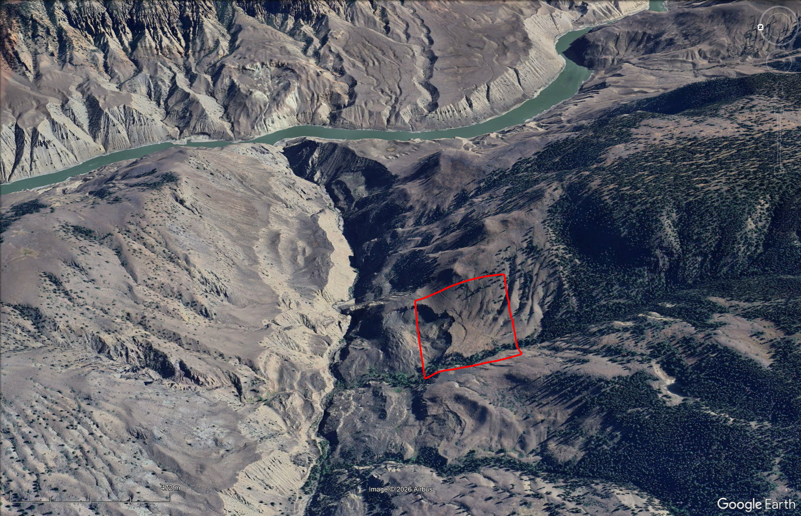
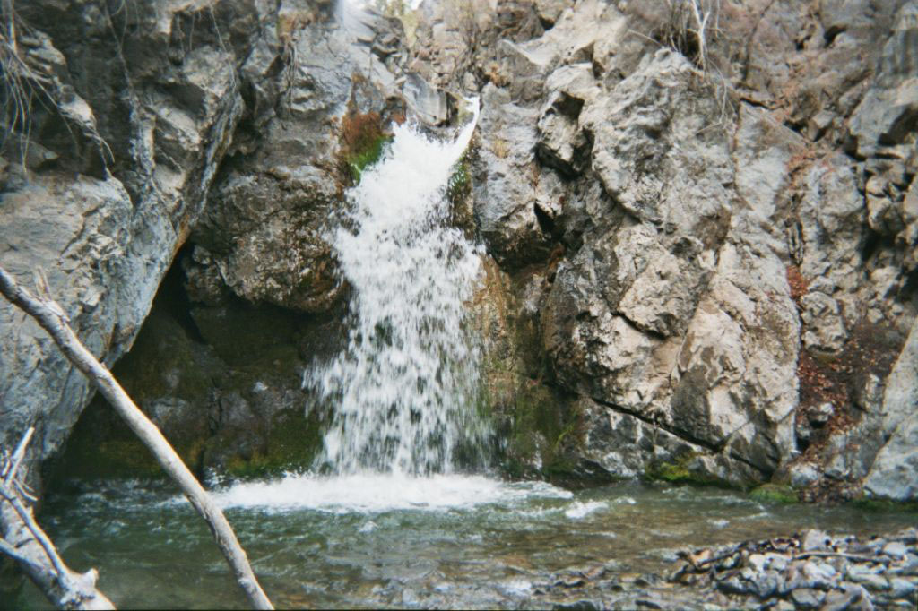
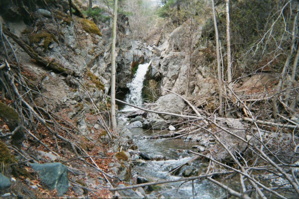
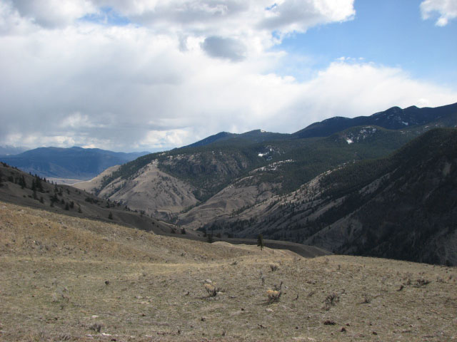
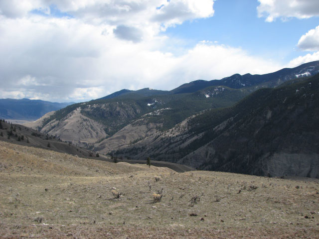
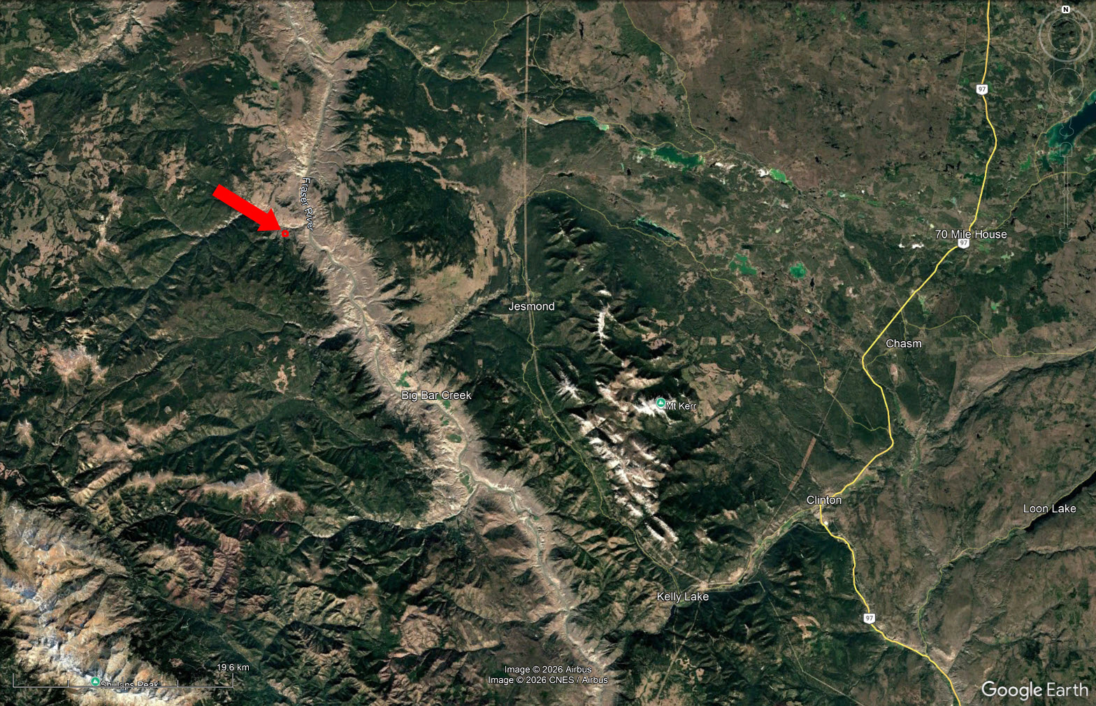
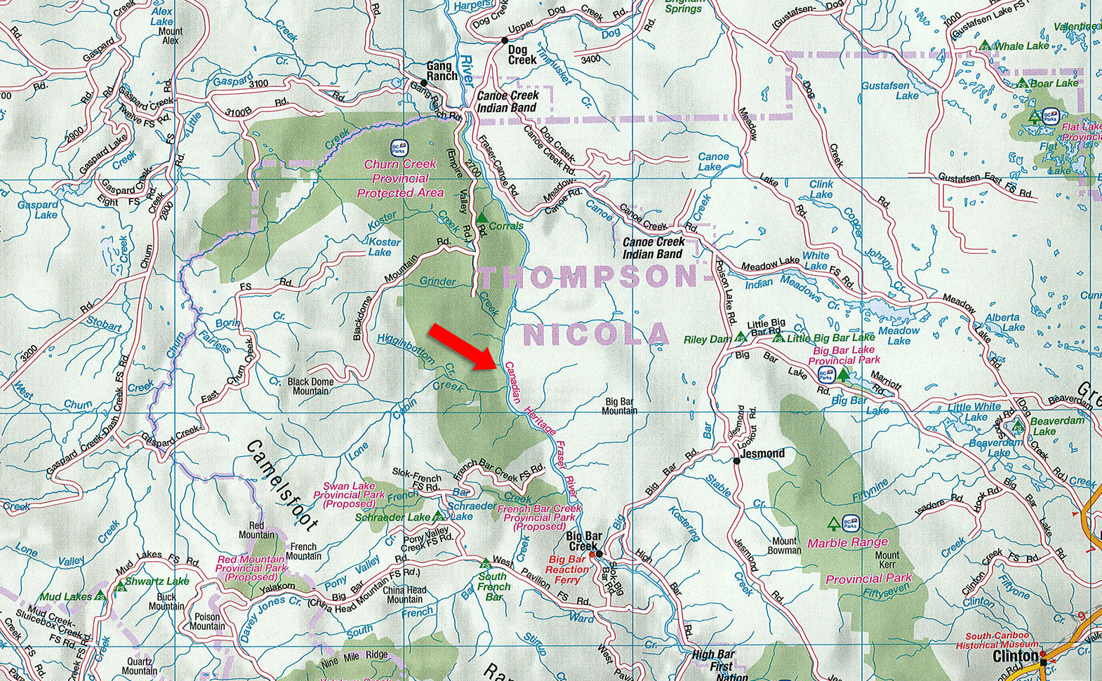
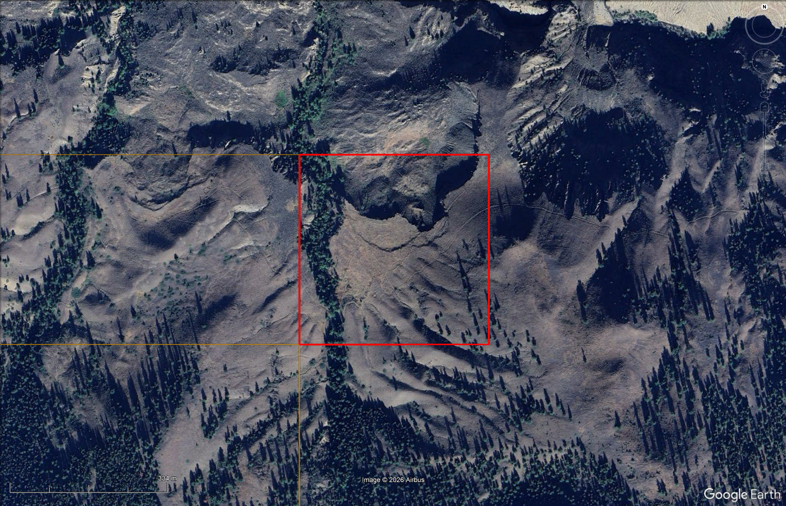
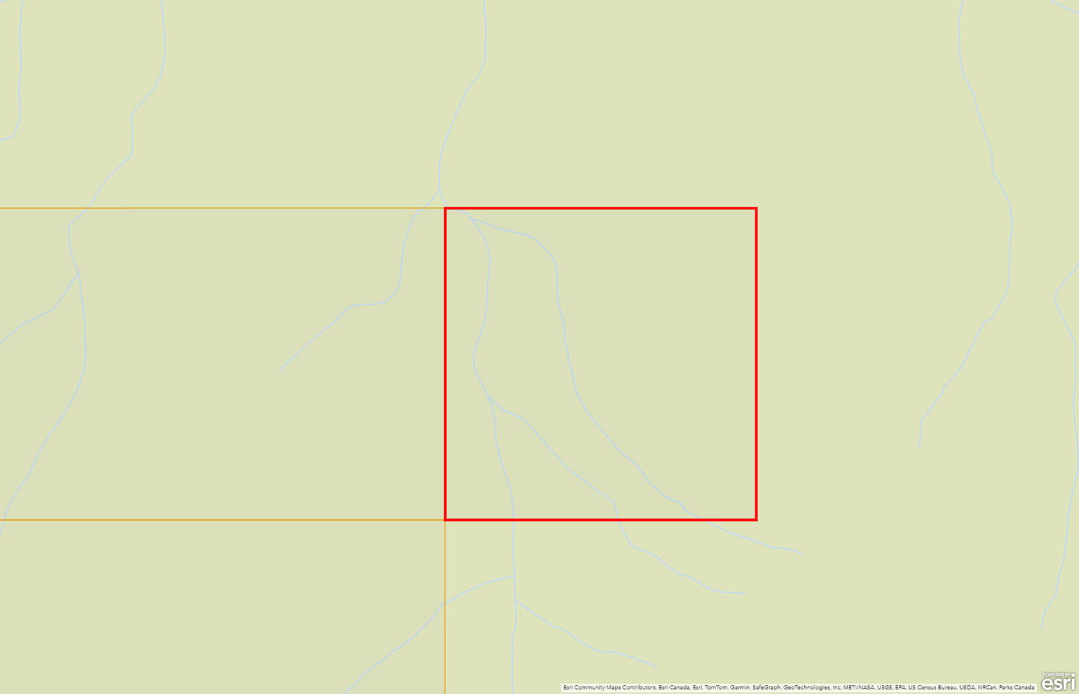
Set at the junction of Lone Cabin Creek and Simon’s Creek, this rare 40-acre holding is steeped in British Columbia ranching and gold-prospecting history, with Simon’s Creek providing a reliable spring-fed water source. Access is traditionally gained on horseback through rugged mountain terrain.

 +21 photos

For true adventurers and outdoorsmen only.
Set at the dramatic junction of Lone Creek and Simon’s Creek, this rare 40-acre holding is steeped in British Columbia ranching and gold-prospecting history. Simon’s Creek transects the property and is spring-fed from the surrounding mountains, providing a reliable, cold-water source that has shaped the land for generations.
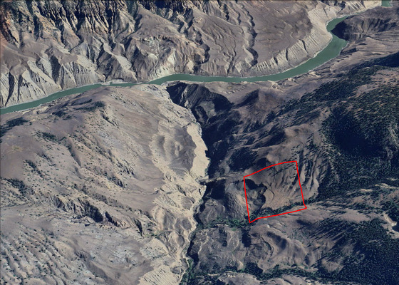
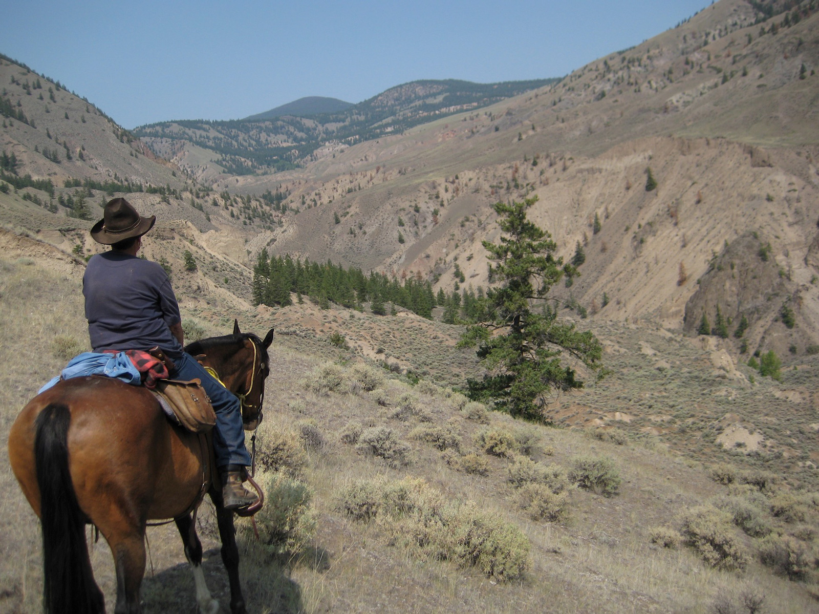
Access has traditionally been gained on horseback, trailing in from the south with a staging area at the Schraeder Lake Recreation Site. The journey takes approximately two to three hours, winding through rugged mountain terrain and old-growth forest—an approach that preserves the property’s seclusion and authentic backcountry character.
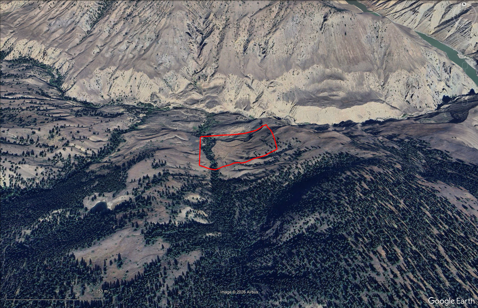
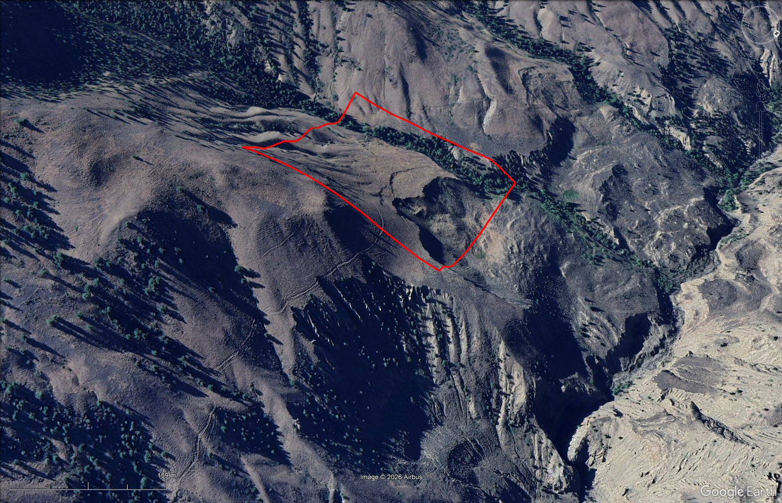
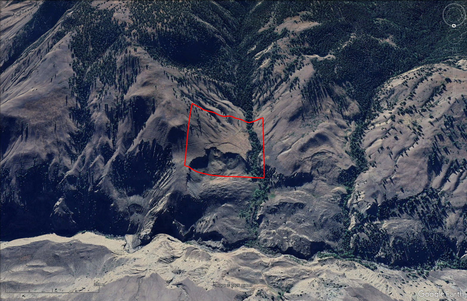
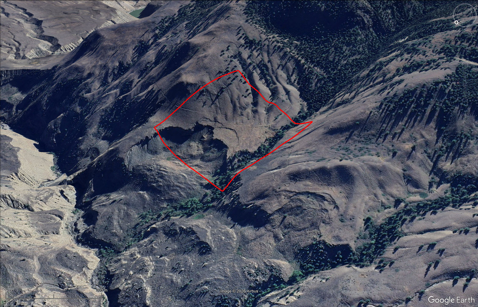
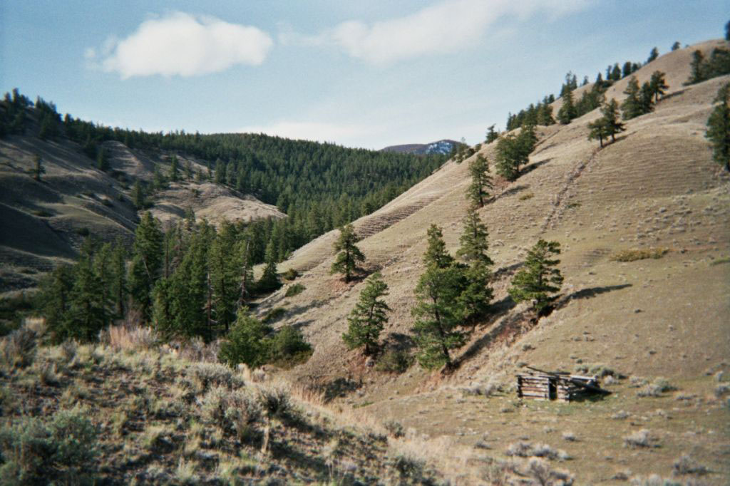
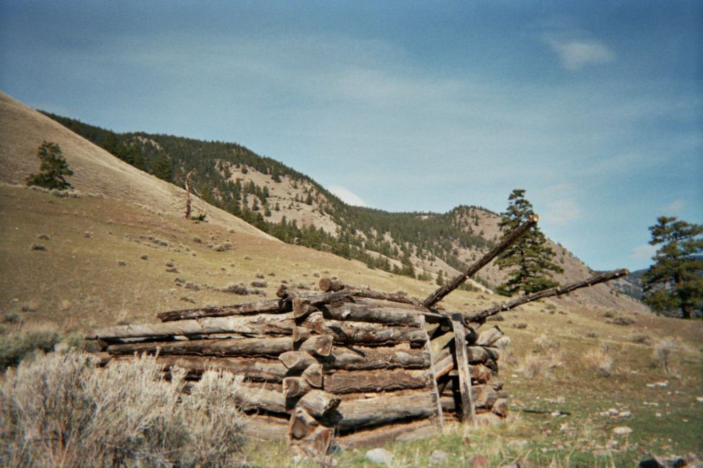
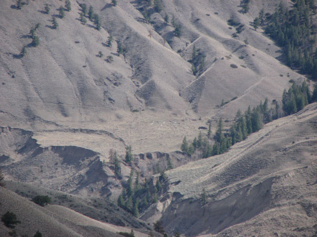
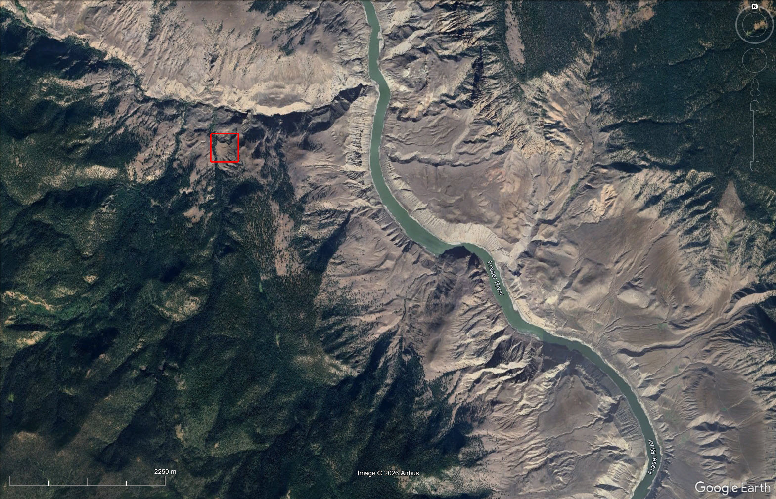
Historically, this land formed part of the legendary Empire Ranch, once one of British Columbia’s most expansive cattle operations. In later years, the property was owned by Simon Phillipine, a prospector who worked Simon’s Creek and packed gold out to Lillooet. Remnants of that era remain today, including the skeleton of two old cabins and a tack room located on a lower bench of the property, tucked beneath a dramatic 50 ft rock drop—quiet markers of a working frontier past. The land itself features two flatter benches positioned on the east and west sides of the creek, offering usable terrain within an otherwise rugged landscape. The property is bordered by Crown land on three sides and lies within the Churn Creek Protected Area, a provincially recognized landscape valued for its grasslands, wildlife habitat, and intact ranching heritage.
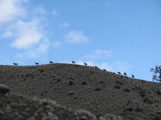
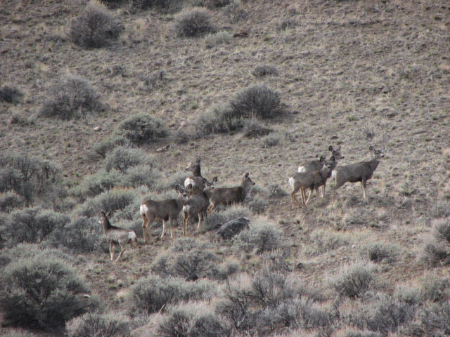
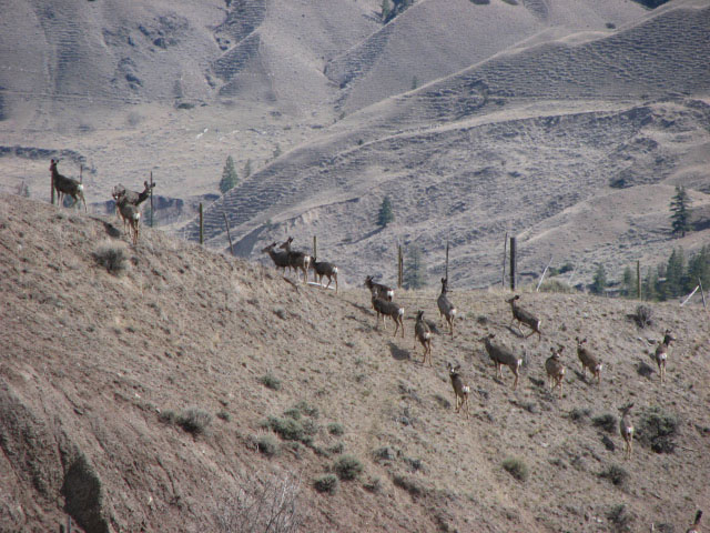
Wildlife is abundant, with bighorn sheep commonly observed in the area and excellent mule deer hunting throughout the surrounding range. Registered water licences associated with the property reflect its historic use and connection to Simon’s Creek, reinforcing the importance of water access in this remote setting.
This is a rare opportunity to acquire a piece of British Columbia history—where ranching, gold prospecting, and wilderness converge—set within a protected landscape that has changed little over the last century.
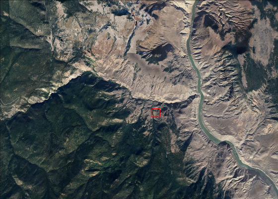
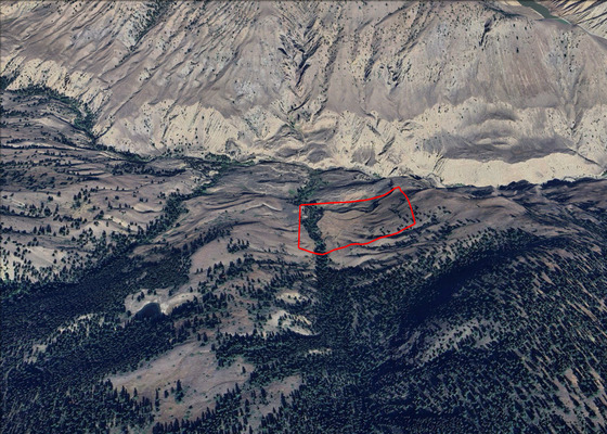
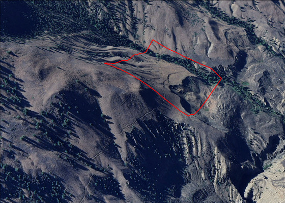
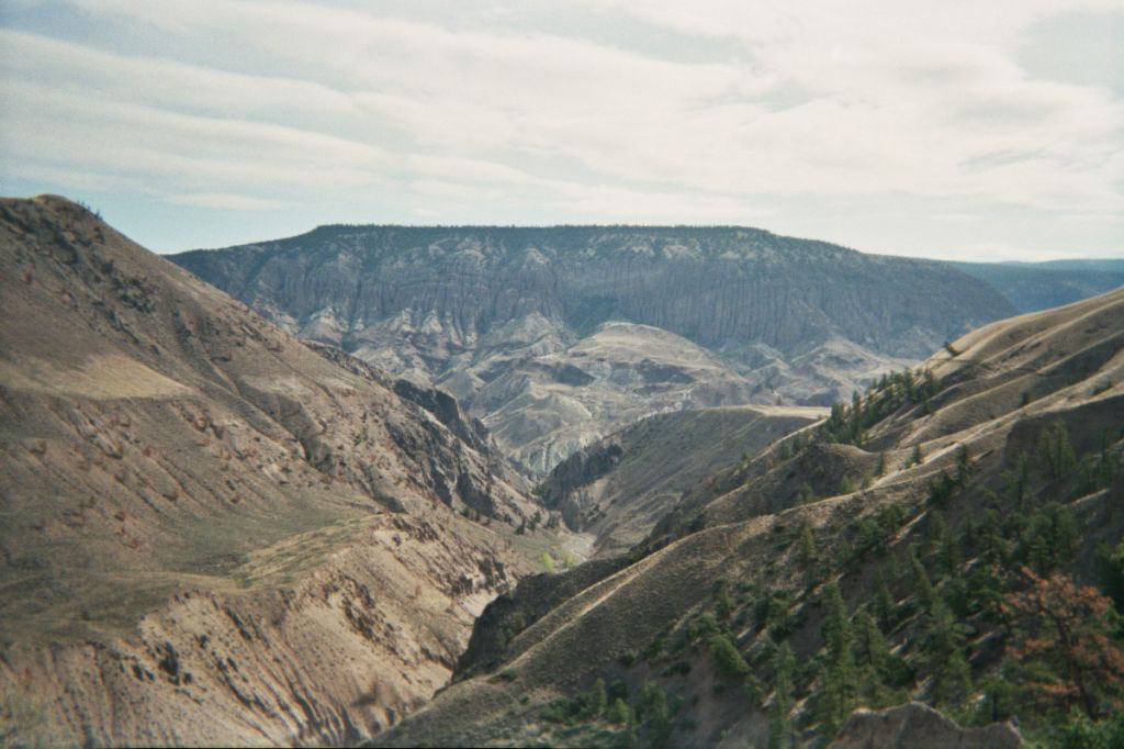
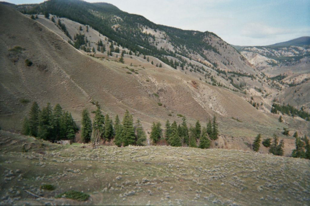
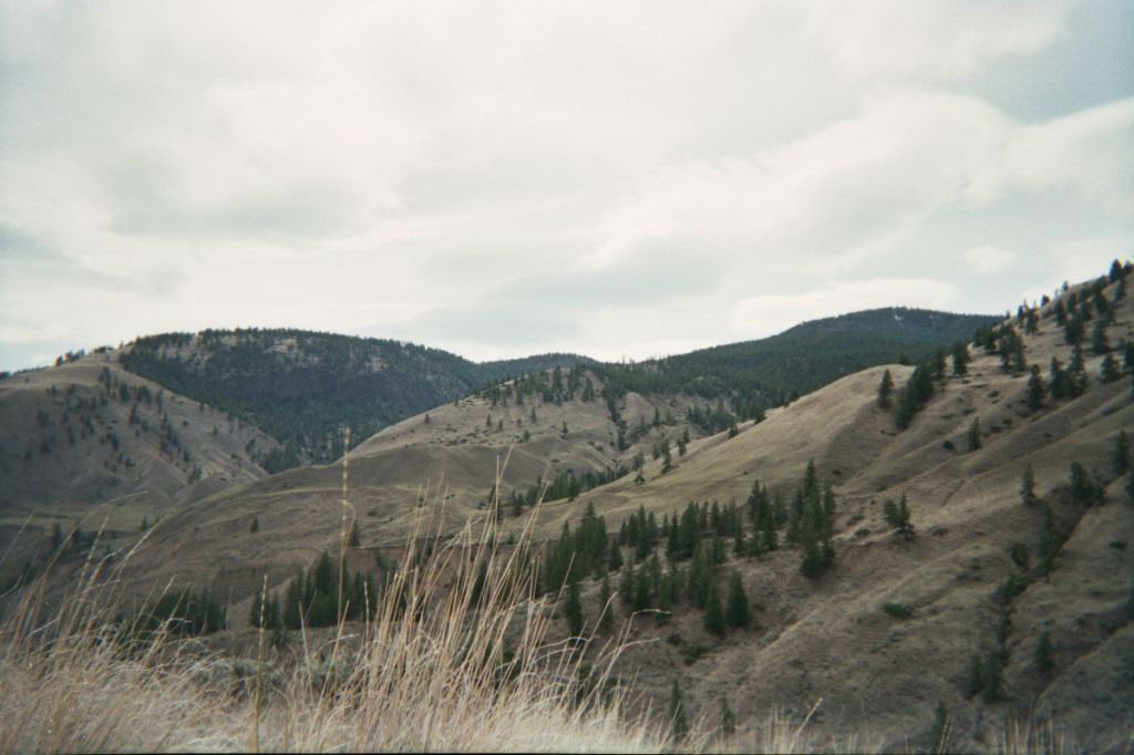
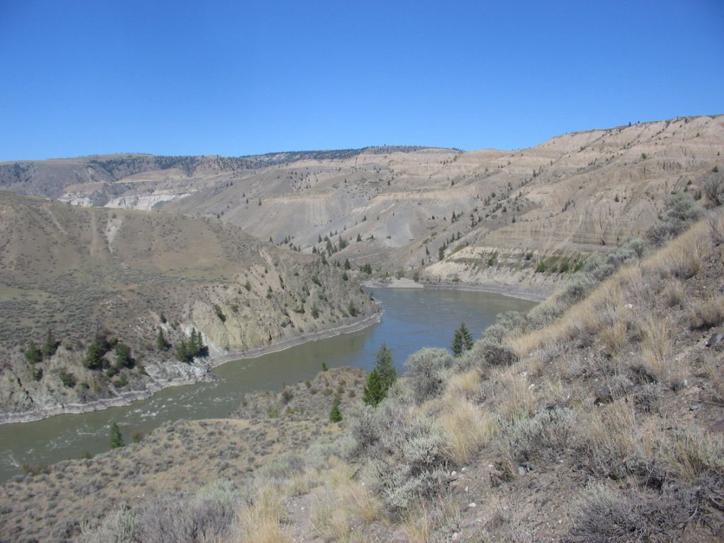
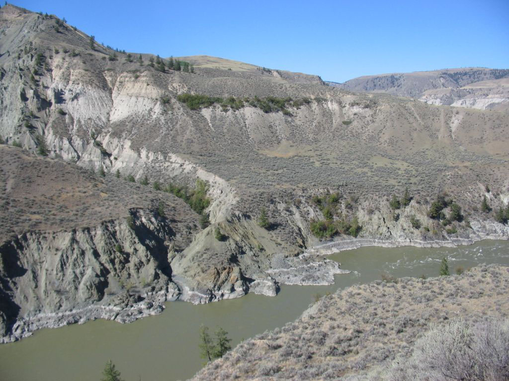
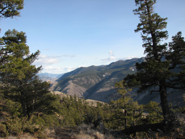
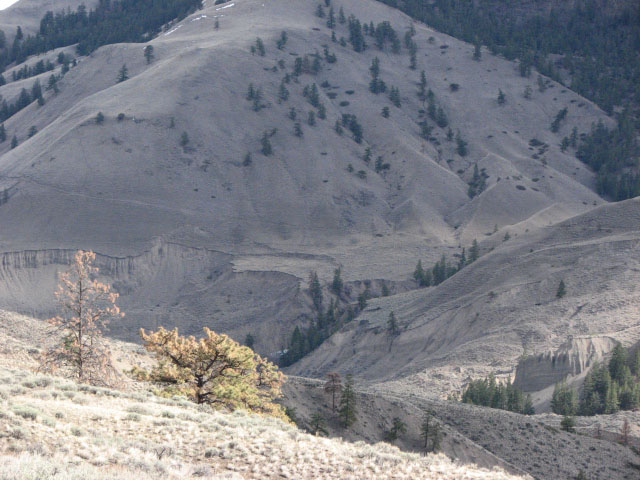
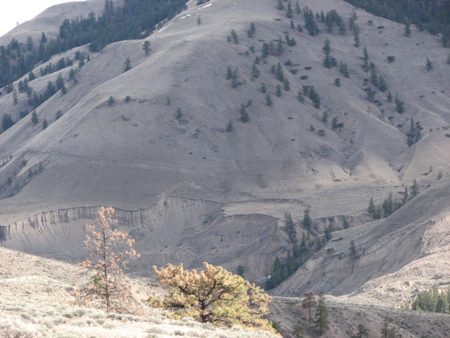
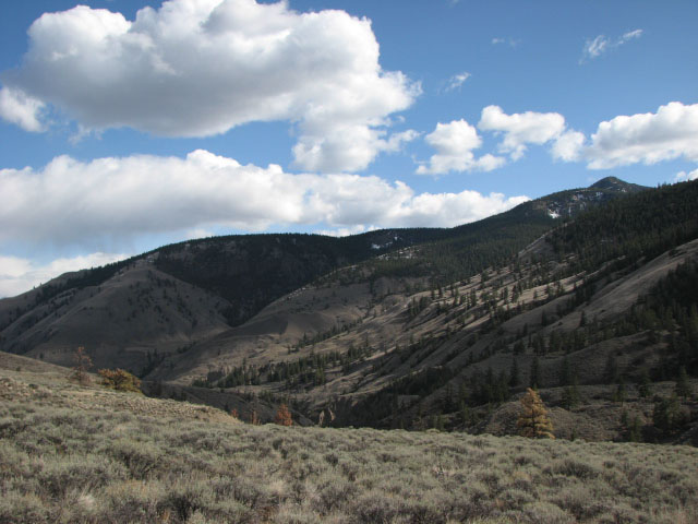
*** Please note that the photos are from the general area surrounding the property and are not of the property specifically. ***
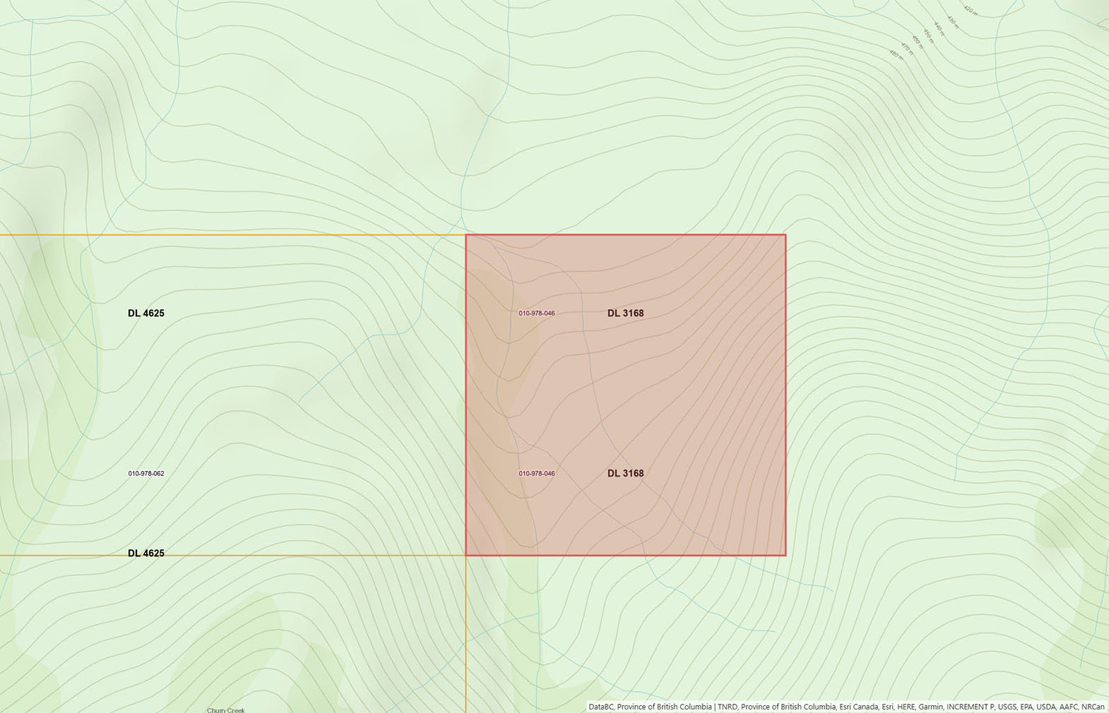
DL 3168 - Churn Creek Protected Area
Contact the listing agent. Do not attempt to access property without contacting agent. Access to property at individual’s own risk.
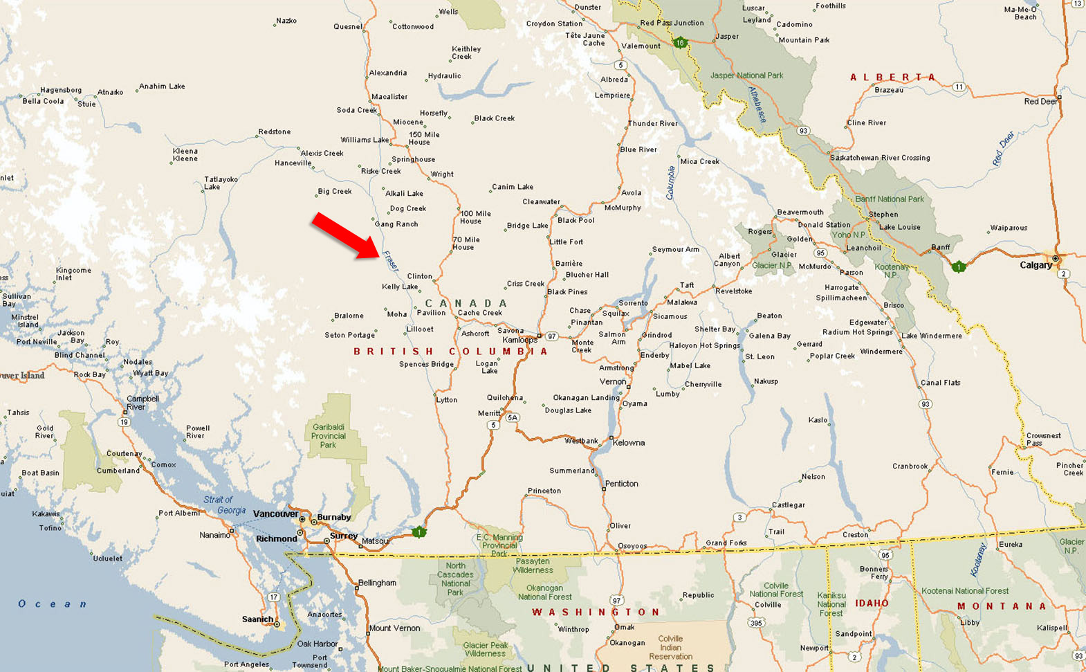
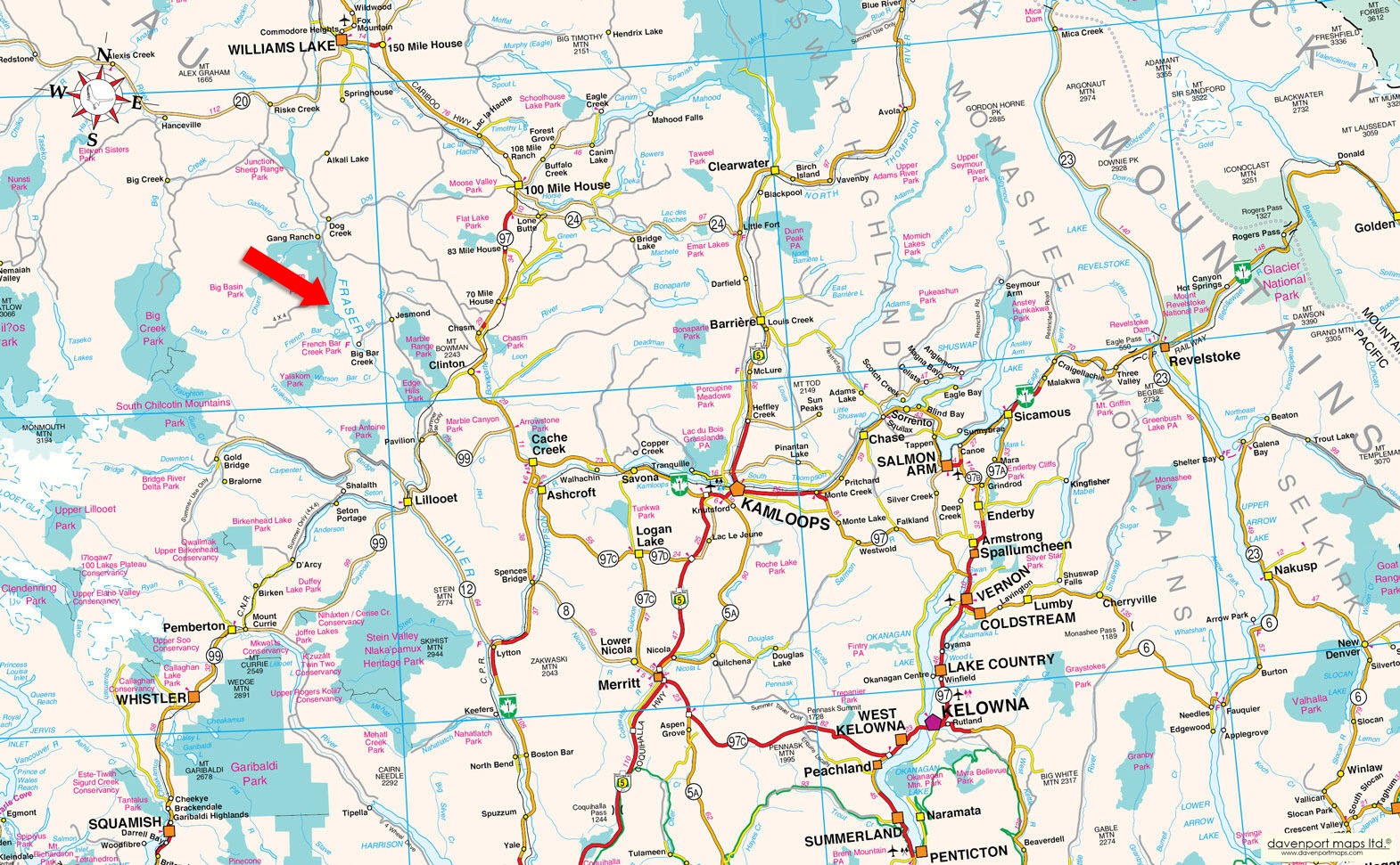
Located within the Churn Creek Protected Area, this area is one of British Columbia’s most intact and historically significant grassland landscapes, encompassing roughly 36,700 hectares along the west side of the Fraser River, approximately 60 km southeast of Williams Lake. The region is characterized by dramatic canyon terrain, open benchlands, and spring-fed creeks, supporting rare grassland ecosystems and abundant wildlife including mule deer and California bighorn sheep. Long valued for its ranching heritage, ecological importance, and limited development, Churn Creek remains a remote and lightly touched landscape that has changed little over the past century.
Vegetation within the Churn Creek Protected Area is dominated by rare interior grassland ecosystems, representing one of the most intact and northerly examples of this landscape type in British Columbia. The area is characterized by drought-tolerant perennial bunchgrasses, sagebrush, and biologically rich soil crusts adapted to hot, dry summers and low precipitation. In higher elevations, cooler draws, and along creeks, vegetation transitions into open Interior Douglas-fir forests and riparian corridors with aspen, poplar, and willow, creating a diverse mosaic of grassland, shrub-steppe, wetland, and forest habitats.
Recreation within the Churn Creek Protected Area is centered on low-impact, backcountry use in a remote and largely undeveloped landscape. The area is well suited to hiking, horseback travel, wildlife viewing, and dispersed backcountry camping along historic trails, open benches, and creek corridors. Seasonal hunting, birdwatching, photography, and quiet fishing opportunities further define the recreational character, appealing to self-reliant users seeking solitude and an authentic wilderness experience.
The Churn Creek region is one of the most historically significant landscapes in British Columbia’s Interior, shaped by the Fraser River gold rush beginning in 1858 and the subsequent Cariboo gold rush that drew thousands of prospectors inland through Lillooet and across the surrounding plateau. Creeks, benches, and drainages throughout the area were systematically worked by independent miners who traveled by horseback, establishing temporary camps and cabins as they followed gold-bearing watercourses into the backcountry. Simon’s Creek, which transects this property, was among those worked during this period, and the land later came under the stewardship of prospector Simon Phillipine, who packed gold out of the area using horses and relied on the creek’s cold, spring-fed water and nearby benches to support his operations. Remnants of this era remain directly on the property today, including the skeletal remains of two old cabins and a tack storage building tucked beneath a prominent rock outcrop, offering rare, tangible evidence of early gold-rush activity.
As placer mining declined in the late 19th century, the same grasslands, water sources, and access routes that sustained prospecting became the foundation of large-scale cattle ranching, culminating in the rise of the Empire Ranch. One of the largest and most influential ranching operations in British Columbia’s Interior, the Empire Ranch controlled extensive tracts of land across the Fraser River corridor and relied heavily on the Churn Creek area for seasonal grazing, trailing routes, and dependable water. This property formed part of that broader ranching system, contributing to a working landscape that supported cattle operations for generations and helped establish the Cariboo’s ranching economy. Together, gold mining and ranching shaped a frontier environment defined by isolation, self-reliance, and land stewardship—an imprint that remains clearly visible on this property and throughout the surrounding Churn Creek landscape today.
51°18'25.77"N and 122°16'12.91"W
Water Licence on Simons Creek - 10 acre feet per annum.
None.
None.
$418 (2026)
RL-1
DISTRICT LOT 3168 LILLOOET DISTRICT
PID 010-978-046
 +8 maps
Our property descriptions and geographical information are taken from the BC Assessment Authority, Land Titles Office, government maps and other sources. While LandQuest® does not guarantee the information, we believe it to be accurate, but should not be relied upon without verification. This communication is not intended to cause or induce breach of an existing agency agreement.
Gang Ranch
 6℃
6℃
 1℃
1℃