


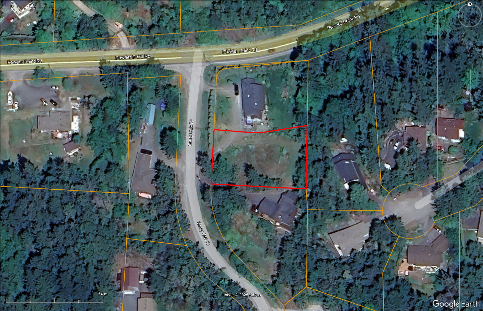
A peaceful, build-ready lot in beautiful Nanoose Bay. Municipal water and power available, with test hole completed for septic. Surrounded by natural beauty and close to community amenities.
Foreign Buyer Ban does not apply to this property


 +3 photos
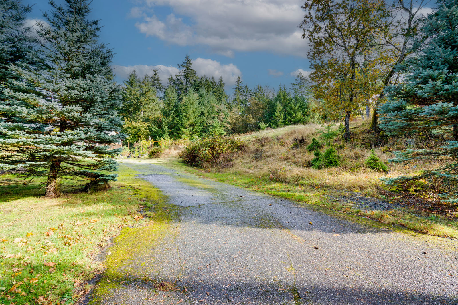
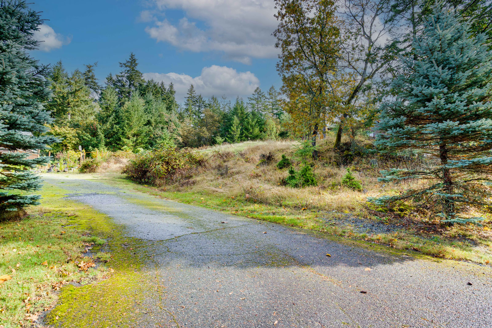
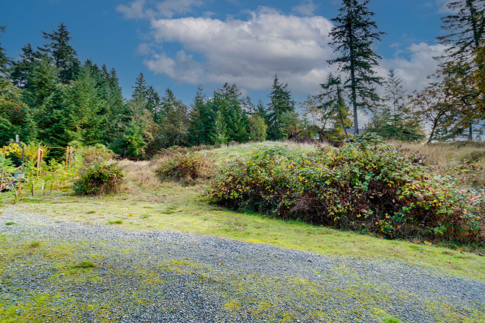


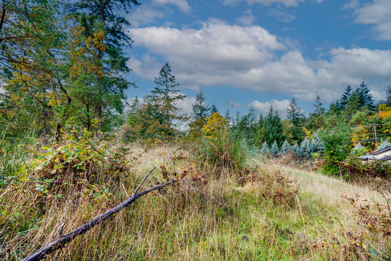
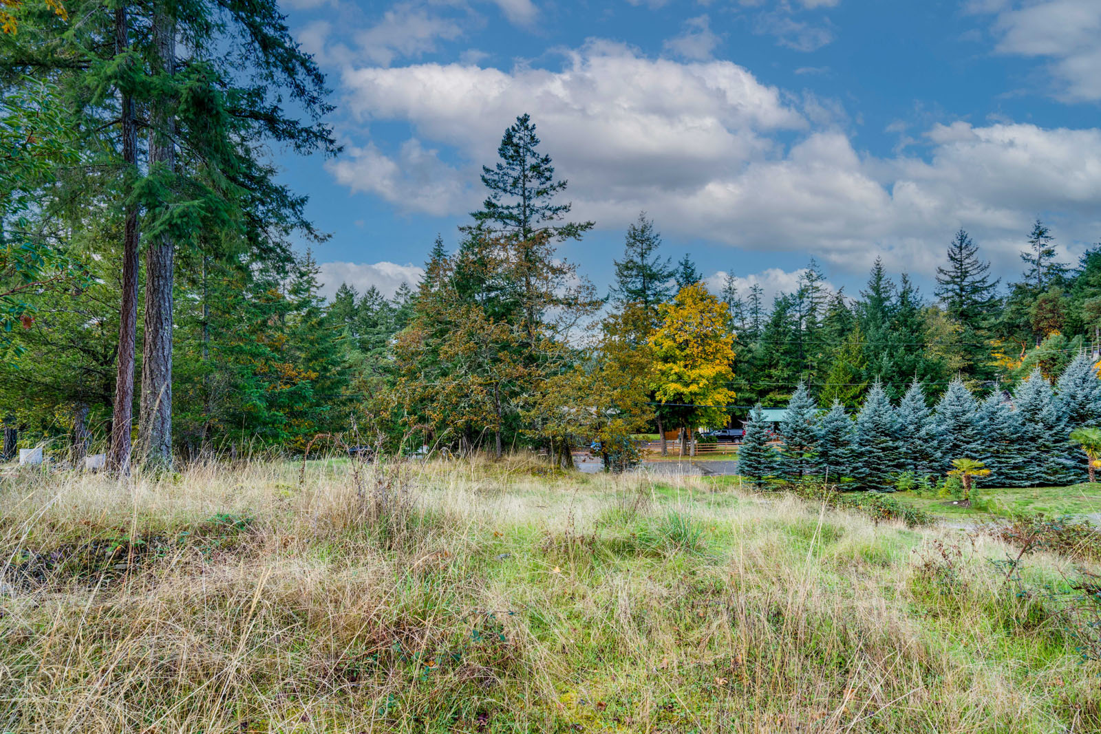
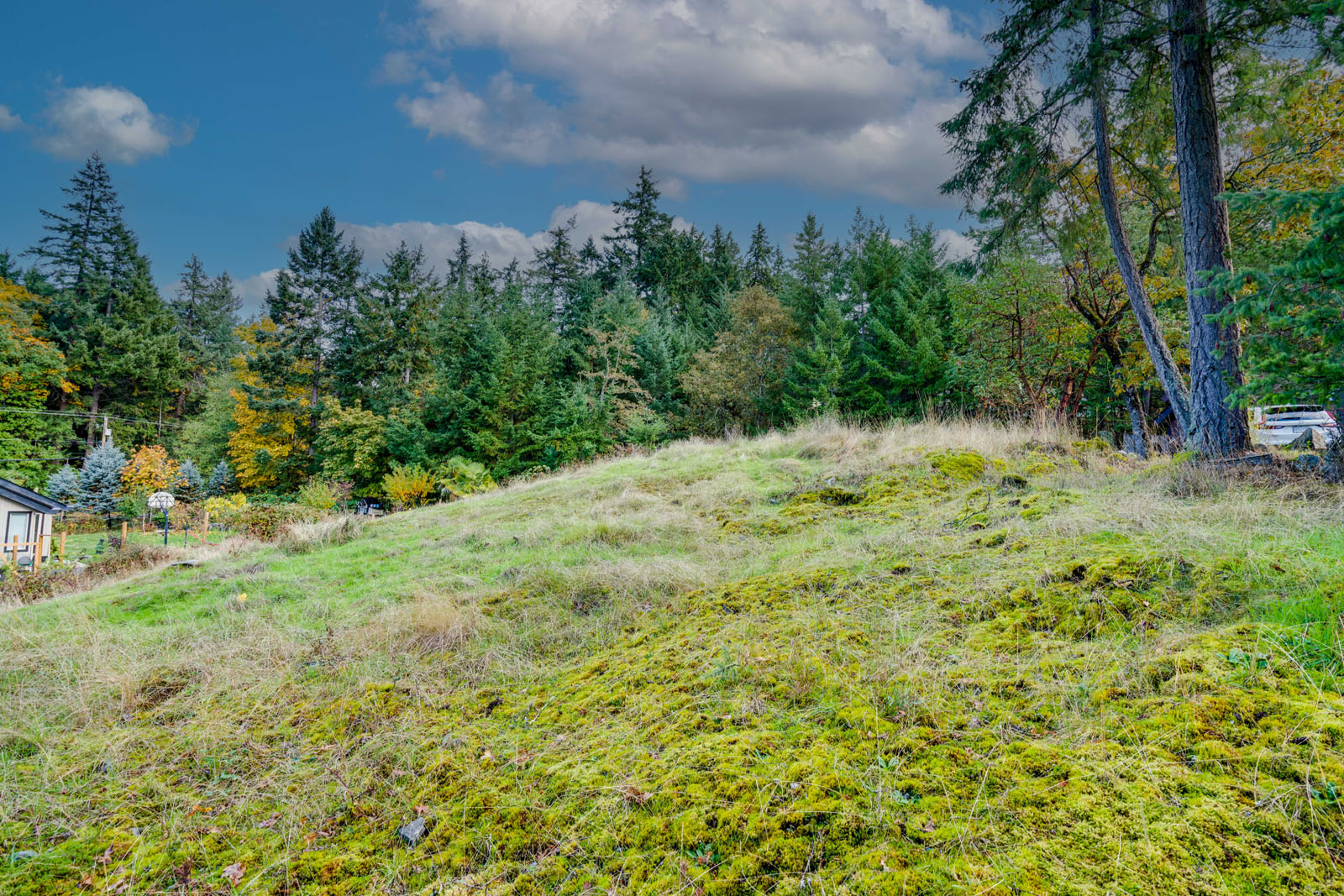
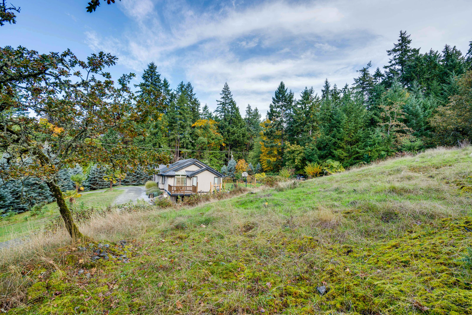
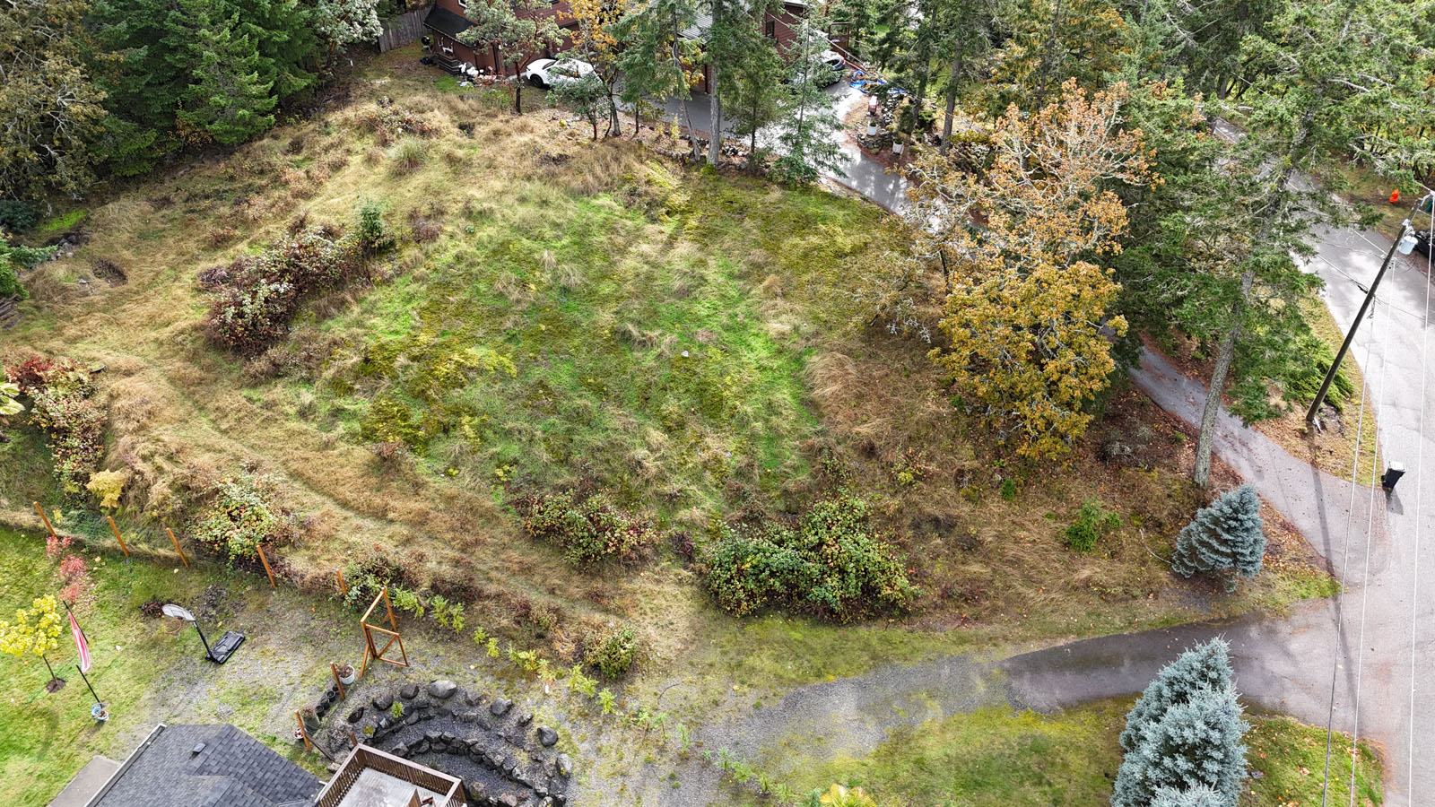
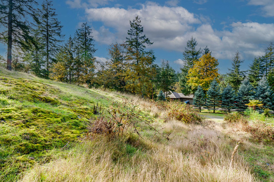
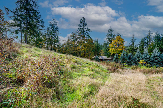
This peaceful parcel in the heart of Nanoose Bay offers a rare opportunity to build your dream home in one of Vancouver Island’s most desirable coastal communities. The lot features municipal water and hydro available at the lot line, and a test hole has already been completed for a proposed septic system. Its gentle slope and natural setting make it ideal for a variety of home designs, from single-level layouts to walk-out basements that follow the contours of the land. Families will appreciate that Nanoose Bay Elementary (K-7) is nearby, making it a convenient and sought-after option for local residents. The Nanoose Place Community Centre provides a welcoming hub for recreation and social connection, hosting fitness classes, community programs, and activities for all ages. Outdoor enthusiasts will enjoy Jack Bagley Community Park, recently upgraded with new tennis and pickleball courts, open field space, and picnic areas. This ready-to-build lot combines rural tranquillity with close proximity to Fairwinds Marina, the golf course, and the amenities of both Parksville and Nanaimo. Bring your vision to life and enjoy the relaxed West Coast lifestyle Nanoose Bay is known for.
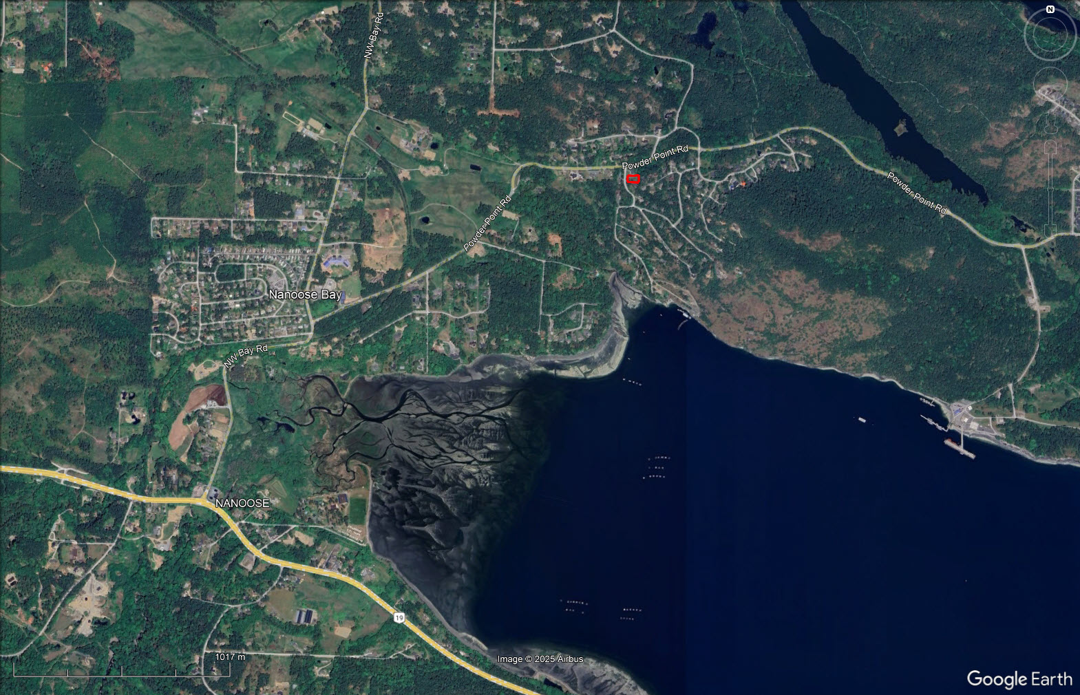
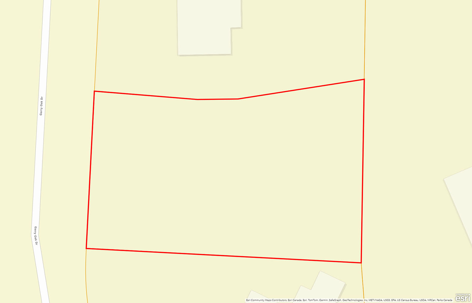
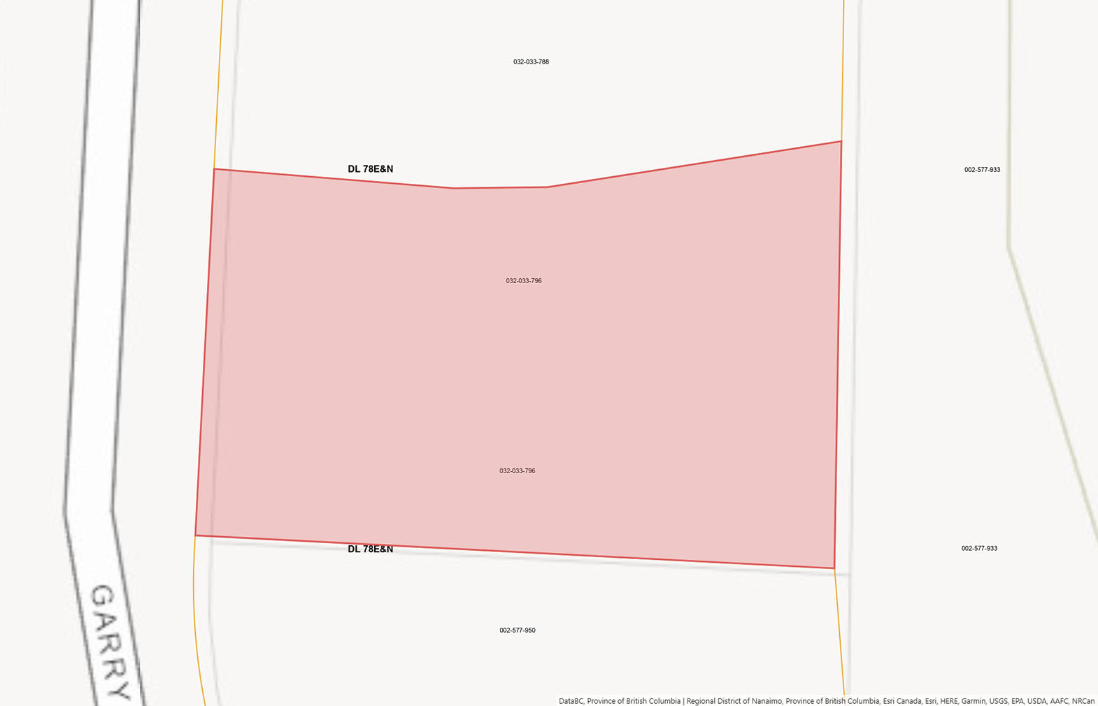
Lot B - 2310 Garry Oak Drive - Nanoose Bay - Vancouver Island
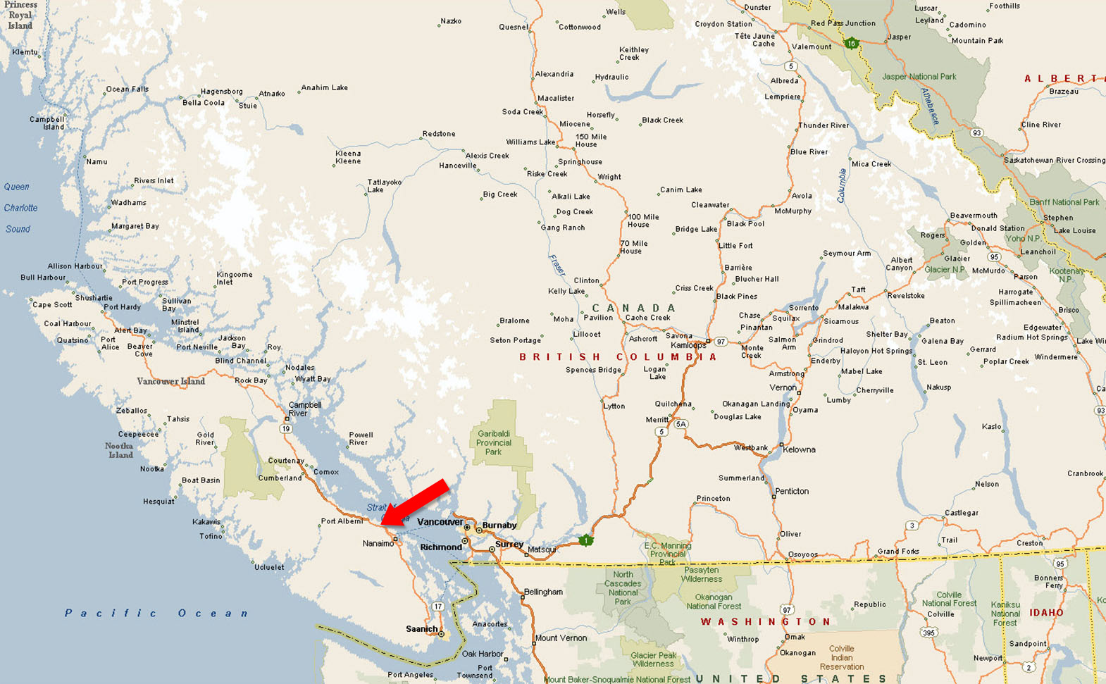
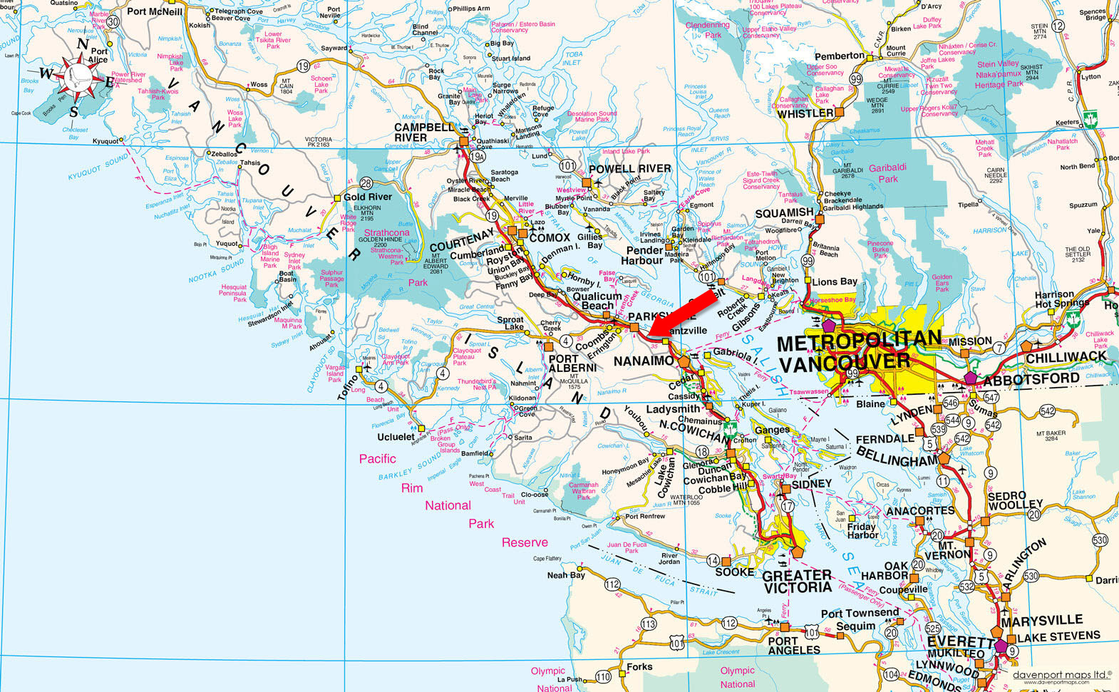
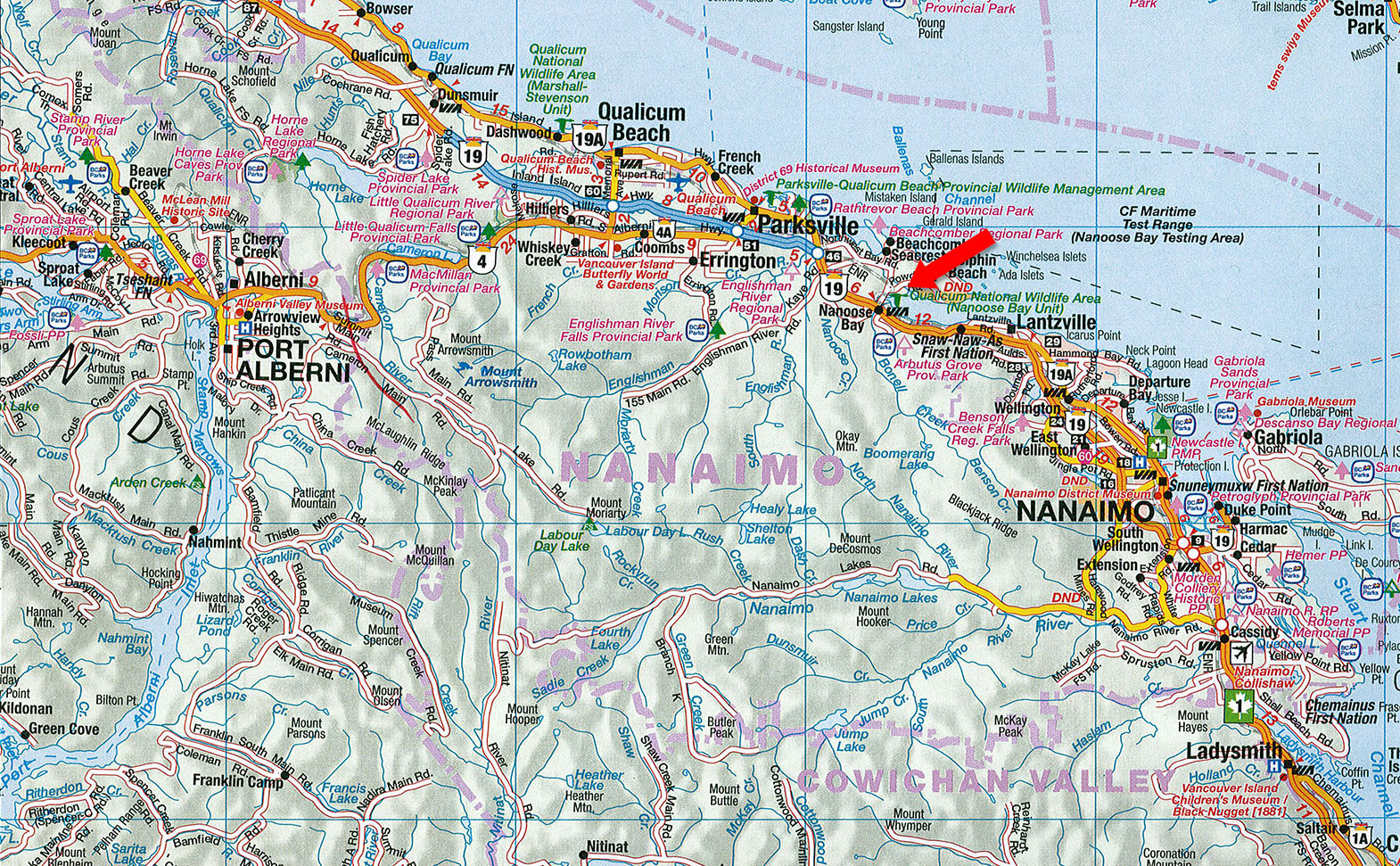
Vancouver Island encompasses 31,788 km2 from Victoria, BC’s capital on the southern tip to Port Hardy and from eastern Tahsis over to Campbell River.
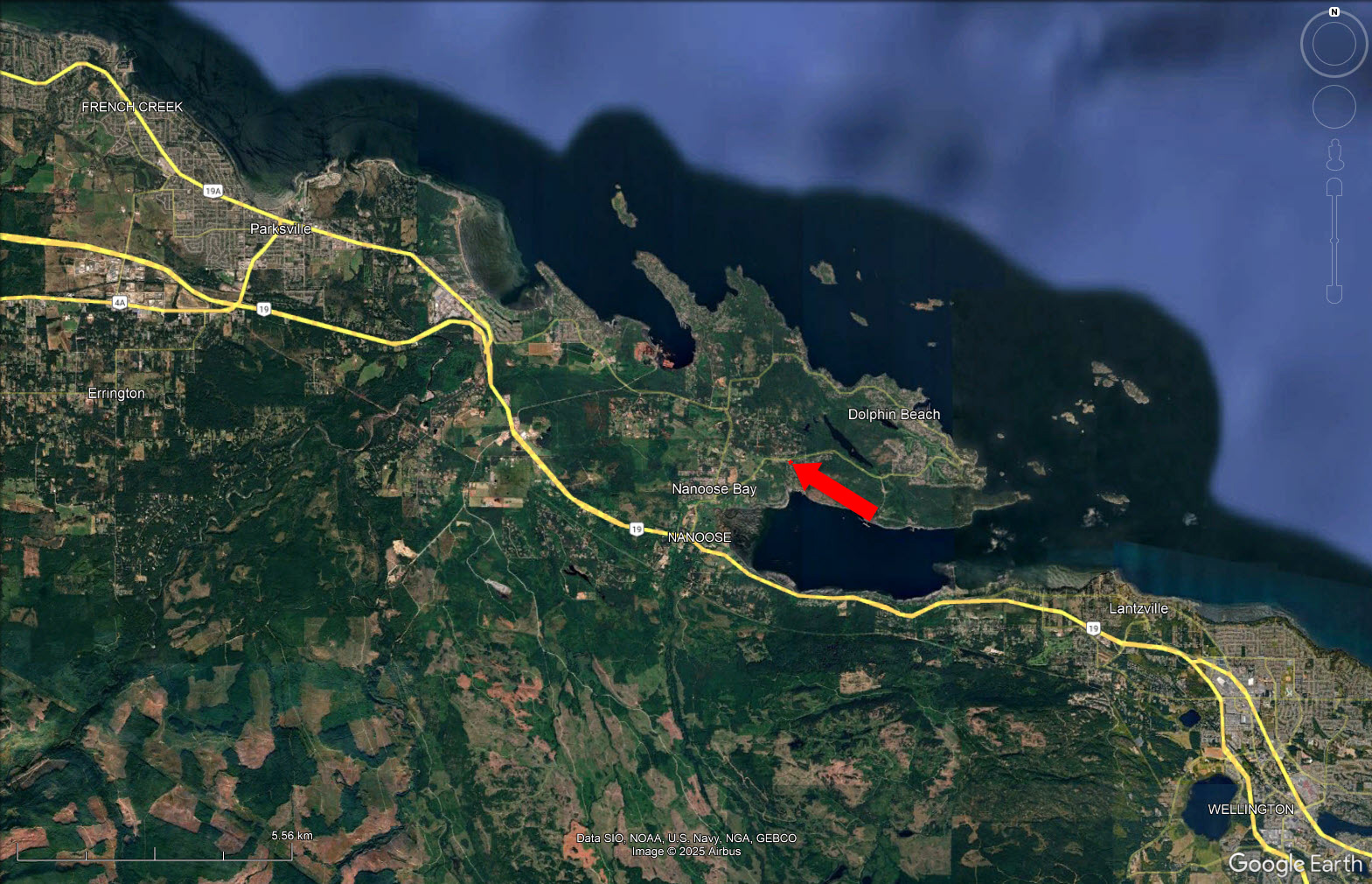
The Parksville Qualicum Beach area stretches along the sheltered Strait of Georgia on the Island's eastern shore from Nanoose Bay in the south to Deep Bay in the north a half-hour north of the ferry terminus in Nanaimo.
Nanoose Bay is a fishing oceanside village between Nanaimo and Parksville on the east coast of the Island. This rural community of close to 5,000 residents is the perfect spot for those looking to live in the country while having conveniences nearby. Nanoose Bay is home to various groups of people, such as families with children, retired couples, farmers, fishermen, and artisans, that make up the diverse neighbourhoods and give it the character it is today.
Temperatures on the coast, even in January, are usually above 0°C. During the summer season, temperatures average 21-24°C. The rain shadow effect of local mountains includes Mount Arrowsmith, southwest of Parksville Qualicum Beach, as well as the mountains of Washington's Olympic Peninsula, creating a wide variation in precipitation.
Vancouver Island’s nearly 8 million acres offer endless opportunities for year-round adventure, from the West Coast Trail to remote glaciers and beaches. Within Nanoose Bay, outdoor enthusiasts will appreciate the nearby Enos Lake trails, Notch Hill viewpoint hikes, and the Fairwinds Golf Club and Marina.
The Enos Lake area, provides a diverse and vibrant escape, a short 10-minute stroll from the home. Interconnected trails provide over 7 kilometres to meander through woodlands, rocky terrain and native flora. Choose a different path, and the views include 18-hectare Enos Lake, a seasonal waterfall, and ponds. Wetlands filled aquatic insects, fish and birds all contribute to the parklike area for exercise, photography, or simply to immerse yourself in this peaceful environment.
The Notch Hill 2.9 circular loop offers a rewarding hike within a 13-minute walk from the home to the trail head. Climbing up through a mix of forest, wildflower meadows, you are rewarded with panoramic views of the Strait of Georgia, Mount Arrowsmith, and the surrounding coastal terrain. With its varied terrain and moderate but steady incline, Notch Hill is a local favourite for enthusiasts seeking low-traffic alternative to busier hiking destinations.
Under the Fairwinds Group, plenty of opportunities to recreate include a marina, golf course, wellness center, restaurant/bar—all around 5-kilometer radius from the property. In addition, this group spearheads local parks, playgrounds and athletic fields.
The Fairwinds Golf Club has rainforest and ocean views providing a stunning setting for this year-round 18-hole golf course. Two large practice greens, covered/heated driving range stalls, a short-game practice area, and PGA-certified golf pros, enhance this challenging and desirable golf club.
Just north of the golf course, the Fairwinds Schooner Marina has picturesque views across the Strait of Georgia to the Coast Mountains. Well sheltered, it serves as starting point for deep sea fishing, boating and sailing, nearby beaches, or as a convenient dock to head to the golf club. Docks cater to a range of vessel sizes, offering annual, semi-annual, monthly, and transient moorage options. Fuel stations equipped with gas and diesel, a kayak launch area, pump-out facilities, and electrical services contribute to this oceanside convenience.
The Jedediah Island Marine Provincial Park is accessible by water only, ensuring its isolation and tranquility. Kayakers and recreational boaters seek this park for the 3.5 kilometres of walking trails, wilderness camping/picnicking, fishing and beachcombing.
Rathtrevor Beach Provincial Park, northwest of Nanoose Bay near Parksville, with its vast sandy beach provides campers and picnickers fabulous swimming in shallow waters that are quickly warmed by the sun. With over 150 different species of birds frequenting the park, hours of fruitful birdwatching/photography are a natural attraction along with beachcombing, particularly at low tide.
49°16'37.96"N and 124°10'18.62"W
Municipal water, hydro at lot line, and test hole for proposed septic system.
$2,451.82 (2025)
RS1 - Residential Single Family
LOT B DISTRICT LOT 78 NANOOSE DISTRICT PLAN EPP128362
PID 032-033-796
 +8 maps
Our property descriptions and geographical information are taken from the BC Assessment Authority, Land Titles Office, government maps and other sources. While LandQuest® does not guarantee the information, we believe it to be accurate, but should not be relied upon without verification. This communication is not intended to cause or induce breach of an existing agency agreement.
Parksville
 23℃
23℃
 17℃
17℃