


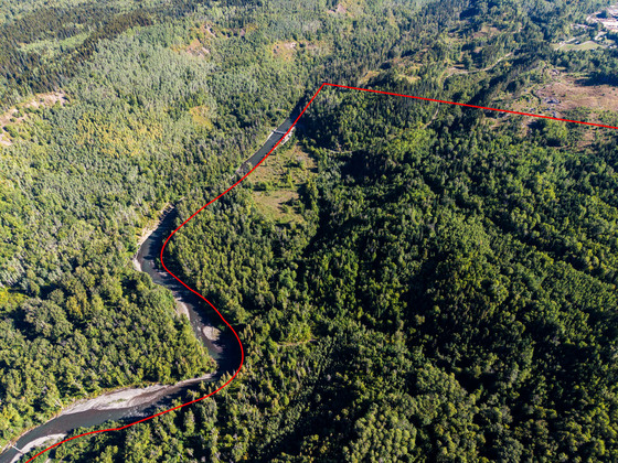
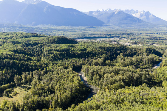
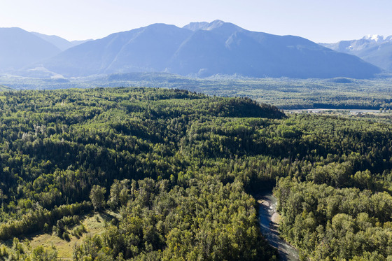
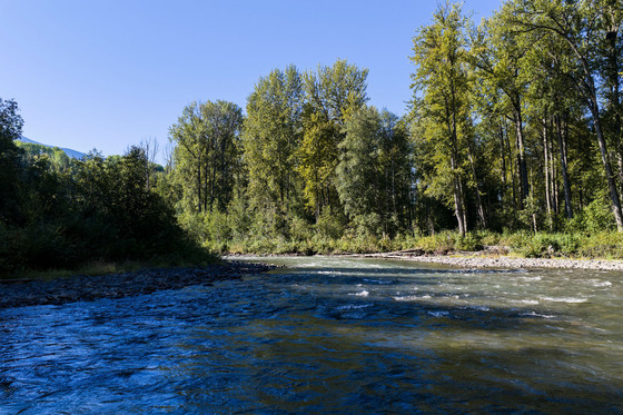
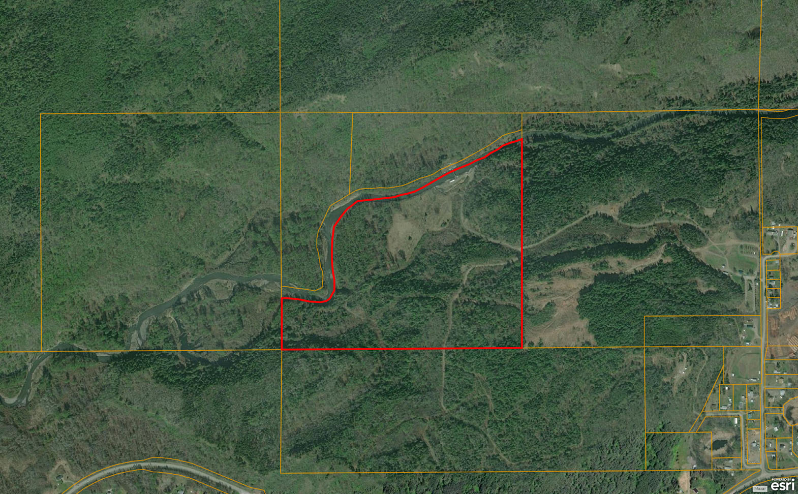
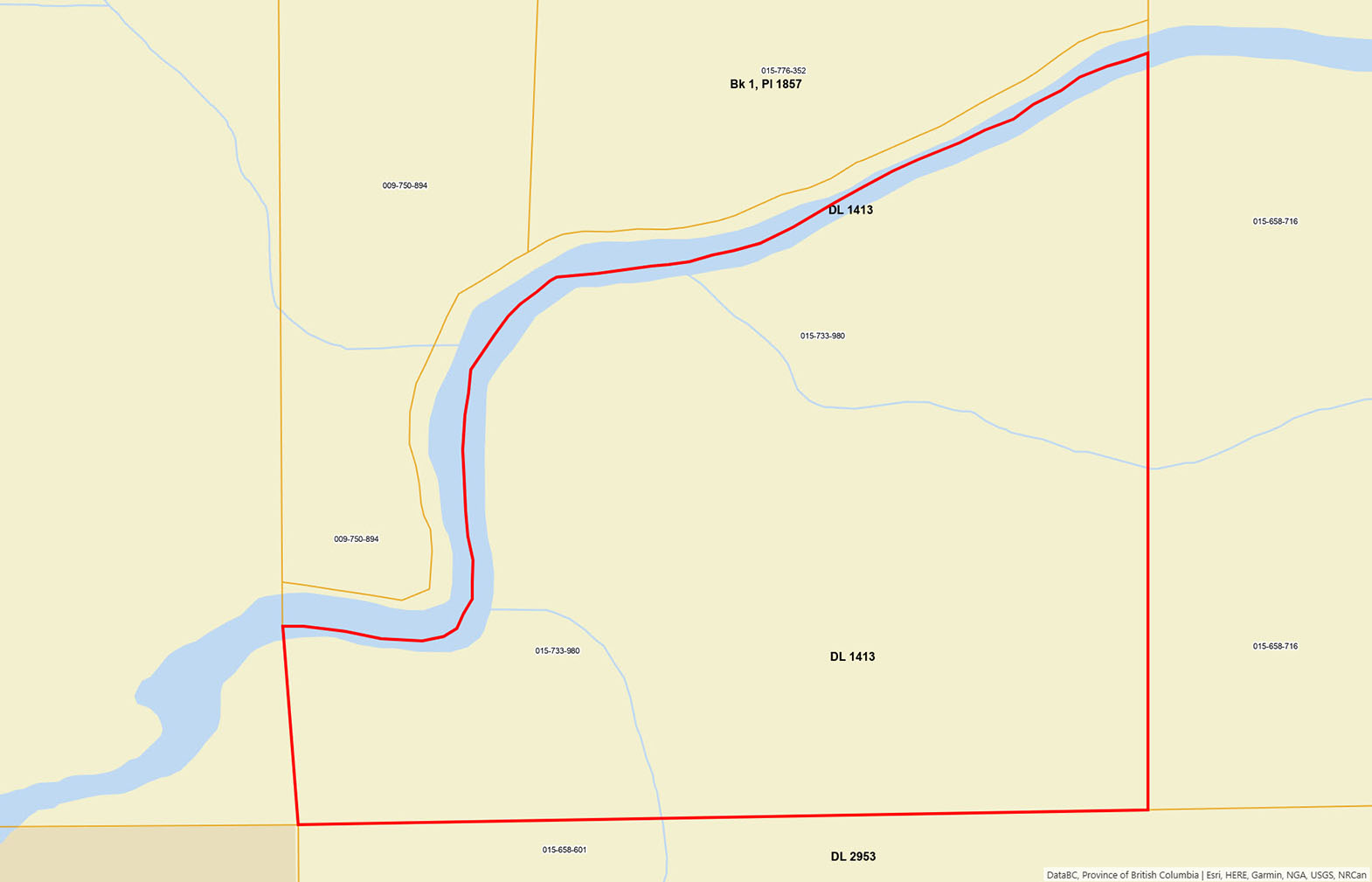
95 private acres on the Kitwanga River with 3,660 ft of frontage and fertile river valley soil. Mixed forest and open meadows in the heart of the Skeena Region. Flexible zoning permits residential and agricultural pursuits, with power infrastructure available.
 +21 photos
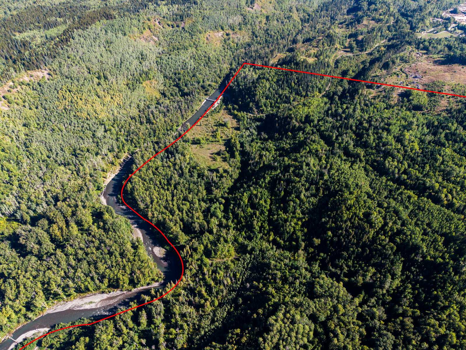
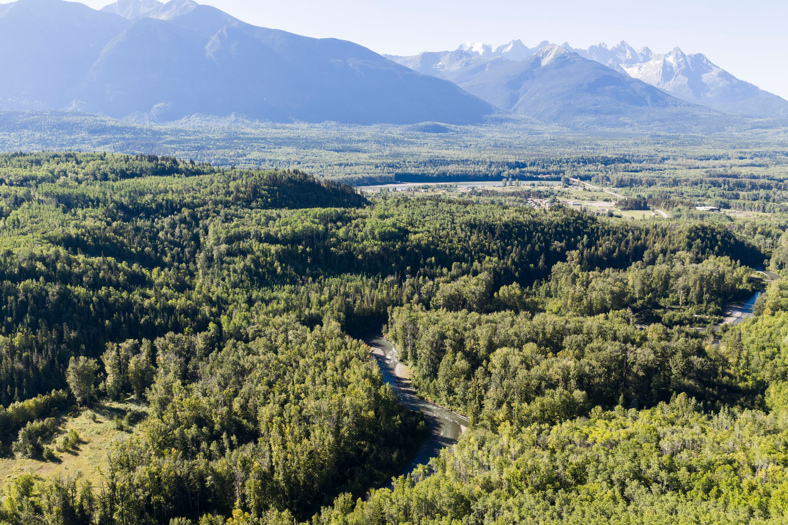
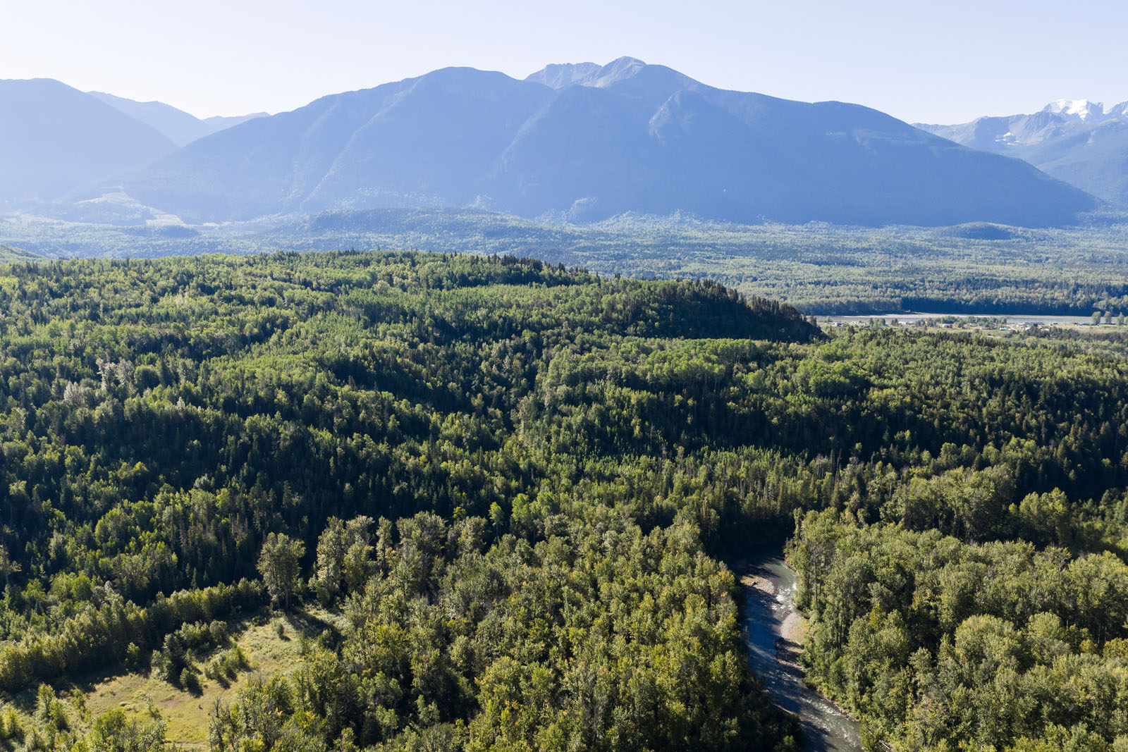
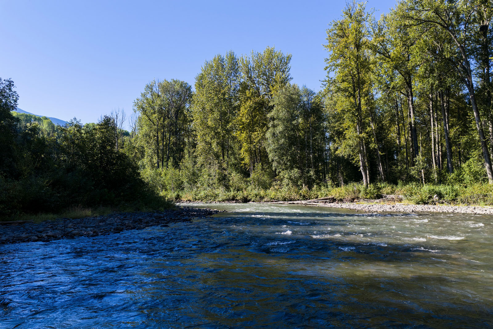
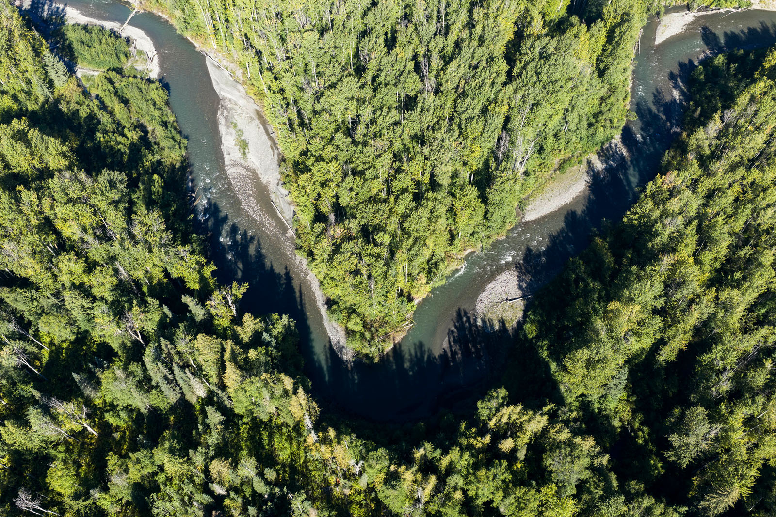
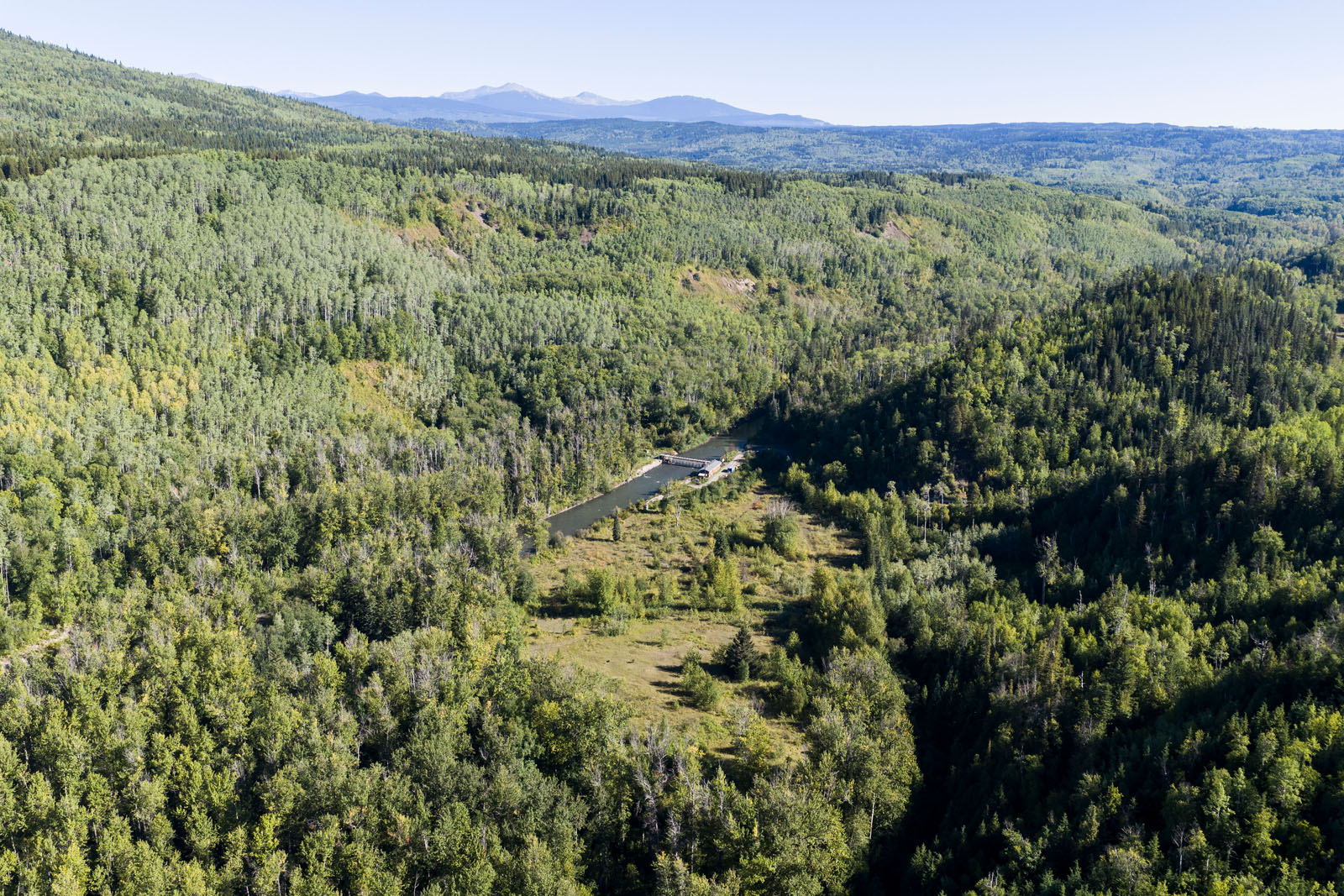
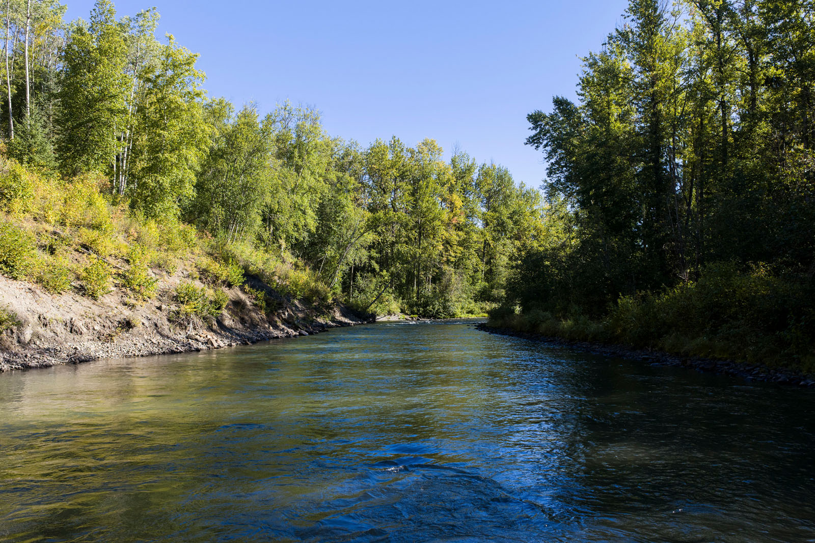
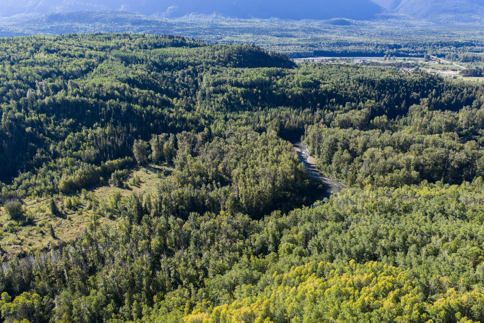
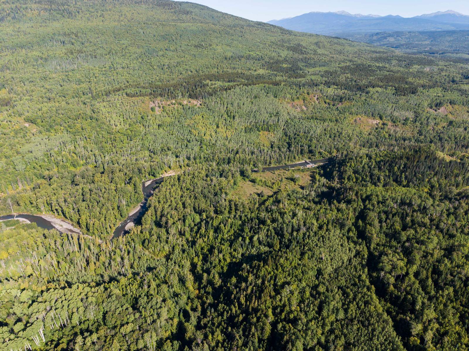
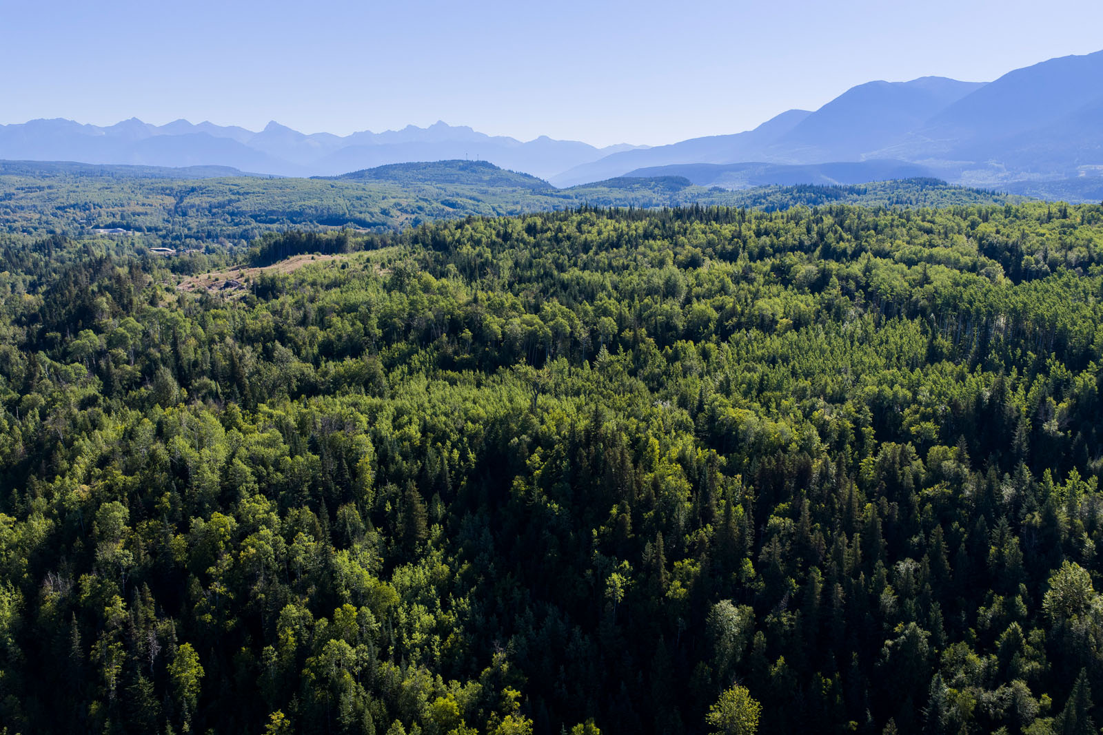
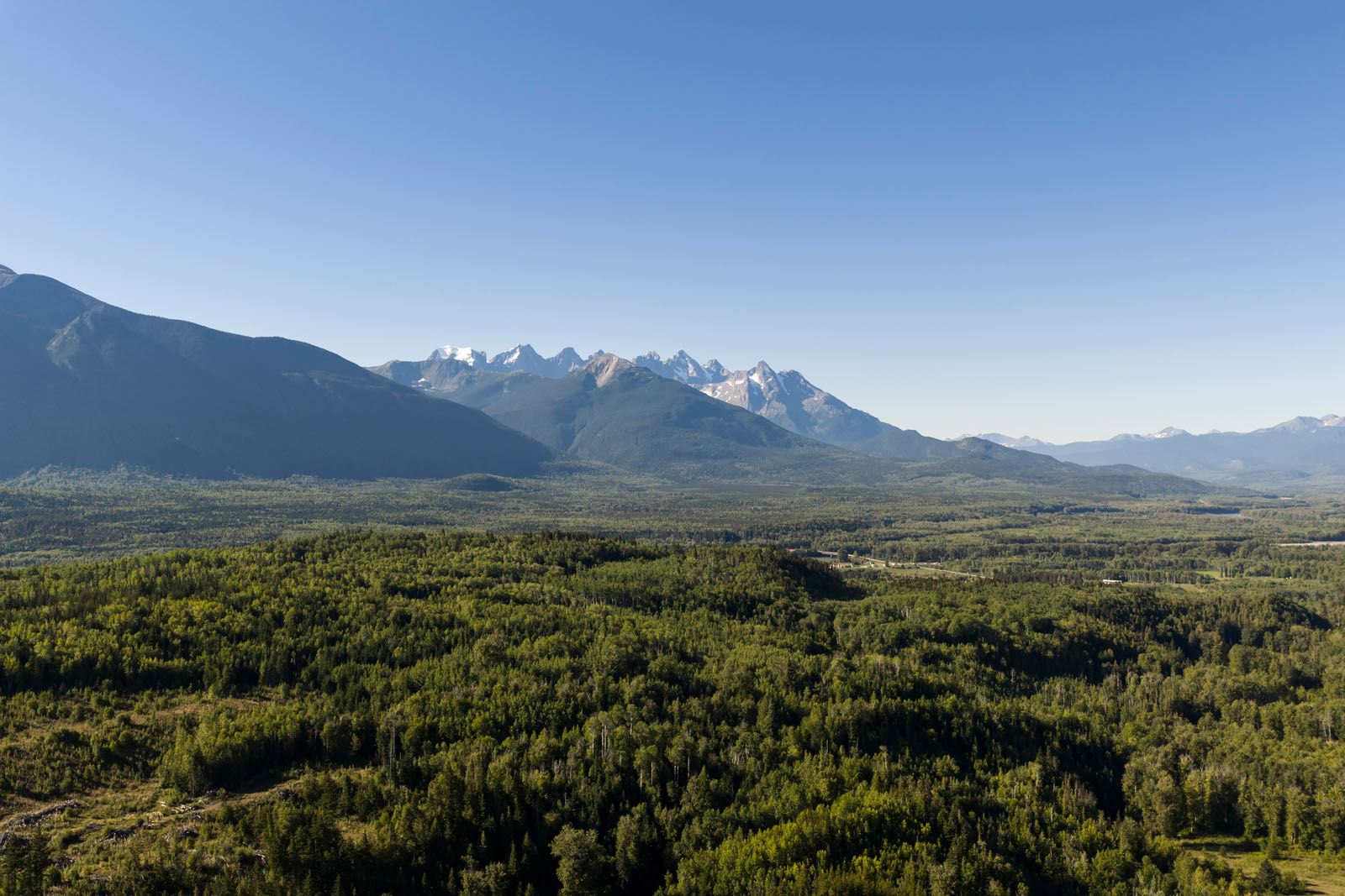
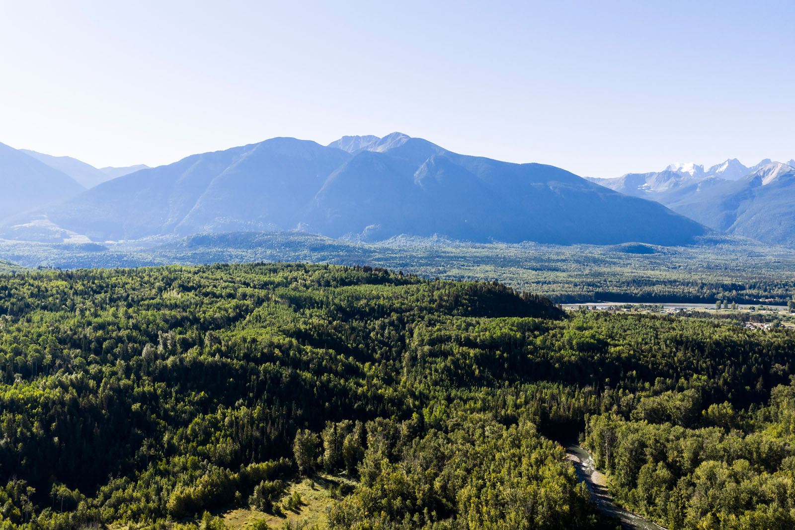
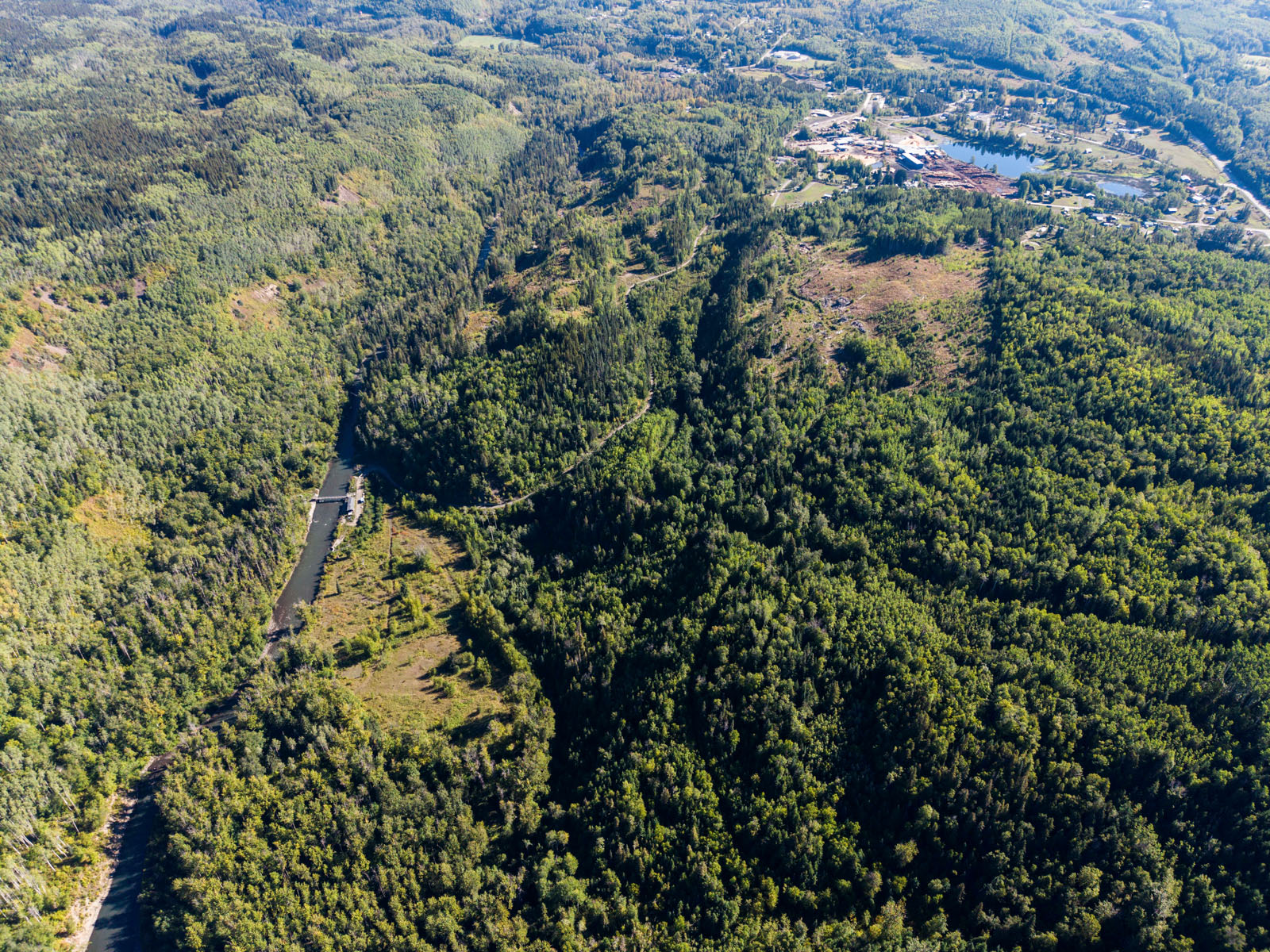
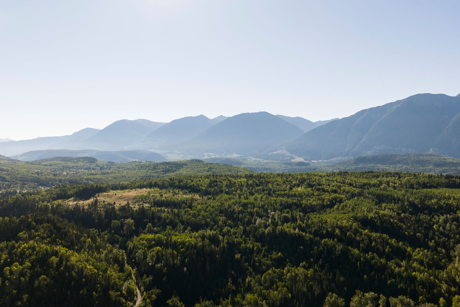
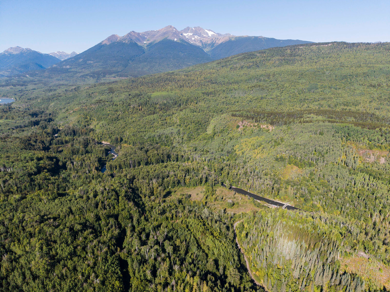
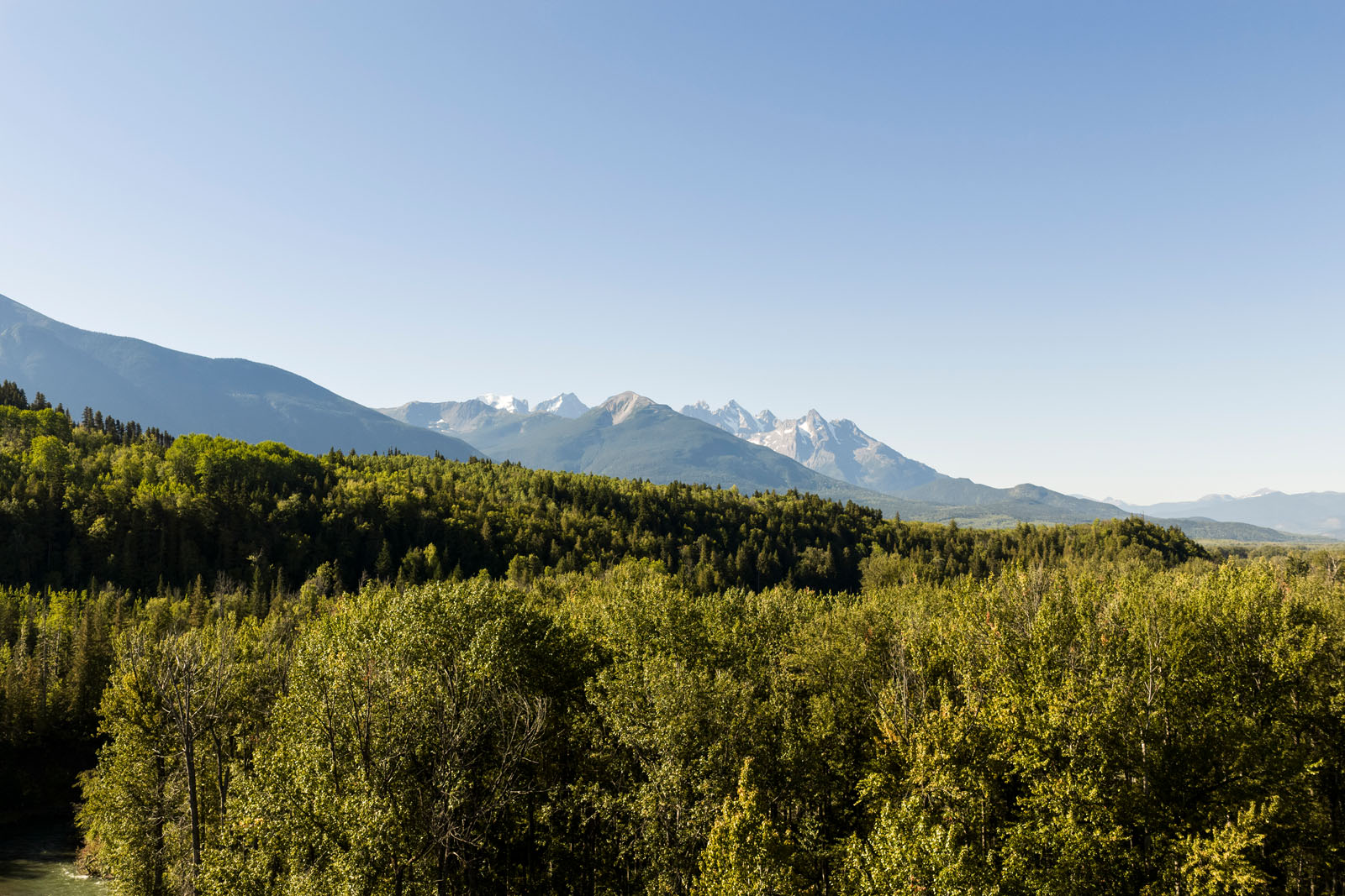
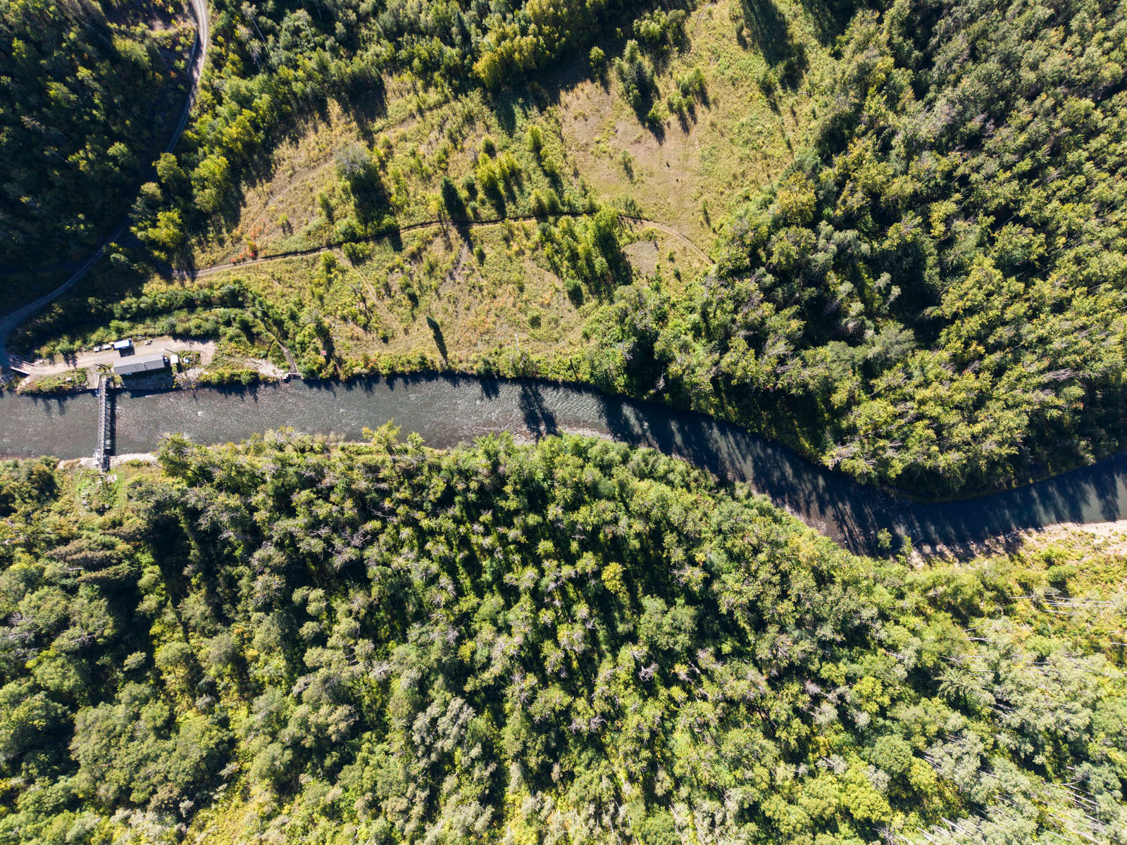
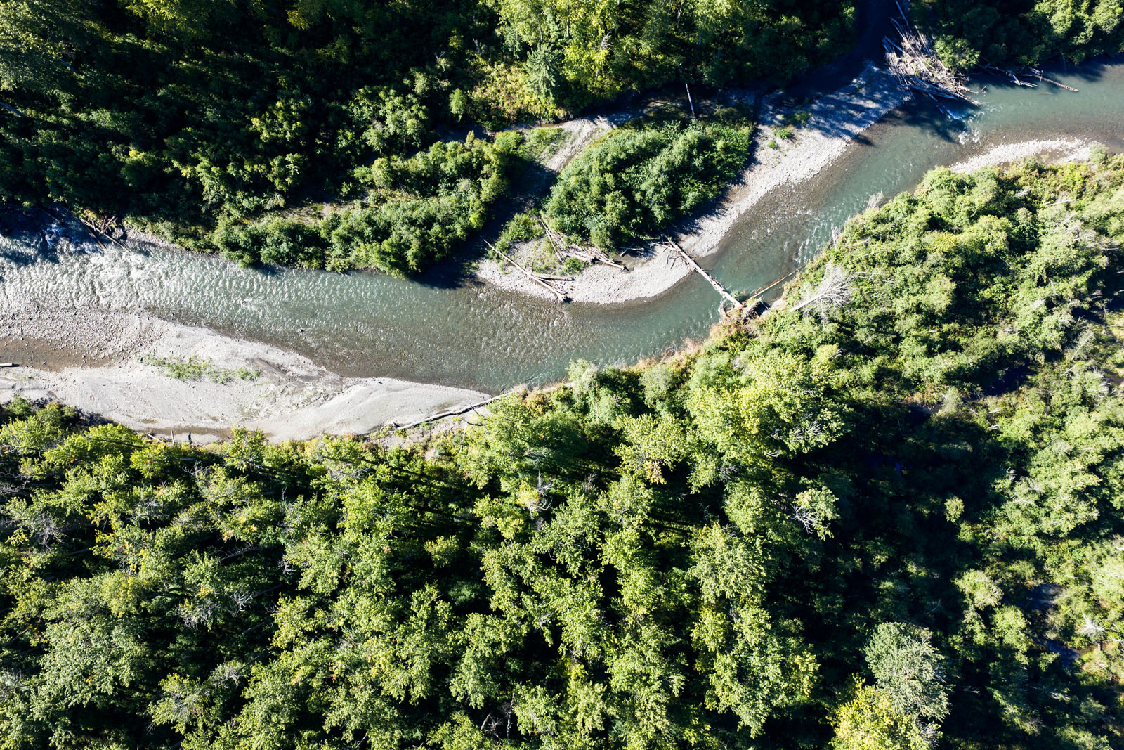
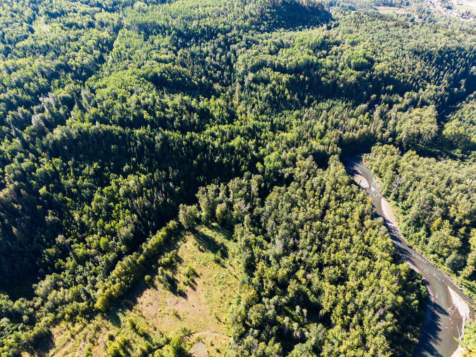
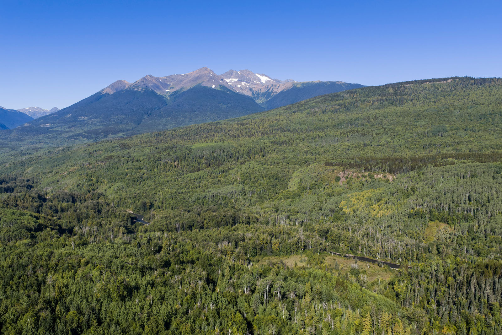
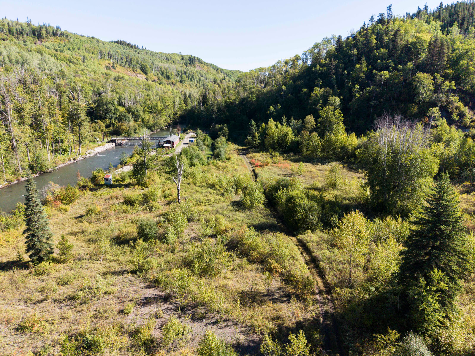
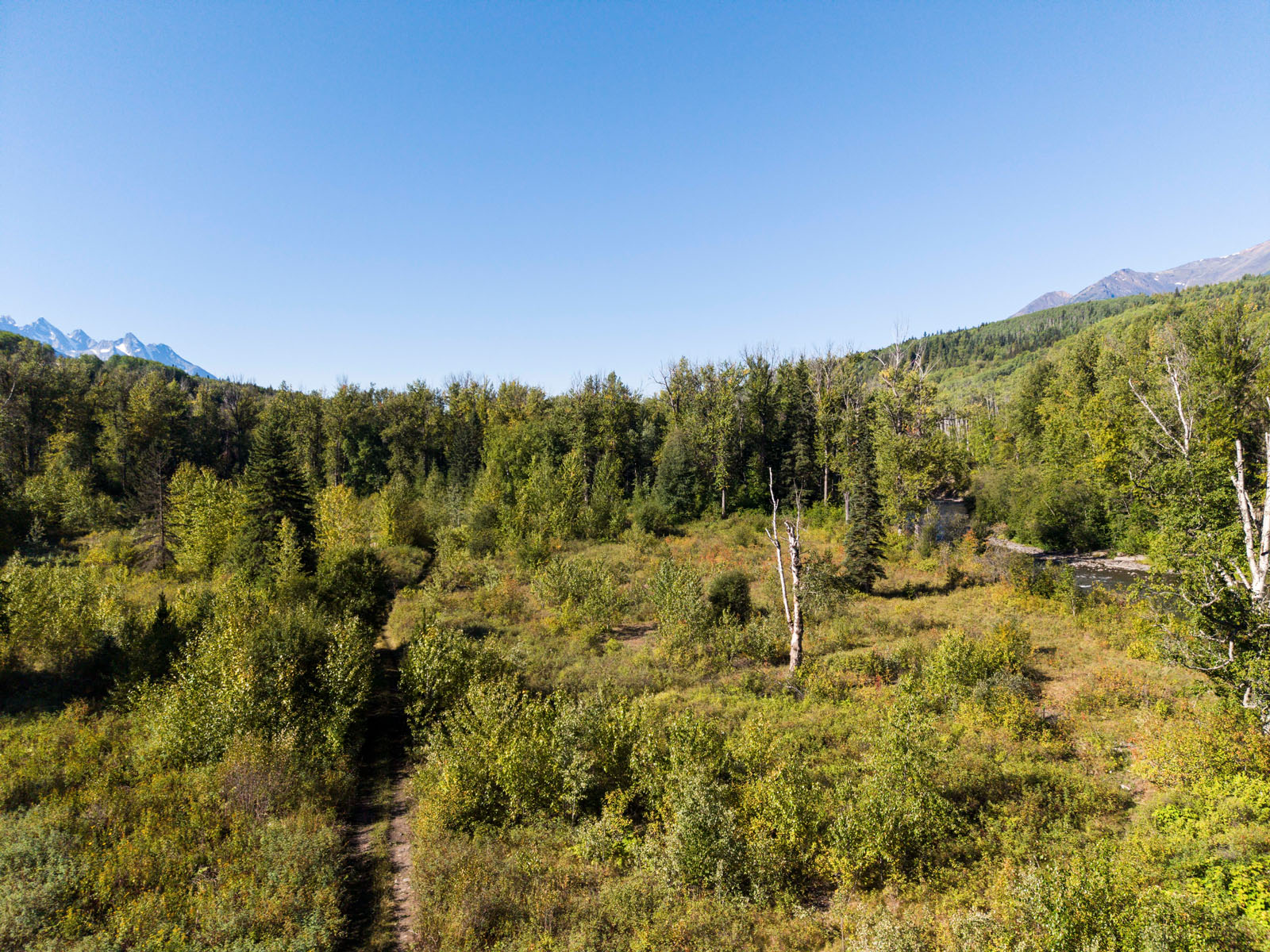
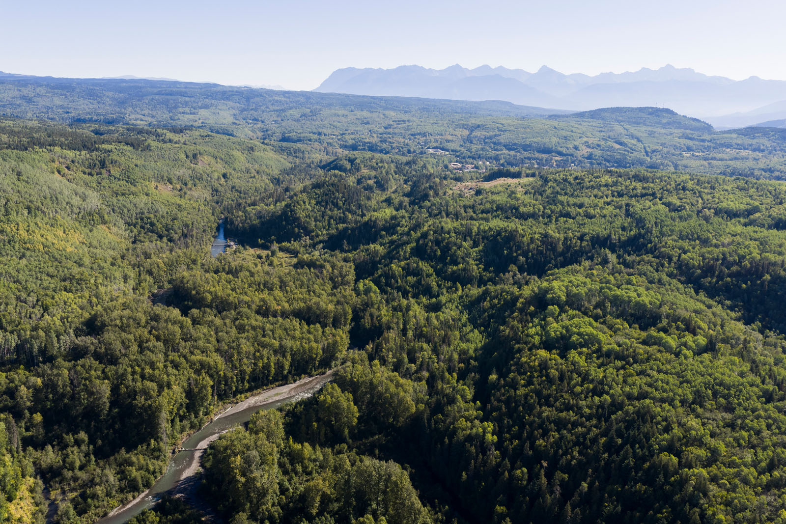
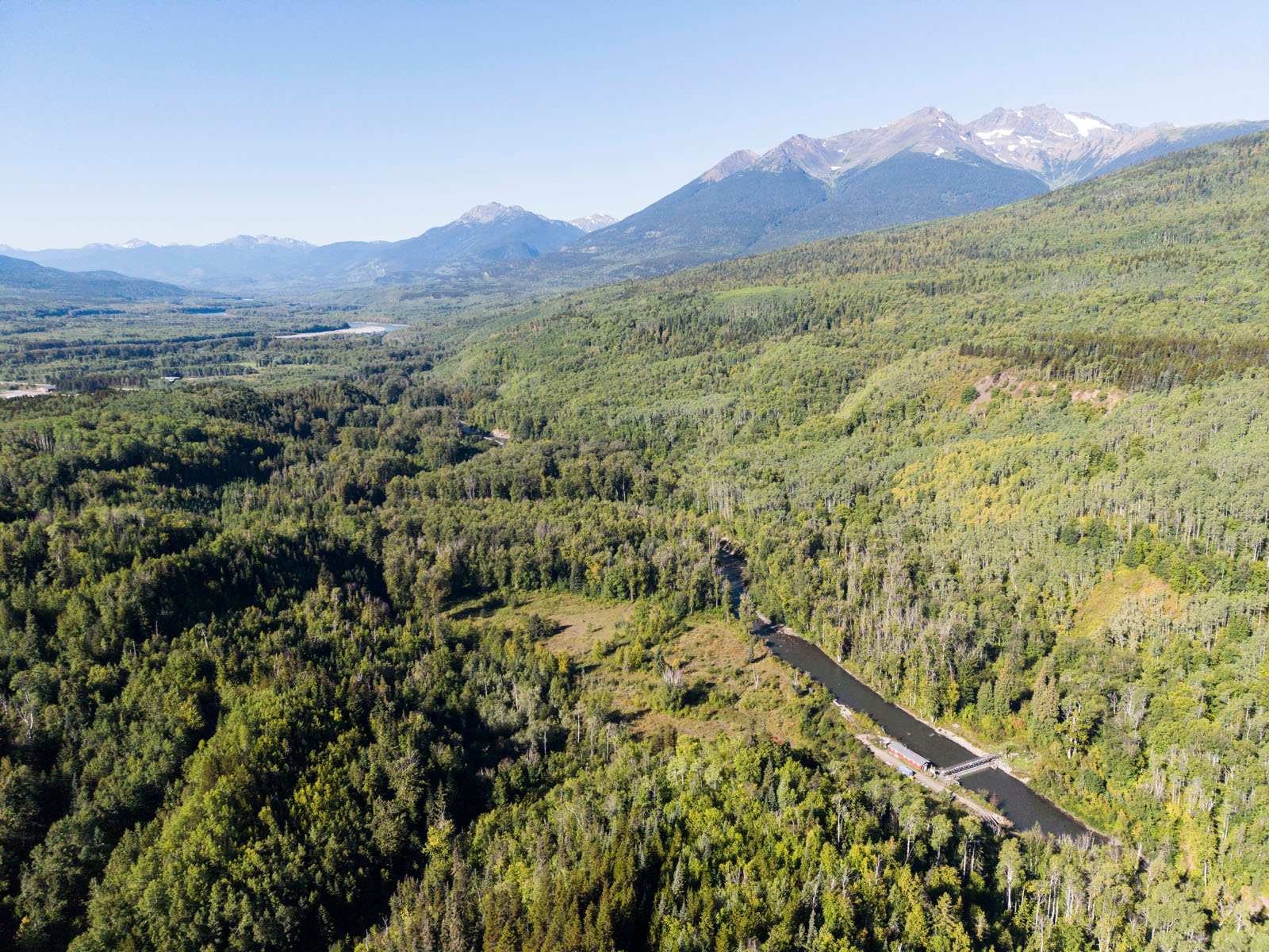
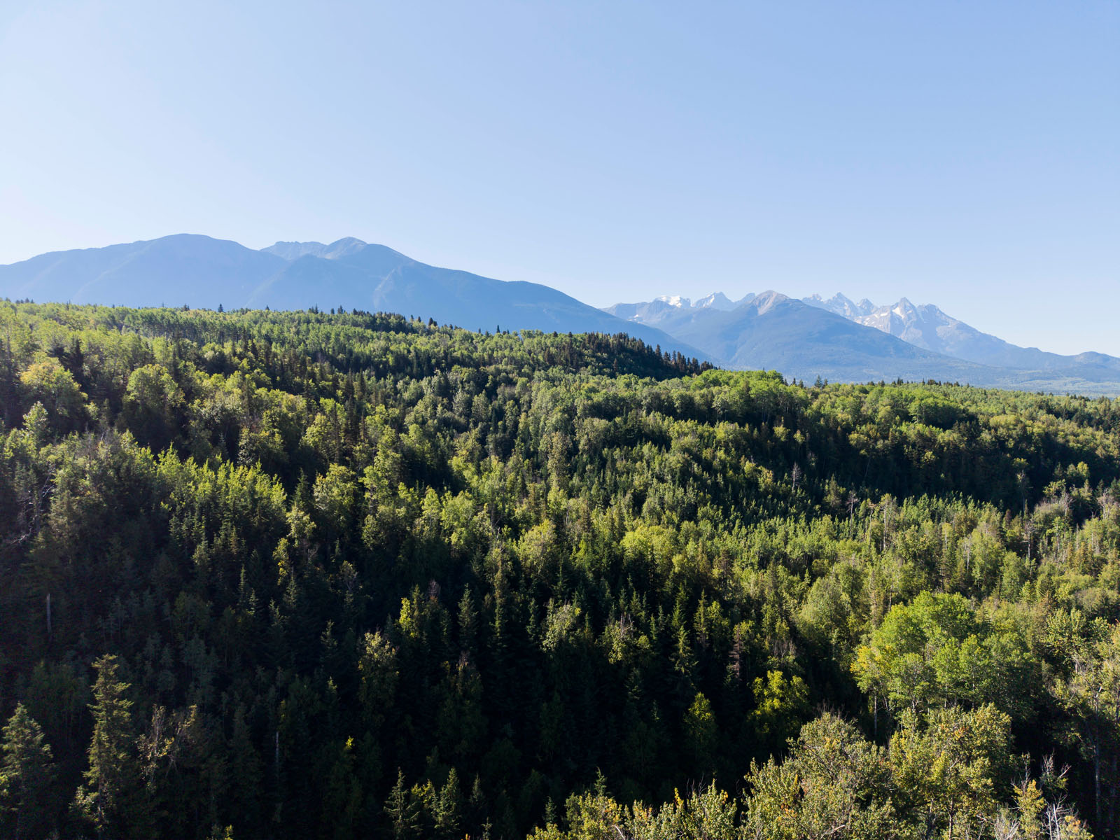
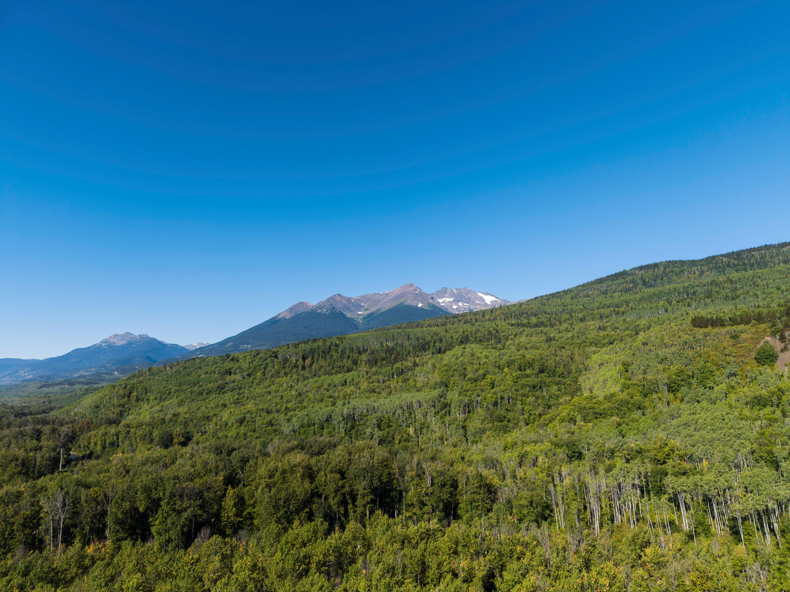
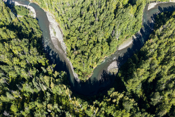
Ninety-five acres of private riverfront land near the Village of Kitwanga, in the Skeena Region of northwestern British Columbia. The property features approximately 3,660 feet of frontage along the Kitwanga River, with power and telephone service available. A mixture of private and Crown land on the north side of the river adds to the sense of seclusion.
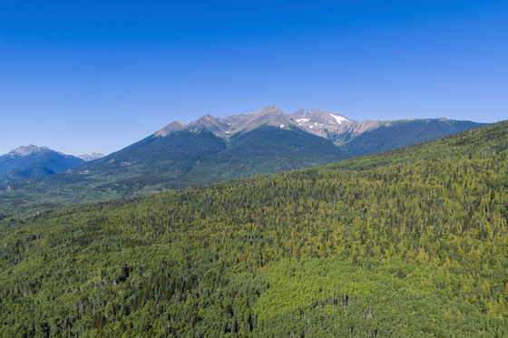
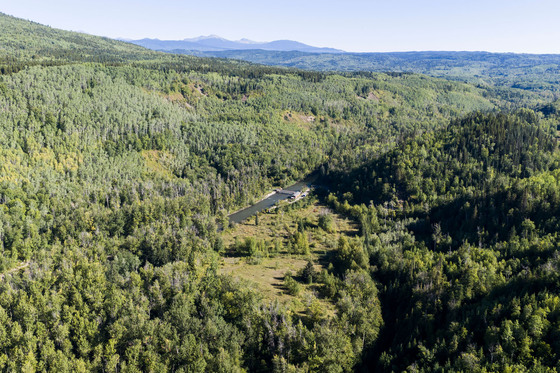
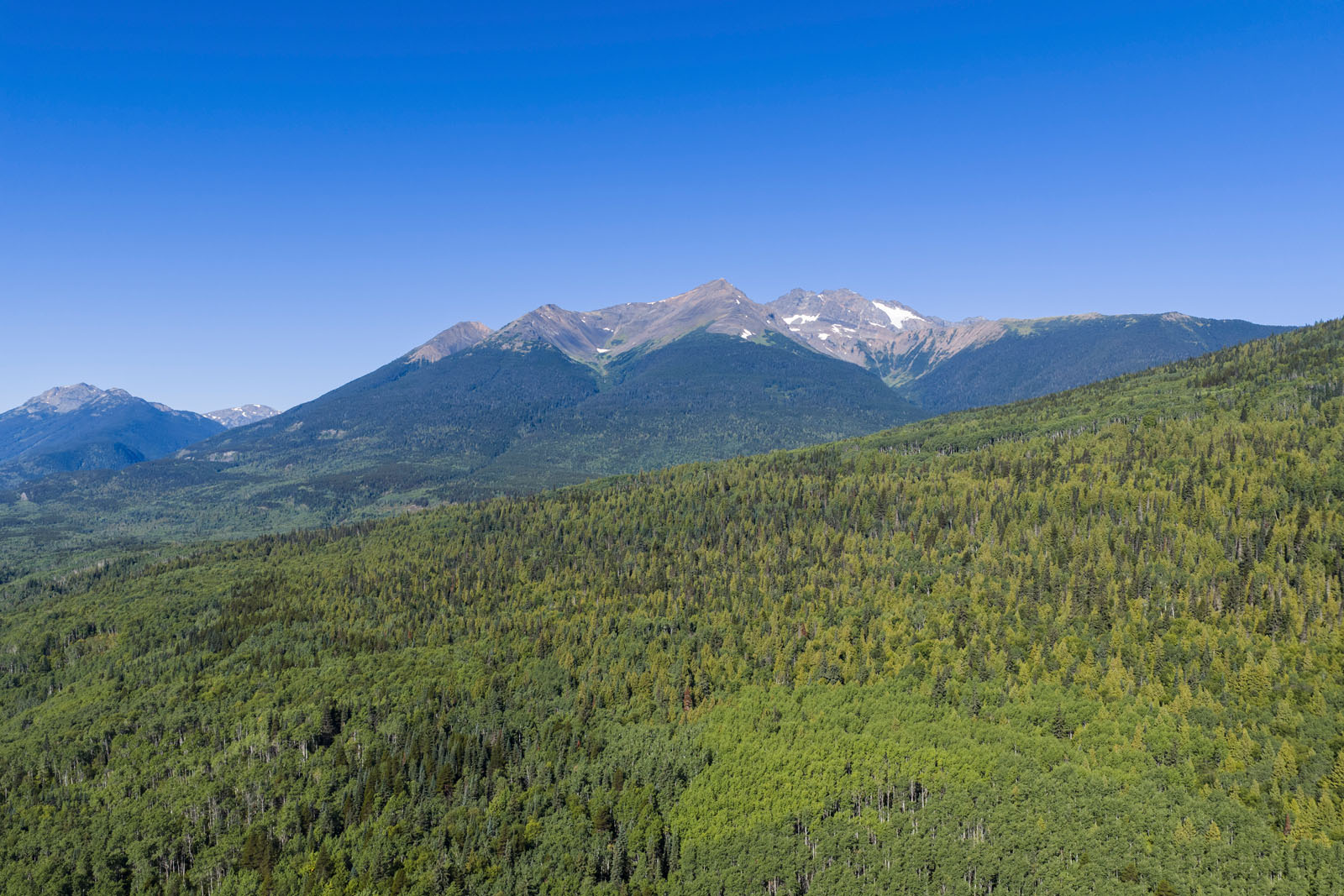
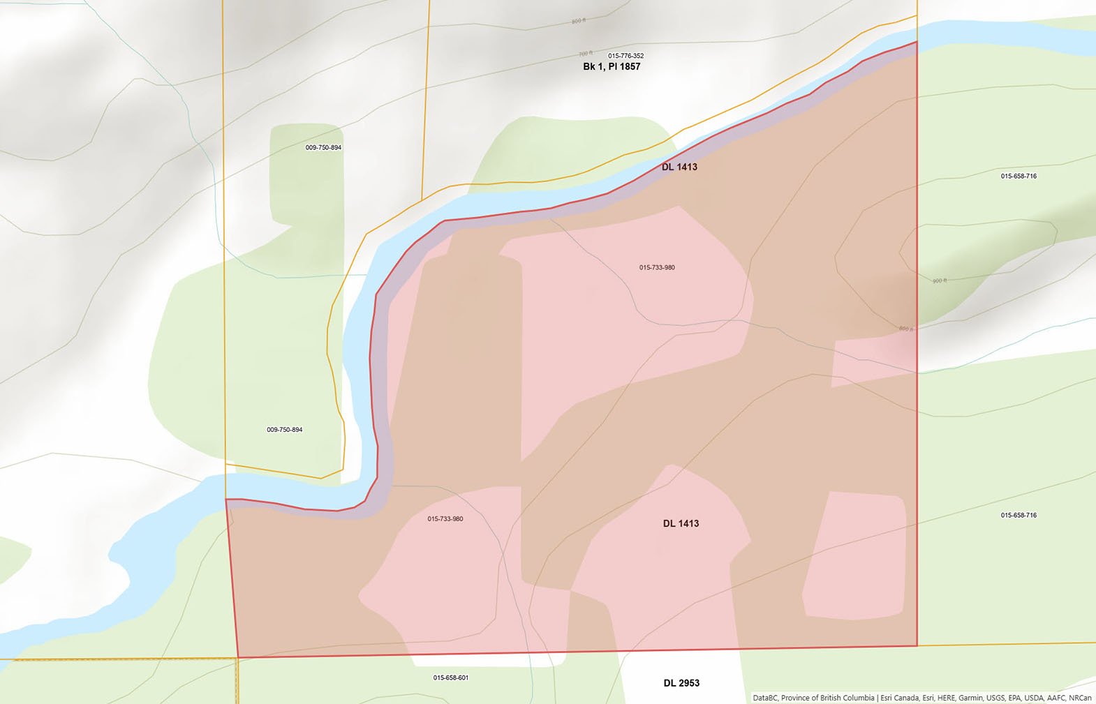
The terrain is moderately sloped, with a diverse mix of coniferous and deciduous trees across the upper portions and cleared meadows closer to the river. The valley bottom offers fertile soil with strong potential for gardening, crops, or other agricultural pursuits. The natural topography of the land creates opportunities for a homesite overlooking the Kitwanga Valley and the surrounding mountain landscape.
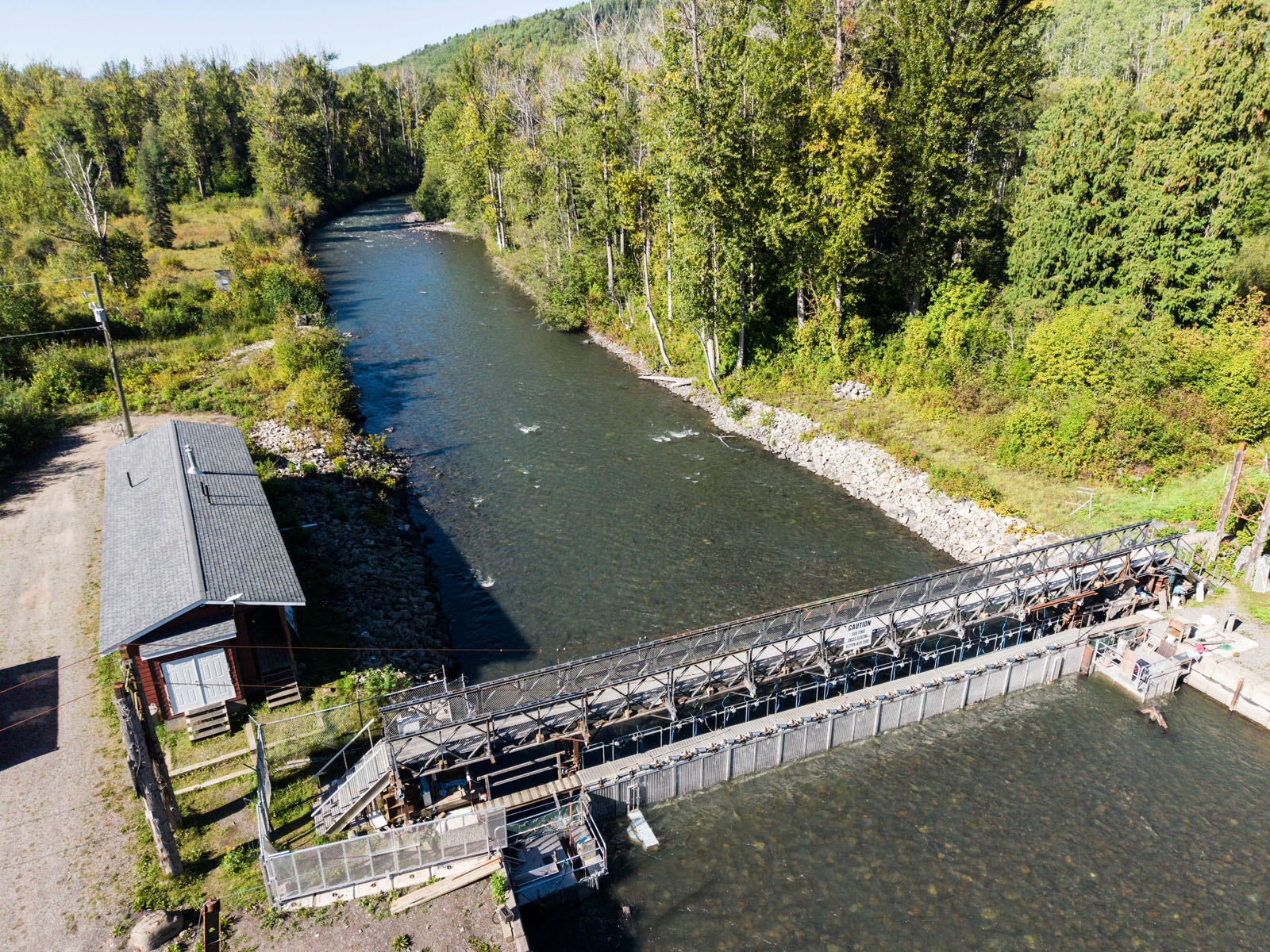
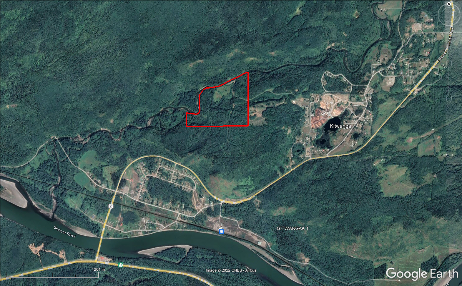
The Kitwanga River Salmon Enumeration Facility (KSEF) is located along the northern property line, occupying approximately 325 feet of river frontage and roughly half an acre. Operated in partnership with the Gitanyow Fisheries Authority and Fisheries and Oceans Canada, the facility counts salmon during summer and fall and monitors steelhead migration through winter and spring. A long-term agreement provides annual compensation that transfers to the next owner (additional details under Area Data).
The property is zoned Rural (R1), permitting a single family residence or mobile home, agriculture, animal husbandry, home occupation, timber harvesting, and resource extraction, among other uses. This gives the next owner flexibility to develop the land for residential, agricultural, or mixed purposes.
Access is through a registered easement via the Kitwanga River RV Campground. The gravel road from the park to the property is in good condition.
DL 1413 Barcalow Road - Kitwanga, BC
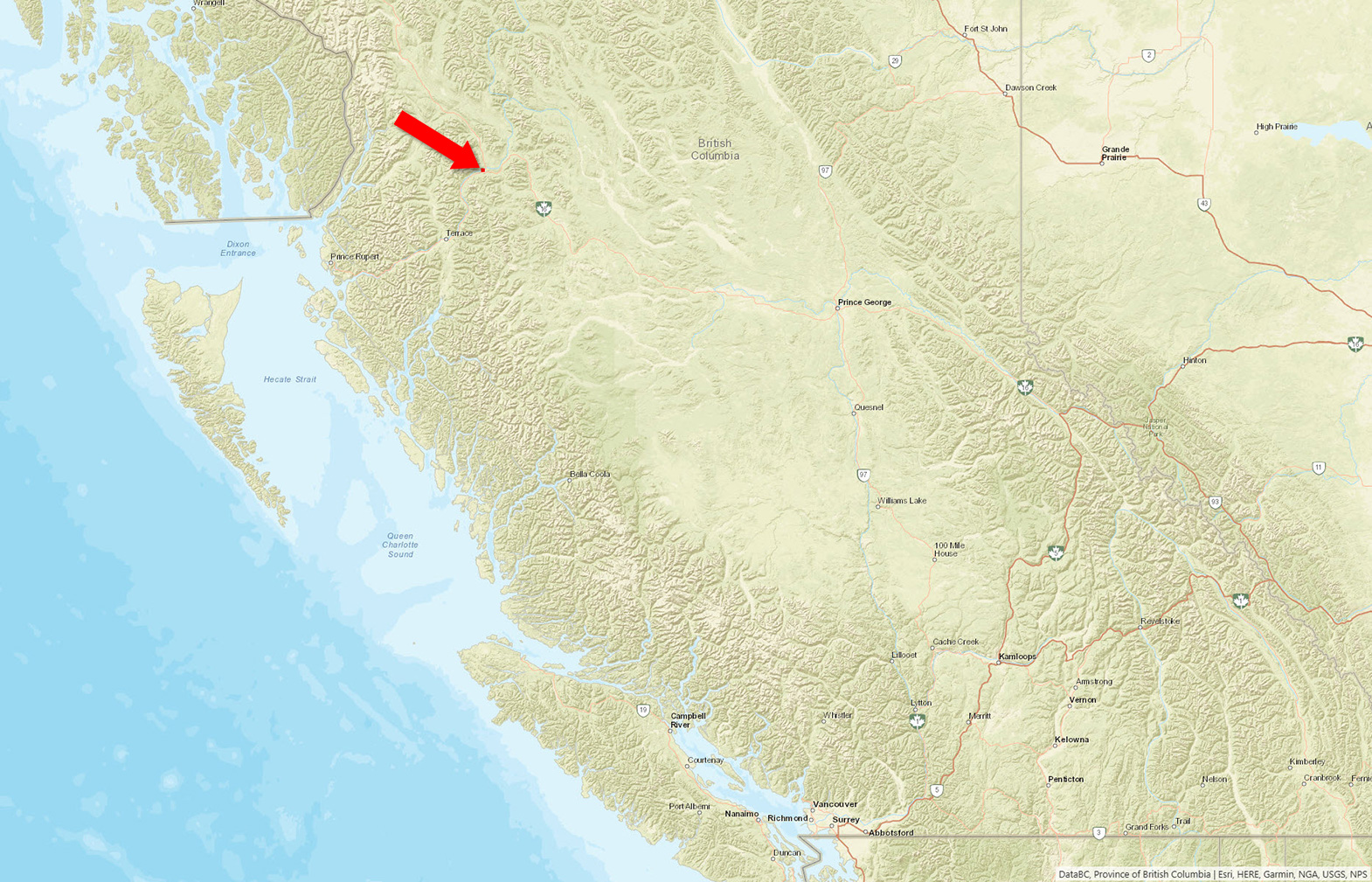
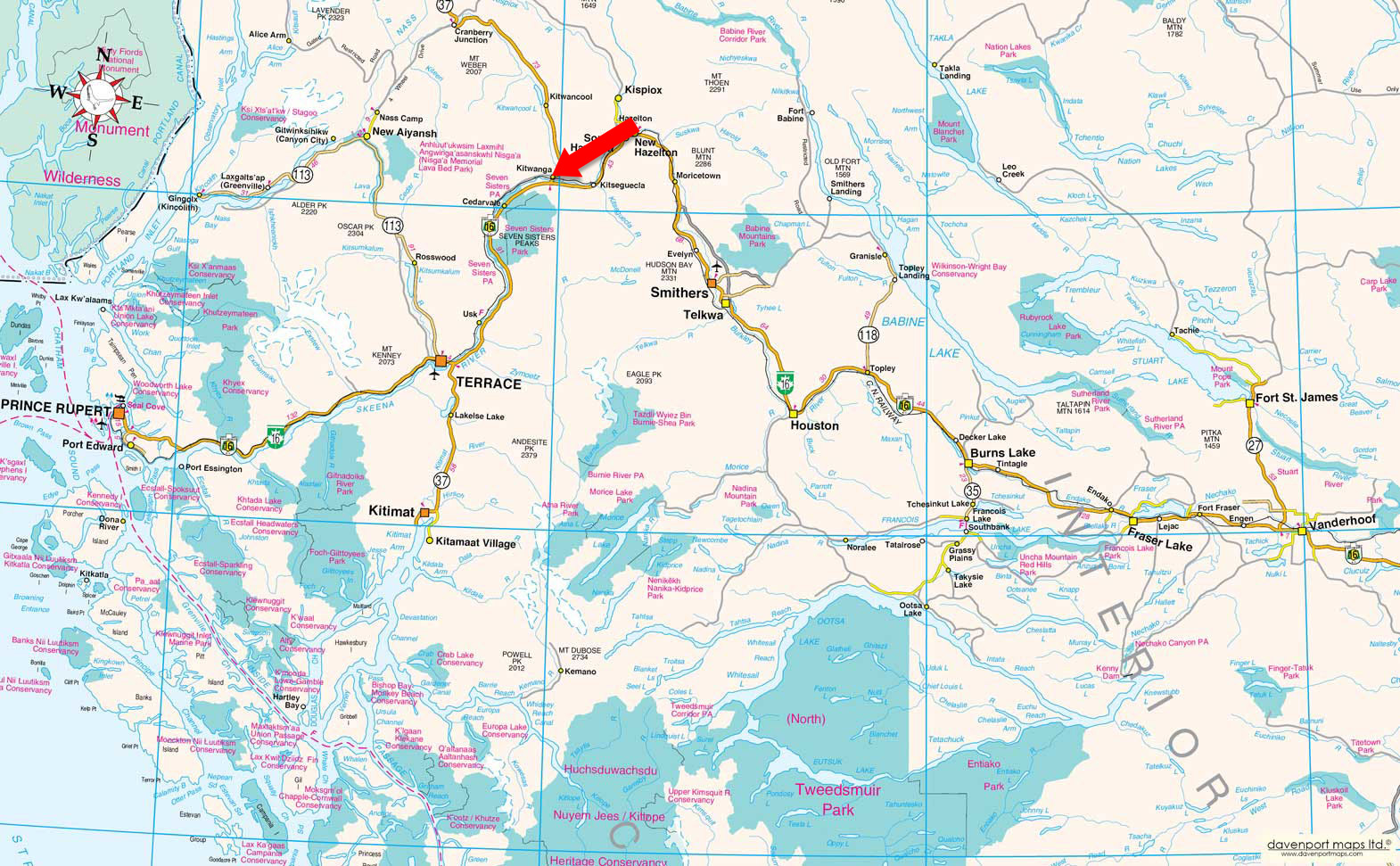
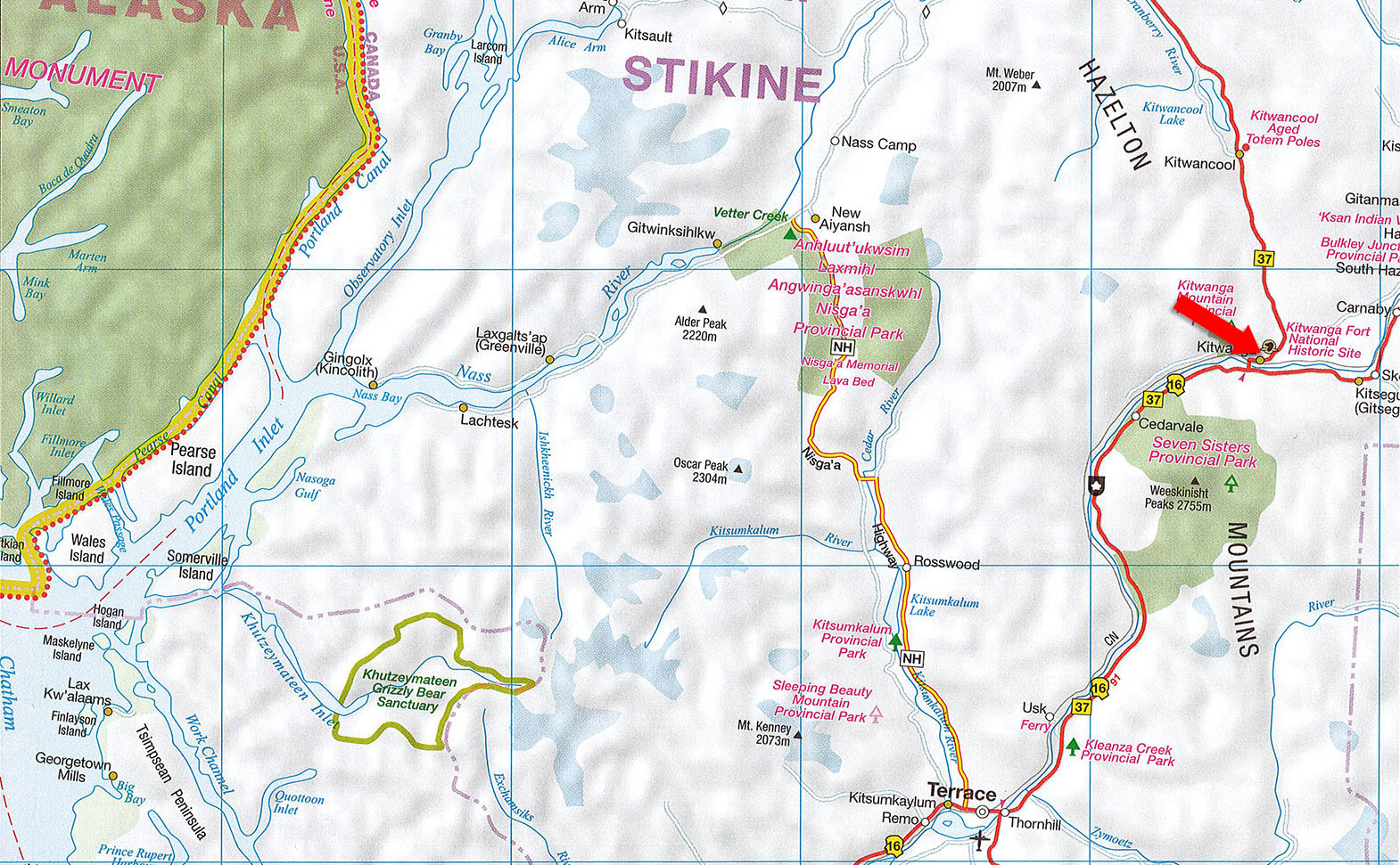
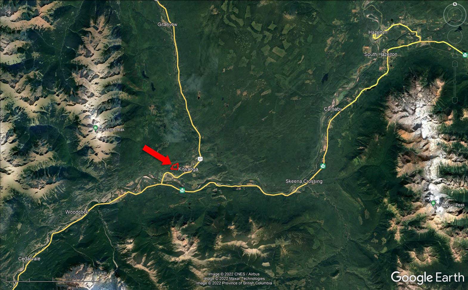
The property is located approximately 4 km northeast of the junction of Highway 16 and Highway 37. Turn north toward the Village of Kitwanga, then left onto Barcalow Road and left again into the Kitwanga River RV Campground. Access to the property is via a registered easement along the main road through the campground.
The Kitwanga River is a biologically rich salmon system that drains into the middle Skeena approximately 250 km from the coast. During the winter of 2003, the Gitanyow Fisheries Authority, in partnership with Fisheries and Oceans Canada and the BC Ministry of Water, Land and Air Protection, constructed a salmonid enumeration facility (KSEF) to manage salmon and steelhead. The salmonid information collected on the Kitwanga River is also an index of salmon health for the entire middle Skeena River. Based on a dual design system, the facility uses an aluminum fence across the river to count salmon in the summer and fall and a resistivity counter to calculate steelhead migration in and out of the system in winter and spring.
The Kitwanga River flows into the 480 km Skeena River, one of British Columbia's most significant waterways. The river is famous for sport fishing, especially for its five different salmon species. With 5 million spawning salmon a year, the Skeena is second only to the Fraser River in capacity to produce sockeye salmon. The river rises in the northern interior of BC and generally flows southwest into the Pacific Ocean at Chatham Sound, south of Prince Rupert. The surrounding region is home to black bears, grizzly bears, and the Kermode bear (also known as Spirit Bear), which lives in the Skeena Valley from Prince Rupert to Hazelton.
Officially designated as a National Historic Site, Kitwanga, also known as Gitwangak, is on the Stewart-Cassiar Highway 37, 4 km north of the Yellowhead Highway 16 junction. Discover the history of the Northwest First Nations at Kitwanga Fort National Historic Site, where you'll find an extensive collection of totem poles. Additional iconic landmarks include the 1893 St Paul's Anglican Church and Bell Tower.
Primary employers are Kitwanga Forest Products, Kitwanga Elementary School, and Meek Logging Limited. The community has a community hall, post office, general store, restaurant, recreation complex, ballfield, RV park, trail system, ambulance station, and two churches.
Prince George, population 74,004, is the largest hub city in northern BC. It is often referred to as the province's "Northern Capital." PG is situated at the Fraser and Nechako rivers' confluence and the crossroads of Highway 16 and Highway 97. Prince George's northern city hub is just over a 5.5-hour drive with an international airport. Domestic connections to international airports are available in Terrace and Smithers. A significant supply center, Terrace is barely over a 1-hour drive for supplies and services.
Multiple mountain goat herds reside within the park, and frequent the peaks and ridges during the summer and winter in the forests near Oliver Creek and Hells Bells Creek. Grizzly and black bears, raptors, and other birds frequent the entire Protected Area. In low-elevation forested areas, marten and fisher birds use older forests. Moose, mule deer, coyotes, and wolves use the park around natural openings, burned areas, and old logging cut blocks. The low-elevation forest between Hells Bells Creek and Oliver Creek provides mule deer winter range. Salmon pass through the lower reaches of creeks, and trout live within most lakes and streams.
This park also offers wildlife-viewing opportunities across various habitats. There are grizzly bear habitats in the subalpine and good moose habitats. Lower elevations provide excellent opportunities for migratory bird viewing.
Seven Sisters Provincial Park and Protected Area offer an exceptional, natural setting for a wide variety of recreational activities. Hiking and snowmobiling are two popular front and backcountry activities. Beautiful glaciers top these mountains. Several trails run from Highway 16, including Oliver Creek Trail, Watson Lakes Trail, Hell's Bells Trail, Cedarvale Trail, Whiskey Creek Trail, and Coyote Creek Trail. These trails offer a wide variety of experiences.
The Kitwanga Mountain Provincial Park offers an environment unto its own. The mountain top is above the treeline and remains in a perfectly natural state. The reward is an excellent view of the Seven Sisters Peaks and throughout the Skeena Valley for those who hike the trail. Hiking to the timberline viewpoint is steep, but the trail is clear and in good condition. Horseback riding is not permitted on the trail due to the steep inclines, but is allowed in other lower areas of the park. Wilderness, backcountry, and alpine camping are permitted. Mountain biking is limited to roadways.
The Skeena River is a mighty river that originates south of the Spatsizi Plateau Wilderness Provincial Park in the northwestern region and flows to the Pacific Ocean. Five species of salmon thrive in this River, along with steelhead. Taking in the beauty of the whole Skeena Valley by fishing, boating, floating, or paddling provides an excellent way to relish the day.
Historically, the Kitwanga or Gitwangak ("people of the place of rabbits" in the Gitxsan language) had long been a trade center for the northwest First Nations cultures and the settlers that pioneered the Kitwanga valley. Today, the culture and history of Gitwangak are on display at Gitwangak Battle Hill National Historic Site in the Kitwanga valley. The surrounding area is rich in First Nations history and is home to up to 50 totem poles.
The Seven Sisters Mountain range area has stimulated interest in mineral exploration since the late 1920s. Discoveries included veins with gold, silver, lead, and zinc, all in the headwaters of Oliver Creek. Exploration continued between 1968 and 1983, including aeromagnetic, gravity, magnetic, and geochemical surveys and trenching to expose bedrock in areas of interest. No mineral occurrences were economically viable for mining. The only remnant of the area's mining exploration history is the roads (Oliver Creek Trail and Coyote Creek Trail) and a few dilapidated buildings outside the Protected Area at the abandoned Magnetron Site on the Coyote Creek Trail.
Kitwanga Mountain Provincial Park in the Nass Range, was established in 1997 with 1800 acres, north of Cedarvale. The mountains are in the Nass Range near Kitwanga. The trail was rebuilt through a joint project by BC Parks and volunteers from Round Square International Schools at Soaring Spirits Camp.
The Skeena River is the second longest river entirely within BC after the Fraser River. Historically, the Skeena has been a vital transportation artery, particularly for the Tsimshian and the Gitxsan—whose names mean 'inside the Skeena River' and 'people of the Skeena River. The river and its basin sustained many fish, wildlife, and vegetation, and communities native to the area depend on the river's health.
55° 6'53.35"N and 128° 3'7.07"W
The acreage is an excellent long-term investment in a private, gorgeous setting.
$2,108.33 (2026)
R1
That part of the Southwest 1/4 of District Lot 1413 Cassiar District lying south of the Kitwanga River
PID 015-733-980
 +8 maps
Our property descriptions and geographical information are taken from the BC Assessment Authority, Land Titles Office, government maps and other sources. While LandQuest® does not guarantee the information, we believe it to be accurate, but should not be relied upon without verification. This communication is not intended to cause or induce breach of an existing agency agreement.
Kitwanga
 21℃
11℃
21℃
11℃