


Three titled parcels totalling 479.75 acres near Topley, BC. Timber value, prime moose habitat, Bulkley River frontage, a hay field and elevated building-site potential. Remote, largely undeveloped land with seasonal road and trail access and nearby all-season roads.
Foreign Buyer Ban does not apply to this property
 +23 photos
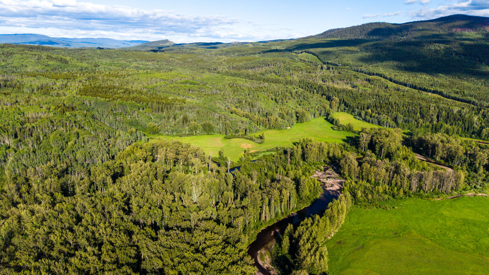
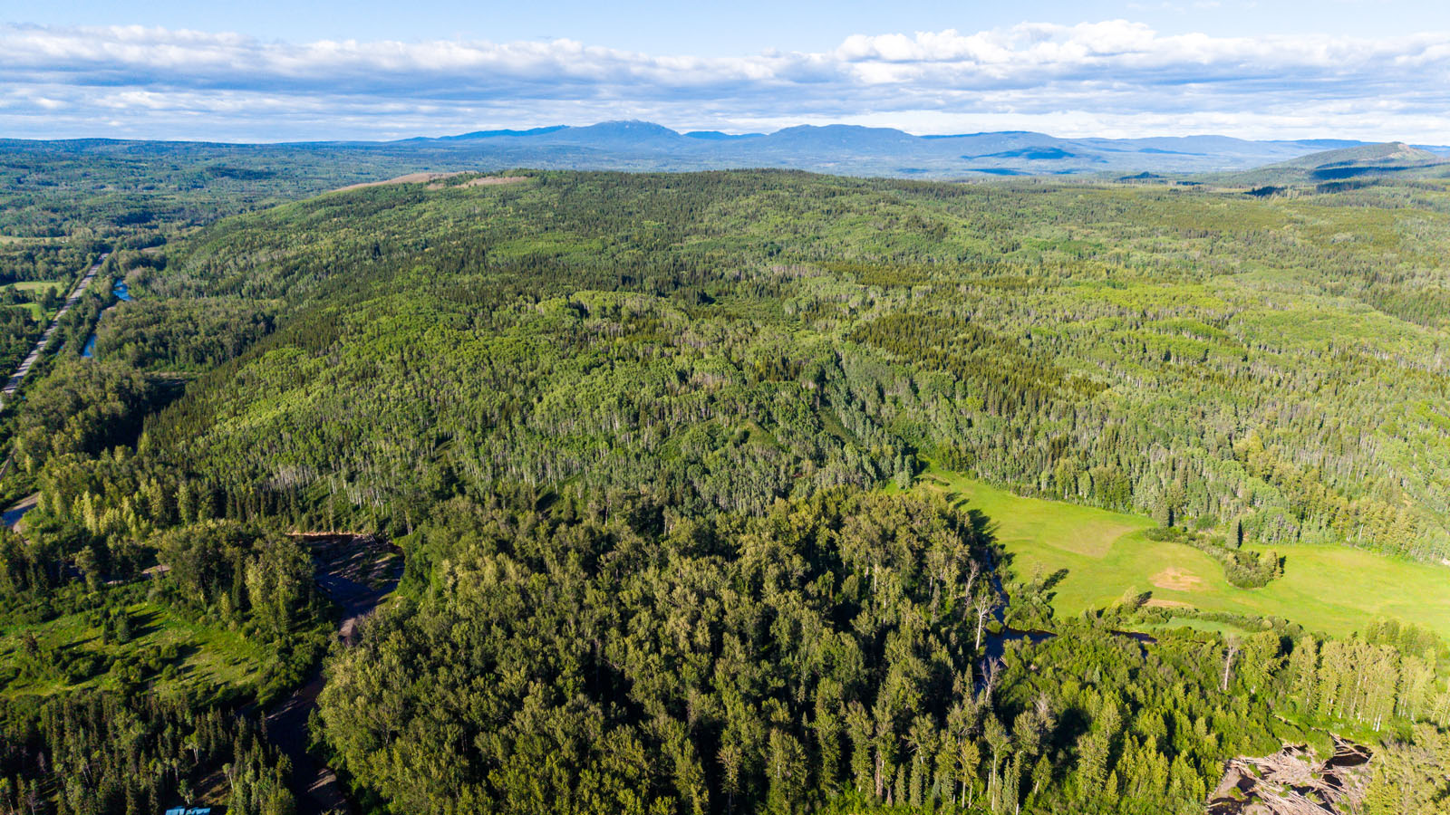
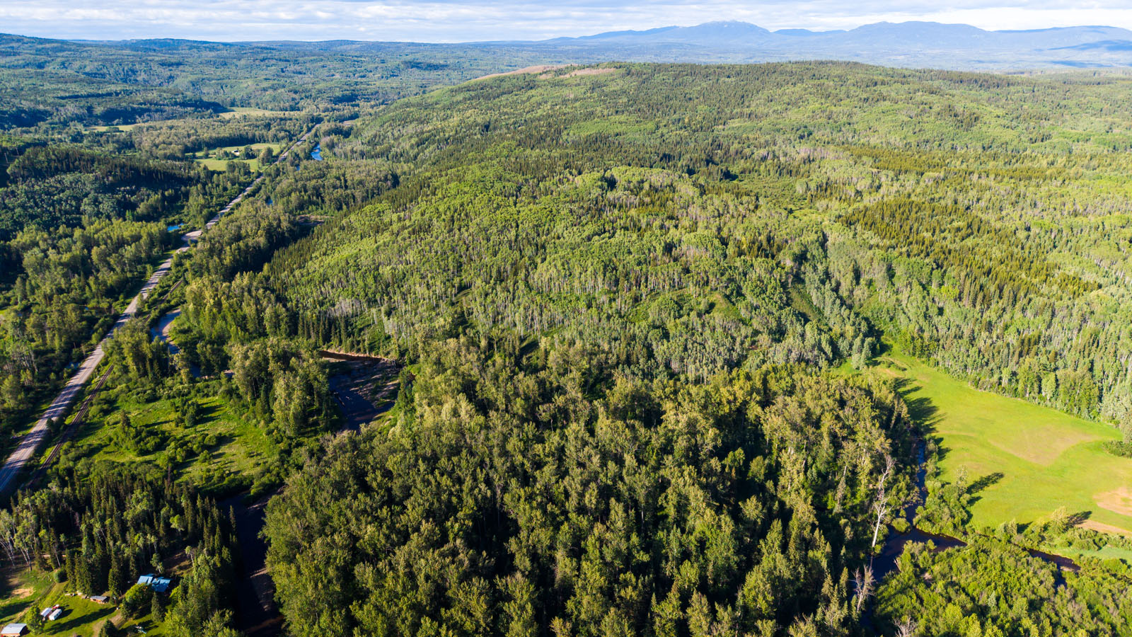
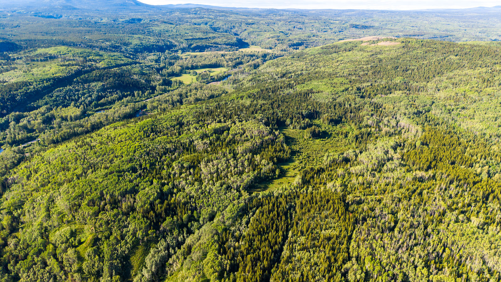
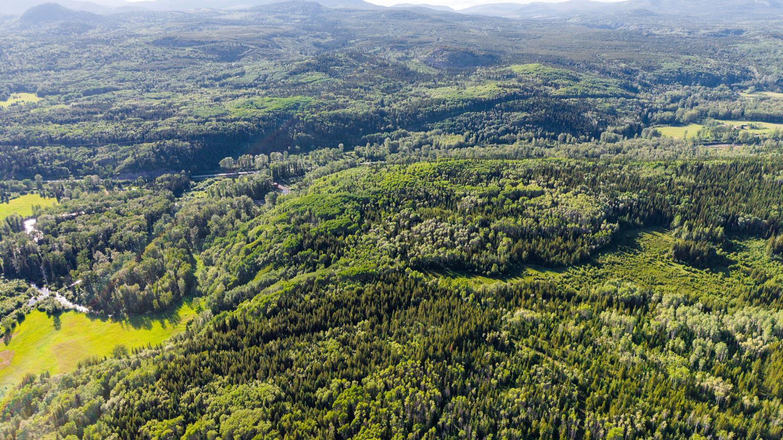
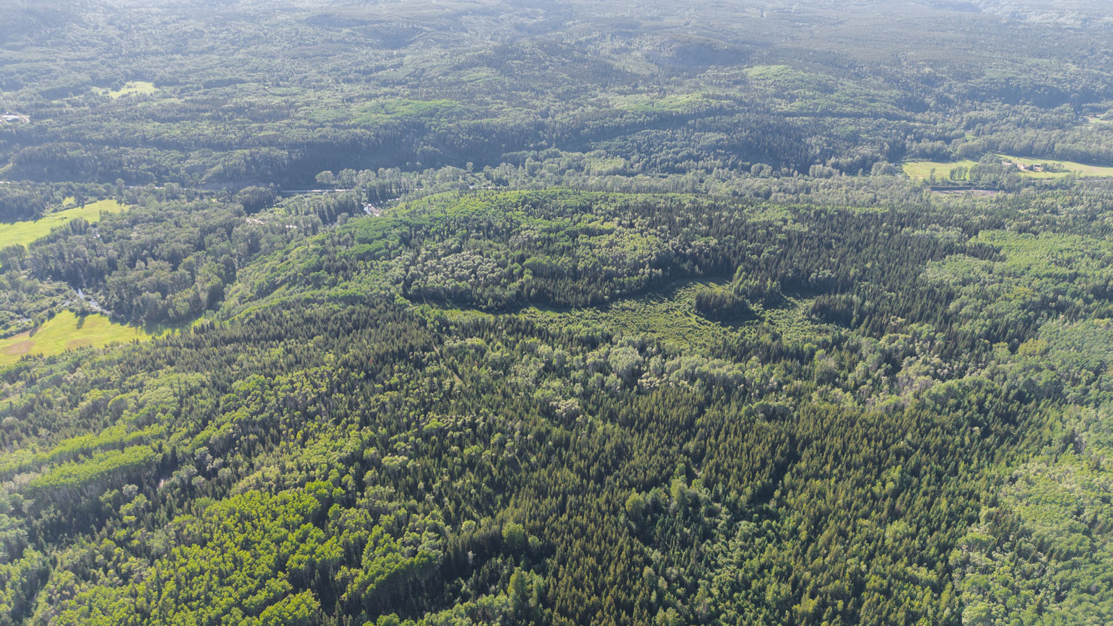
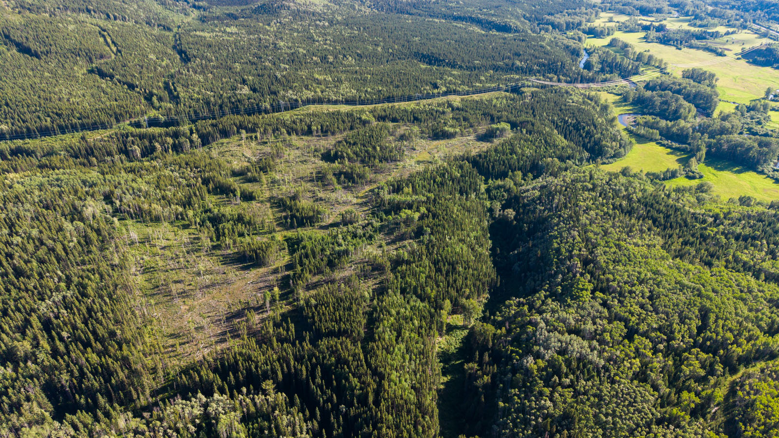
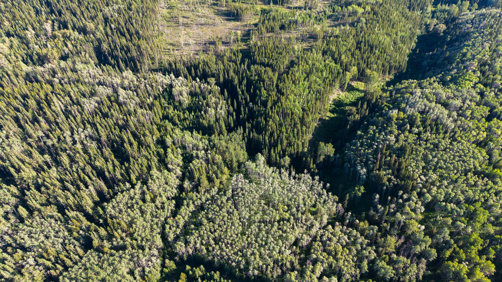
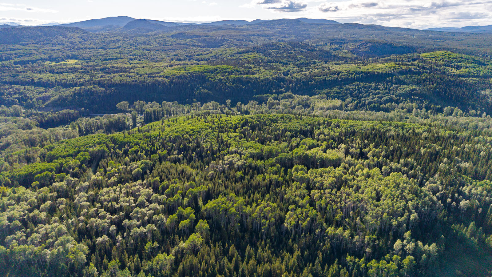
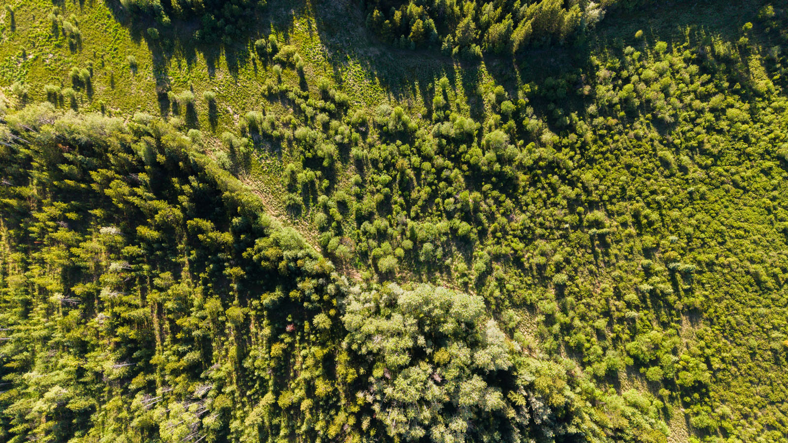
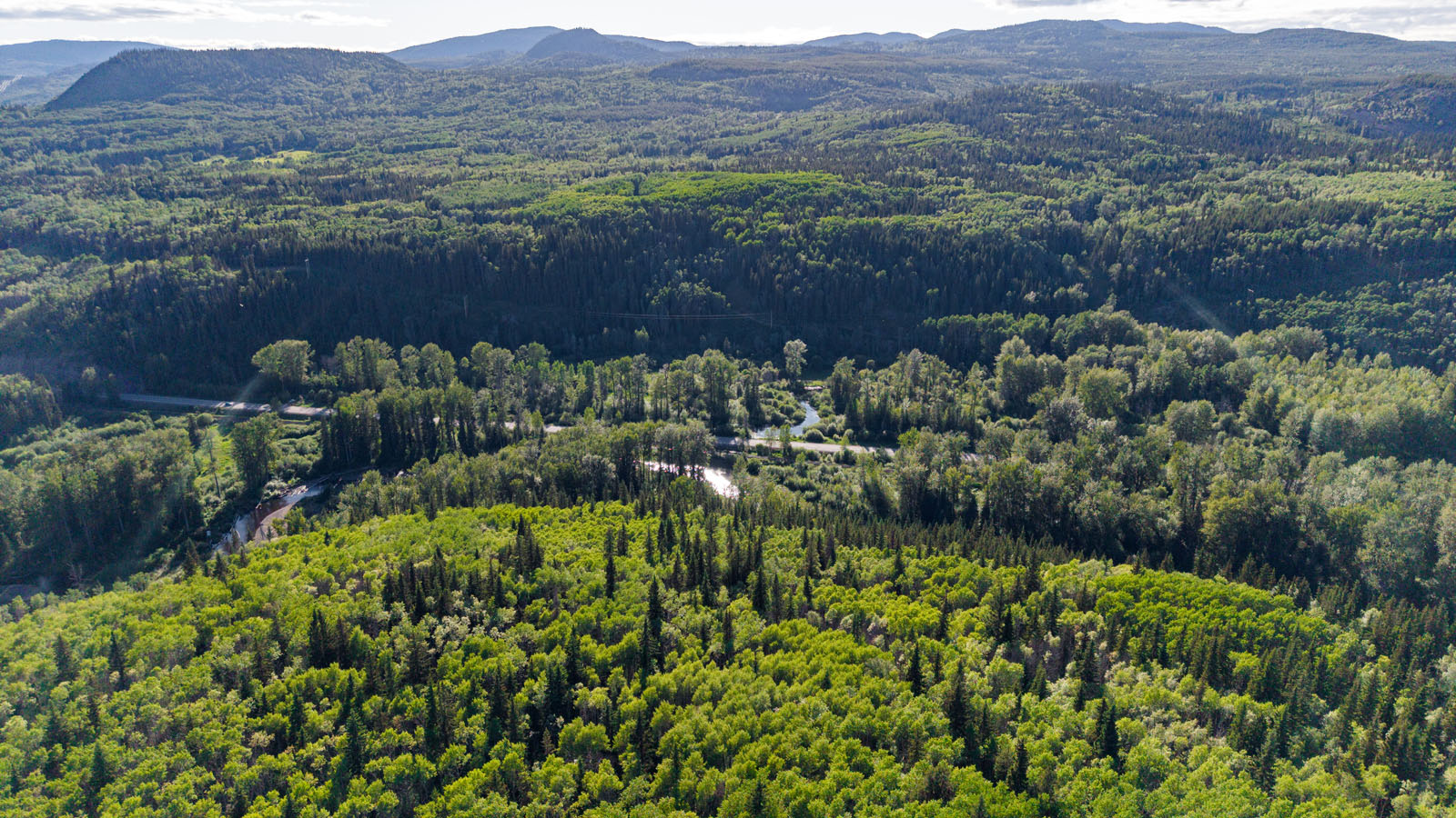
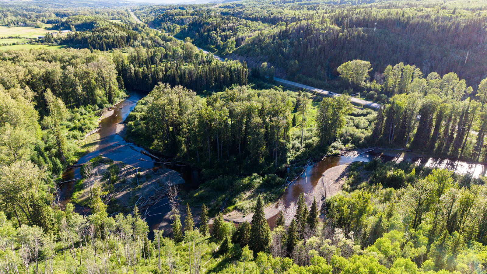
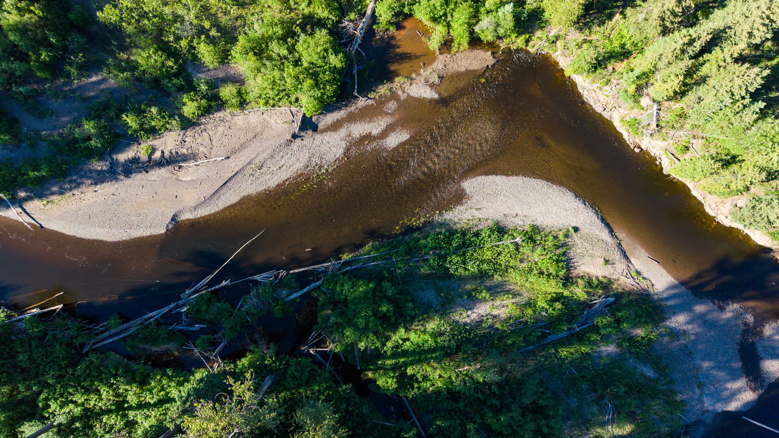
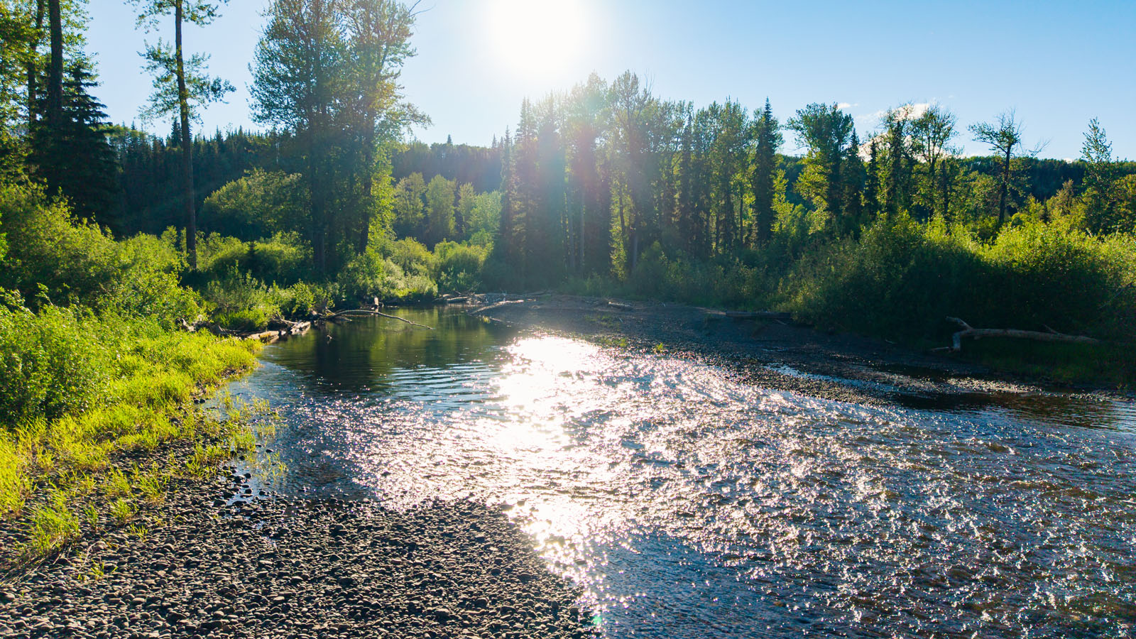
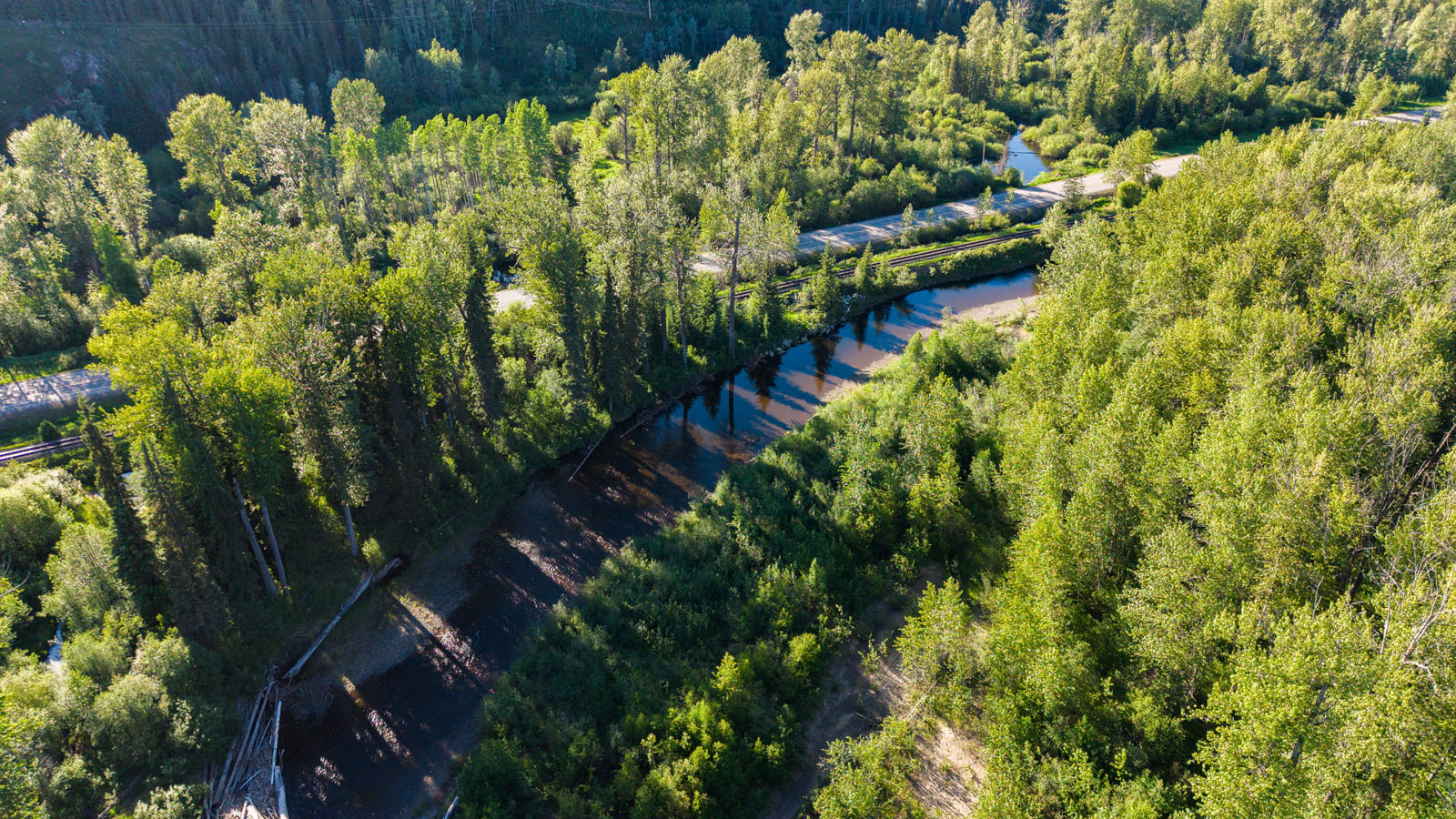
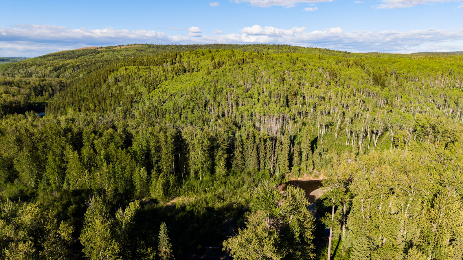
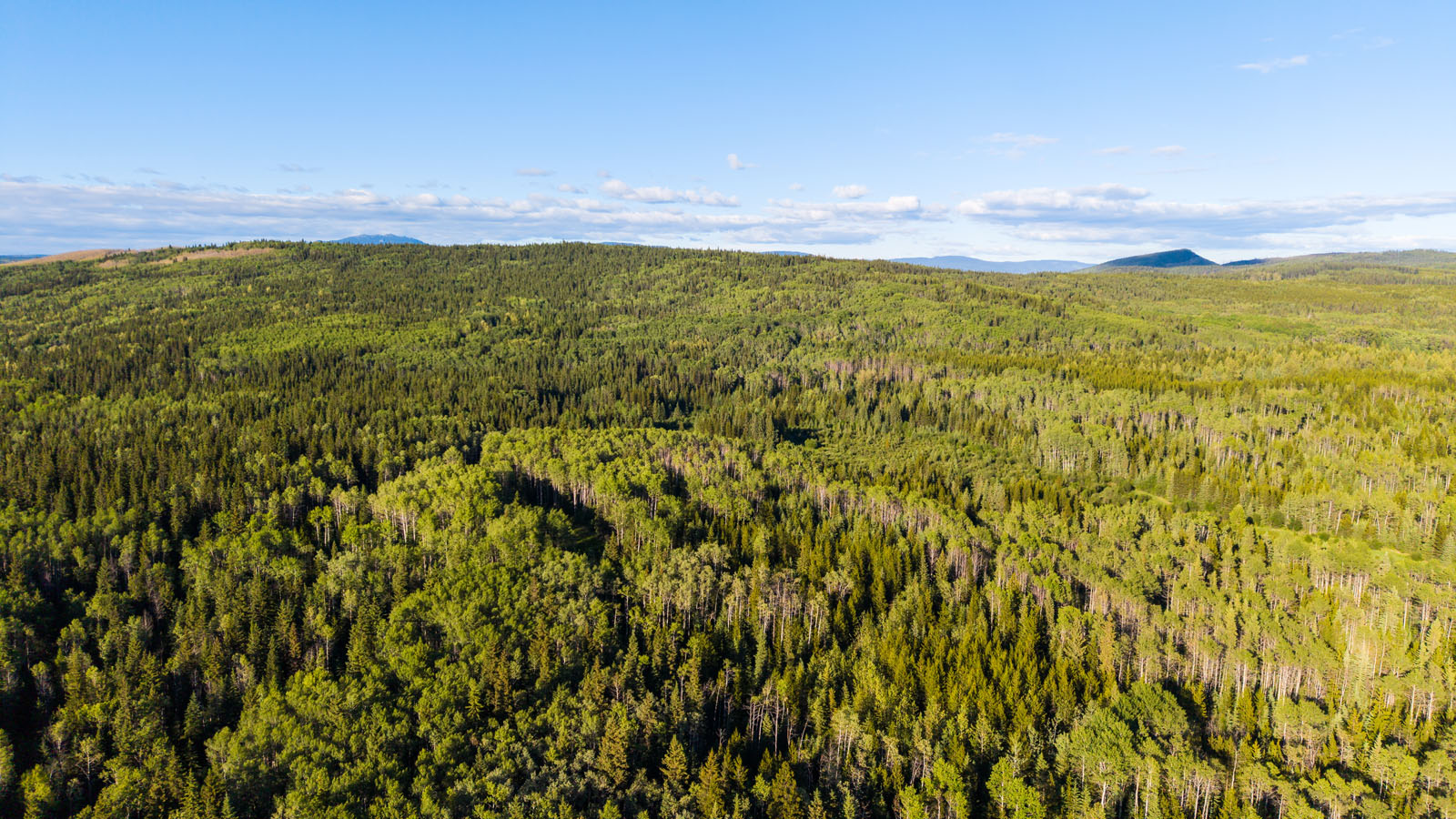
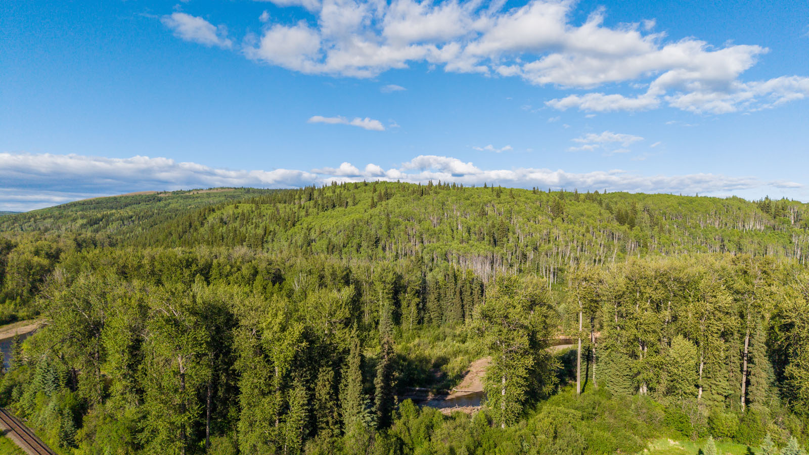
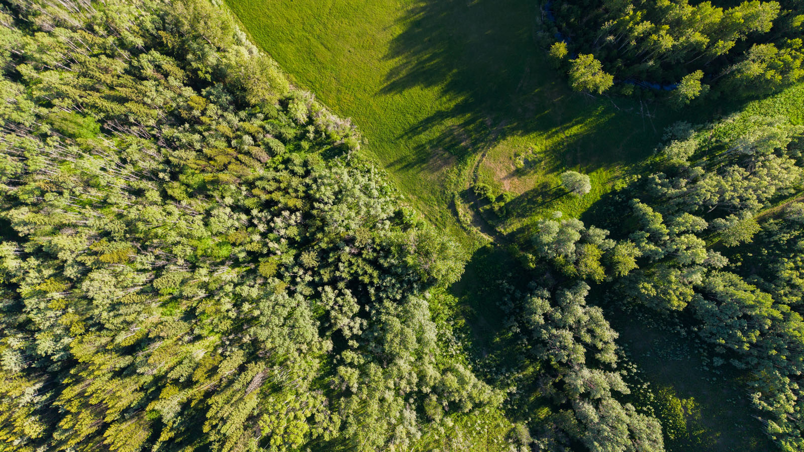
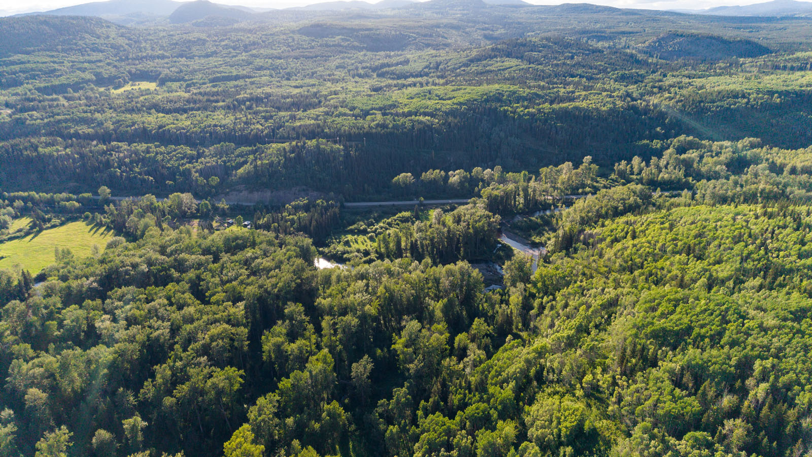
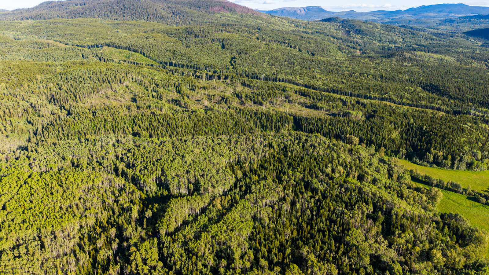
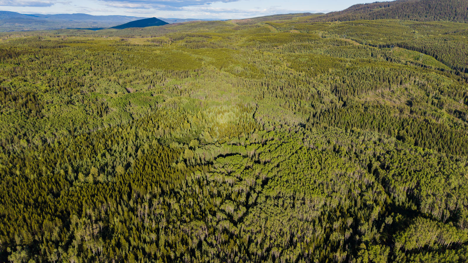
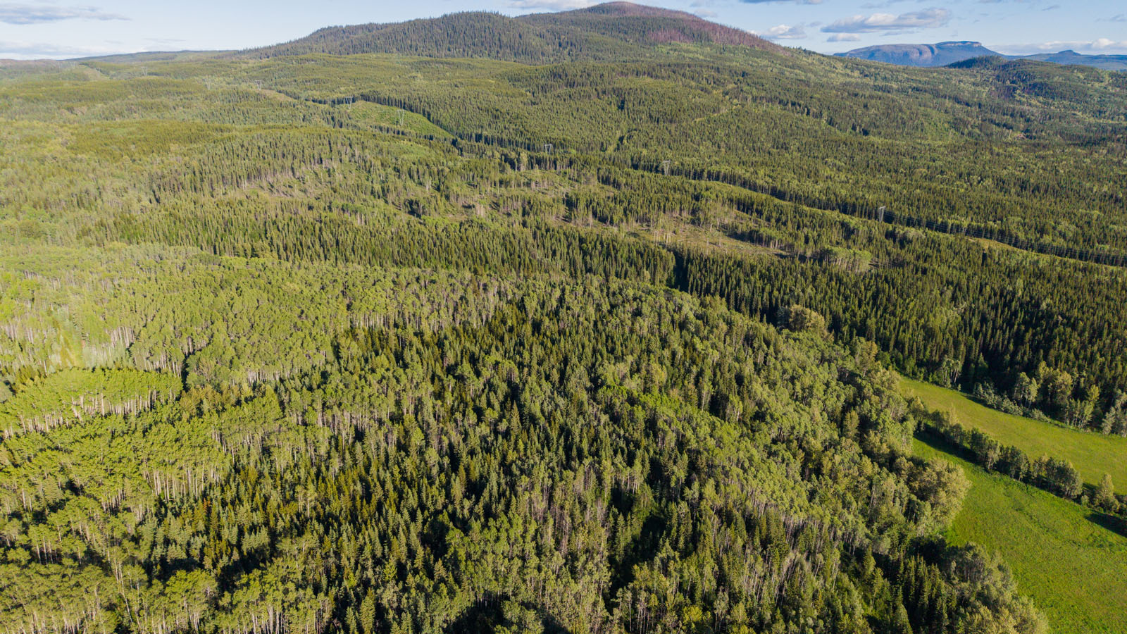
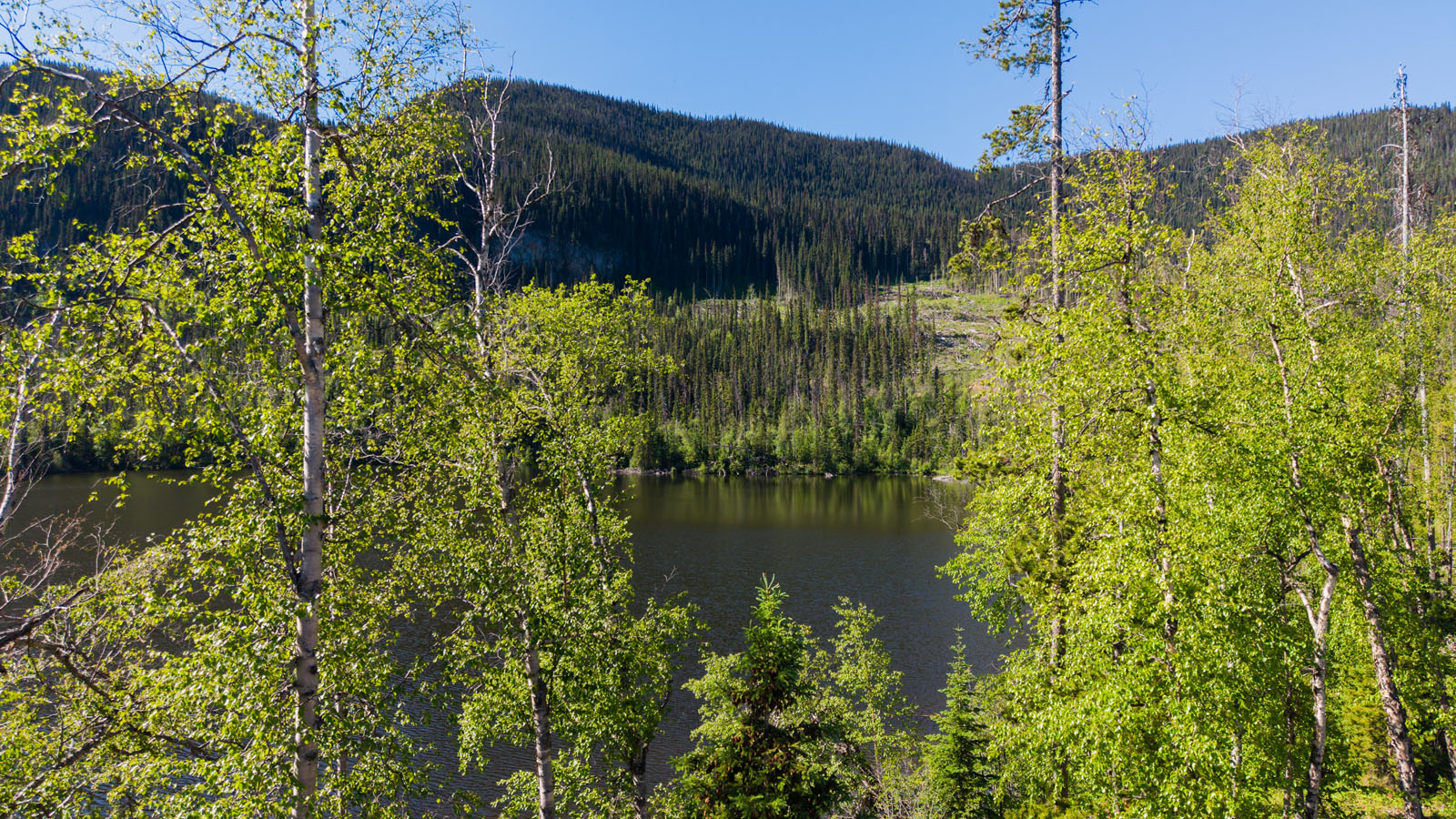
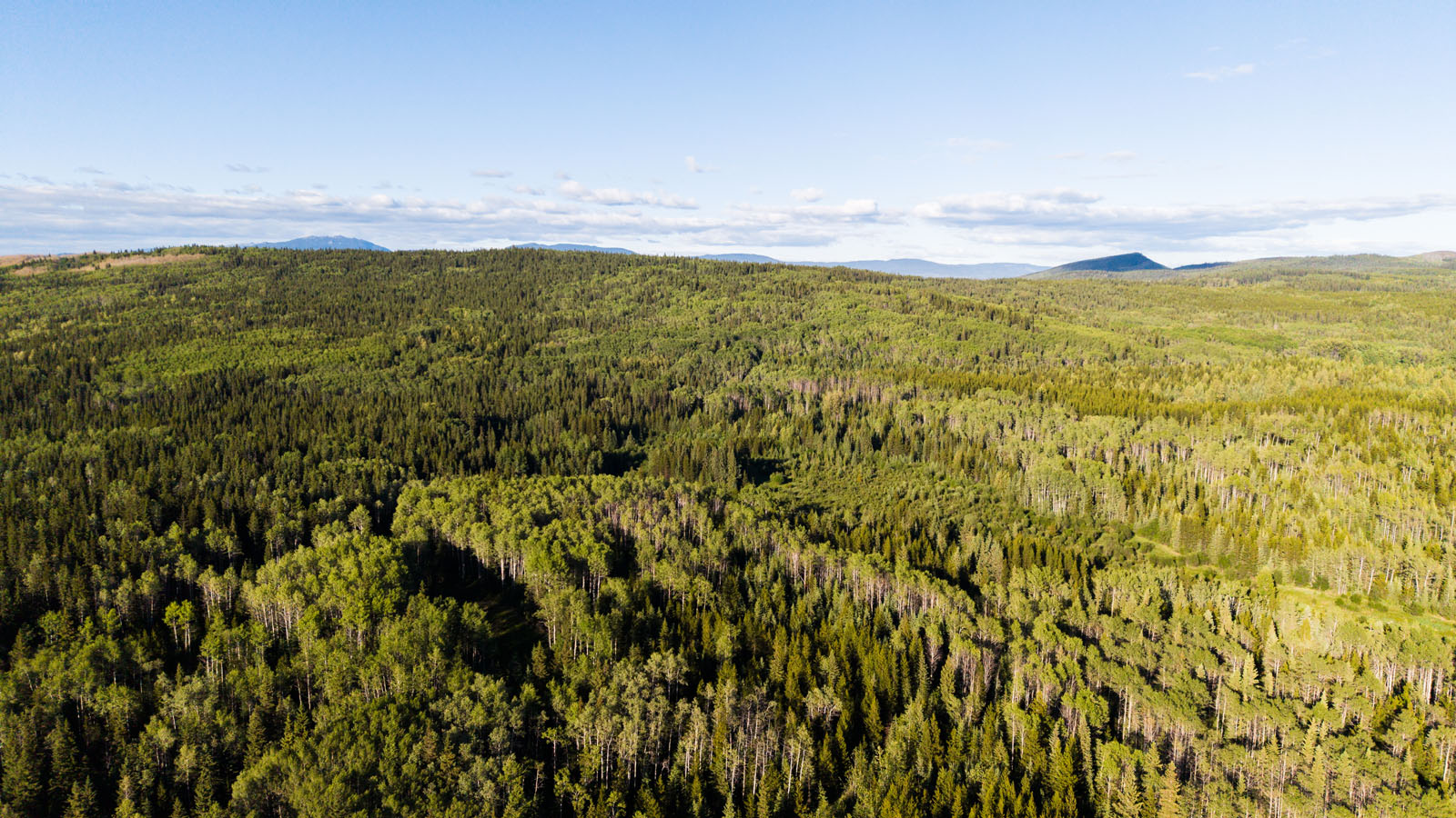
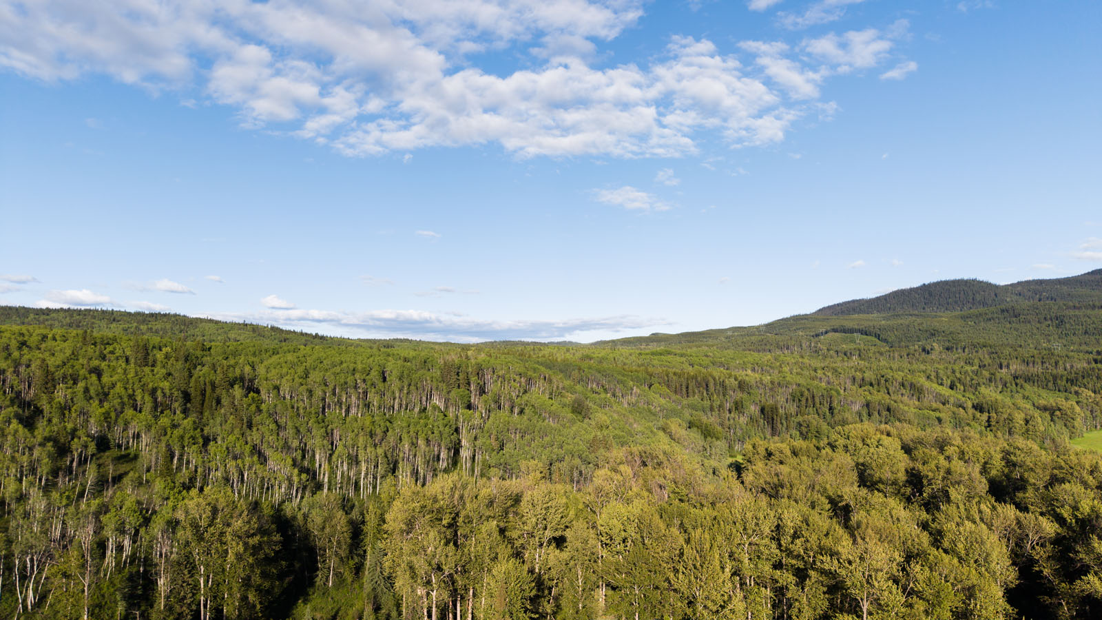
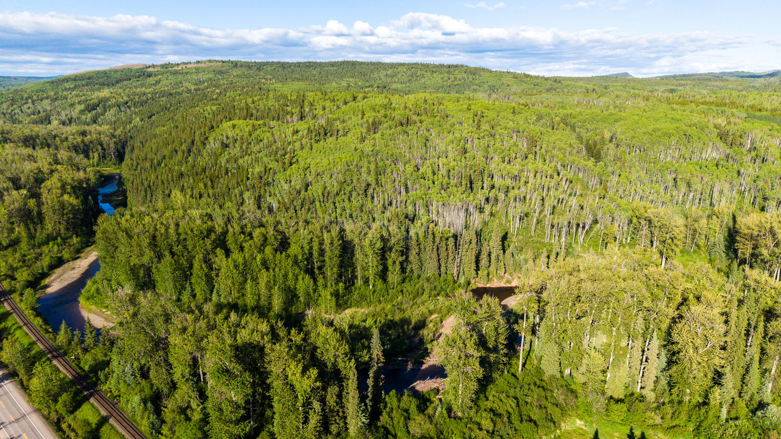
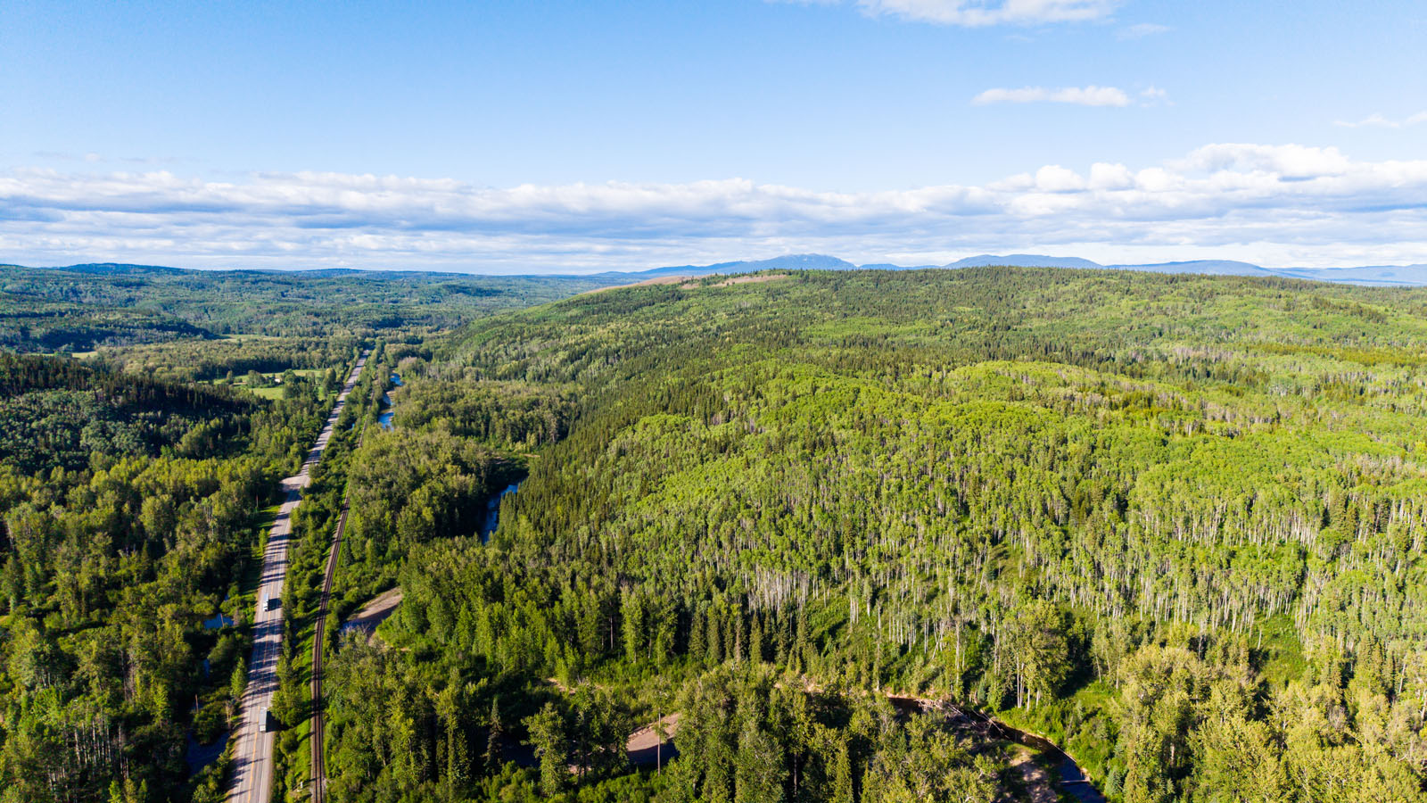
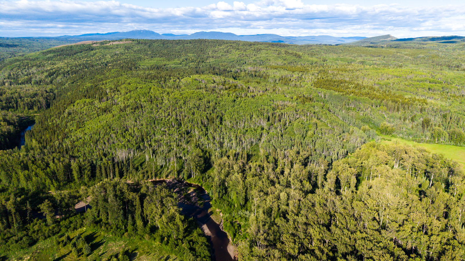
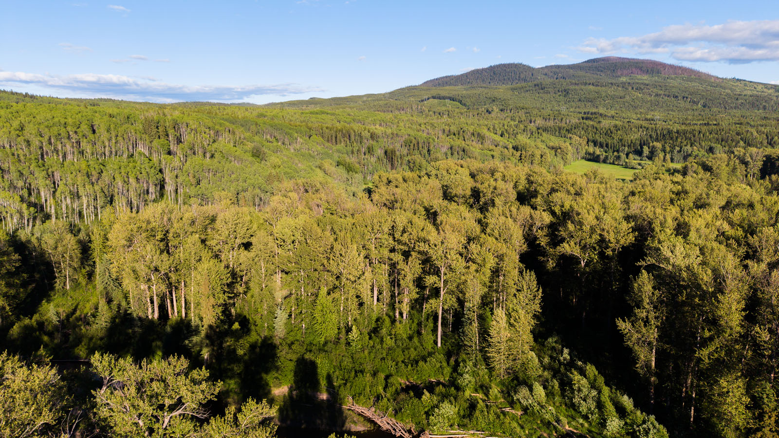
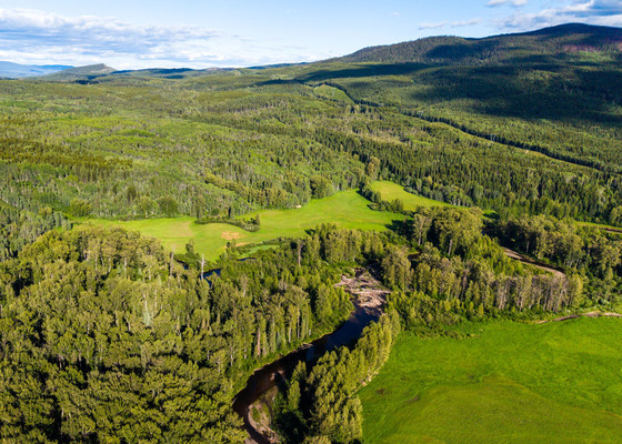
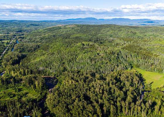
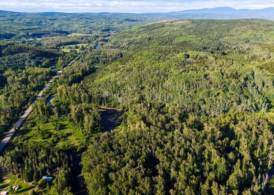
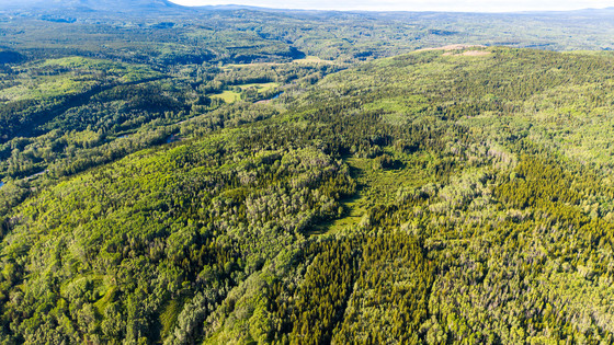
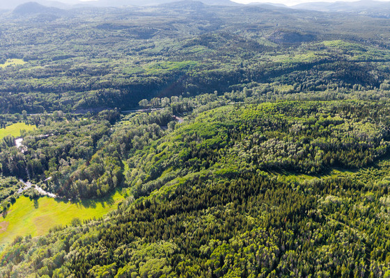
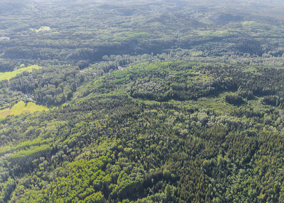
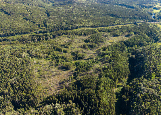
This three-parcel offering comprises 479.75 acres of remote and largely undeveloped land in the Topley area of northern British Columbia. There is reported merchantable timber together with large stands approaching merchantability, estimated by the seller at approximately 3,500 m3. The holding also includes significant wildlife habitat, Bulkley River frontage, a hay field, an S6 stream, and elevated areas with potential building-site appeal.
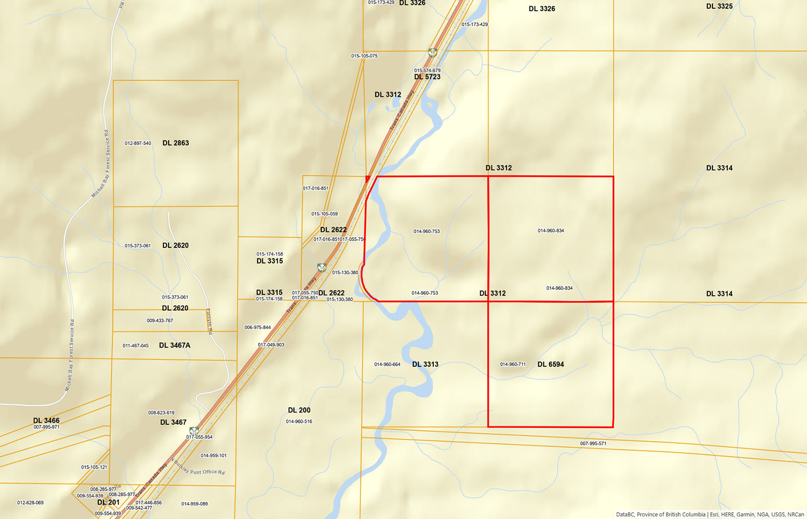
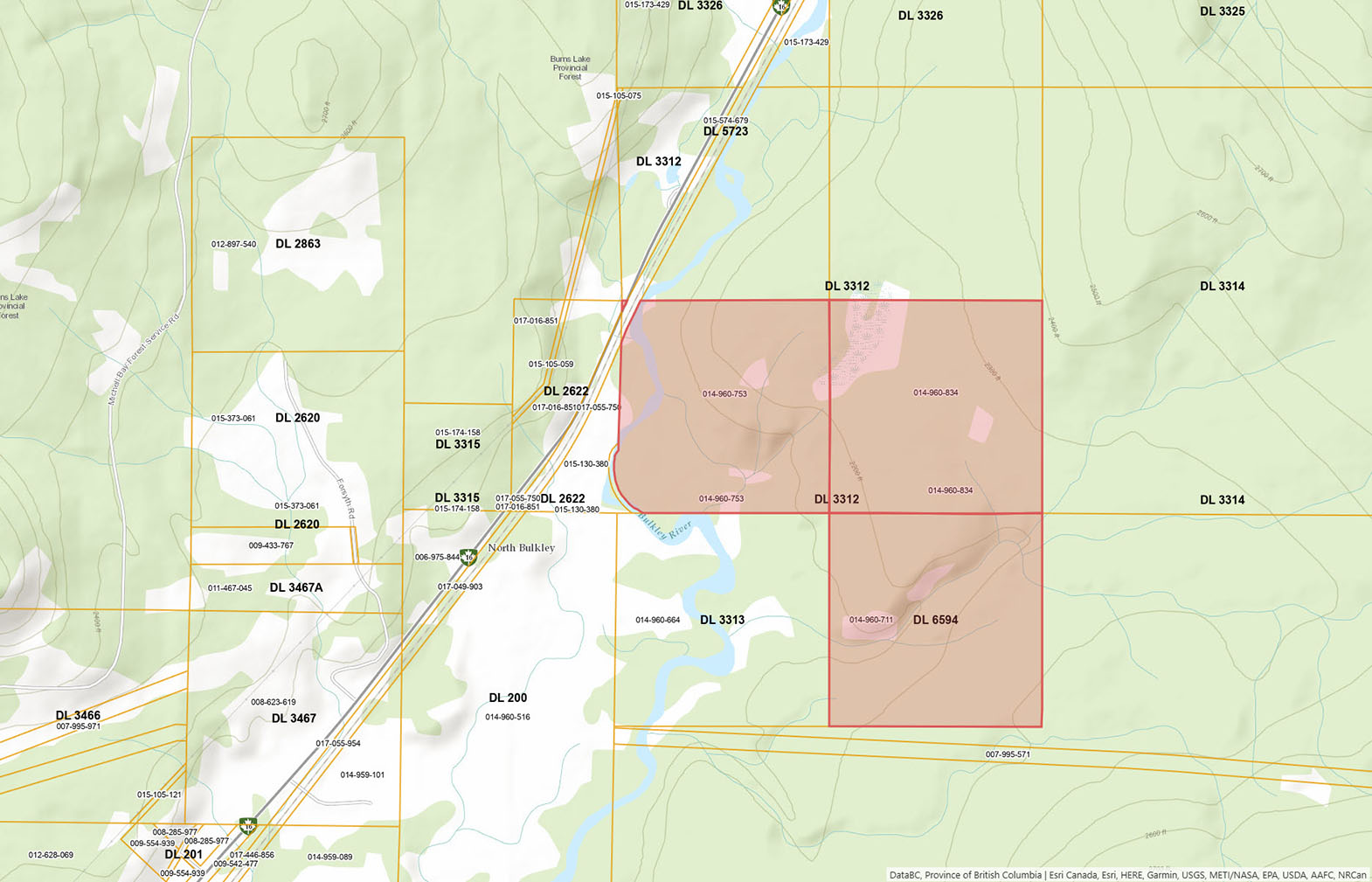
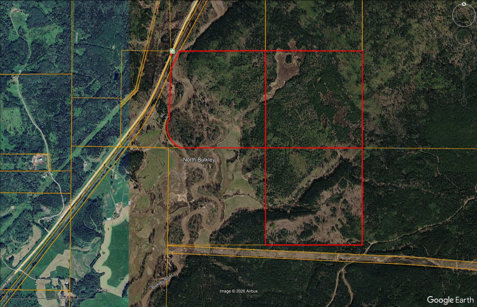
The southwest quarter of District Lot 3312 includes Bulkley River frontage, a hay field on the lower ground, and higher benches overlooking the surrounding landscape. The southeast quarter contains a large wetland identified as prime moose habitat. District Lot 6594 is crossed by an S6 stream and lies within approximately 120 metres of an all-season road.
Fair-weather roads and trails provide seasonal access from approximately early summer through mid-fall. An all-season road comes within approximately 1.3 kilometres of the southeast quarter of District Lot 3312. The titles also include registered easement rights over District Lots 200 and 3313; however, practical use of the route through District Lot 200 would require a bridge crossing over the Bulkley River as well as side channels. All three parcels are within the Agricultural Land Reserve and are designated Agriculture under the Houston, Topley and Granisle Rural Official Community Plan. Wildlife reported on the land includes moose, bears, deer, grouse and coyotes. This is a substantial northern BC land holding suited to buyers who understand remote access and are interested in timber, agriculture, wildlife habitat.
PID 014-960-753: 159.75 acres
PID 014-960-834: 160 acres
PID 014-960-711: 160 acres
DL3312 Highway 16 W - Houston, BC
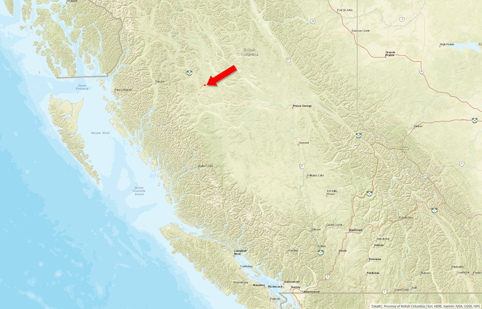
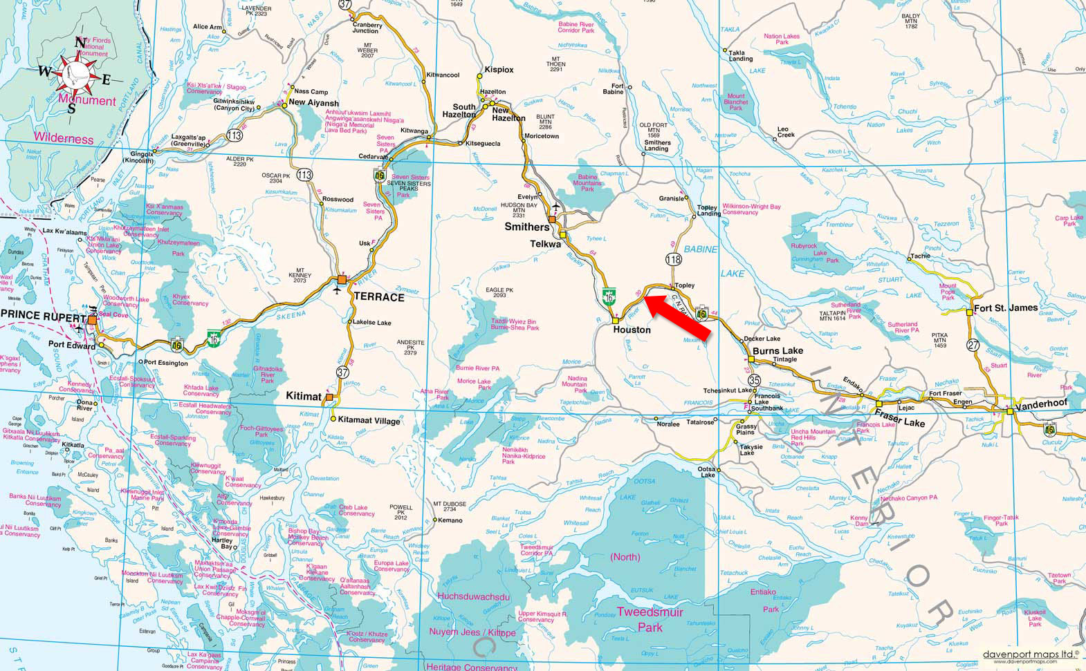
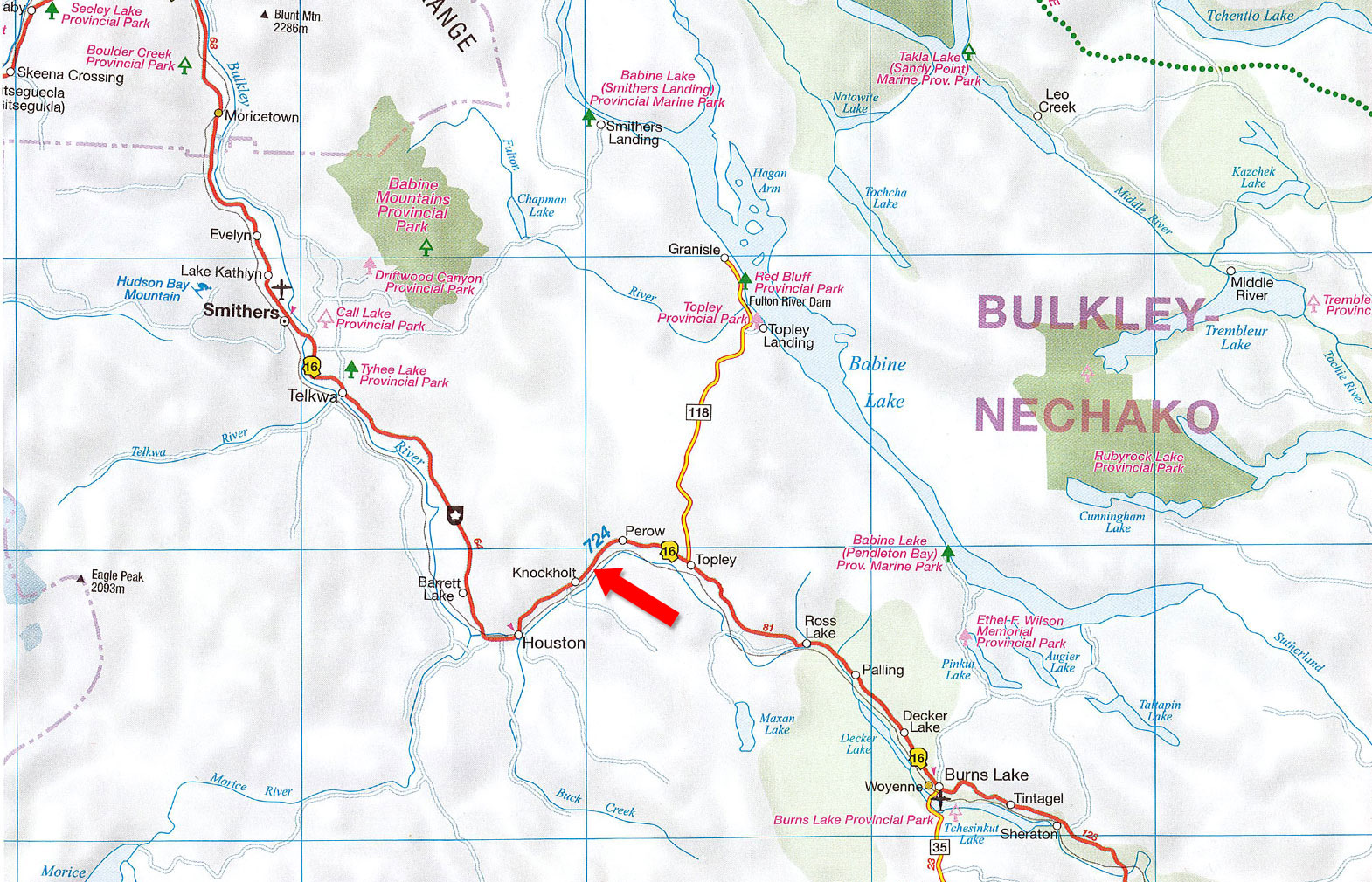
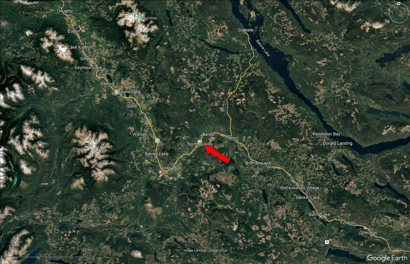
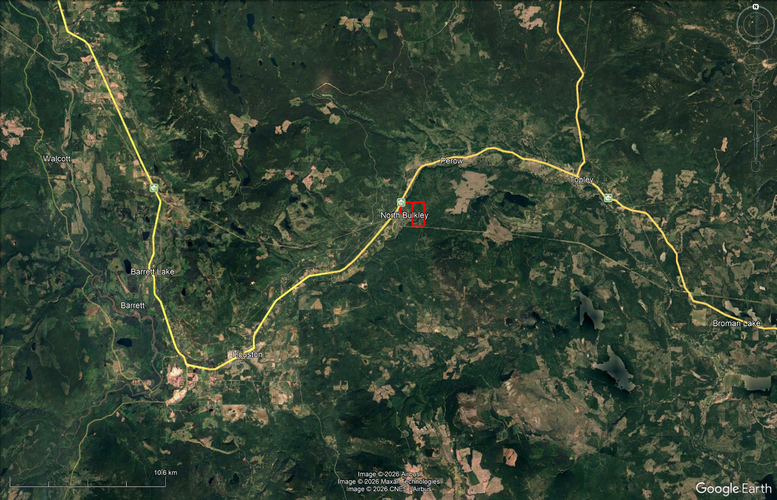
Topley area, Electoral Area G (Houston/Granisle Rural), Regional District of Bulkley-Nechako, British Columbia. The lands are situated along the Highway 16 and Bulkley River corridor east of Houston and west of Topley.
From Houston, travel east on Yellowhead Highway/BC-16 toward Topley. The mapped coordinate is approximately 15.7 kilometres, or about 11 minutes, from Houston by highway. Final access varies by parcel and continues by local roads, fair-weather roads and/or trails. Access conditions are seasonal, and all viewings should be arranged with the listing agent before travelling to the property.
The subject lands are located in the rural Highway 16 corridor between Houston and Topley in the Regional District of Bulkley-Nechako. This area is characterized by forest, agricultural land, river corridors, lakes and extensive wildlife habitat. Forestry, agriculture and local resource-based businesses remain important to the area.
Houston is the nearest full-service community. The mapped location is approximately 15.7 kilometres, or about 11 minutes, east of Houston by Highway 16. Houston provides grocery stores, fuel, building supplies, professional services and other day-to-day amenities. The community sits on the Bulkley River and serves as an important service centre for the surrounding rural and resource lands.
Farther west, Smithers is the principal regional service centre for the Bulkley Valley, offering broader retail, medical, professional, transportation and government services. The community is also a year-round recreation hub, with access to Hudson Bay Mountain and the surrounding backcountry.
The lands are predominantly forested, with seller-reported merchantable timber and substantial stands approaching merchantability. The seller estimates approximately 3,500 m3 of soon-to-be-merchantable timber. Wetland and riparian vegetation occur around the large wetland on the southeast quarter, the Bulkley River frontage and the S6 stream through District Lot 6594. The southwest quarter also includes an established hay field.
The Bulkley River and the surrounding region are widely known for fishing, wildlife viewing, hunting and backcountry recreation. Wildlife reported on the property includes moose, bears, deer, grouse and coyotes, with the large wetland on the southeast quarter identified as prime moose habitat.
The broader Bulkley-Nechako region offers extensive opportunities for hiking, trail riding, snowmobiling and backcountry exploration where permitted. Smithers and Hudson Bay Mountain provide additional four-season recreation within the wider region.
The Houston-Topley area has long been shaped by forestry, agriculture, transportation and the Bulkley River. Topley developed as a small service community at the junction of Highways 16 and 118, supporting the surrounding rural and resource lands. The area continues to retain a distinctly northern, working-land character.
The three parcels form an adjoining land holding in the Range 5 Coast District. The southwest quarter of District Lot 3312 lies along the Bulkley River, the southeast quarter adjoins it to the east, and District Lot 6594 lies immediately south of the southeast quarter. Parcel boundaries, access routes and watercourse locations should be independently confirmed by buyers.
PIDs: 014-960-711 / 014-960-753 / 014-960-834 Highway corner coordinates: 54.49134°N, 126.48664°W
479.75 acres across three separately titled parcels within the Agricultural Land Reserve. Seller-reported merchantable timber and seller-estimated stands approaching merchantability, estimated at approximately 3,500 m3. Bulkley River frontage, an established hay field and elevated potential building areas on the southwest quarter. A substantial wetland reported as prime moose habitat on the southeast quarter. An S6 stream crosses District Lot 6594. Mixed Ag1 and RR1 zoning, with Agriculture OCP designation. All-season roads come within approximately 120 metres of District Lot 6594 and 1.3 kilometres of the southeast quarter. Buyers should complete independent due diligence regarding timber volumes, access, environmental features, ALR requirements and permitted uses.
No known utility services are connected. The lands are unimproved bare land.
No buildings or other structural improvements. The southwest quarter includes an existing hay field, and fair-weather roads and trails cross or approach portions of the holding.
PID 014-960-753: $406.36
PID 014-960-711: $285.44
PID 014-960-834: $285.44
Total annual property taxes: $977.24 (2025)
PID 014-960-711 (DL 6594): Ag1 - Agricultural
PID 014-960-753 (SW ¼ DL 3312): Ag1 - Agricultural
PID 014-960-834 (SE ¼ DL 3312): RR1 - Rural Resource
DISTRICT LOT 6594 RANGE 5 COAST DISTRICT
PID: 014-960-711
THE SOUTHWEST 1/4 OF DISTRICT LOT 3312 RANGE 5 COAST DISTRICT EXCEPT PLAN 5351
PID: 014-960-753
THE SOUTHEAST 1/4 OF DISTRICT LOT 3312 RANGE 5 COAST DISTRICT
PID: 014-960-834
Multiple Listing Service®
 +8 maps
Our property descriptions and geographical information are taken from the BC Assessment Authority, Land Titles Office, government maps and other sources. While LandQuest® does not guarantee the information, we believe it to be accurate, but should not be relied upon without verification. This communication is not intended to cause or induce breach of an existing agency agreement.
Topley
 19℃
12℃
19℃
12℃