


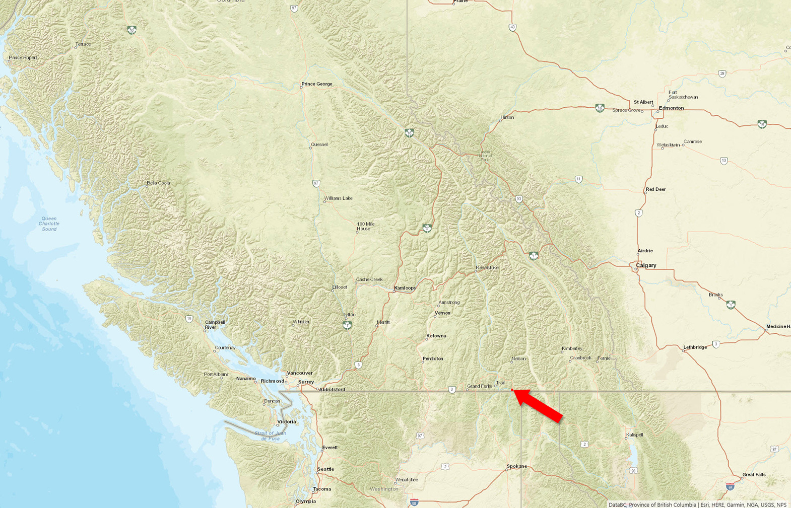
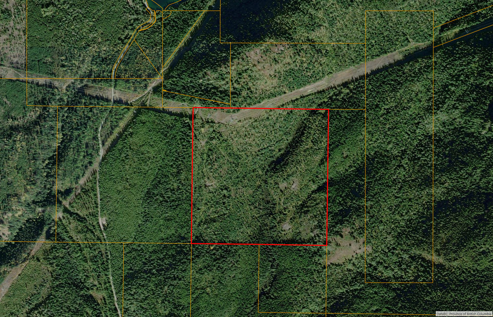
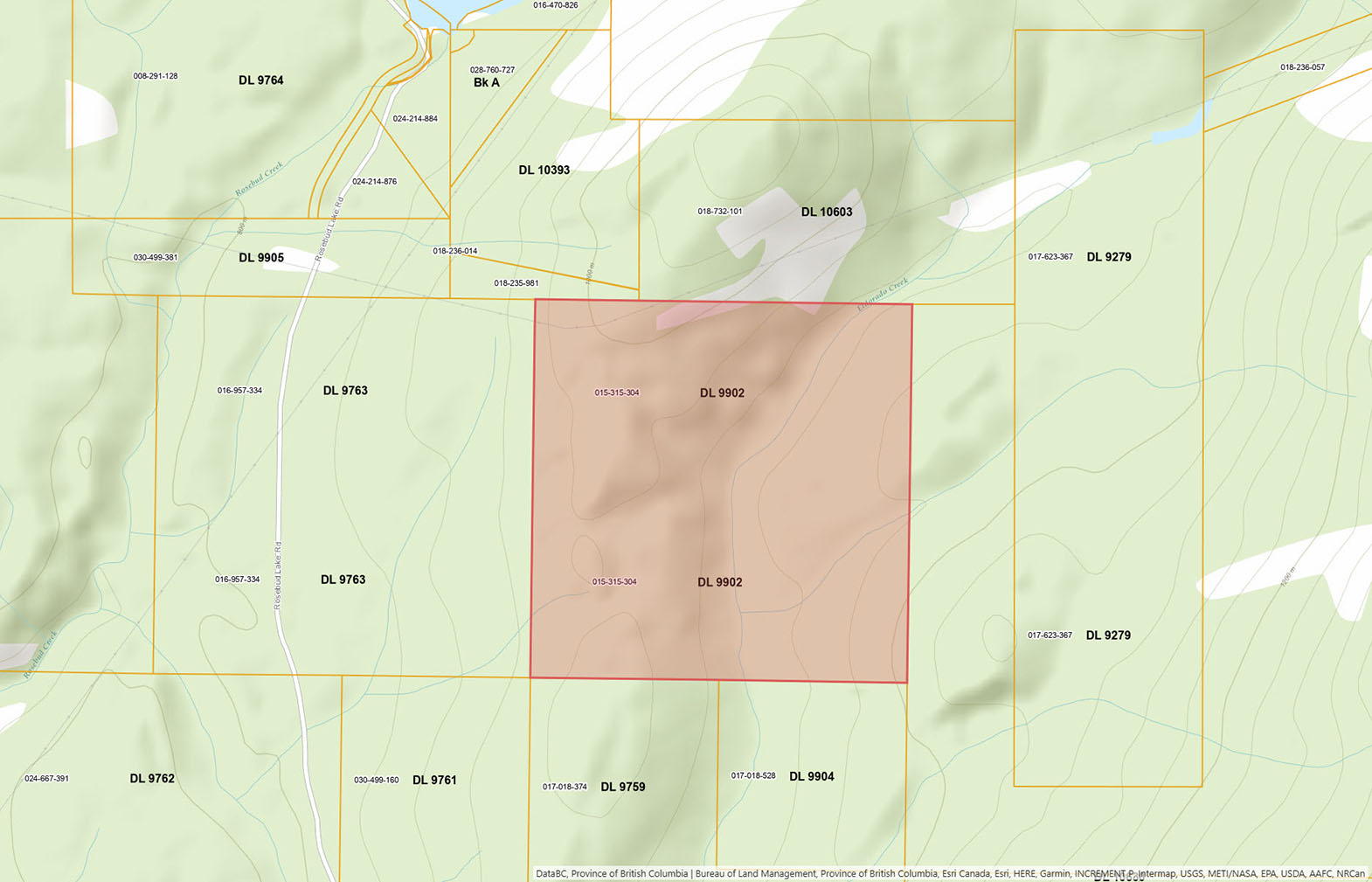
160 south-facing acres near Rosebud Lake in the West Kootenays, a few kilometres from the US border. Three springs, Eldorado Creek, a pond, and several prepared building sites. Zoned R4, bordered by Crown land, ideal for a home, hobby farm, or recreational retreat.
Foreign Buyer Ban does not apply to this property
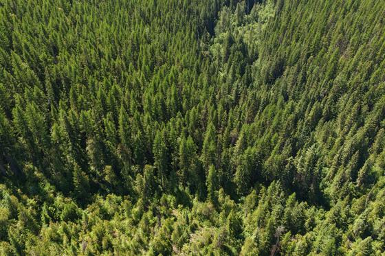
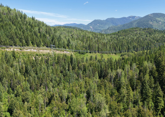
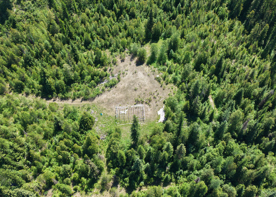 +11 photos
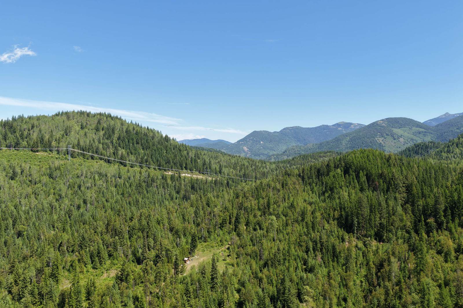
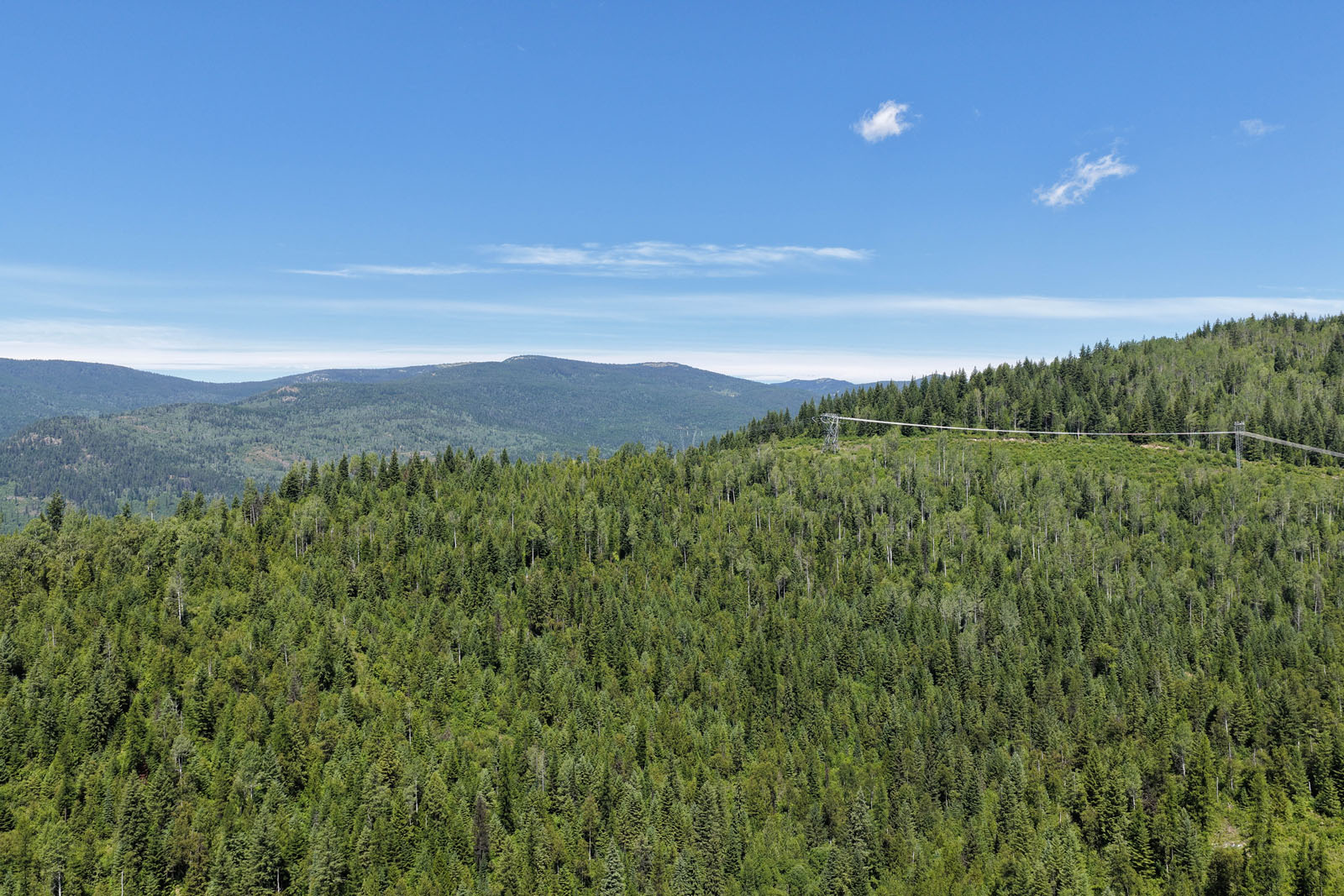
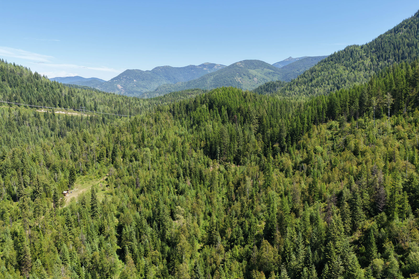
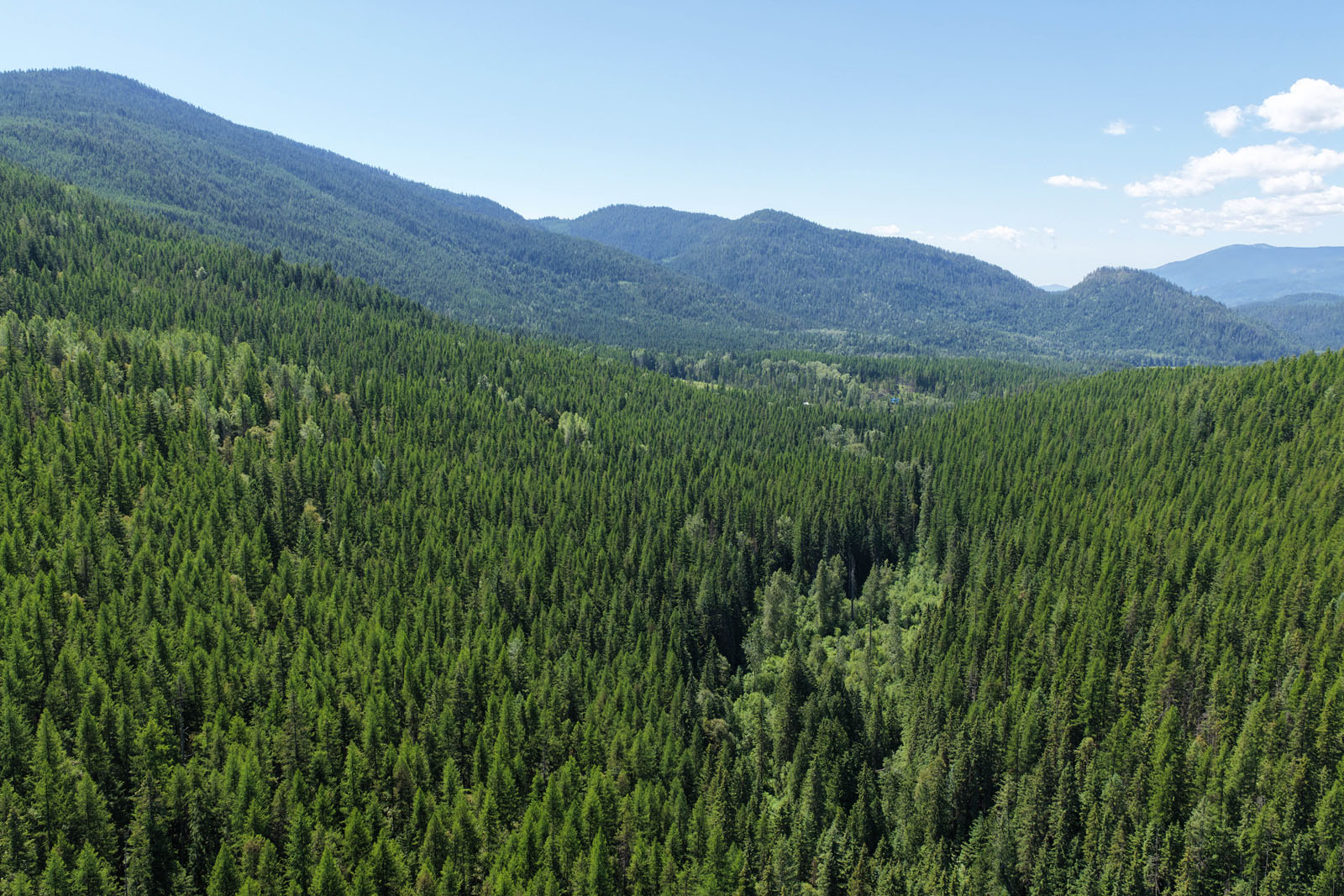
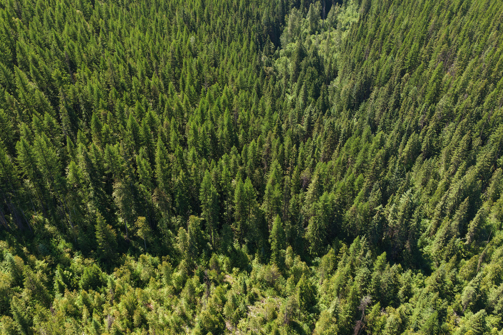
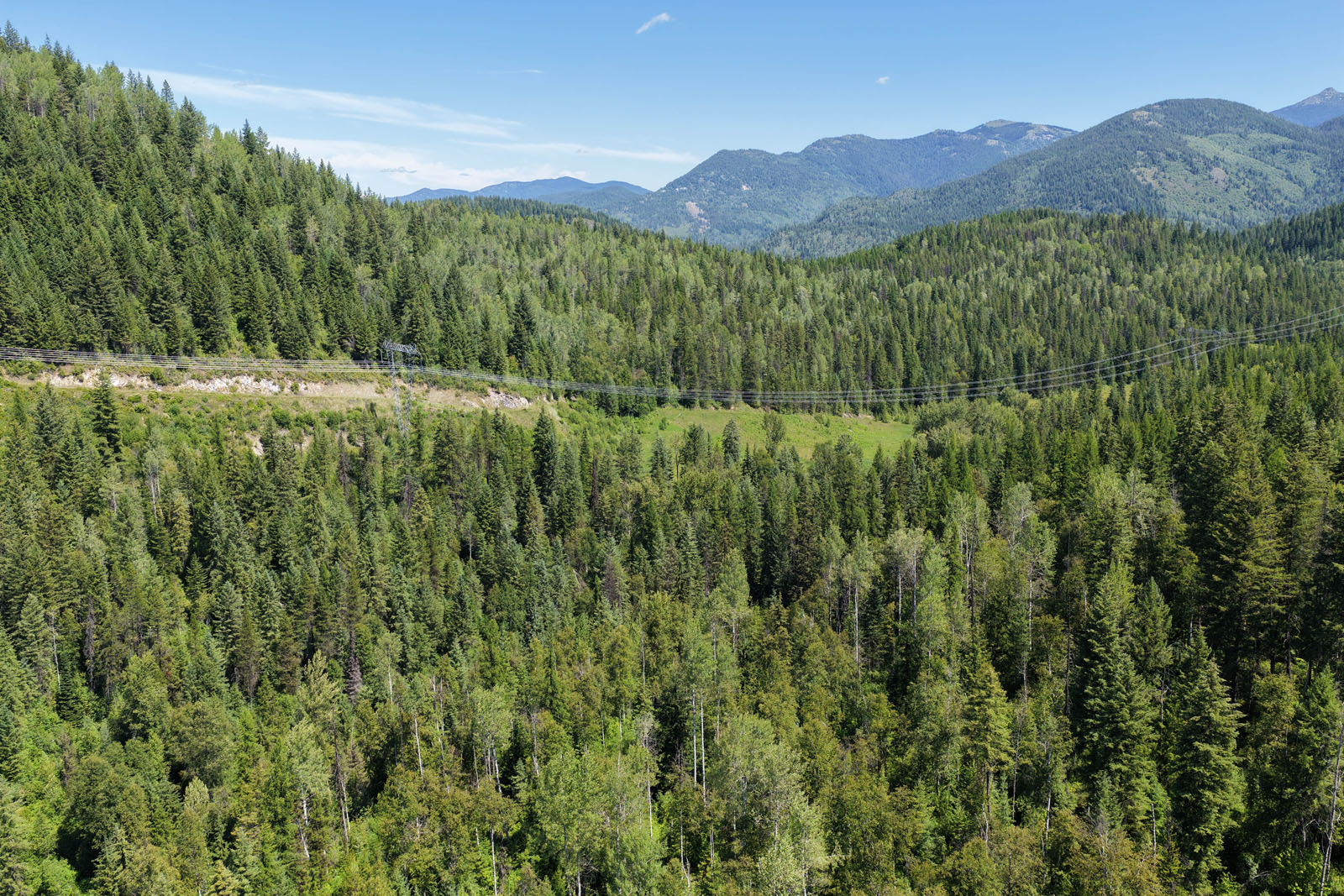
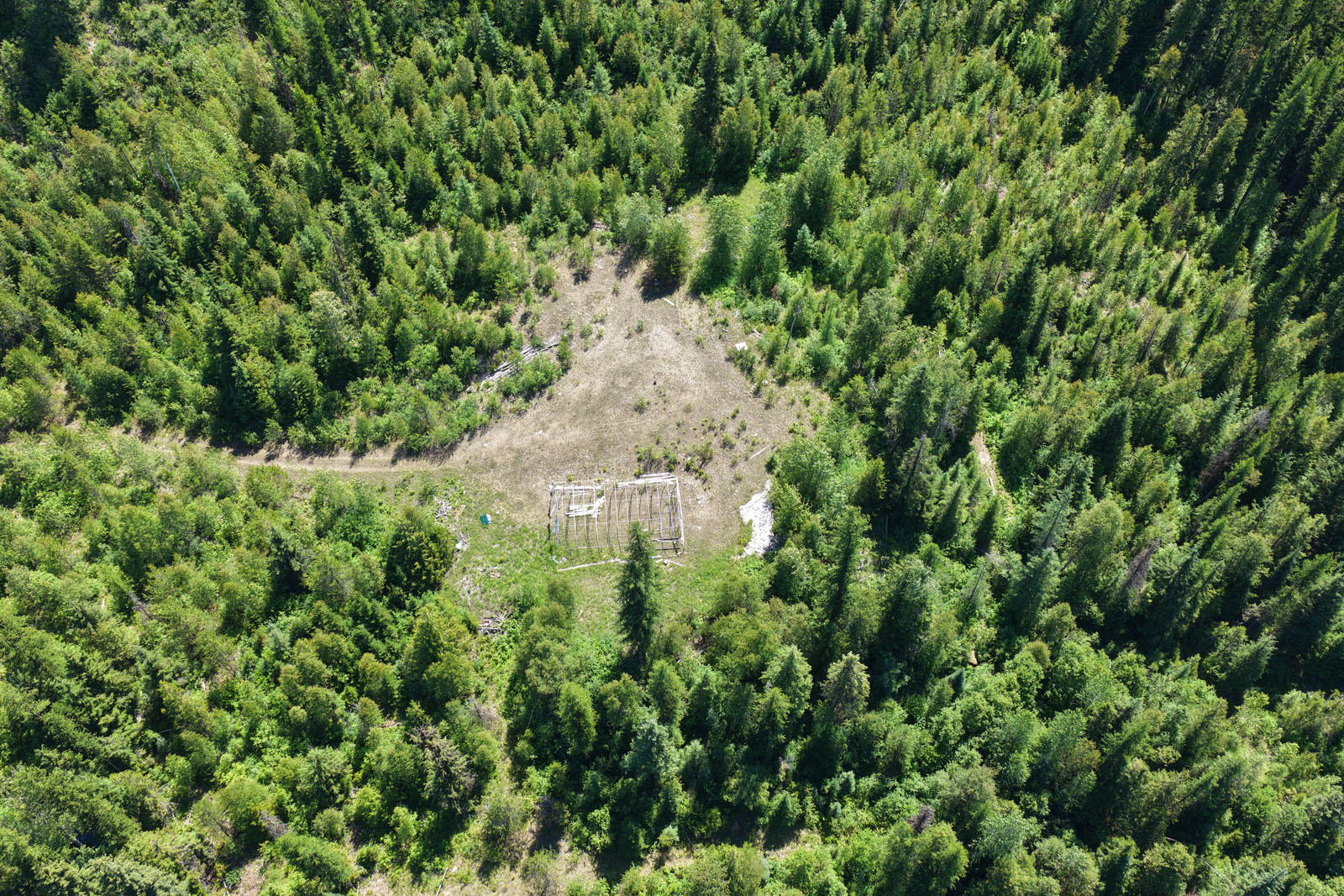
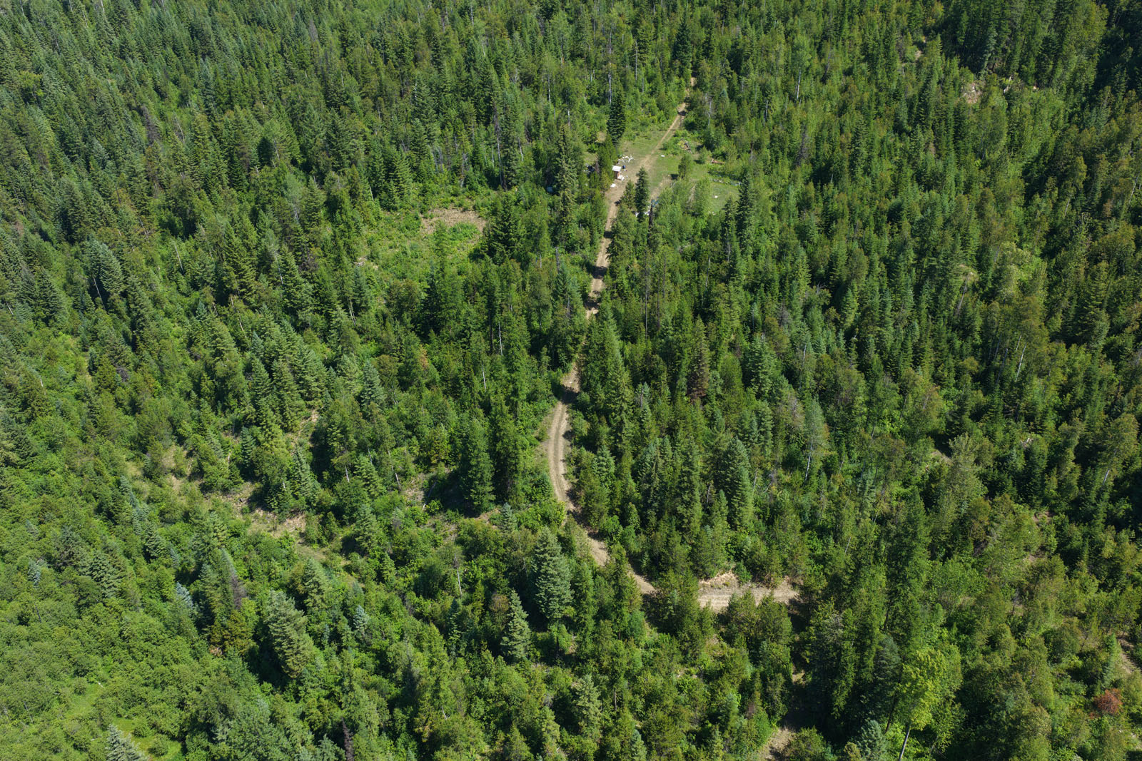
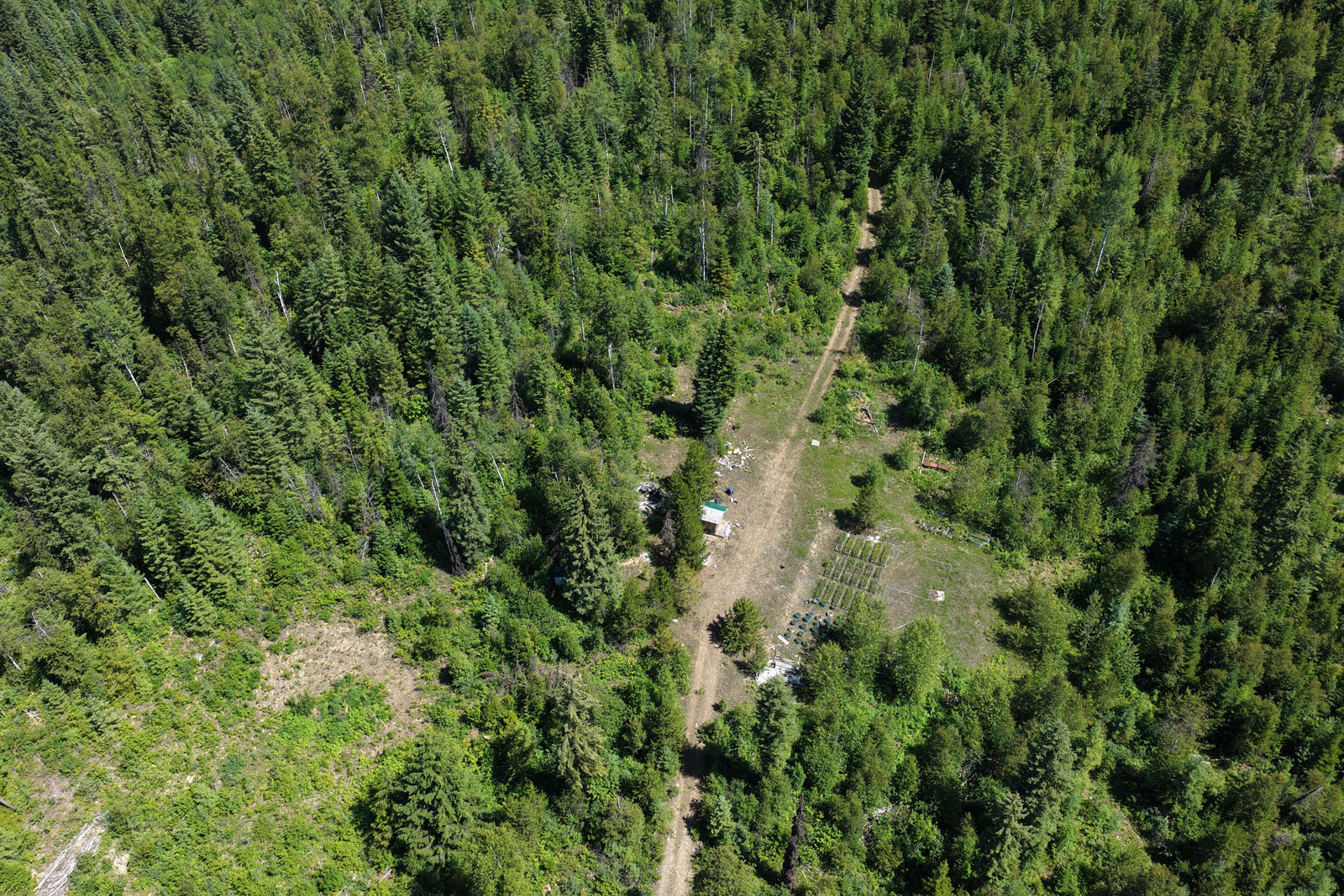
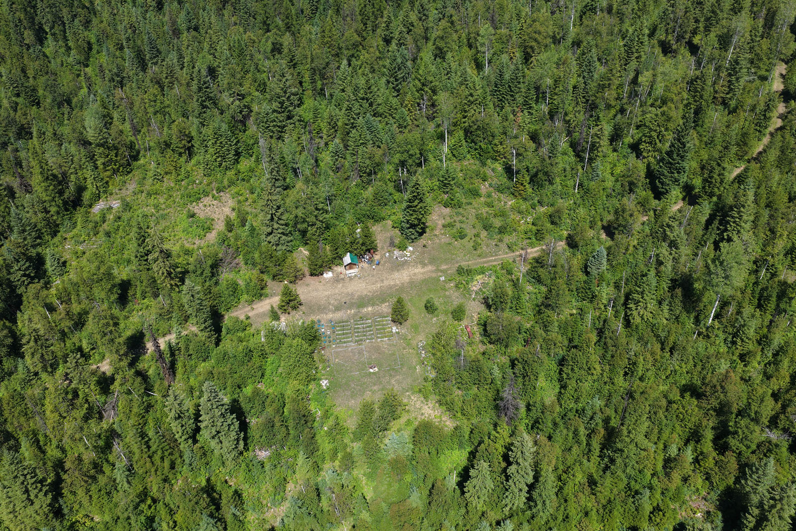
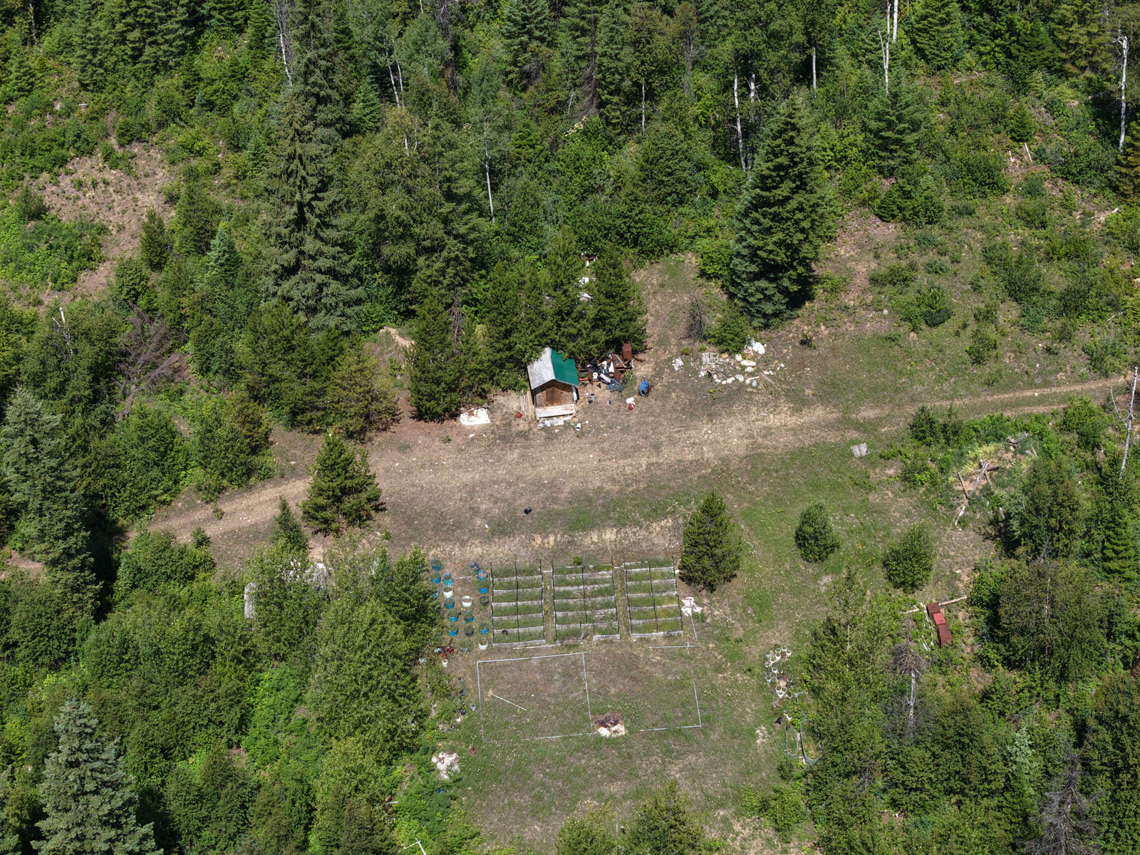
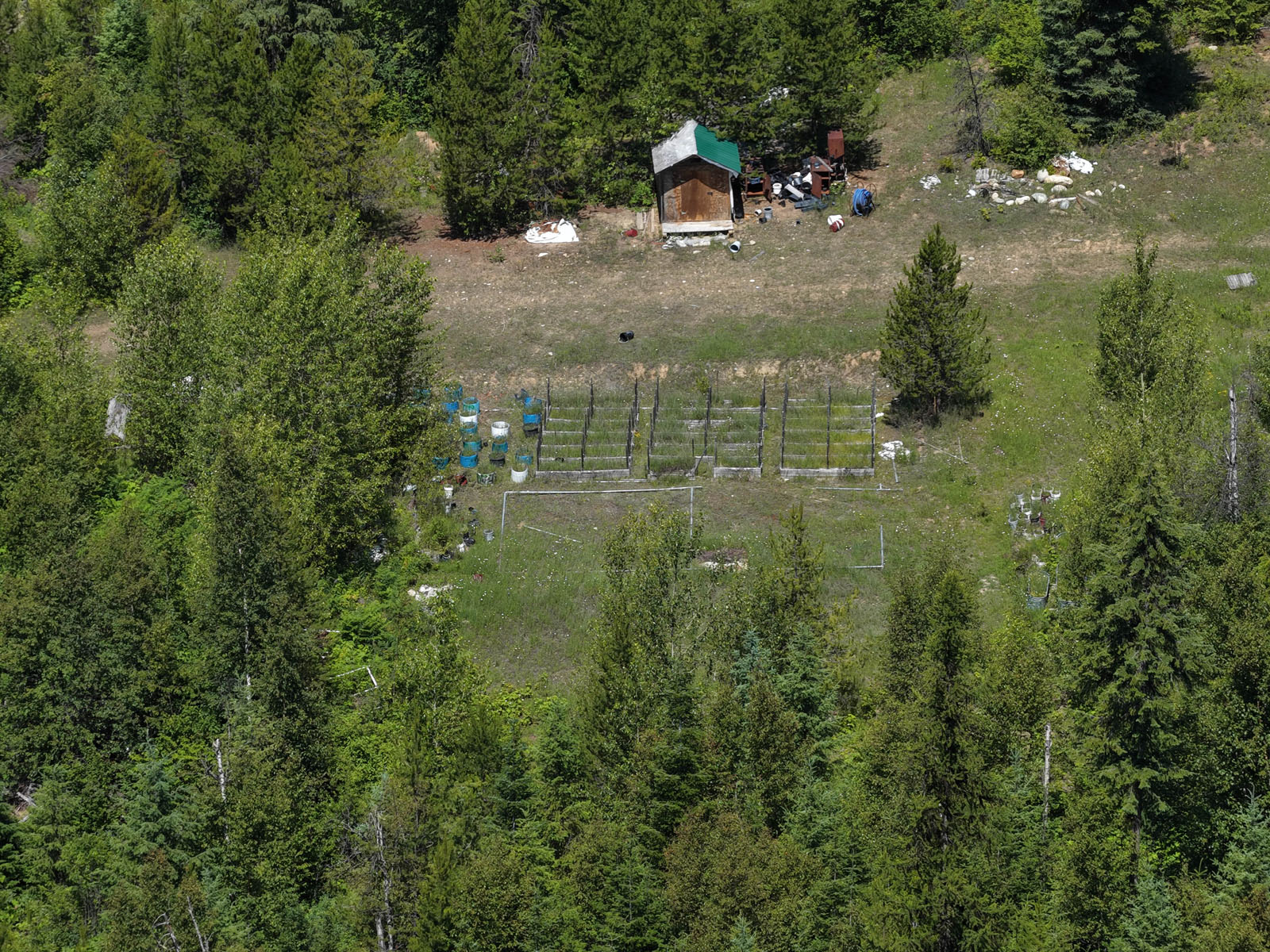
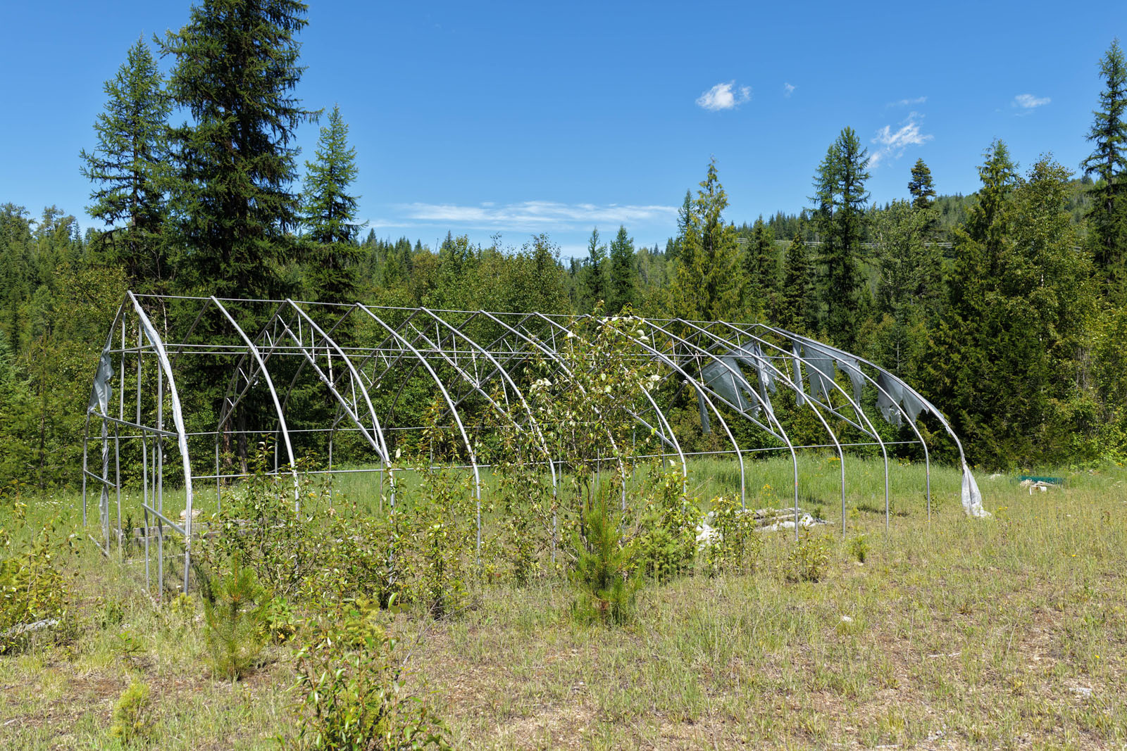
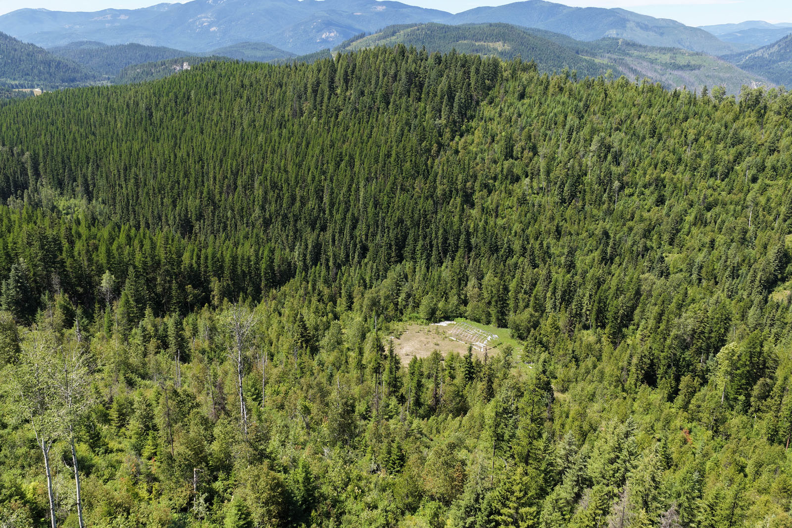
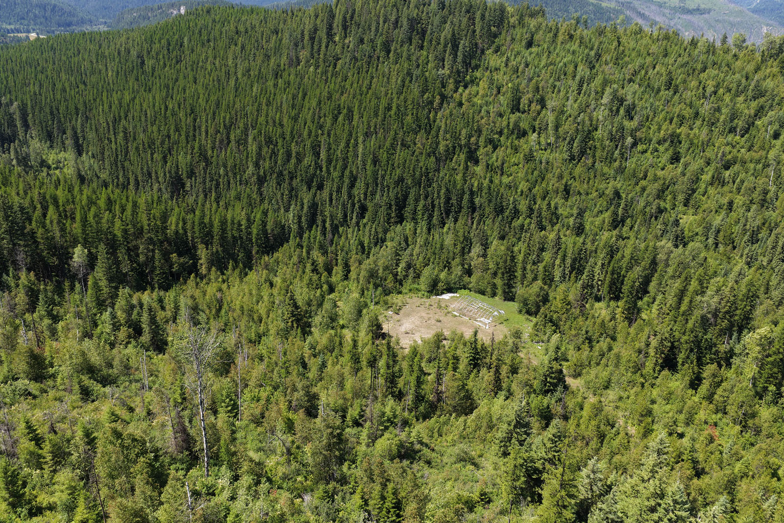
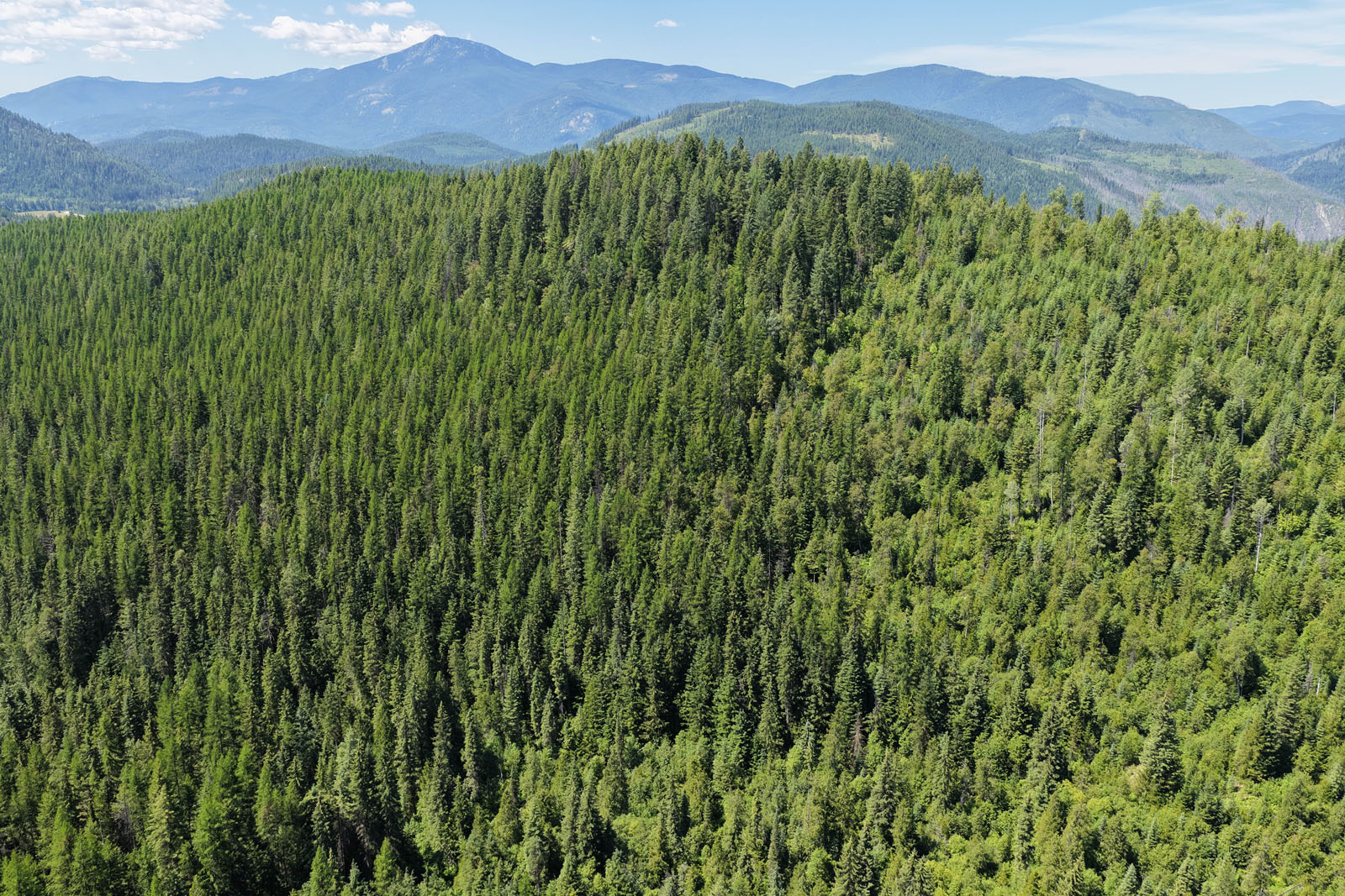
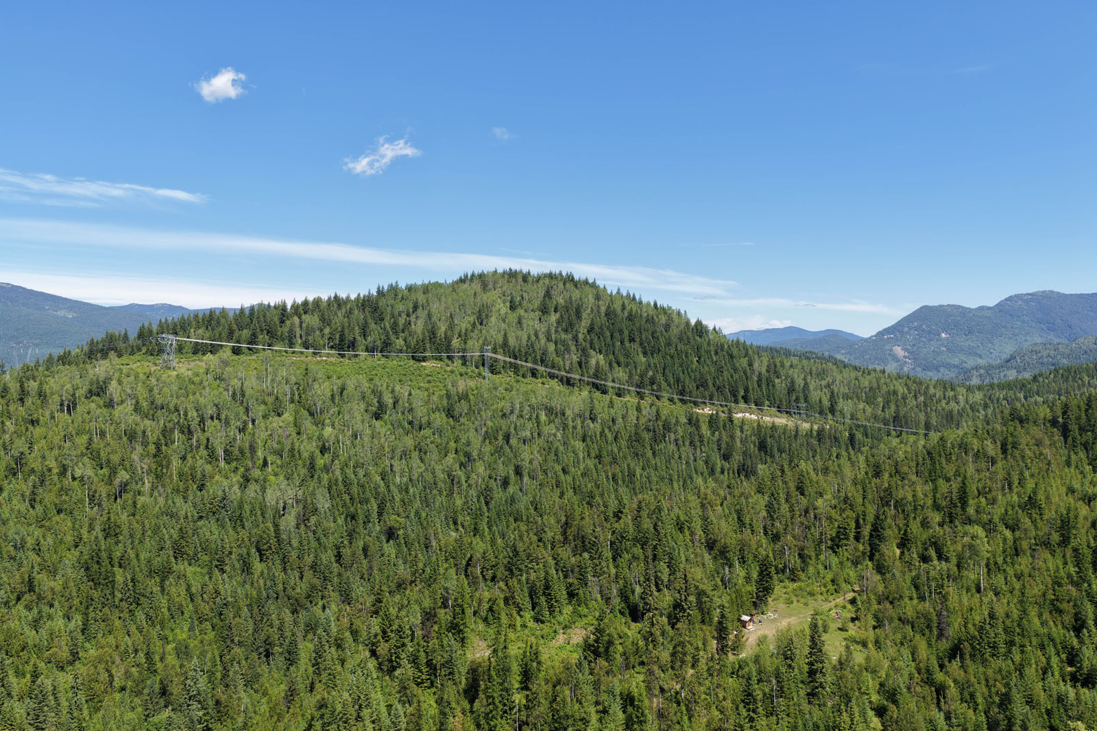
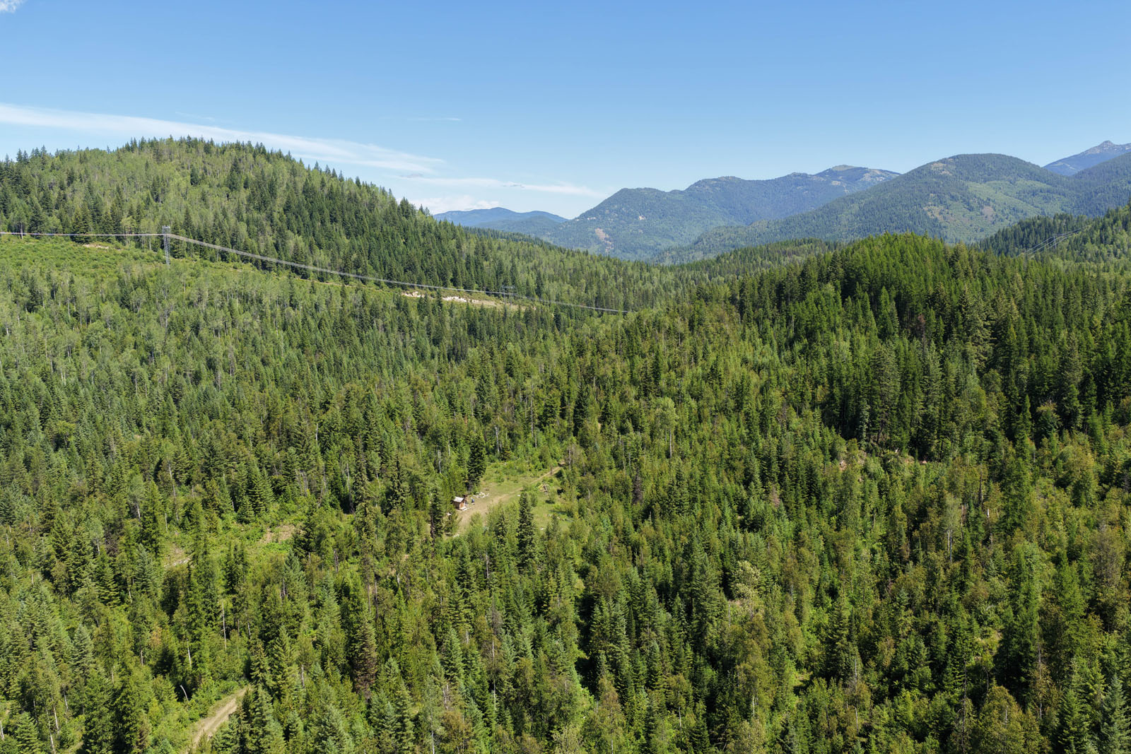
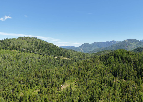
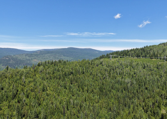
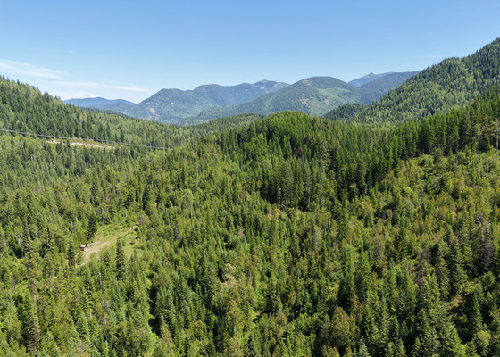
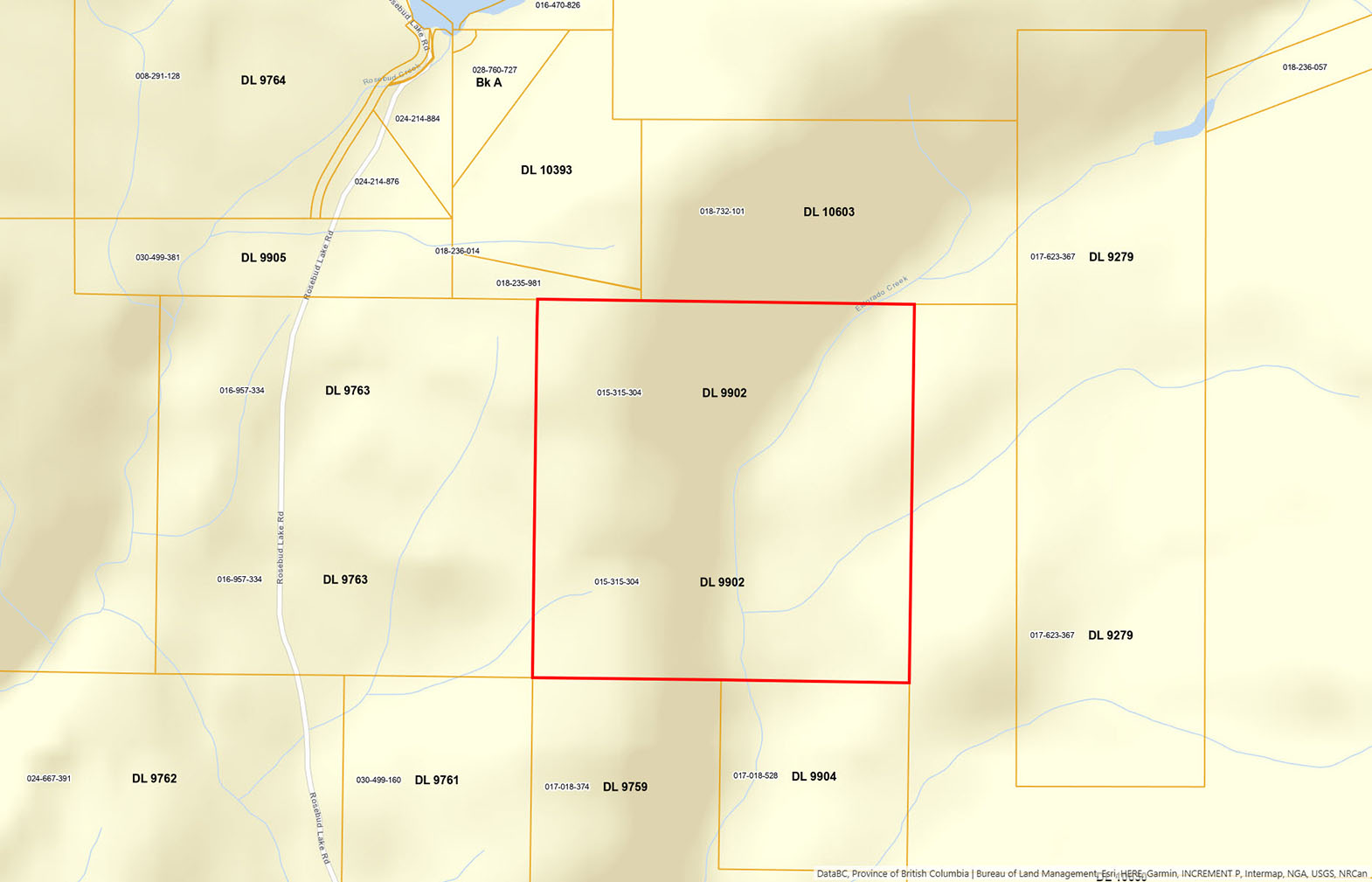
160 acres of south-facing land with sweeping big sky and mountain views in the heart of the West Kootenays, just a few kilometres north of the US border at Nelway. The property carries year-round character with three unnamed springs and Eldorado Creek running through it. The creek forms a pretty pond, and a network of internal roads branches through the land to several large, already prepared building sites, each one a ready canvas for a home, hobby farm, or off grid recreational retreat. Zoned Remote Residential (R4), the land offers real flexibility for residential development, agriculture, or a combination of the two. Access runs in under the power line right of way and the property is easily reached by AWD or 4x4. Bordered by thousands of acres of untouched Crown forestry land, it opens straight onto a vast backyard for ATV riding, sledding, and hunting, in a corner of the Kootenays known for its game, from deer and elk to moose, bears, and wild turkeys.
549 Rosebud Lake Road - Salmo, BC
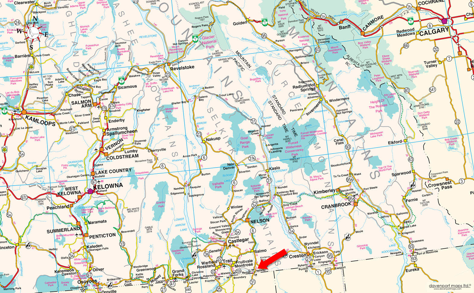
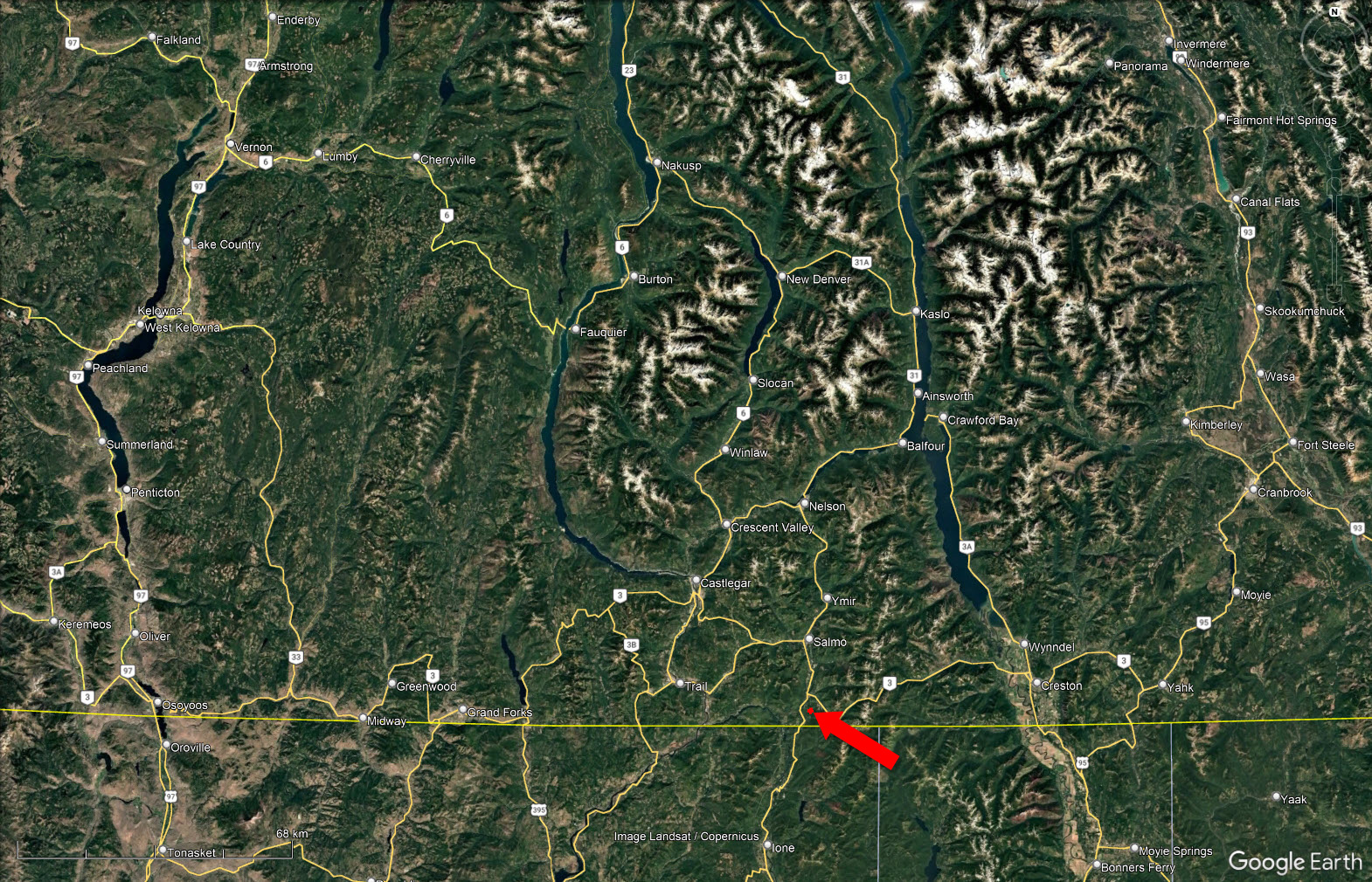
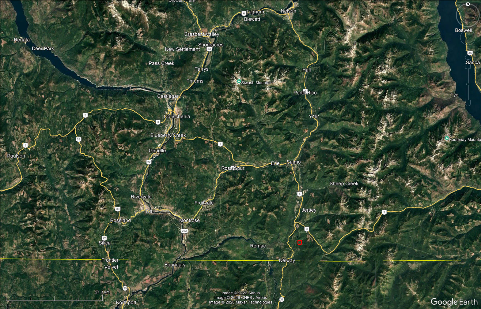
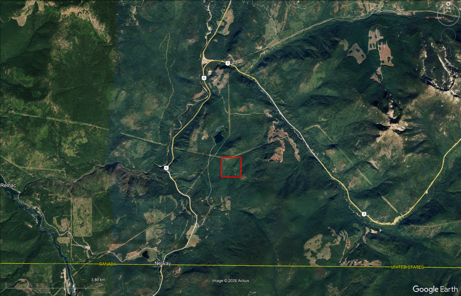
From Salmo, travel south on Highway 6 toward the Nelway border crossing. Turn east onto Rosebud Lake Road and follow it for 3.4 km, then turn onto the power line right of way. The property is on the right in approximately 60 metres.
The property sits in the West Kootenay region within the Regional District of Central Kootenay, in the Selkirk Mountains of southeastern BC. Salmo, about 20 km north, is the nearest service community and is roughly a 30-minute drive from Nelson, Castlegar, Trail, and Creston. The land drains toward the Salmo River system by way of the local Rosebud Creek watershed. Rosebud Lake, nearby, is a small trout lake with a healthy rainbow population that has been identified as one of the better fly-fishing lakes in the province, and Rosebud Lake Regional Park provides public waterfront access. The area is a recognized wildlife corridor running north from the Colville National Forest in Washington, and the broader West Kootenay economy has shifted over time from its historic mining and logging roots toward forestry, agriculture, and a growing recreation and tourism base. This pocket of the central Kootenay sees a gentler climate than much of the interior, with a long frost-free season that lends itself well to gardens, livestock, and living off the land.
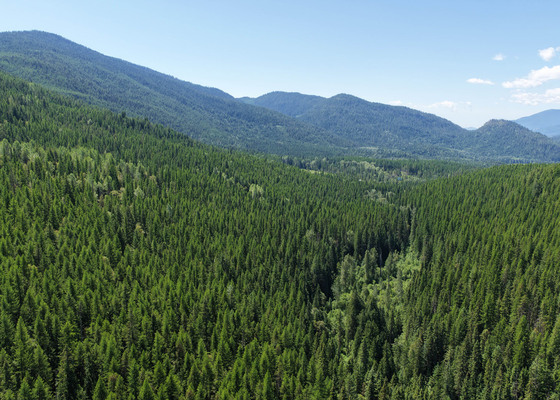
The property falls within the Interior Cedar Hemlock (ICH) biogeoclimatic zone, the most productive and tree diverse forest zone in the BC interior. Western red cedar and western hemlock lead the canopy, mixed through with Douglas fir, western larch, lodgepole pine, and western white pine, with trembling aspen and paper birch on the more open and disturbed sites. Moist ground near the springs, creek, and pond supports cedar, spruce, and a lush understory of shrubs and ferns. The mix of standing timber, natural clearings, and prepared building sites gives the land both forest cover and open, usable ground.
Bordered by Crown forestry land, the property opens onto a huge natural playground for ATV riding, snowmobiling, and hunting right from the property line. Rosebud Lake, a short distance away, offers rainbow trout fishing and is regarded as one of the better fly-fishing lakes in the region, with Rosebud Lake Regional Park providing public waterfront access. The wider West Kootenay area adds hiking, camping, and fishing on the Salmo River, plus big game hunting and wildlife viewing along a recognized wildlife corridor, with white-tailed and mule deer, elk, moose, black bear, wild turkey, and bighorn sheep all found in the area.
Salmo is a small village at the junction of Highways 3 and 6 in BC's West Kootenay region, sitting where the Salmo River meets Erie Creek. Its name comes from the river ("salmo" is Latin for salmon), a nod to the fish that once ran the waterway.
The community grew up around mining. Gold was discovered in the surrounding hills in the 1890s, and the district went on to produce gold, silver, lead, zinc, and tungsten over the following decades, with the Sheep Creek camp and Iron Mountain operations anchoring the local economy. Forestry developed alongside mining and became the other economic mainstay. Salmo was incorporated as a village in 1946 and served as the supply and service hub for the surrounding mines, logging camps, and rural valley.
As the larger mines wound down, the economy shifted toward forestry, small business, and Salmo's role as a highway crossroads. Today it's known for its historic downtown and its distinctive stone murals, its gateway location on the way to the Kootenay Pass, and easy access to Kootenay backcountry recreation like fishing, hiking, and sledding.
49° 2'9.77"N and 117°15'38.98"W
$1,054.74 (2026)
Remote Residential (R4)
DISTRICT LOT 9902 KOOTENAY DISTRICT
PID 015-315-304
 +8 maps
Our property descriptions and geographical information are taken from the BC Assessment Authority, Land Titles Office, government maps and other sources. While LandQuest® does not guarantee the information, we believe it to be accurate, but should not be relied upon without verification. This communication is not intended to cause or induce breach of an existing agency agreement.
Salmo
 28℃
28℃
 16℃
16℃