


Beachfront property on Nootka Island featuring approximately 2,500± ft of waterfront on BC’s West Coast. Nature and recreation at its best. Trail access to protected moorage at Friendly Cove (Yuquot) and a 400 sq. ft. cabin with loft in a world class environment.
Foreign Buyer Ban does not apply to this property


 +29 photos


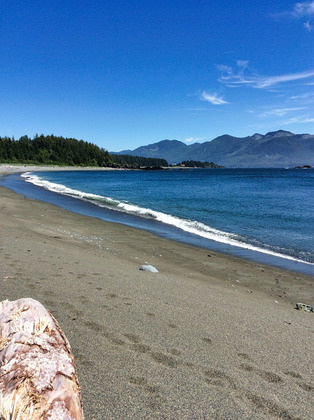
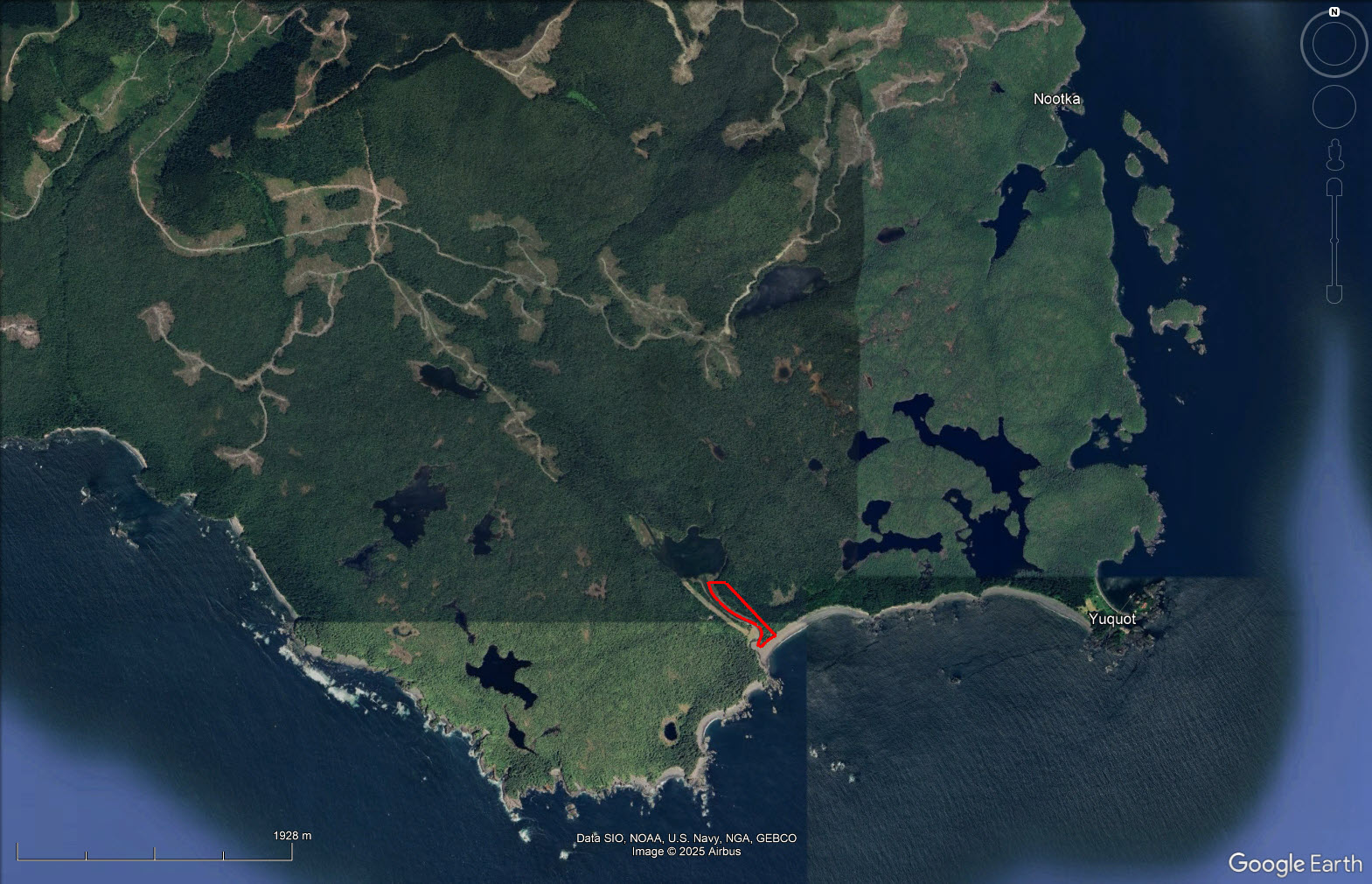
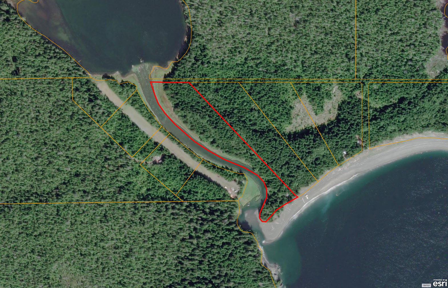
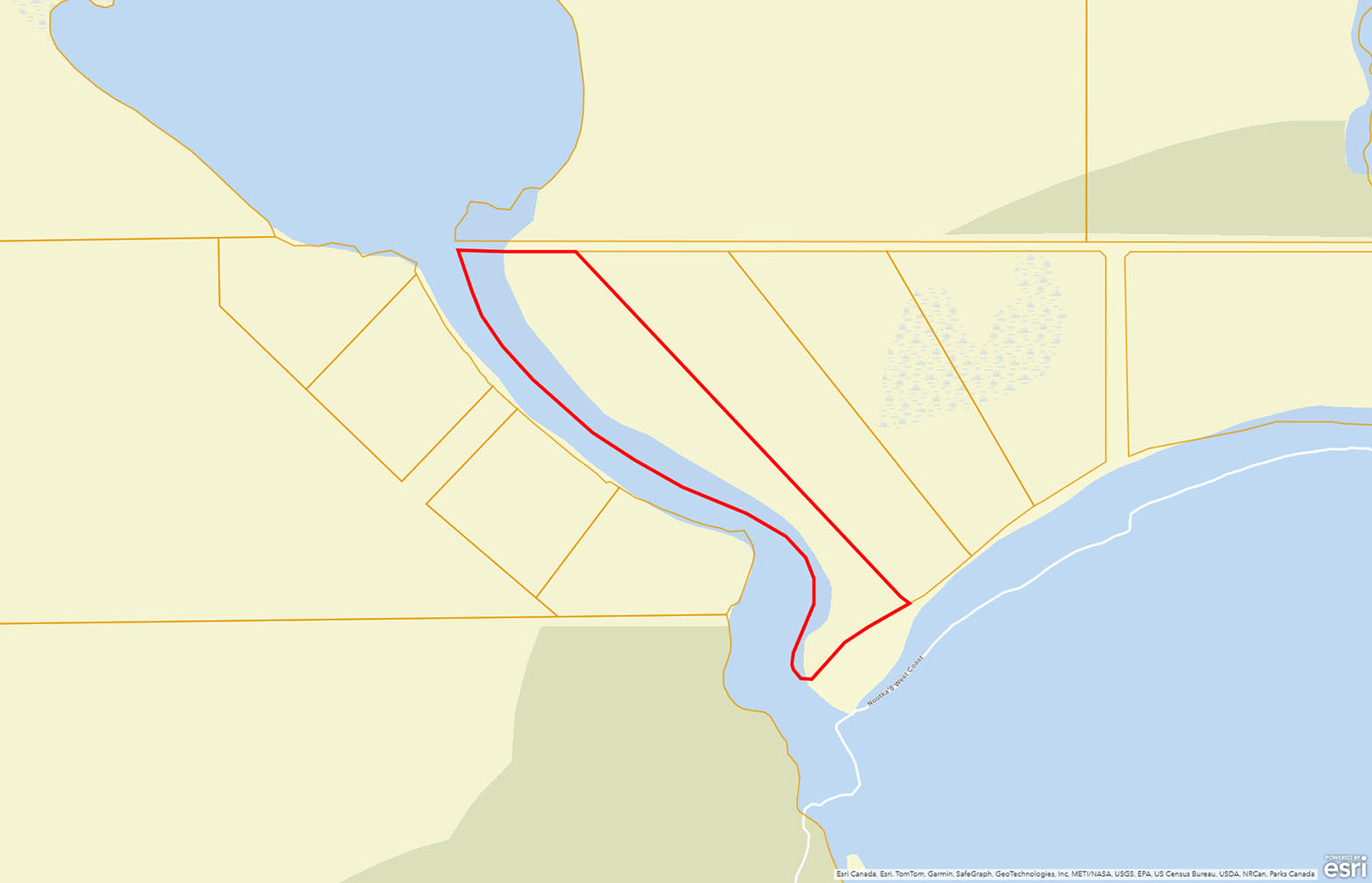
Located on Nootka Island off the West Coast of Vancouver Island, this exceptional oceanfront property with 2,500± ft of prime beachfront and river front is a defining asset. Positioned along one of British Columbia’s most storied and untamed shorelines.
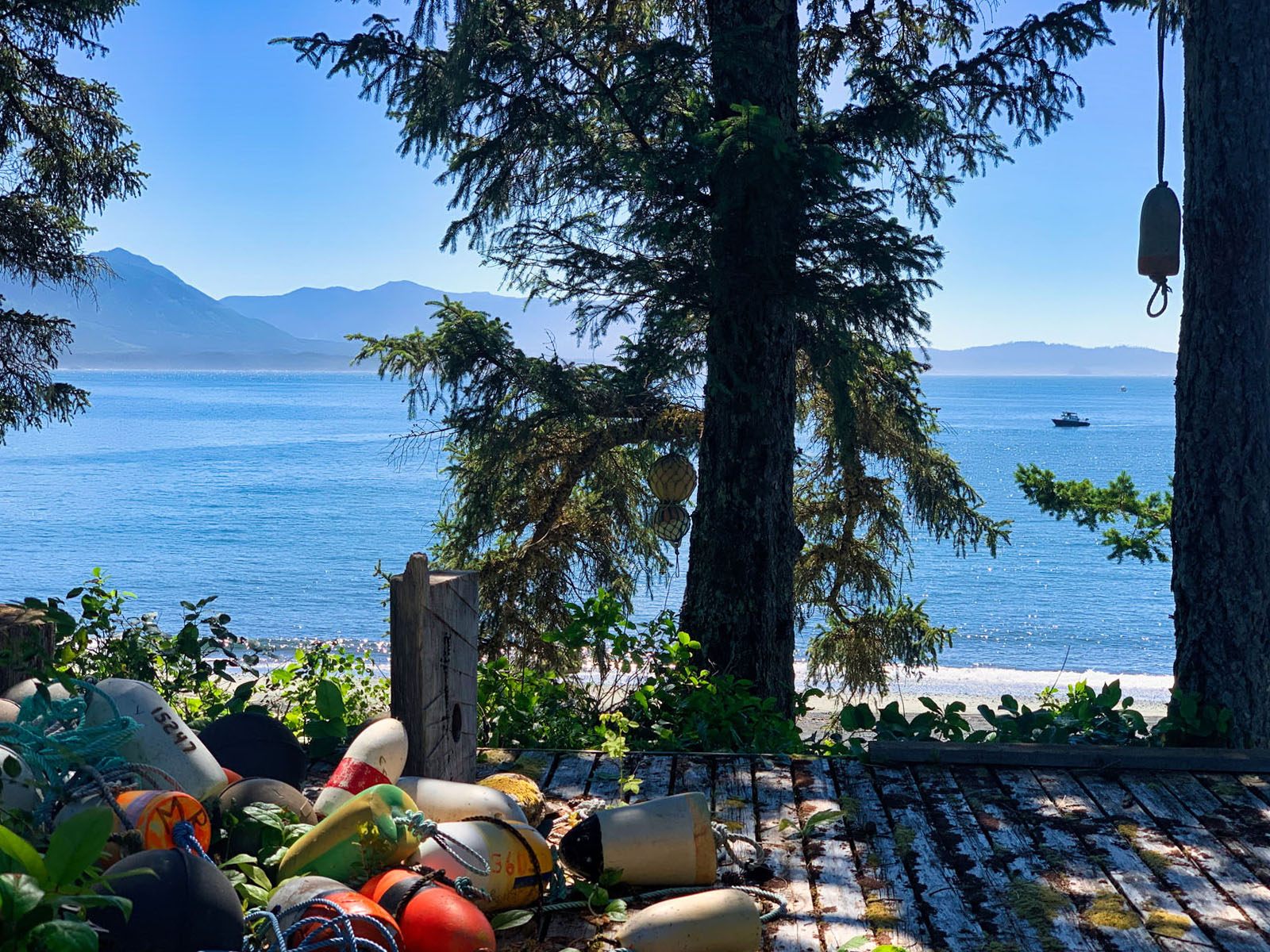
Outlined by forested headlands, trophy waterfront with direct exposure to the open Pacific, and river frontage to a small freshwater lake. The property serves as a practical basecamp for exploration, adventure and solitude.
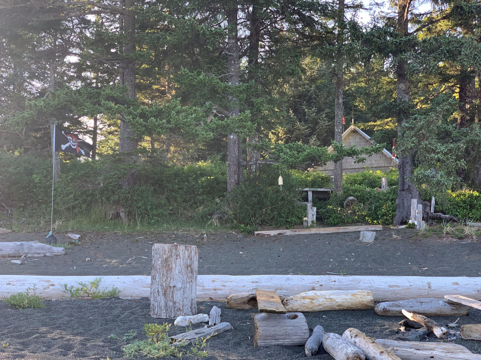
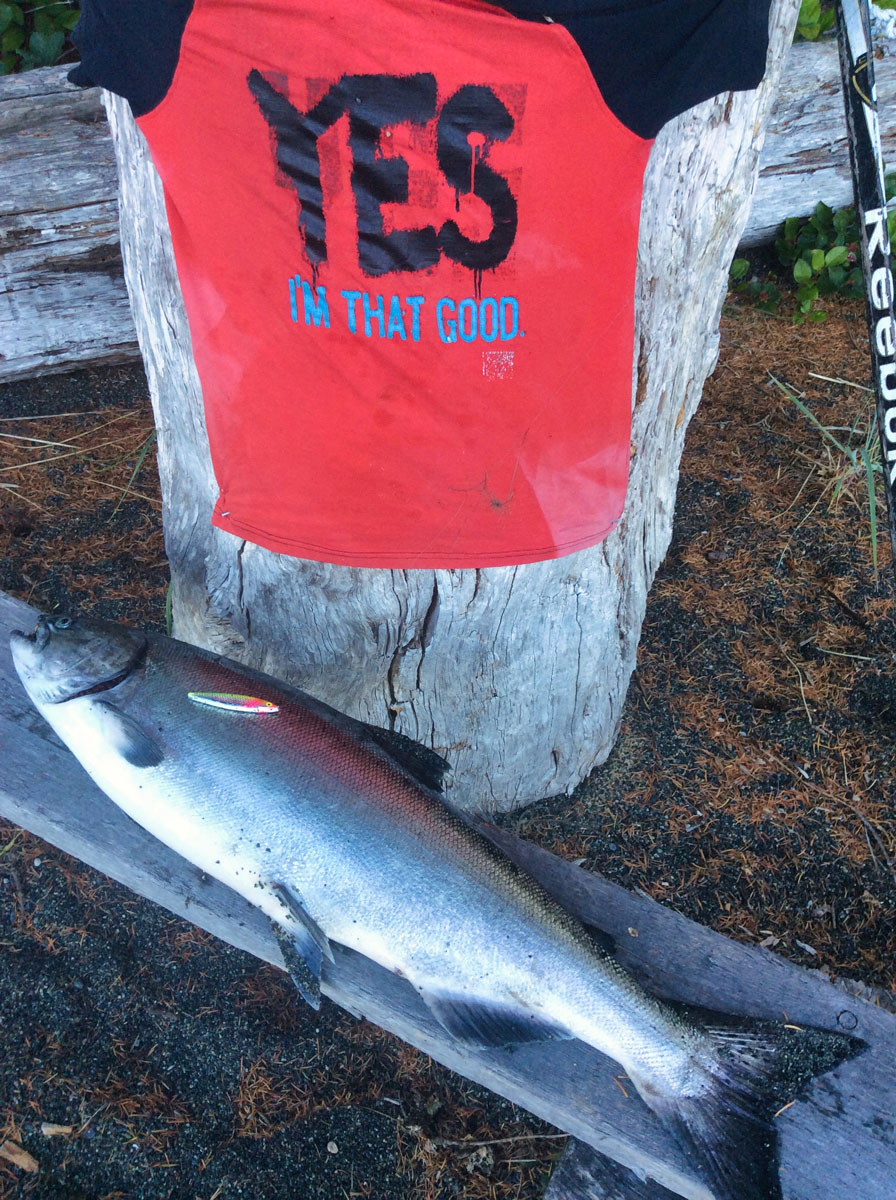
With no road access and minimal surrounding development, it offers a quiet and rewarding West Coast experience. At low tide, the beach opens wide, providing ample space, perfect for walking, beachcombing, launching kayaks, even an impromptu foot ball game. Cast directly from shore, with seasonal opportunities to catch salmon right outside your front door.
This is hands-on, self-reliant coastal living: stepping out with rod in hand, reading tide and current, and fishing in waters that remain remarkably productive for salmon, cod and halibut.
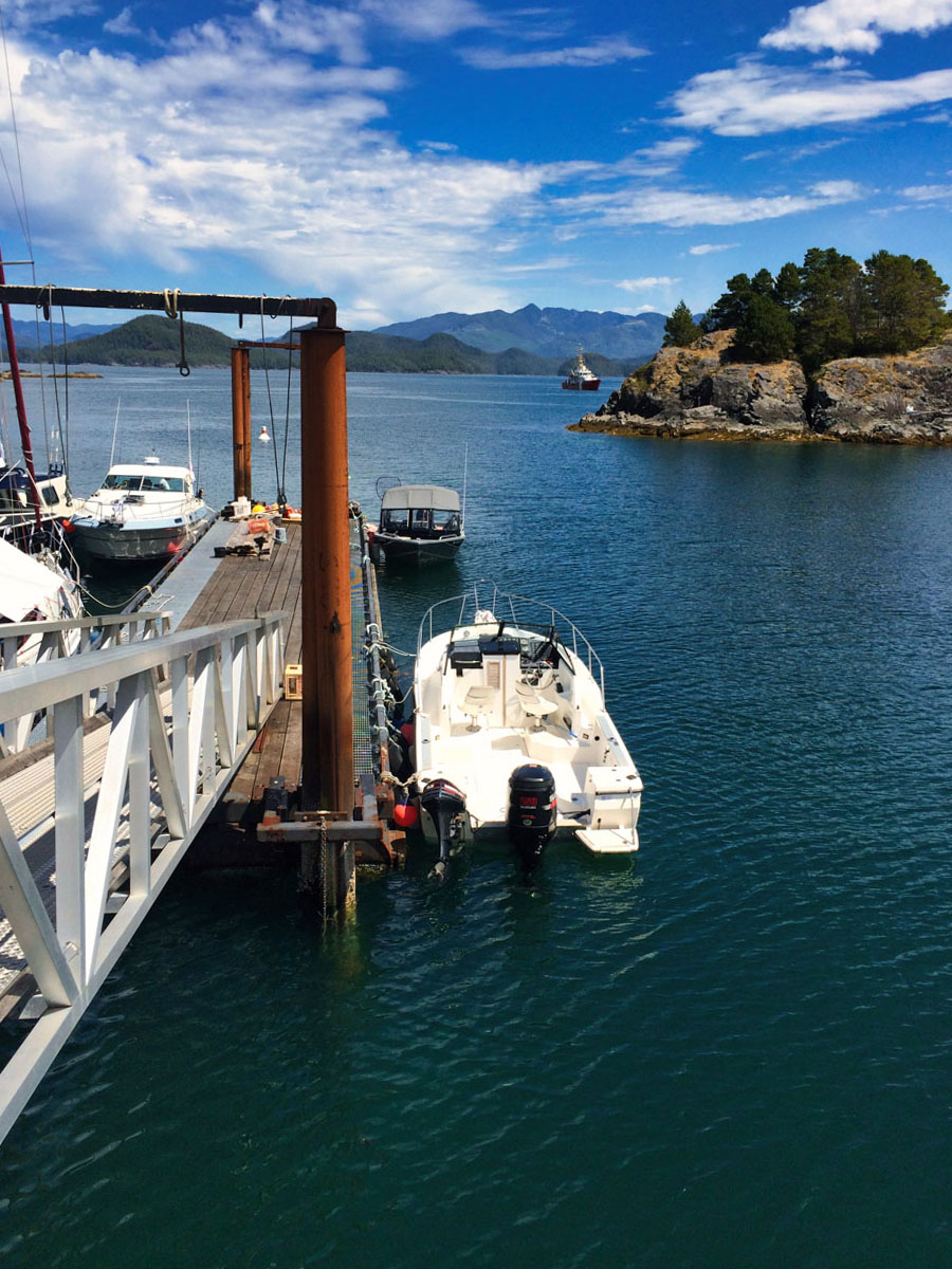
Friendly Cove provides safer anchorage and logistical support during changing weather conditions, making the trail a valuable asset for anyone spending extended time on the island.
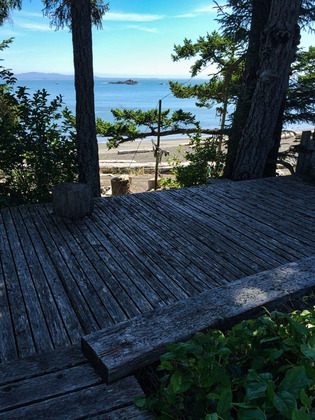
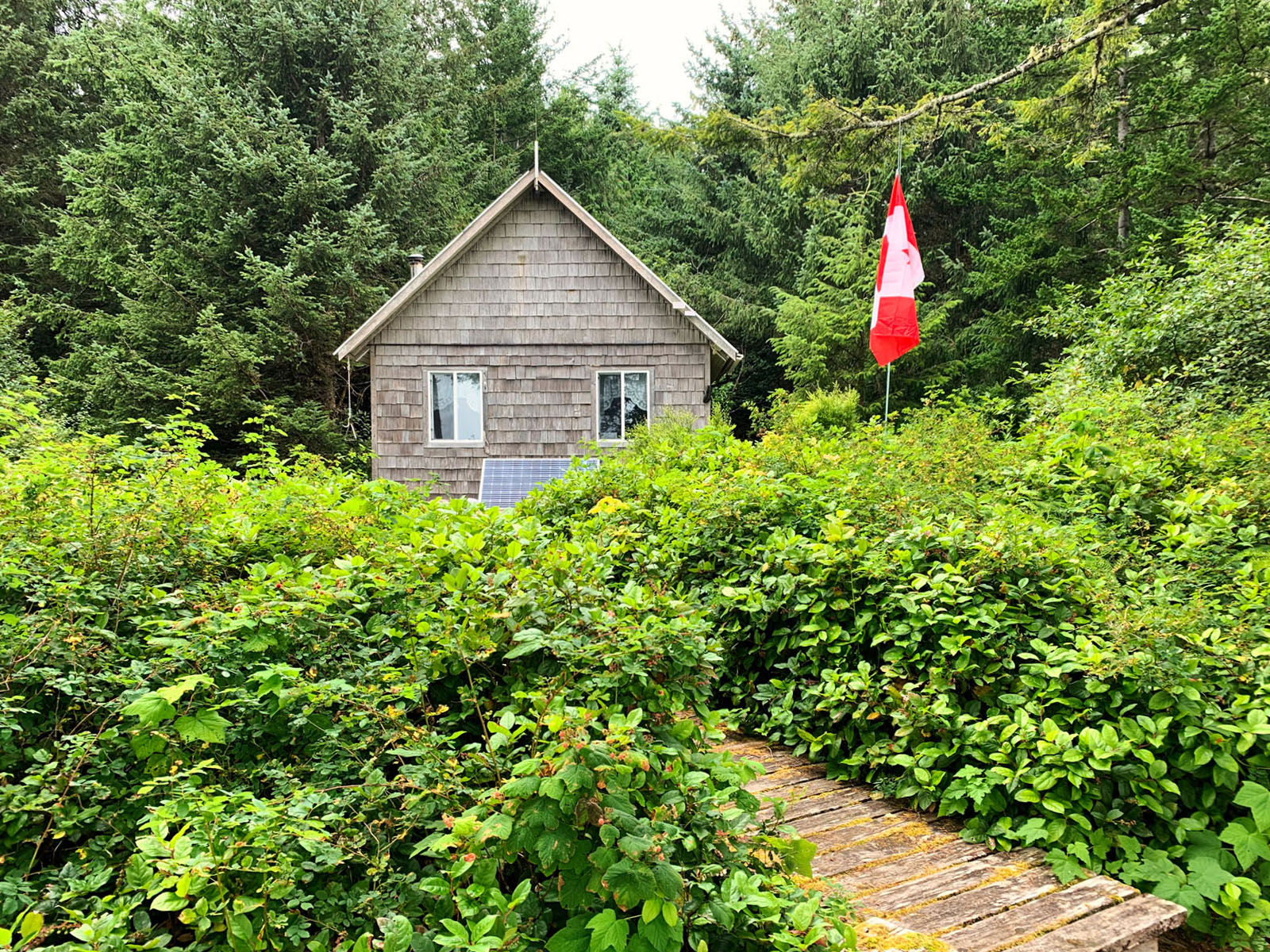
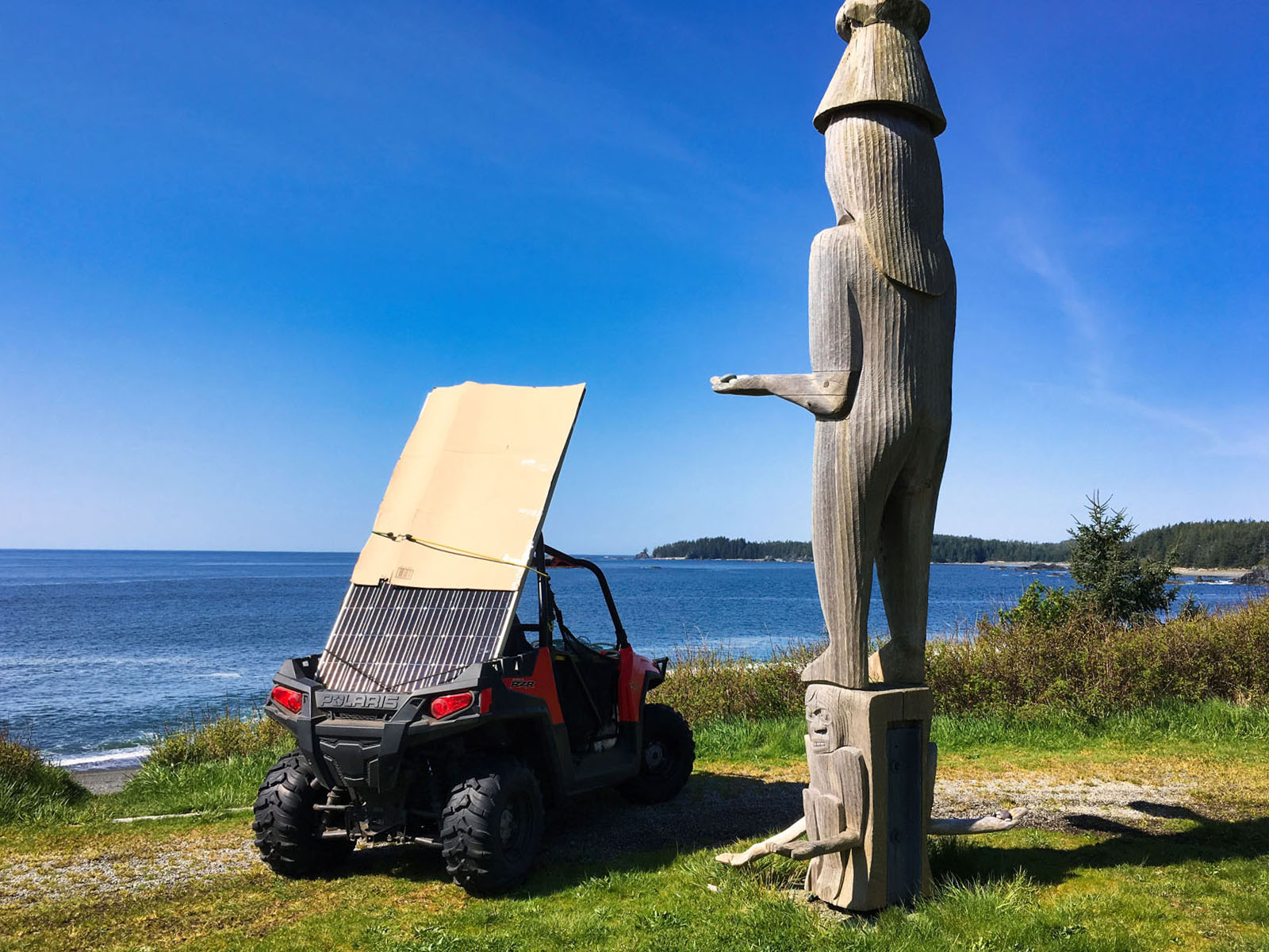
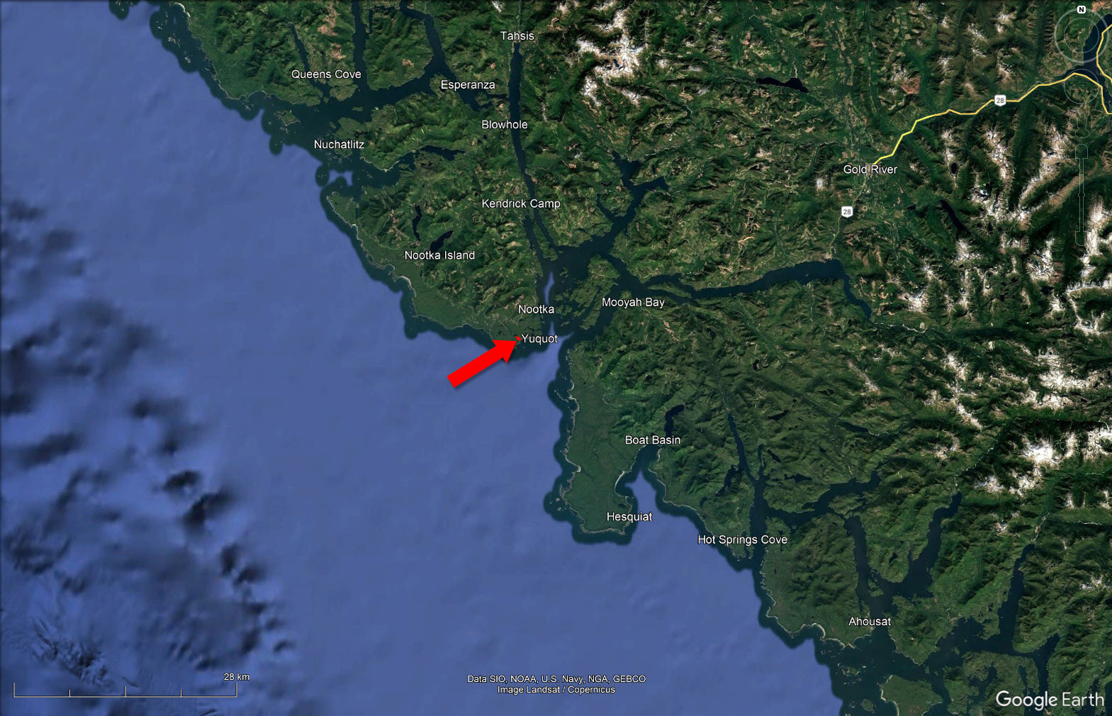
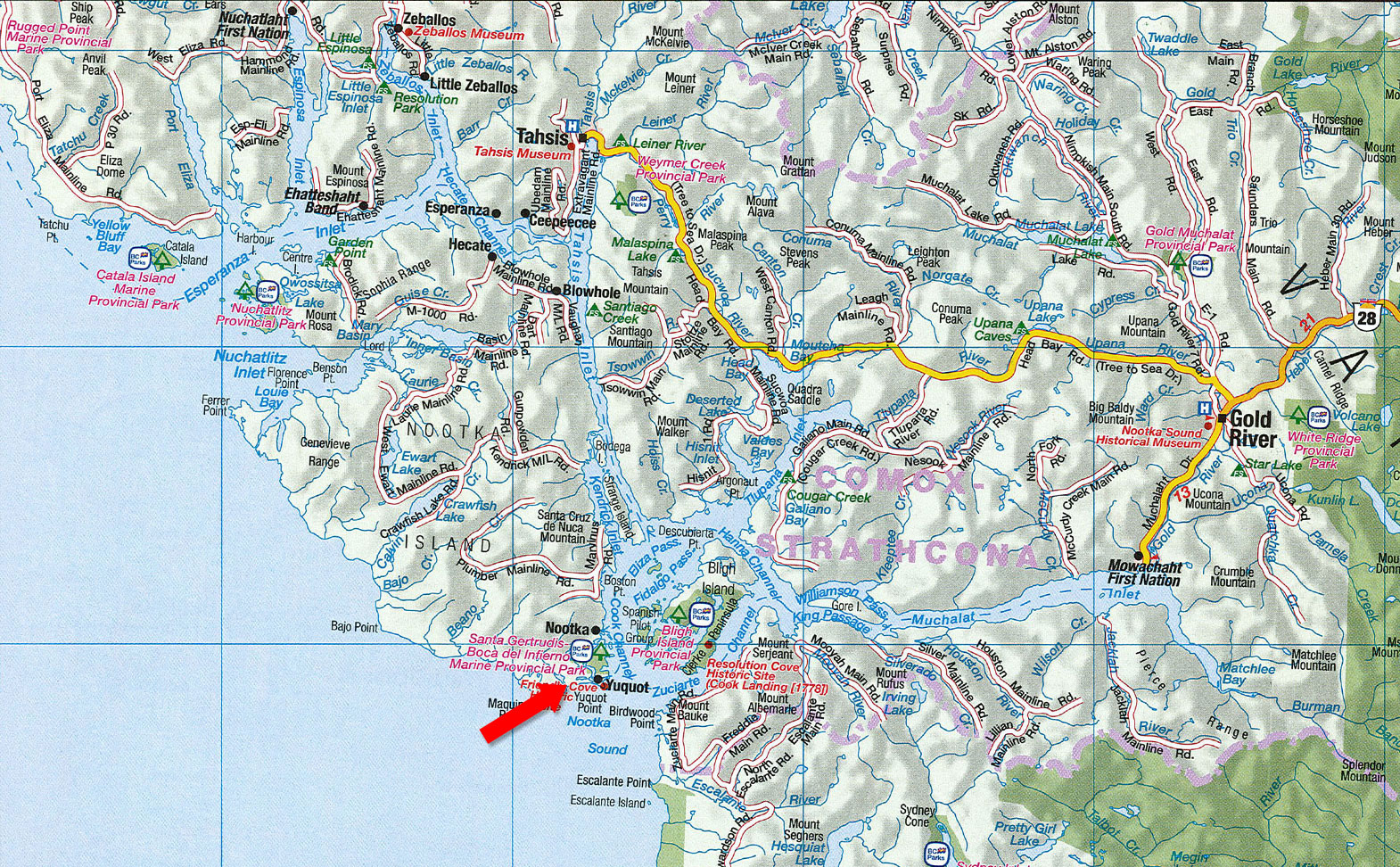
A key feature is an established trail connecting the property to Friendly Cove (Yuquot), the historic heart of the island. This trail has long served as a practical route for protected boat moorage, transporting goods and supplies.
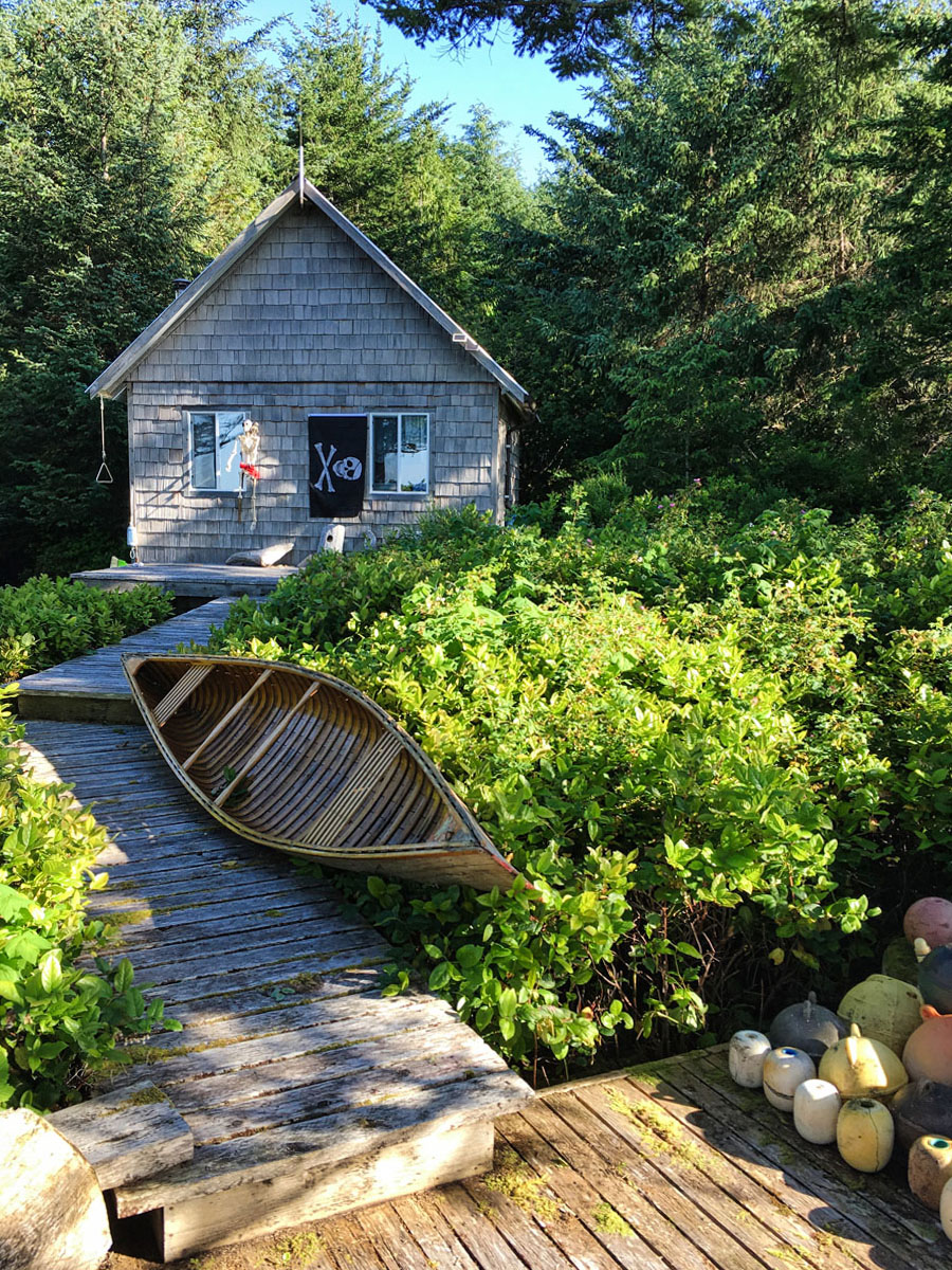
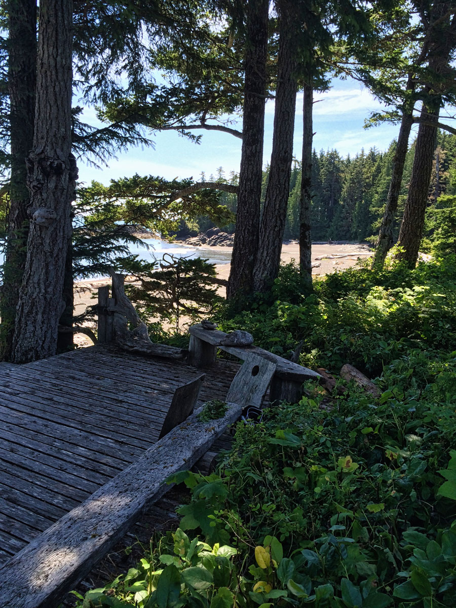
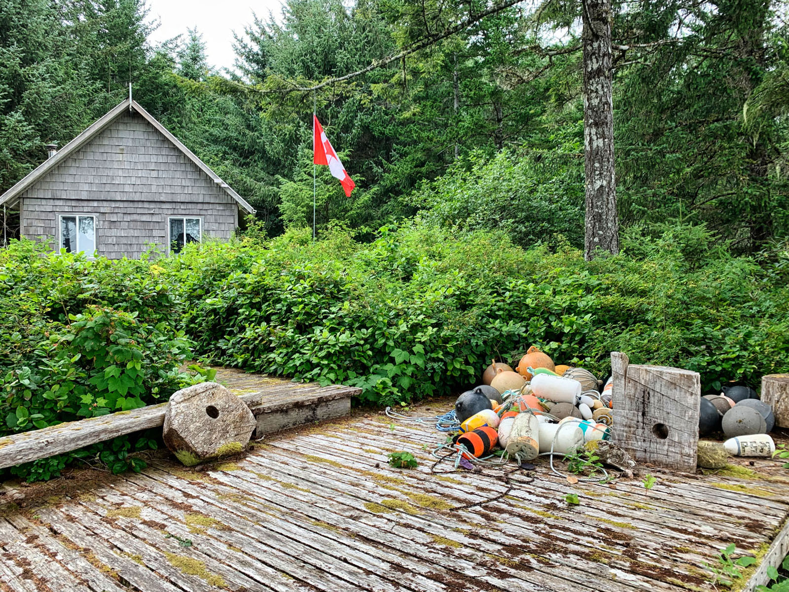
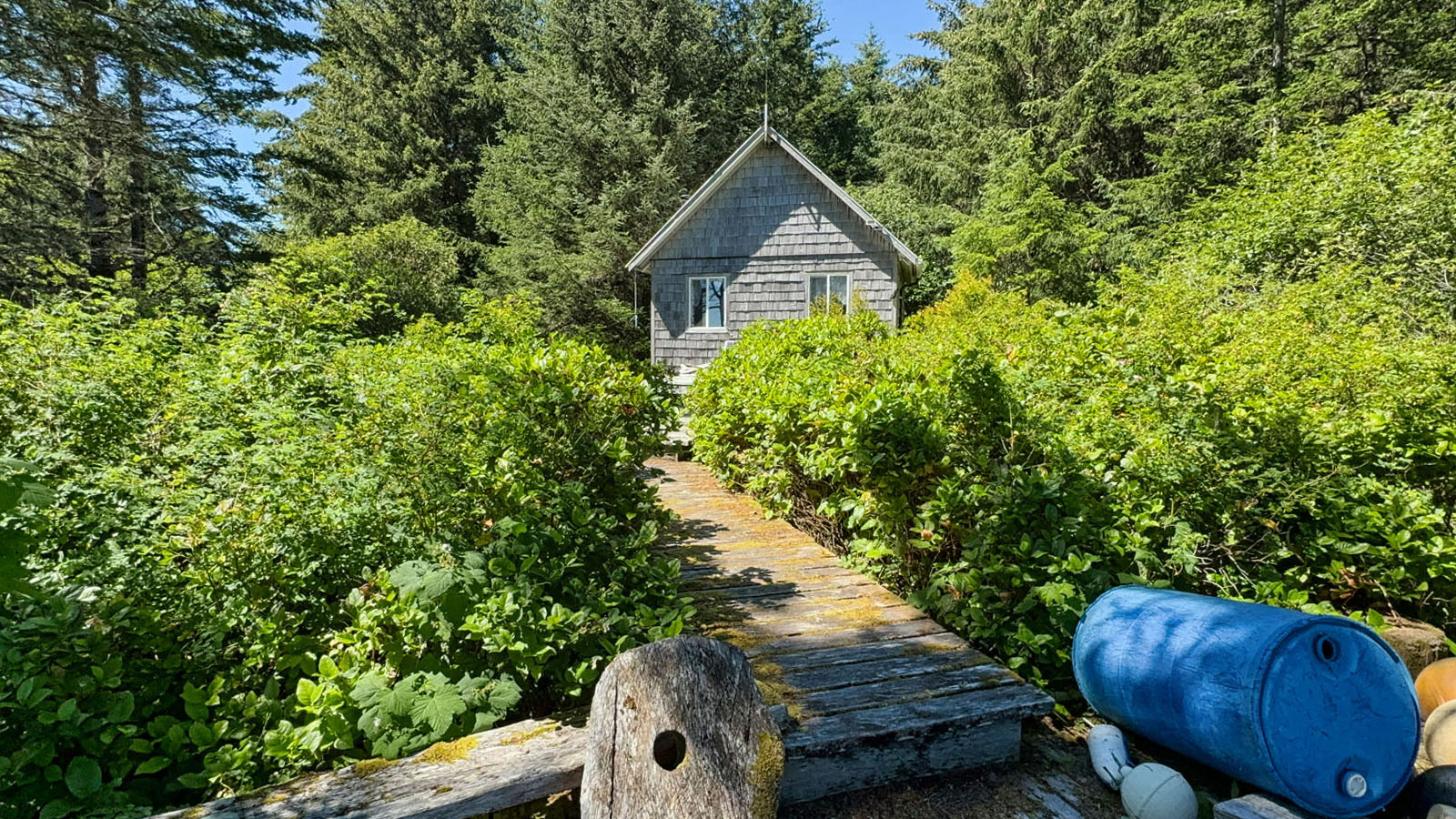
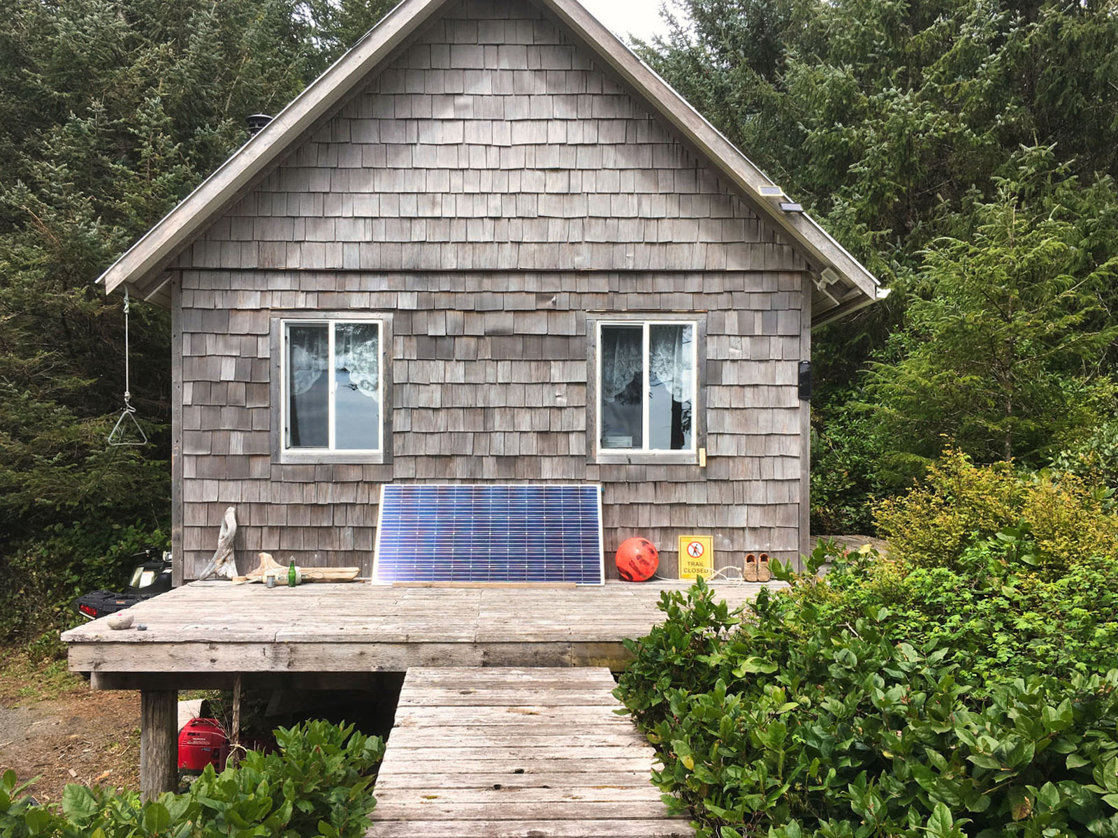
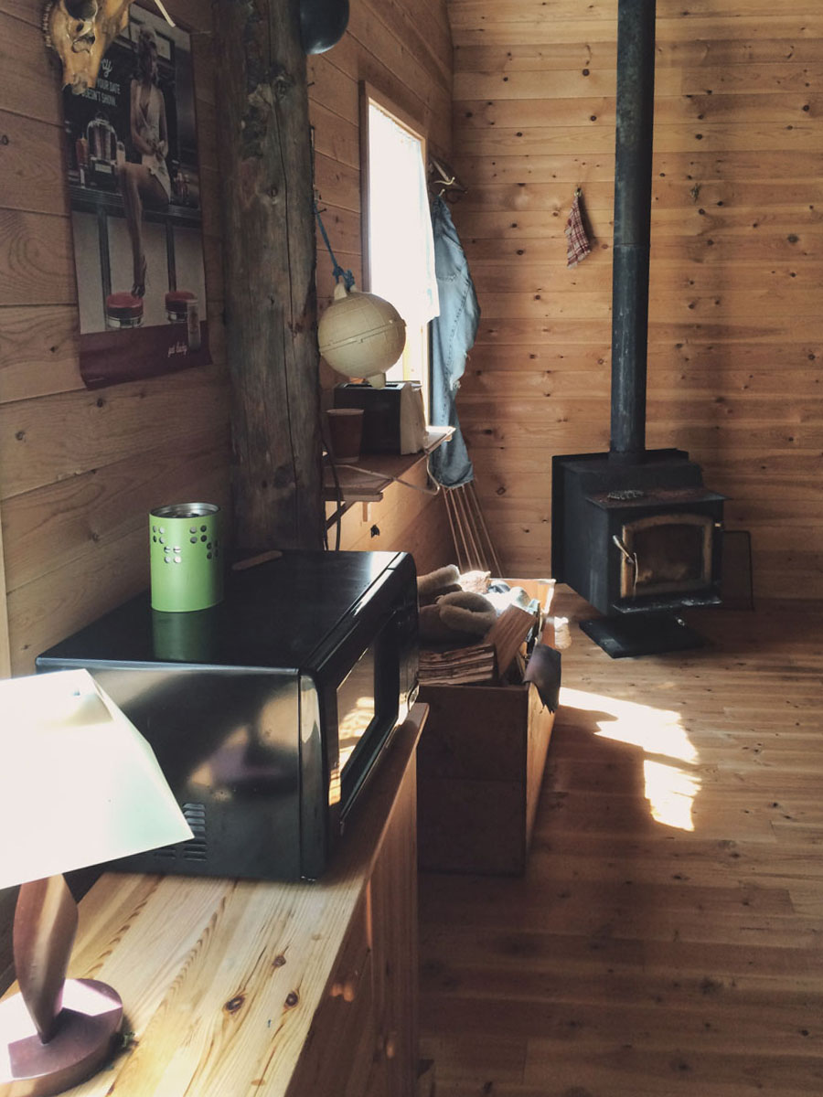
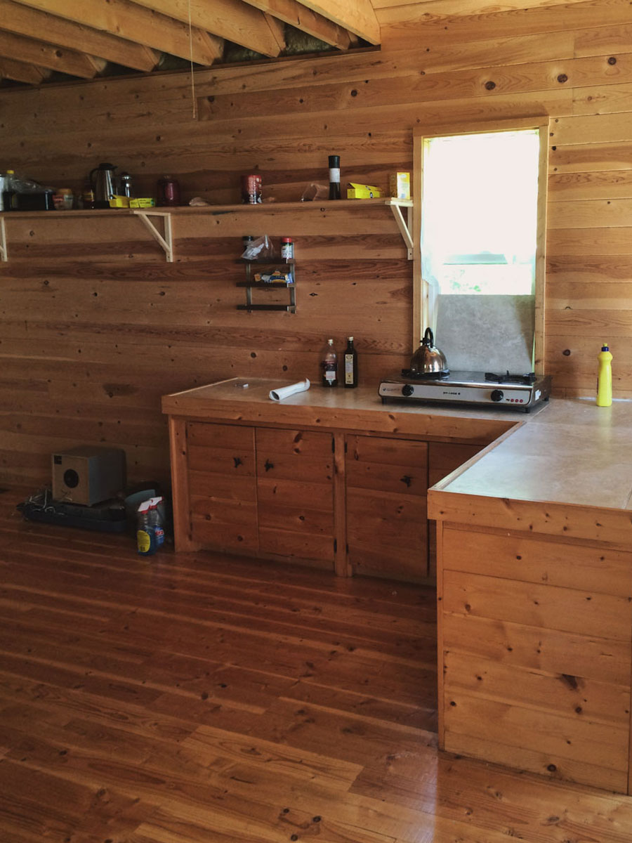
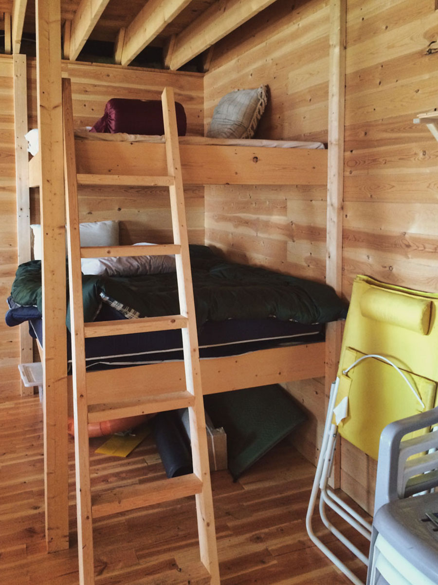
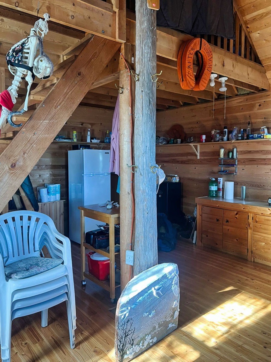
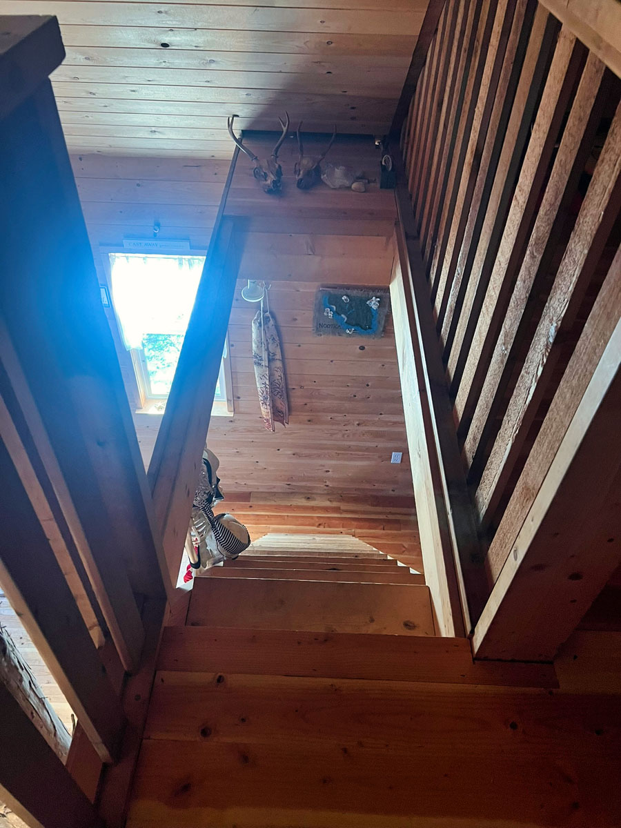
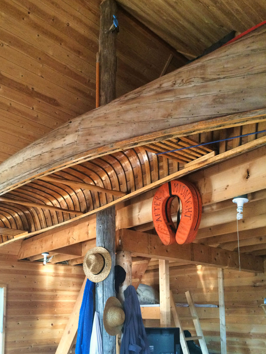
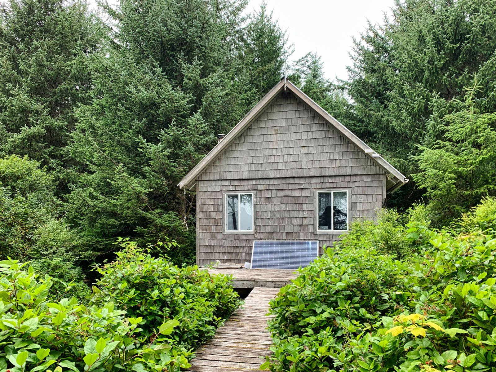
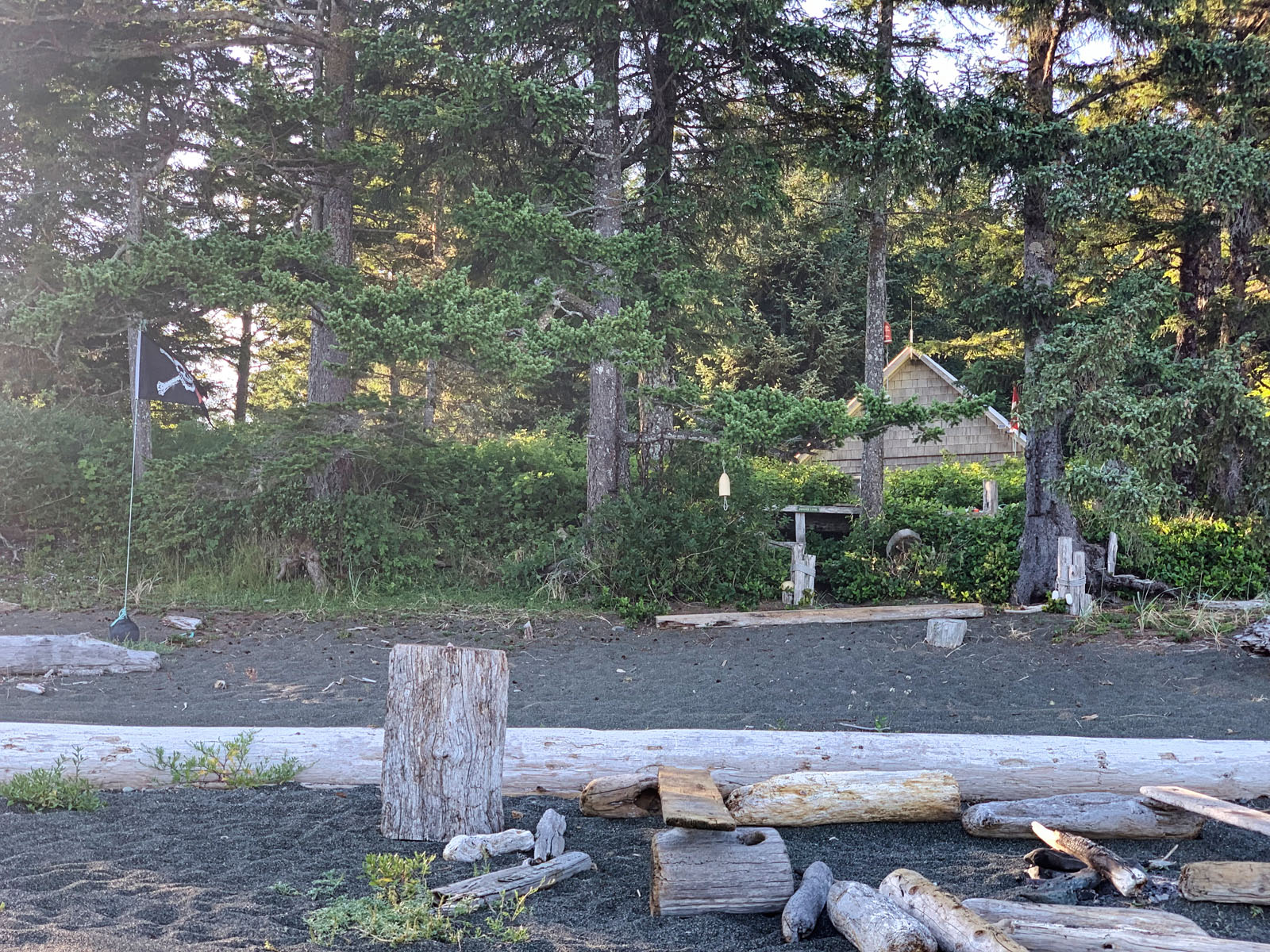
Set back from the shoreline and nestled into the trees, the 400 sq. ft. cabin with loft is built for durability, comfort and simplicity. Cedar shingles weather naturally into the forest backdrop, while elevated wooden walkways connect living spaces to the outdoors.
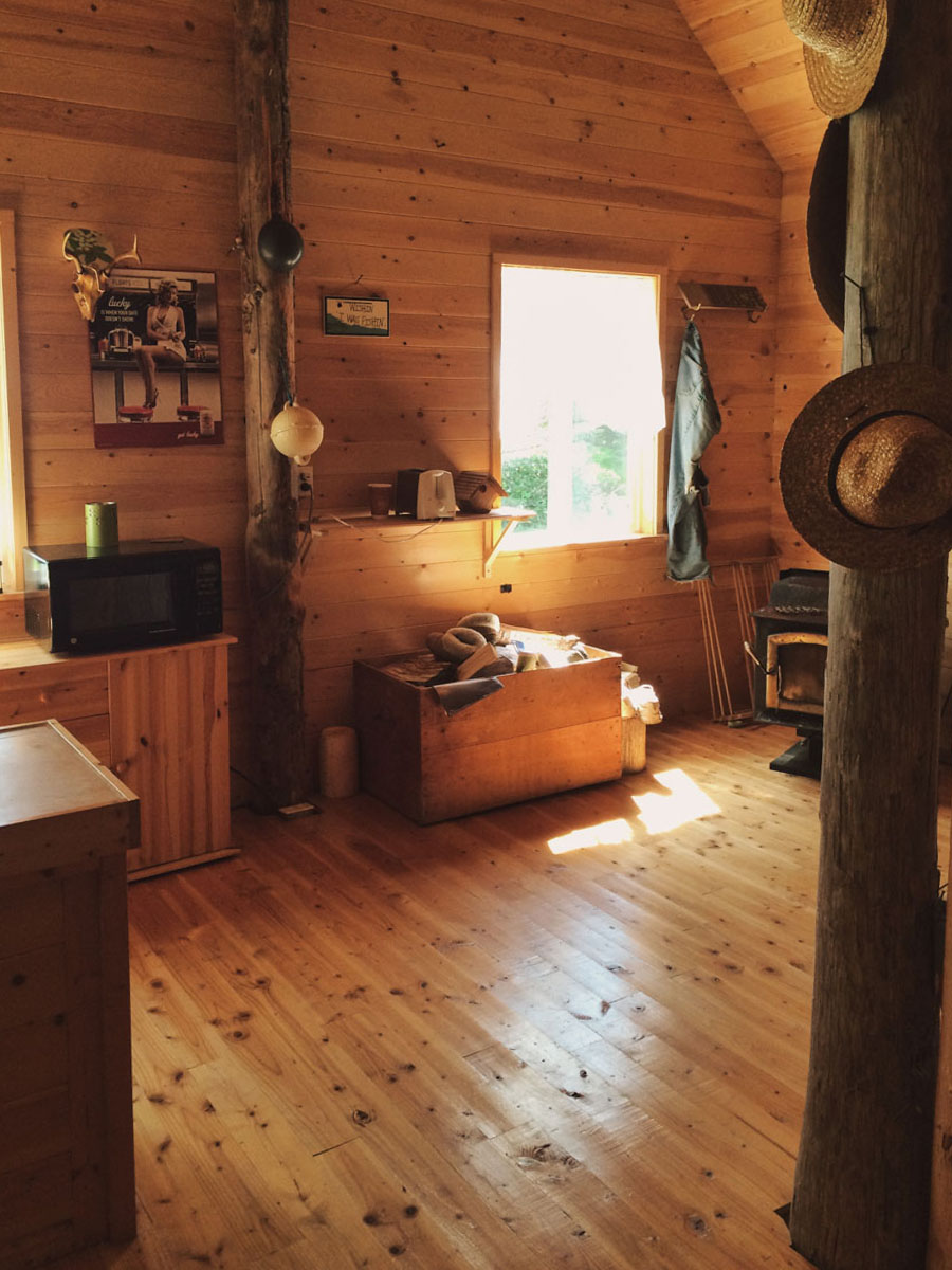
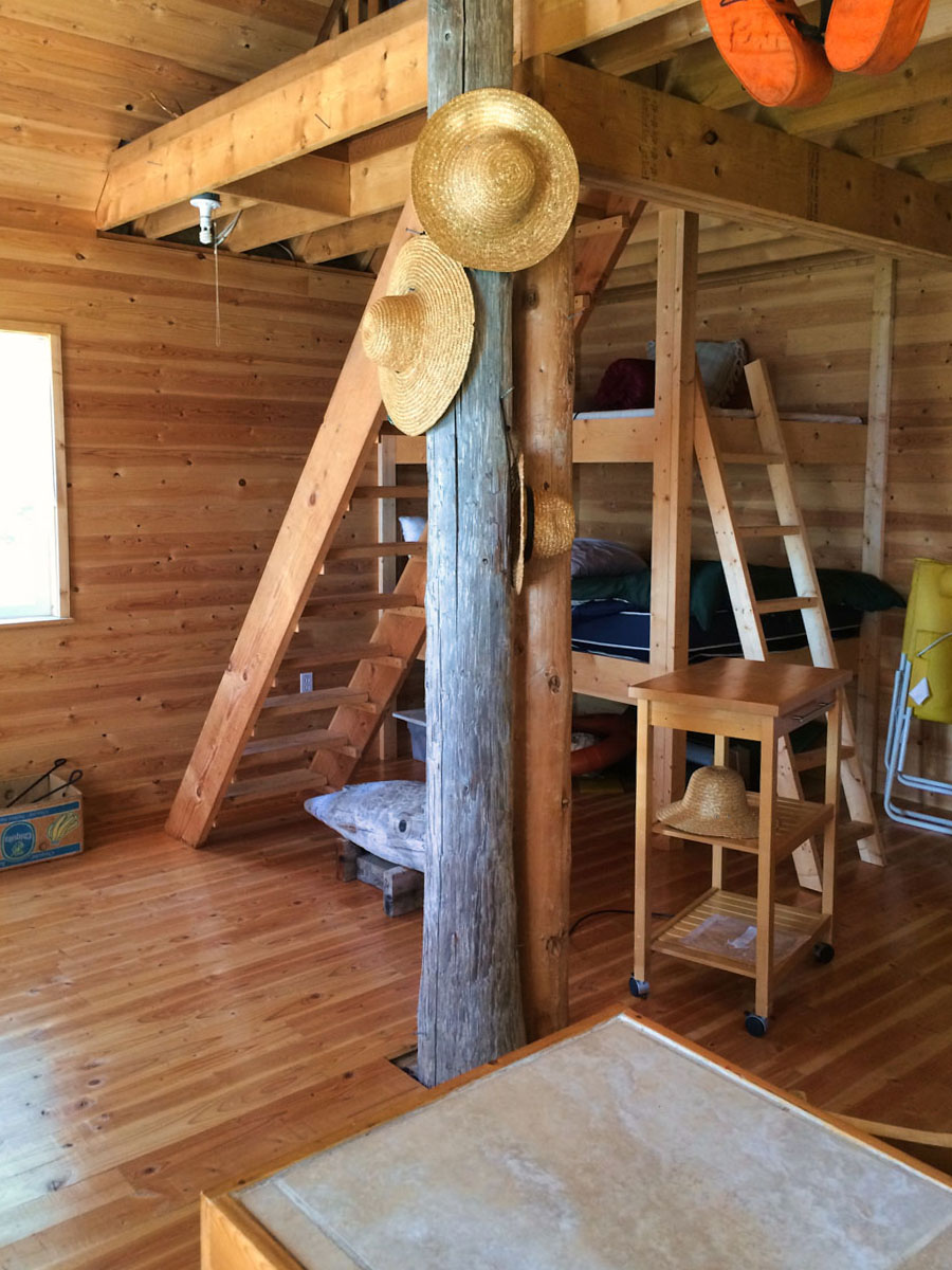
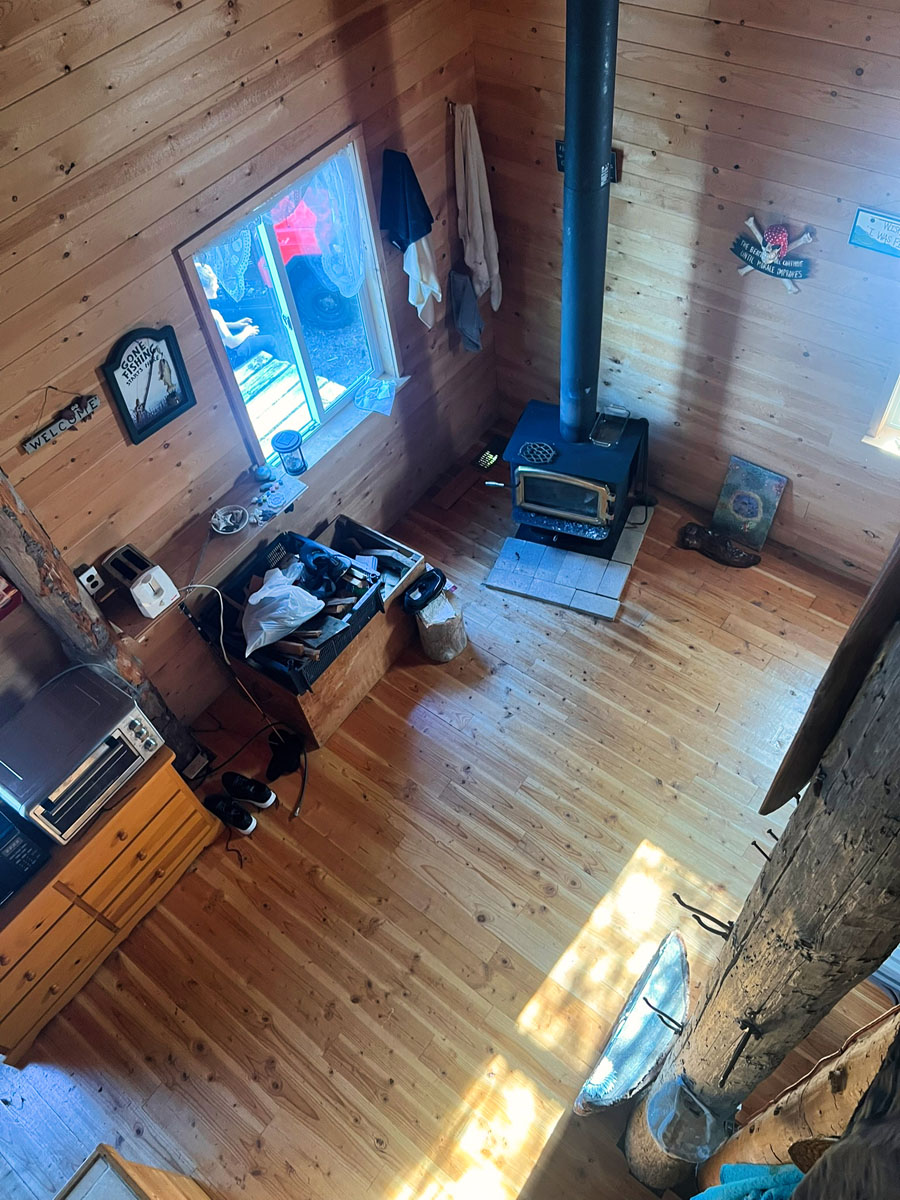
Inside, warm wood finishes and an open layout create a small but welcoming atmosphere after long days spent on the water or trail. A wood stove anchors the living space, offering reliable heat year-round, while lofted sleeping areas provide flexible accommodation for family and guests.
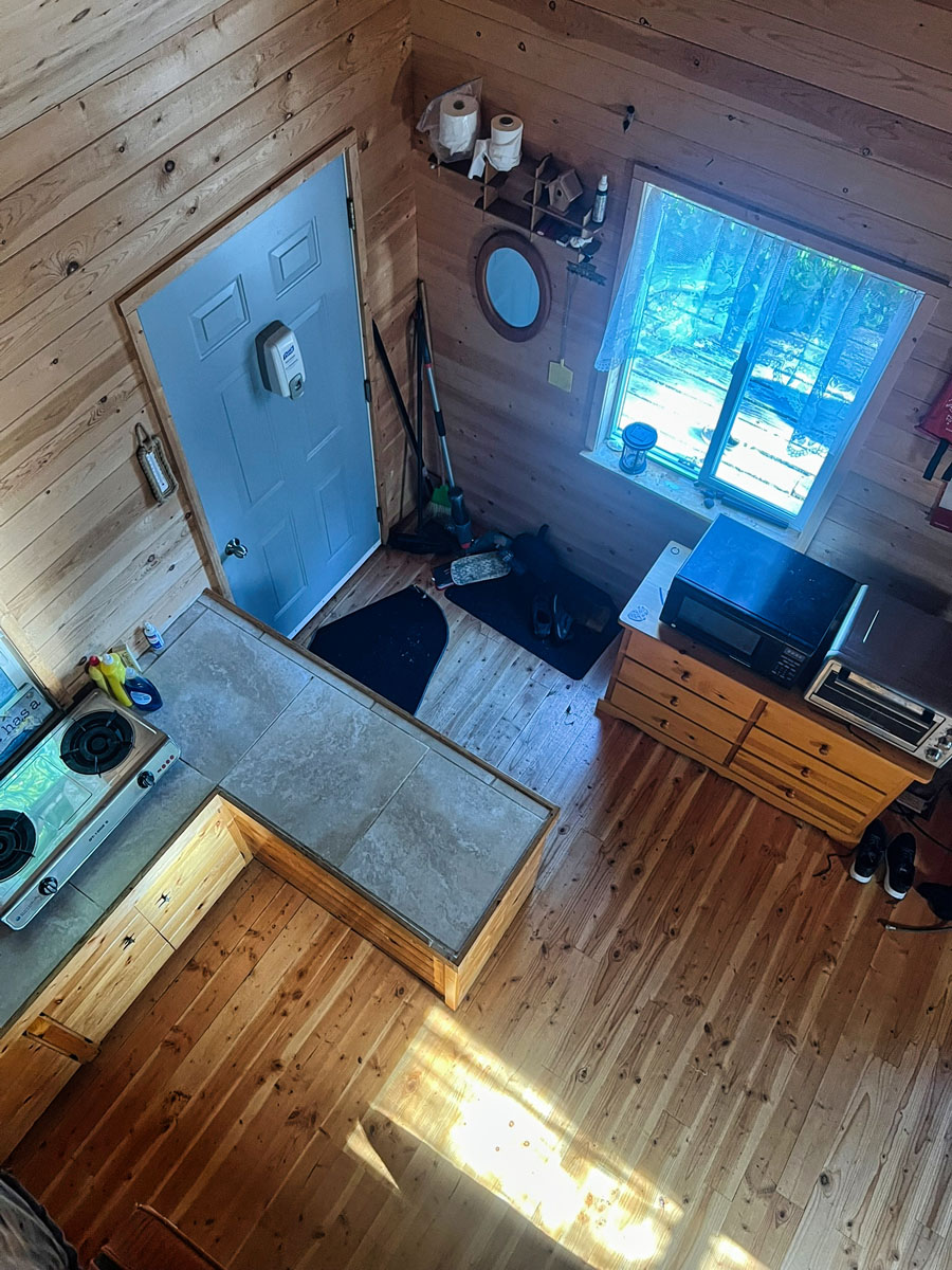
A catchment system provides freshwater. Additionally, the cabin is wired with solar panels, three 190Ah AGM batteries, and a 12V energy efficient fridge. There is a septic tank on site, but it is not installed. An outhouse has been adequate to date.
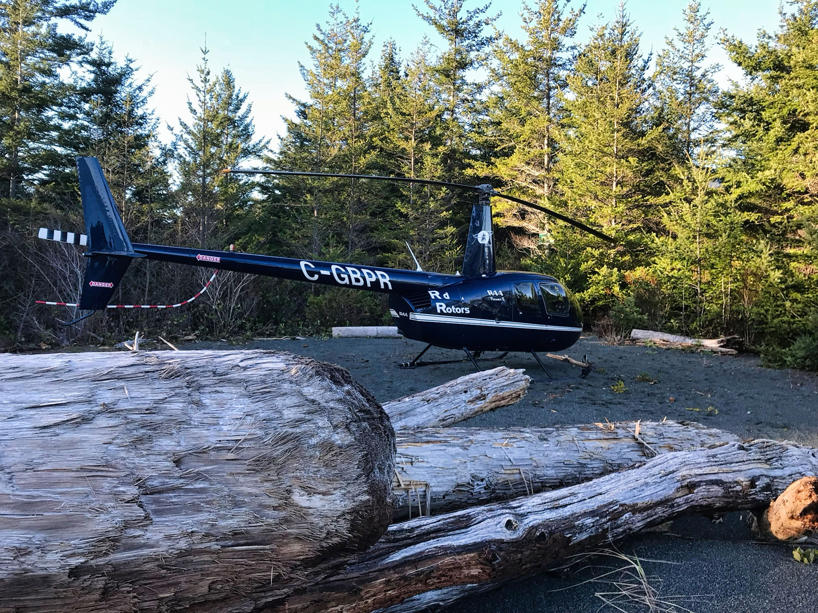
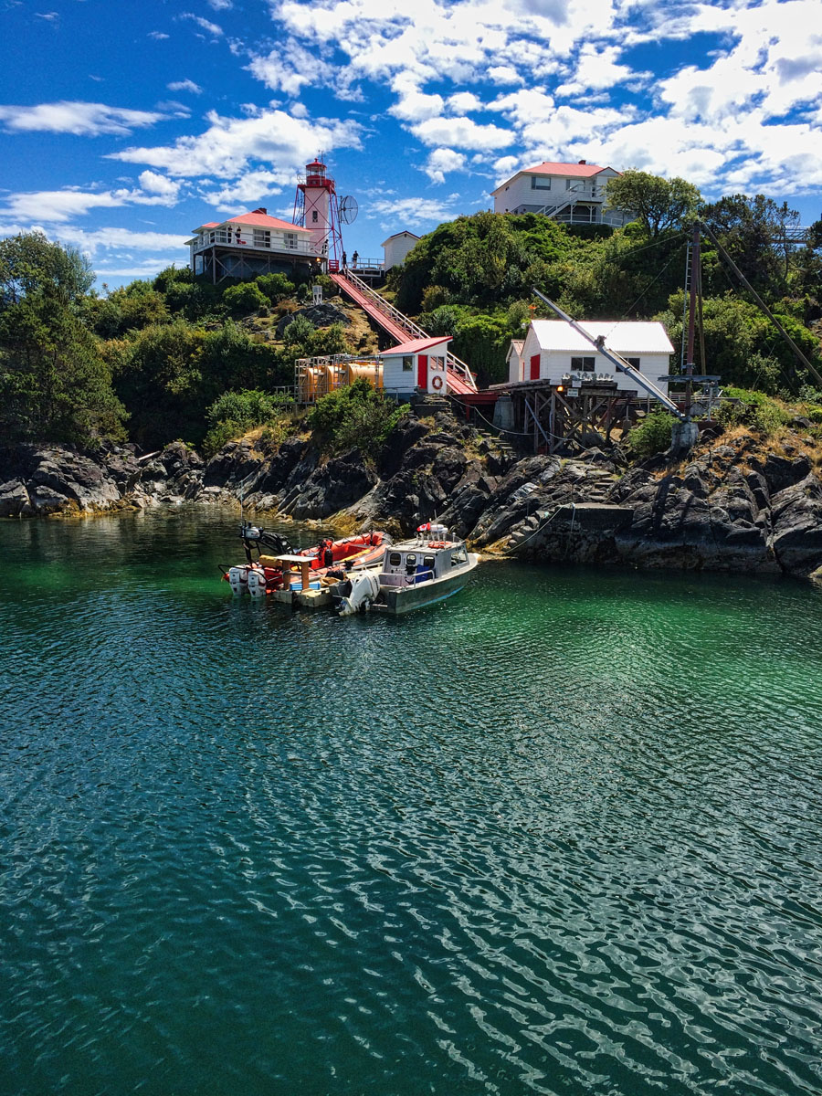
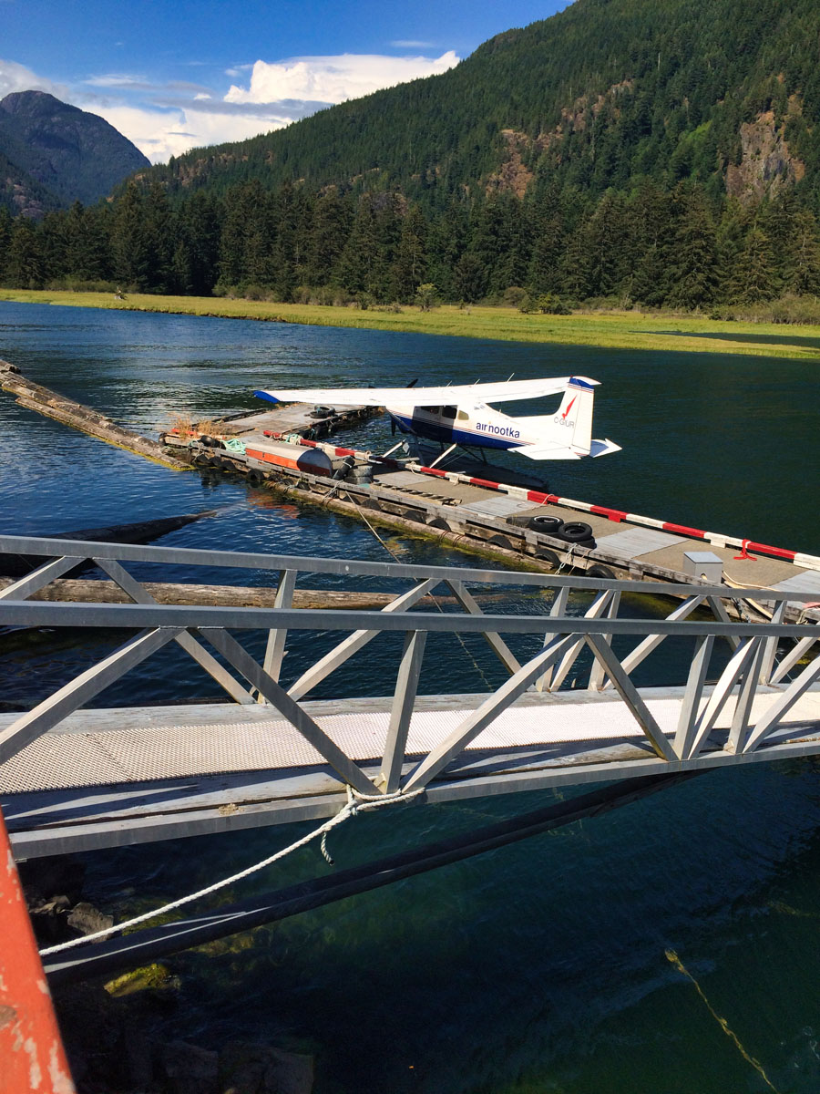
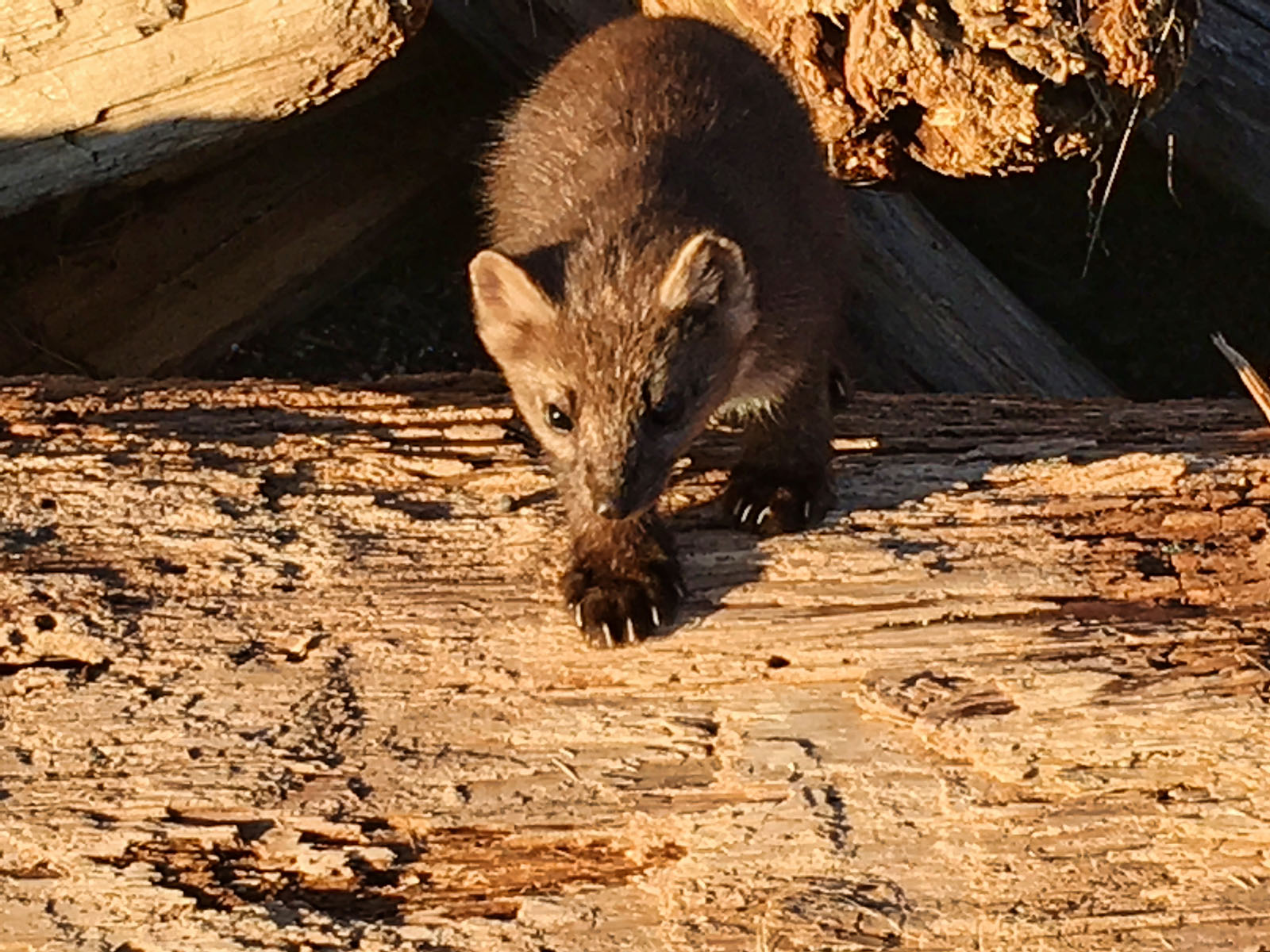
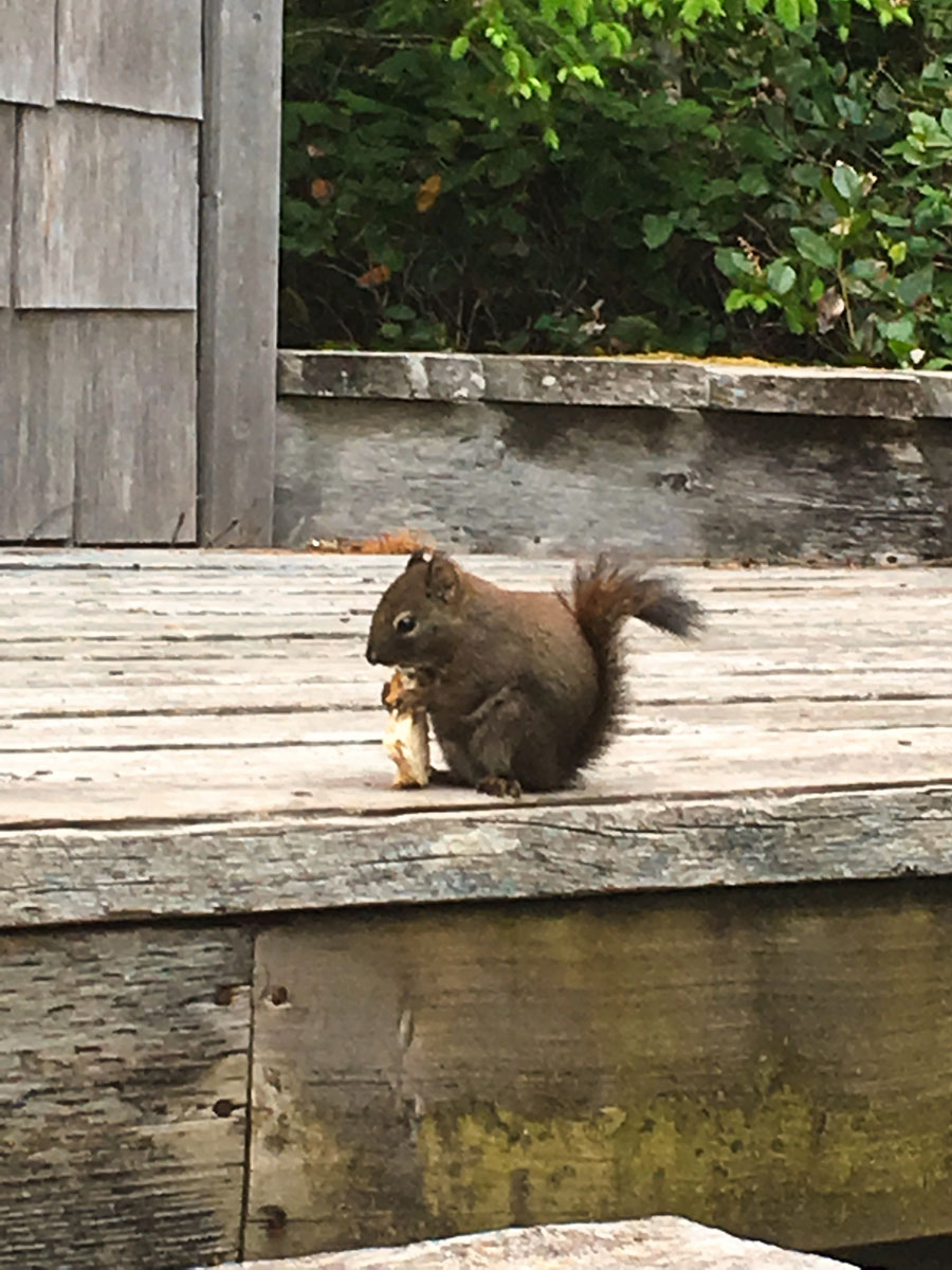
The wildlife experiences can be breathtaking, from whales rubbing on the beach out front to humpbacks, orcas and sealions passing in the Sound. The area is renowned for its natural beauty, abundant wildlife and some of the best sportfishing for salmon, halibut and lingcod anywhere along the BC Coast. Gold River, Tahsis and Zeballos all offer boat launches as well as water taxi services and there are float plane options from Gold River or Campbell River.
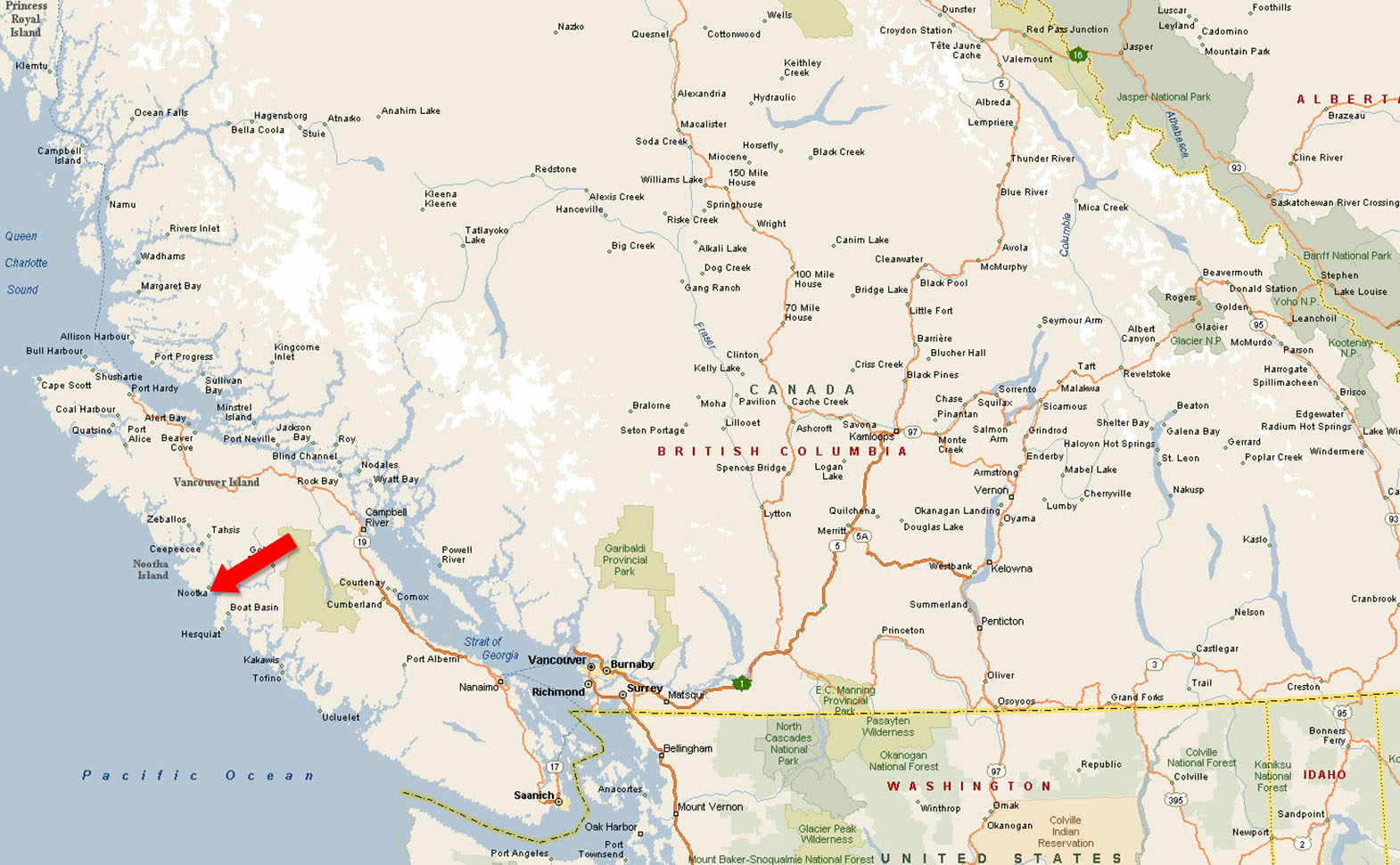
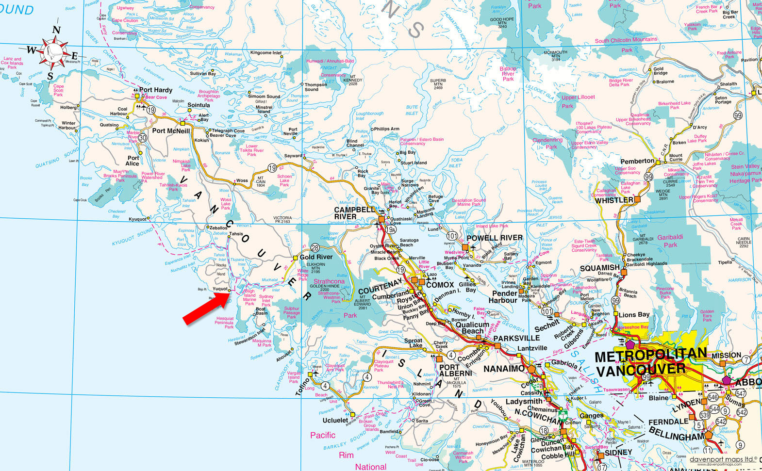
Nootka Island on the west coast of Vancouver Island.
Contact the listing agent.
Nootka Island is the largest island off the west coast of Vancouver Island in British Columbia. It is 510 square kilometres in area. It is separated from Vancouver Island by Nootka Sound and its side-inlets and is located within Electoral Area A of the Strathcona Regional District.
Nootka Island is a large island located on the remote and rugged west coast of Vancouver Island, enveloped by Nootka Sound, Nuchatlitz Inlet, Esperanza Inlet, Tahsis Inlet, and the Pacific Ocean.
Steeped in history and surrounded by the natural beauty of the west coast of Vancouver Island, Nootka Island and the surrounding sounds and inlets provide a paradise for sport anglers and outdoor adventurers seeking to explore and enjoy the magnificent wilderness surroundings. The mountain scenery is unsurpassed in beauty, and the area teems with wildlife.
The birthplace of British Columbia is the small community of Yuquot on Nootka Island, also known as Friendly Cove. Yuquot is the site of the first contact between Europeans and First Nations people in British Columbia.
First Nations people came to magnificent Yuquot over 4,000 years ago, drawn by the rich sea life and natural resources, the mild climate, and the beautiful surroundings. Those same qualities still draw visitors to this magical place today, as there is so much to see and experience. The traditional territory of the Nuu-chah-nulth First Nation incorporates much of the western portion of Vancouver Island.
In March 1778, Captain James Cook of the Royal Navy became the first European to set foot on British Columbian soil when he visited Friendly Cove on Nootka Island. While anchoring in Resolution Cove on Bligh Island, across from Friendly Cove, the natives hollered “itchme nutka, itchme nutka”, meaning “go around” (to Yuquot), but Cook misinterpreted their calls, believing the name of the area to be Nootka.
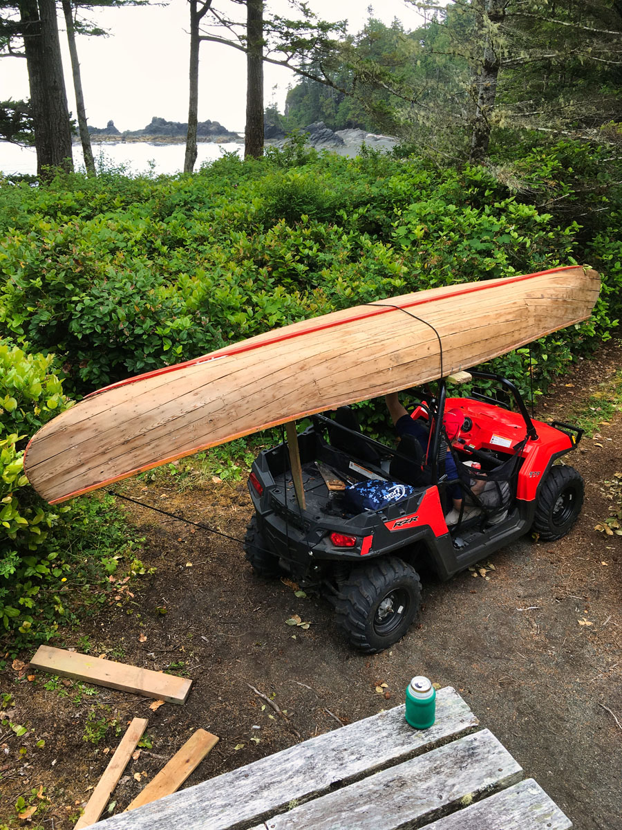
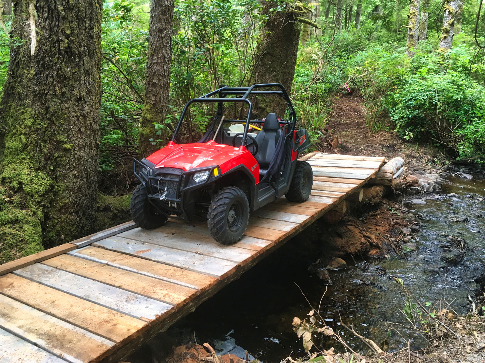
Hiking, kayaking, fishing, boating, site-seeing and swimming.
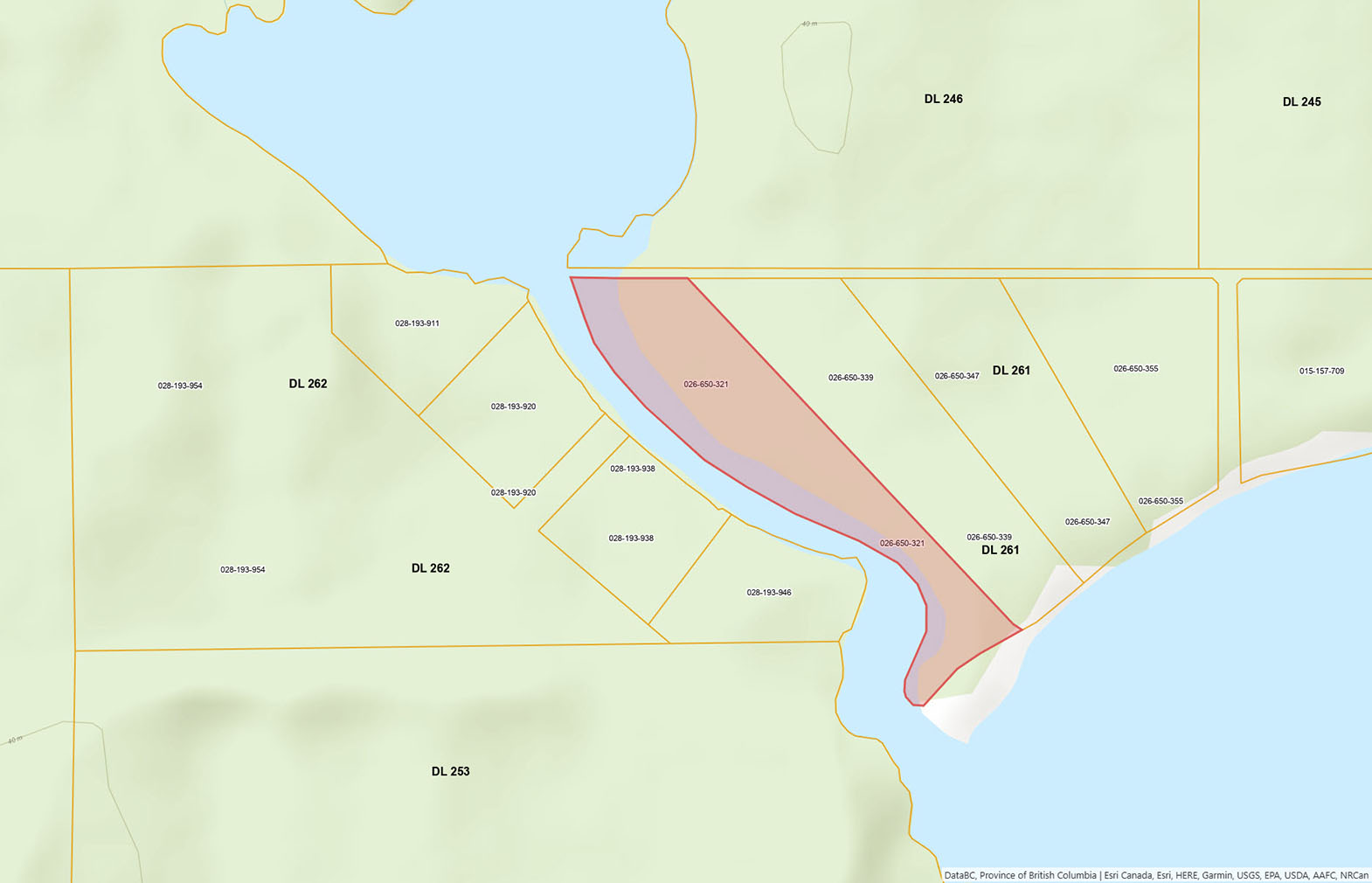
Please see mapping section, all boundaries are approximate.
49°35'31.41"N and 126°39'16.49"W
None.
400 sq. ft. cabin
$2,720.50 (2025)
Property Classification: 01-Residential
Zoning: SD-64 (Subdivision Servicing Standard)
Strathcona Regional District Subdivision Servicing Standards Bylaw No. 64, 2010
Additional zoning information can be found on the Strathcona Regional District website.
Lot 1 District Lot 261 Nootka District Plan VIP80788 (See Plan as to Limited Access)
PID 026-650-321
 +8 maps
Our property descriptions and geographical information are taken from the BC Assessment Authority, Land Titles Office, government maps and other sources. While LandQuest® does not guarantee the information, we believe it to be accurate, but should not be relied upon without verification. This communication is not intended to cause or induce breach of an existing agency agreement.
Stewardson Inlet
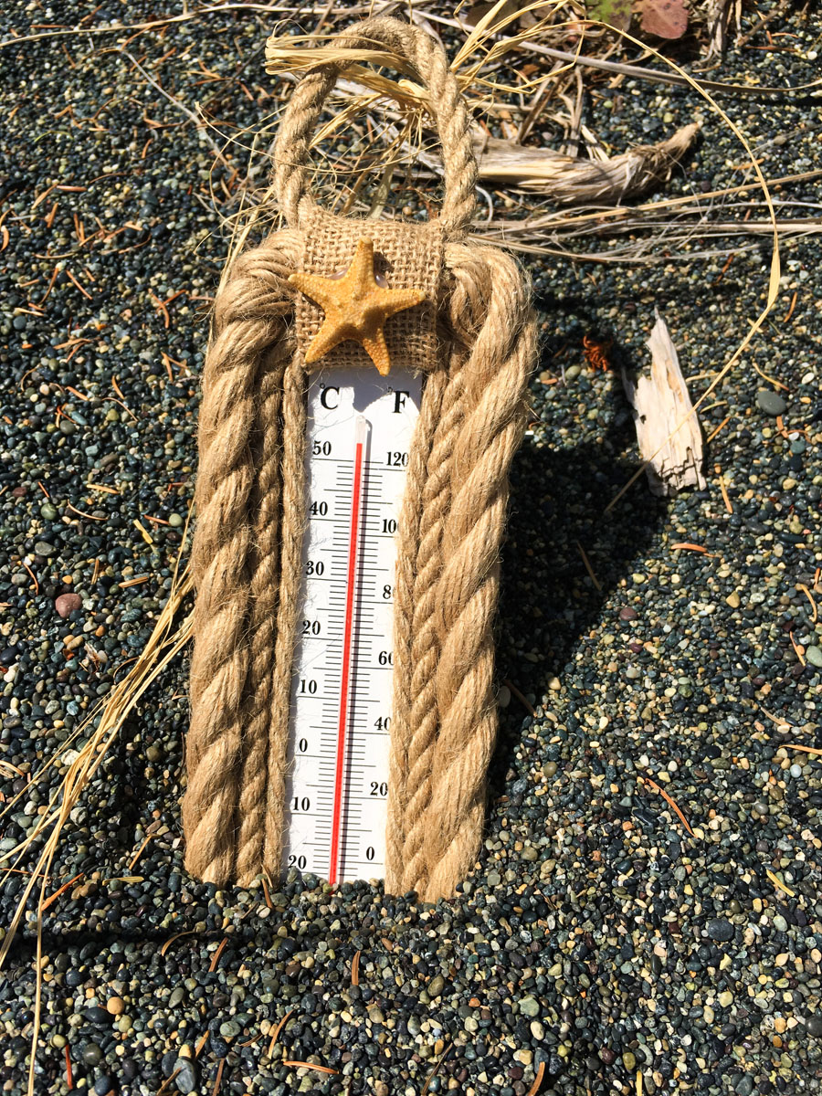
 15℃
13℃
15℃
13℃