


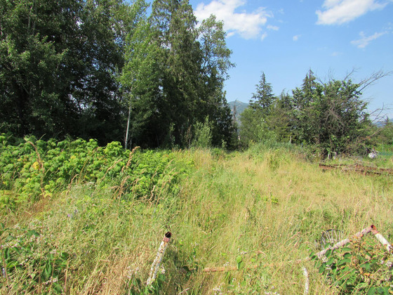
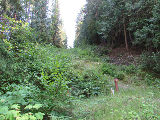
32-acre parcel. Priced to sell! Vacant land within the city limits. Two separate access points. Walking distance to shopping and restaurants. an awesome private estate, hobby farm or orchard. Great growing climate. Covered in mature timber. Seasonal creek.


 +14 photos
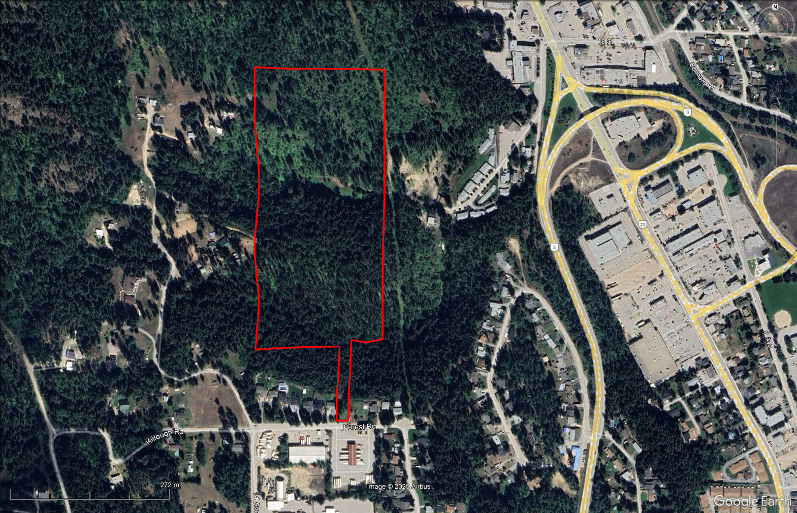

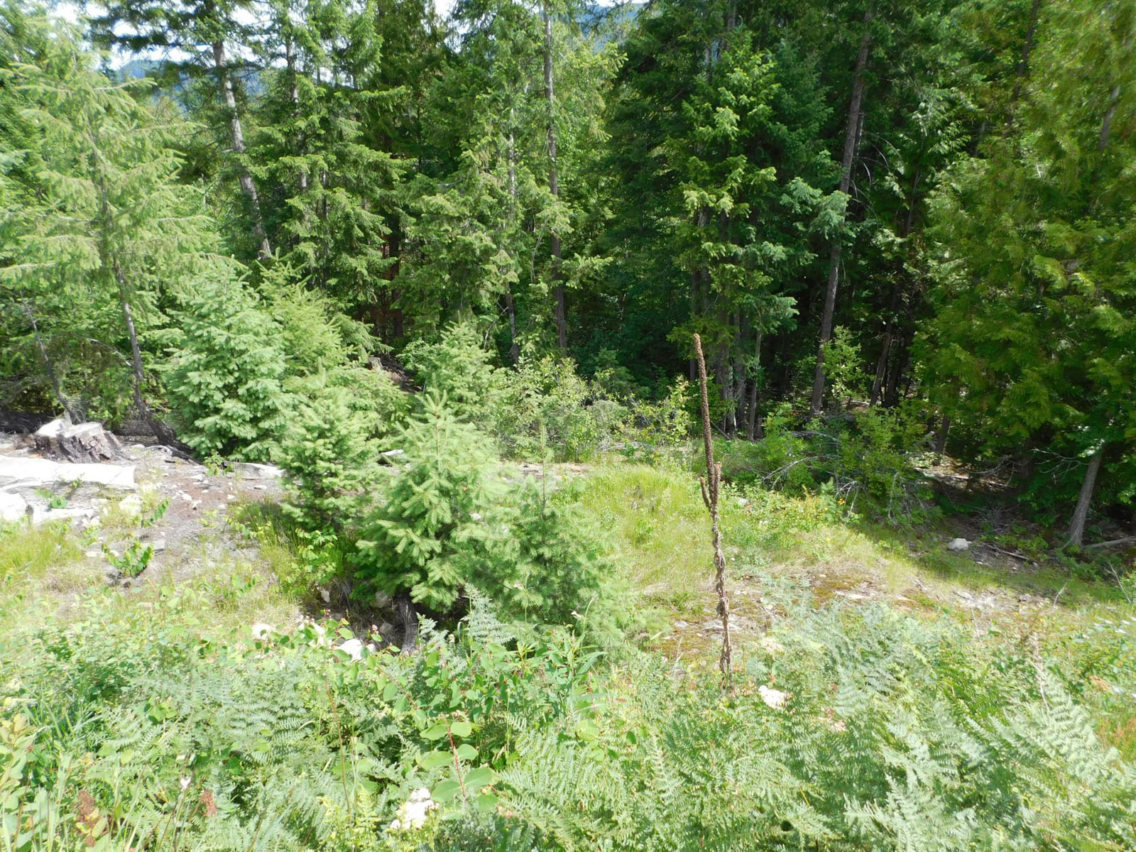

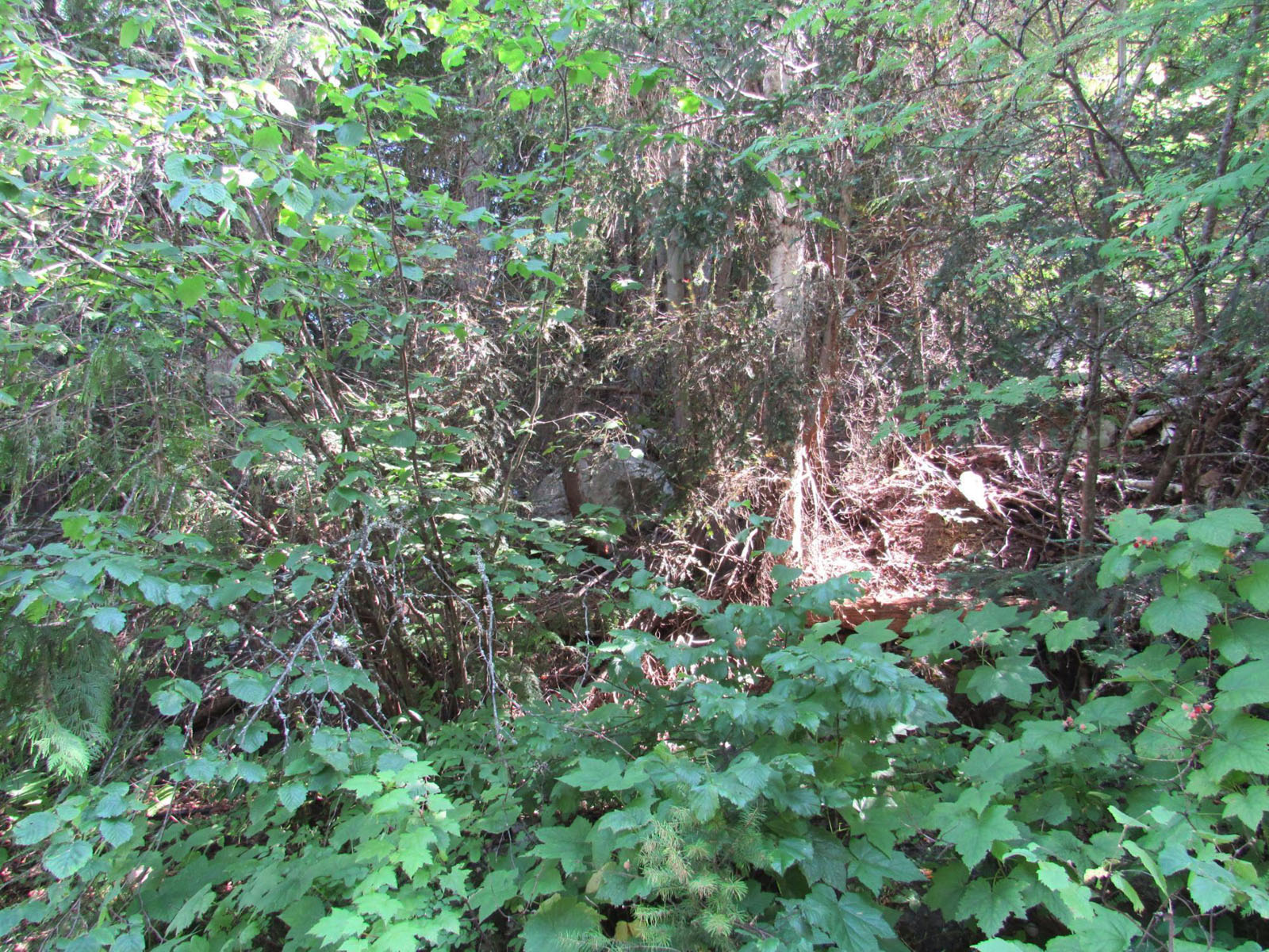
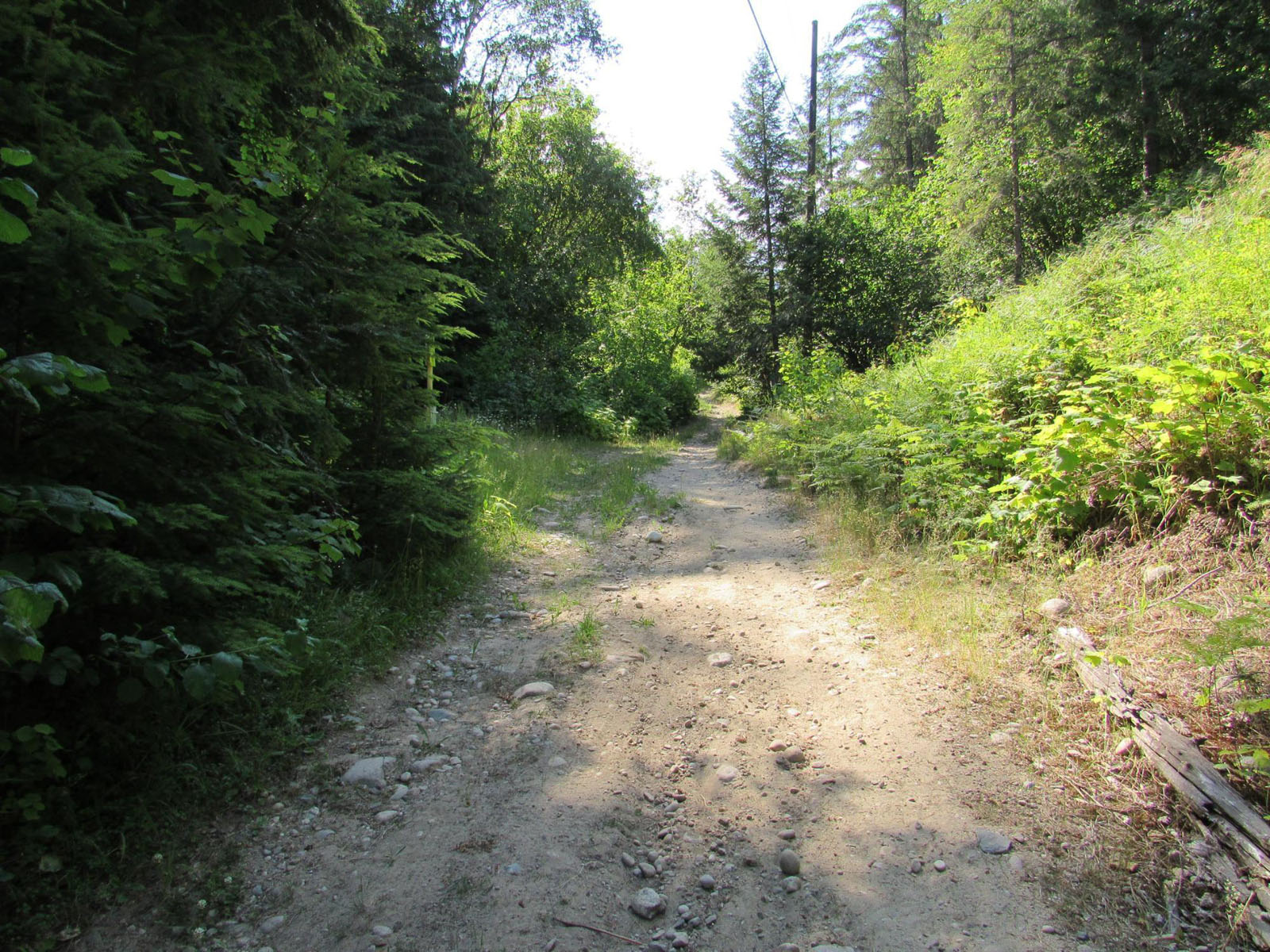

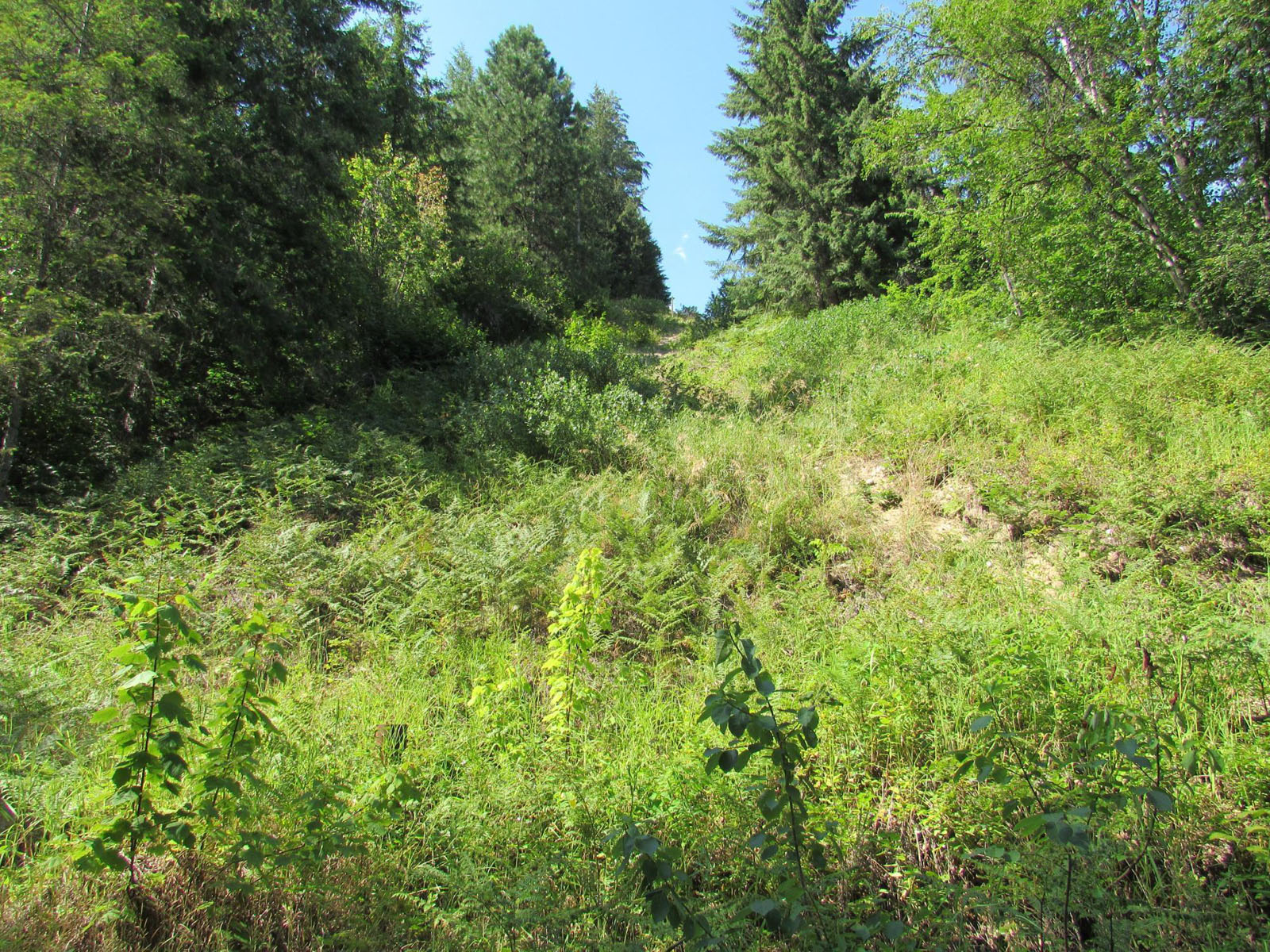
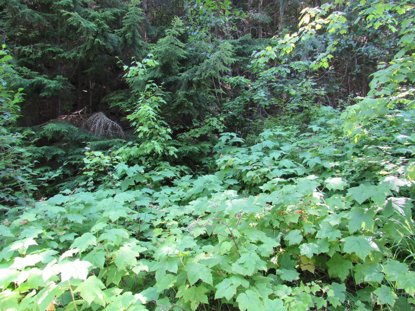
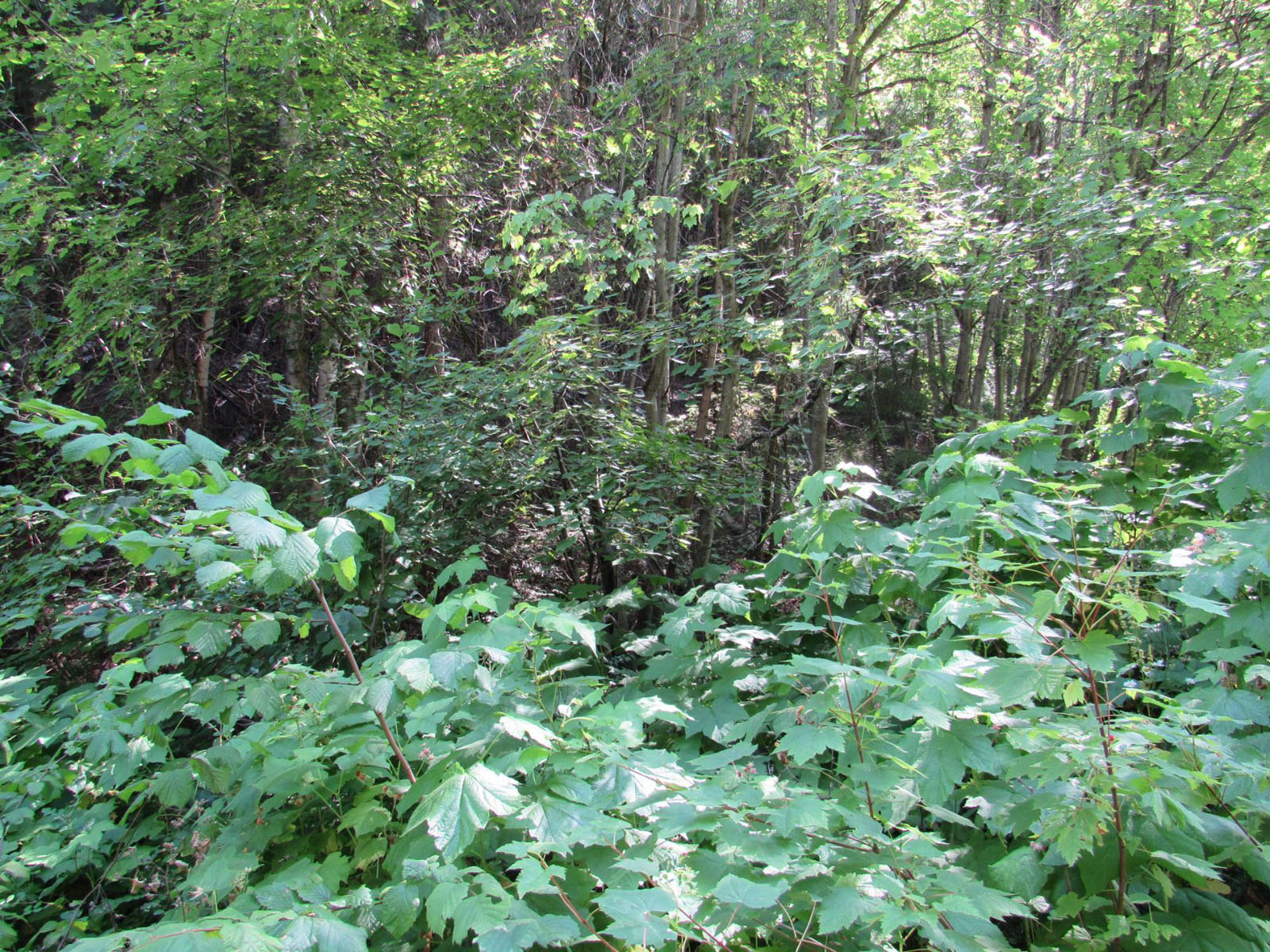
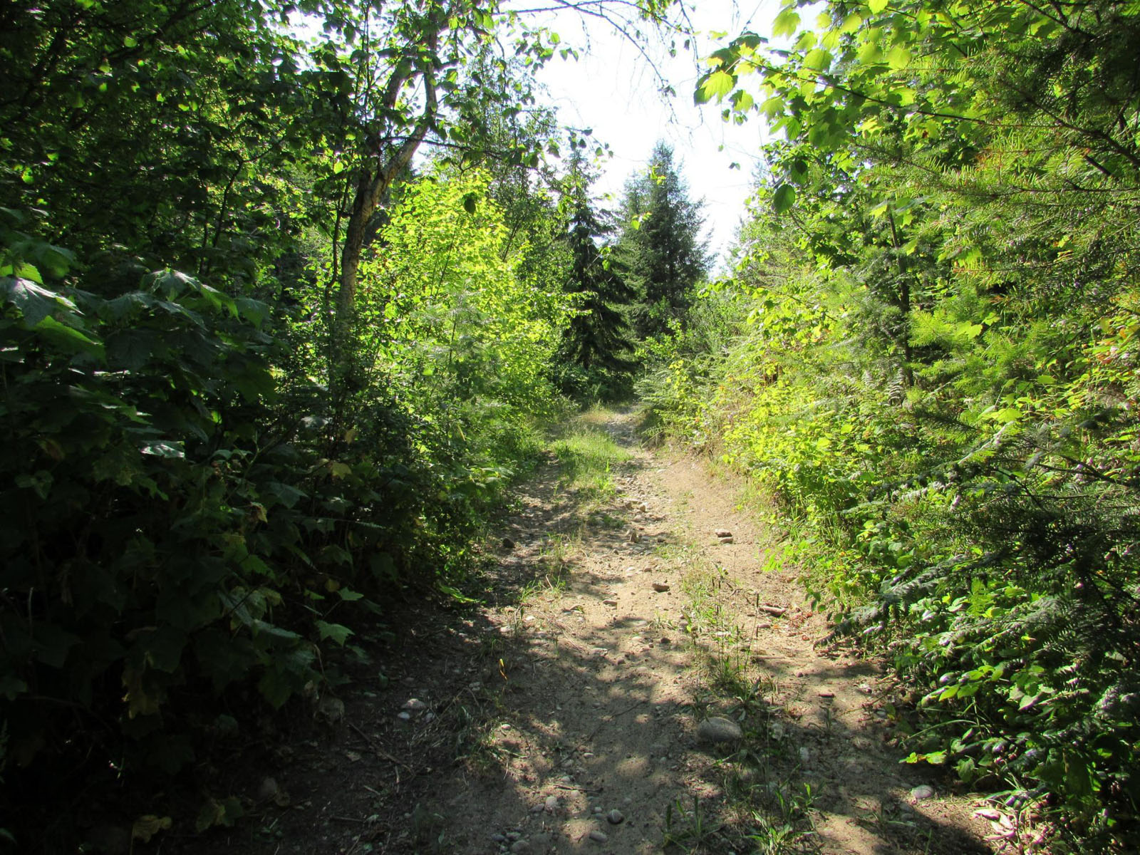
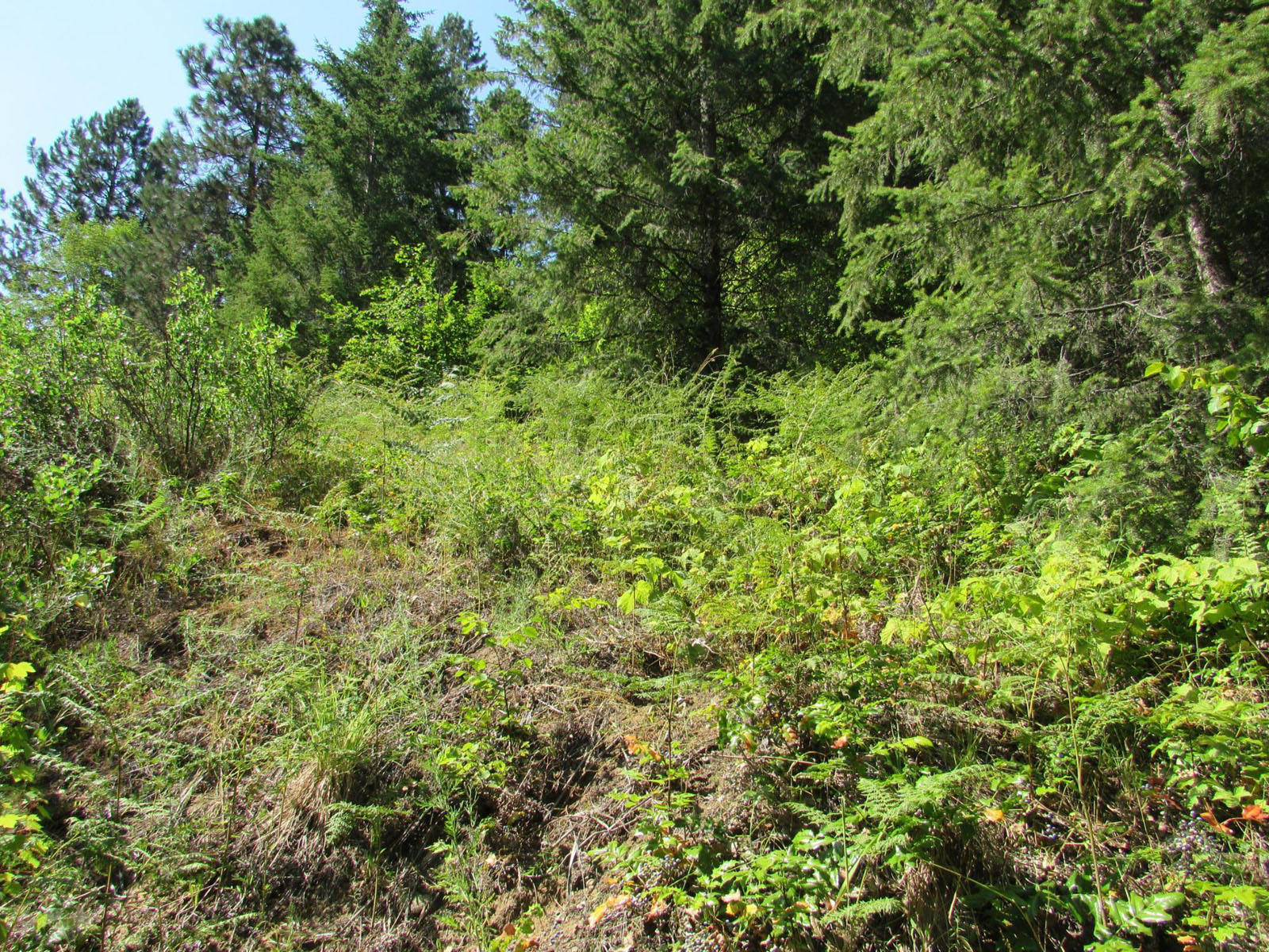
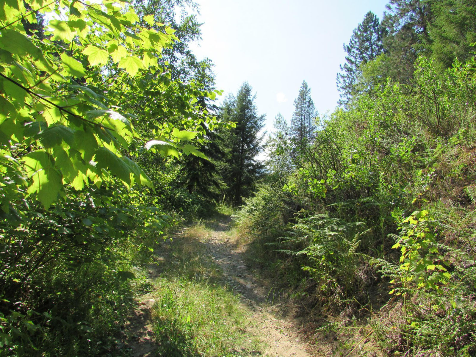
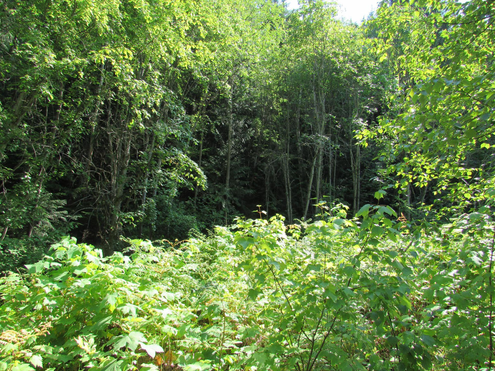
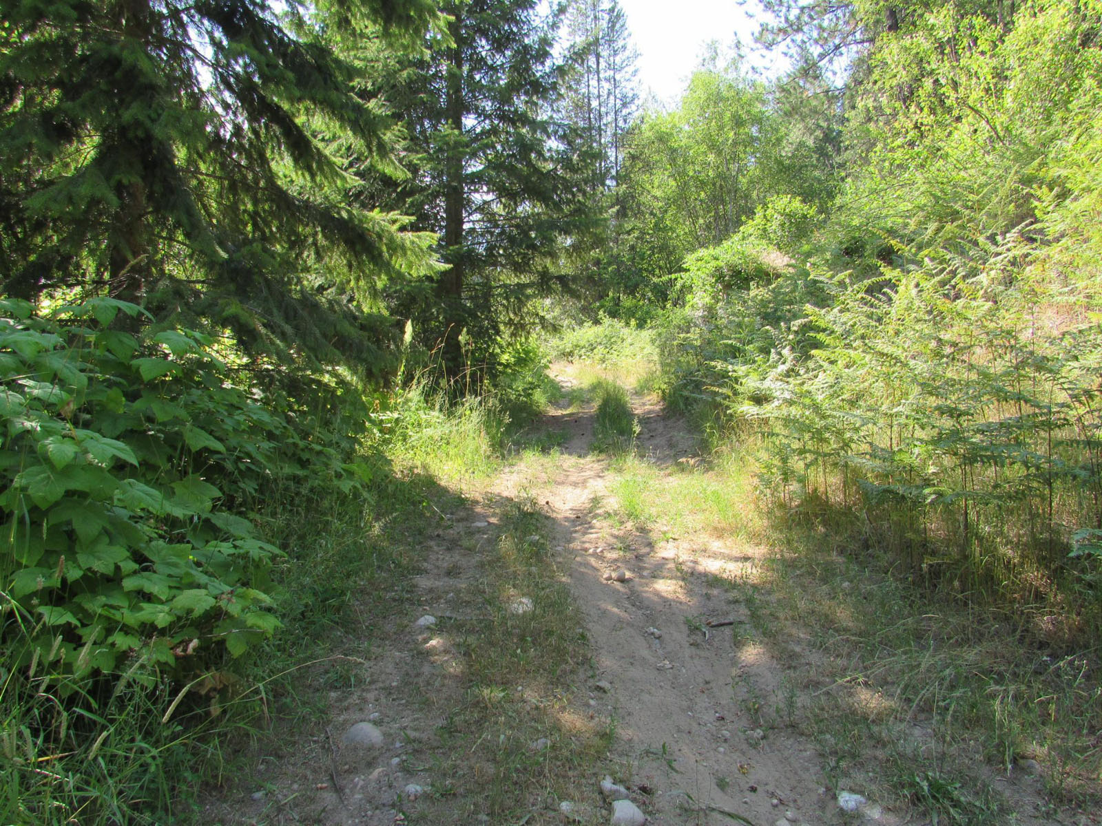
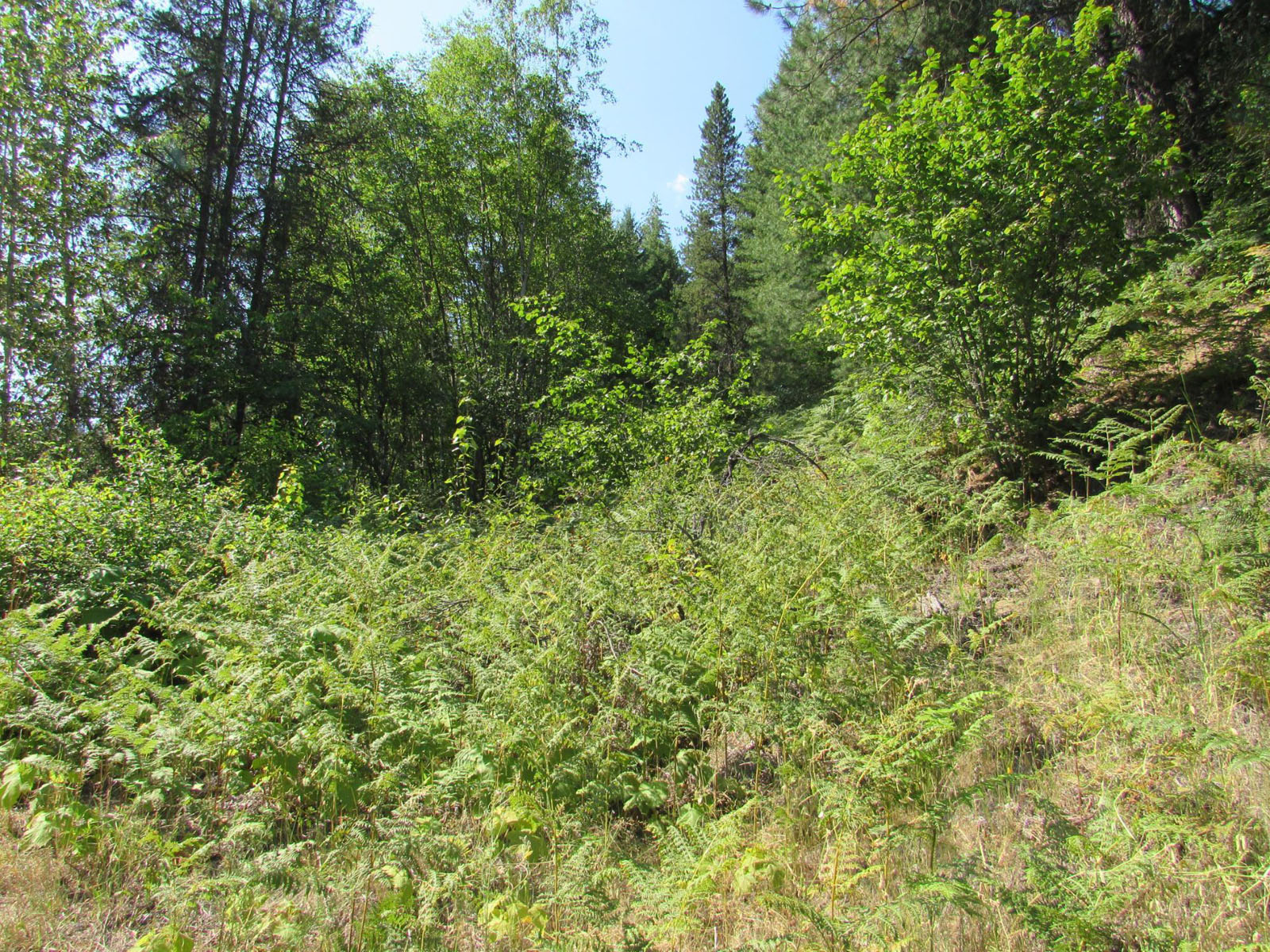
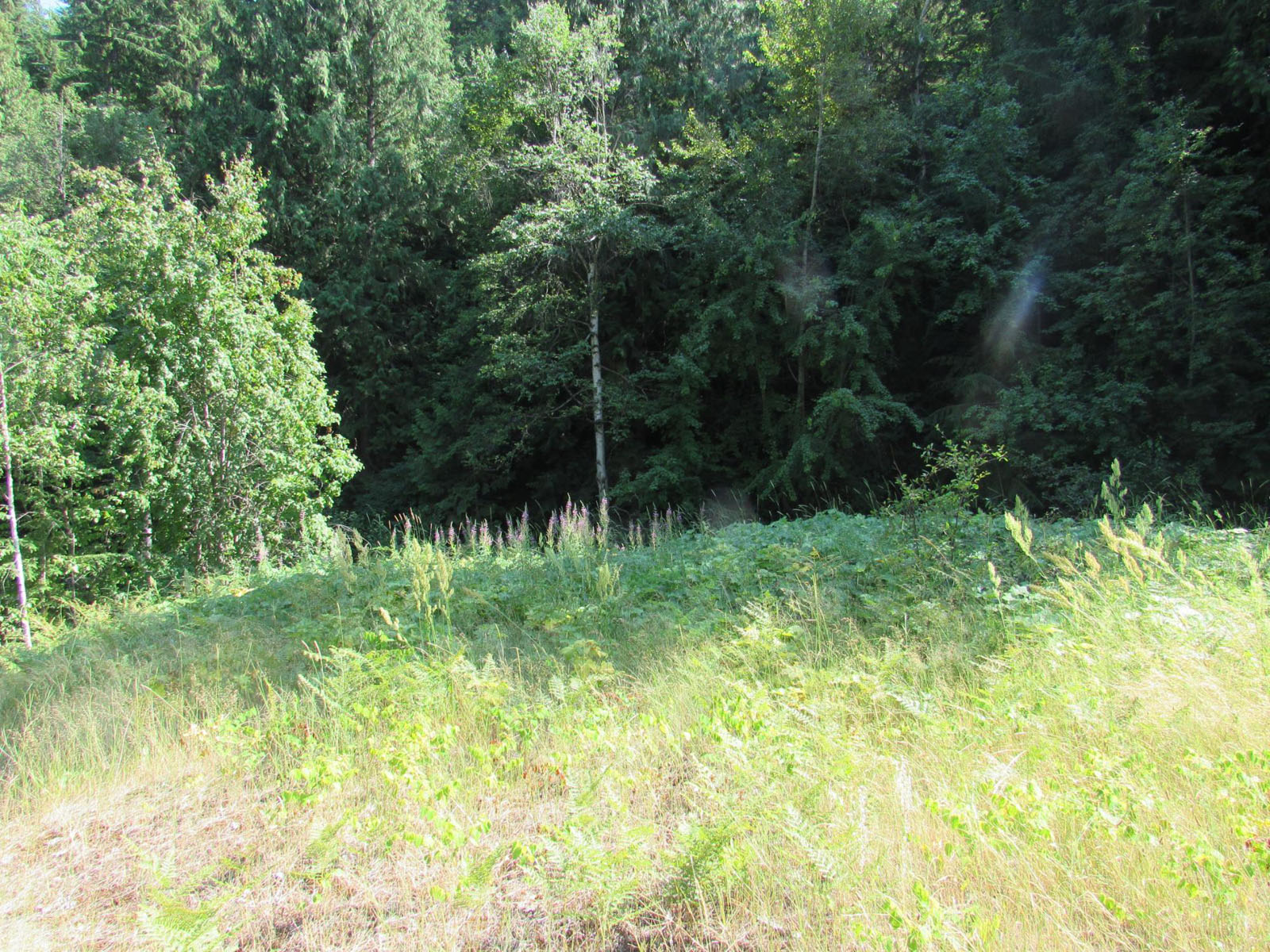
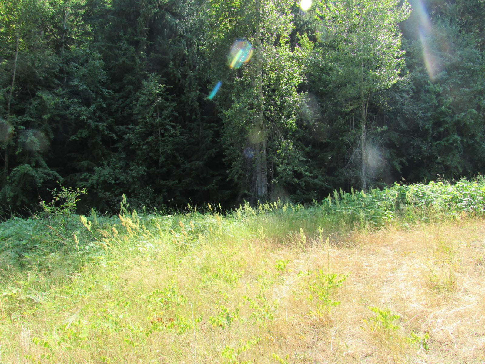
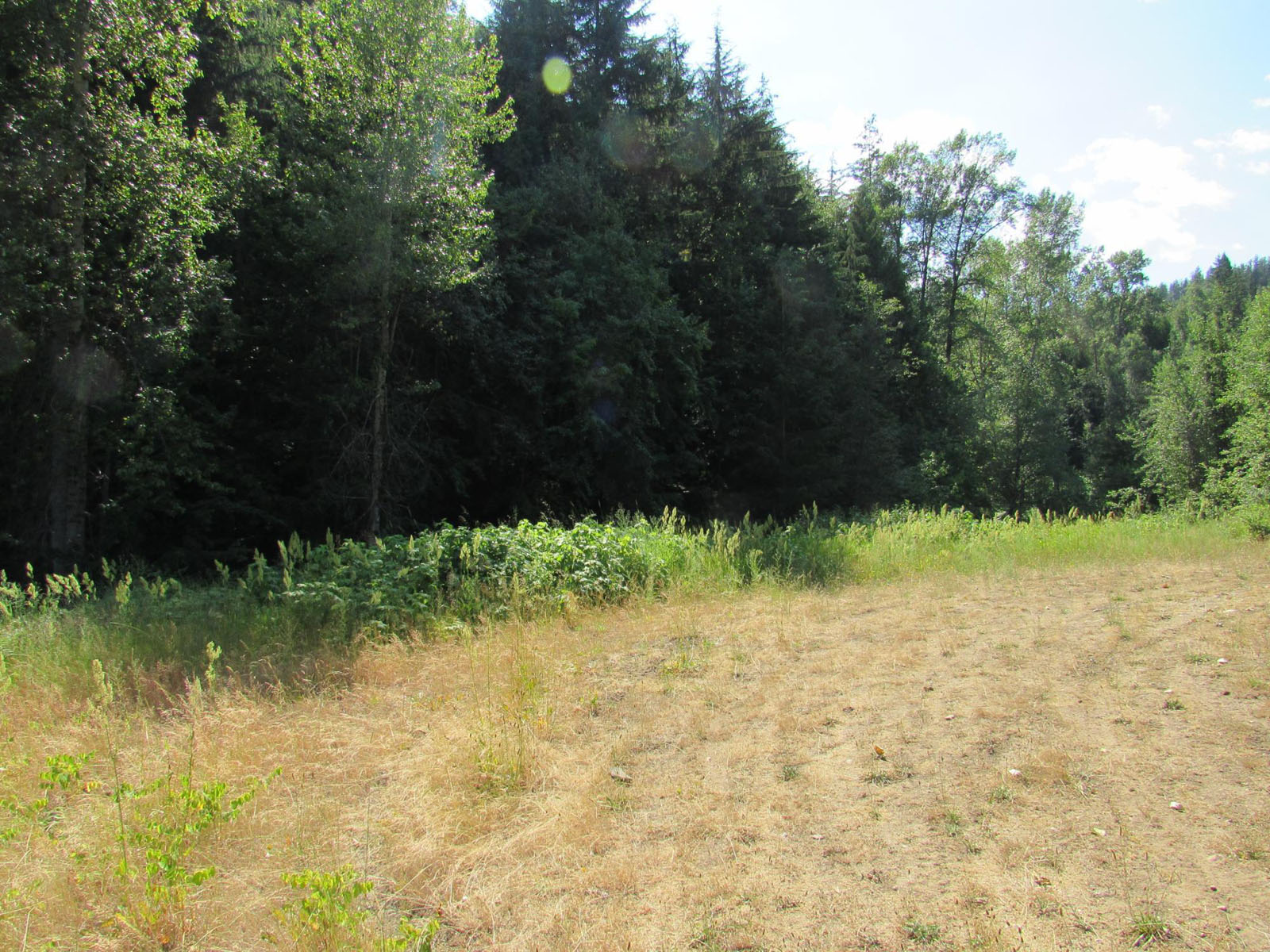
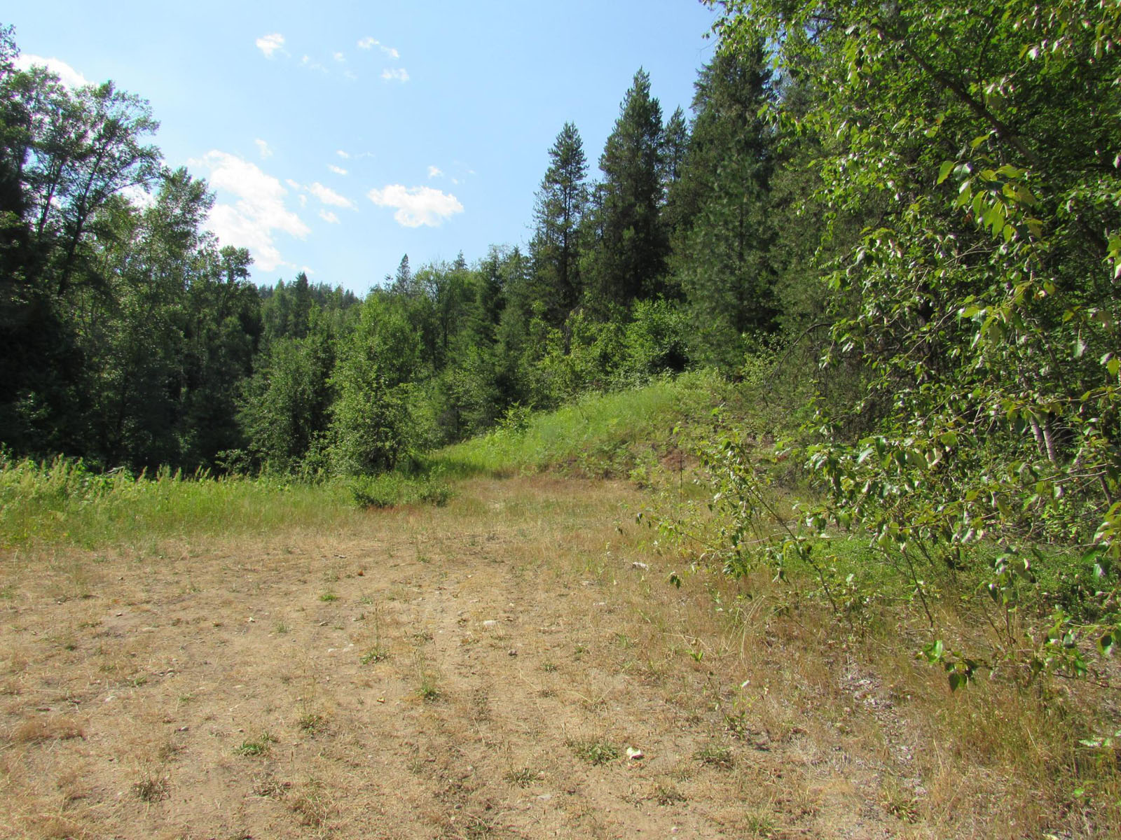
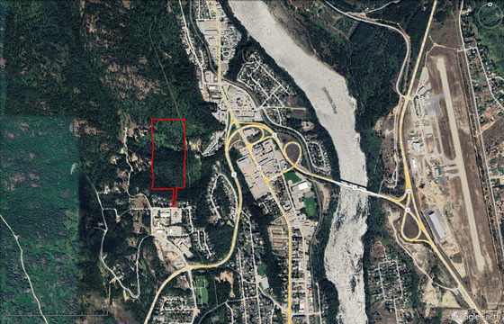
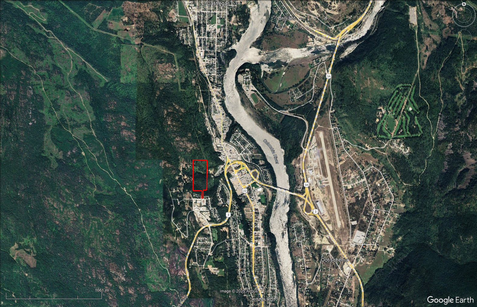
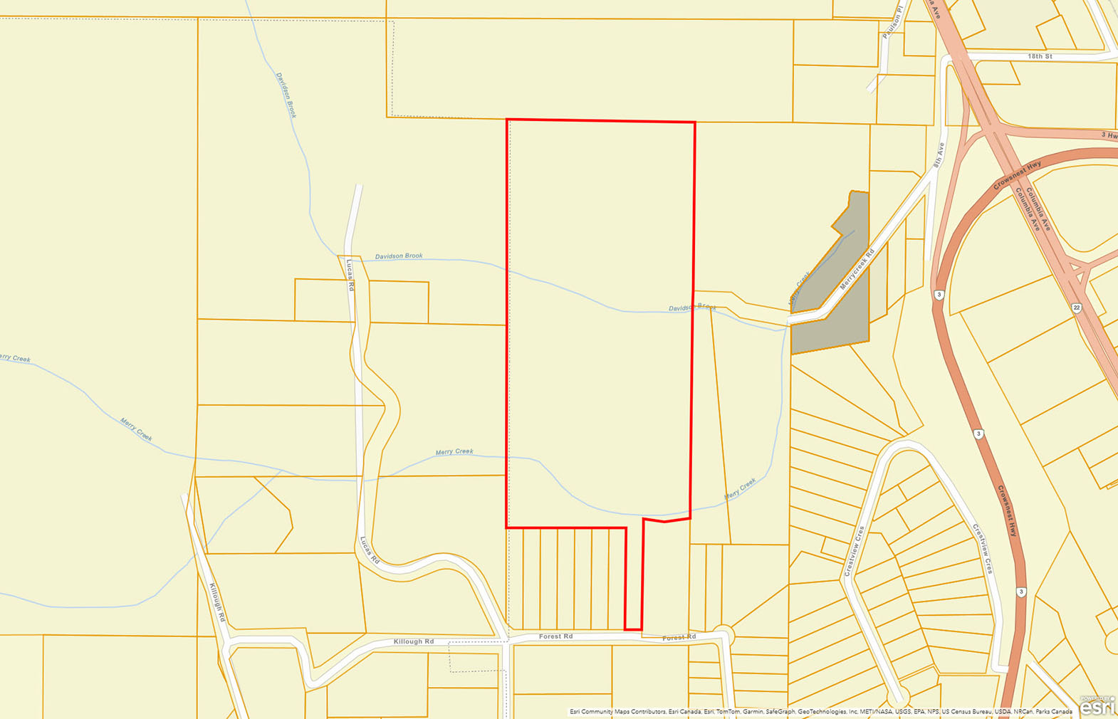
32 acres within the City of Castlegar. Priced to sell! Two different access points, one from the end of Merry Creek Road where the City of Castlegar may allow a driveway standard road for access and the second access along Forest Road. The access off Merry Creek Road would need to be upgrade of the Ministry of Transportation standard if you want ot develop the property using this as the primary access point. Would be an awesome private estate, orchard or agricultural hobby farm. Under the current zoning, only hens and bees are permitted as livestock within city limits. While agricultural and horticultural pursuits are allowed, the keeping of these animals requires the appropriate permits. The climate in this area is fantastic with an excellent growing season, where someone with a green thumb could grow almost any veggie with fruit trees also doing well in this climate. In fact, if you look closely, you can see that the property was part of an old original homestead, where there are several apple trees remaining not far from the creek which runs seasonally.
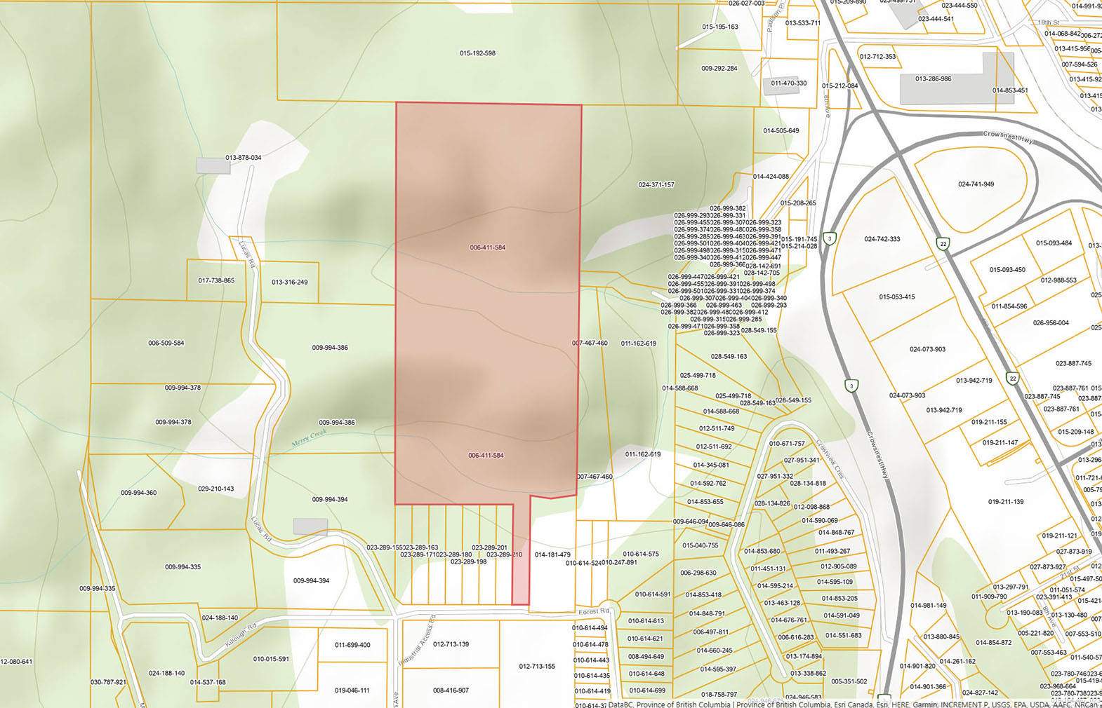
The property has 2 separate zoning designations, with the area along Forest Road zoning R1, allowing for residential uses with a maximum density permitted of four (4) Dwelling Unit(s) Per Lot. The northern section of the property is zoned CPA: Comprehensive Planning, which allows a combination of residential and agricultural uses. Great building sites with the ultimate in privacy, with the entire property is treed with mature timber. Bring your portable saw mill and create build out your estate using your own timber. Total privacy, yet close enough to town to walk to get groceries or go out for dinner in downtown Castlegar.
Call the listing agent for more info or to book a showing.
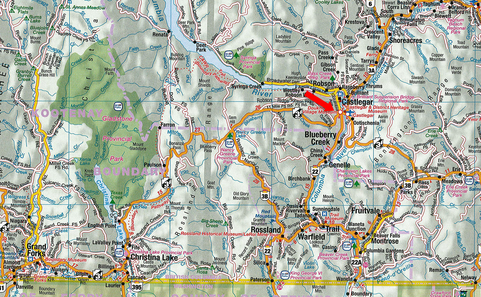
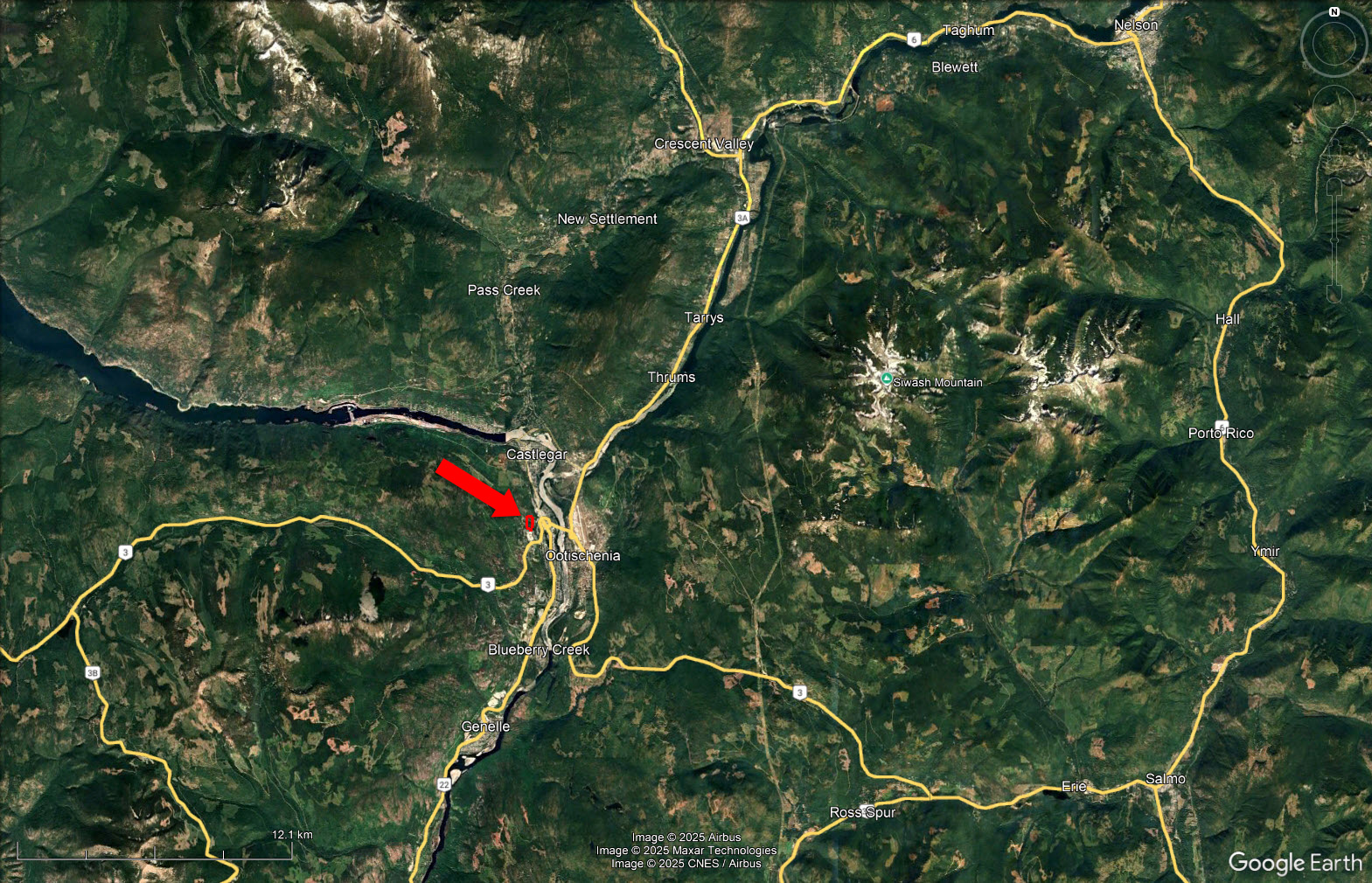
1365 Forest Road - Castlegar, BC
Please see the mapping section of this listing for detailed location.
Two different access points, one from the end of Merry Creek Road where the City of Castlegar may allow a driveway standard road for access and the second access along Forest Road.
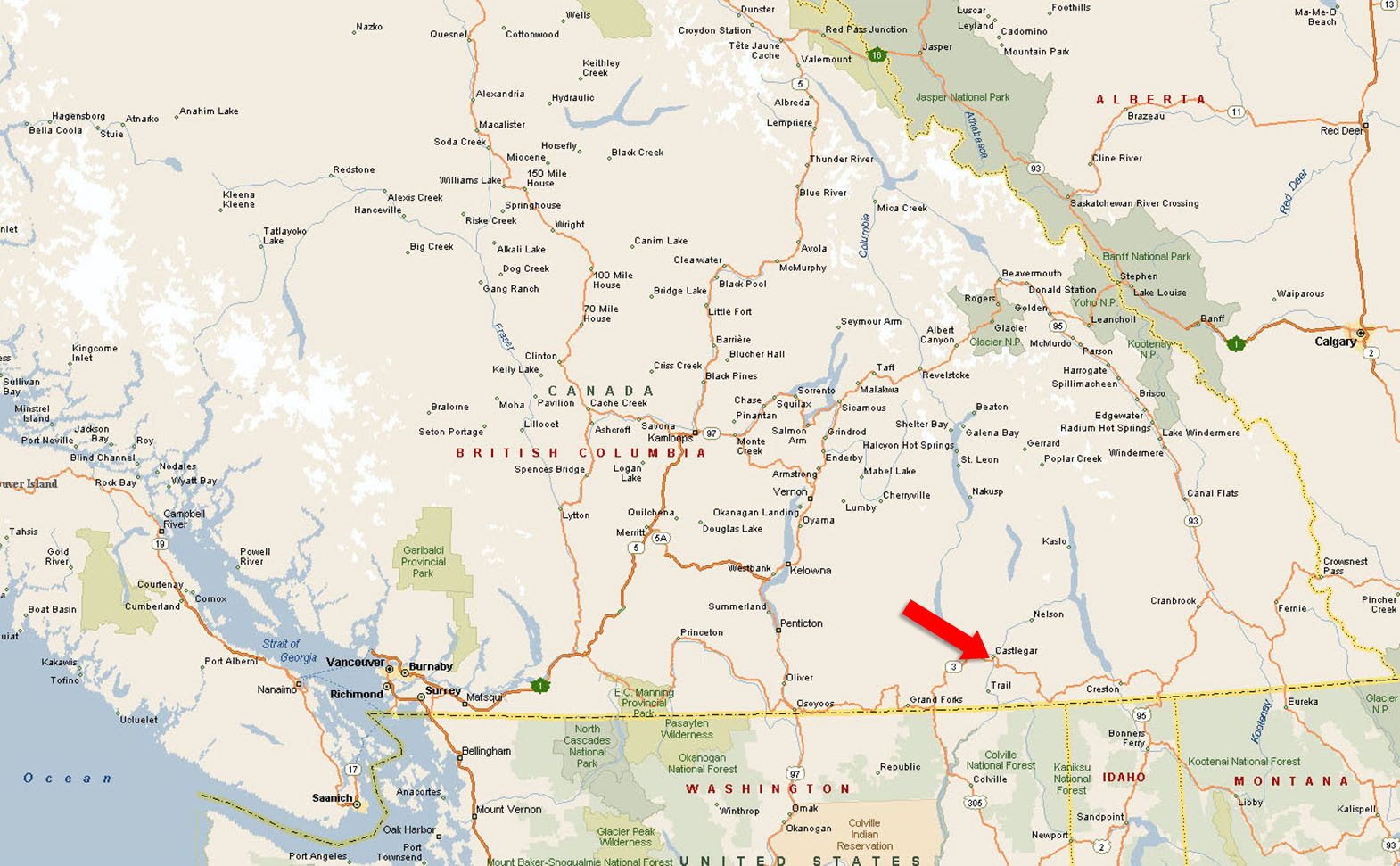
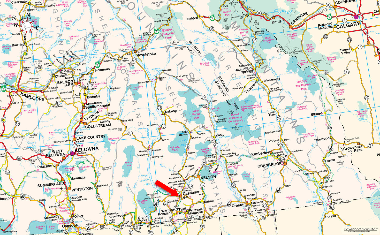
Castlegar is situated at the confluence of the Columbia and Kootenay Rivers in the West Kootenay region of British Columbia. It serves as a trade and service hub for roughly 70,000 people across the surrounding valleys.
The local economy is supported by forestry, hydro power, mining, and a growing commercial services sector, complemented by institutions like Selkirk College and the regional airport. Population growth in recent years has been steady, with surrounding rural areas seeing particularly strong increases, and housing remains relatively affordable compared to larger BC centres.
The community vibe in Castlegar is friendly, down-to-earth, and family-oriented, often described as a small city with a big heart. Residents enjoy a slower pace of life with strong ties to their neighbours and an emphasis on connection through community events, markets, and cultural gatherings. Creativity, sustainability, and entrepreneurship are strong values, and the setting between rivers and mountains fosters a lifestyle that blends a relaxed pace with an appreciation for the outdoors and a welcoming, inclusive spirit.
In Castlegar, recreation shifts naturally with the seasons. During spring and summer, the Columbia and Kootenay Rivers, along with Lower Arrow Lake, are busy with fishing, boating, kayaking, and swimming, while Syringa Provincial Park draws many for camping and water-based activities. Trails such as the Columbia and Western Rail Trail offer popular hiking and biking routes, and the Castlegar Golf Club sees steady use through the warmer months. In fall, hiking and cycling remain common, with many taking advantage of the changing scenery along local trails and river valleys. Winter recreation turns to skiing and snowboarding at Red Mountain Resort in nearby Rossland, along with snowshoeing and cross-country skiing on local trails. Throughout the year, residents and visitors also engage with cultural sites like the Doukhobor Discovery Centre, Zuckerberg Island Heritage Park, and the Castlegar Sculpturewalk, which provide options beyond outdoor activity.
Castlegar’s history began to take shape in the late 19th and early 20th centuries as European settlers moved into the West Kootenay region. The city developed at the junction of the Columbia and Kootenay Rivers, initially serving as a transportation and trade hub. Early industries included mining, forestry, and agriculture, which attracted workers and families to the area. The arrival of the Canadian Pacific Railway and the expansion of road networks helped Castlegar grow as a regional service centre, connecting nearby communities and fostering commerce.
The city was officially incorporated in 1946, and post-war development brought infrastructure improvements, schools, and healthcare facilities. Over time, Castlegar expanded as a cultural and economic centre for the West Kootenay, supporting industries like hydroelectric power, forestry, and manufacturing, while also developing educational institutions such as Selkirk College. Today, Castlegar reflects a mix of its industrial roots and community-oriented growth, with a focus on both economic development and cultural life.
Please see the mapping section of this listing, all boundaries are approximate.
49°17'46.77"N and 117°39'48.91"W
Power at lot line.
$2,748.20 (2025)
R1: Low Density Residential and CPA: Comprehensive Planning Area
DISTRICT LOT 12364 KOOTENAY LAND DISTRICT EXCEPTPLAN 6388 & EXCEPT PL NEP19589, NEP22731
PID 006-411-584
 +8 maps

Our property descriptions and geographical information are taken from the BC Assessment Authority, Land Titles Office, government maps and other sources. While LandQuest® does not guarantee the information, we believe it to be accurate, but should not be relied upon without verification. This communication is not intended to cause or induce breach of an existing agency agreement.
Ootischenia
 32℃
32℃
 21℃
21℃