


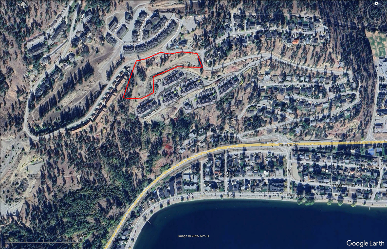
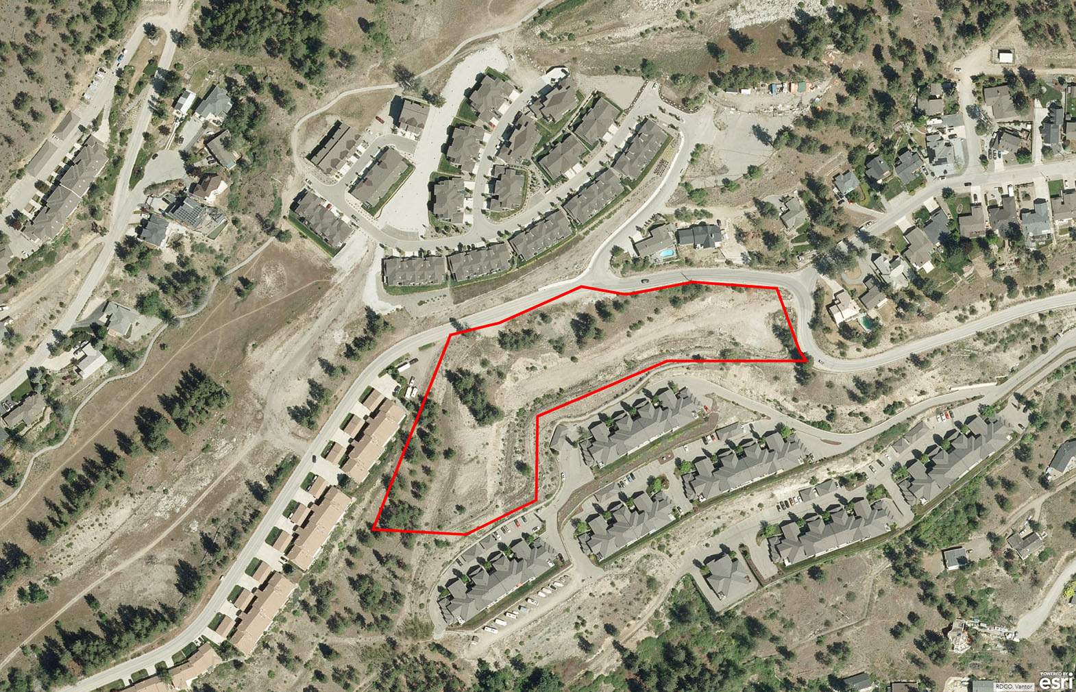
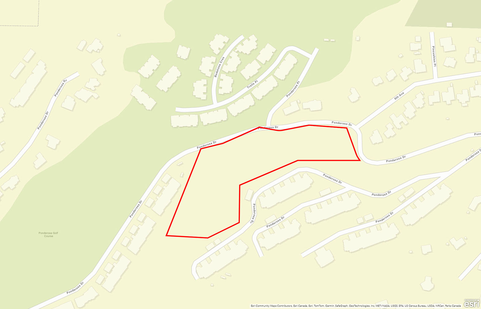
Stunning 5.14-acre development opportunity in Peachland! Currently zoned RM3 - Residential Medium Density, all utilities nearby, including sewer. Near the proposed Ponderosa 9-hole golf course. Original concept was three 3-storey buildings with 16 units each (48 total).


 +16 photos
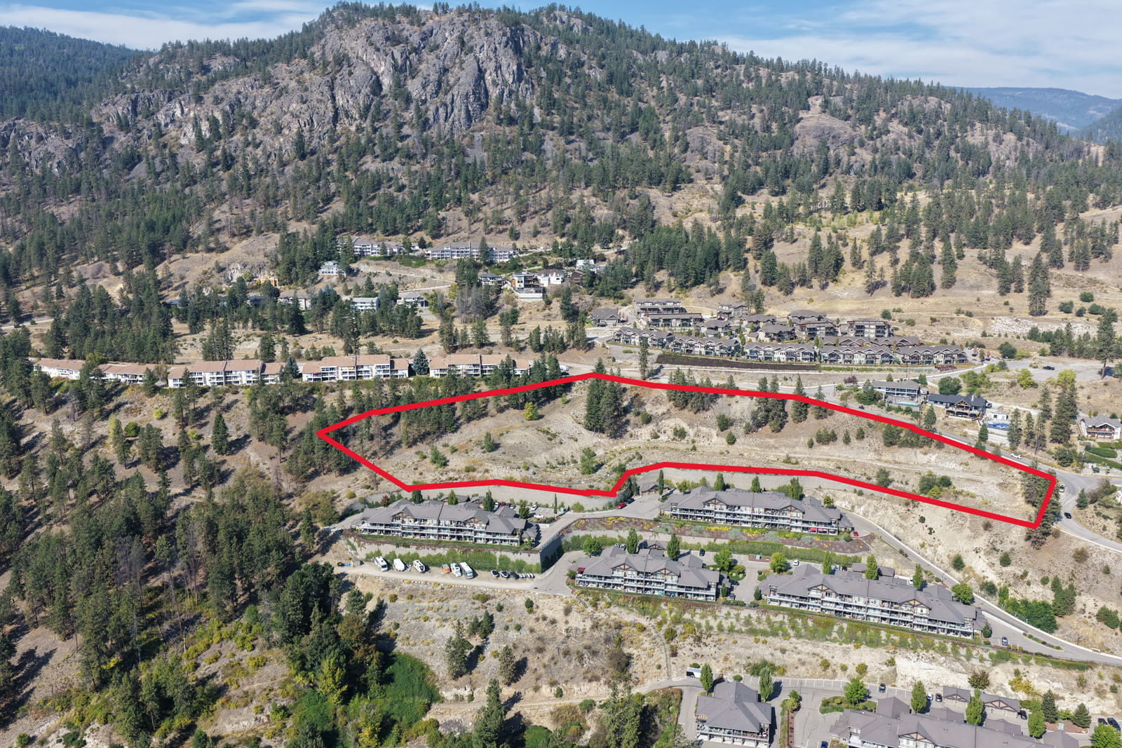
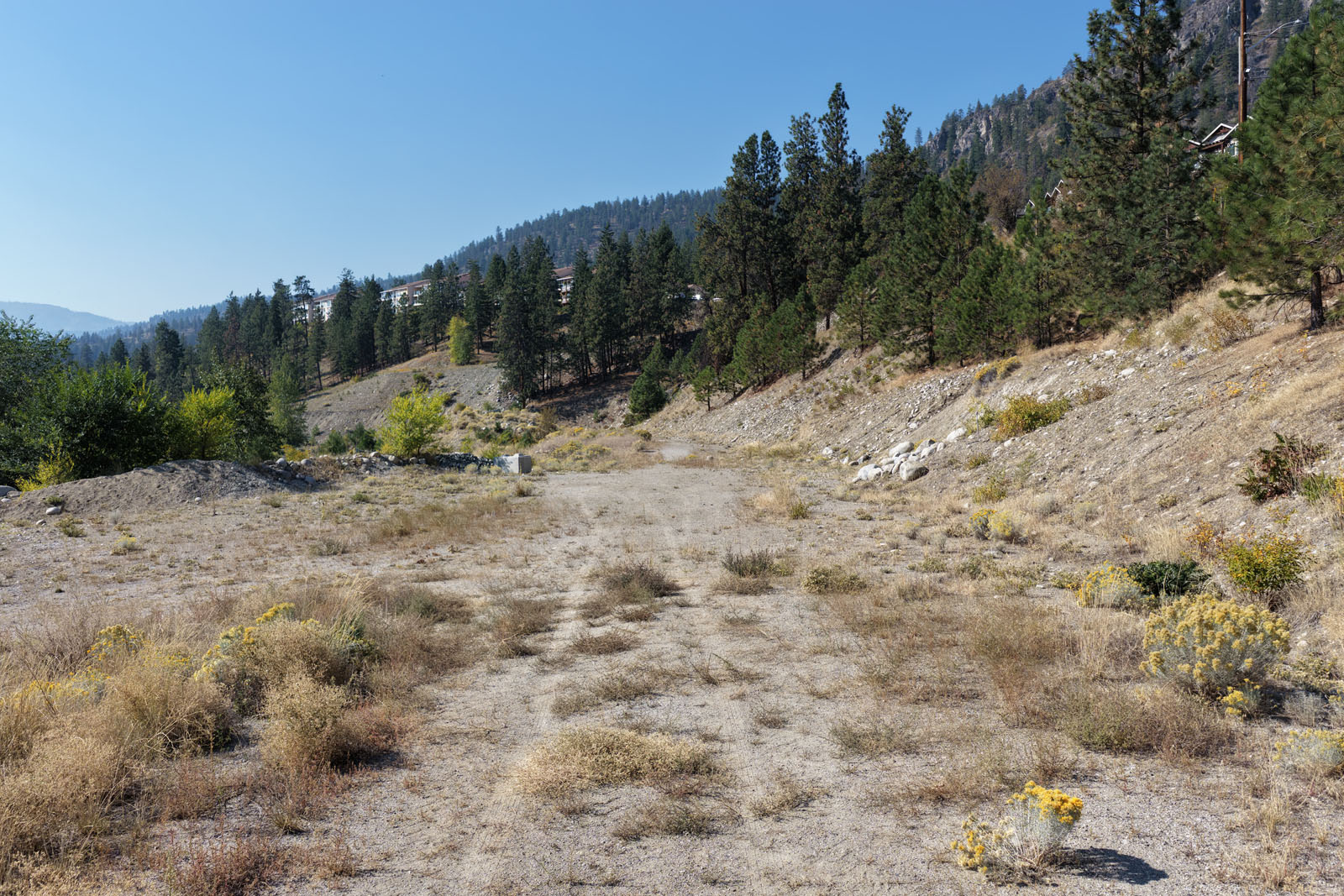
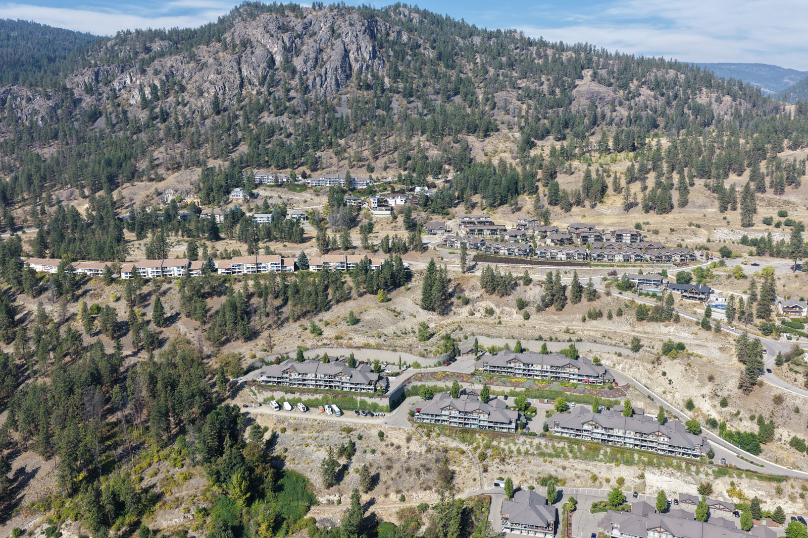
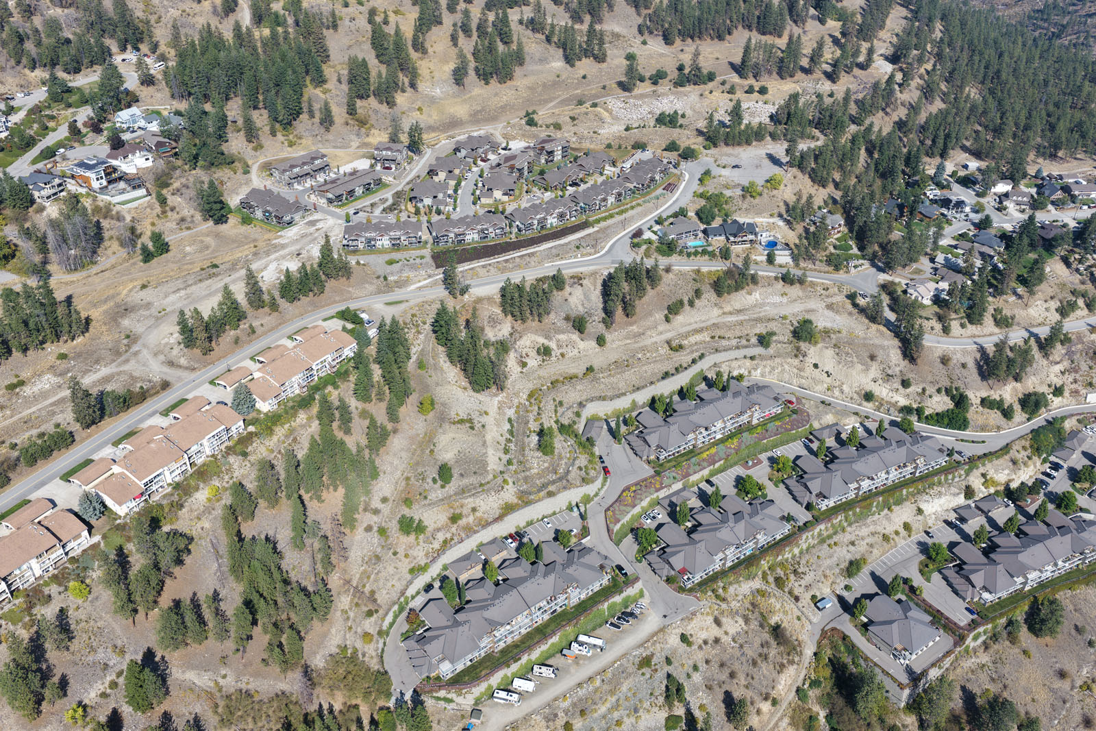
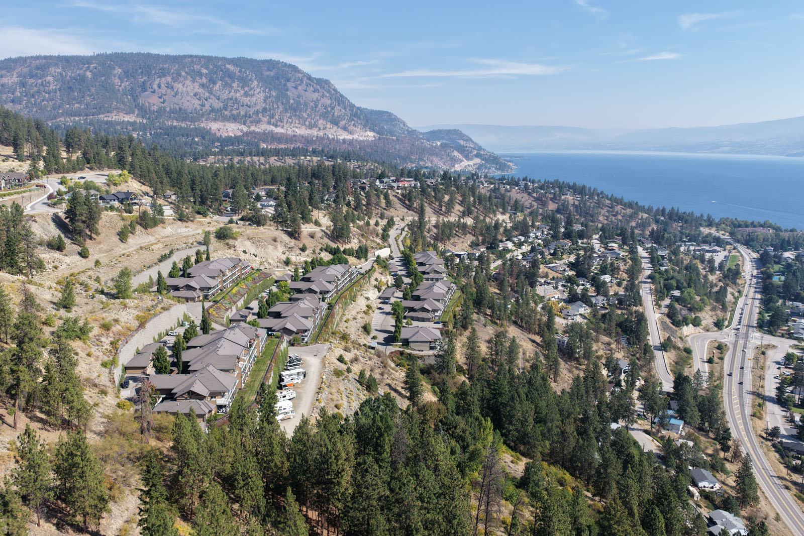
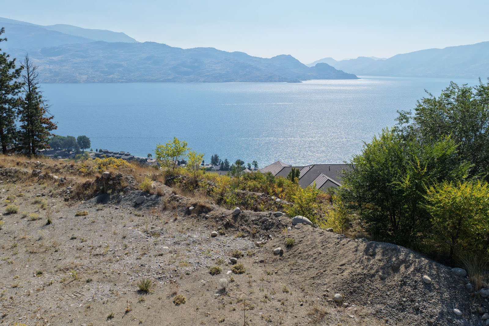
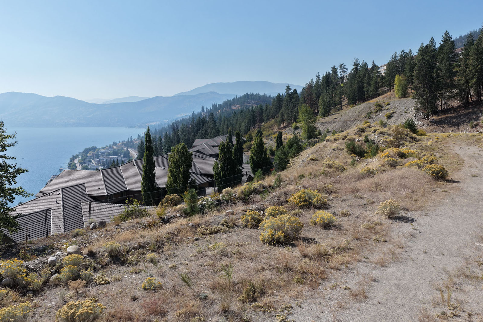
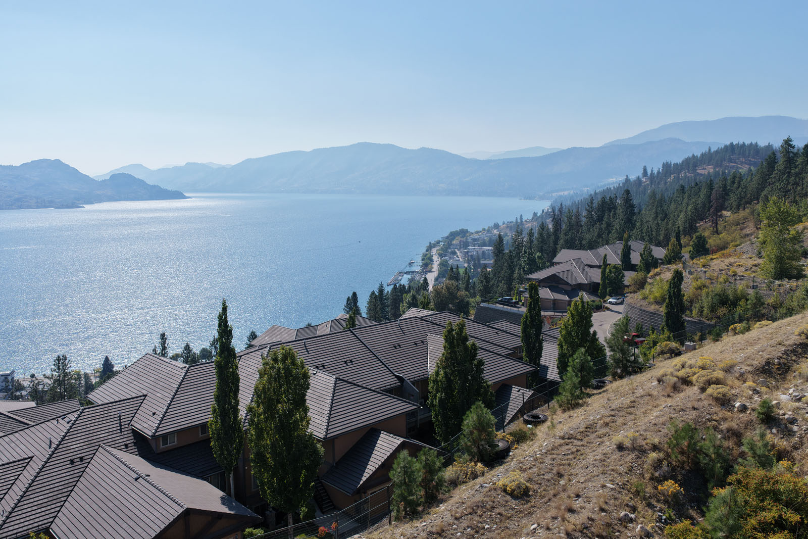
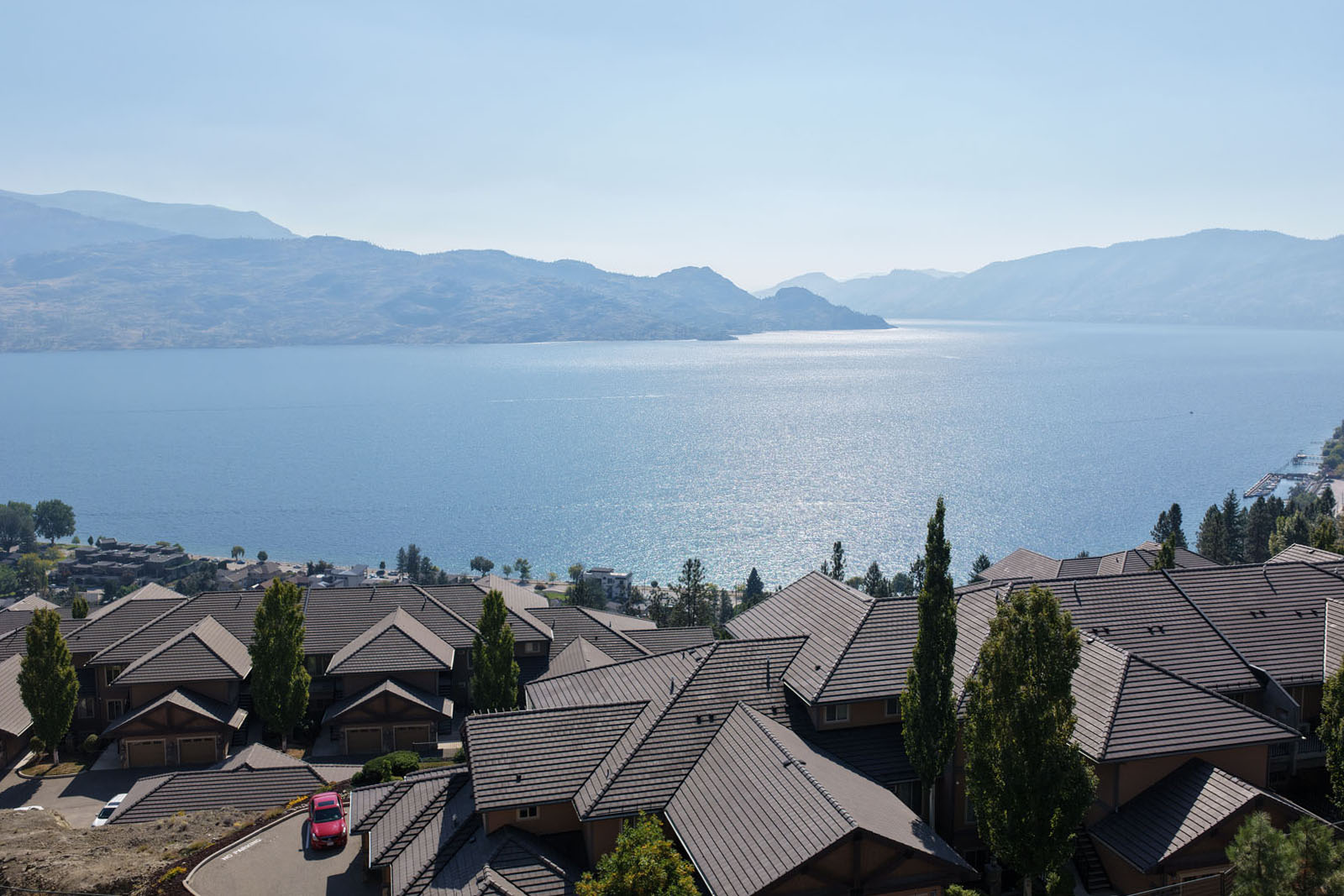
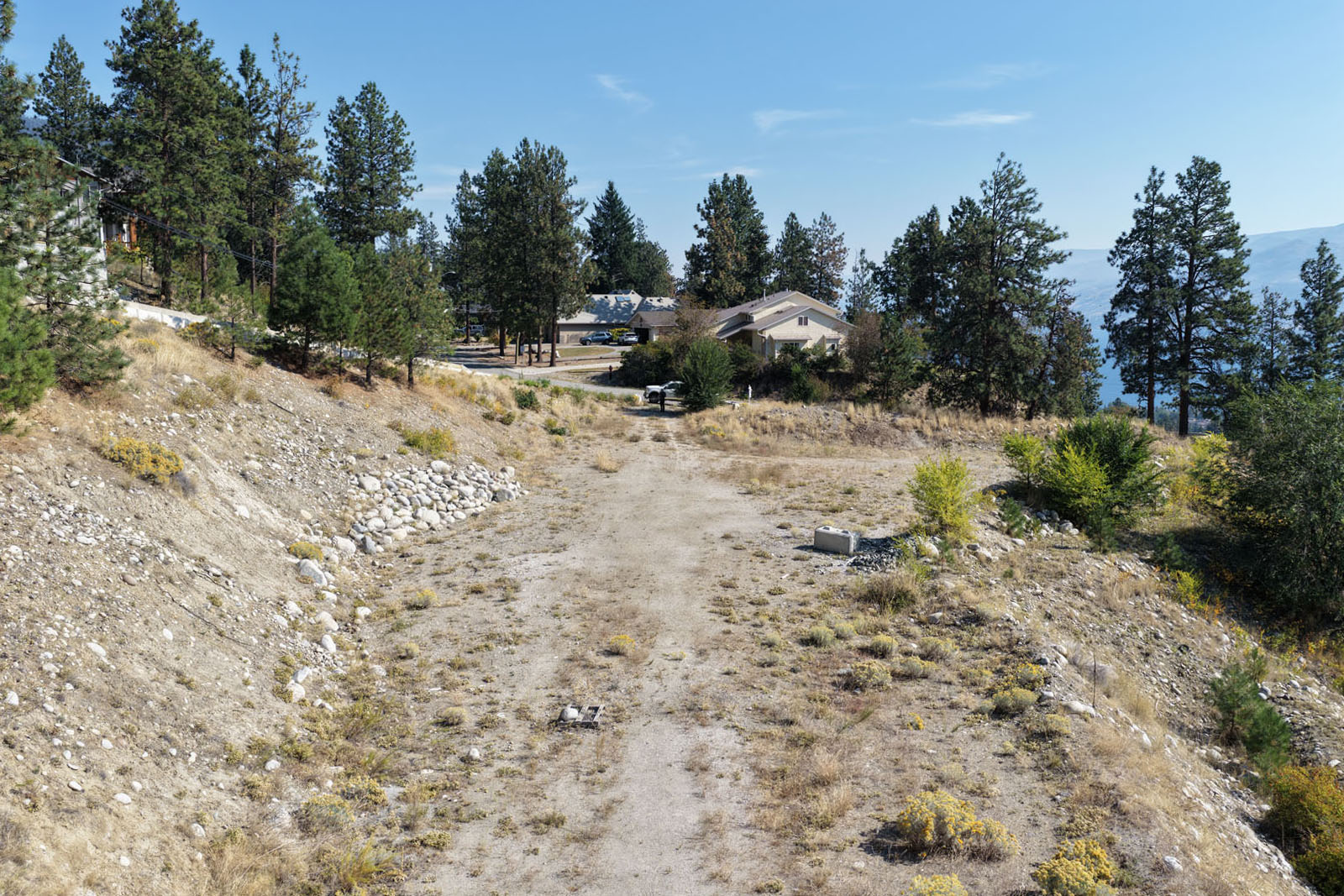
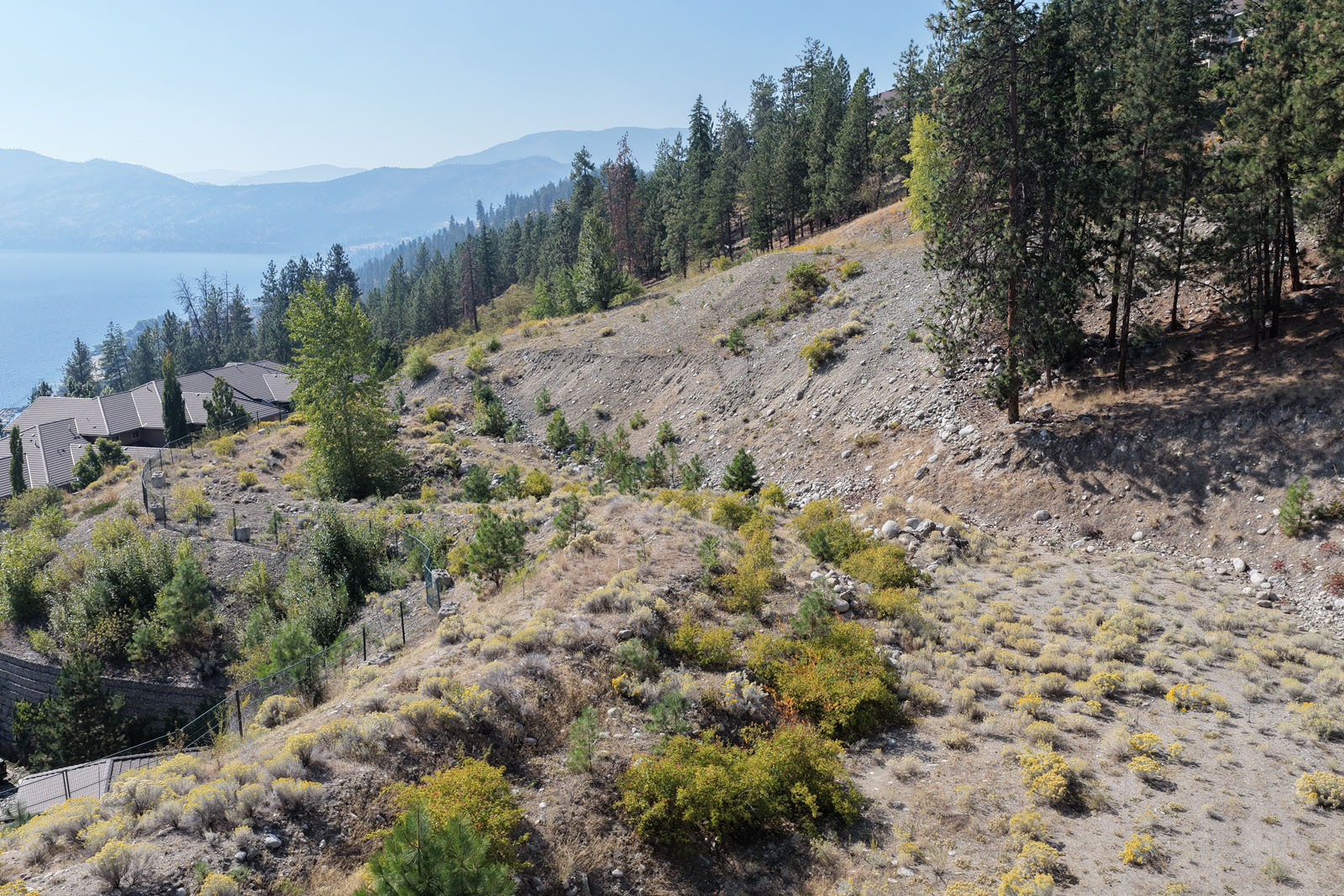
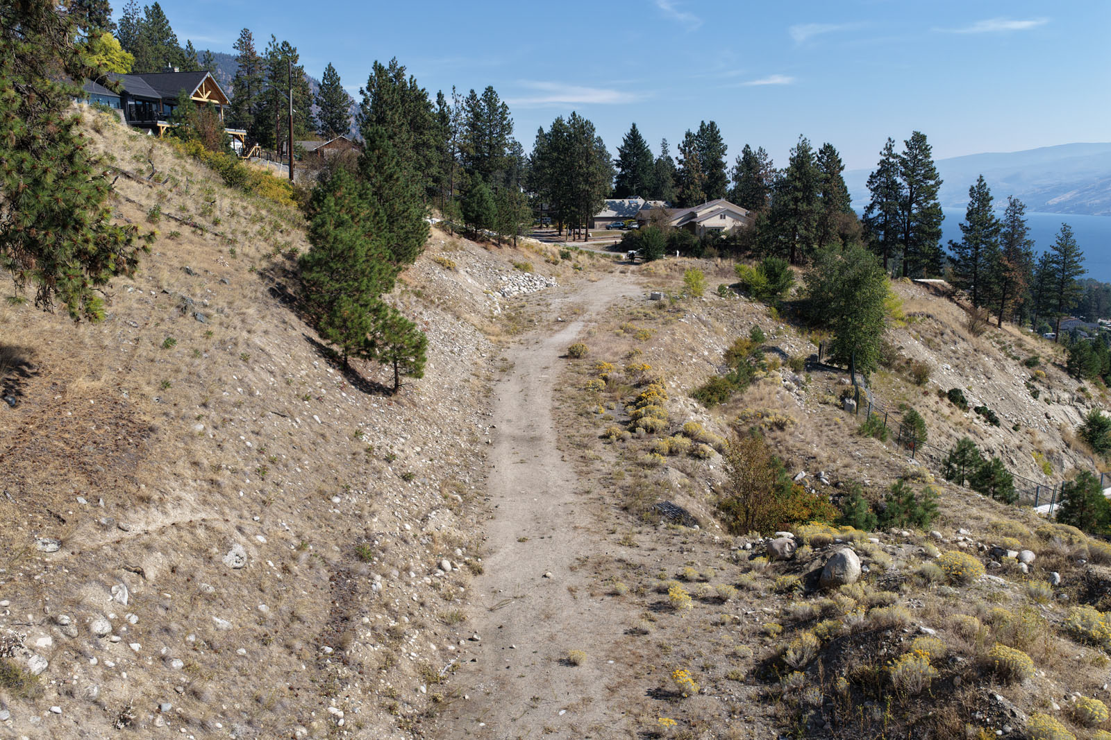
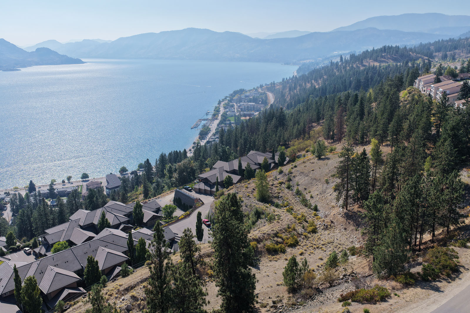
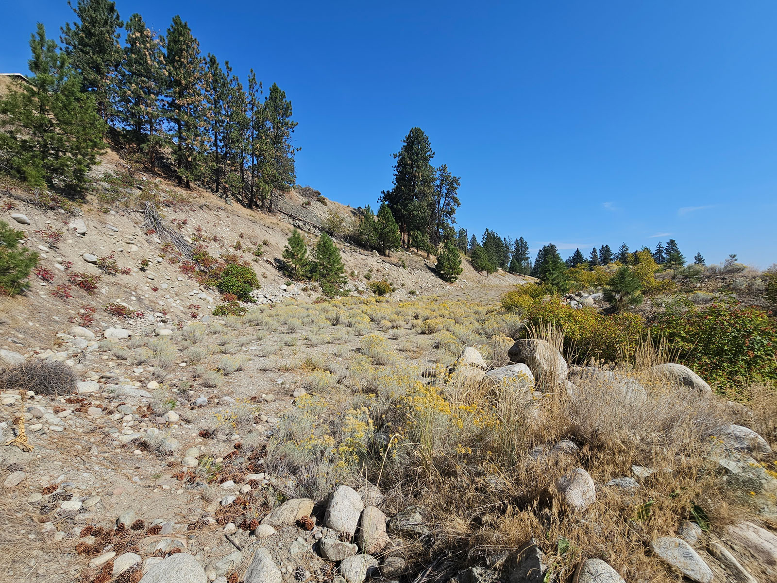
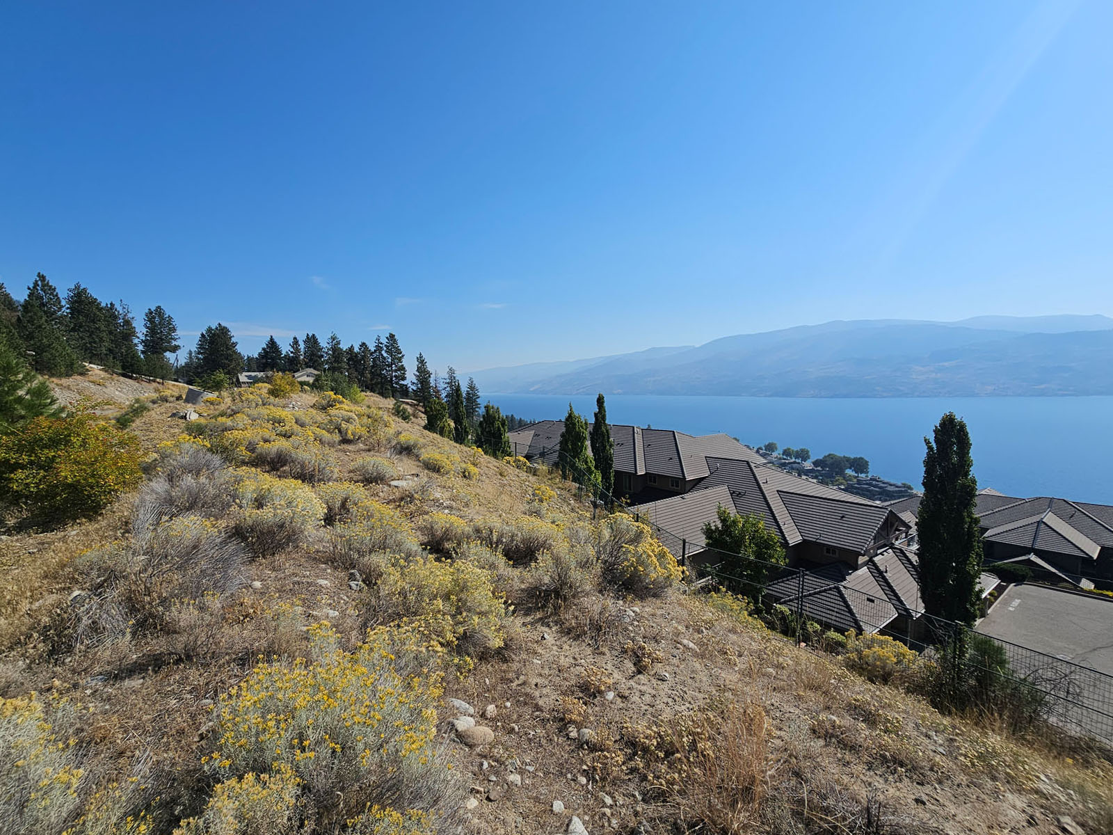
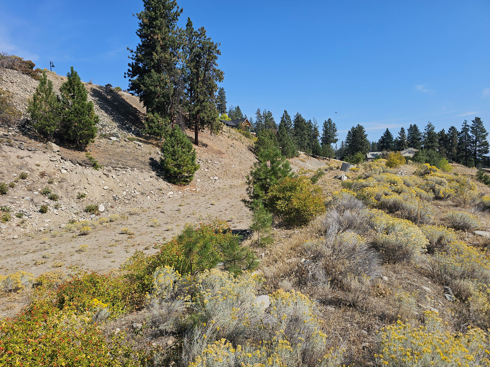
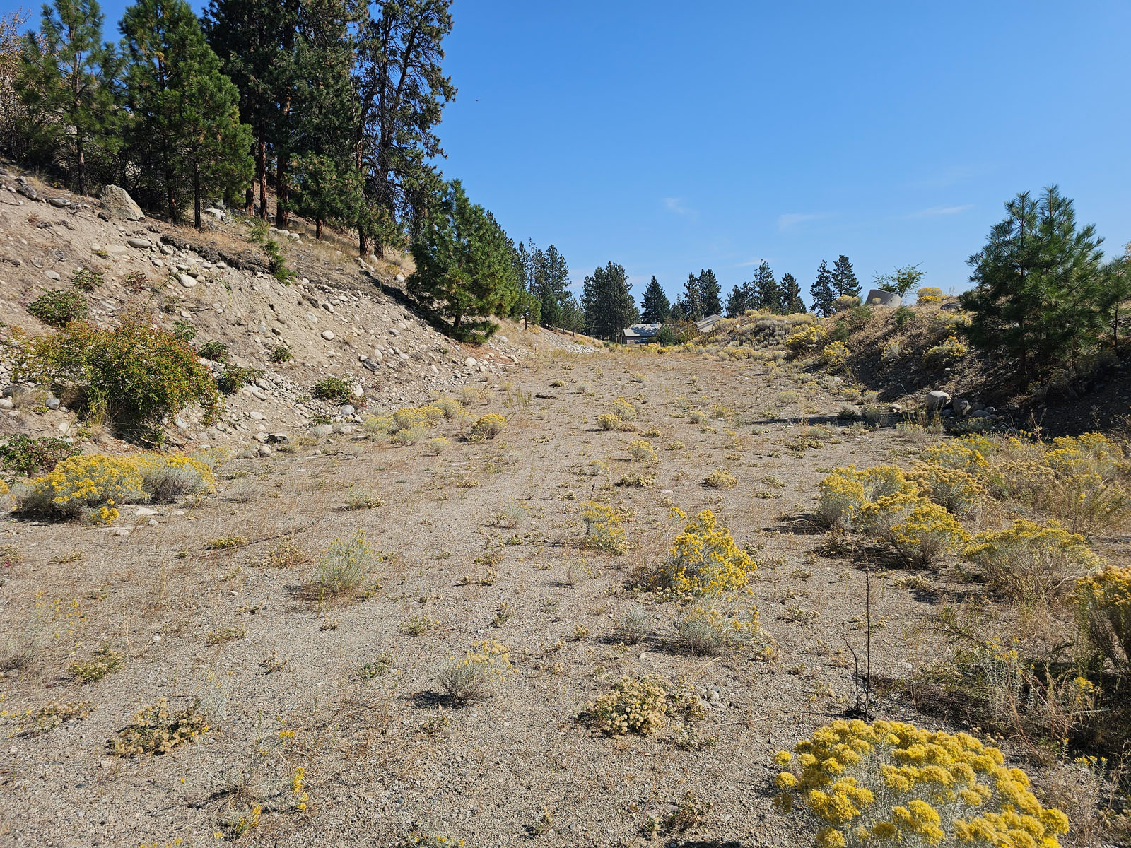
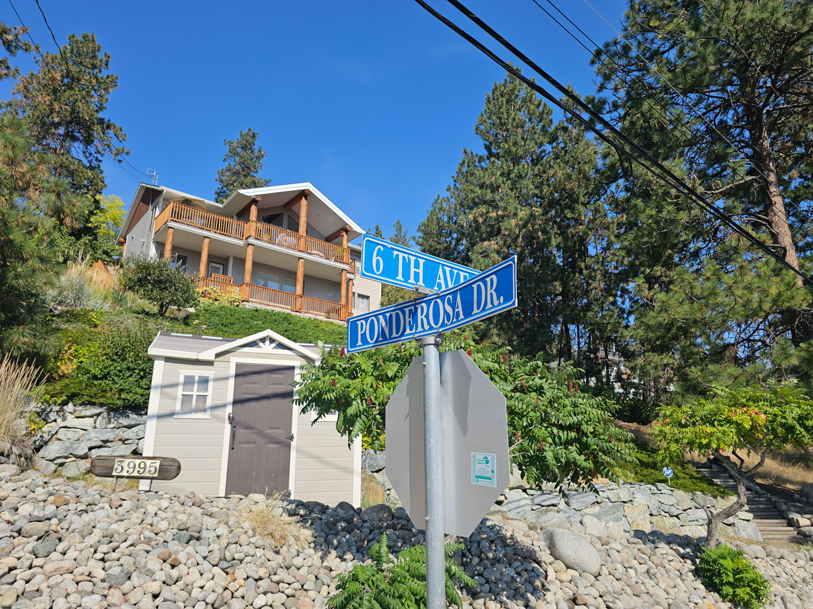
Stunning 5.14 acres located in Peachland, with the Development concept subject to District of Peachland approval. Current zoning is RM3 - Residential Medium Density. All utilities close or adjacent to the property including sewer. Very close to the new proposed 9-hole golf course at Ponderosa (proposed opening Fall 2026). Located above Eagle's View townhome development, the original plan was 3 buildings 3 stories, 16 units per building (48 units). New planned road between Ponderosa Drive over to Victoria Road per the Ponderosa development plan with the district of Peachland will help with traffic in the area.
This property is located in a highly desirable area that is ripe for development. The area has a strong demand for luxury homes, townhomes, and view lots. Peachland has significant appeal where residents can enjoy a quieter community while commuting easily to Kelowna for work or amenities. Demographic data tells us that demand for Peachland homes is likely to continue to grow significantly in the coming years. Peachland has an aging but affluent population, many of whom are downsizing or seeking maintenance-free housing. There’s also a growing interest from young families and remote workers seeking affordability compared to Kelowna or Penticton. The municipality is encouraging responsible growth that supports its Official Community Plan (OCP) goals—particularly around the downtown waterfront and hillside areas.
Call listing agent for details.
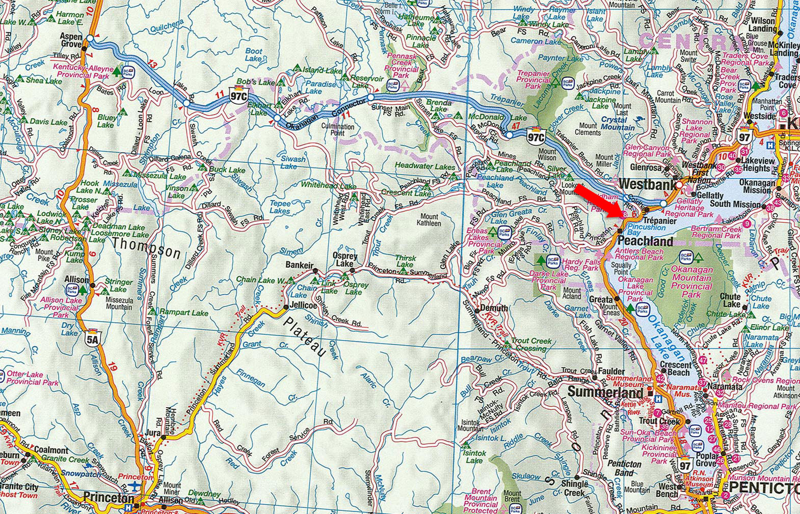
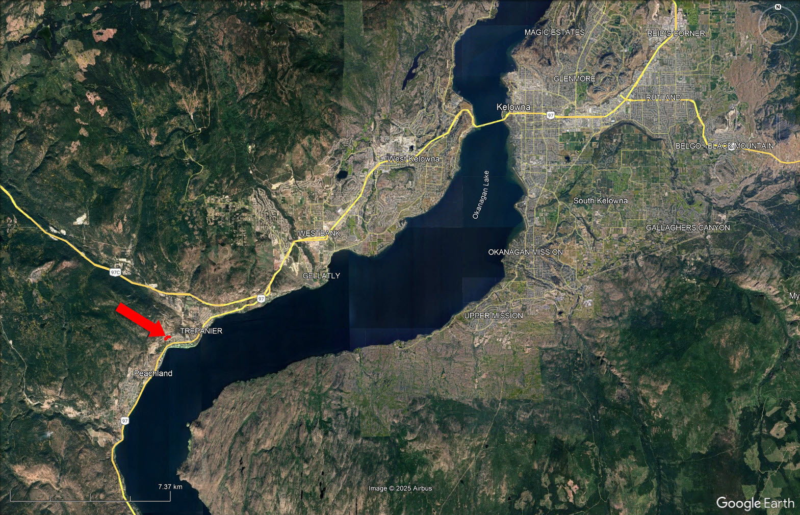
Lot 1 Ponderosa Drive - Peachland, BC
Peachland has a small-town, lakefront feel: walkable waterfront amenities, seasonal tourism activity, and a community that mixes long-term retirees, families and seasonal visitors. Locals often point to the waterfront pathway, community events and the slower pace compared with larger Okanagan centres as key features. The town is actively managing growth and downtown revitalization while keeping a lakeside, recreational character.
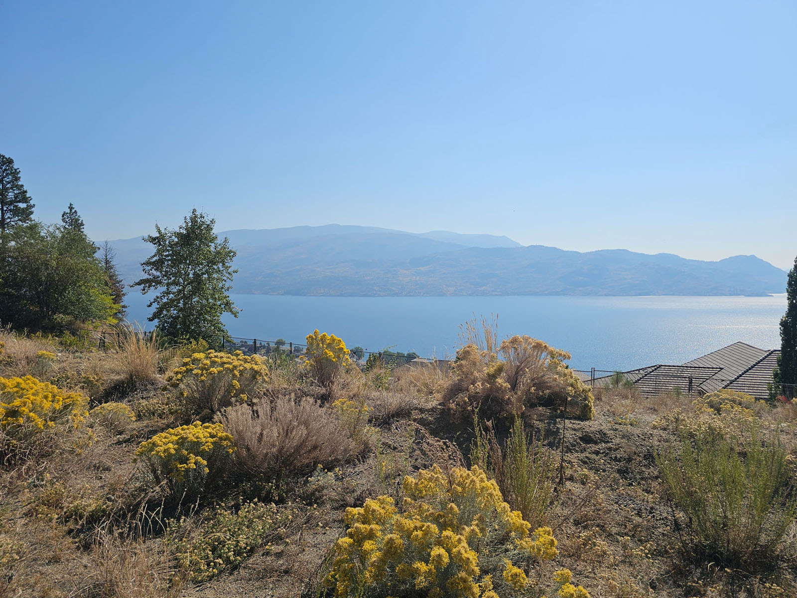
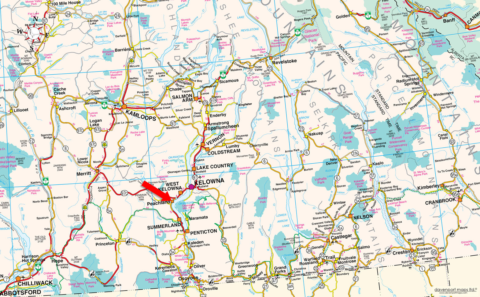
Peachland sits on the west shore of Okanagan Lake in the Thompson–Okanagan region of British Columbia, about 25 km south of Kelowna and 45 km north of Penticton.
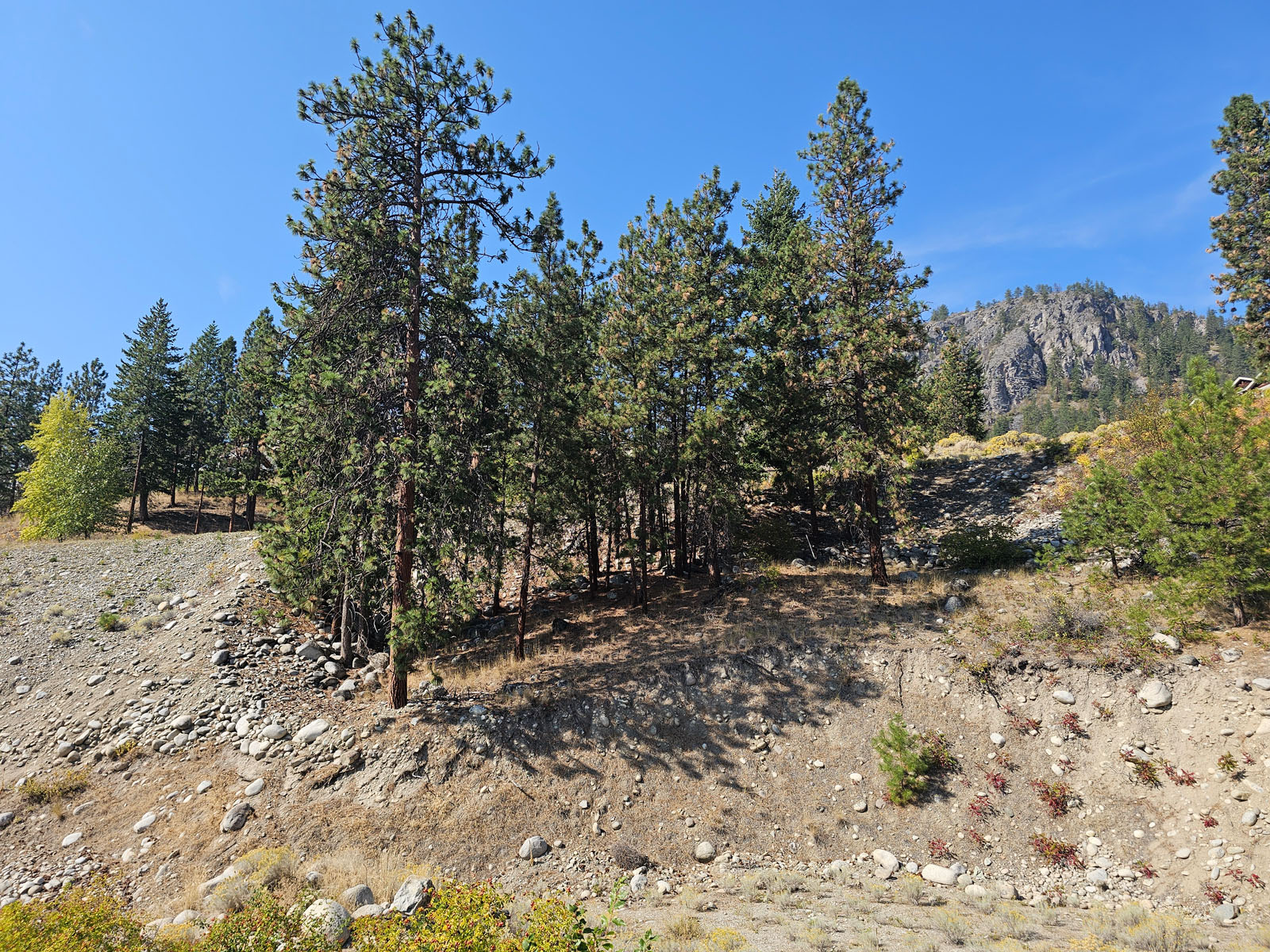
Peachland sits in the dry-warm interior Okanagan zone. Natural vegetation around the lakeshore and lower slopes includes grasses, sagebrush, and patches of ponderosa pine and mixed dry forest; riparian strips along creeks support willow and other moisture-loving plants. Because the valley is relatively arid, sensitive riparian and grassland ecosystems are important for local biodiversity and are a focus of regional conservation work.
Peachland offers a wide range of recreation options that take full advantage of its location along Okanagan Lake and its surrounding hillsides.
Trails, waterfalls and early-season winery visits become popular as temperatures warm; nearby short hikes (for example Forest Hill Drive trails and Hardy Falls a short drive away) and lakeside walks start to fill up.
Peak season on Okanagan Lake: swimming, kayaking, paddleboarding, boating, fishing and long walks along the Beach Avenue/Centennial Way waterfront trail and piers. Public beaches and the Ray Kandola Heritage Pier are focal points for visitors and residents. Nearby provincial campgrounds at Okanagan Lake Park offer camping and boat access.
Cooler weather brings quieter trails, biking on paved routes, and harvest-season activities at local fruit farms and nearby wineries (West Kelowna, Summerland and Naramata corridors are easy drives).
Milder lowland winters mean many lakeside paths remain usable; snow sports are a short drive up-valley to ski areas around Kelowna and the Monashee/Coast Mountain access routes. All-season options include birdwatching at small local sanctuaries and community events.
Peachland grew from early settler and ranching activity in the late 19th century. The name “Peachland” was given in 1898 after a land developer reportedly tasted particularly good peaches grown locally. Over time the local economy shifted away from early resource uses toward orcharding, tourism and lakefront services; many of the town’s historic buildings now serve as community or visitor spaces.
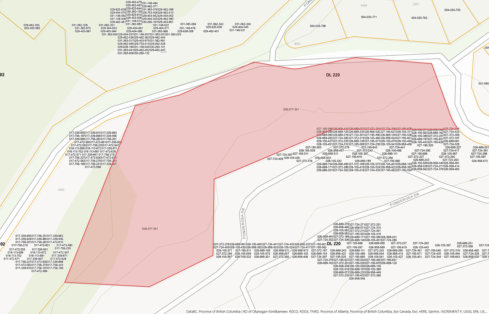
Please see the mapping section, all boundaries are approximate.
49°47'10.57"N and 119°43'49.33"W
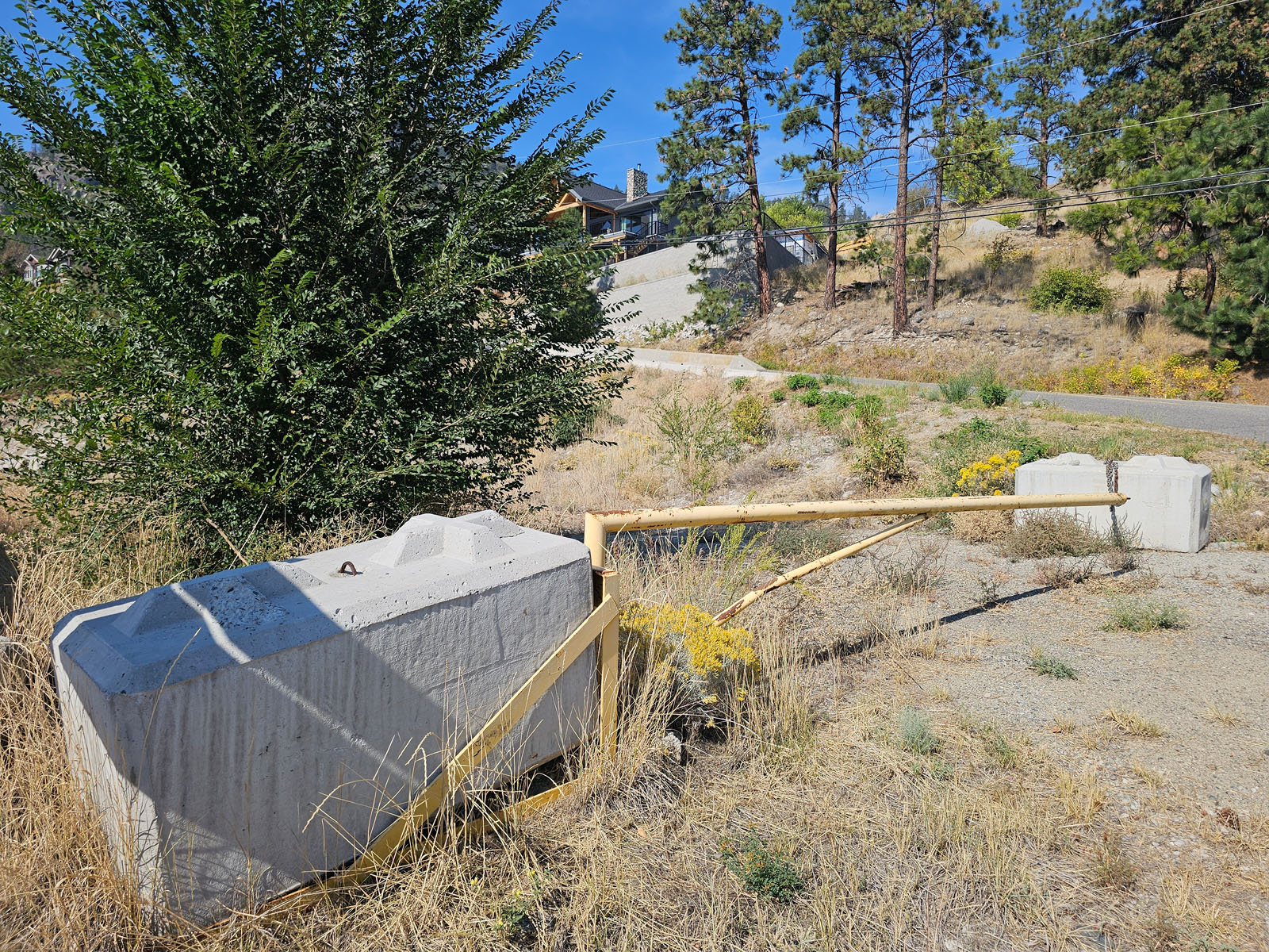
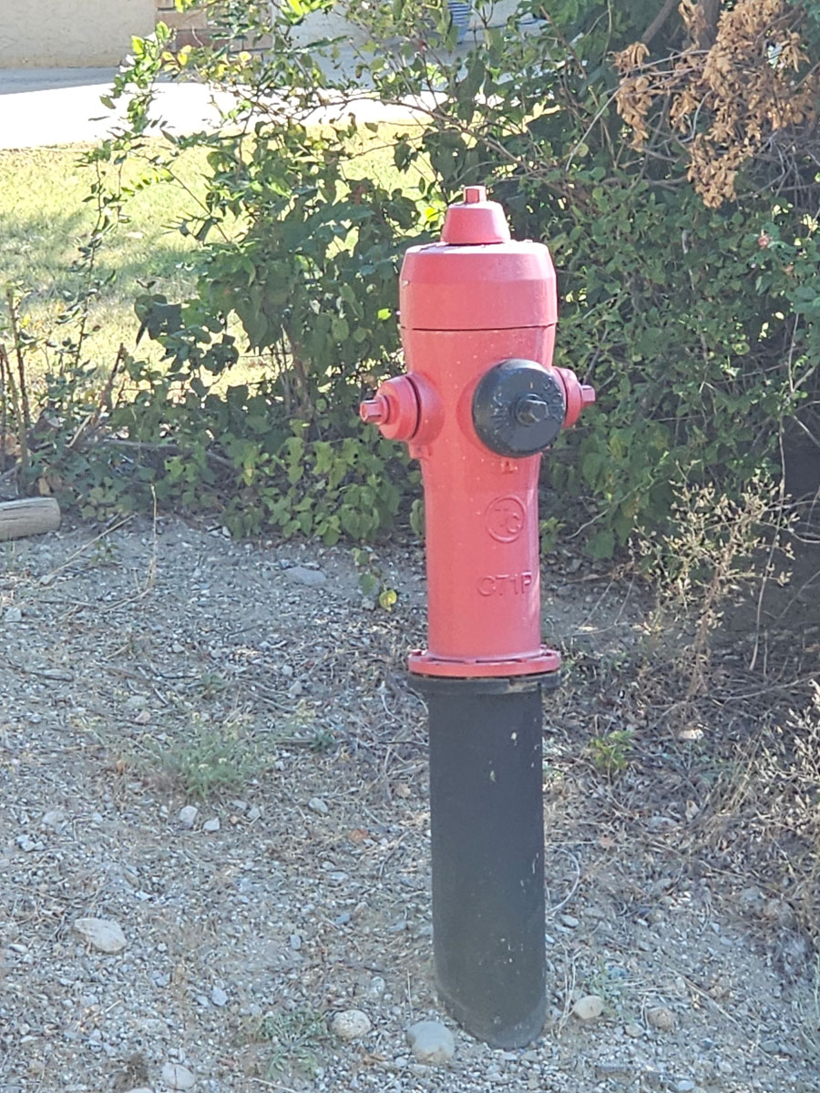
All services are either at the lot line or across the road.
$7,627.09 (2025)
RM3
LOT 1 DISTRICT LOT 220 AND 902 OSOYOOS DIVISION YALE DISTRICT PLAN KAP89990
PID 028-077-351
 +8 maps
Our property descriptions and geographical information are taken from the BC Assessment Authority, Land Titles Office, government maps and other sources. While LandQuest® does not guarantee the information, we believe it to be accurate, but should not be relied upon without verification. This communication is not intended to cause or induce breach of an existing agency agreement.
Peachland
 17℃
17℃
 23℃
23℃