


An affordable cooperative interest featuring an 864 sq. ft. two-level residence, protected deep-water moorage and a 1/18 interest in approximately 186 acres. Enjoy spectacular views and convenient access to the amenities of Refuge Cove store, restaurant and fuel dock.
Foreign Buyer Ban does not apply to this property
 +37 photos
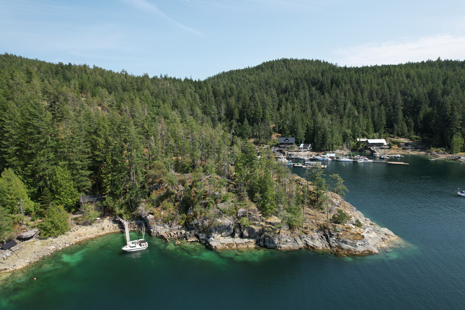
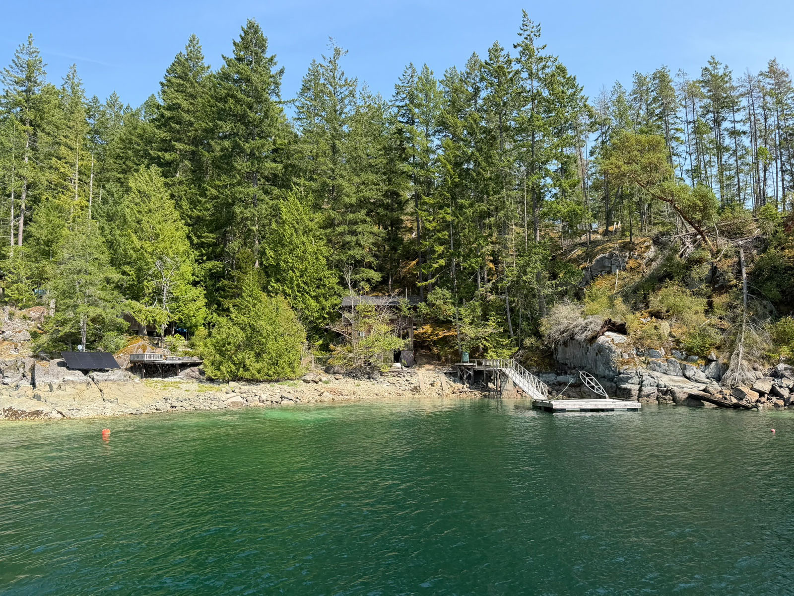
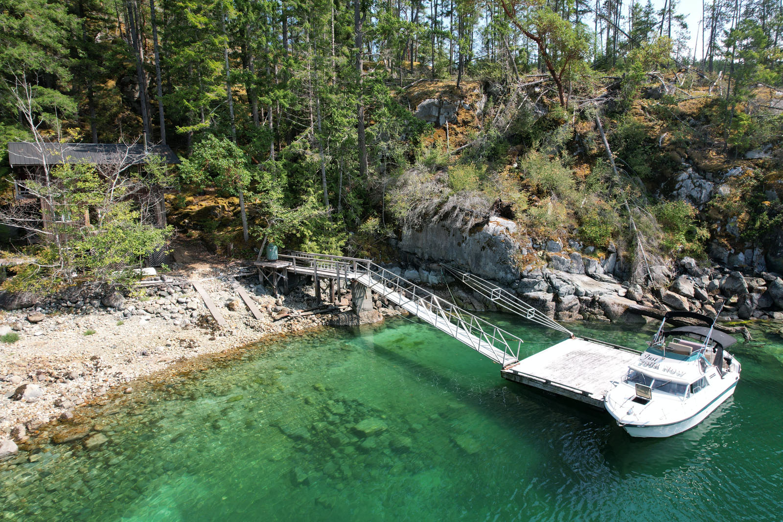
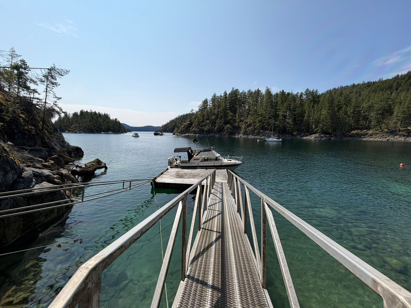
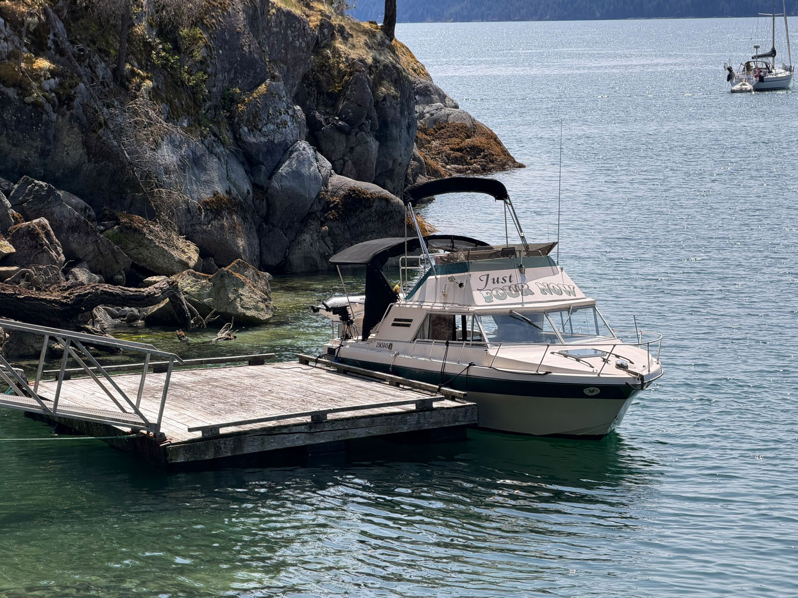
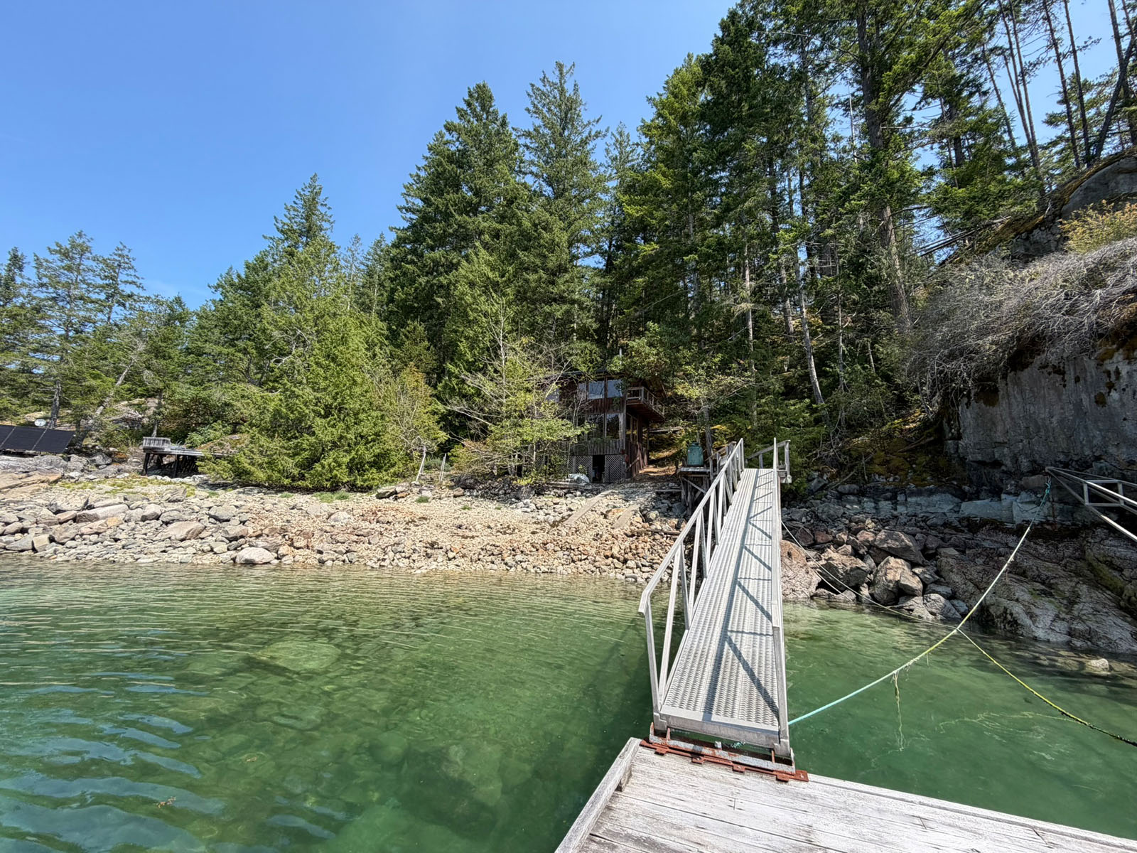
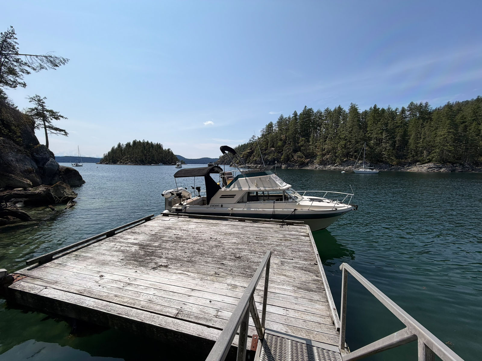
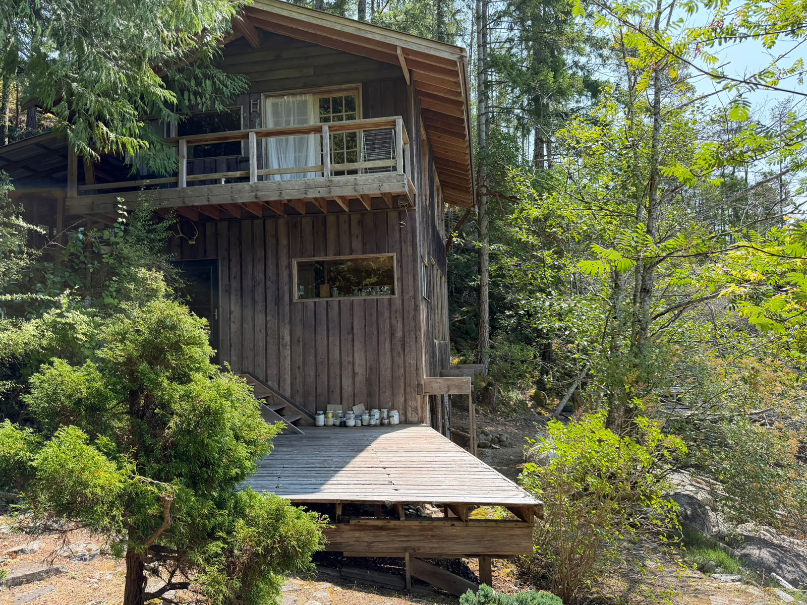
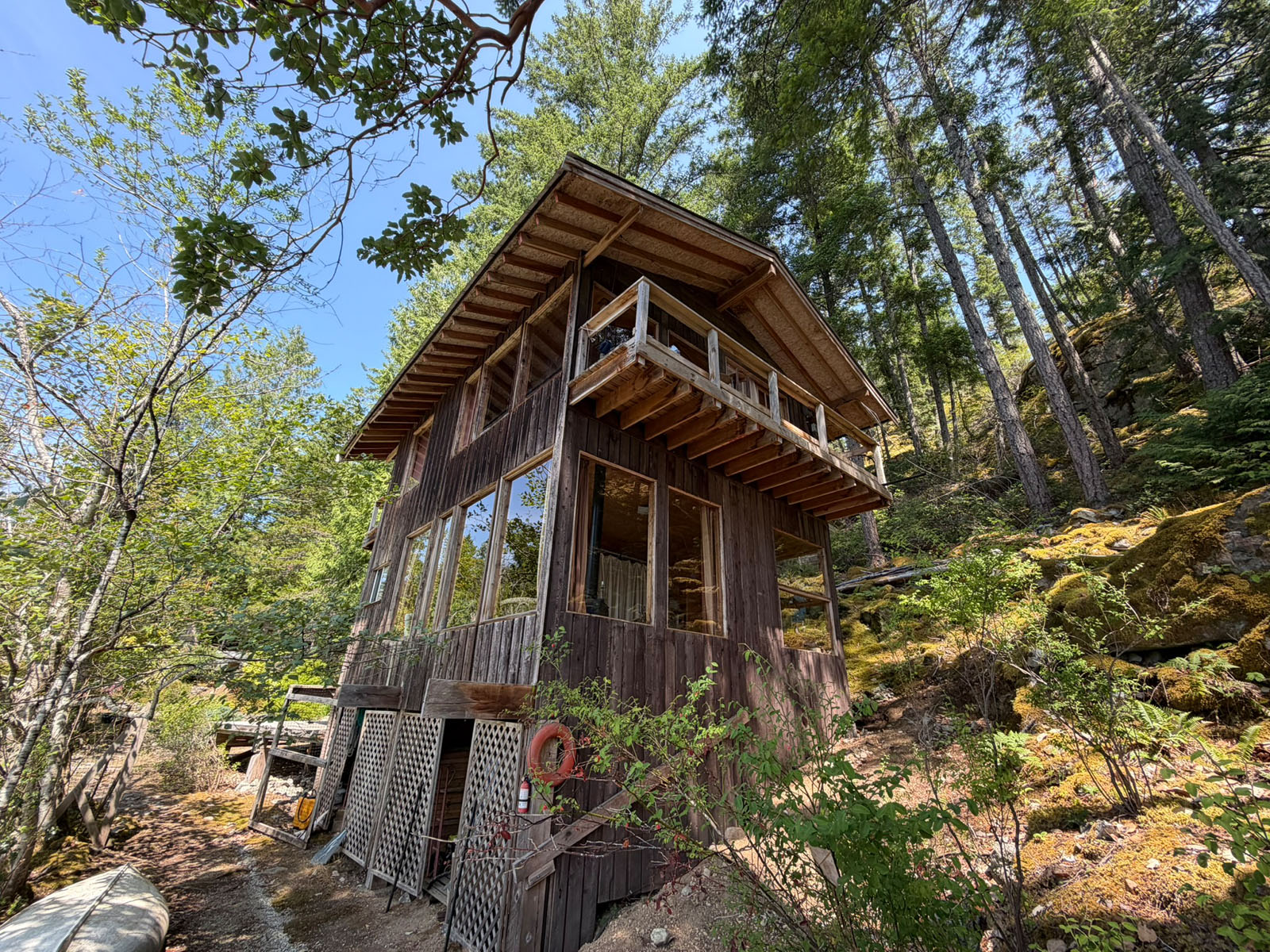
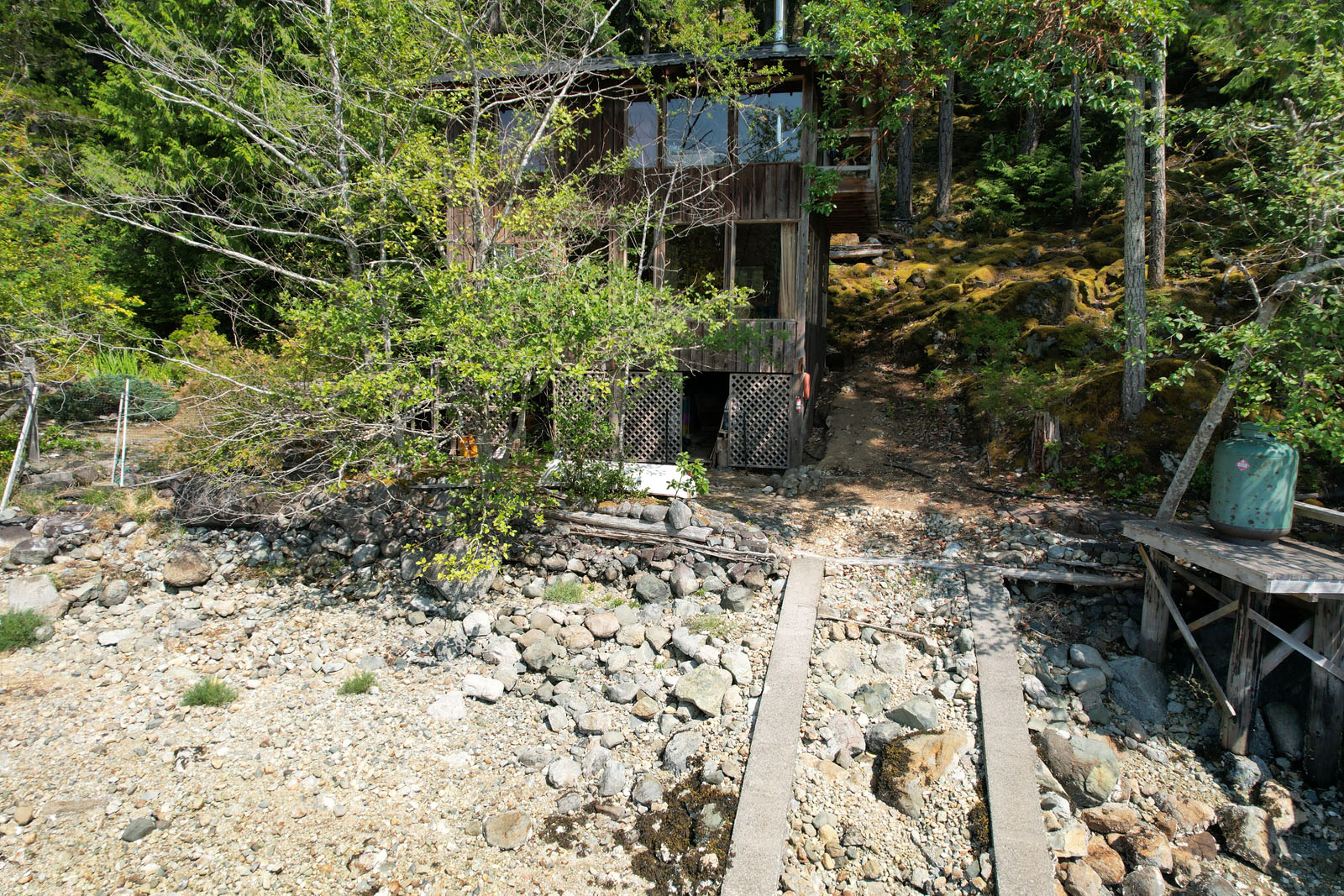
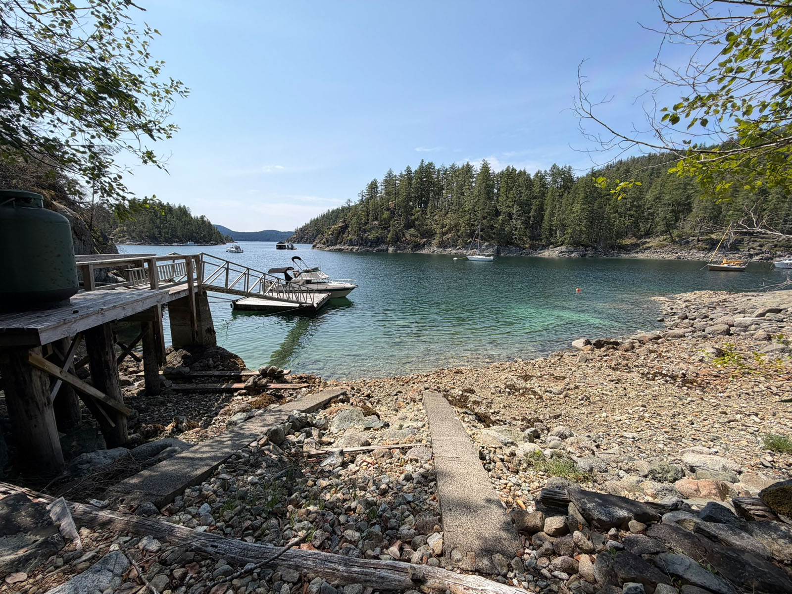
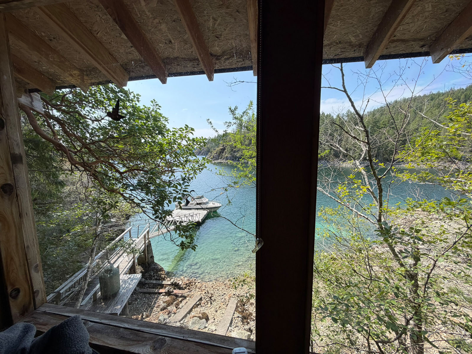
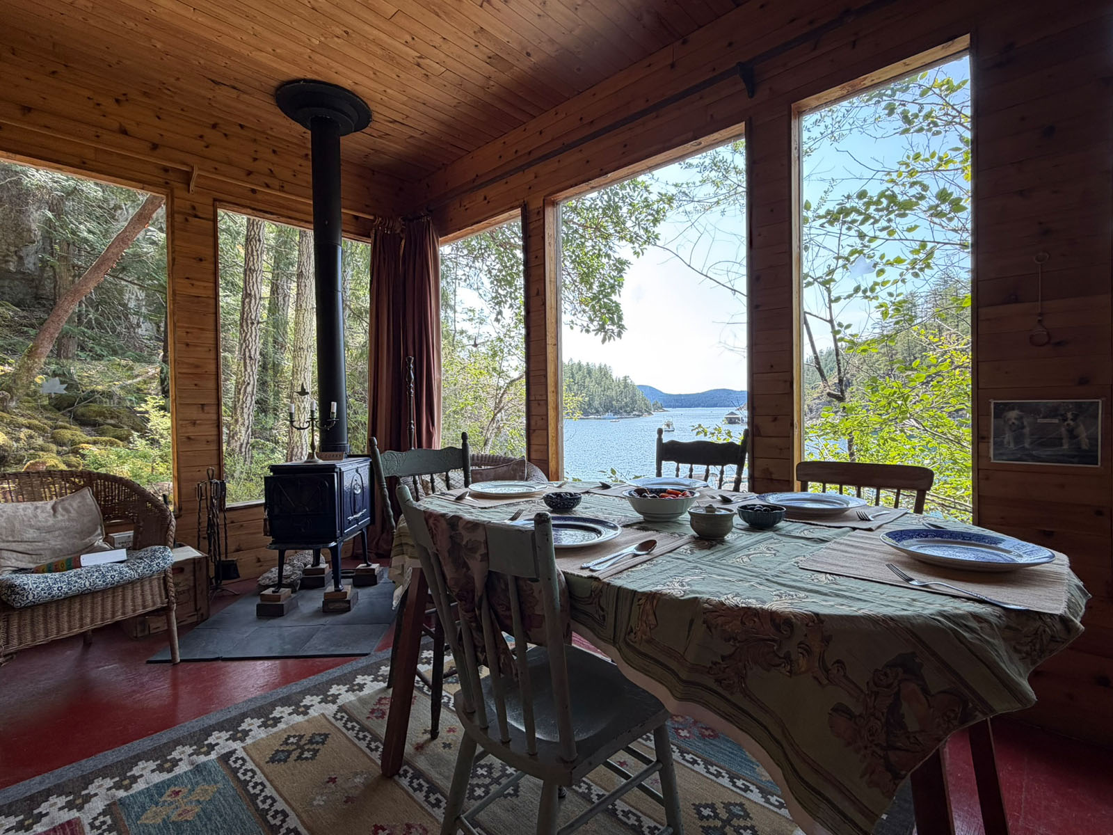
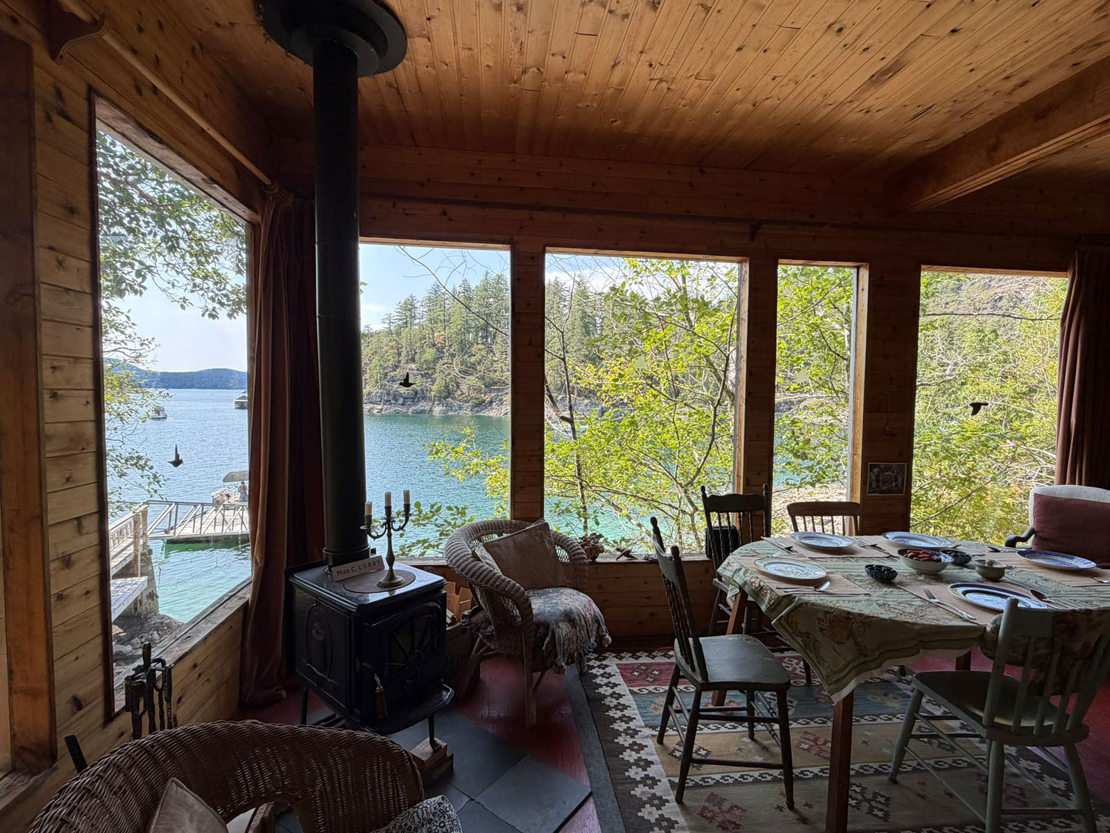
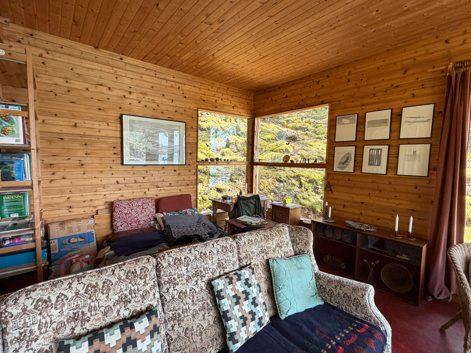
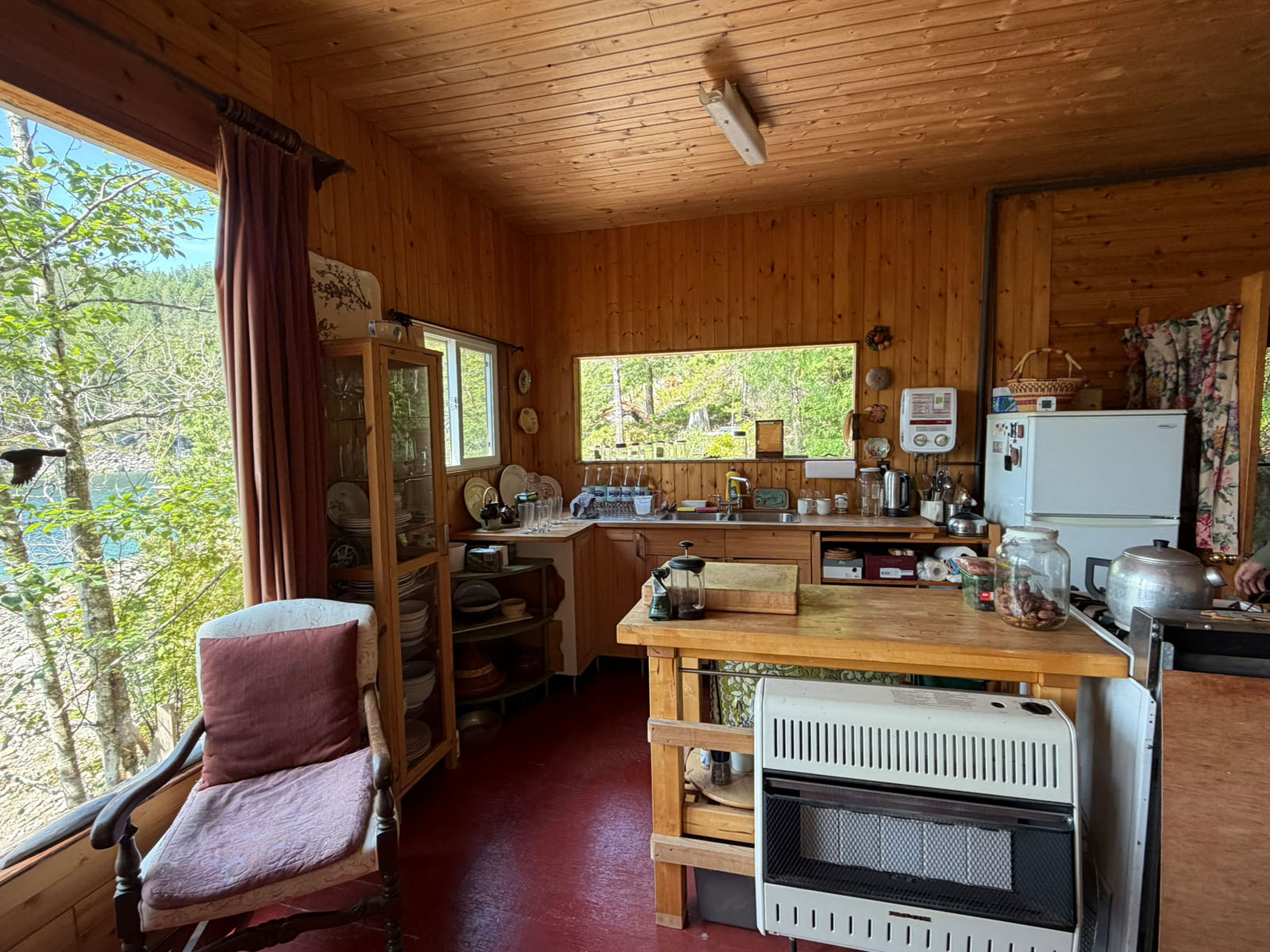
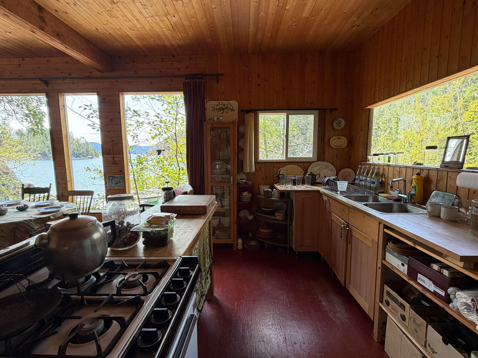
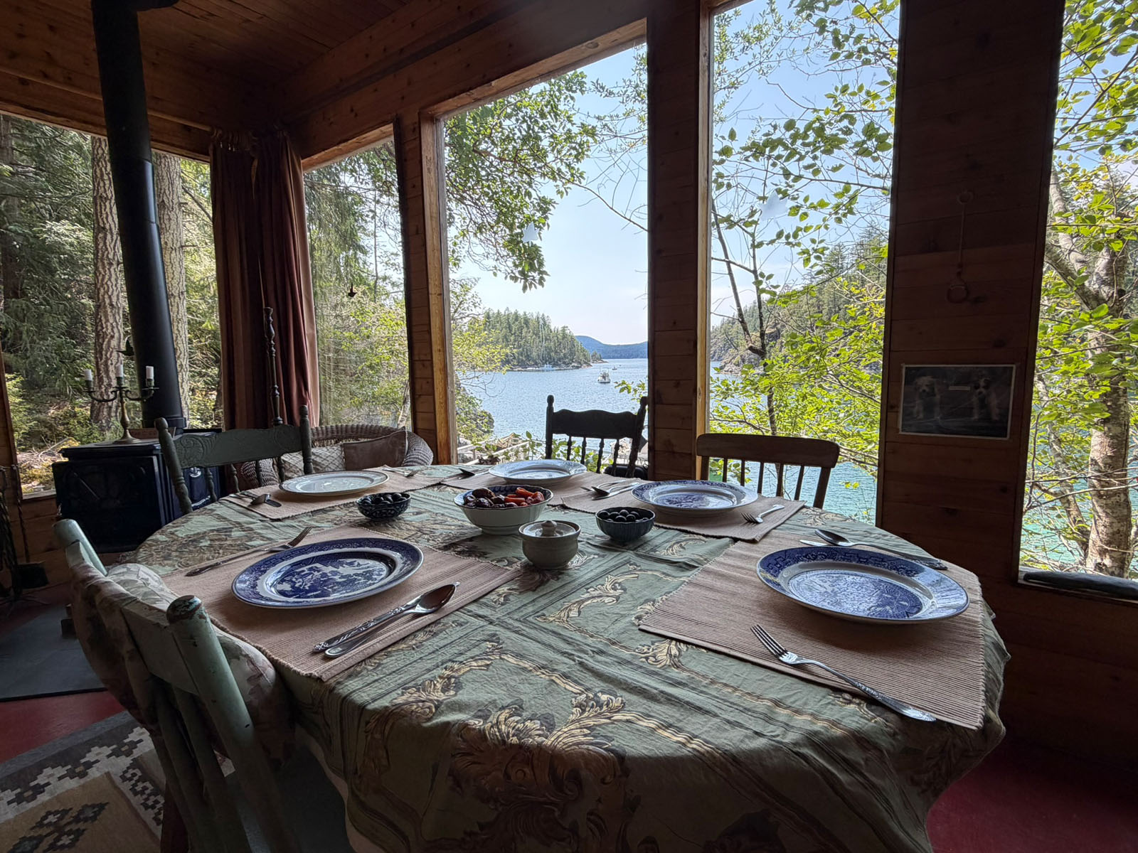
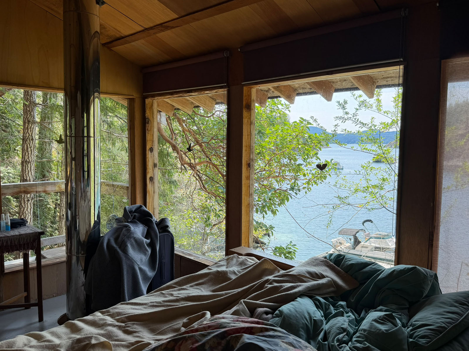
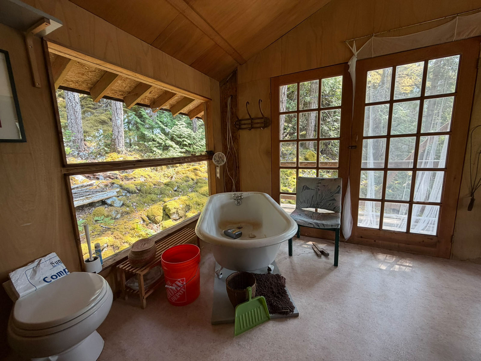
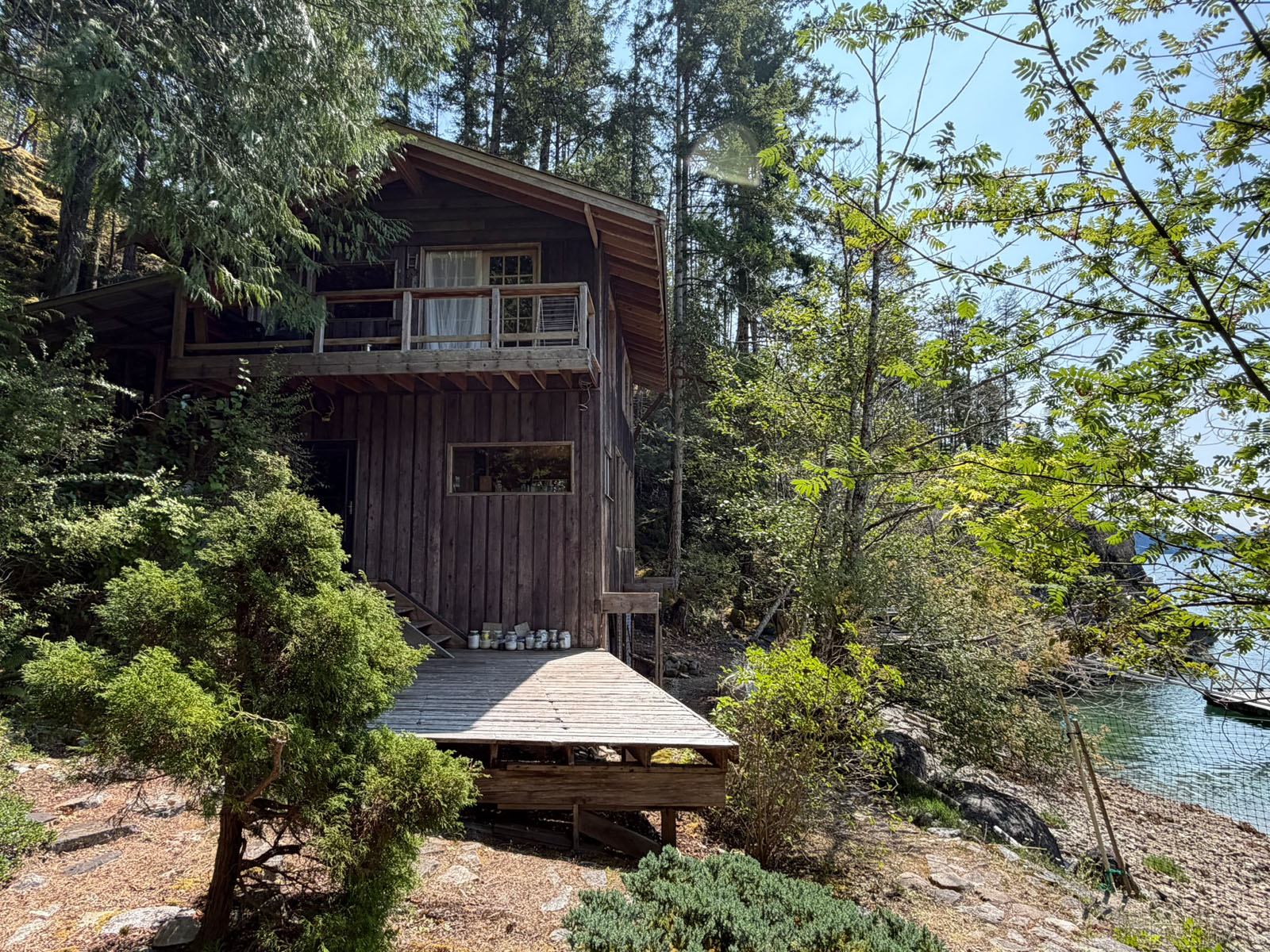
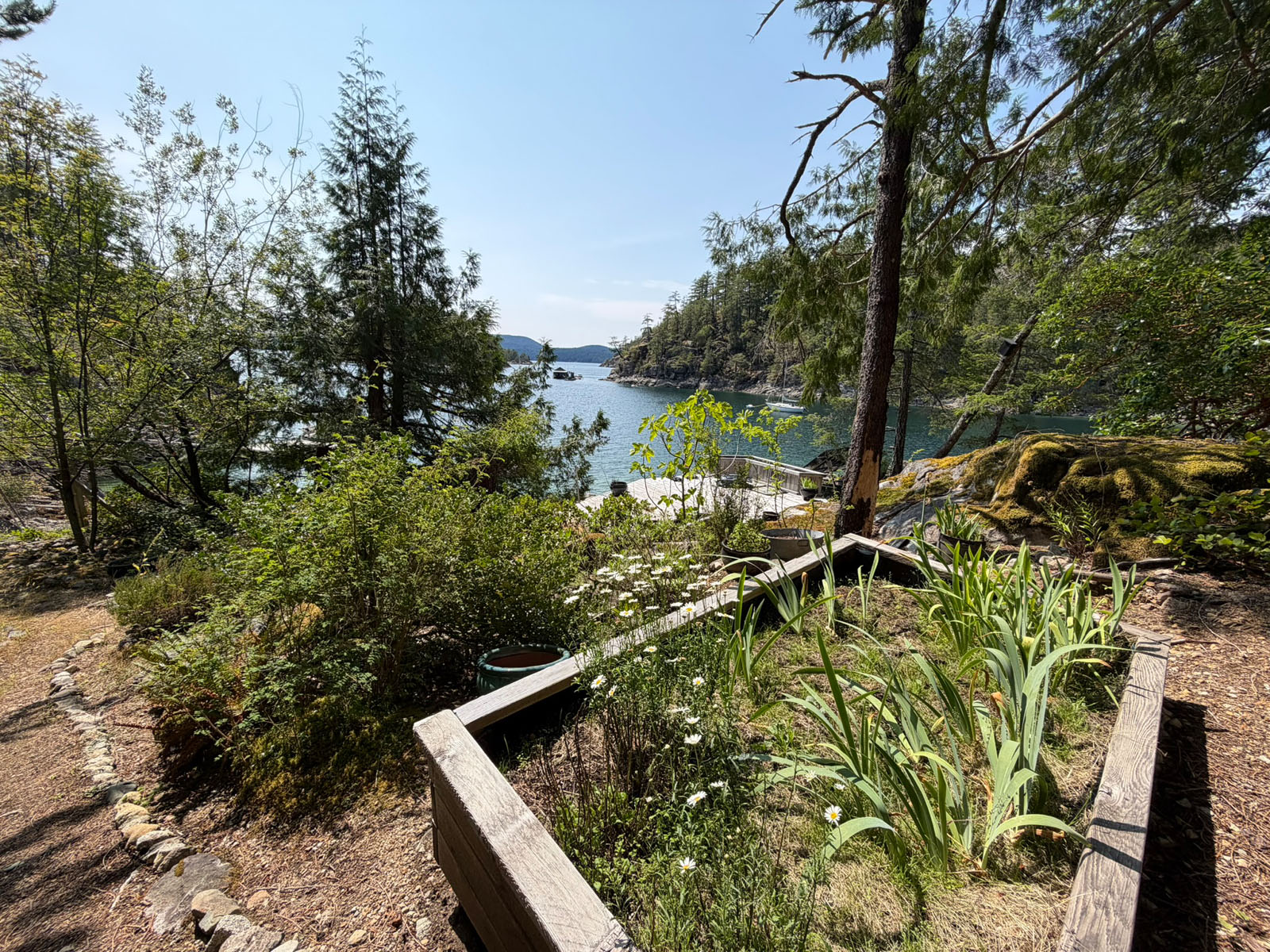
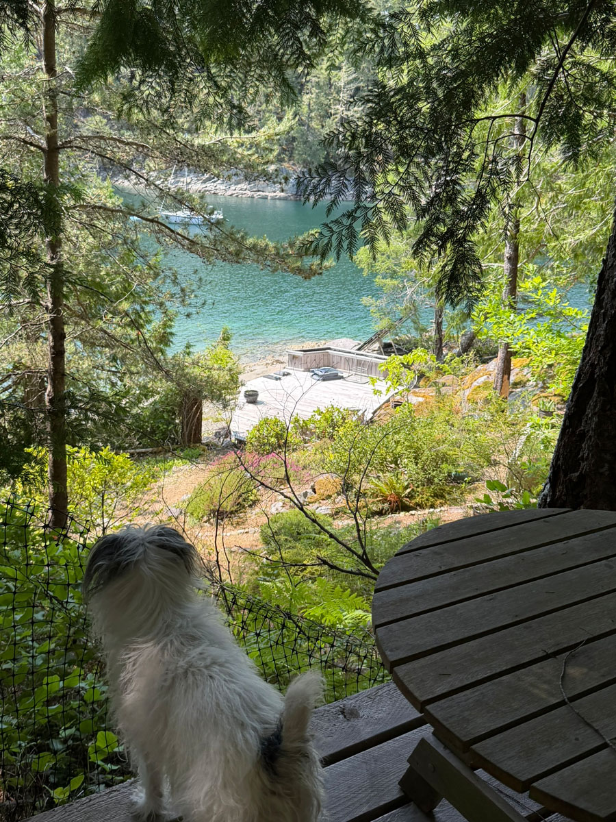
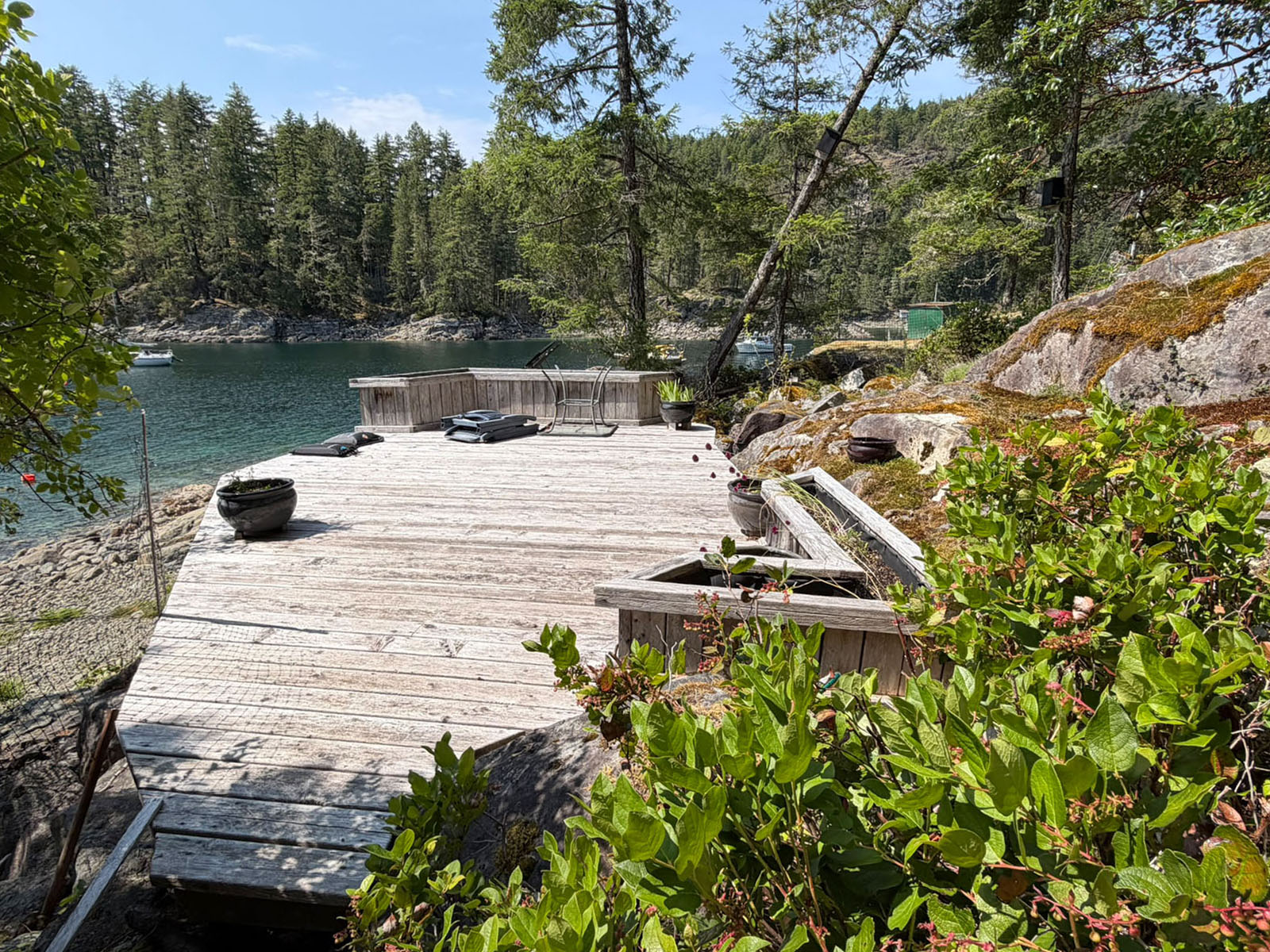
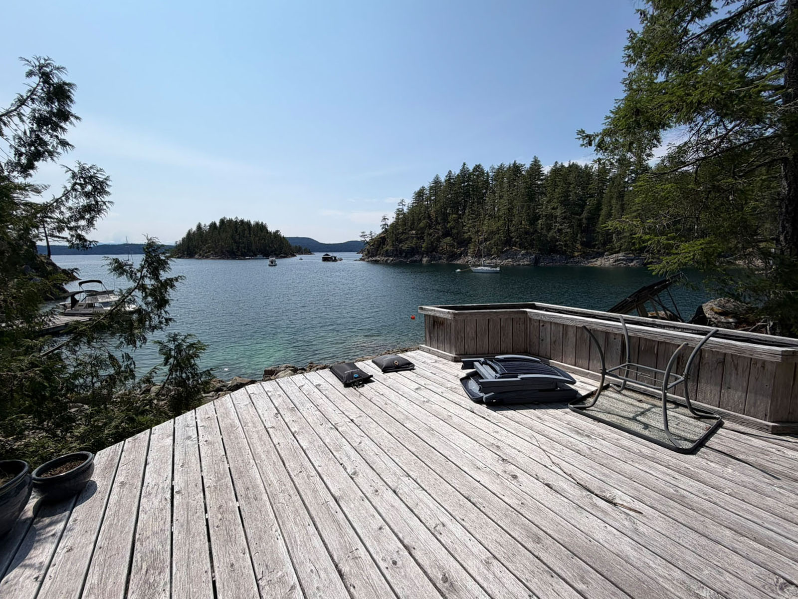
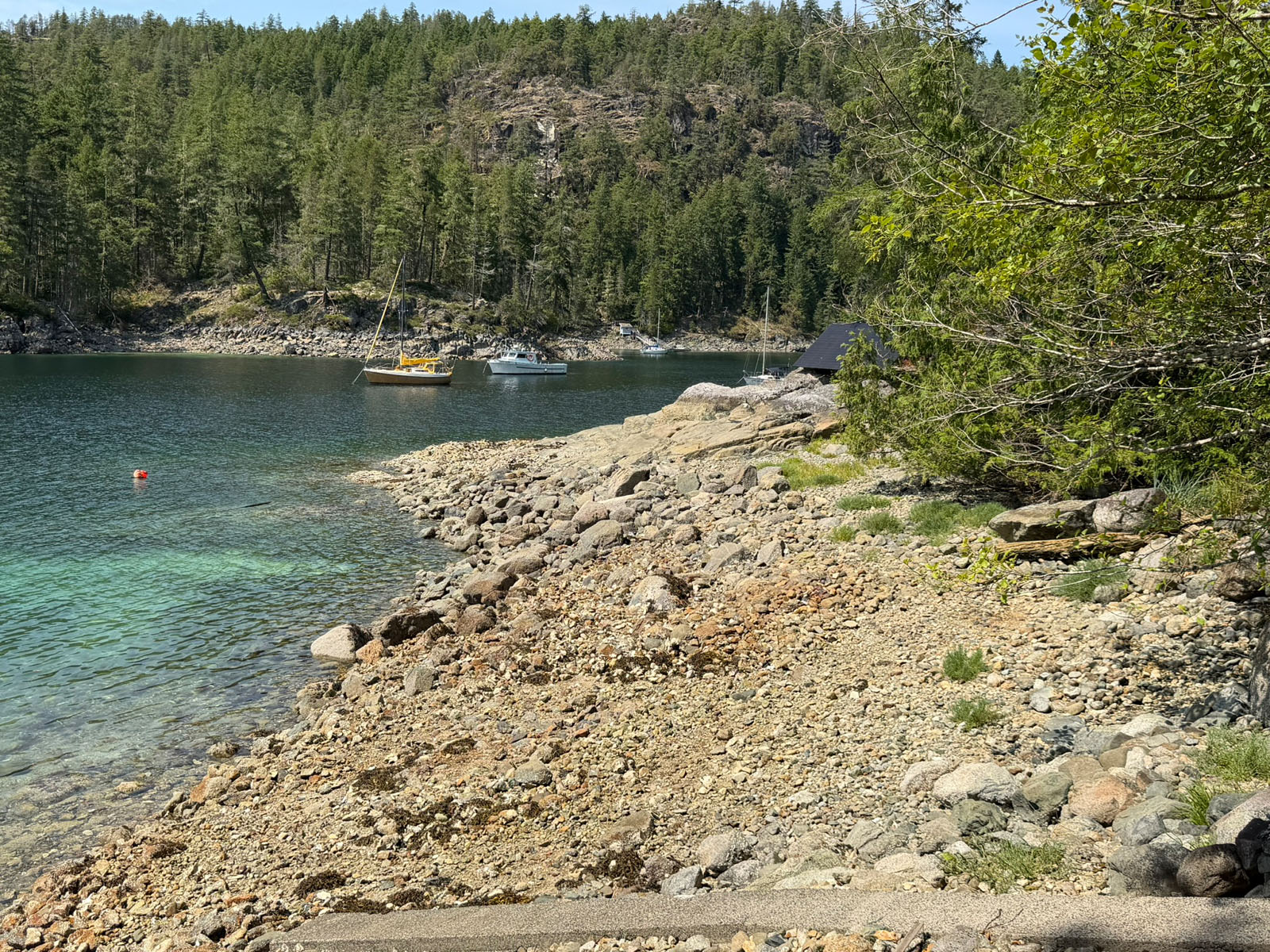
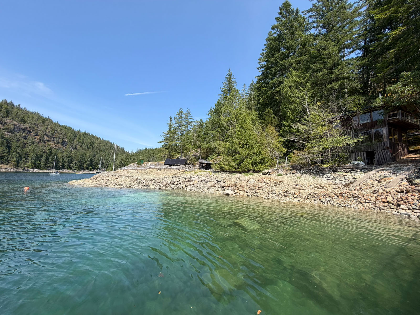
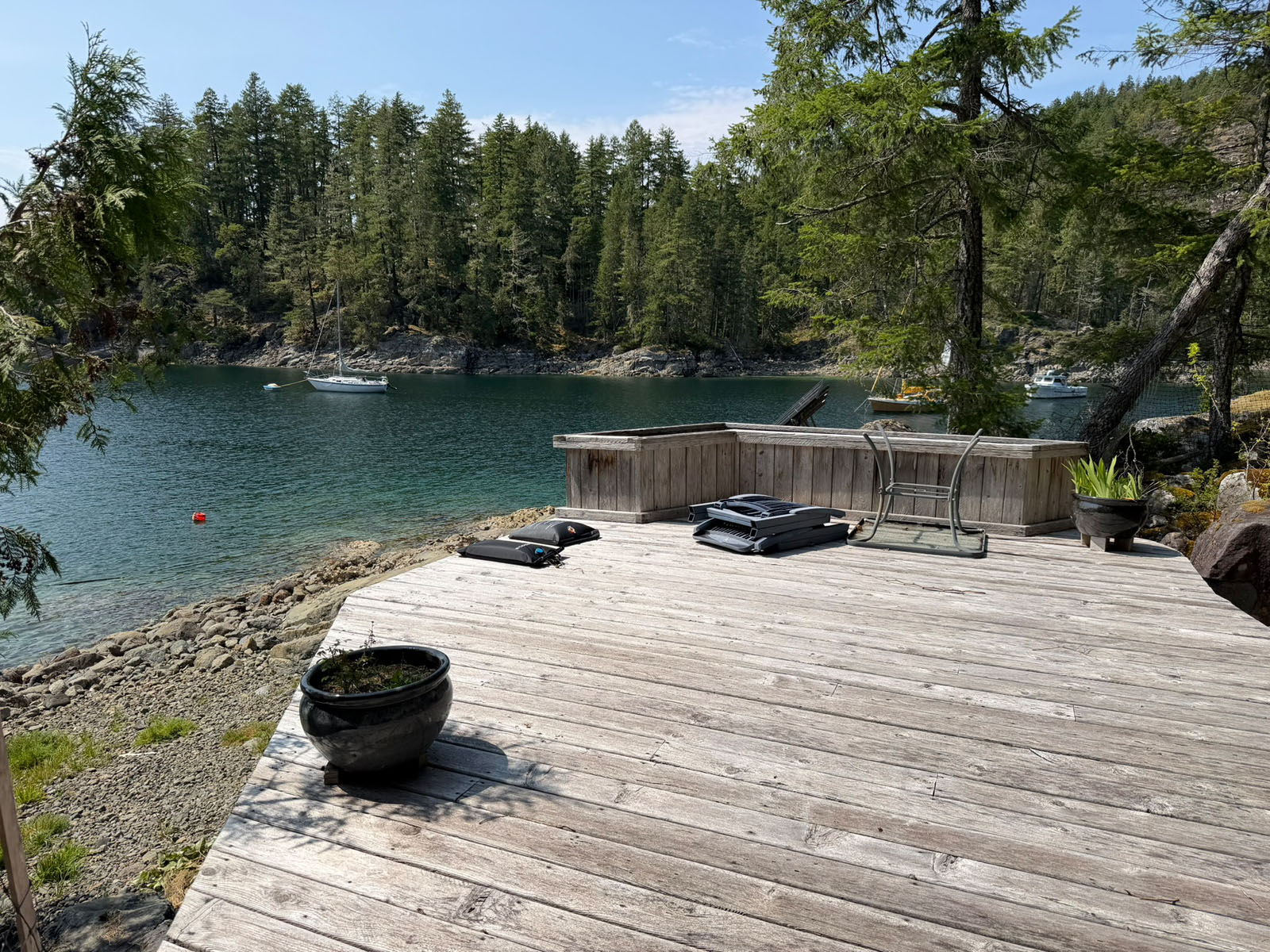
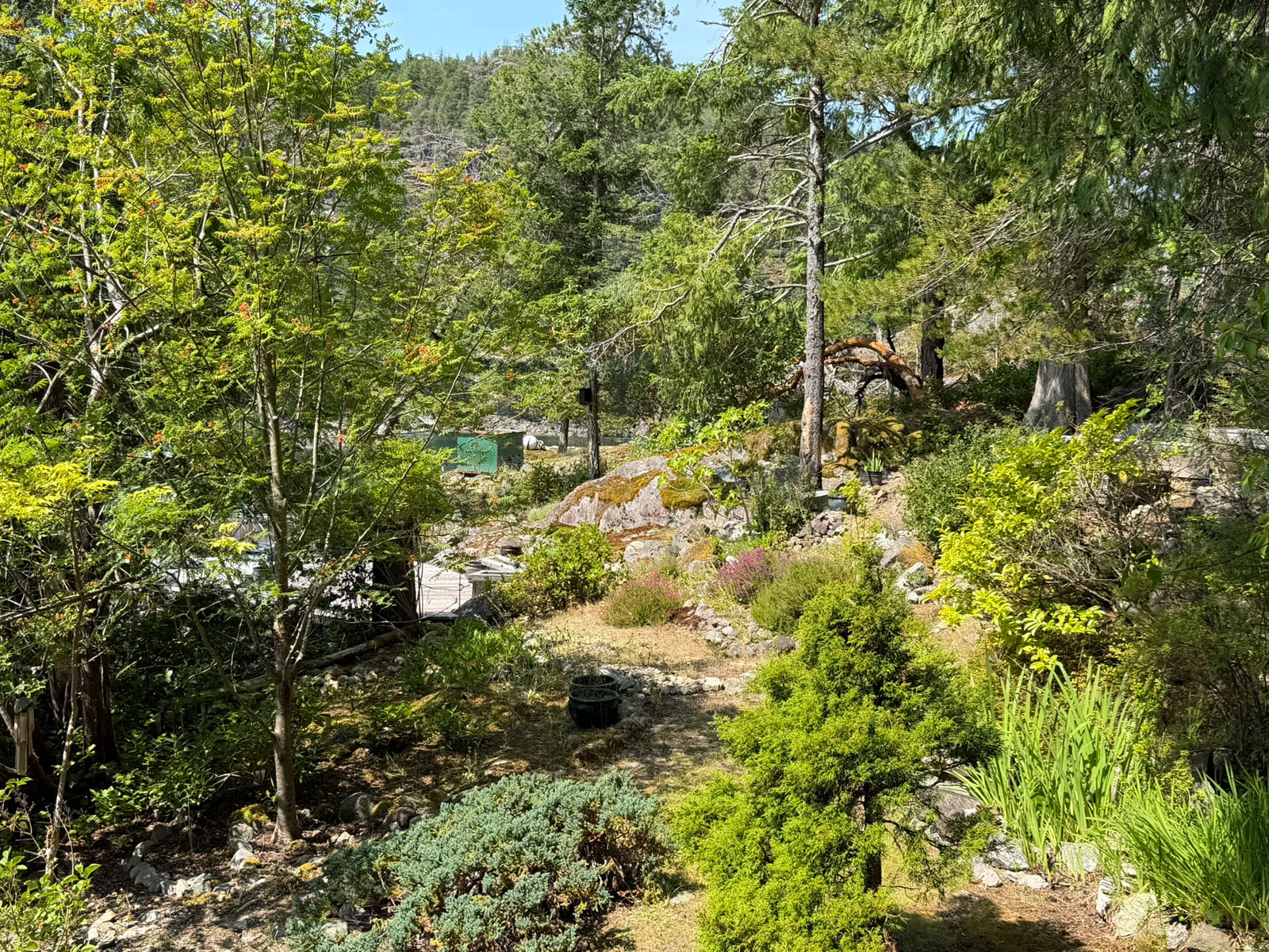
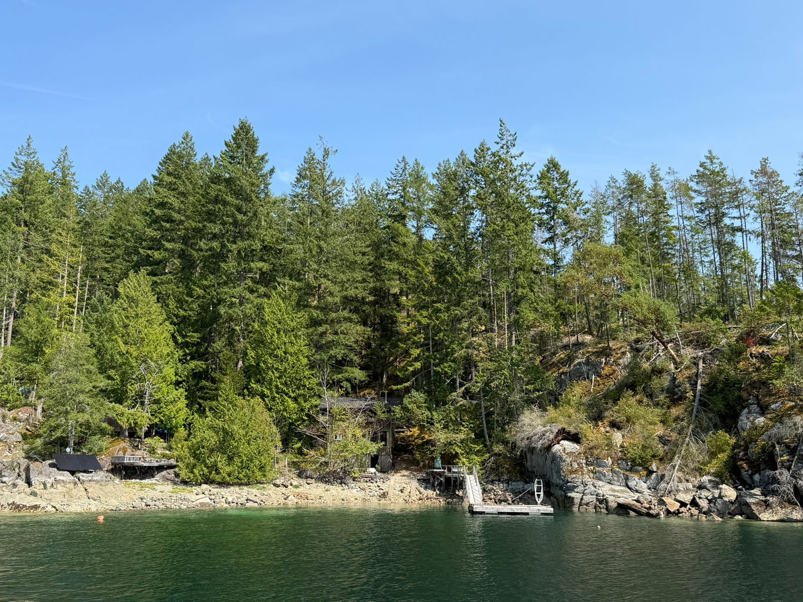
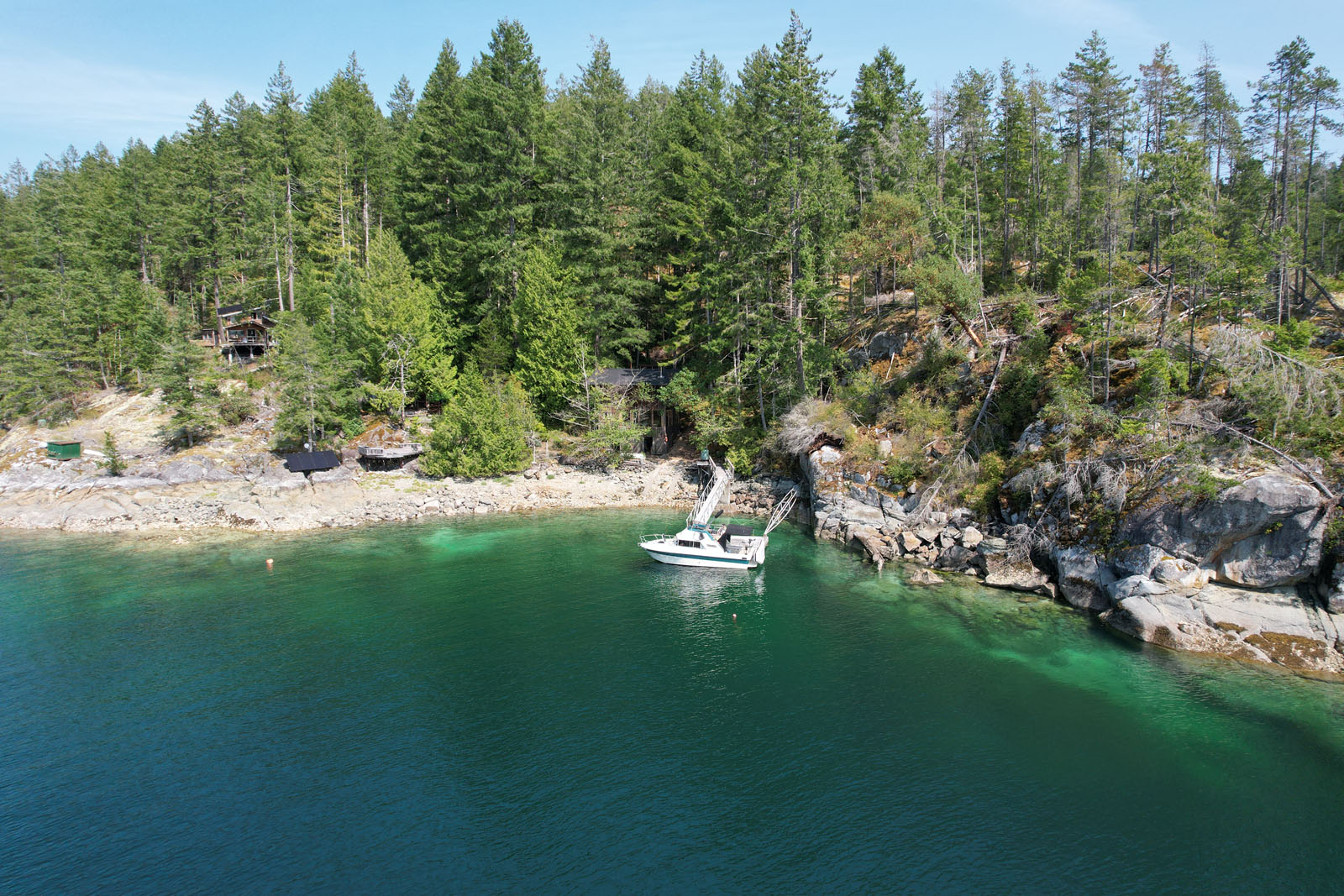
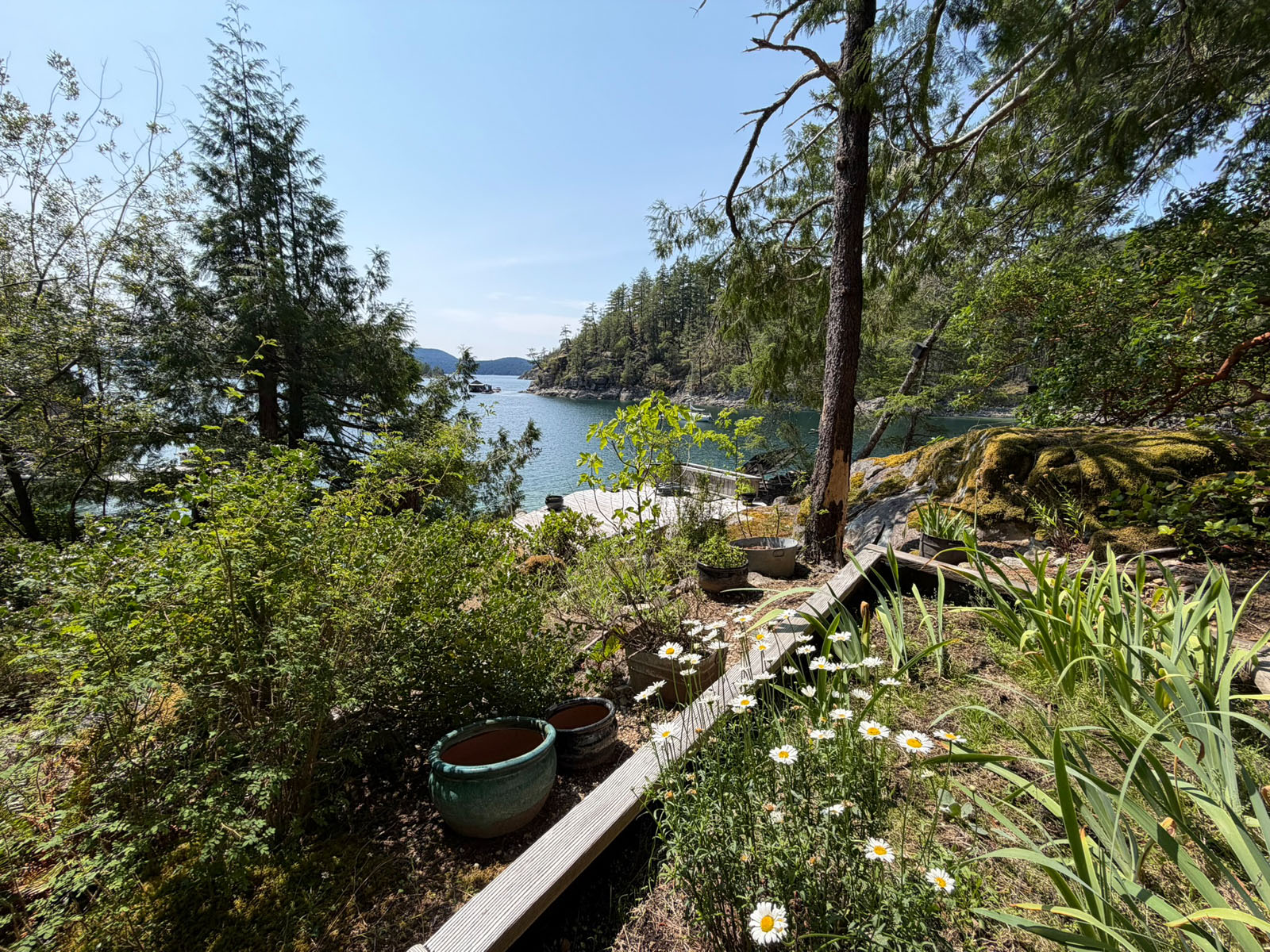
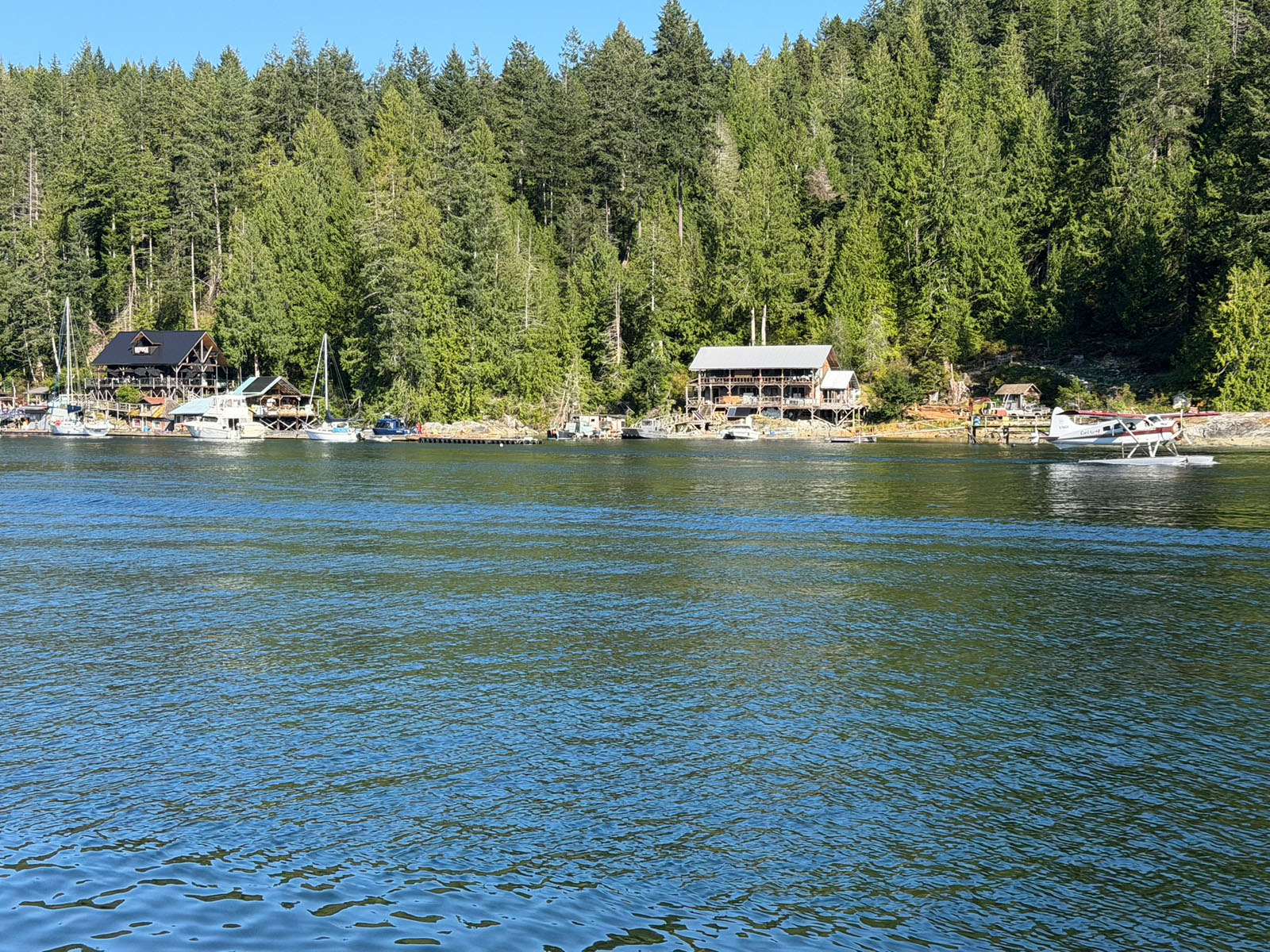
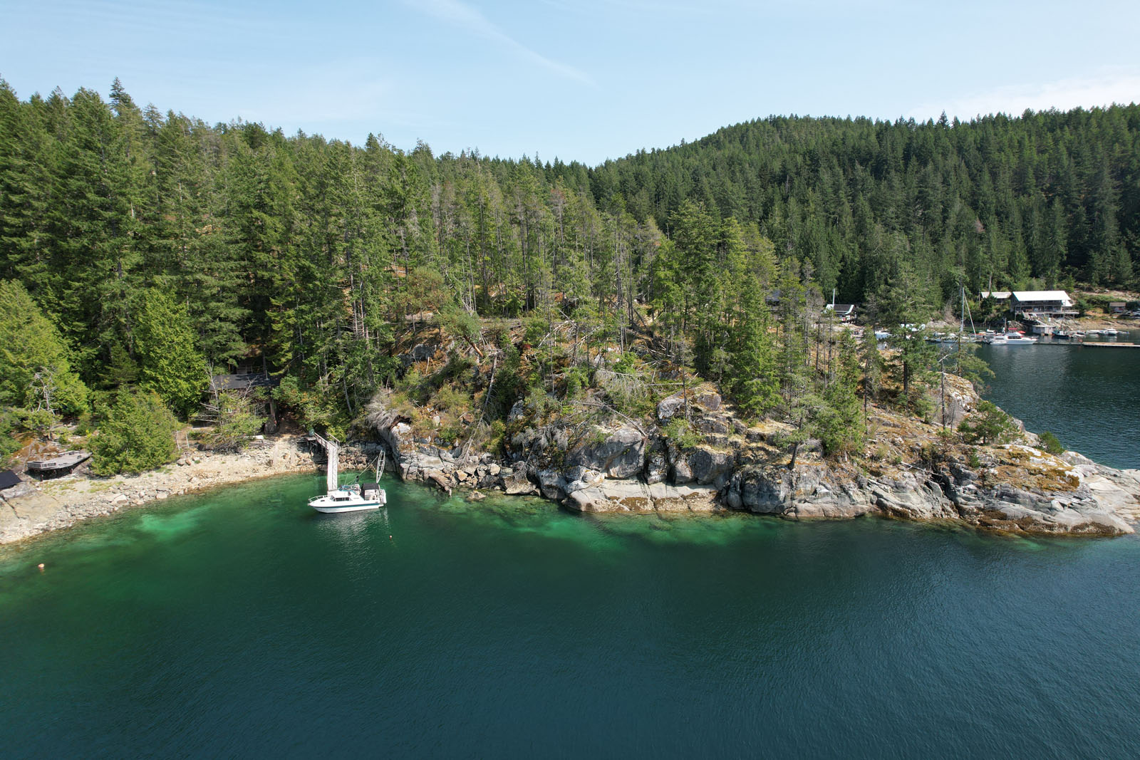
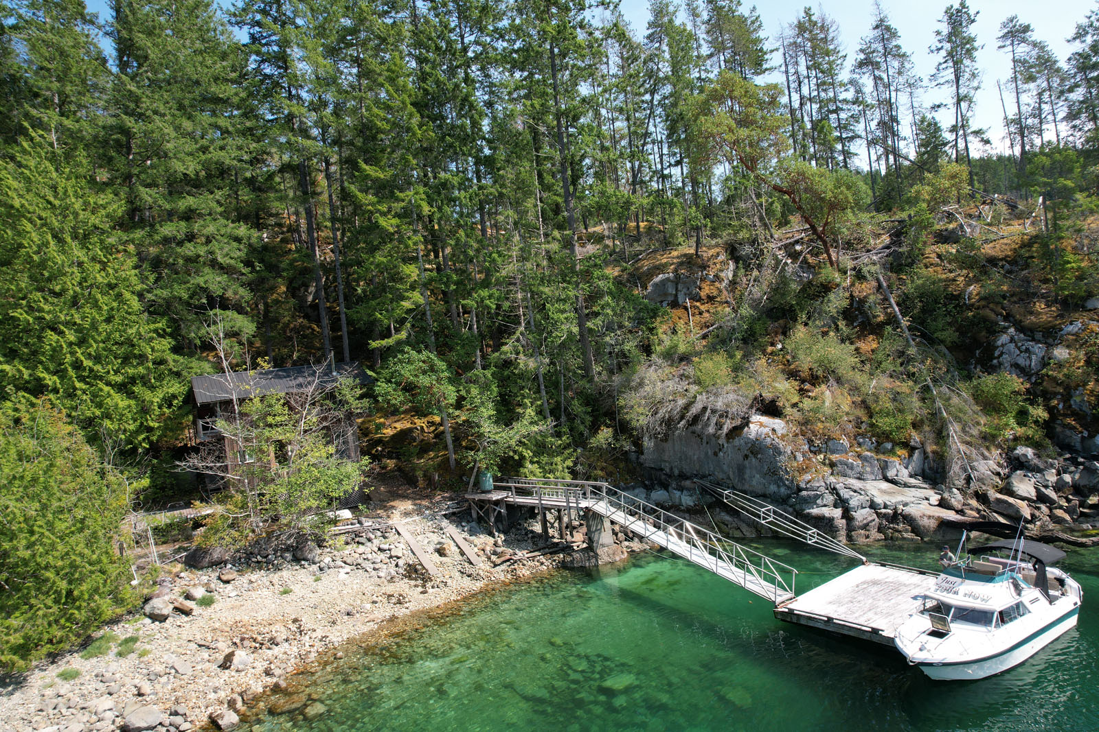
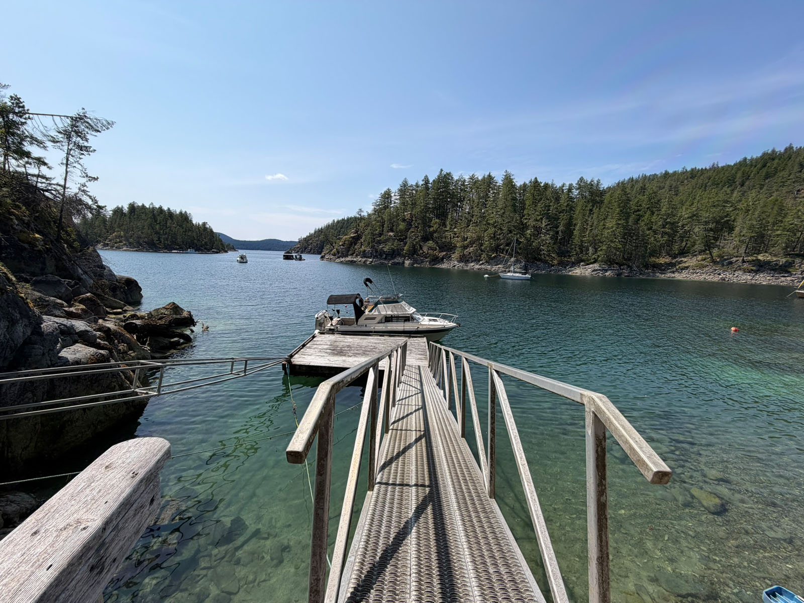
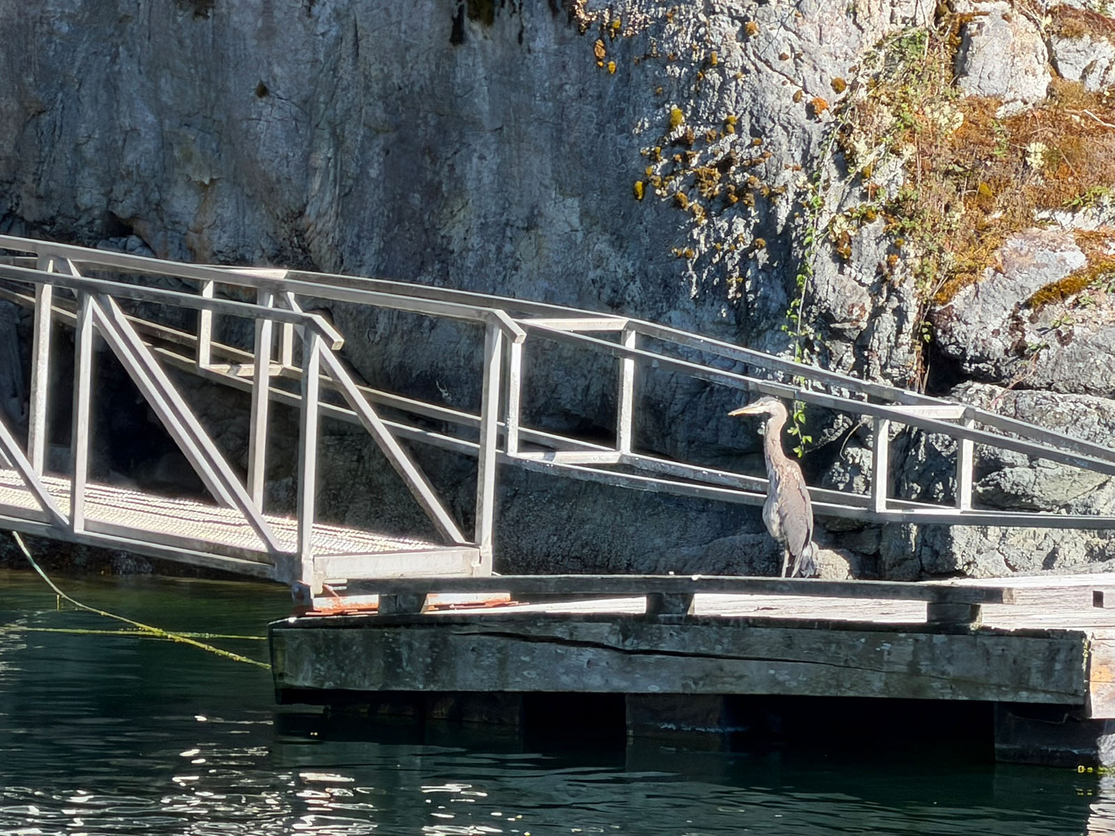
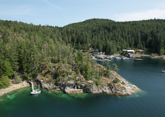
Located in the heart of Desolation Sound on West Redonda Island, this unique offering provides an opportunity to own an oceanfront home and private dock within the established Refuge Cove community. Known as a popular destination for boaters exploring Desolation Sound, Refuge Cove is surrounded by spectacular coastal scenery, warm summer waters and some of the finest boating and recreation on the BC coast.
The offering consists of one cooperative share in the Refuge Cove Land and Housing Co-Operative Association, together with a designated homesite and a 1/18 interest in approximately 186 acres of oceanfront property surrounding Refuge Cove. With only 18 cooperative owners, each with their own designated homesite, the property offers considerable space and privacy while providing access to shared lands and amenities.
Perched above the water, the 864 sq. ft. two-level home enjoys expansive western views across Refuge Cove toward Cortes Island and Desolation Sound. The main level features an open-concept kitchen, dining and living area, with large windows taking advantage of the ocean views. Upstairs is an open-concept bedroom and bathing area with a bathtub and shower. The home is finished with cedar siding and a durable metal roof and is heated by a woodstove.
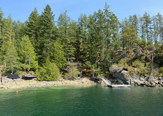
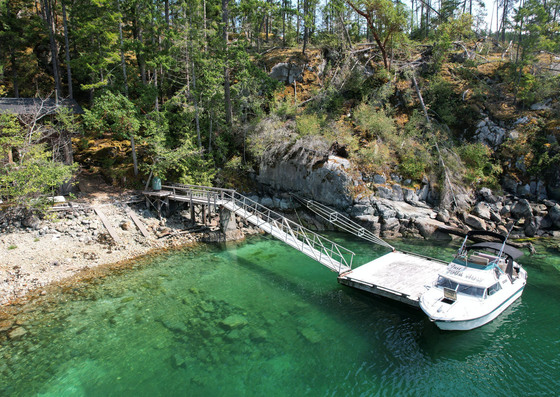
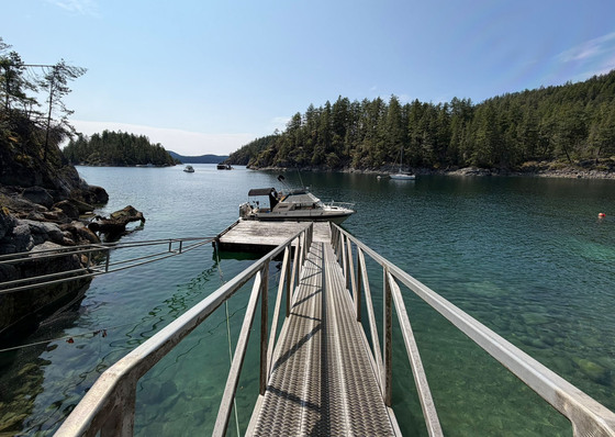
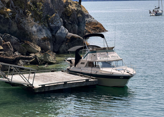
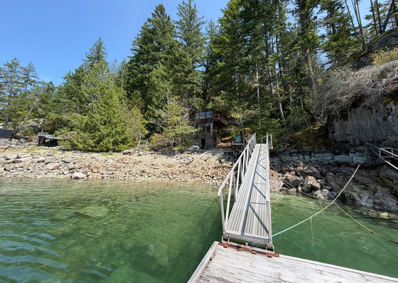
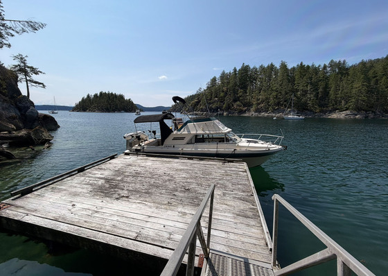
A significant feature of the property is the private, protected deep-water dock located directly in front of the home, providing convenient boat access and moorage. Owners also have access to the Co-op's approximately 150 ft common dock, in addition to the extensive Refuge Cove Harbour Authority docks and protected anchorage within the cove.
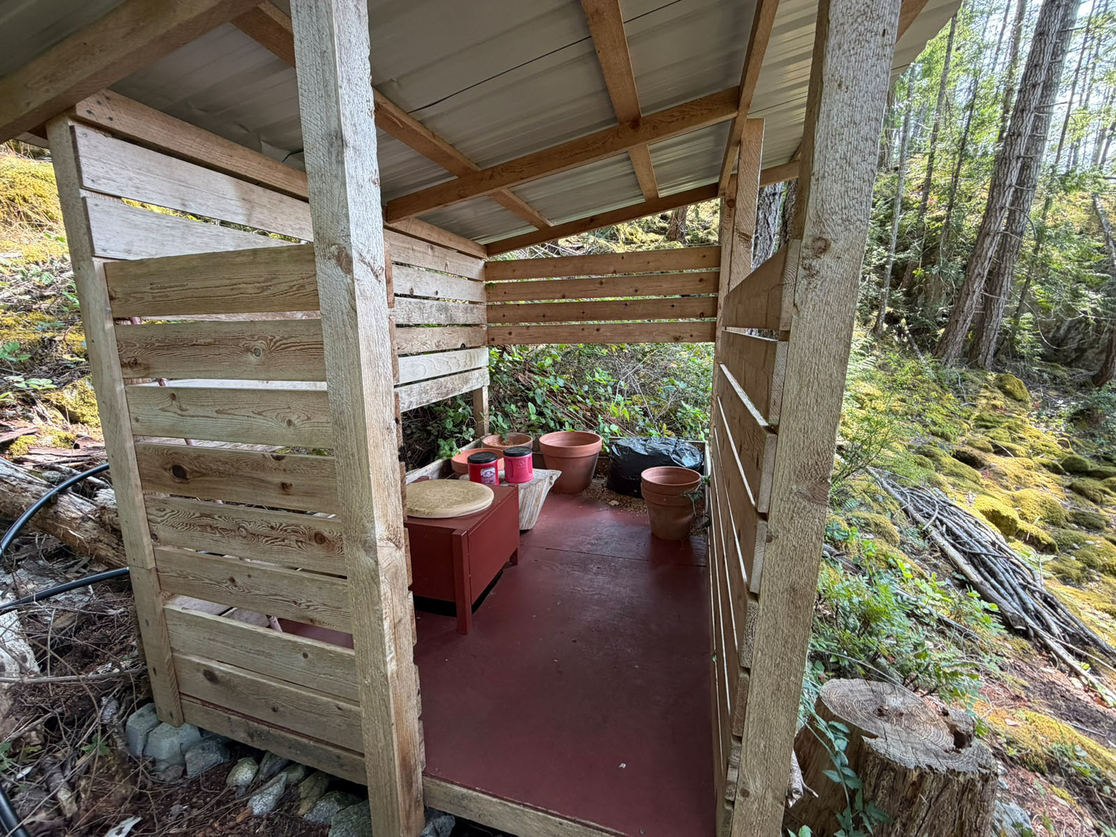
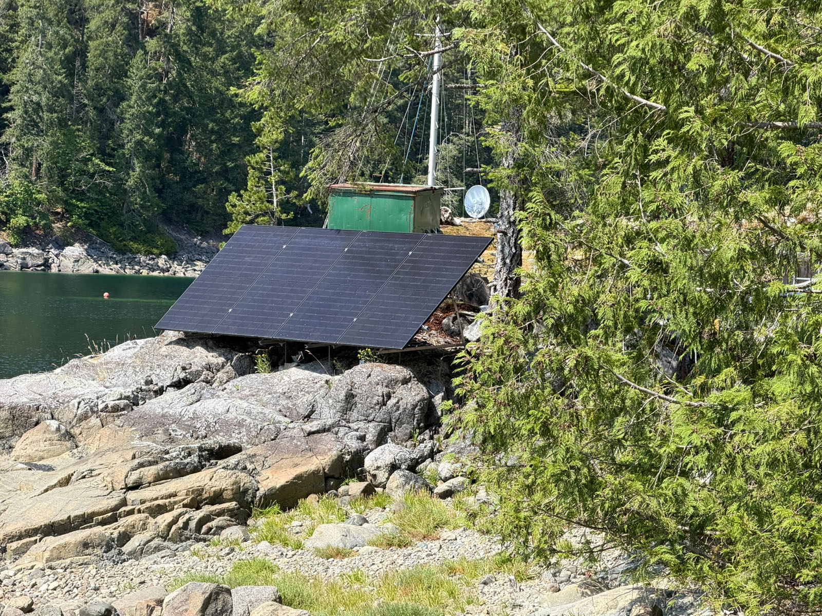
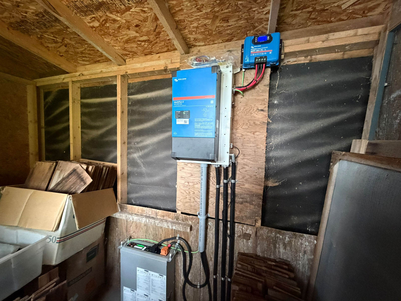
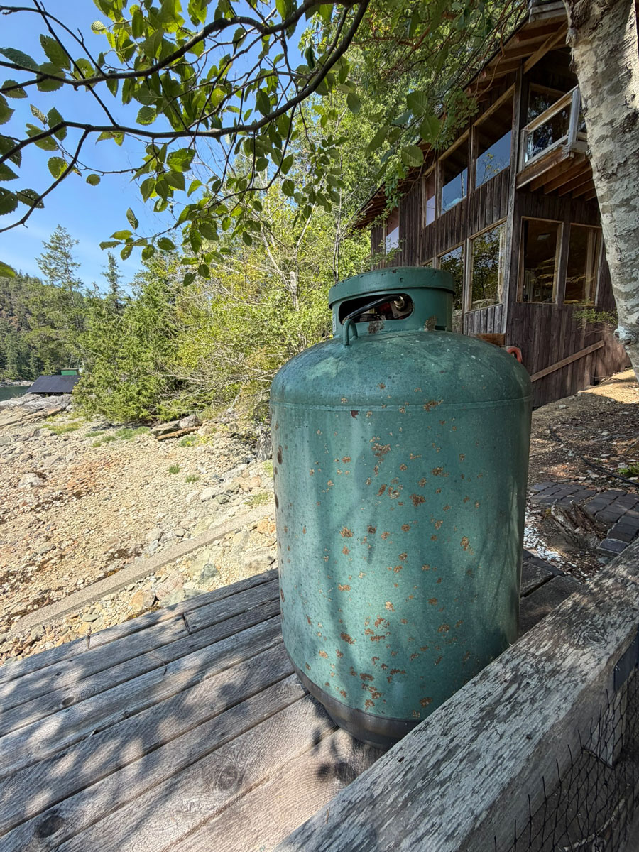
The home is connected to the community water system and has a recently upgraded off-grid power system with solar panels, lithium battery storage and inverter. The refrigerator and stove are propane powered, with propane delivered by barge to a large storage tank located near the dock. An outhouse and composting toilet provide sanitary facilities.
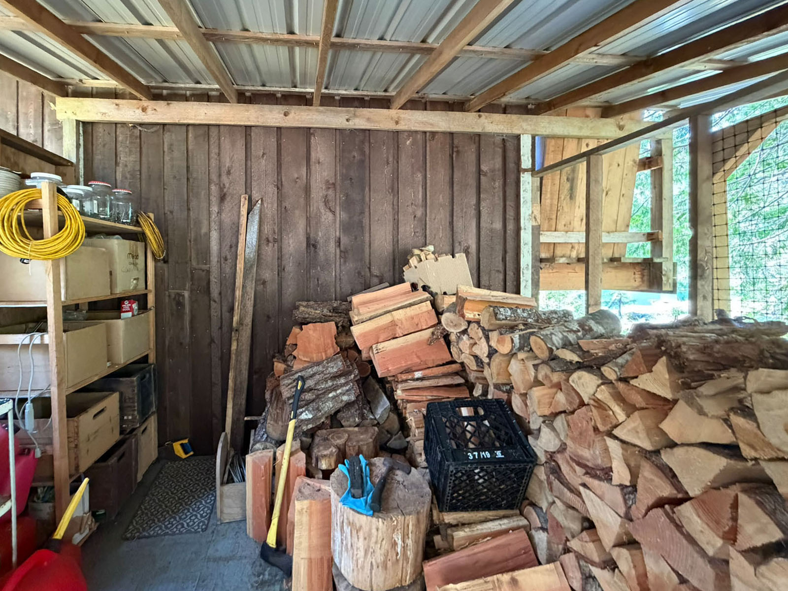
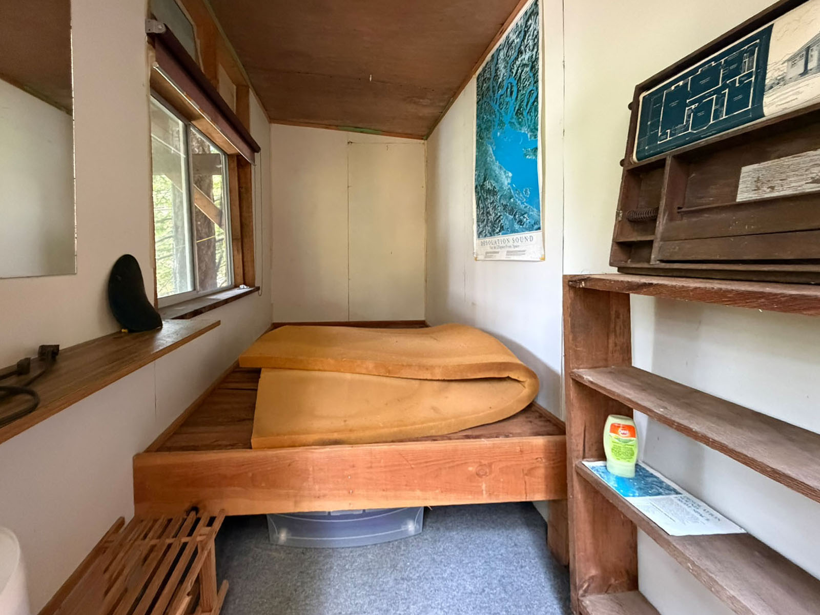
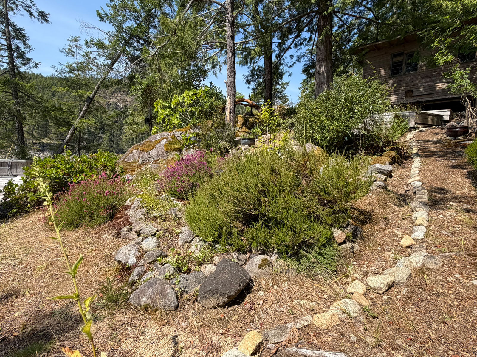
Adjacent to the home is a garden area and waterfront deck overlooking the cove. Additional improvements include a storage/tool shed housing the power system and a small one-bedroom bunky providing additional accommodation.
Much of the Co-op's 186 acres remains in its natural state, with mature coastal forest and an extensive network of hiking trails. Owners also enjoy access to a neighbouring freshwater lake, providing another recreational option away from the waterfront.
One of the advantages of this location is its proximity to the amenities of Refuge Cove. The general store, fuel, post office, restaurant and docks are approximately four minutes away by boat or an eight-minute walk from the home. Refuge Cove has long served as an important supply and gathering point for residents, boaters and visitors travelling throughout Desolation Sound.
Squirrel Cove on Cortes Island is approximately 2.7 miles away, while Lund and Okeover Harbour are approximately a 20-minute boat ride, providing convenient connections to the mainland.
Offering a private oceanfront homesite, protected deep-water dock, established off-grid residence and a 1/18 interest in 186 acres, this is a distinctive opportunity to become part of the small Refuge Cove community while enjoying direct access to Desolation Sound.
1/18 Interest in 186 acres
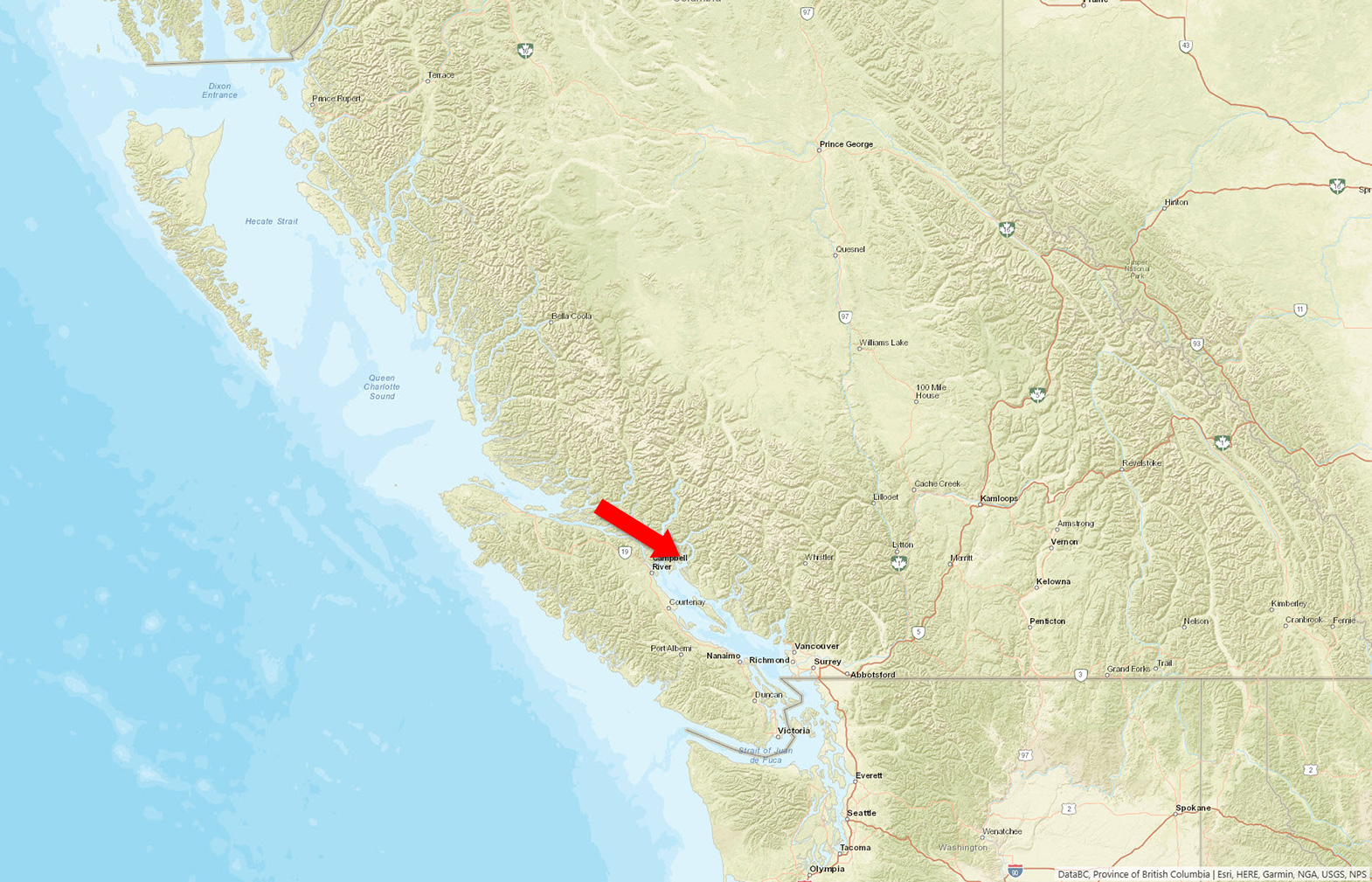
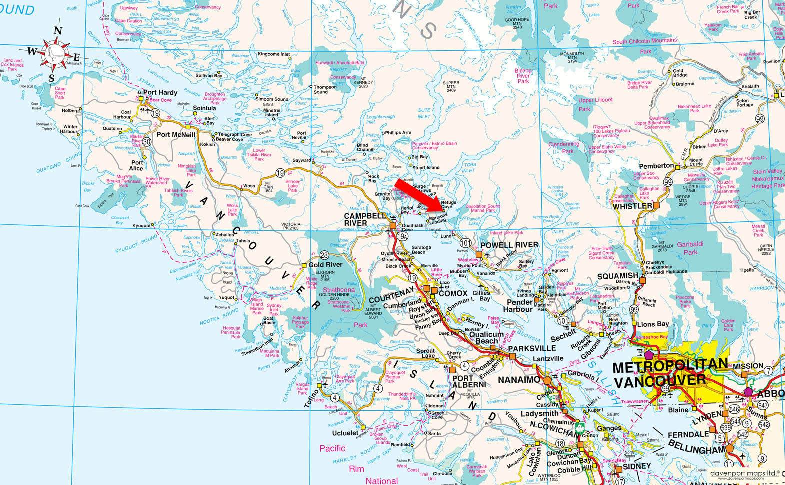
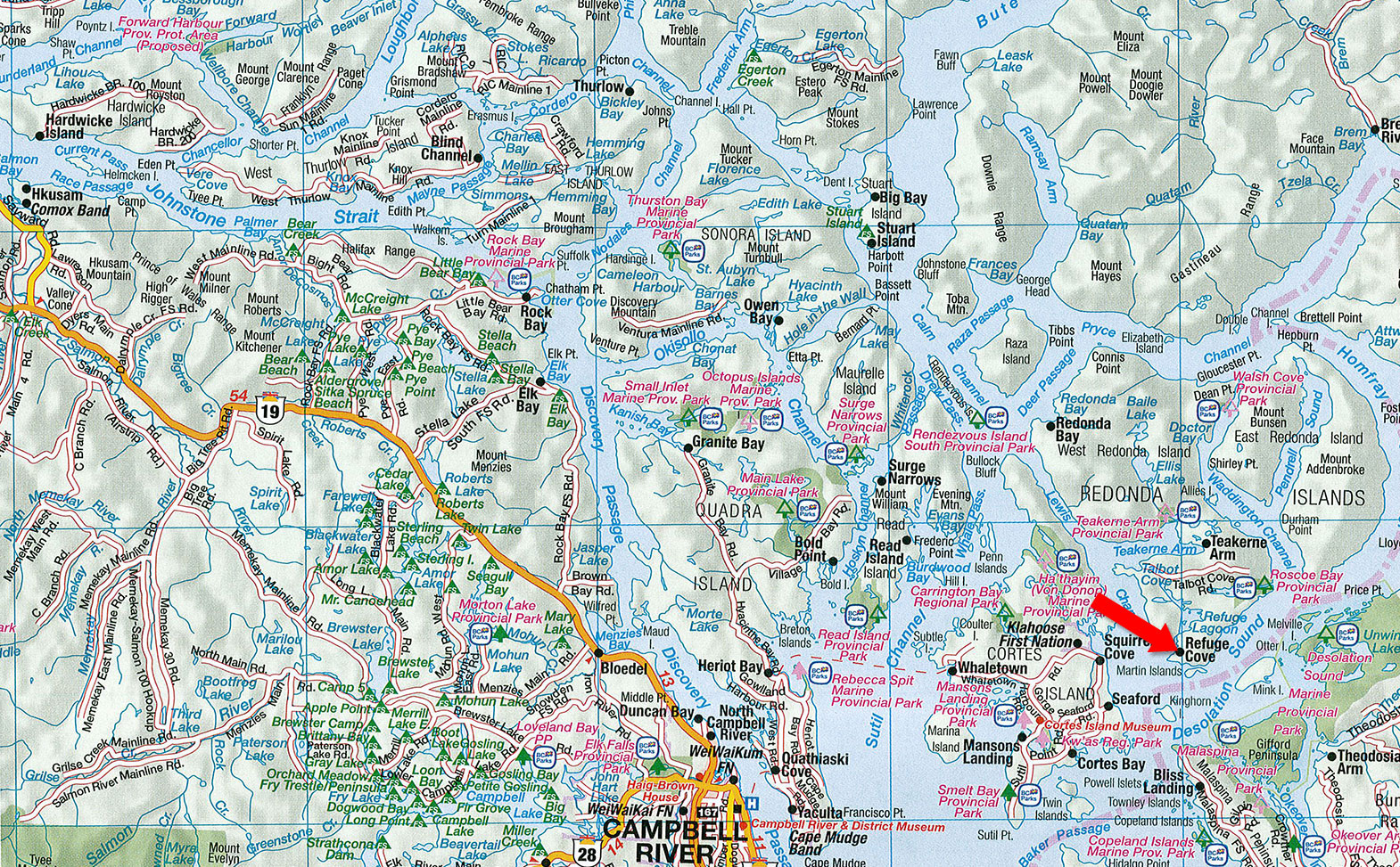
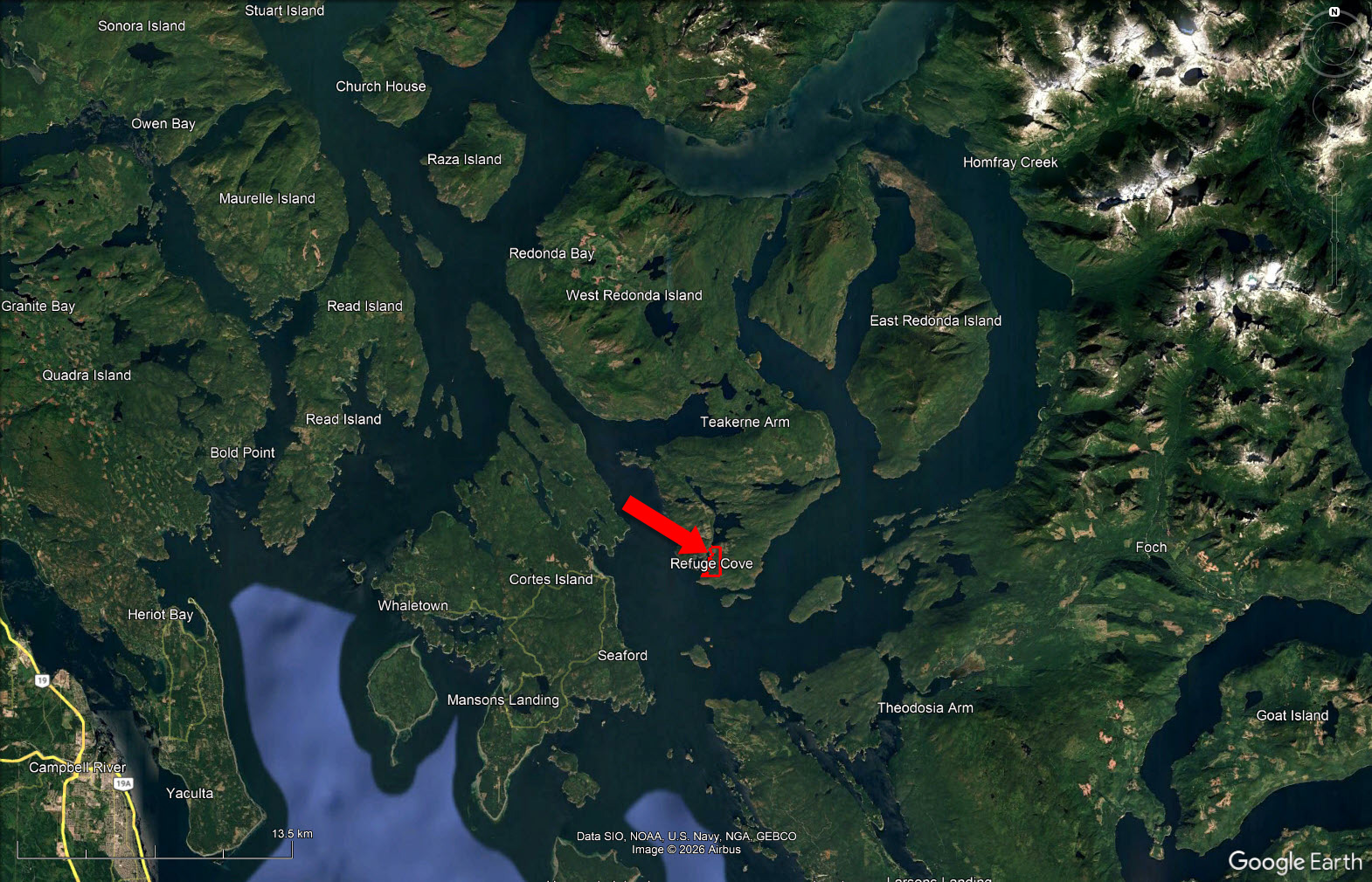
150 km northwest of Vancouver on West Redonda Island in Refuge Cove.
Contact the listing agent.
Refuge Cove is located approximately 150 km northwest of Vancouver between the Mainland and Vancouver Island. Refuge Cove is a year-round community in the heart of the Desolation Sound area of the Inside Passage. A centrally located supply stop for boaters traveling in or near Desolation Sound, it offers a wide range of services including moorage, fuel, groceries, ice, showers, laundry, espresso, and other supplies.
Most of the services are seasonal, operating from June through September.
Refuge Cove is home to 18 families during the warm summer months. Hundreds of boaters stop here daily during the summer, relaxing and provisioning for their Desolation Sound adventures. During the off season there are a handful of year-round residents that call Refuge Cove home.
Refuge Cove can be accessed by boat or by plane. It is possible to get within 3 miles of Refuge Cove by car, with a short crossing by boat. Alternatively, during the summer months there is direct flight service by Kenmore Air. Float planes land right at the government dock, a short distance from the property.
Desolation Sound Marine Provincial Park (8,256 hectares) is British Columbia's largest marine park. It includes more than 60 km of shoreline, several offshore islands and a gradually rising upland that contains a number of lakes, waterways and waterfalls. Unwin Lake, a 173-hectare body of fresh water, is the park's largest lake. Set back to the north and east, Coast Mountains soar to more than 2,400 metres. The warm waters surrounding the area teem with sea life. Ideal for swimming, scuba diving and feasting on your catch of the day, salmon, cod, prawns, crab, clams and oysters. Plenty other tasty morsels lie beneath on the oceans floor; to acquire them you must put on your scuba gear and get a little wet, or you could take a short drive by boat or car to the Laughing Oyster Restaurant at the head of Okeover Inlet, which is one, if not the best, place to eat in the overall area of Powell River.
Just across the channel is where the big salmon congregate in early autumn. This 116 square mile island is accessible by ferry and offers fantastic scenery, the freshest air in the world, idyllic beaches and great fishing. This island boasts only two “stop signs” and is very popular with the tourists in the summer months.
Campbell River (population approximately 38,000), also known as the Salmon Capital of the World, is situated on Discovery Passage on the north-east coast of Vancouver Island facing the islands of Quadra, Cortes, Read and Redonda. The major industries of this area are forestry, fishing, mining and tourism.
Just around the corner is the historic community of Lund, where you can find a grocery and liquor store, a few restaurants, pub, marine mechanics, tour and recreation services.
The area of Lund was established in 1899 when the Thulin Brothers started to build the hotel, which is still in use today. Recently the hotel has changed ownership and has seen a major renovation. For most of the early years Lund served as a port for fisherman. Today Lund thrives on its attraction from tourists.
Savary Island is a crescent-shaped island located in the Strait of Georgia 144 km (89 miles) northwest of Vancouver, British Columbia and 6 km (4 miles) west of Lund on the Sunshine Coast. This pearl of an island, which looks like it floated up from the South Seas, is known as the Hawaii of the North for its mild climate and miles of white sandy beaches. It is about 8 km (5 miles) long and averages just under 1 km (1/2 mile) wide. Low-lying Savary is ideally situated in the rain shadow between Vancouver Island and the Coastal Mountains and unlike most Gulf Islands, Savary runs east-west. The tides moving from the north and south of Georgia Strait meet just north of Savary. The southern tide is warm and the waters move less, which results in generally warmer seas. This water flows over Savary’s sun baked sandy shelf producing the warmest water north of Mexico.
The Island has a public wharf and is accessible by float plane, boat, barge or water taxi from Lund. Since there are no campsites here, accommodation takes the form of cabin rental or Bed & Breakfast. The south shore has the strait winds, so it has big rollers and attracts surfers.
Savary Island is very safe—more park than wilderness. There are no bears, cougars, rats or raccoons on Savary. Deer are the only common large mammal, while mink and otters come ashore occasionally. There are many bald eagles and hummingbirds which summer here, while owls, woodpeckers and many migratory species frequent the island. As well as clams, there are oysters, mussels, crab and geoducks found on or near the beaches.
With a population of approximately 20,000 people, this friendly seaside town offers 'big city' amenities and luxury services without the 'big city' parking and traffic hassles. A full-service hospital, medical, dental, chiropractic, physiotherapy and massage therapy clinics, health and beauty spas, a newly renovated recreation complex, full banking facilities, marine services, outdoor guides and outfitters, challenging championship par-72 golf course, plus a wide range of retail outlets, art galleries, gift shops and fine dining are all within easy access.
The Upper Sunshine Coast from Saltery Bay to Desolation Sound boasts approximately 1,900 hours of sunshine annually. Summer temperatures vary from 20 to 30 degrees Celsius (70 to 90 degrees Fahrenheit) while winter temperatures are mild.
Desolation Sound is the largest marine park in southern British Columbia. The sound is calm with an abundance of wildlife and has the warmest waters along the coast. This is a fun area to explore with old logging, farming and aboriginal sites. The several islands not only offer good anchorage sites, but add to your cruise experience.
Captain Vancouver in 1792 named it Desolation Sound, because of the rugged appearance, the silence and the fog. Today, it is one of the main boating spots for city dwellers, wanting to get away from it all. The most popular destinations within Desolation Sound are Grace Harbour, Tenedos Bay and Prideaux Haven. Grace Harbour has anchorage along the shore, while Tenedos Bay offers protected anchorage in many coves. Then there is Prideaux Haven, with unsurpassed scenery, old historic sites and settlements, with places that offer protection when anchored.
One can spend weeks boating in this area, making your way along Cortes Island, East and West Redonda Islands, and cruising Pendrell Sound, with its warm waters and large oyster culture farm. Anchorage can be found at the head of the Sound and on the western shore about three-quarters of the way up the Sound.
Desolation Sound, Savary Island, Harwood Island, Bliss Landing and the Copeland Islands are areas of interest and are all located in close proximity to the property. The area is rich in natural beauty and abundant with sea life. The area is also rated among the best in the world for its scuba diving.
West Redonda Island and East Redonda Island were both sighted in 1792 by the Spanish explorers, Galiano and Valdés, and given the name Isla Redonda, meaning "round." The ships of Galiano and Valdés spent several days anchored near the two ships under George Vancouver in Lewis Channel and Teakerne Arm off the west coast of West Redonda Island. From this base the two expeditions sent out boat parties to explore the many islands and channels in the area, sharing their findings with one another.
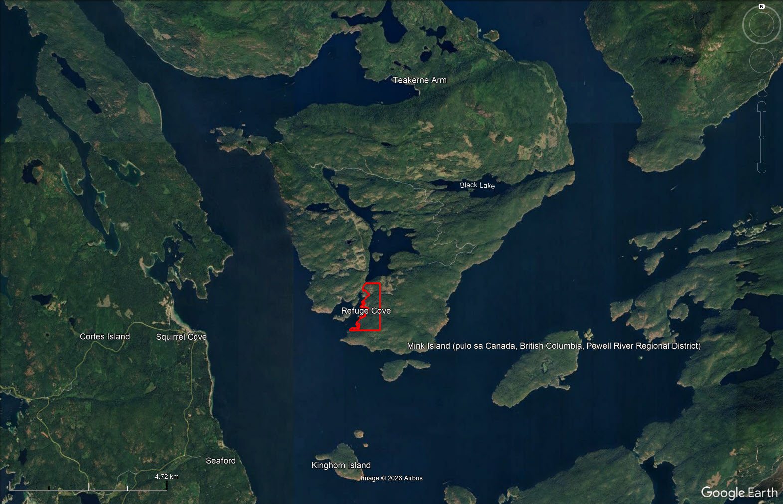
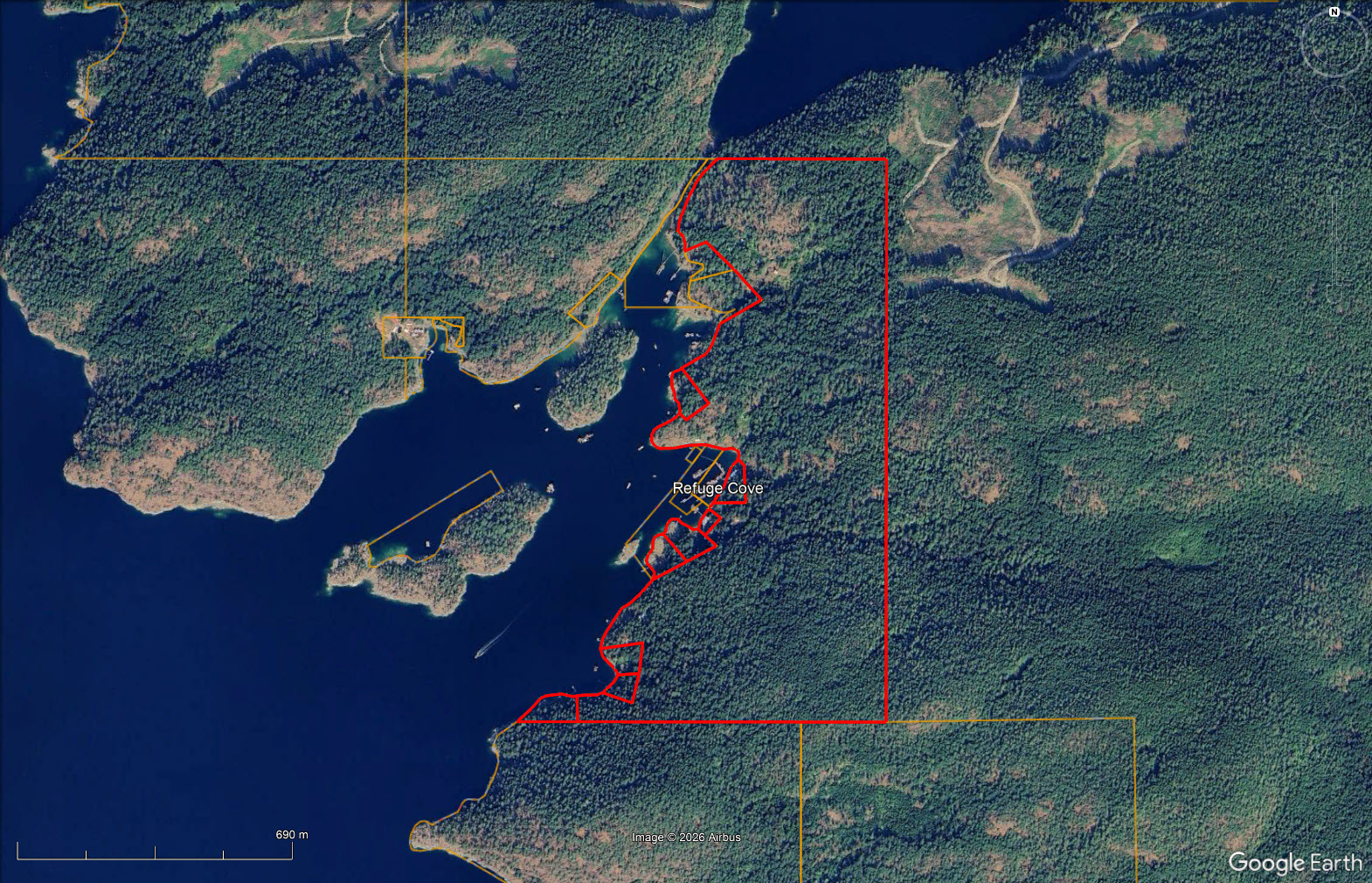
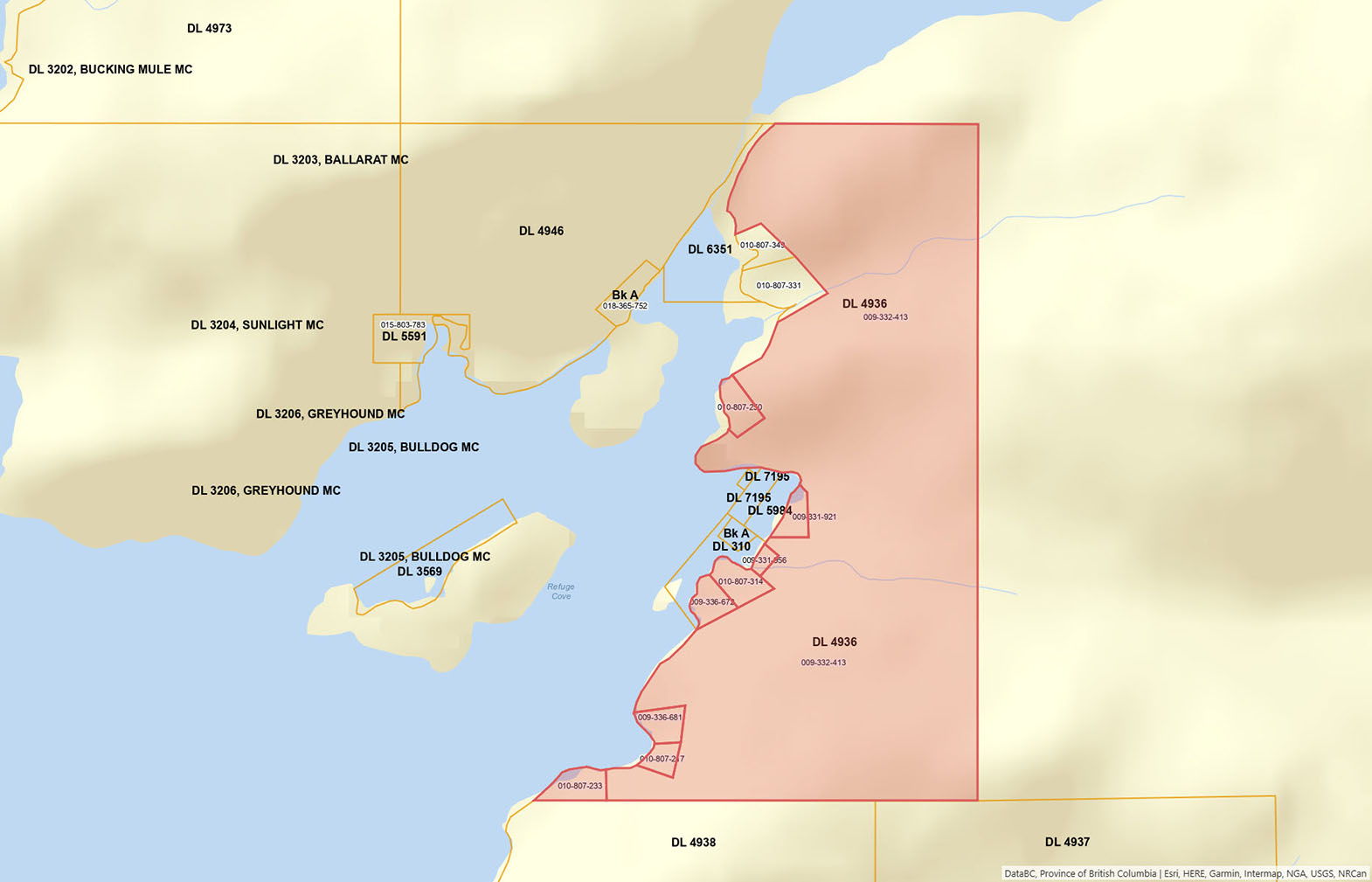
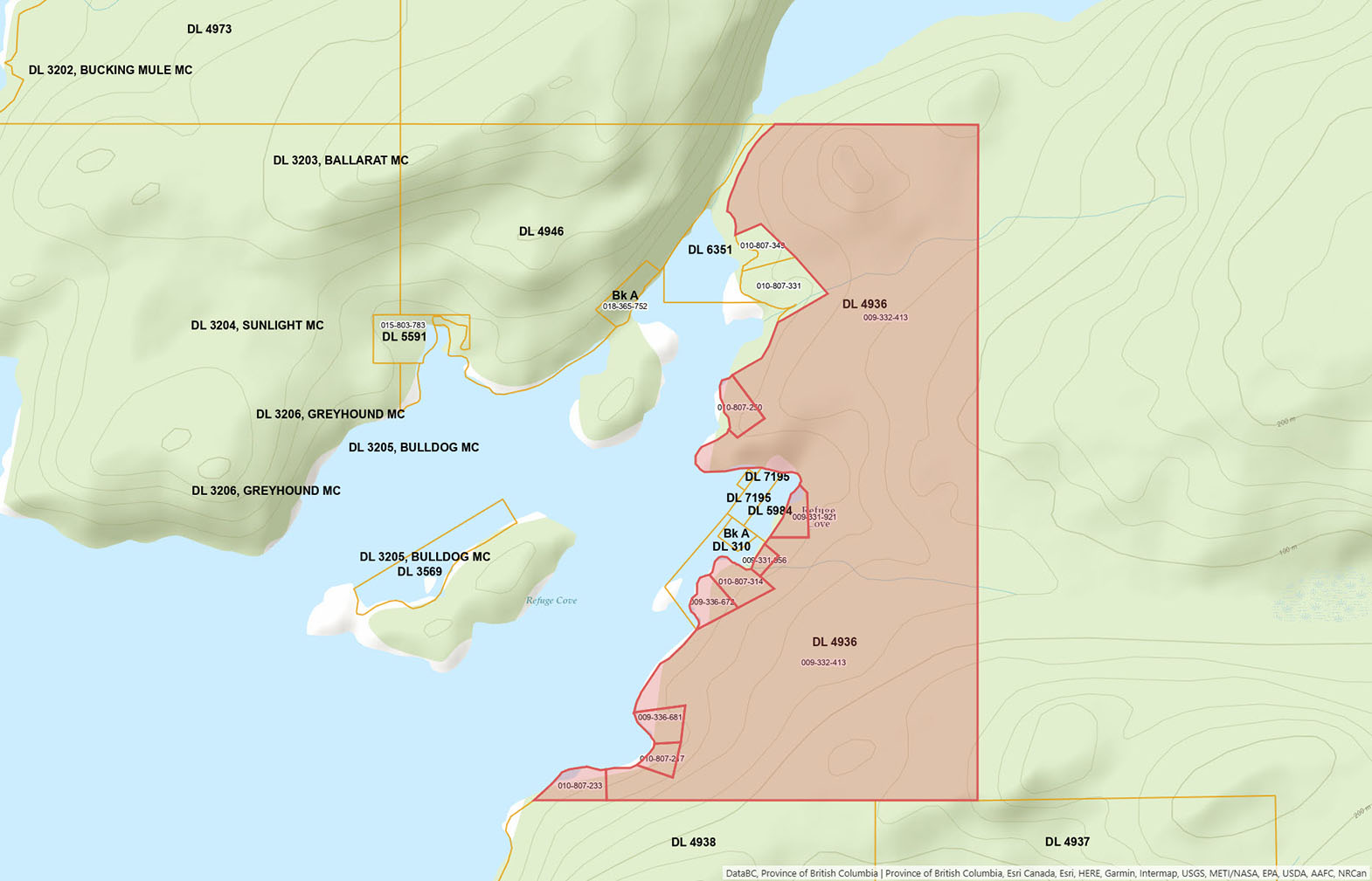
Please see mapping section, all boundaries are approximate.
50°7'25.72"N and 124°50'18.33"W
$1,500 (2026)
RU-3 (Rural Three)
Strathcona Regional District Bylaw No. 1213, Quadra Island Zoning Bylaw, 1990
Additional zoning information can be found on the Strathcona Regional District website.
Share Sale - 1/18 share of Refuge Cove Land and Housing Co-Operative Association, which is the registered owner of the following 9 parcels of land:
Block A, Plan VAP1919R, District Lot 4936, Group 1,
New Westminster Land District, See DD 47777L
PID 009-331-921
Block B, Plan VAP2014R, District Lot 4936, Group 1,
New Westminster Land District, See DD 403155L
PID 009-331-956
District Lot 4936, Group 1, New Westminster Land District, Except Plans 1919, & Except Plans 2014 & 6792
PID 009-332-413
Lot C, Plan VAP6792, District Lot 4936, Group 1,
New Westminster Land District
PID 009-336-672
Lot D, Plan VAP6792, District Lot 4936, Group 1,
New Westminster Land District
PID 009-336-681
Lot E, Plan VAP6792, District Lot 4936, Group 1,
New Westminster Land District
PID 010-807-217
Lot F, Plan VAP6792, District Lot 4936, Group 1,
New Westminster Land District
PID 010-807-233
Lot G, Plan VAP6792, District Lot 4936, Group 1, New Westminster Land District
PID 010-807-250
XLot K, Plan VAP6792, District Lot 4936, Group 1,
New Westminster Land District, and Lot K DD72178L
PID 010-807-250
 +8 maps
Our property descriptions and geographical information are taken from the BC Assessment Authority, Land Titles Office, government maps and other sources. While LandQuest® does not guarantee the information, we believe it to be accurate, but should not be relied upon without verification. This communication is not intended to cause or induce breach of an existing agency agreement.
Bliss Landing
 11℃
11℃
 6℃
6℃