


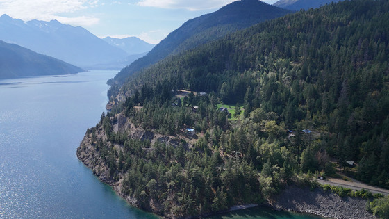
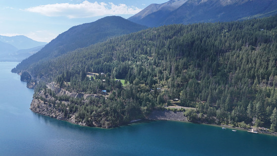
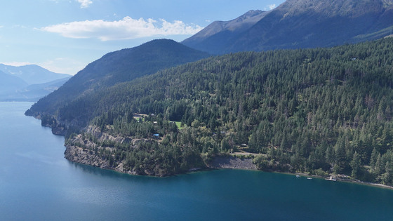
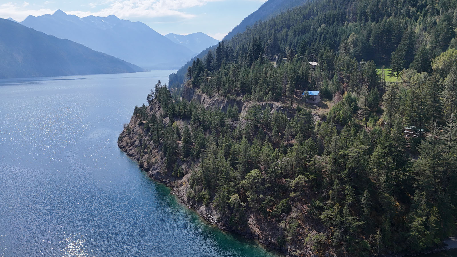
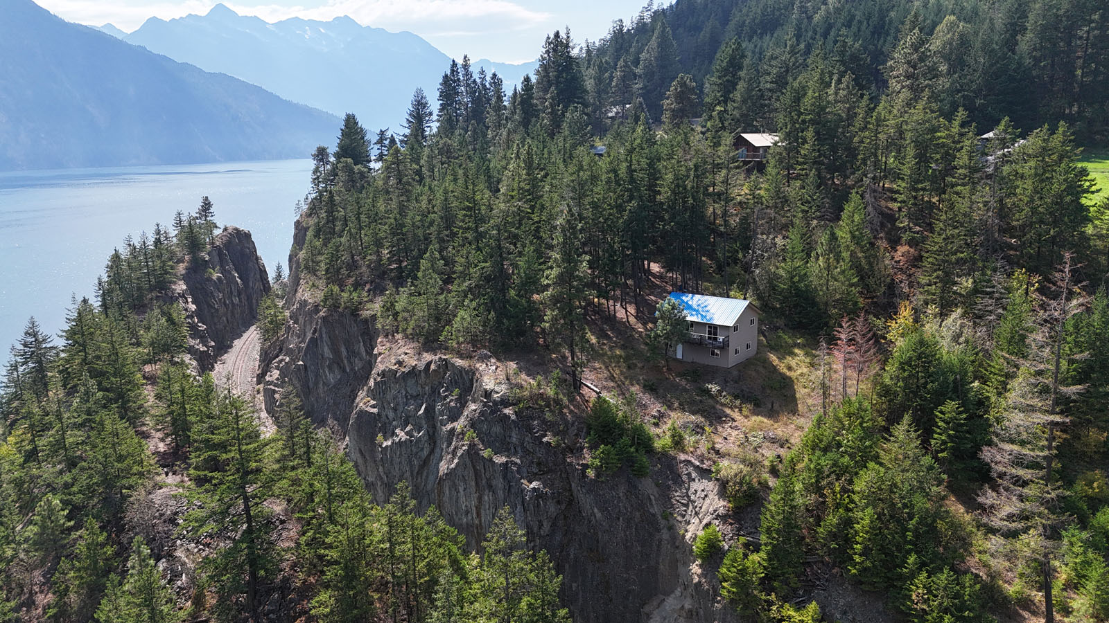
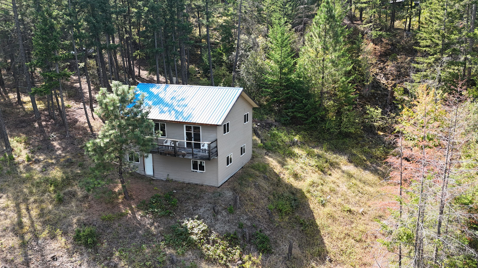
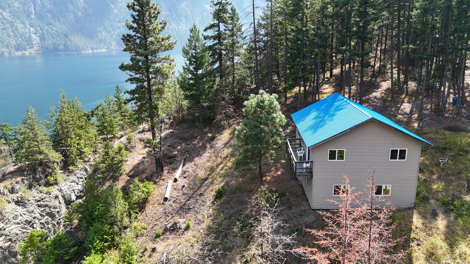
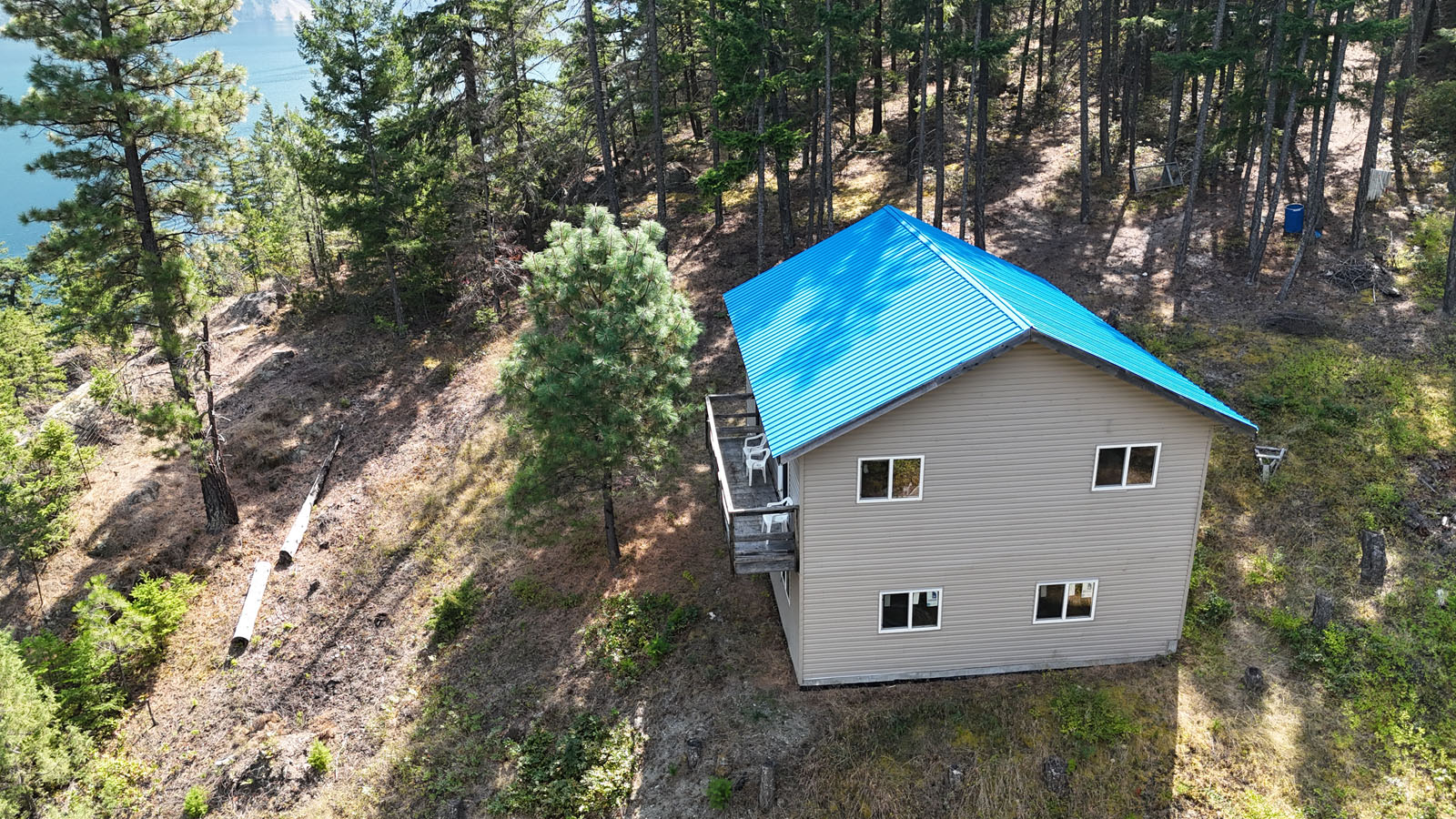
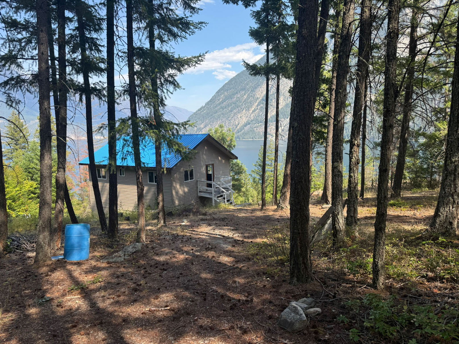
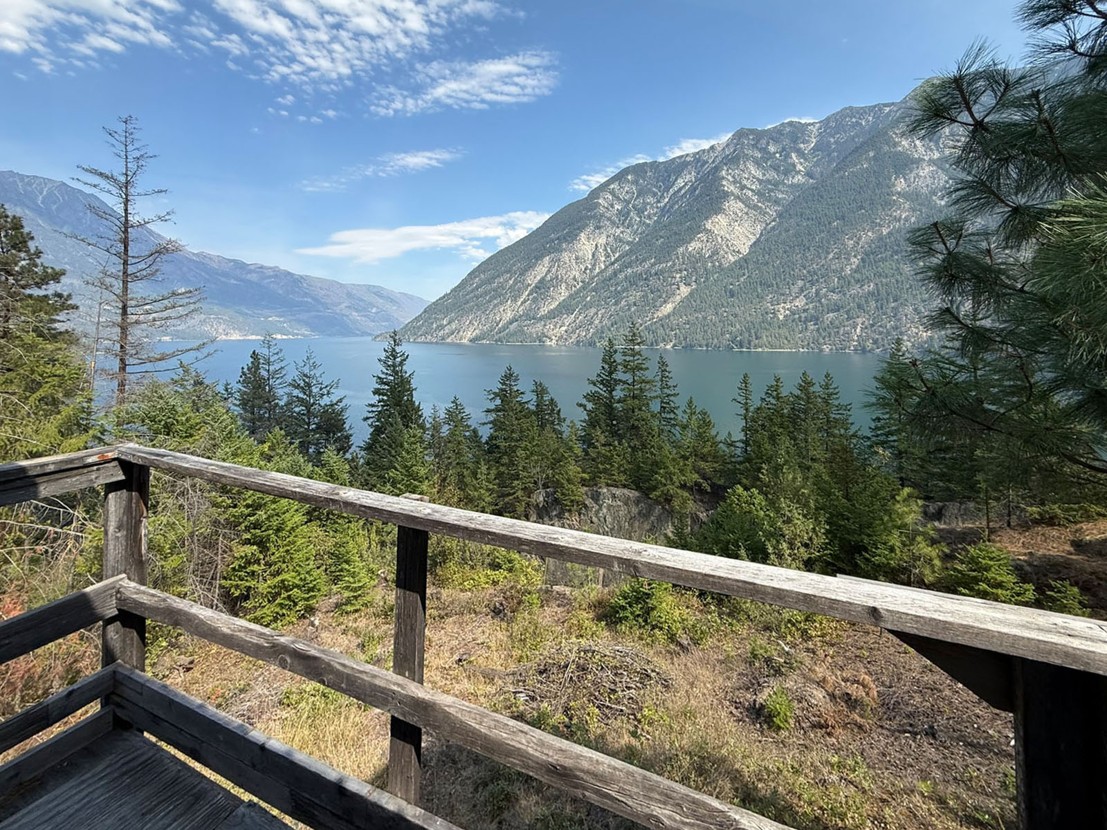
Off-grid & private lake view property at Ponderosa Estates overlooking spectacular Anderson Lake. The 2-bedroom cabin offers approximately 780 sq. ft. on the main level + an unfinished ground-level basement with excellent potential for storage, recreation or further development.
ALL SHOWINGS BY APPOINTMENT
 +33 photos
ALL SHOWINGS BY APPOINTMENT
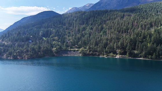
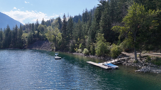
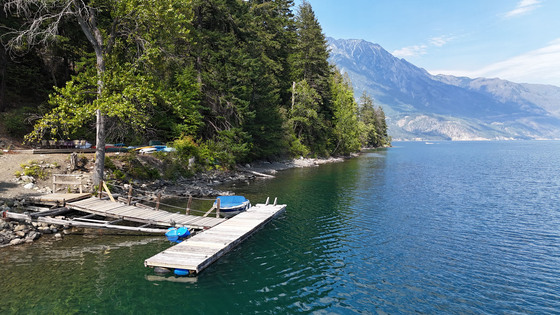
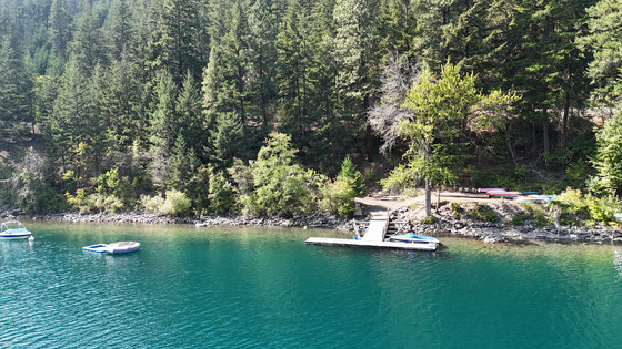
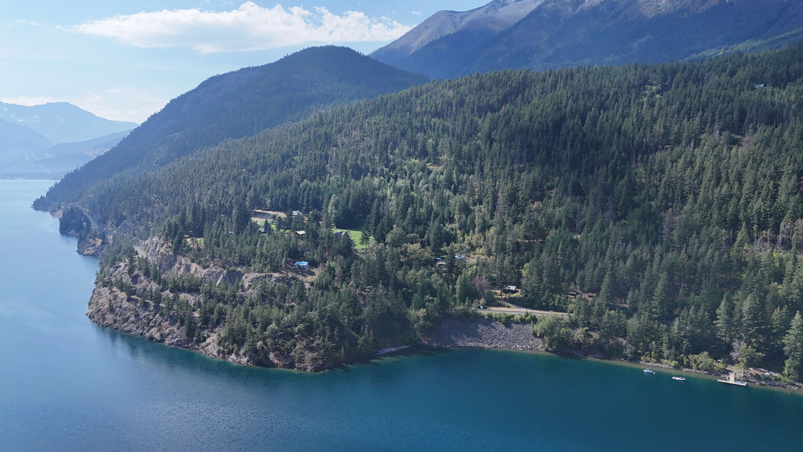
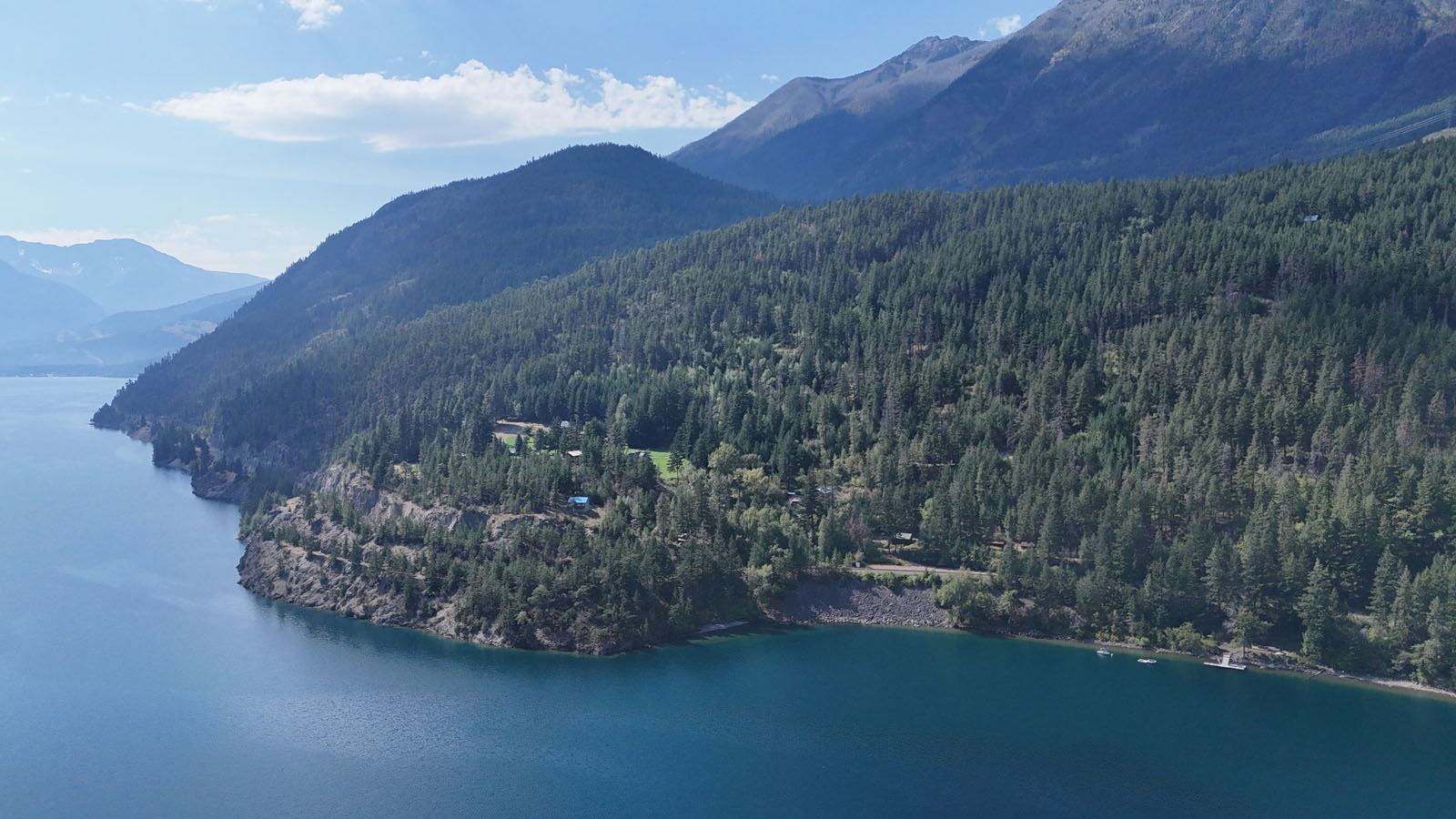
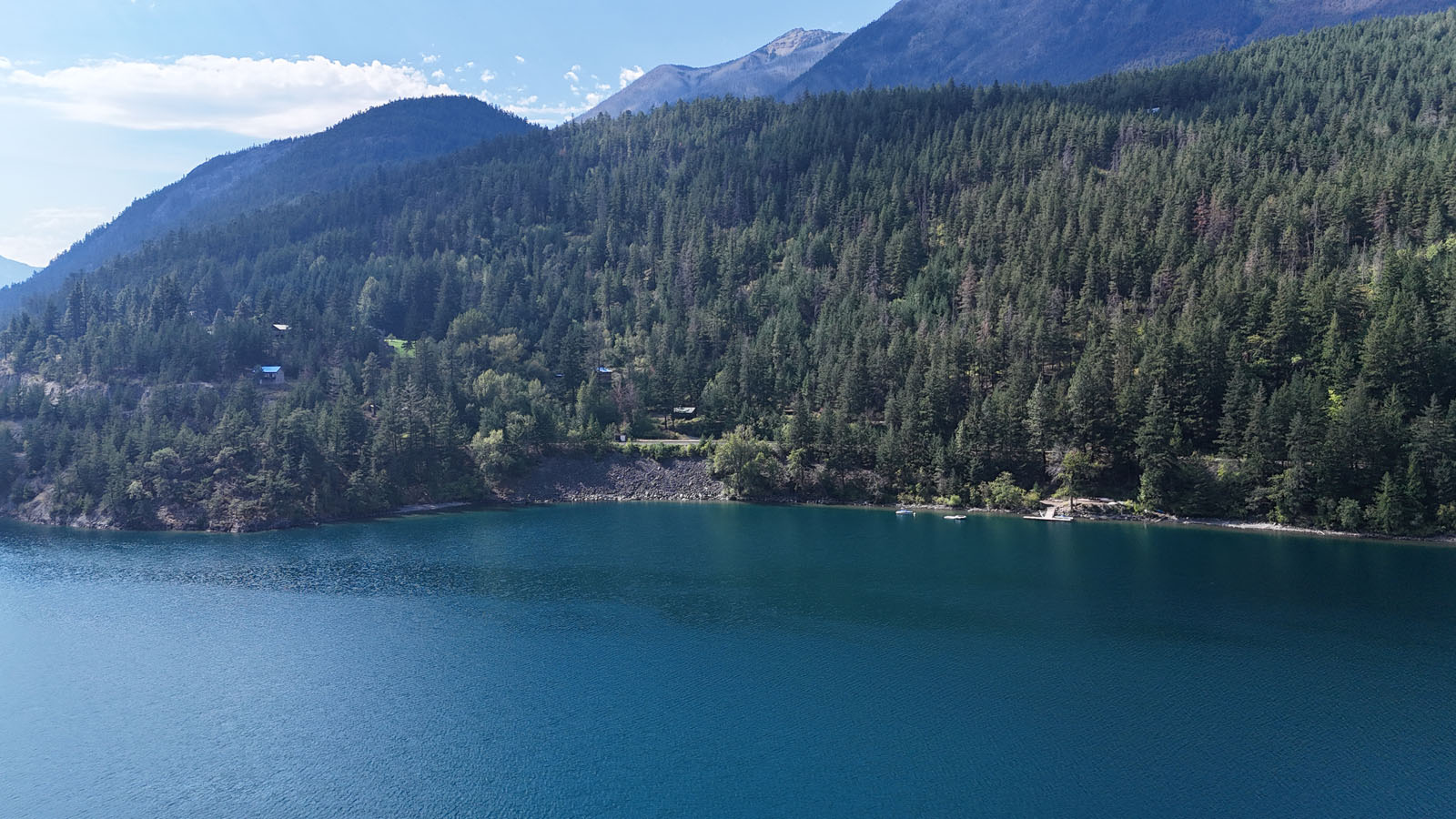
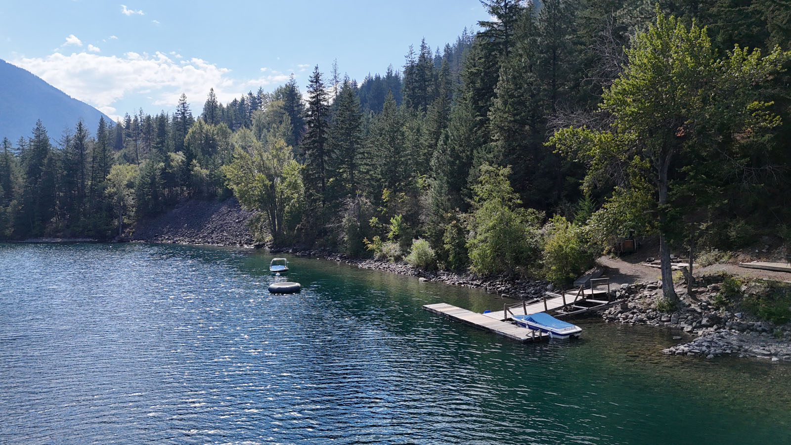
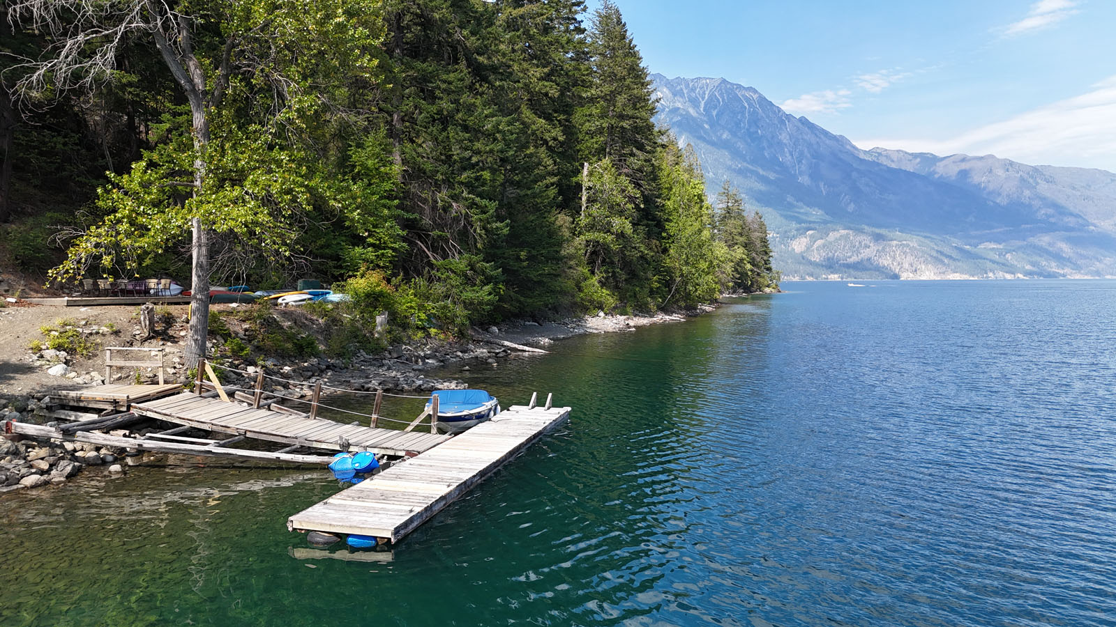
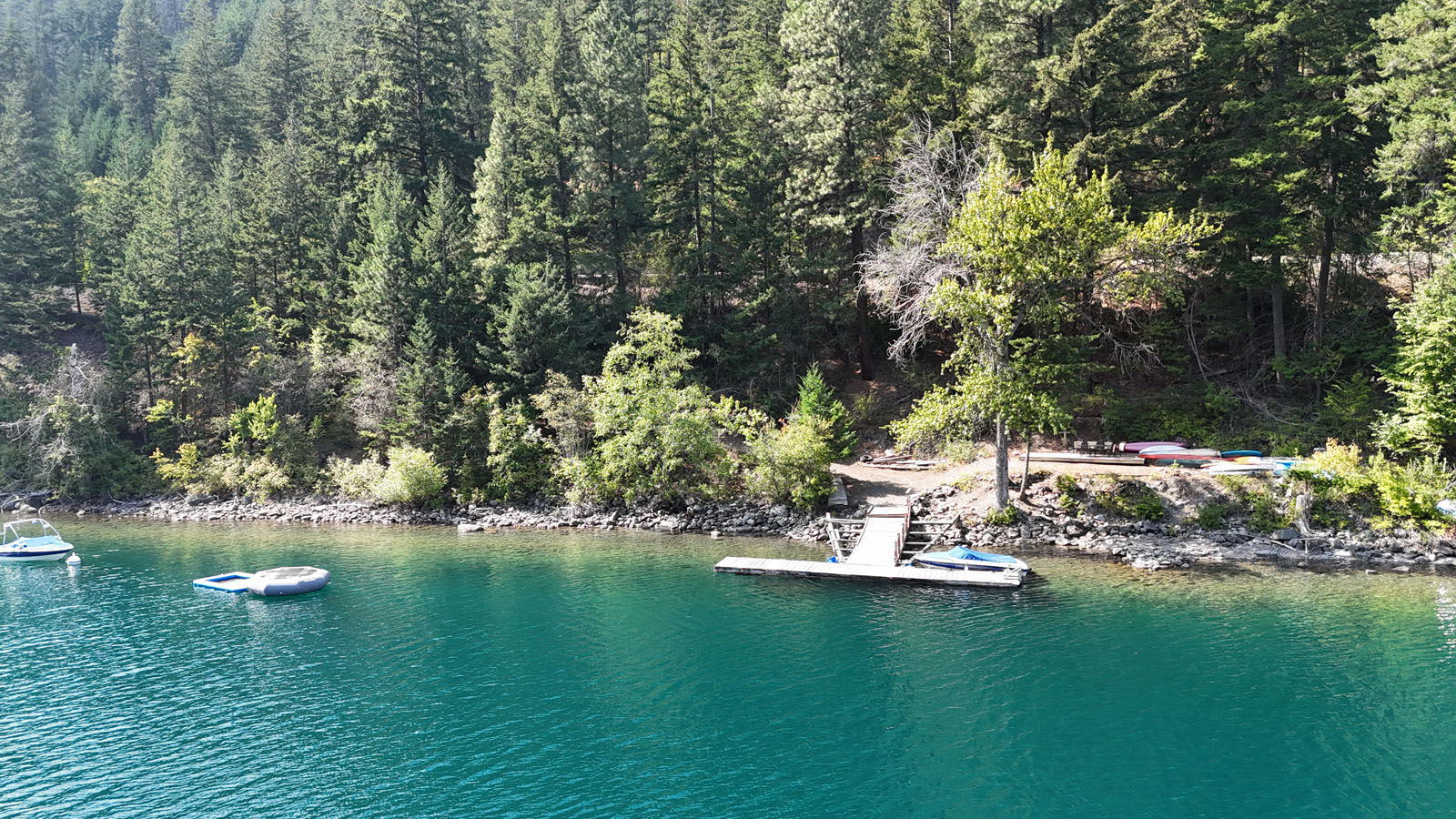
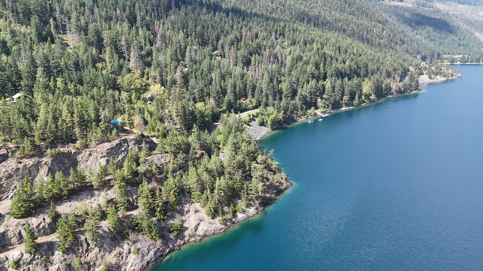
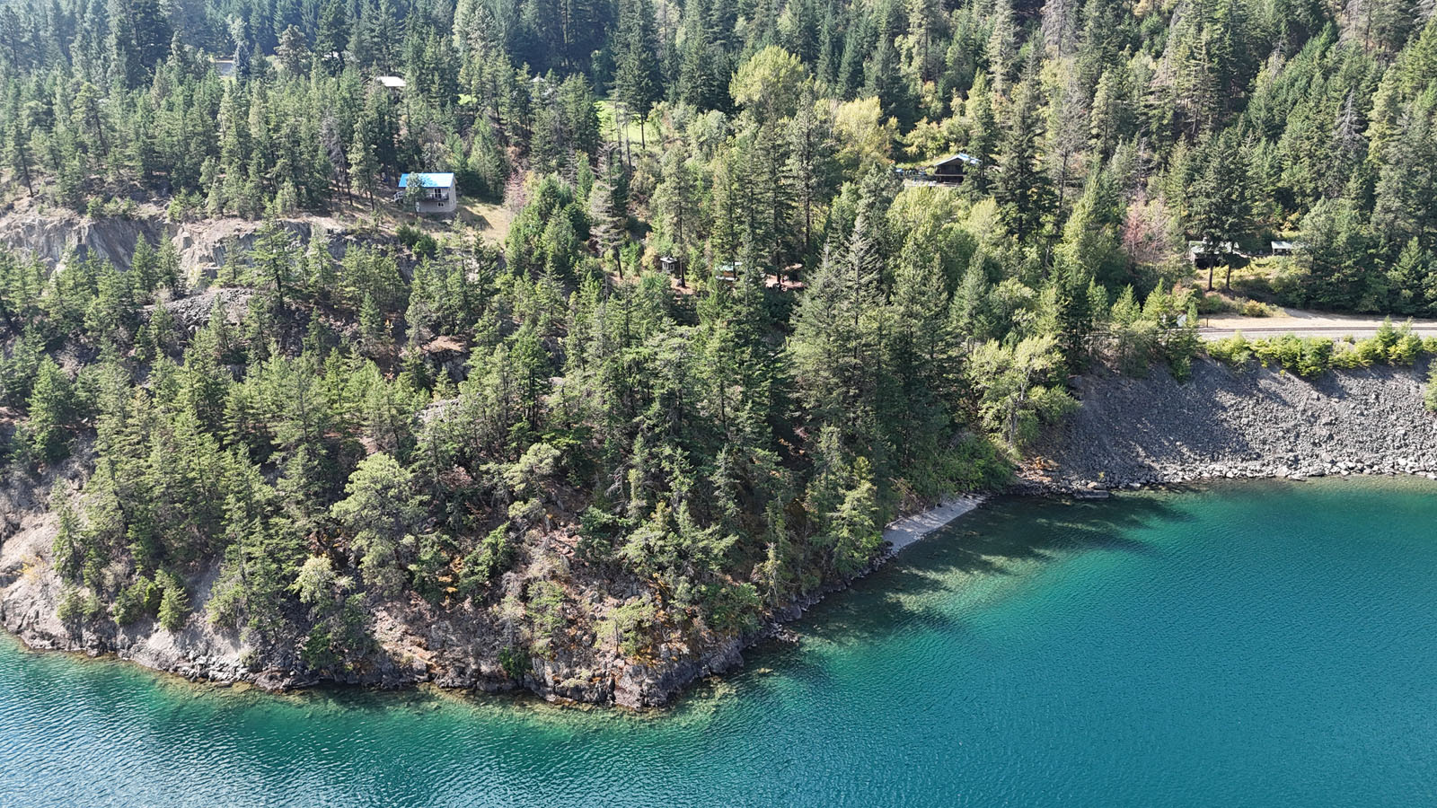
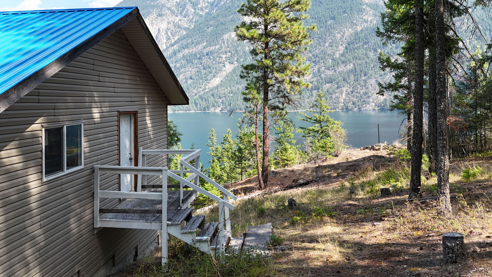
Enjoy lake life at Ponderosa Estates, a unique 26-lot bare land strata community on beautiful Anderson Lake approximately 1 hour and 35 minutes from Whistler. This lake view cabin sits on its own privately held 0.56-acre strata lot, with a shared dock and beach area just steps away and amazing views of the lake and surrounding Coastal Mountains.
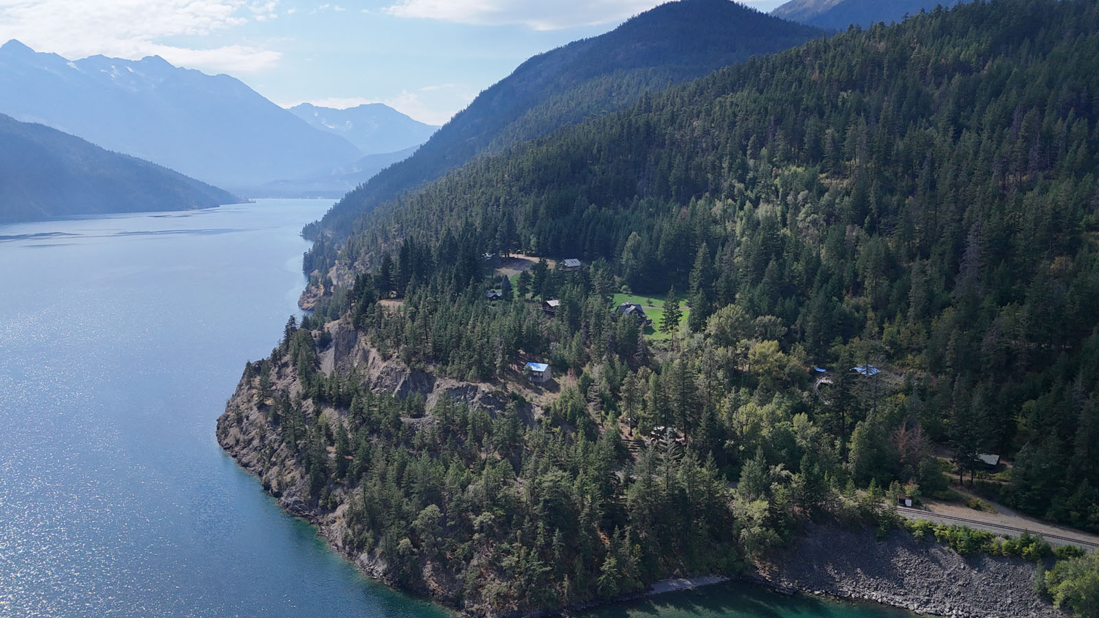
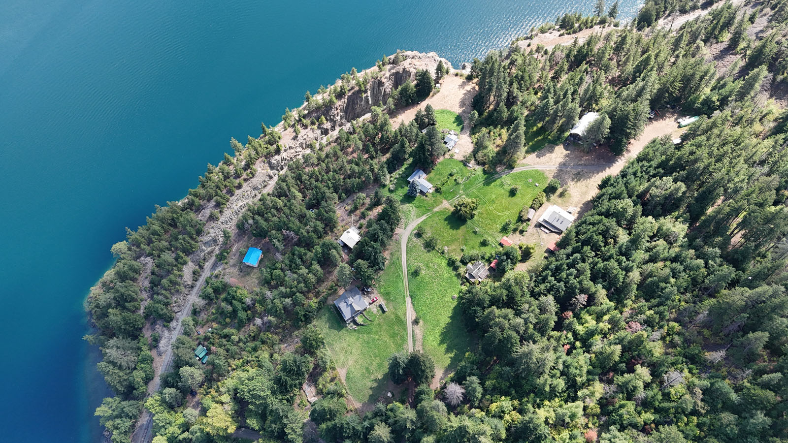
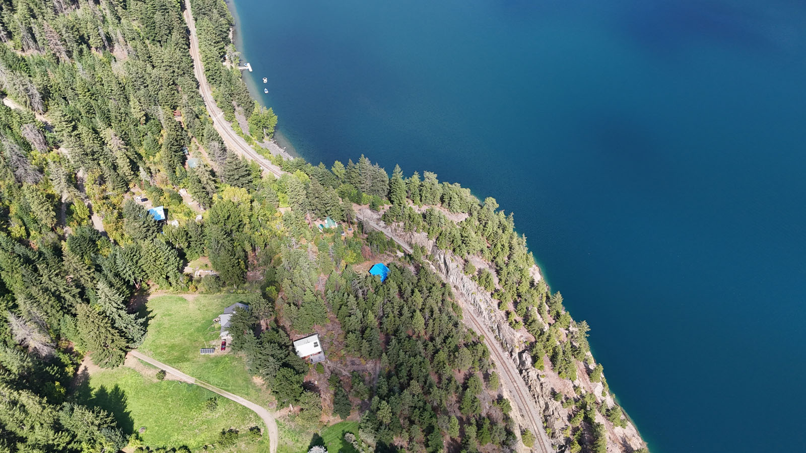
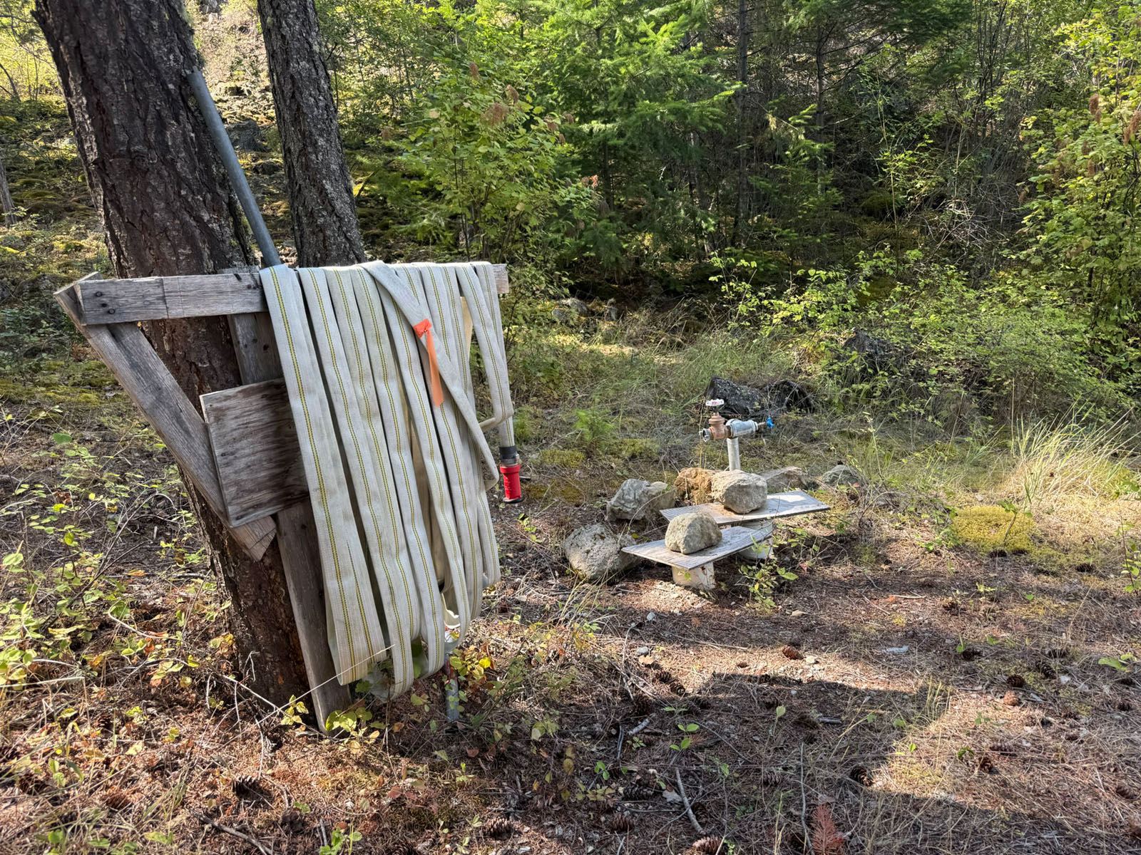
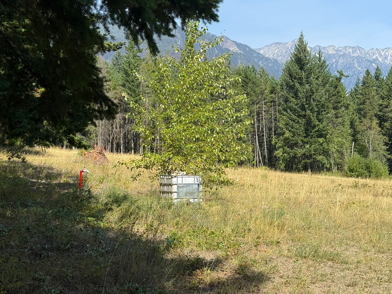
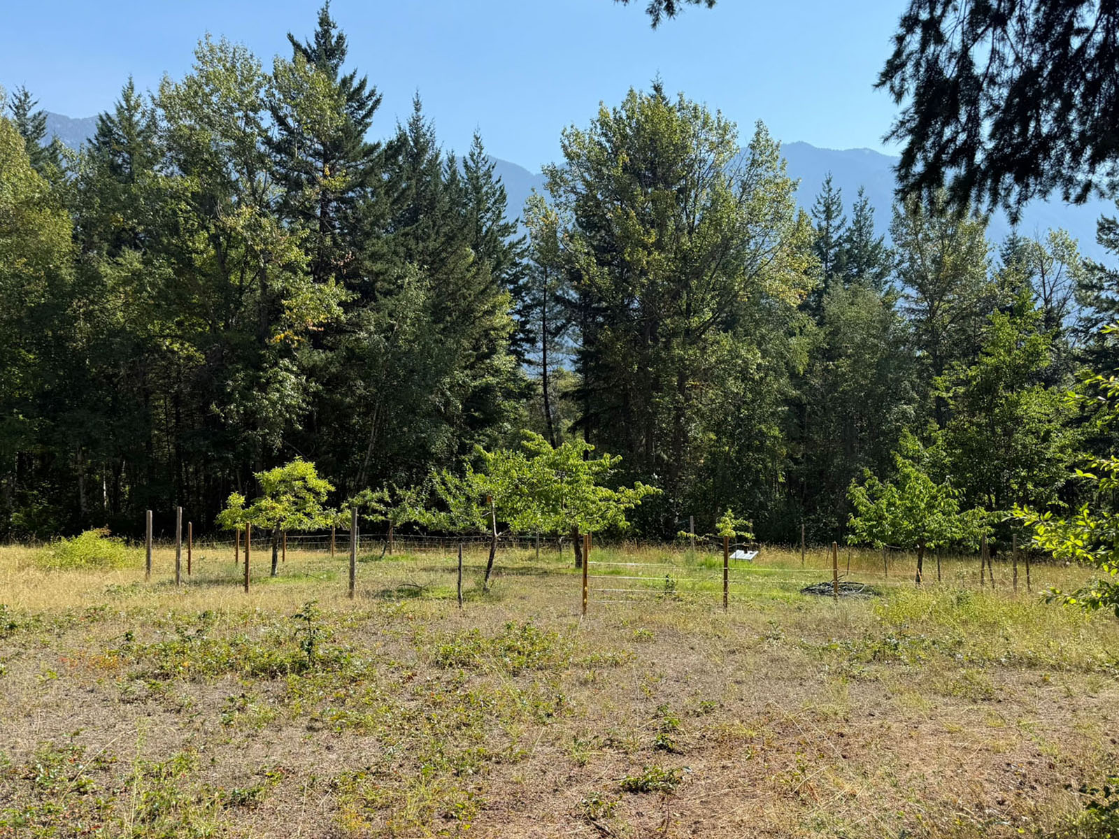
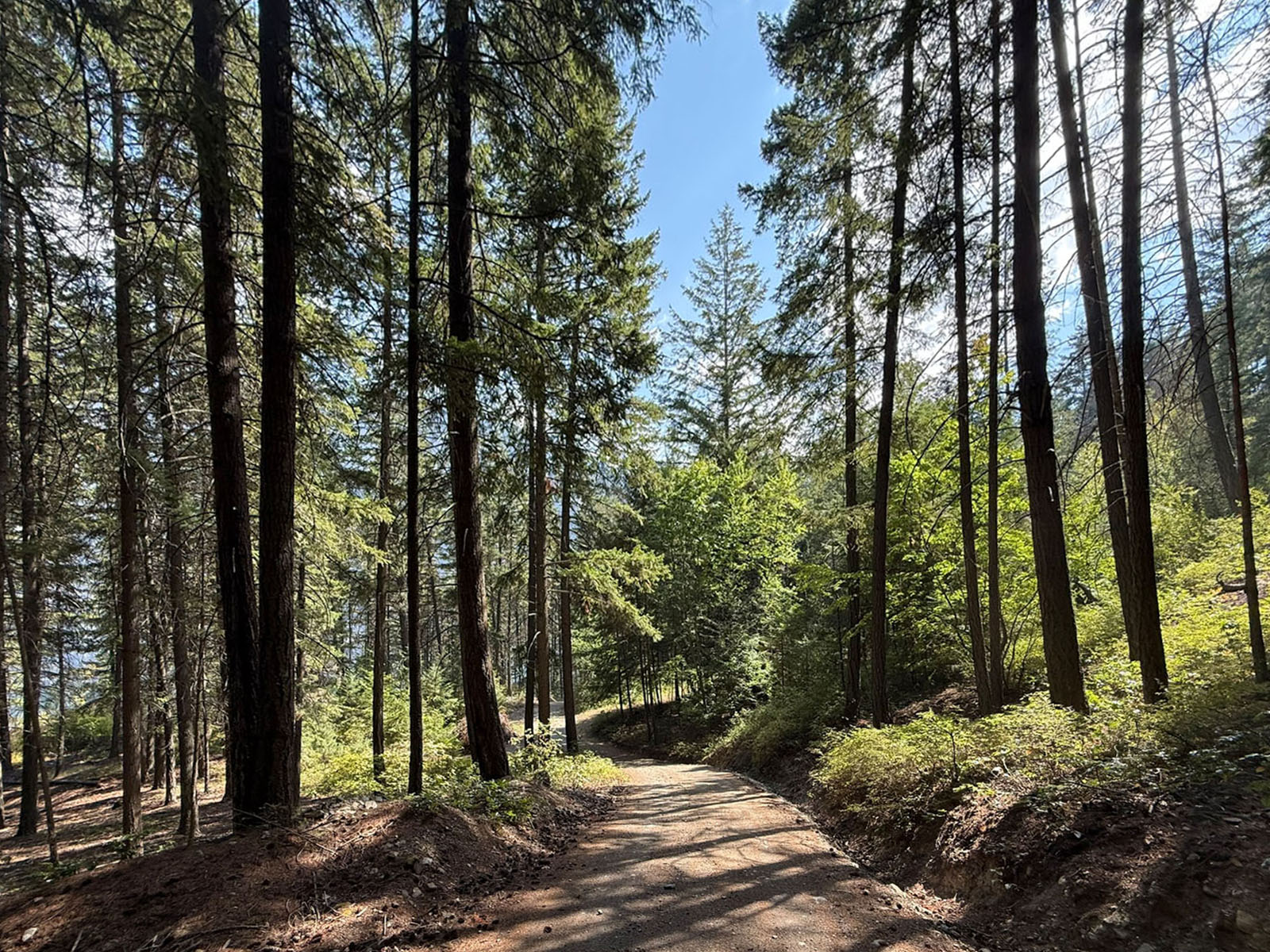
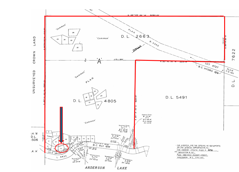
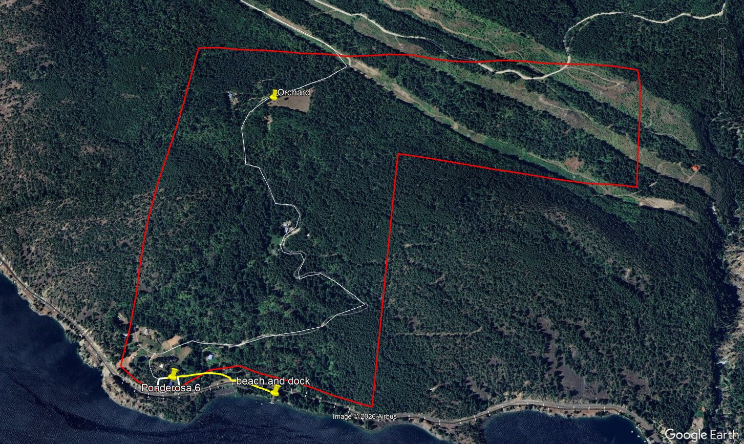
In addition to your privately held lot and cabin, Ponderosa Estates includes more than 300 acres of forested land shared among only 26 properties with decades of forest management and FireSmart work completed. Within the common land is a nice open meadow with orchard, and an internal road that winds down from the Highline road thru the lush forest to the 26 properties that are set up in 3 clusters. Lot 6 is part of the lakeside cluster along the lake.
Anderson Lake which can be accessed via the shared dock and beach area offers excellent boating, swimming and fishing in a spectacular mountain setting. The lake itself is approximately 21 km long and 1.4 km wide with very few private properties.
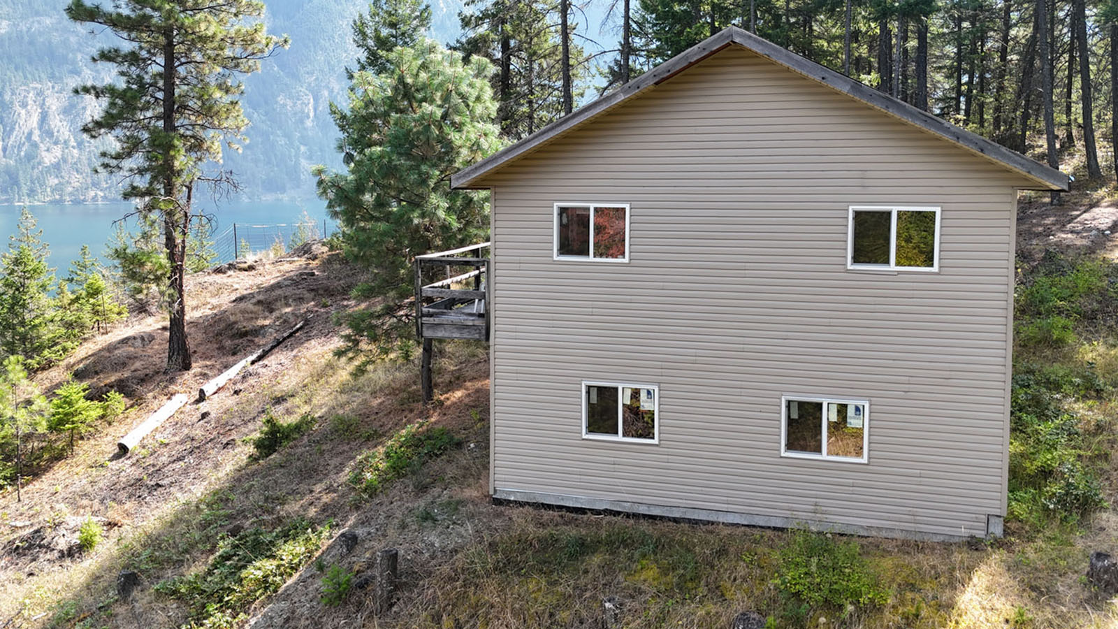
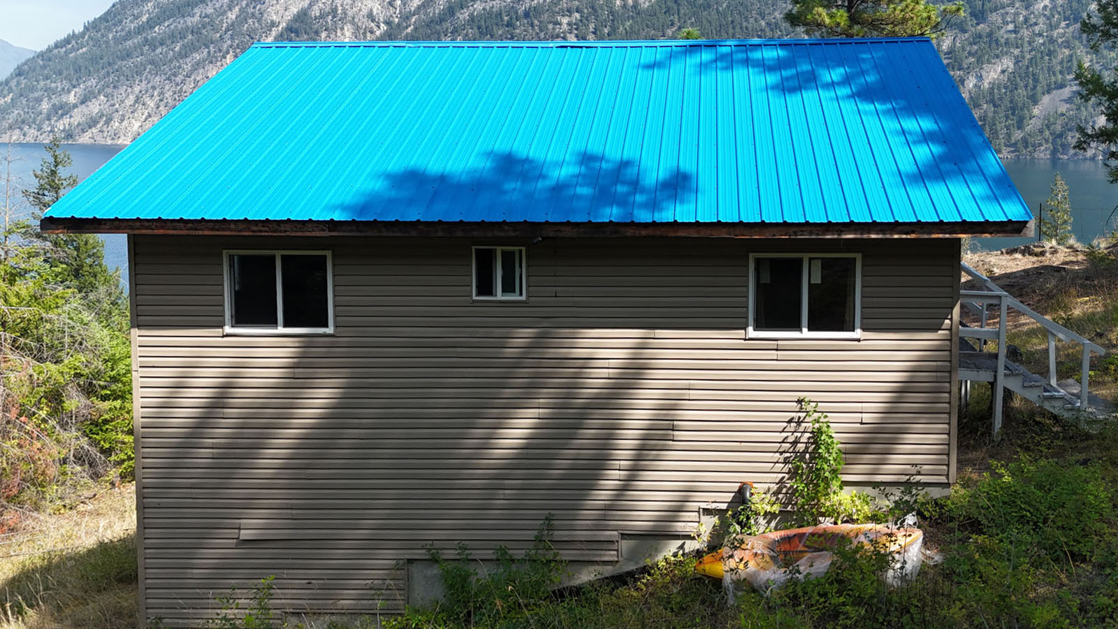
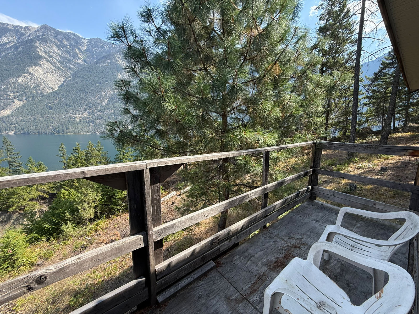
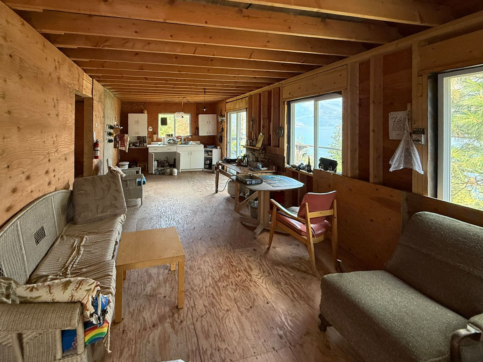
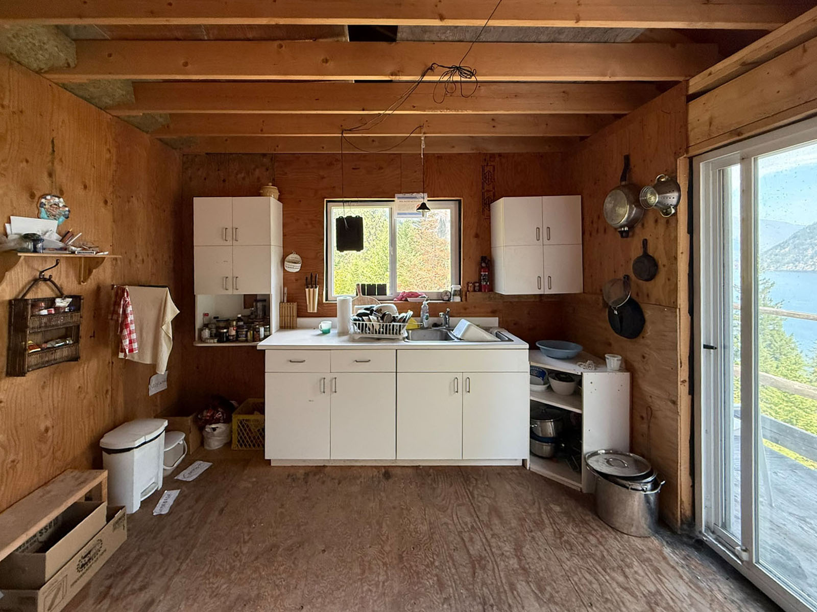
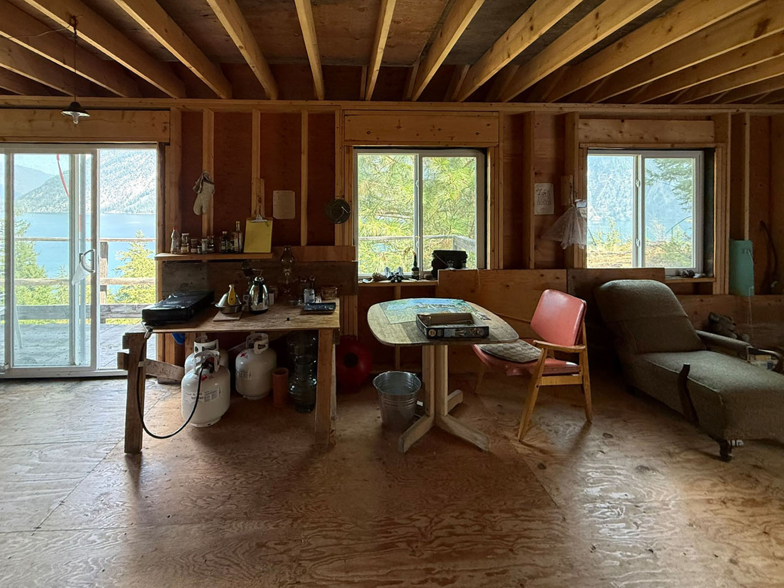
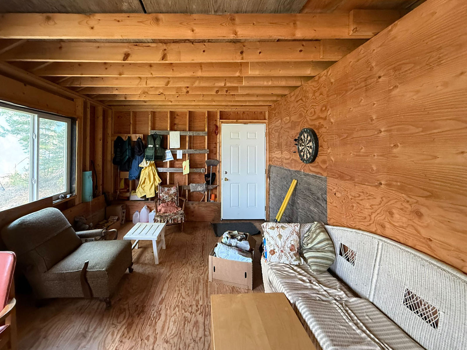
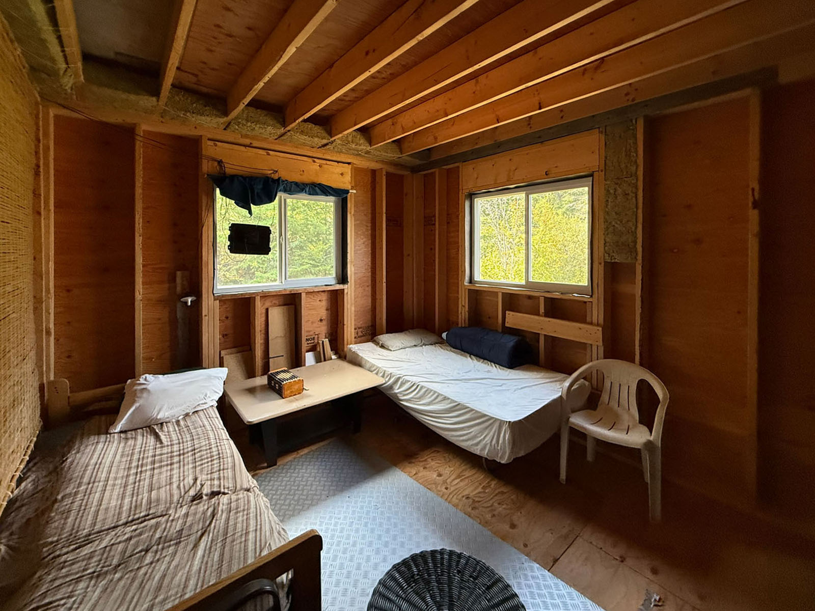
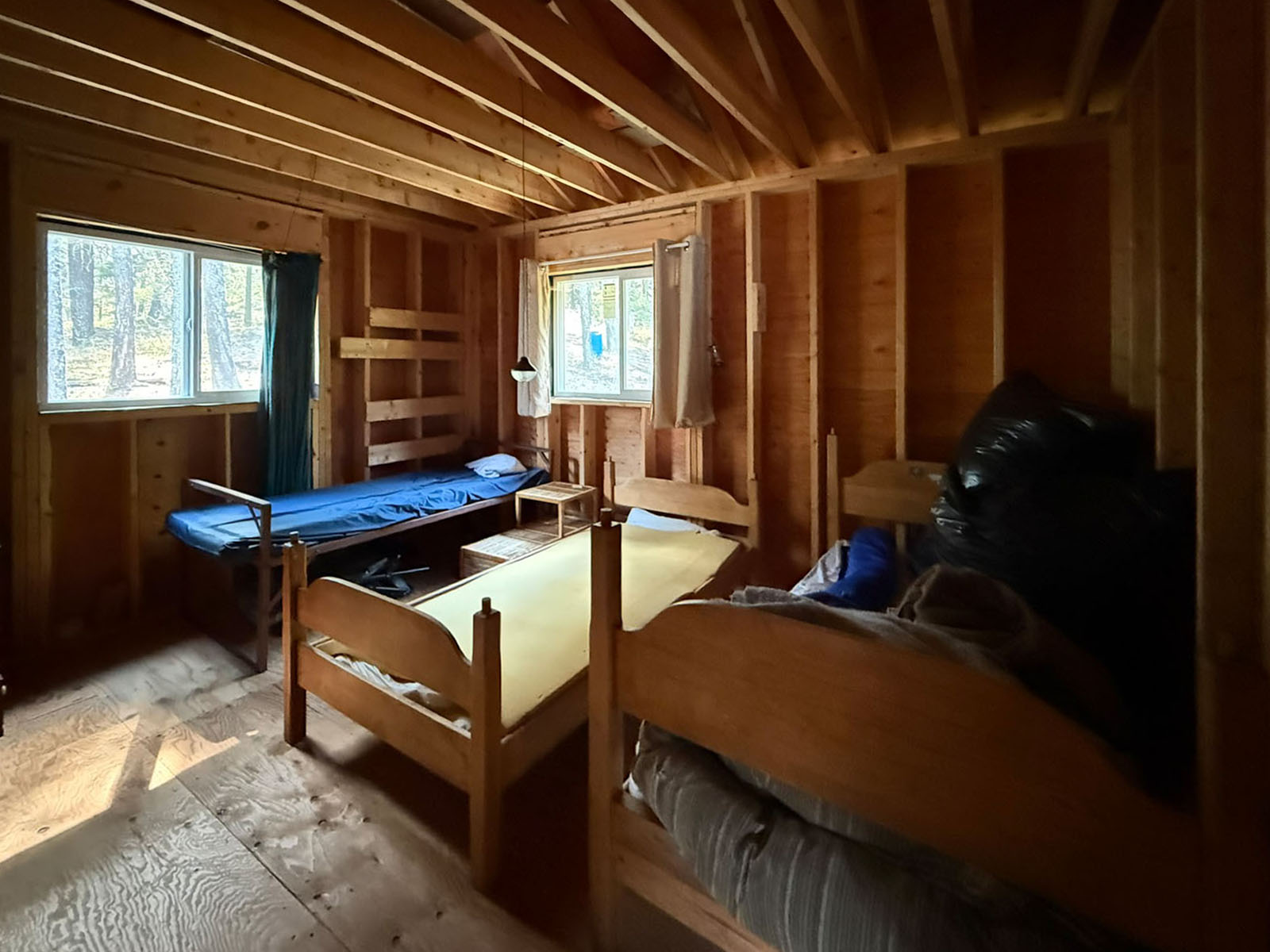
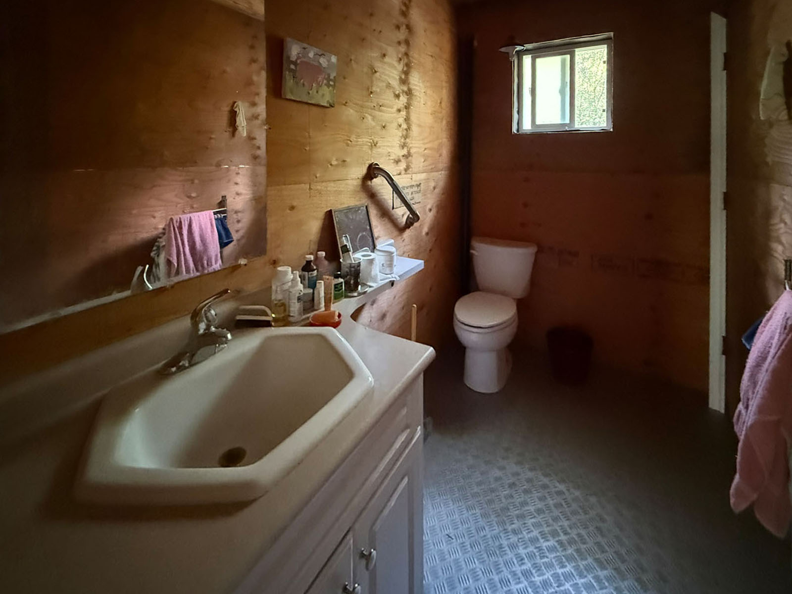
The cabin has approx. 780 sq. ft. on each level. The main floor features 2 bedrooms and a half bathroom, an open living and basic kitchen area with a small deck. The interior is framed but remains unfinished, with no insulation, wiring or drywall. However, it has been used for 15+ years as is as a recreational property.
The lower level is a full unfinished ground-level basement with separate entrance and high ceiling. One option I see that fits market demand and use is to covert the lower level it into a storage area with gear room and putting in a garage door and using it for toy storage etc. Or if more living space is needed one could develop it into more living space.
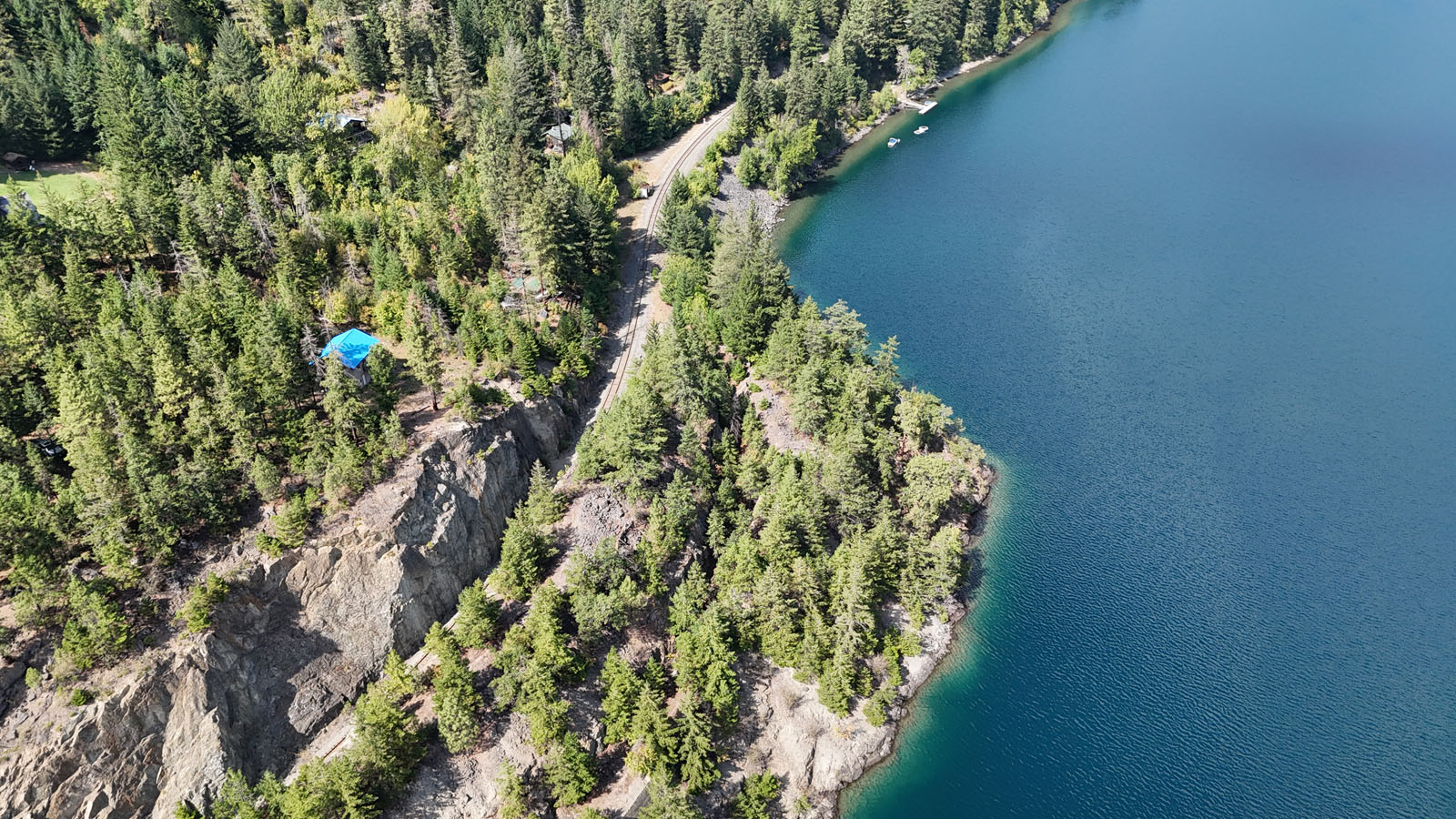
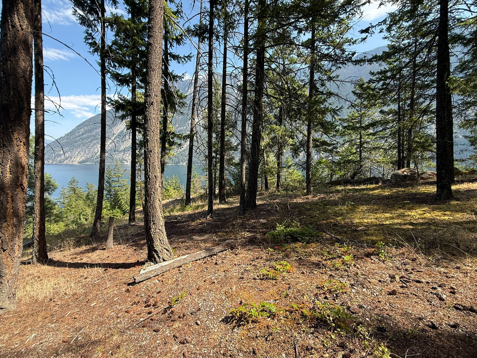
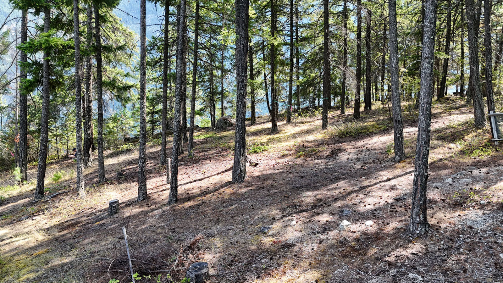
The lot is a mix of cleared land and some forest cover. There are no neighbors in sight just amazing lake views.
ALL SHOWINGS BY APPOINTMENT
3170 Ponderosa Road - Anderson Lake, BC
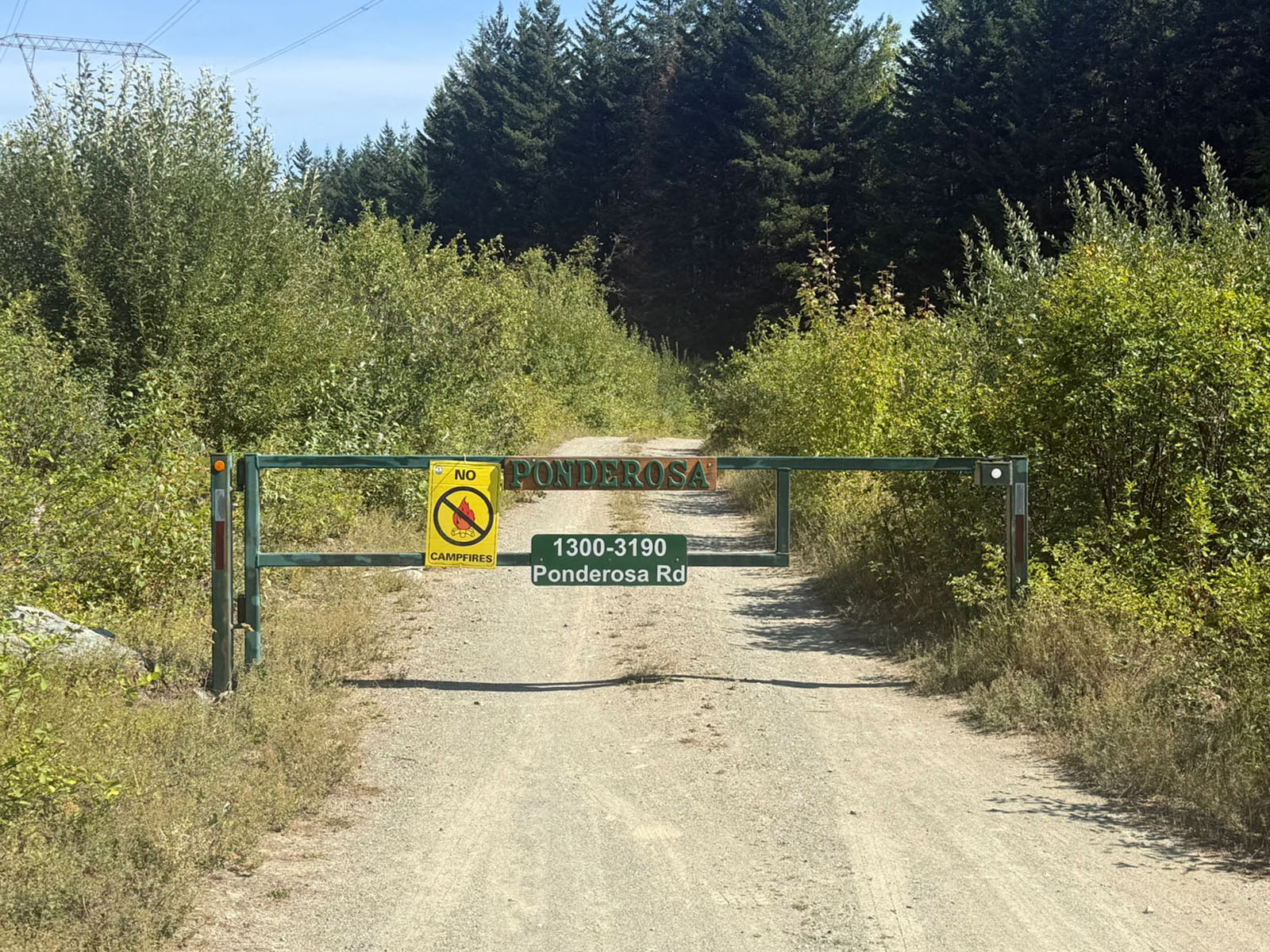
Off the Highline Road you cross over a section of Crown land and then into Ponderosa Estates. There is a gate just off the Highline Road on the Crown land and then a second gate approx. where you enter Ponderosa Estates.
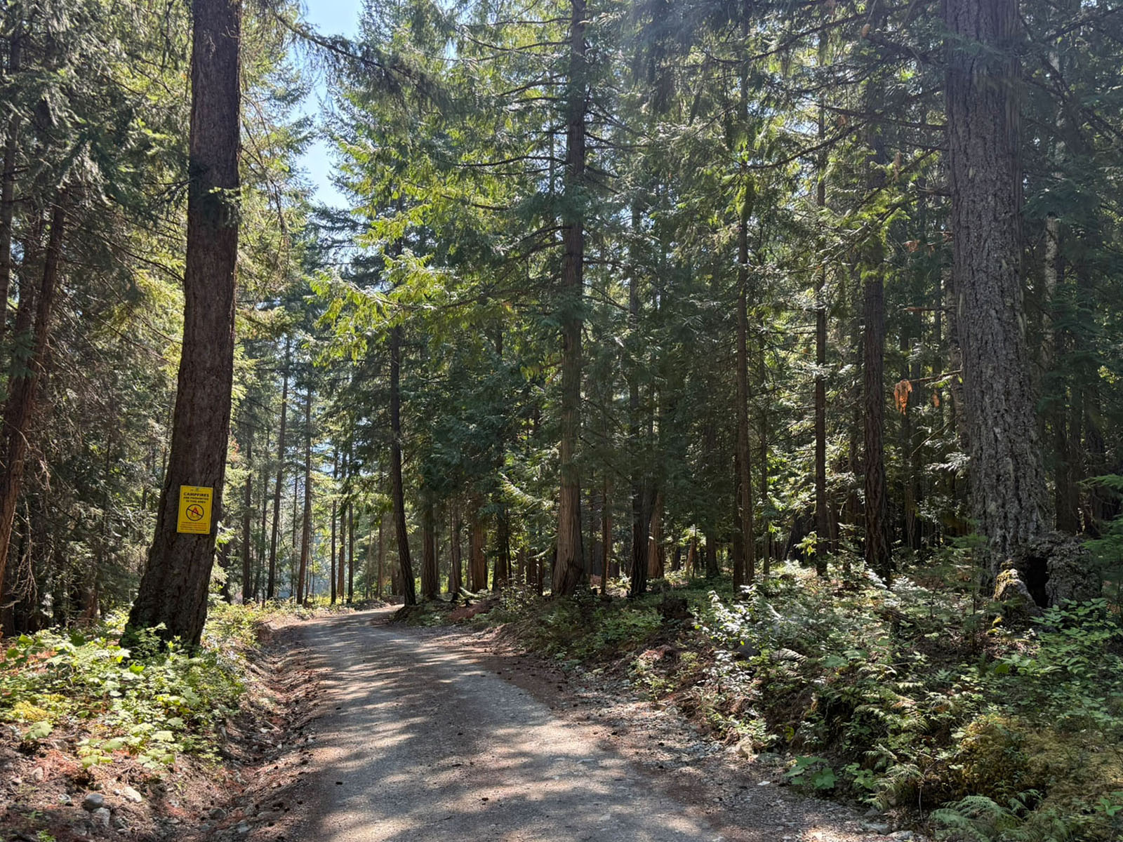
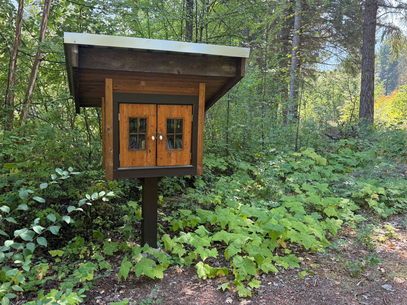
From the Highline Road it is approx. 3 km downhill to this cabin. You will drive under the power line right of way and into the forest and shortly after you will see a meadow on the left with a library stand/book exchange and orchard. Around here is a cluster of 6 properties, you then carry on down the hill about 1 km and pass another cluster of properties (7) on the right. Further down hill as you get closer to the lake there will be a fork in the road, you stay right whenever you see an option and you will come into the lower cluster of properties (13 of them). You will drive thru an open meadow with a few properties. Drive past a couple houses and look for a small road on the left just before the last house/cabin on the left, this is the access to Lot 6. Drive down here. There is pink survey tape marking the approximate property line.
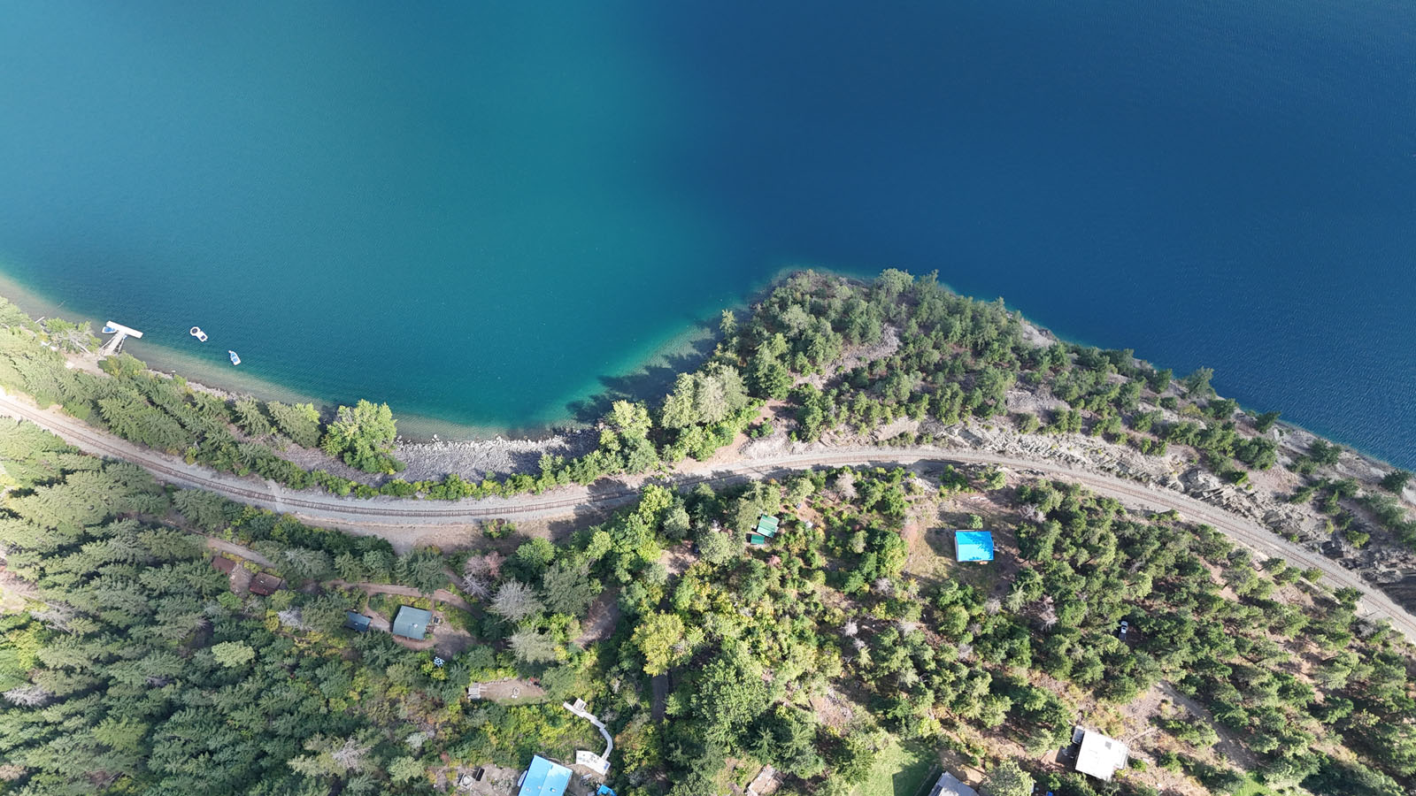
You will notice a walking trail on the non lake side of the property, you can follow this and walk to the lake/dock. You will have to cross the tracks at the designated spot and then thru a small forest tunnel to the dock and beach area.
Anderson Lake is a long, deep mountain lake situated between Pemberton and Lillooet in the southern Coast Mountains of British Columbia. The lake stretches approximately 21 km in length, averages about 1.4 km in width and covers roughly 28.6 sq. km. It is exceptionally deep, with an average depth of approximately 140 metres and a maximum depth reported at approximately 215 metres. The lake occupies a steep-sided, glacially formed valley surrounded by the Bendor and Cadwallader ranges to the northwest and the Cayoosh Range to the southeast, creating the dramatic mountain setting characteristic of this part of the Coast Mountains.
The area sits in an interesting climatic transition between the wetter Coast Mountains and the much drier Interior. Anderson Lake lies partly within the rain shadow of the surrounding mountains, producing a noticeably warmer and drier climate than areas farther west toward Whistler. Anderson Lake is characterized as having a semi-arid microclimate, with generally hot, dry summers while still experiencing periods of coastal weather and cold continental air during winter. D'Arcy, at the south end of the lake, receives substantially less annual precipitation than Whistler despite being relatively close geographically.
The lake has a long history as a transportation corridor. In the mid-1800s it formed part of the historic Douglas Road/Lakes Route between the Lower Mainland and the Fraser Canyon goldfields. Today Anderson Lake remains lightly developed, with D'Arcy at its southern end, Seton Portage at the northern end and scattered rural, recreational and First Nations properties along the shoreline.
D'Arcy is the closest community to the property and is located at the south end of Anderson Lake, approximately 45 km northeast of Pemberton. D'Arcy is a small rural community rather than a full-service town, but provides several useful local amenities. Local services include the N'Quatqua Central Service Station, with fuel available in the community, a local store, post office boxes, community hall, school. D'Arcy also has a public lakefront recreation area with a beach and boat launch.
Approximately one hour from the property area, Pemberton serves as the principal service centre for Anderson Lake residents travelling south. Located beneath Mount Currie in the Coast Mountains, Pemberton is a full-service mountain community with grocery stores, fuel, restaurants, cafés, retail shops, hardware/building supplies, accommodations and a wide range of professional and community services. The Pemberton Valley Supermarket provides full grocery service, while the community also has hardware/building supply outlets and numerous locally owned shops.
Pemberton is also an established four-season recreation centre with extensive hiking and mountain biking trails, backcountry skiing, snowmobiling, golfing, paddling and river recreation nearby. The Pemberton and District Community Centre includes a fitness centre, library and community facilities, while One Mile Lake and numerous parks, trails and recreation facilities are located throughout the valley. Whistler is approximately another 30 minutes south of Pemberton, putting one of North America's major resort communities within roughly 1 hour and 30 minutes of the property, depending on road conditions.
Vehicle access to the property is via the Highline Road from either D’arcy if coming from the south of Seton Portgage if coming from the north, also known historically as the Douglas Trail. This rugged mountain road follows the steep north/northwest side of Anderson Lake, high above portions of the shoreline, and provides the road connection between D'Arcy and Seton Portage. The Squamish-Lillooet Regional District identifies the Highline Road as the main access road between the two communities and although weather can play a factor it is open year-round.
The road is very different from a conventional paved highway. Portions are narrow, gravel, steep and exposed, with mountainous terrain throughout the corridor. It provides an important connection for residences and recreational properties along Anderson Lake, but drivers should travel according to seasonal and road conditions. From the property, access can therefore be approached from either D'Arcy/Pemberton to the south or Seton Portage/Lillooet to the north/east, giving the Anderson Lake corridor two directions of road access.
A railway line also follows the shoreline below portions of the Highline Road along Anderson Lake and in front of Ponderosa Estates. The line is now under CN control and continues through the Anderson Lake–Seton Lake corridor toward Lillooet. Passenger-related uses have included the local Kaoham Shuttle, which provided an important rail connection for the Seton Portage/Tsal'alh area, as well as Rocky Mountaineer's Rainforest to Gold Rush route, whose 2026 itinerary specifically identifies Anderson Lake and Seton Lake as highlights between Whistler and Quesnel. CN formally placed the rail corridor north of Squamish through Lillooet into its potential discontinuance process in July 2025, citing dramatically reduced traffic volumes and insufficient traffic to justify the investment required to maintain portions of the line. Under federal legislation, discontinuance involves a formal process and does not mean that it is happing for sure but it could be a nice value adder to have it removed and perhaps other uses to the rail line established. But for now limited train traffic does use the line.
Anderson Lake is an outstanding four-season recreation area, with the lake itself well suited to boating, fishing, water skiing, paddling and swimming, while the surrounding mountains provide extensive backcountry opportunities. The rugged terrain around D’Arcy, Seton Portage and the Bendor/Cayoosh ranges is popular for snowmobiling, ATVing, off-road motorcycle riding, hunting, hiking, mountain biking and backcountry skiing, with a mix of established trails, logging roads and less-developed wilderness routes. The historic McGillivray Pass trail is one of the better-known routes in the area, connecting the Anderson Lake side toward Bralorne and used for hiking, cross-country skiing and backcountry travel.
Winter recreation is particularly strong throughout the broader Pemberton–D’Arcy region. The D’Arcy/McGillivray Pass area is known for backcountry ski touring, while the wider Pemberton region is well known for snowmobiling and snowbiking, including access toward the Pemberton Ice Cap and numerous surrounding alpine riding zones.
The Highline Road itself also adds to the area's motorized recreation appeal, providing a dramatic gravel route between D’Arcy and Seton Portage that is used by off-road motorcycles and other backcountry travellers.
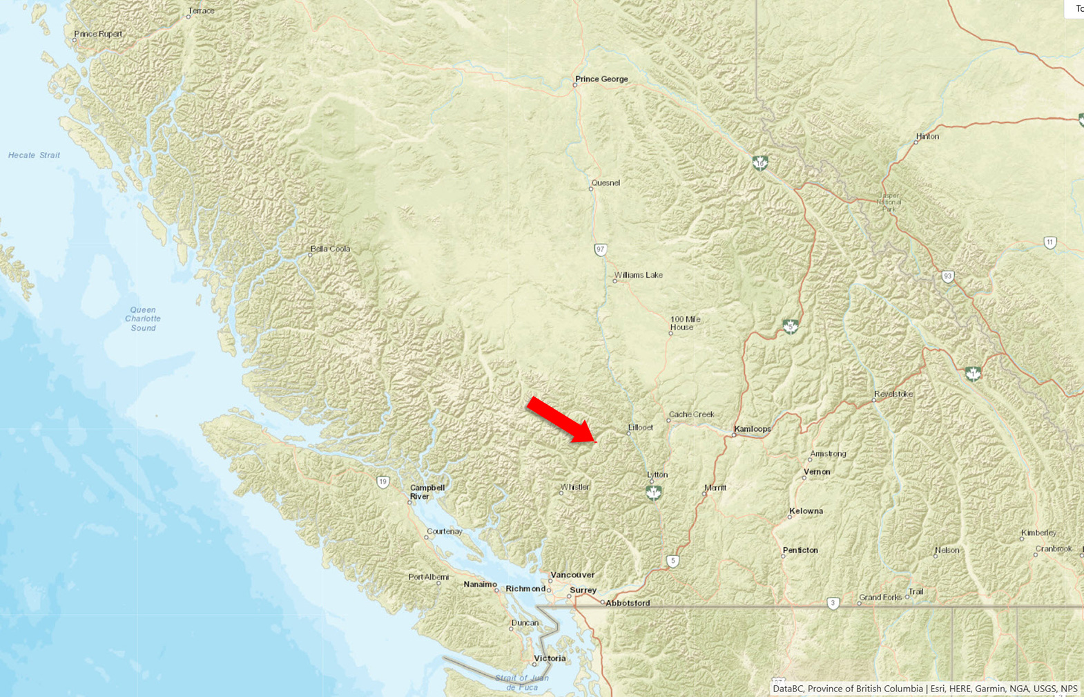
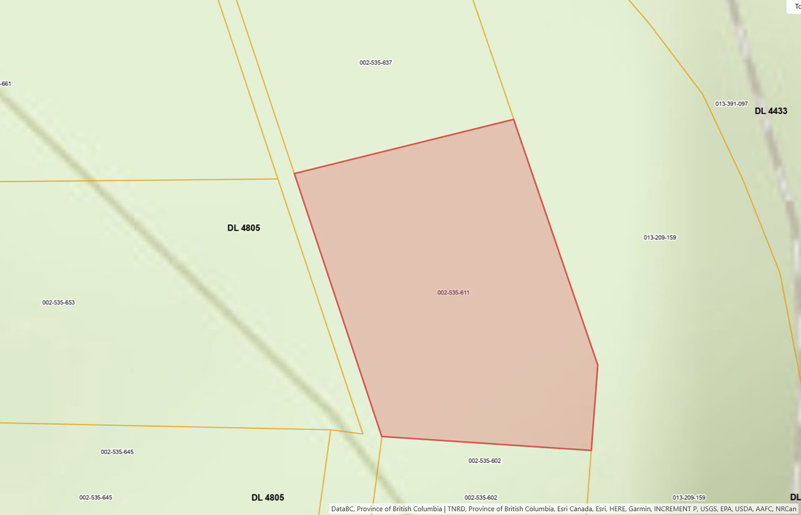
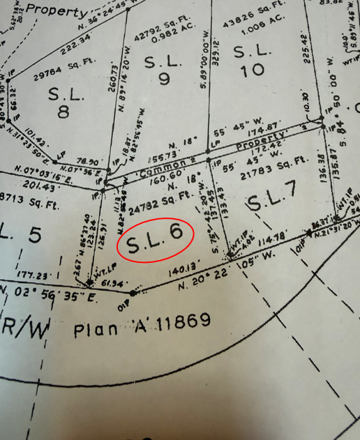
Please see maps and aerial photos, lines sketched in on aerial images are approximations only. Strata plan has dimensions.
50°36'10.34"N and 122°25'50.99"W
2-storey cabin with approximately 780 sq. ft. on main floor + an unfinished basement (ground level)
$946.44
Strata Fees: $1,200 per year
Ponderosa Estates (RR Pon)
STRATA LOT 6 DISTRICT LOT 4805 LILLOOET DISTRICT STRATA PLAN K270 TOGETHER WITH AN INTEREST IN THE COMMON PROPERTY IN PROPORTION TO THE UNIT ENTITLEMENT OF THE STRATA LOT AS SHOWN ON FORM 1
PID 002-535-611
 +10 maps
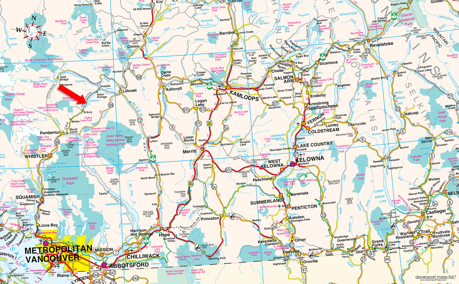

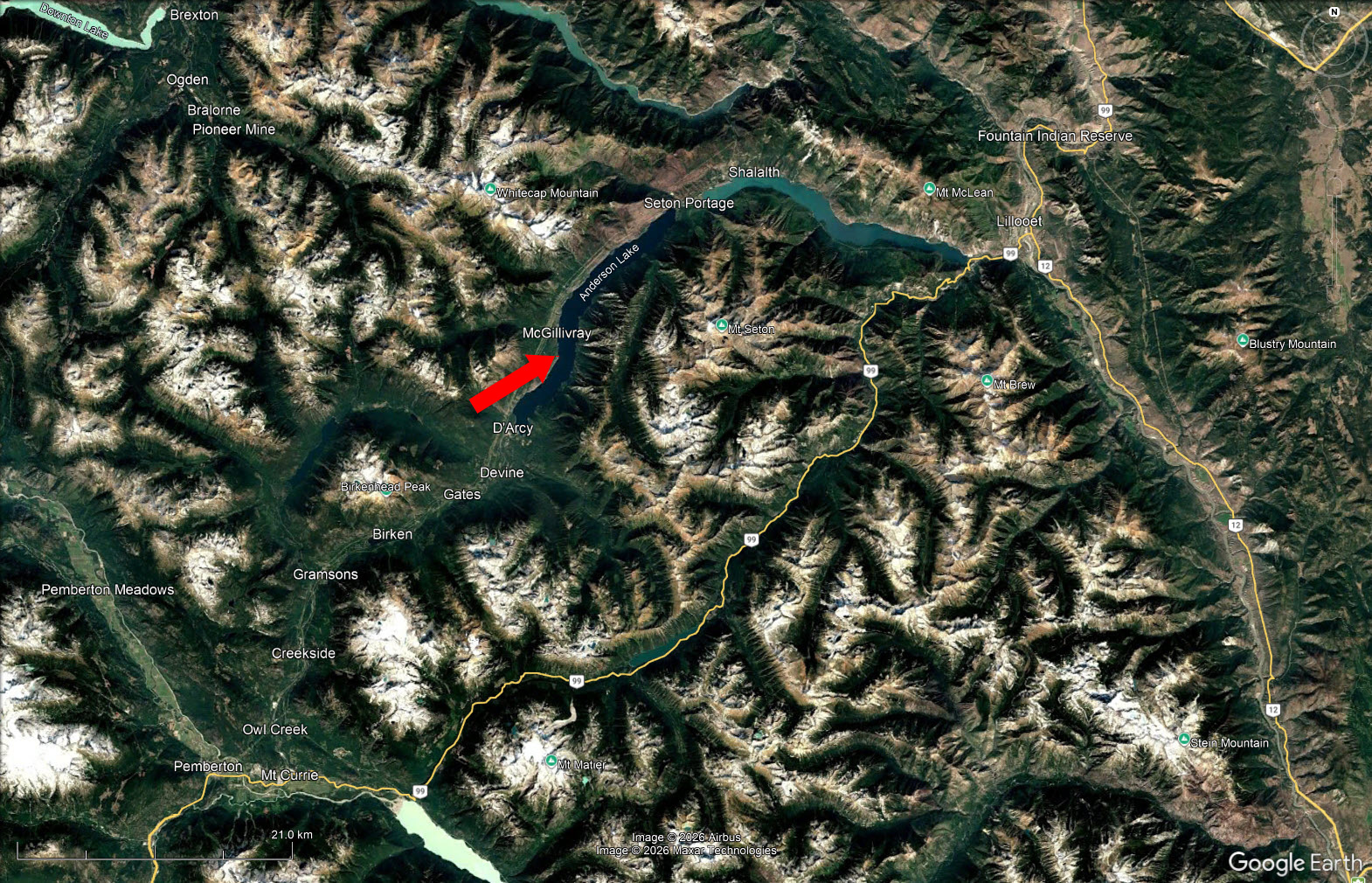
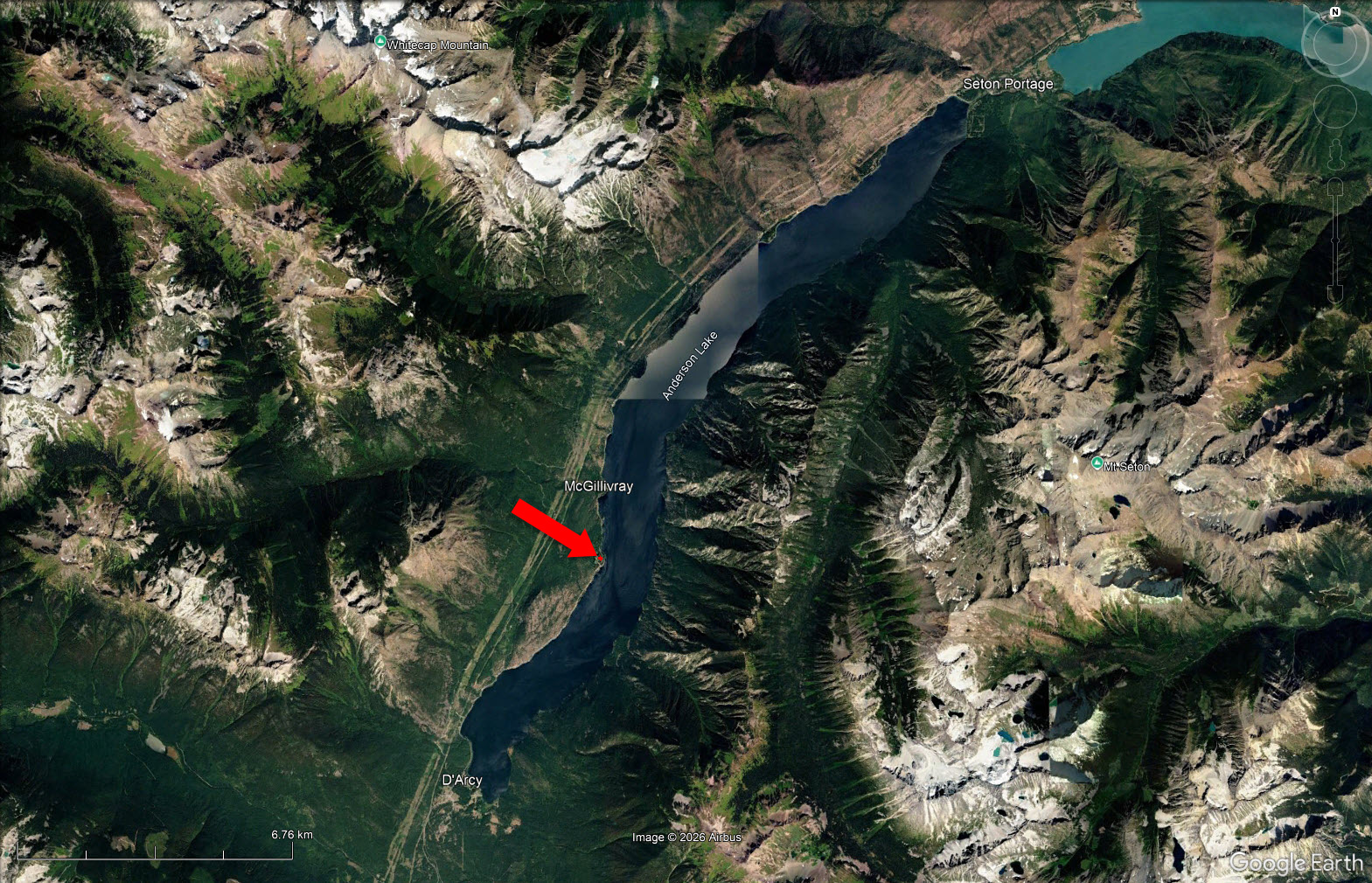
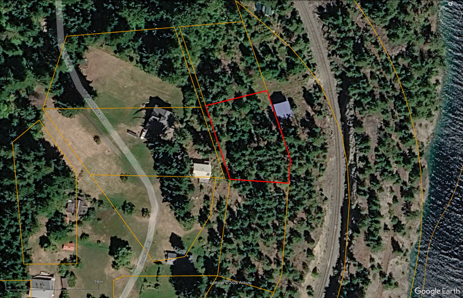
Our property descriptions and geographical information are taken from the BC Assessment Authority, Land Titles Office, government maps and other sources. While LandQuest® does not guarantee the information, we believe it to be accurate, but should not be relied upon without verification. This communication is not intended to cause or induce breach of an existing agency agreement.
Devine
 4℃
4℃
 3℃
3℃