


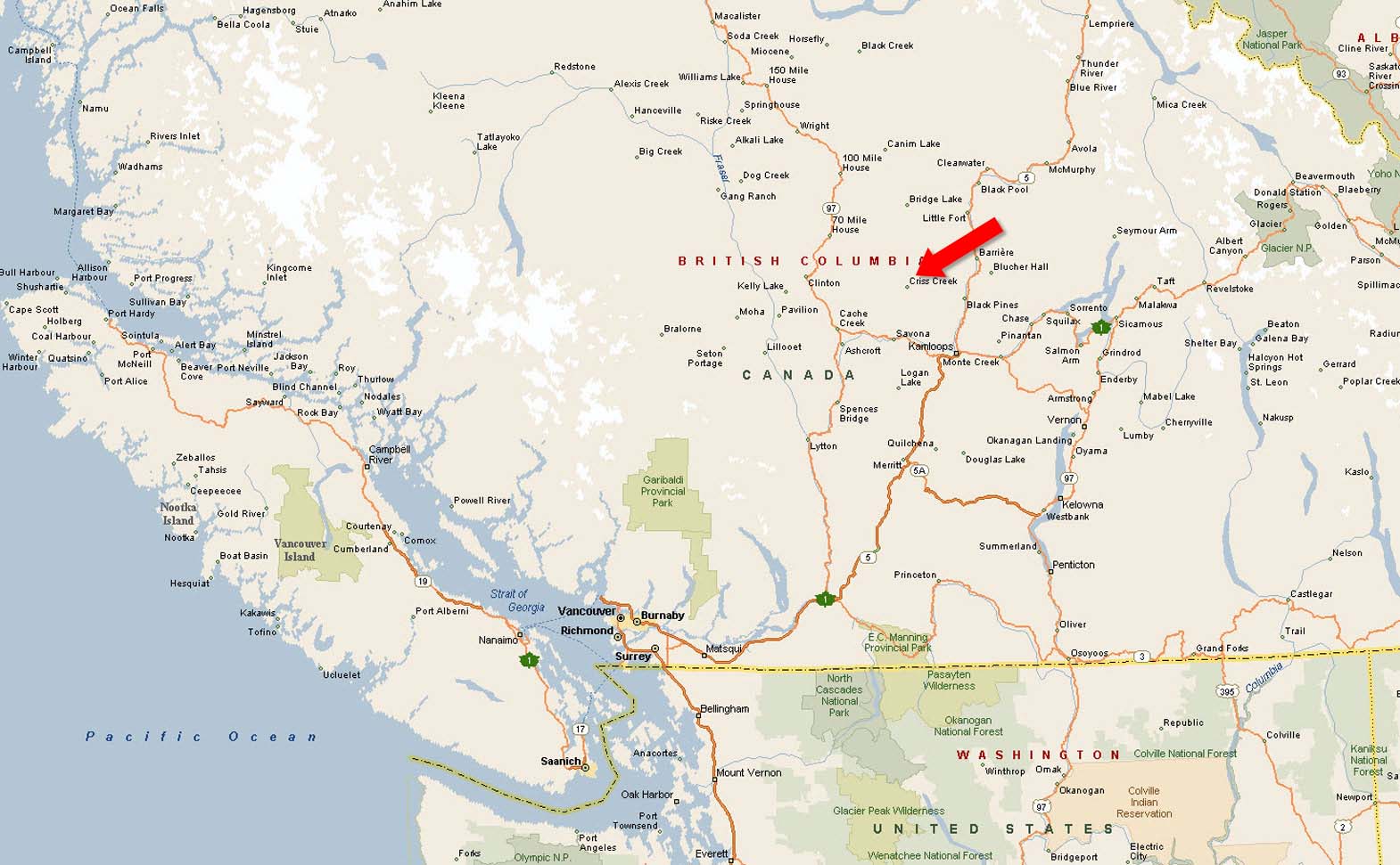
157-acres in Criss Creek, about 45 minutes northwest of Kamloops. Includes a 10-acre hayfield bordered by Mow Creek, as well as mature timber perfect for building. 2 irrigation water licences. Privacy, creek frontage, hay land and abundant water make this a rare homestead opportunity.
 +8 photos
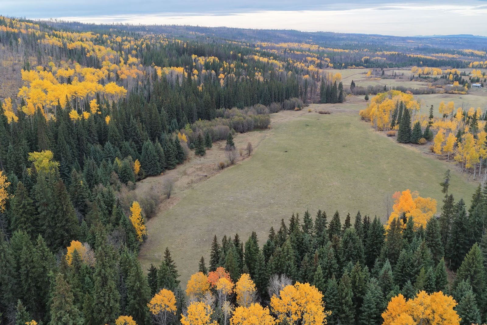
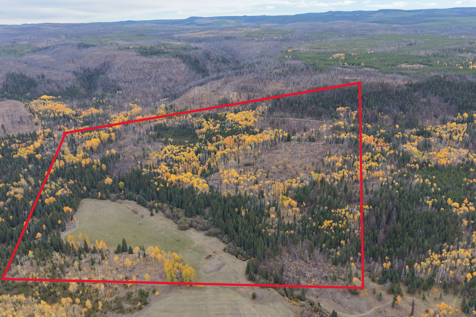
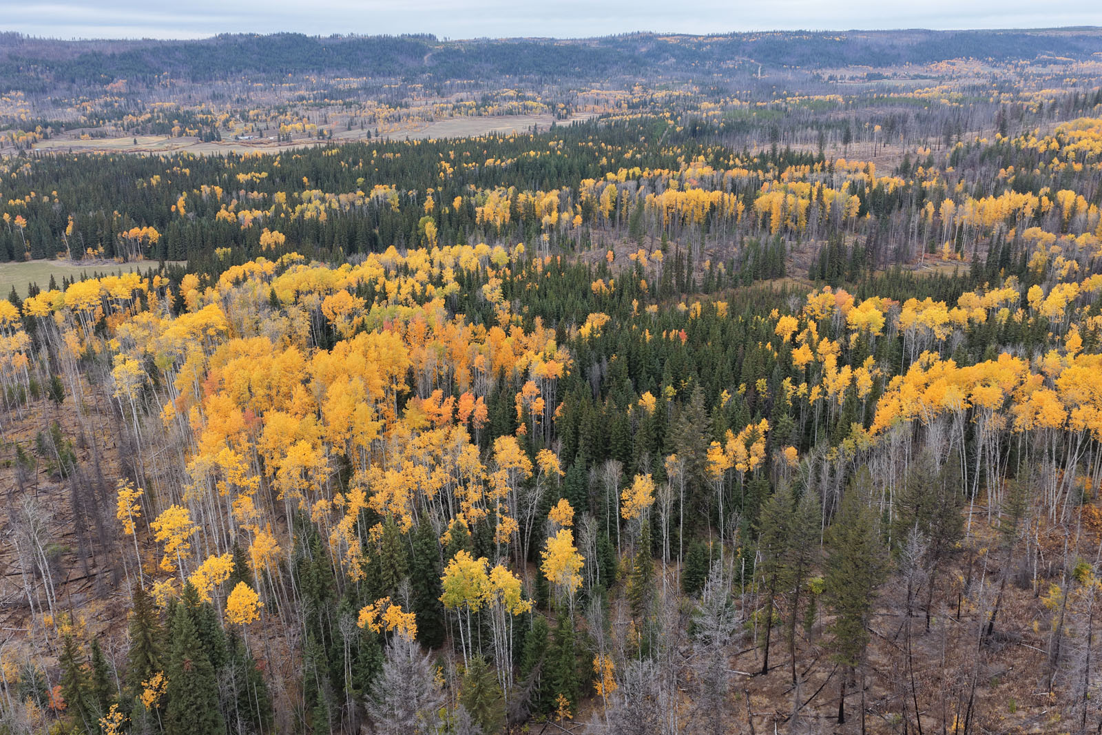
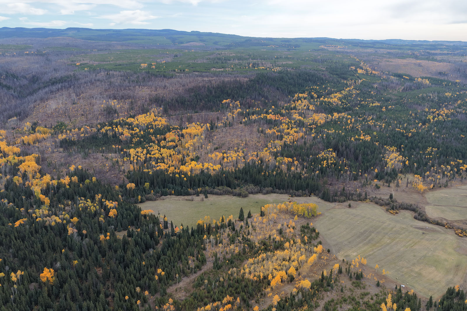
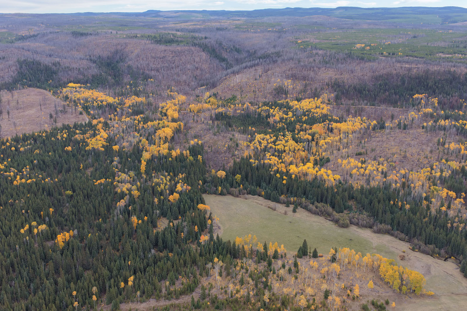
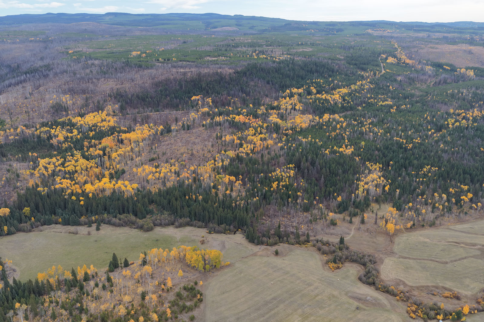
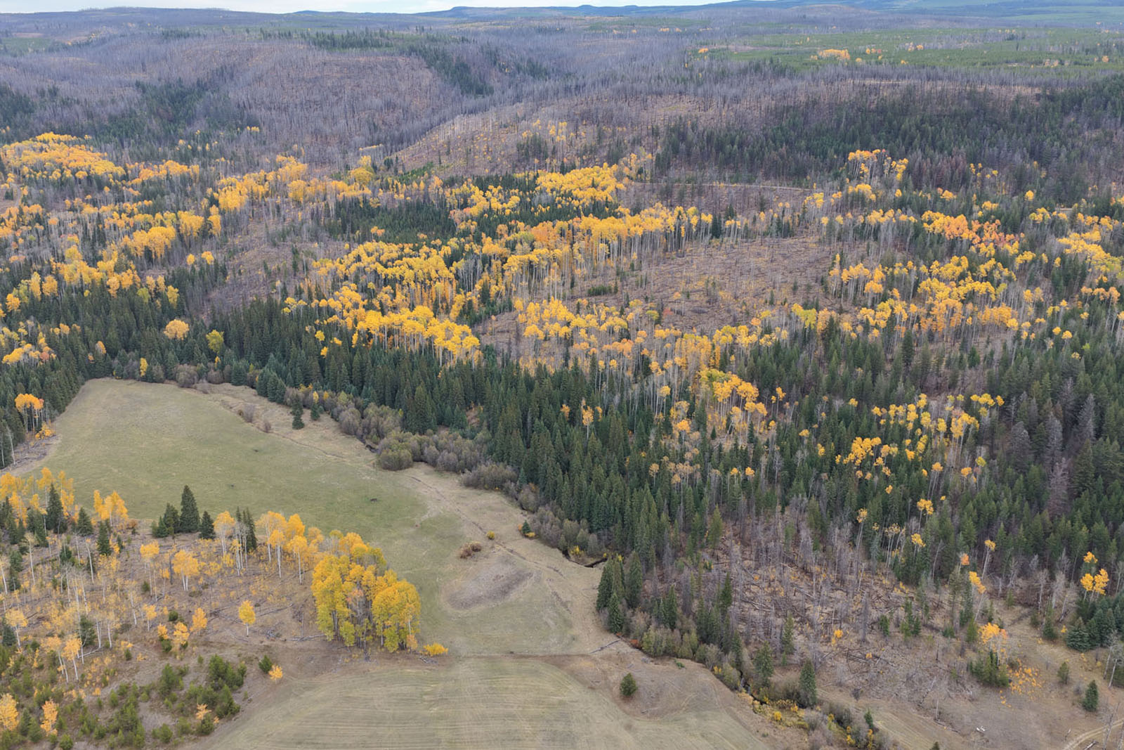
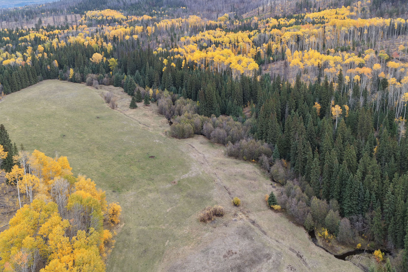
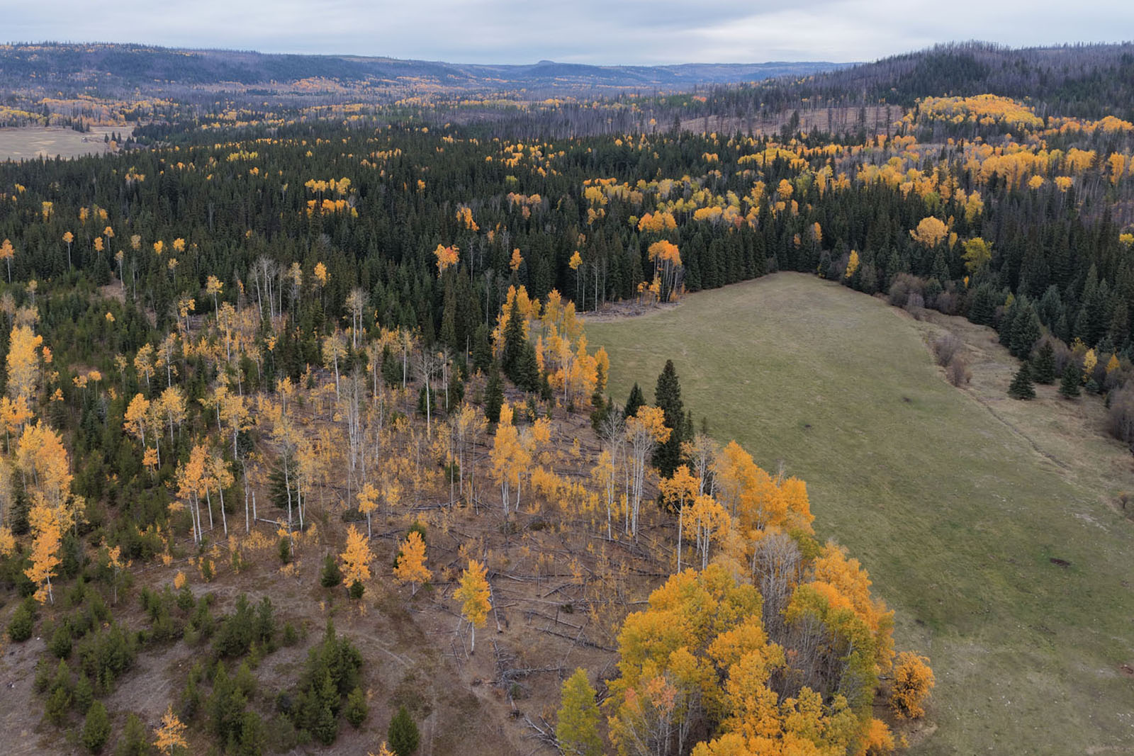
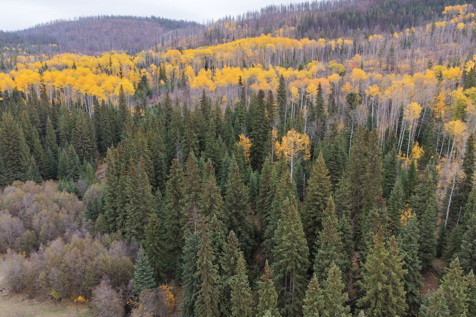
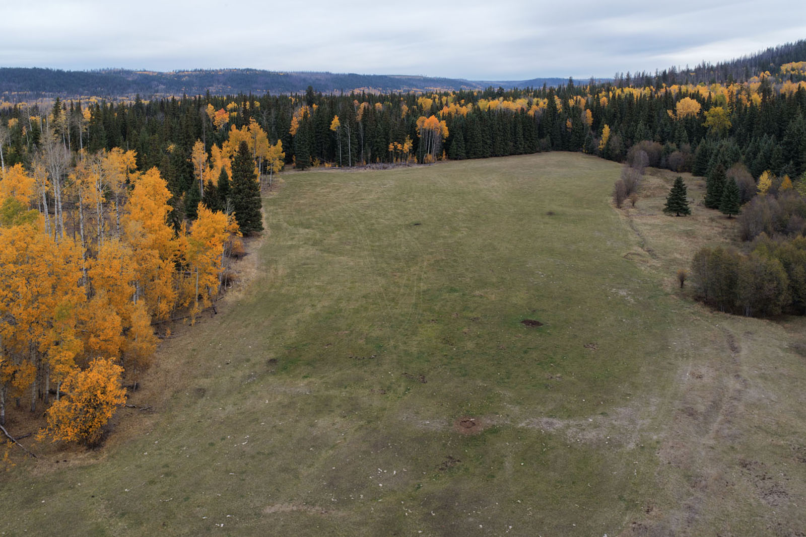
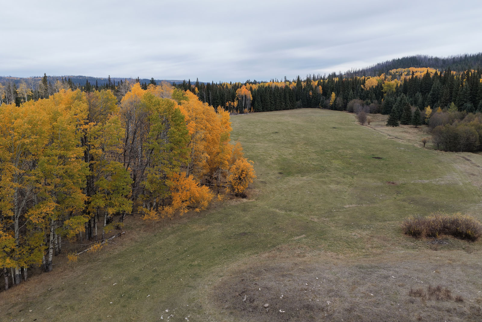
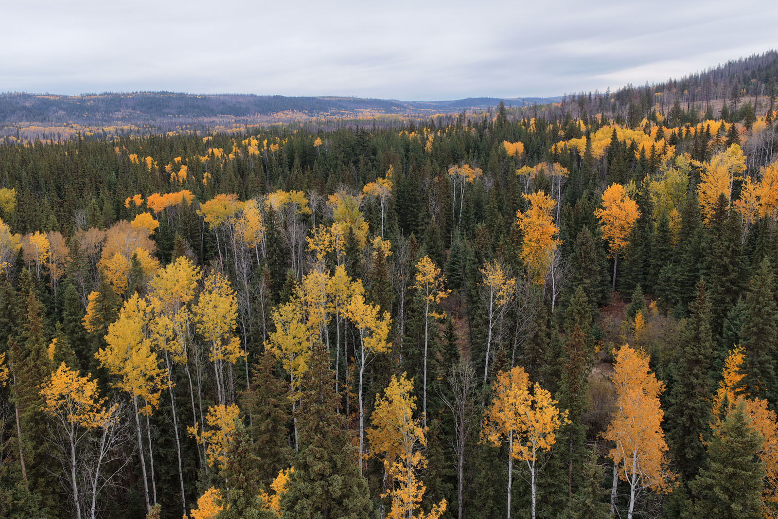
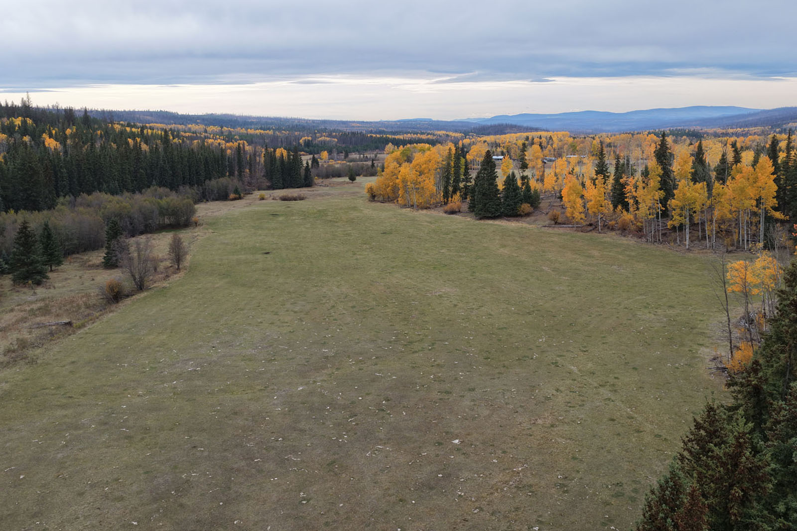
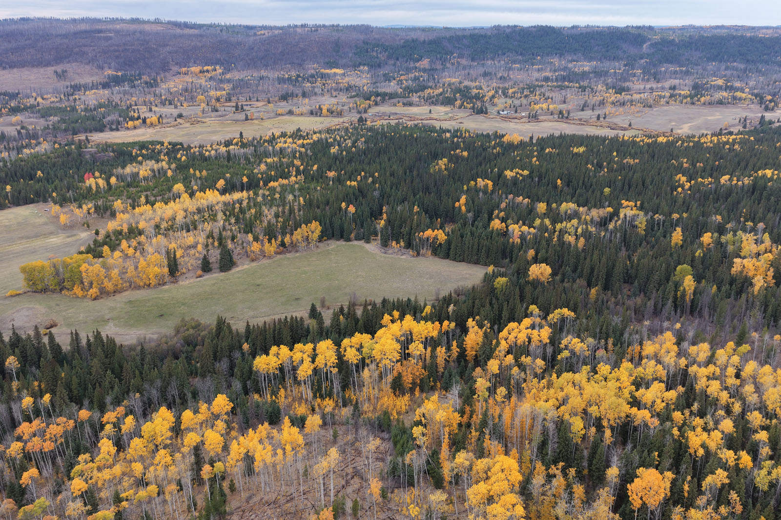
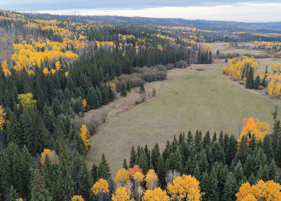
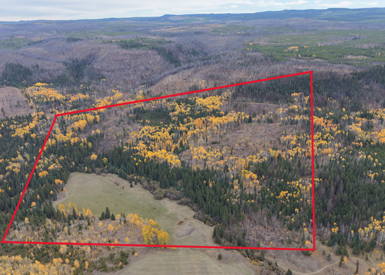
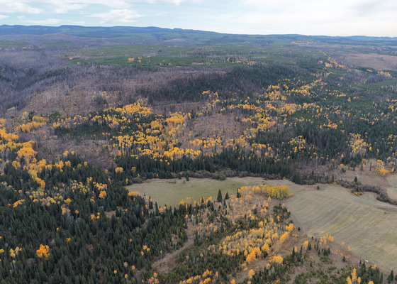
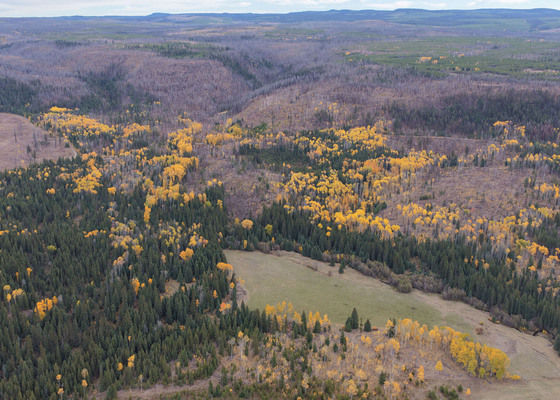
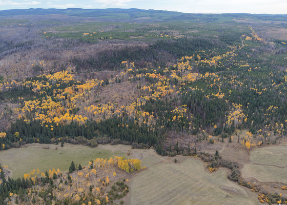
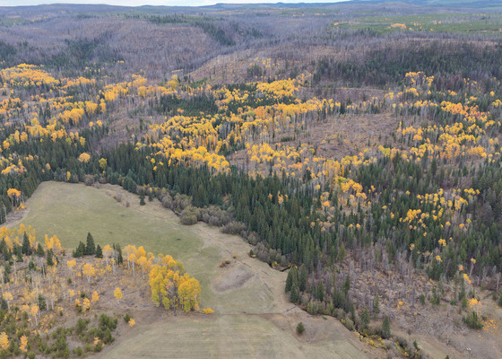
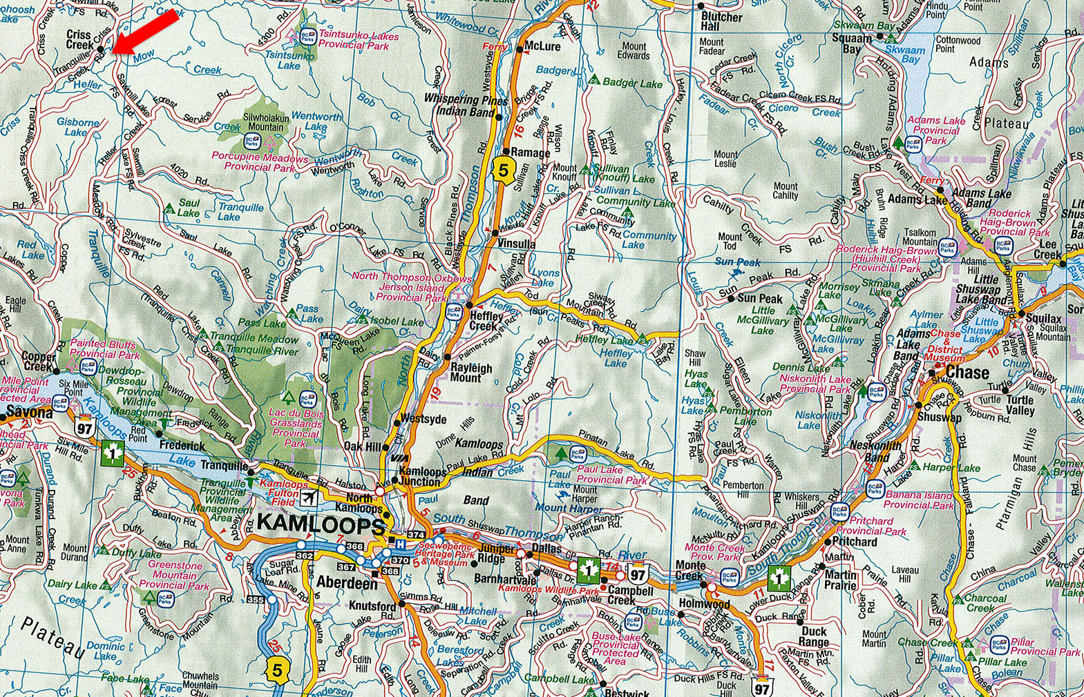
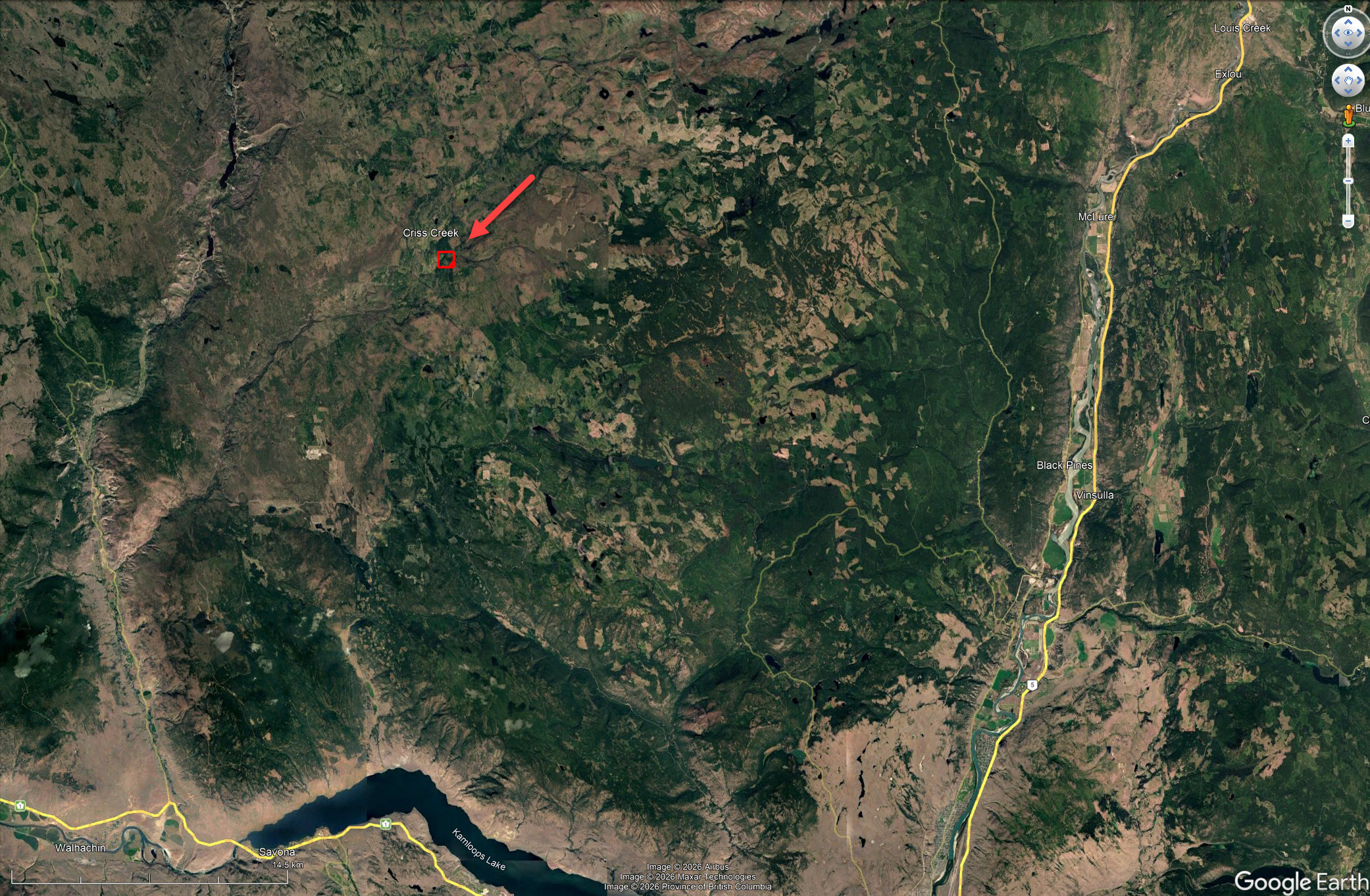
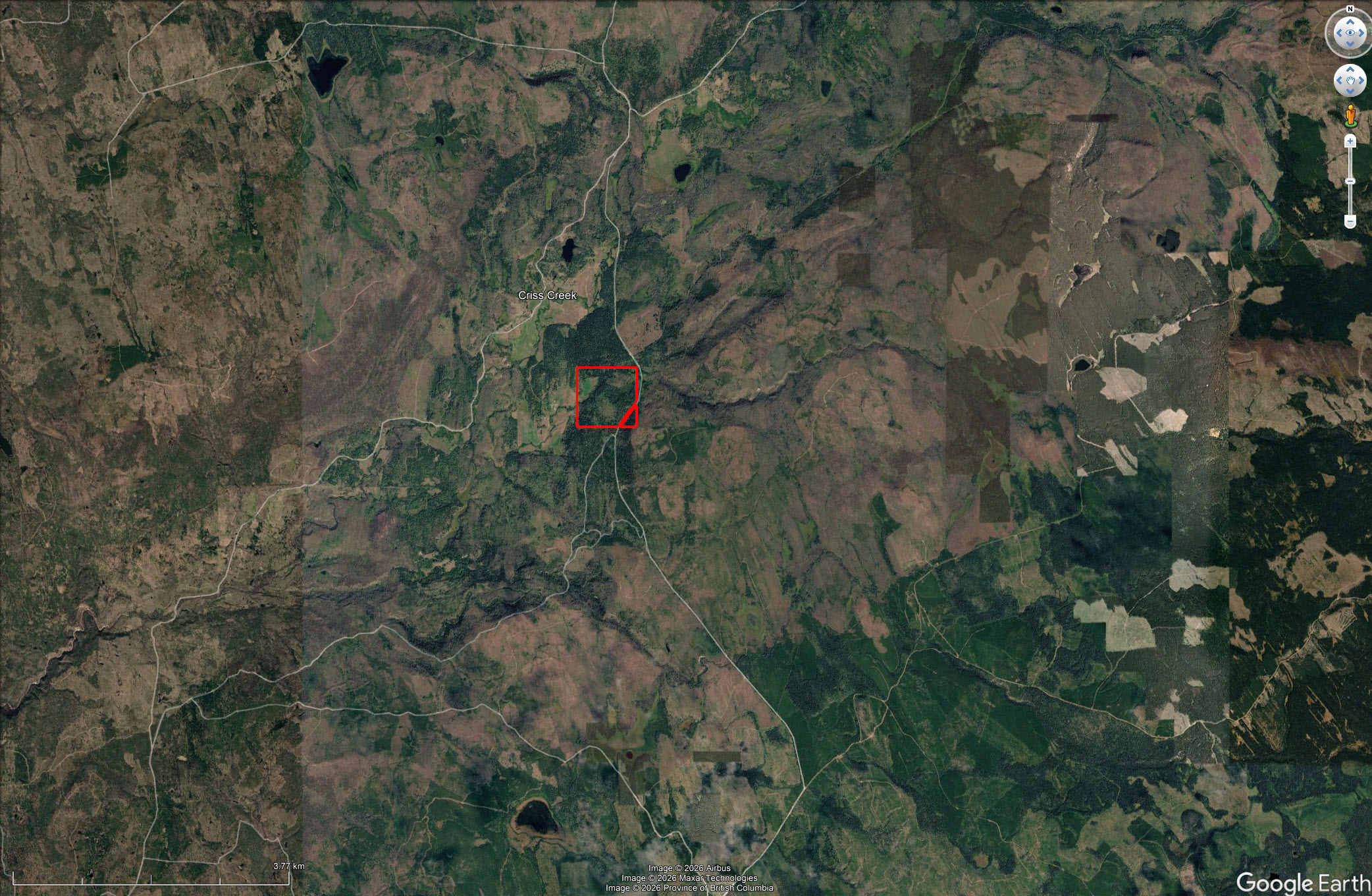
Offered for the first time in several decades, this 157-acre property sits in Criss Creek, about 45 minutes northwest of Kamloops. It’s reached by a logging road that is maintained year-round.
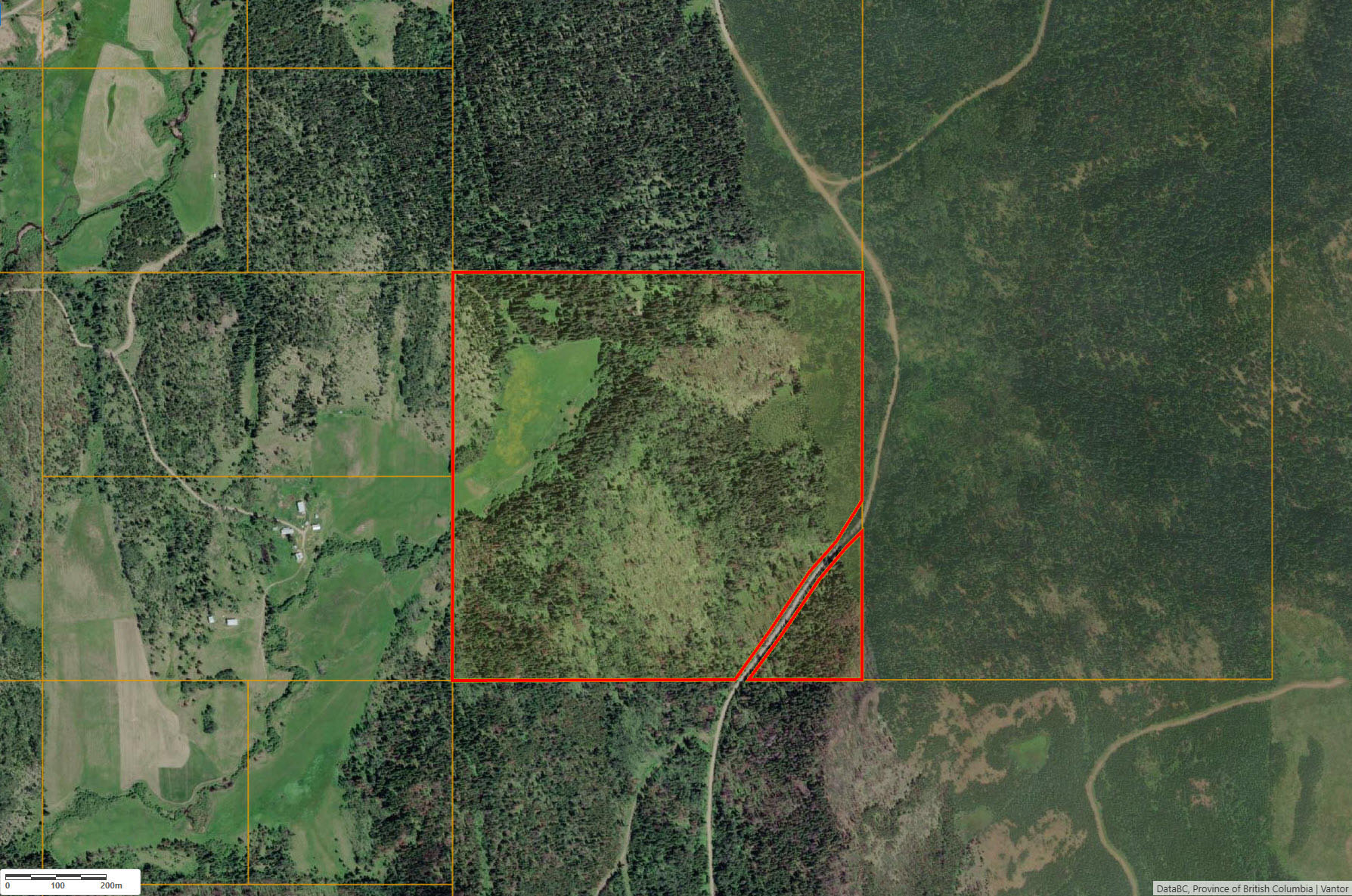
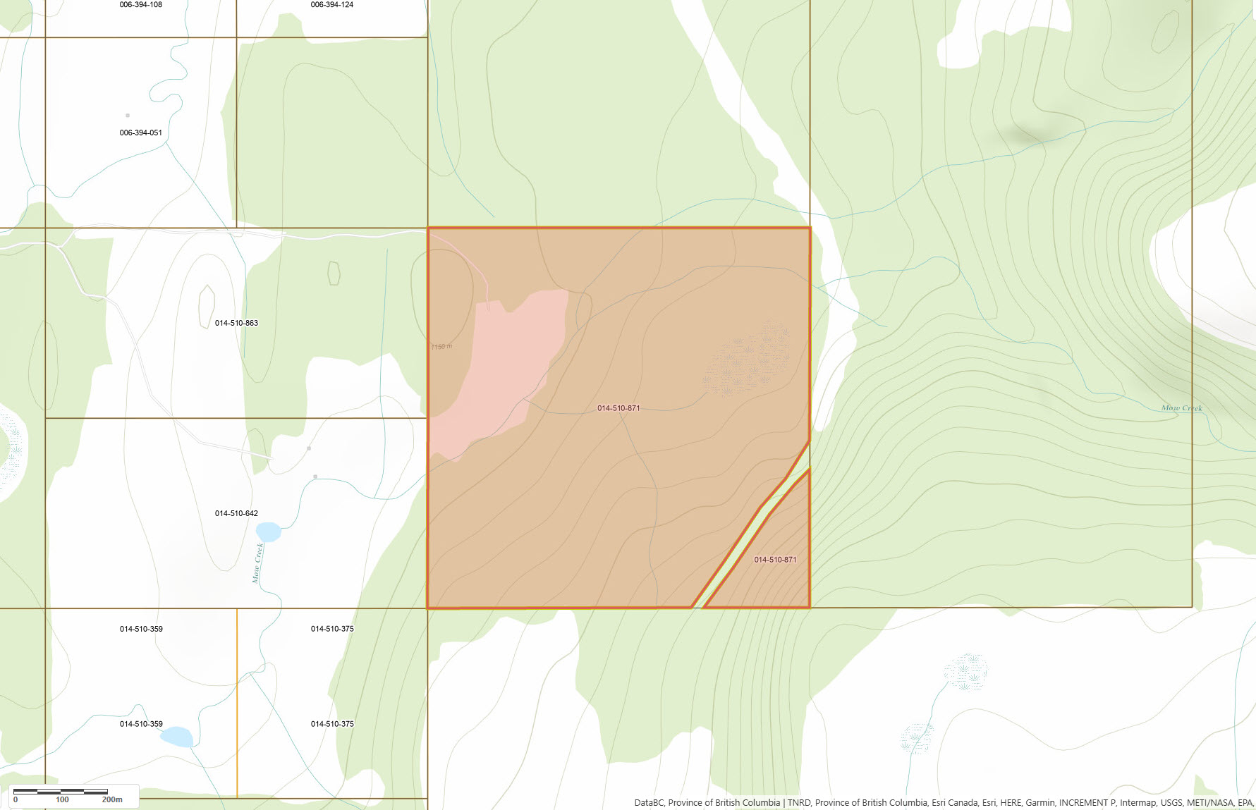
The land is largely undeveloped apart from a 10-acre hayfield, with Mow Creek running along the hayfield’s eastern edge. The eastern portion rises up the hillside, offering elevated building sites, while the western side is mostly flat. There is currently no driveway in from the main road, so you can put one in to the building site of your choice.
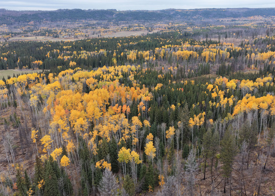
A good stand of mature timber covers much of the property. It’s likely not enough for a commercial harvest, but there’s ample wood to build whatever you envision, and with a portable sawmill the possibilities are nearly endless.
Two irrigation water licences on Mow Creek are included, for 100 and 30 acre-feet per year. That’s a combined 130 acre-feet, a substantial allocation for a property this size. The property sits at a higher elevation than Kamloops with cooler summer conditions and higher snow levels in winter, however the growing conditions are excellent for gardening or homestead living.
Privacy, creek frontage, agricultural land, abundant water rights and year-round access make this a rare opportunity for anyone looking to build a homestead, and affordable acreages like this don’t come along often.
Contact the listing agent today for more information or to book a viewing.
5297 Tranquille Criss Creek Rd - Kamloops, BC
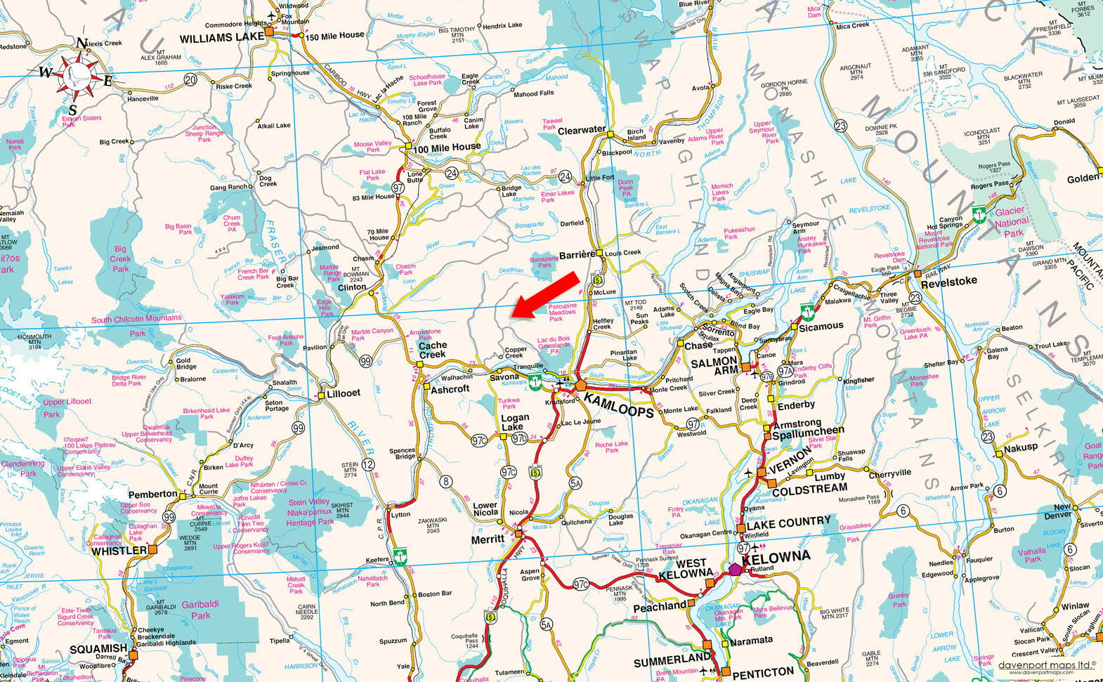
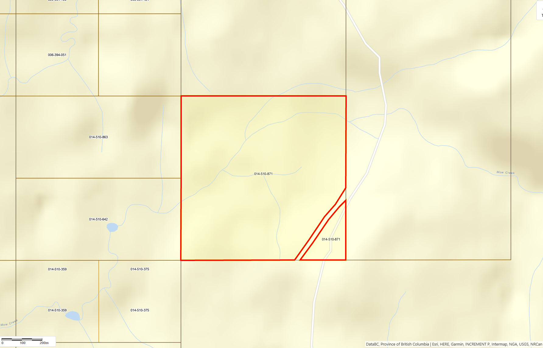
Please see the mapping section of this listing for detailed location.
Kamloops has an easy-going, outdoors-oriented Interior BC character. Rather than feeling like a large metropolitan centre, the city has a relaxed pace, established residential neighbourhoods, a walkable downtown, local restaurants and cafés, farmers' and artisan markets, community events and a strong sports culture. Its setting at the meeting of the North and South Thompson rivers, surrounded by rolling sagebrush hills and grasslands, gives the community a distinctive western and semi-rural feel that complements properties in the Tranquille Valley particularly well. There is an active arts, entertainment and cultural scene with galleries, museums, live theatre, concerts, seasonal festivals, community markets and a variety of local restaurants and cafés.
Operating as a full-service city, Kamloops provides excellent access to health care, schools, shopping, restaurants, professional services and recreational facilities. Royal Inland Hospital serves as a major health-care centre for the region, while Thompson Rivers University offers local post-secondary education. The city is also well connected by major highway routes and Kamloops Airport.
With a strong reputation for sports and recreation, Kamloops is known as Canada's Tournament Capital. The community contains arenas, swimming facilities, sports fields, fitness centres, playgrounds, spray parks, tennis and pickleball courts and extensive organized recreation for all ages.
The landscape changes dramatically within a short distance of the city, allowing residents to move easily from warm, dry valley terrain to cooler forests and alpine country. Hiking, mountain biking, horseback riding, fishing, boating, paddling and golf are all deeply woven into the local lifestyle, while winter brings skiing, snowshoeing, ice fishing and snowmobiling throughout the surrounding high country.
The Thompson and North Thompson Rivers provide plenty of opportunity for paddling, boating and fishing, while nearby Kamloops Lake expands the possibilities for time on the water. The surrounding lake country is well known for trout fishing, with numerous easily accessible lakes that offer everything from quiet shoreline outings to boating and backcountry angling. Kenna Cartwright Nature Park is well known for hiking, trail running and mountain biking. Several protected natural areas are within easy reach of the city and are great spots for swimming, fishing, boating, camping and hiking, featuring forested trails and many lakeside day-use areas.
Winter adds another dimension to the Kamloops lifestyle. Stake Lake and the Overlander Ski Club trail system are popular for groomed cross-country skiing and snowshoeing, while surrounding lakes provide opportunities for ice fishing. Nearby Sun Peaks Resort is a major four-season mountain destination, offering downhill skiing, snowboarding, Nordic skiing and snowshoeing.
Within the greater region, quiet lakes, expansive Crown land, provincial parks, trail networks and mountain destinations provide an exceptional variety of ways to enjoy the outdoors, while the city remains close at hand for services and amenities.
The name Kamloops is commonly translated as “where the rivers meet” or “meeting of the waters,” a fitting reference to the meeting of the North and South Thompson Rivers. It developed as an important trade and transportation centre at the confluence of the North and South Thompson Rivers, with a fur trading post established in 1812. Growth accelerated during the gold rush era and with the expansion of ranching, agriculture and commerce. The arrival of the Canadian Pacific Railway in the 1880s further strengthened the community, and Kamloops was officially incorporated as a city in 1893.
Please see maps and plans included, all boundaries are approximate.
51° 1'45.38"N and 120°43'7.38"W
Two irrigation water licences on Mow Creek are included, for 100 and 30 acre-feet per year. That’s a combined 130 acre-feet, a substantial allocation for a property this size.
$562.67 (2026)
AF-1 – Agricultural / Forestry Zone 1
THE SOUTHWEST 1/4 OF SECTION 10 TOWNSHIP 24 RANGE 20 WEST OF THE 6TH MERIDIAN KAMLOOPS DIVISION YALE DISTRICT EXCEPT PLAN KAP46207
PID 014-510-871
 +8 maps
Our property descriptions and geographical information are taken from the BC Assessment Authority, Land Titles Office, government maps and other sources. While LandQuest® does not guarantee the information, we believe it to be accurate, but should not be relied upon without verification. This communication is not intended to cause or induce breach of an existing agency agreement.
Criss Creek
 10℃
1℃