


Own a piece of British Columbia history. Once part of Ralph Edwards’ legendary “Crusoe of Lonesome Lake” homestead, this rare 2.8-acre private inholding in Tweedsmuir South Provincial Park offers Atnarko River and Lonesome Lake frontage surrounded by an abundance of wildlife.
 +36 photos
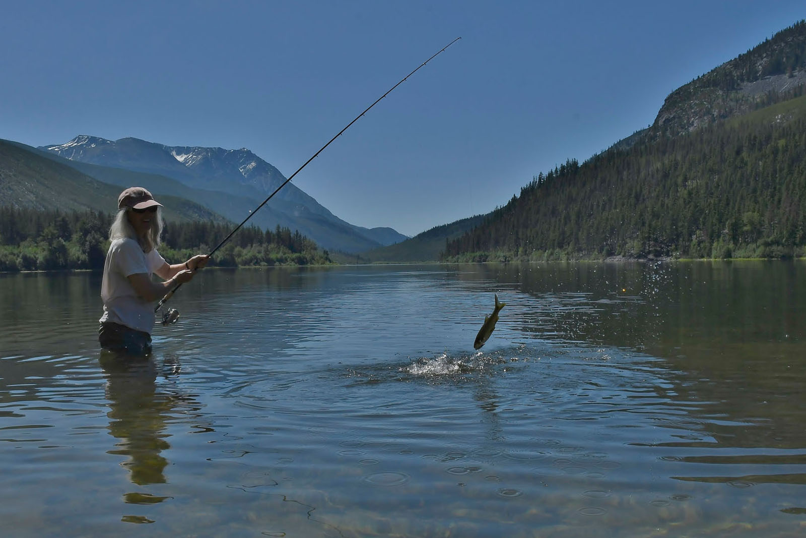
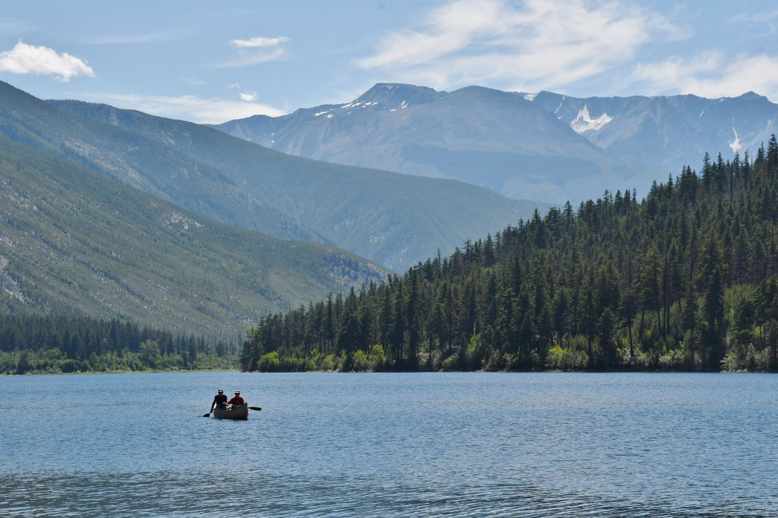
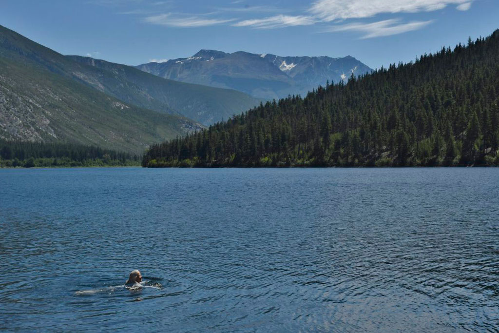
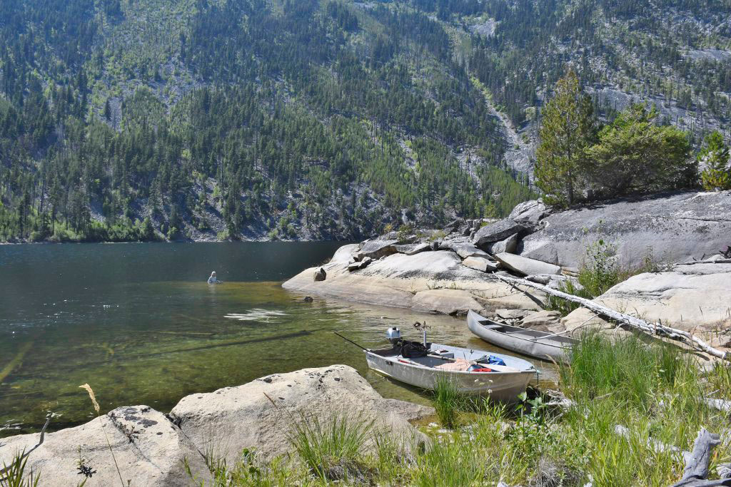
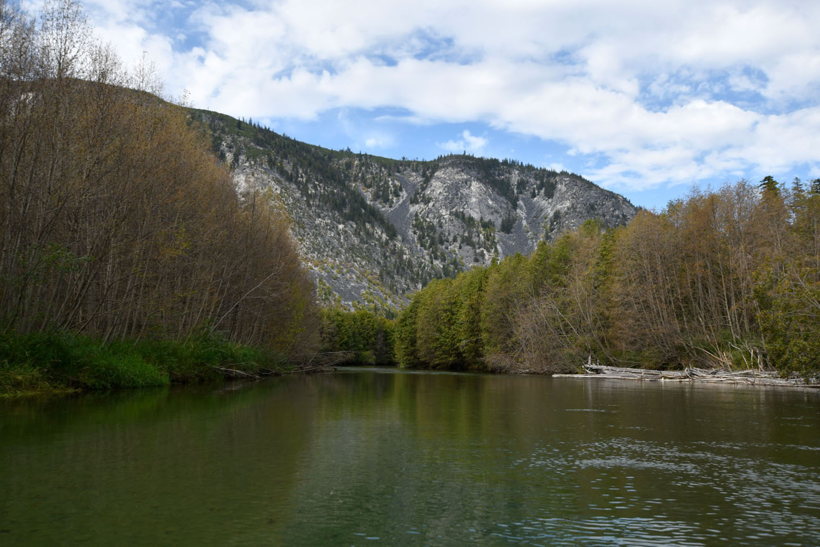
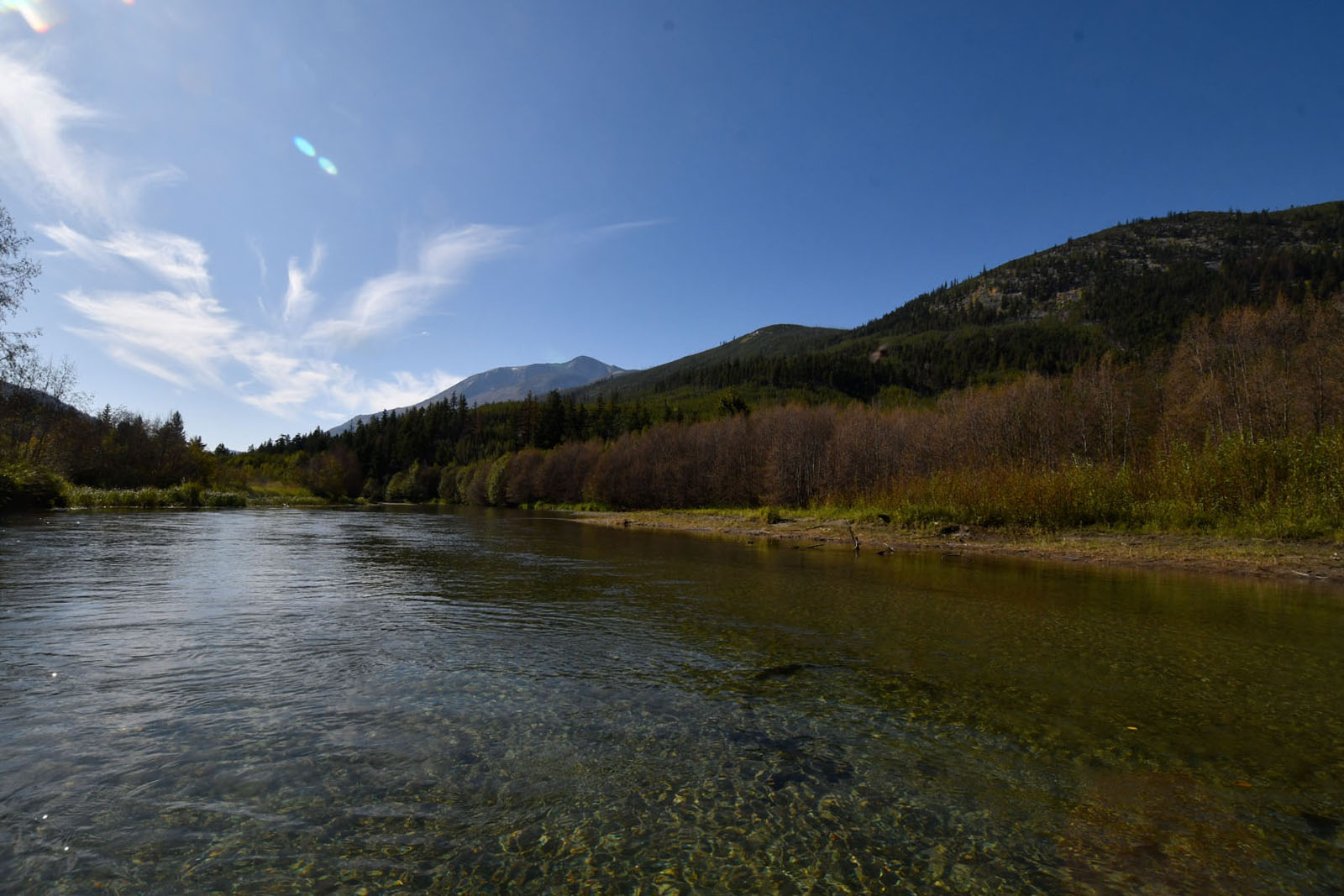
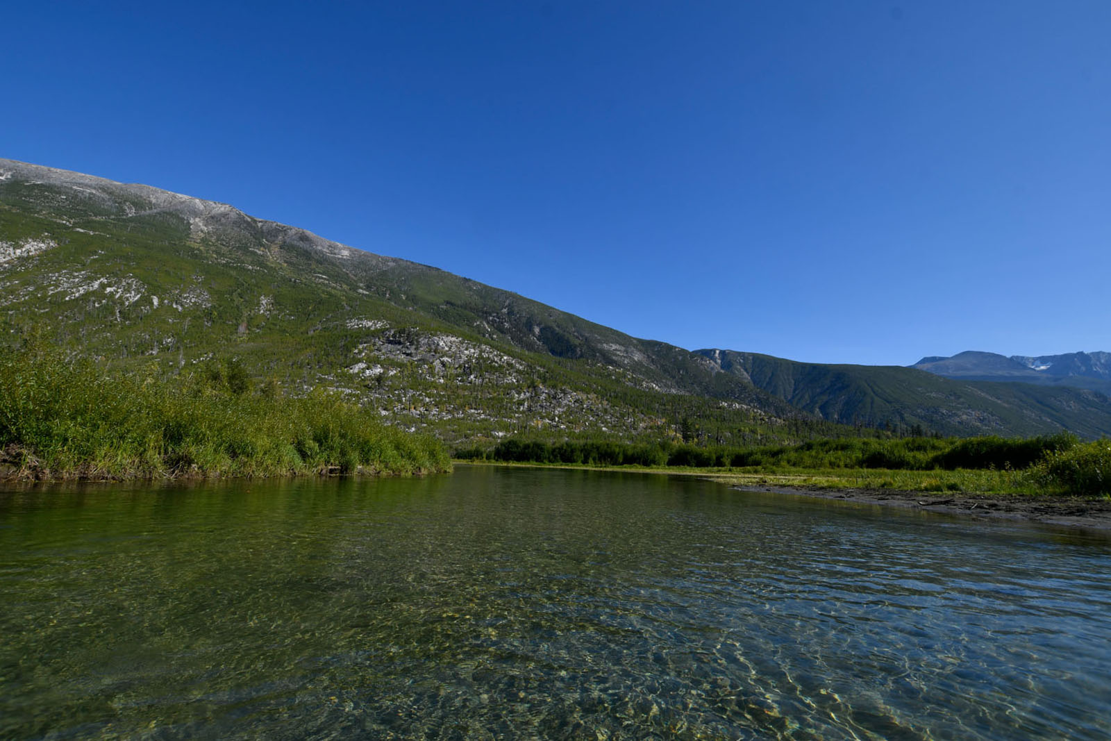
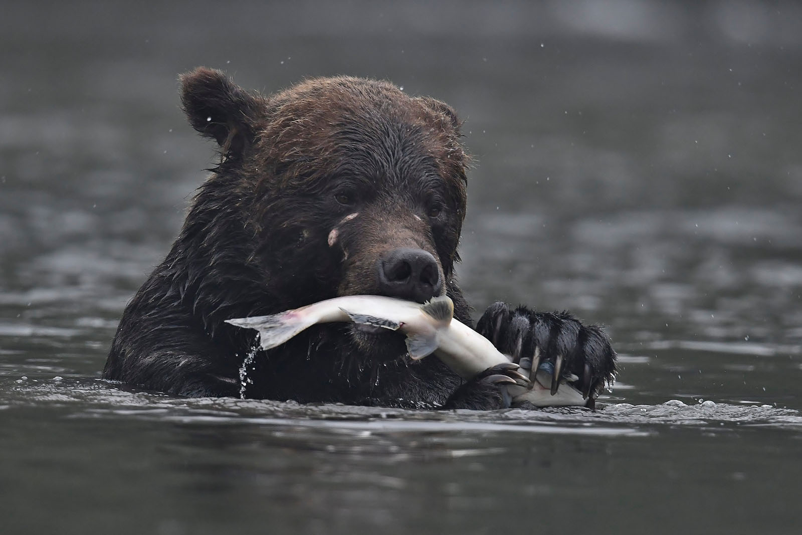
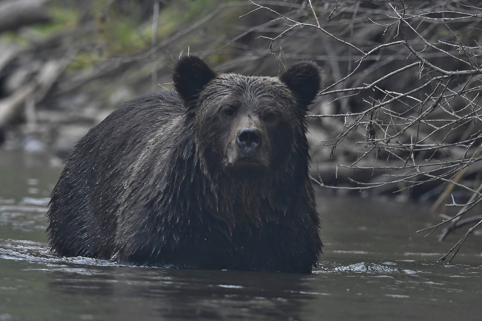
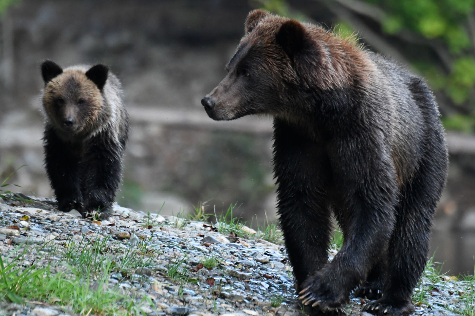
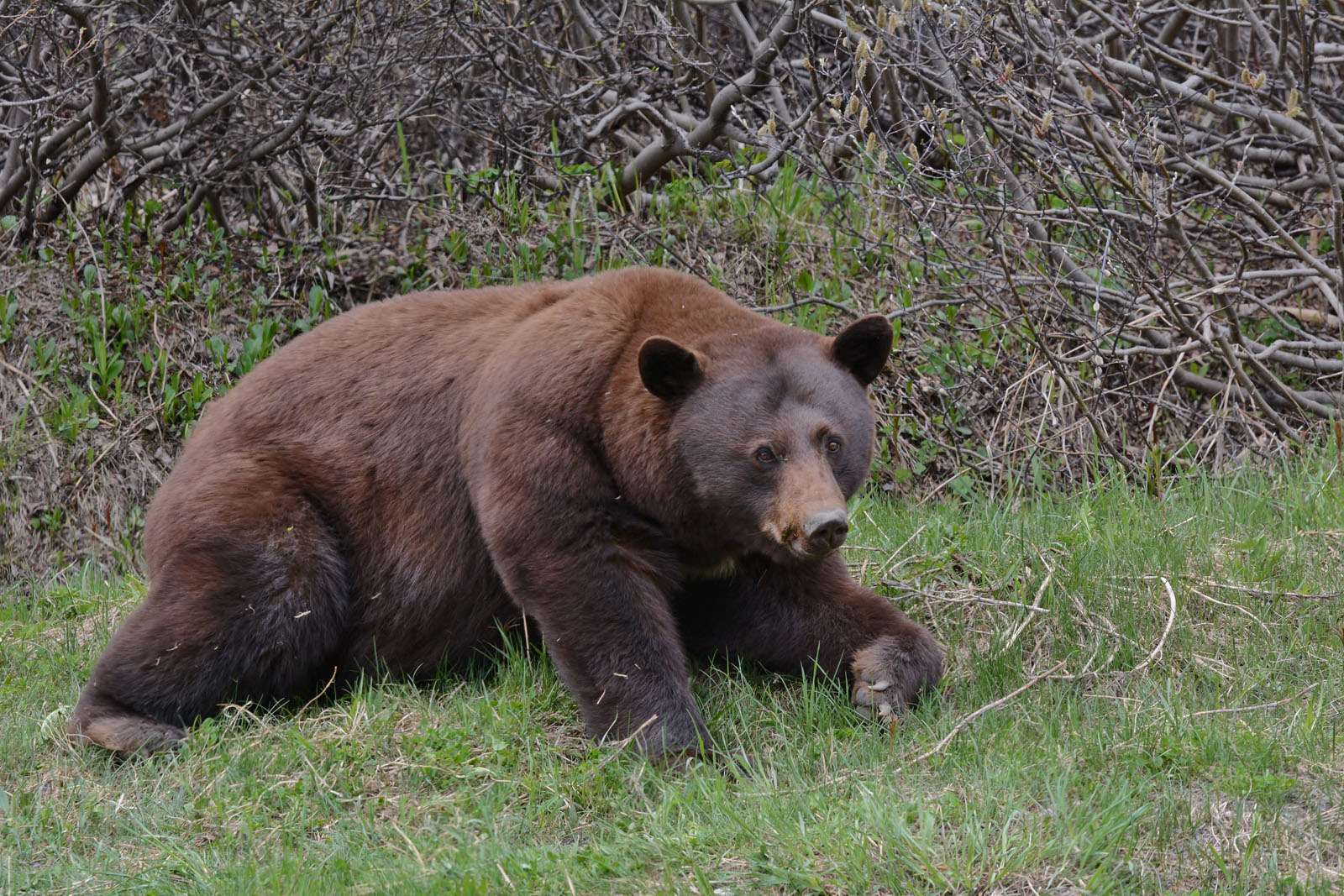
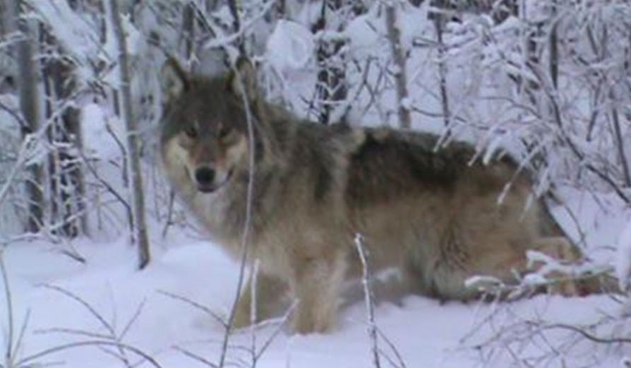
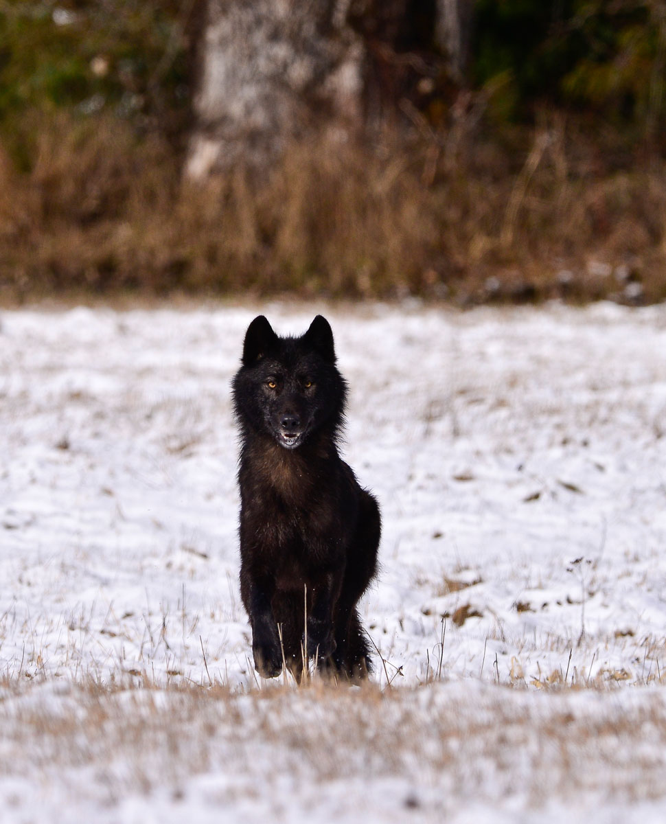
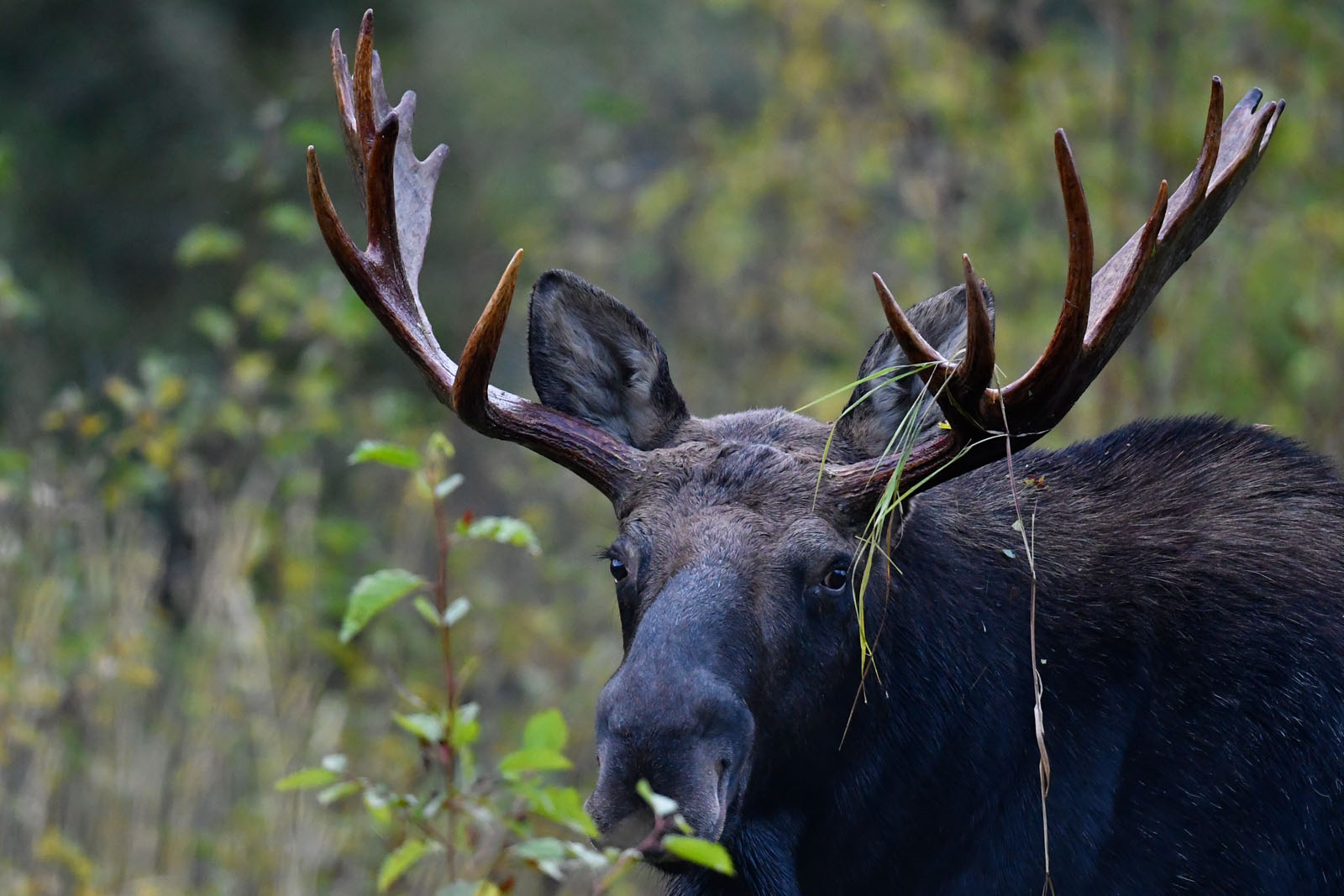
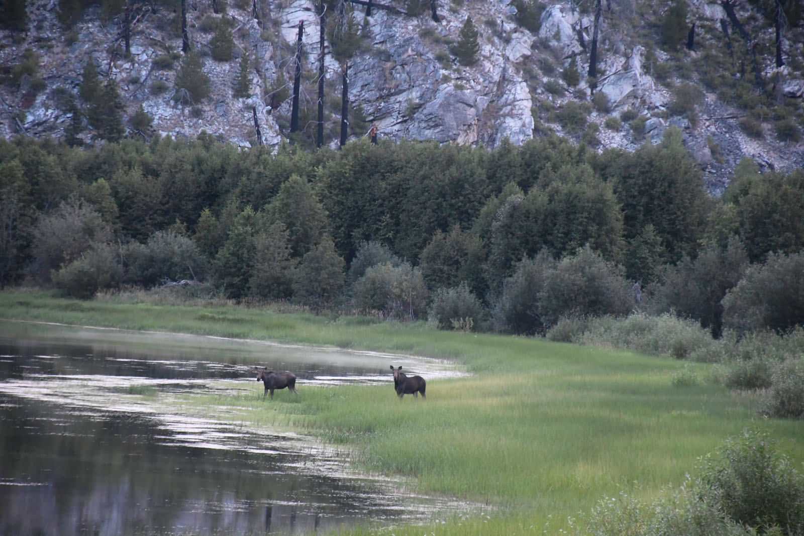
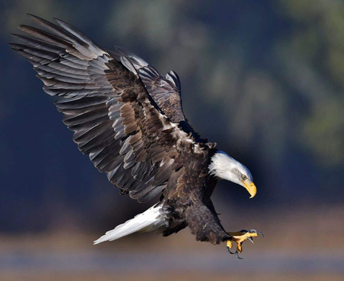
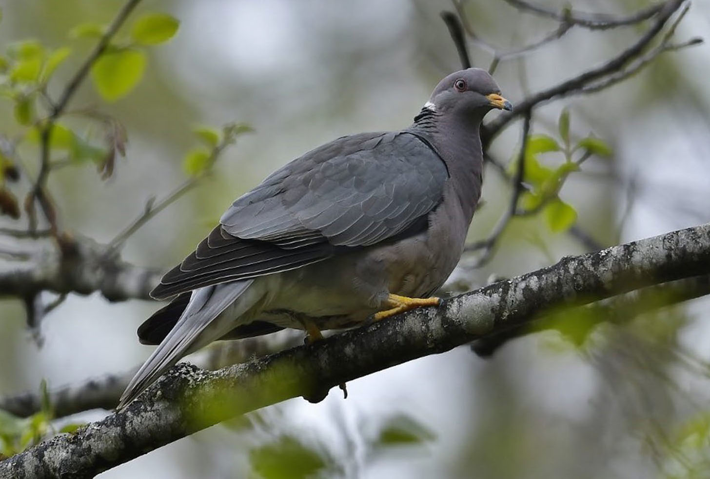
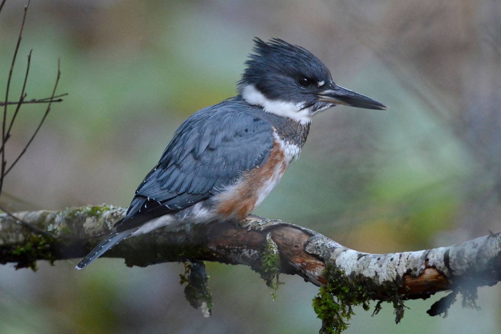
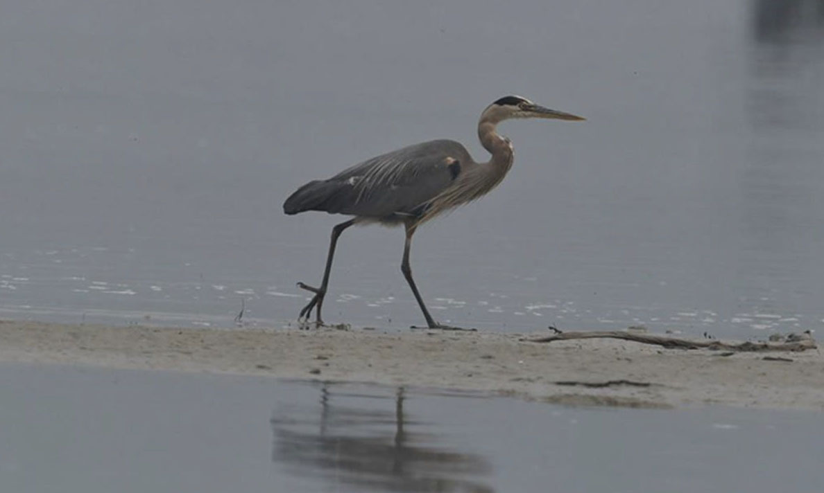
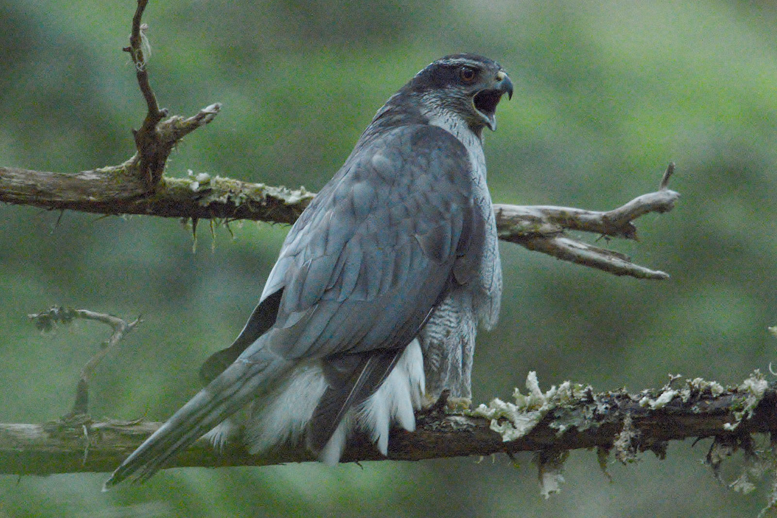
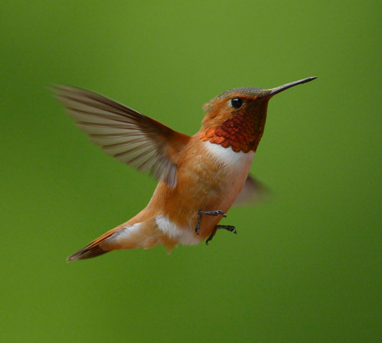
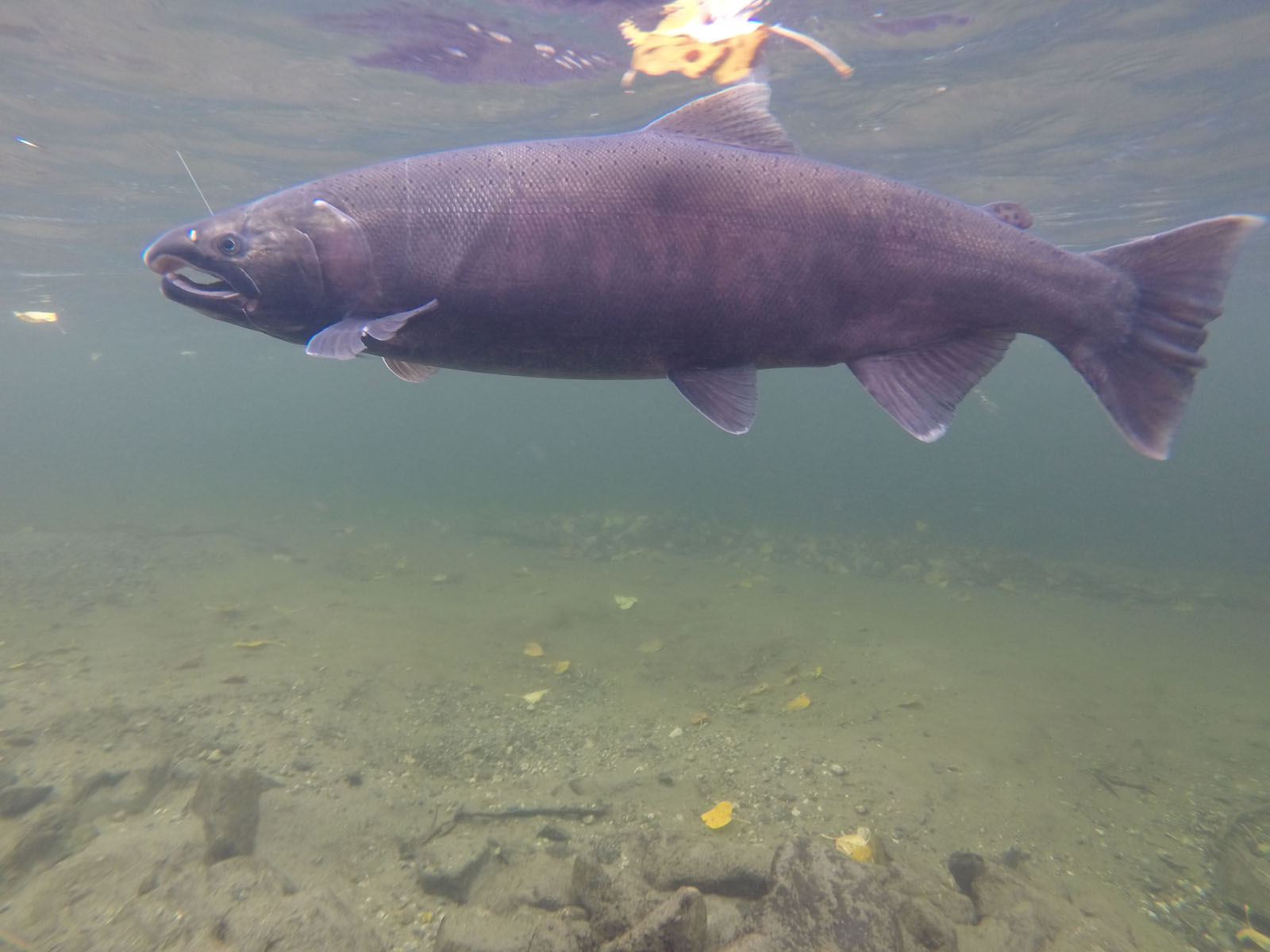
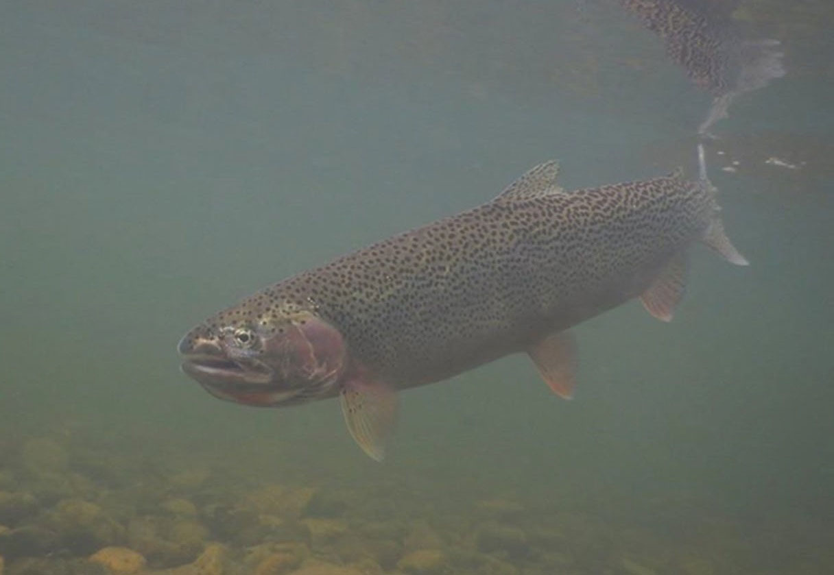
This is not an ordinary piece of land, and it isn't priced like one. As the last remaining private property in the Lonesome Lake Valley and part of the original Ralph Edwards homestead made famous by Crusoe of Lonesome Lake, its value lies in its heritage, its setting and its rarity rather than its acreage. It will appeal to a buyer who wants to own a genuine piece of British Columbia history in one of the province's most remarkable wilderness areas. Please contact the listing agent to discuss pricing and arrange a private viewing.
Some properties are bought for their acreage but this one is bought for its story, location, and solitude. Tucked into the upper Atnarko Valley at the head of Lonesome Lake, this 2.8-acre private parcel was once part of the original homestead of Ralph Edwards, the pioneer whose remarkable life of self-reliance was told in Leland Stowe’s 1957 classic, Crusoe of Lonesome Lake. Few places in British Columbia carry this kind of history, and fewer still remain in private hands.
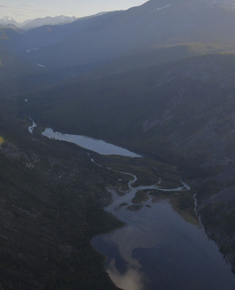
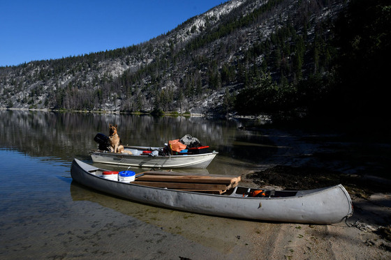
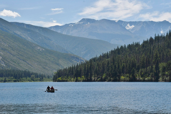
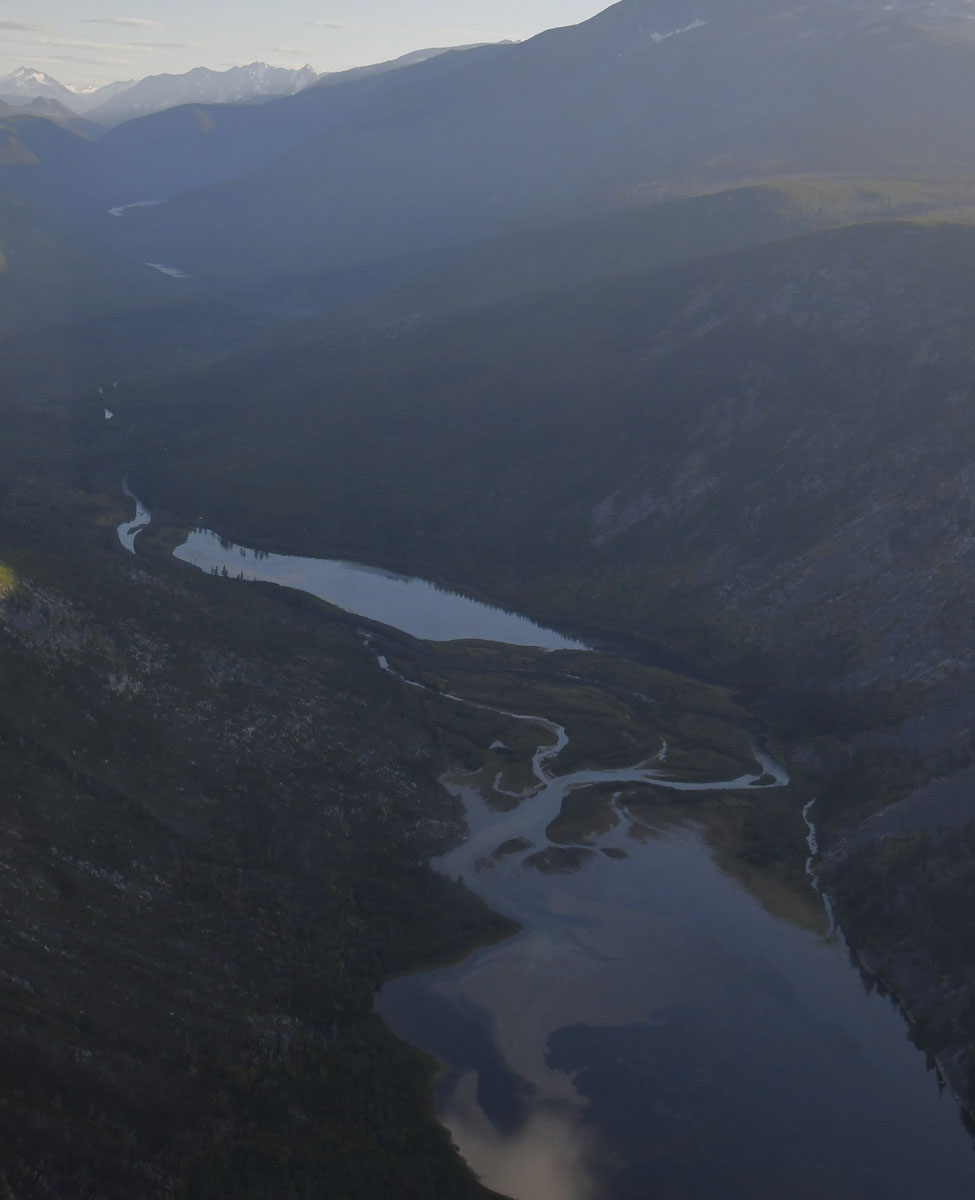
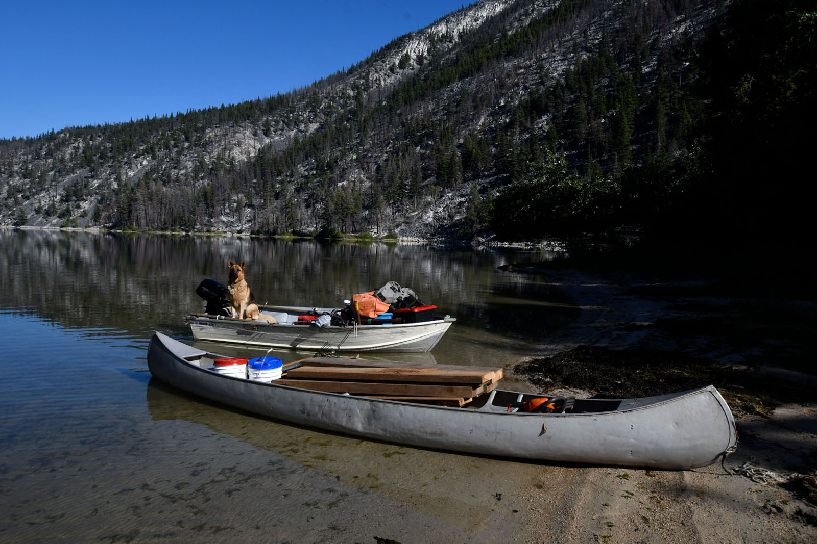
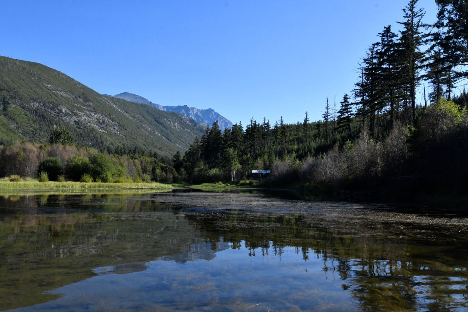
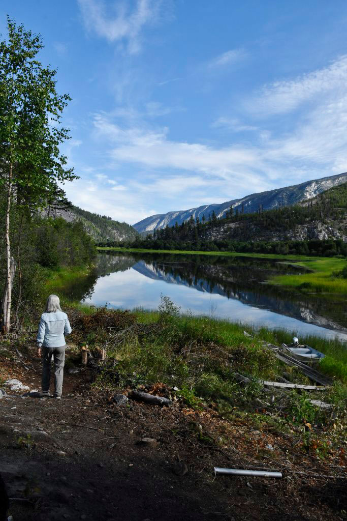
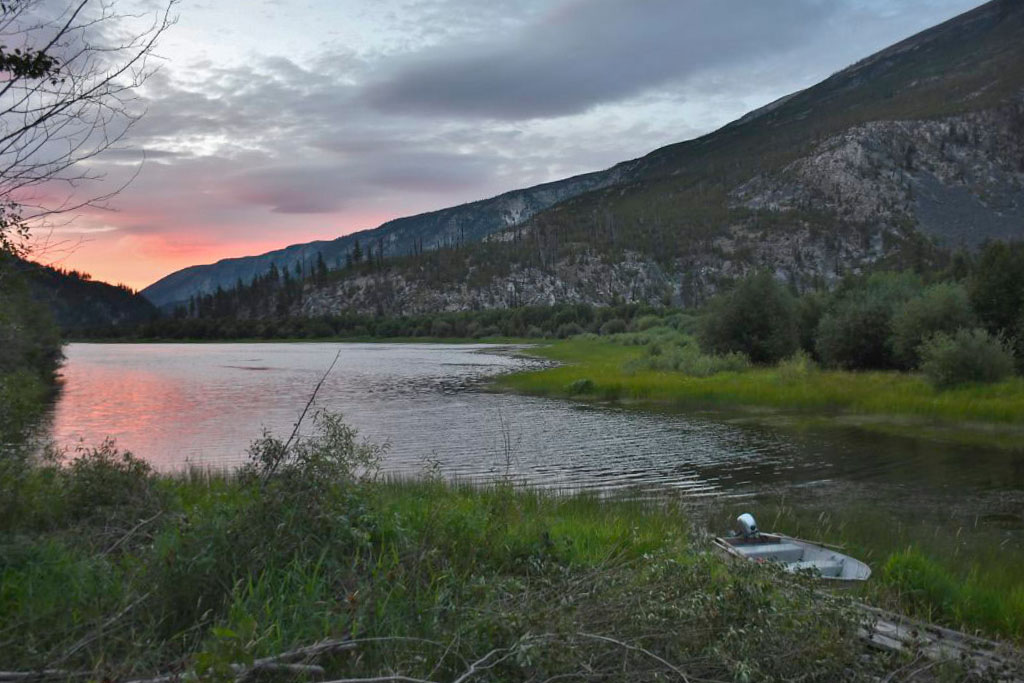
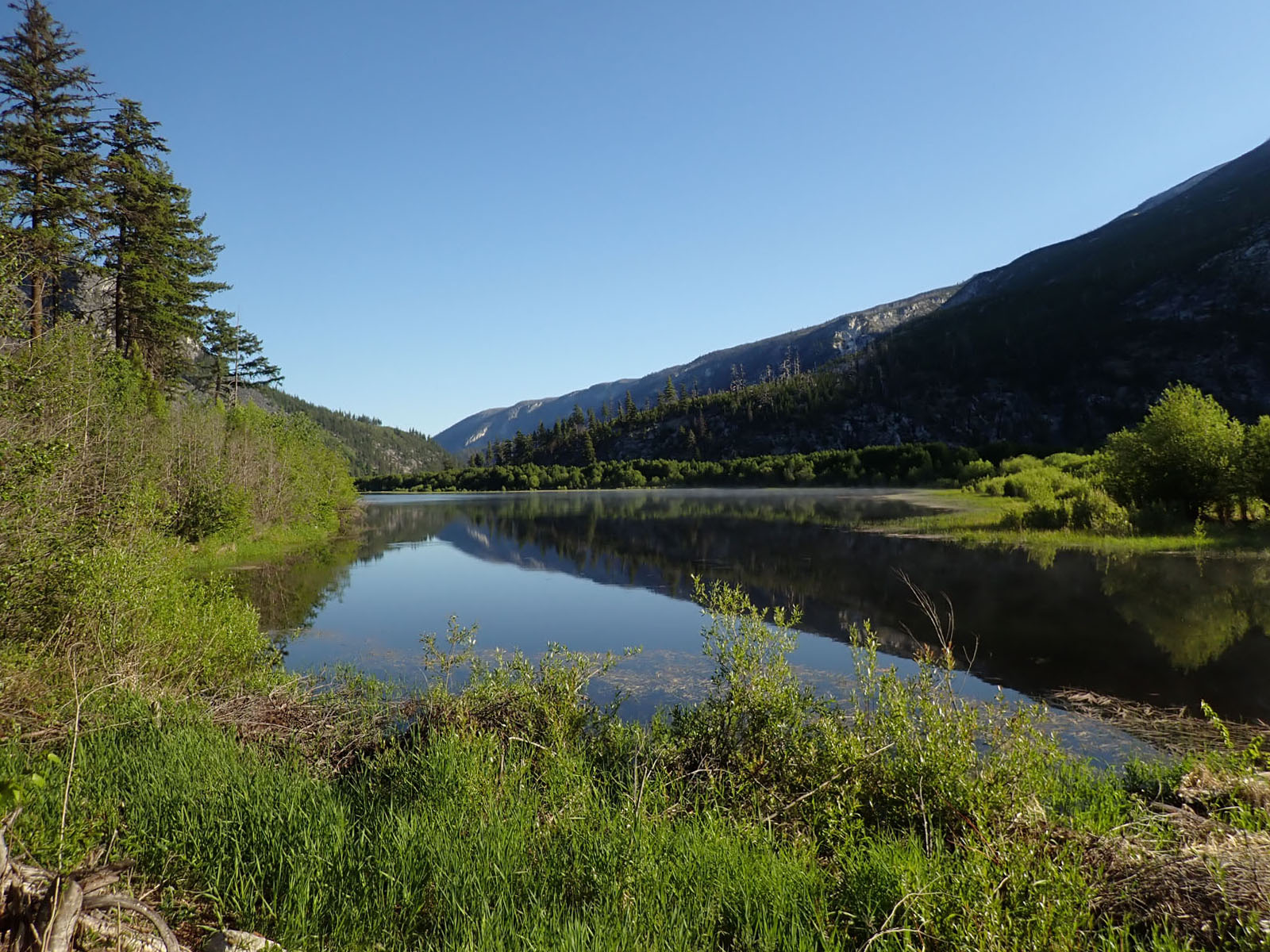
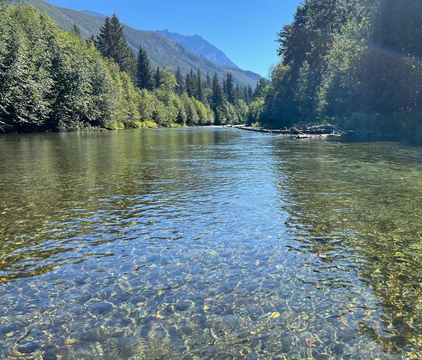
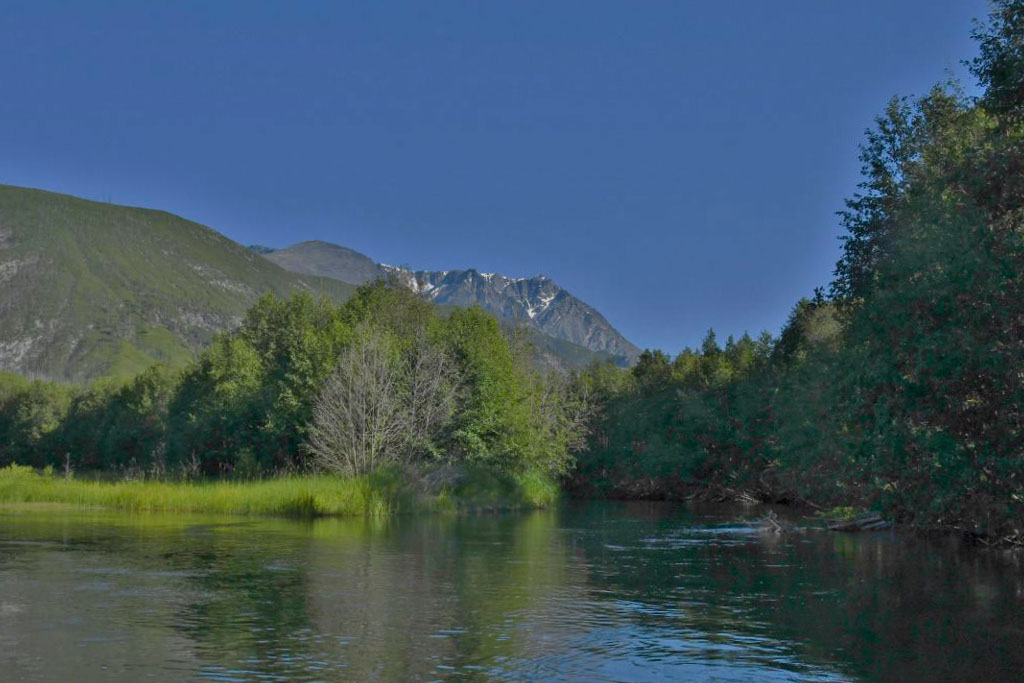
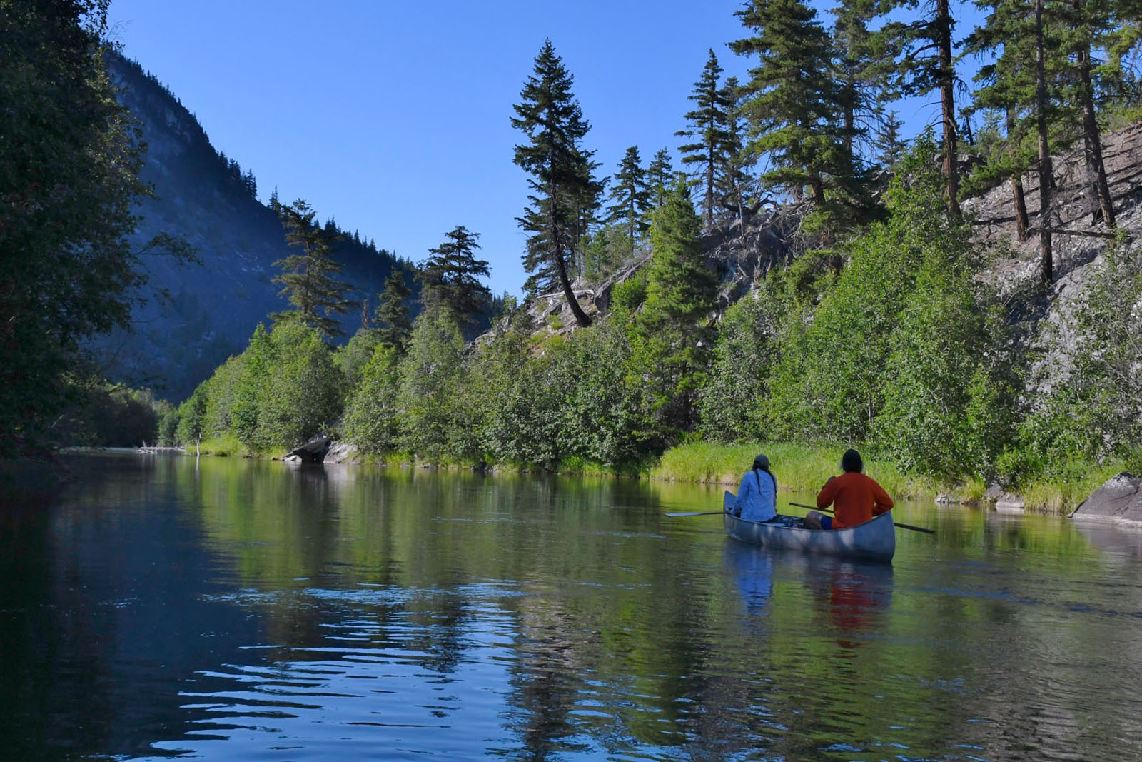
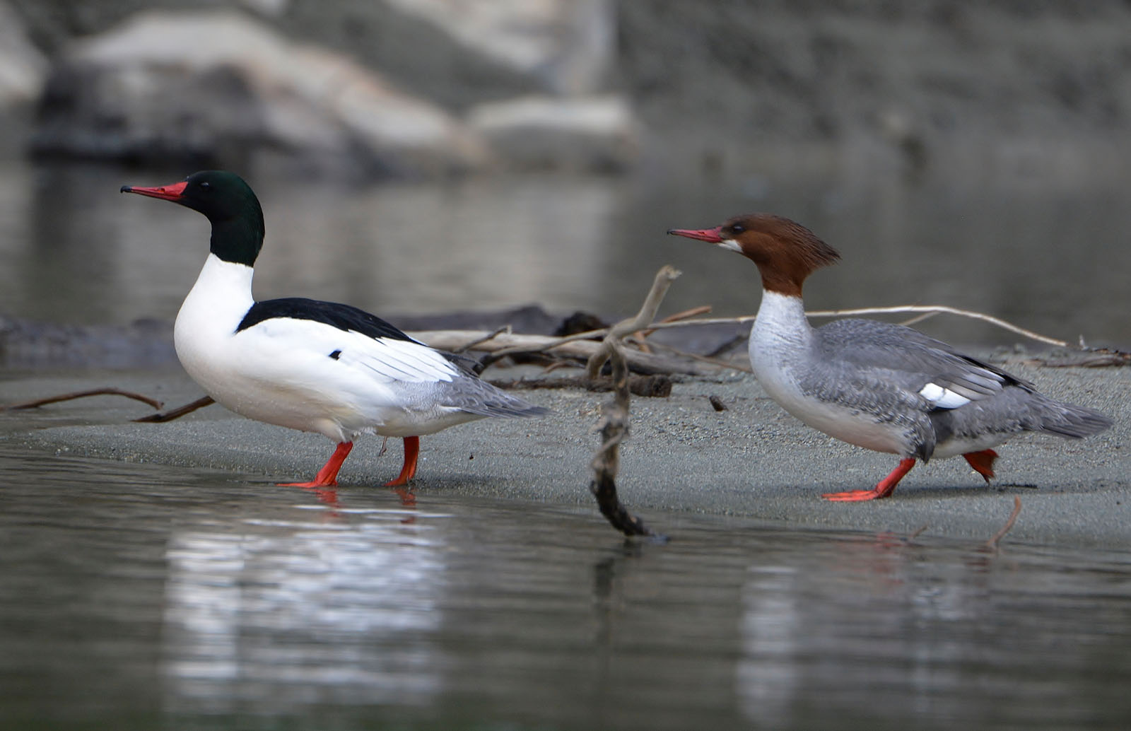
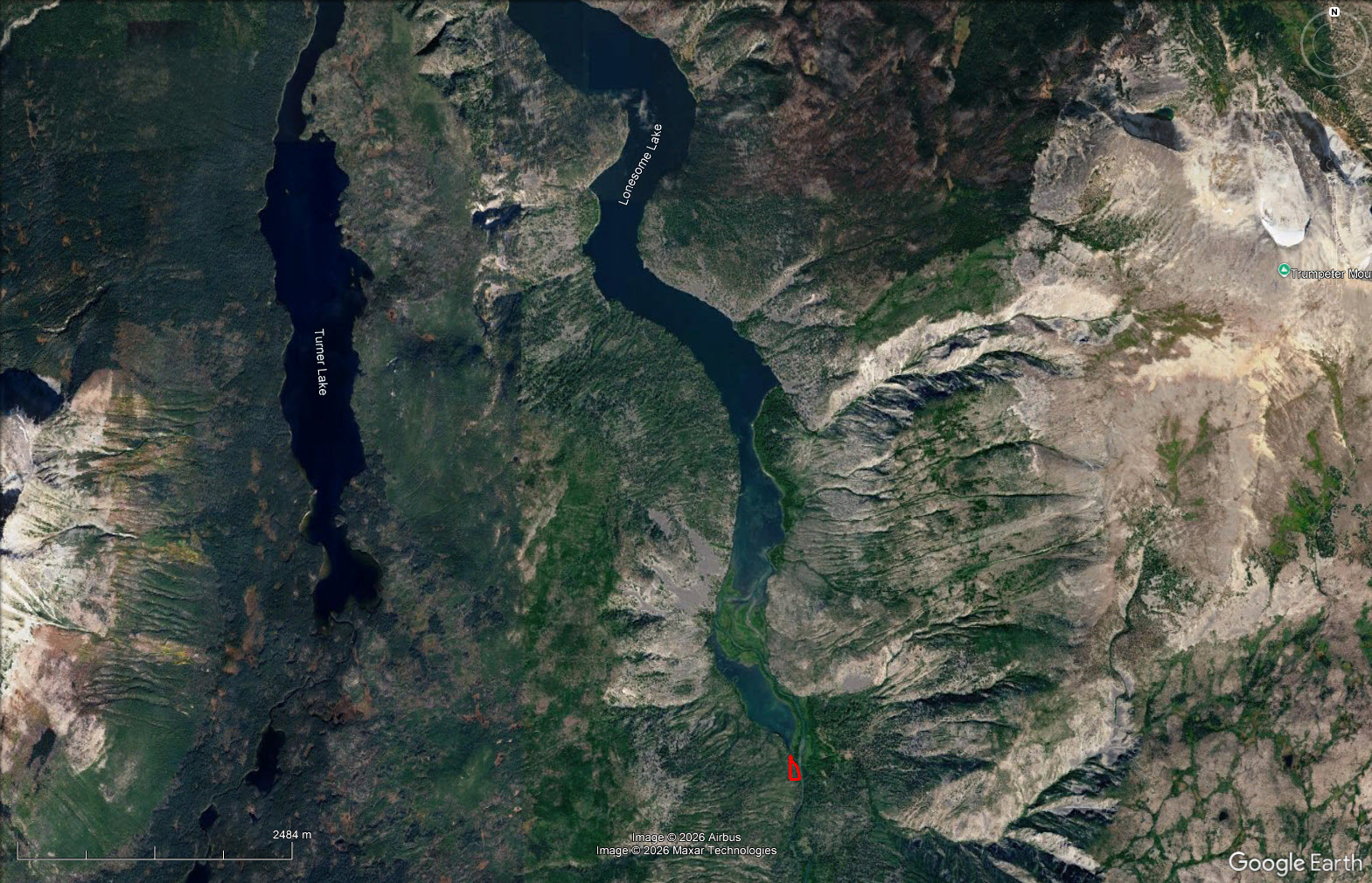
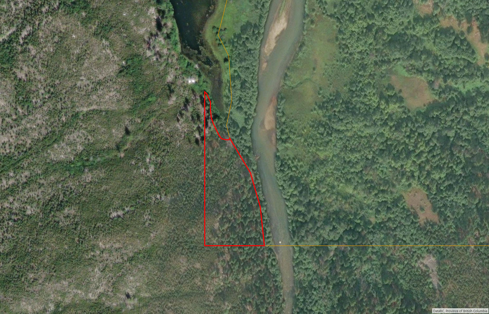
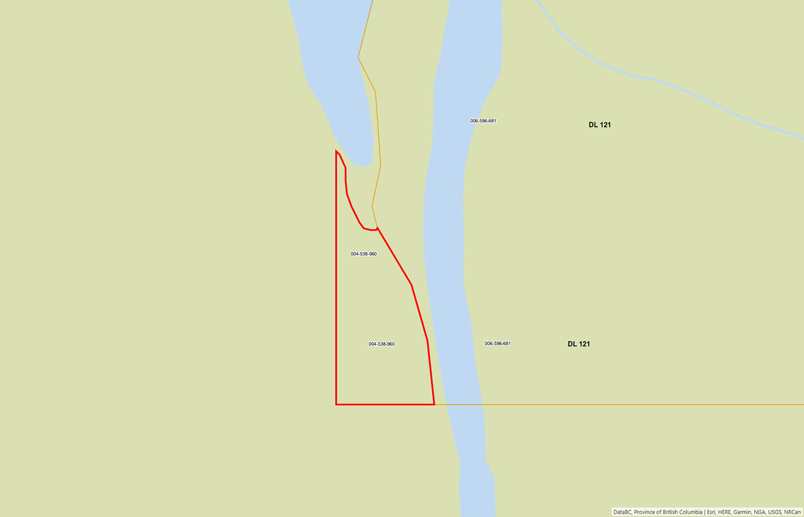
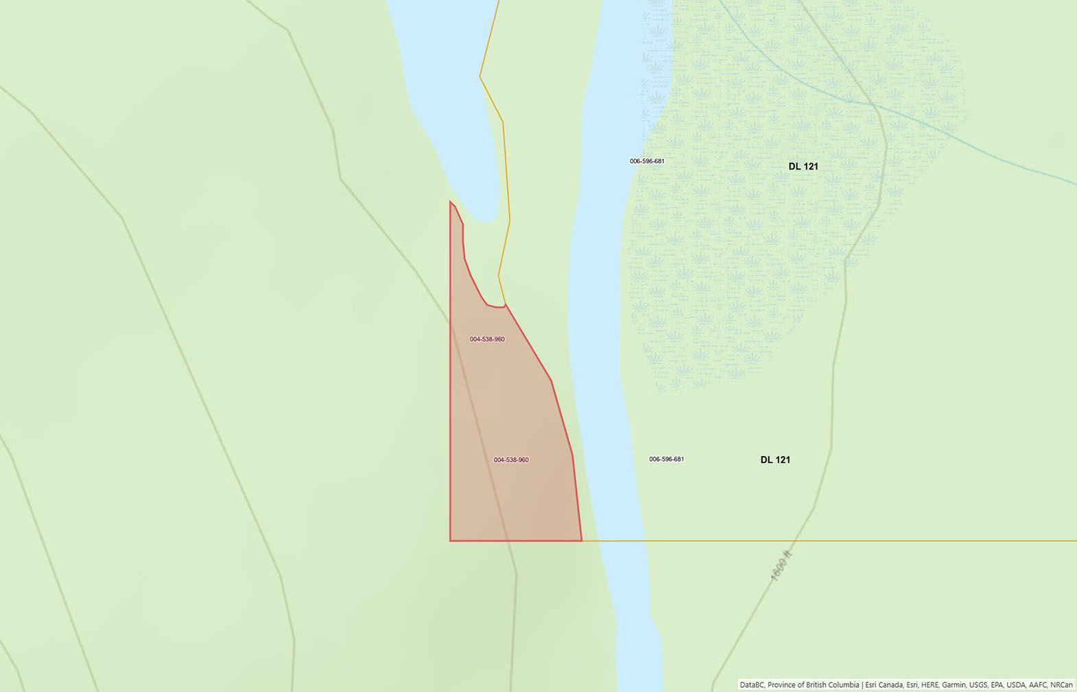
The property enjoys rare double waterfront, with approximately 110 metres of clear, slow-moving Atnarko River frontage and approximately 50 metres of frontage on the sheltered Lonesome Lake lagoon. The layout creates a natural paddling loop: launch a canoe or kayak into the river current, drift quietly downstream, and paddle back through the lagoon to your own shoreline—roughly 45 minutes of silent travel through some of the finest wildlife habitat on the coast.
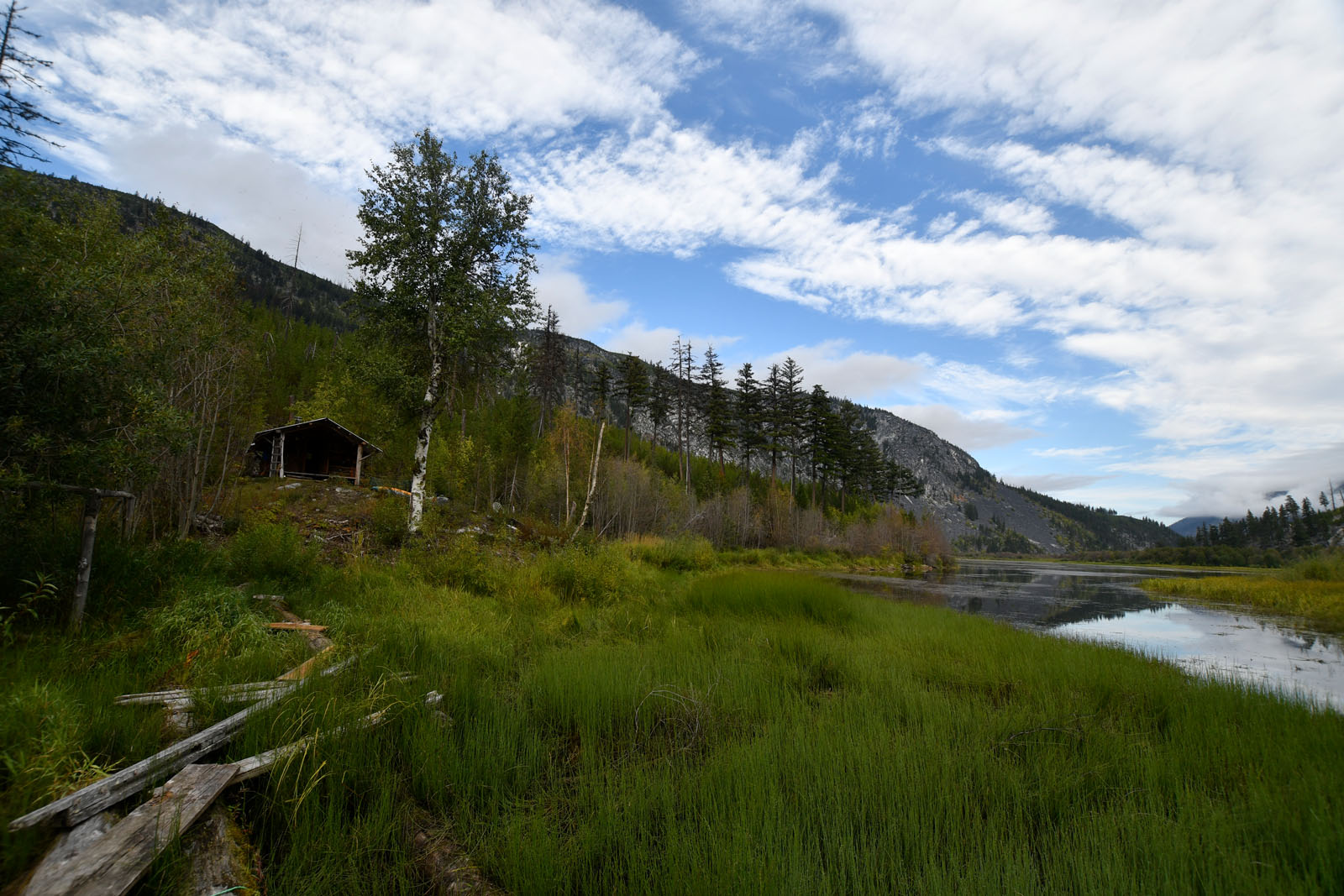
A hand-built log cabin, crafted circa 2017-2018 by well-known backcountry resident David Gladden, sits in a peaceful setting overlooking the water. There are no roads, no power lines and no neighbours in sight, only mountains, moving water and the sounds of the valley. Surrounded by protected parkland, this is a place to step back from the modern world and become the next steward of a truly storied landscape.
This is an opportunity for the right buyer: someone who values heritage, wilderness and solitude over convenience, and who wants to own a genuine piece of BC’s pioneer past.
Lonesome Lake - Tweedsmuir Park South
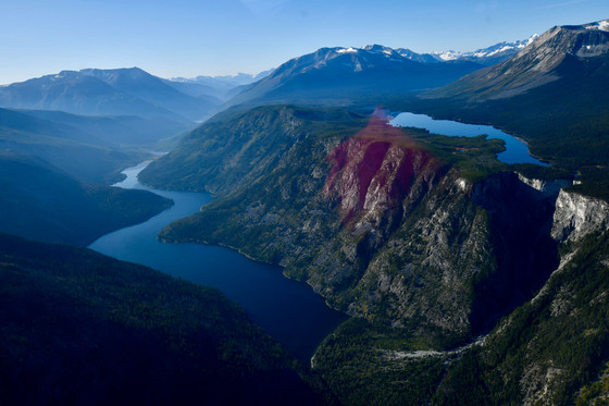
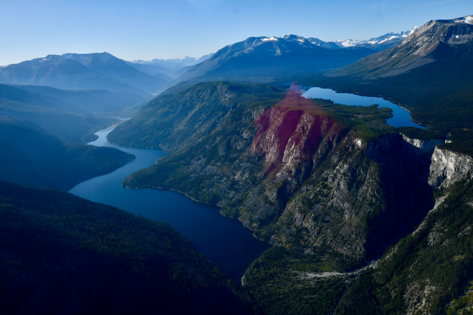
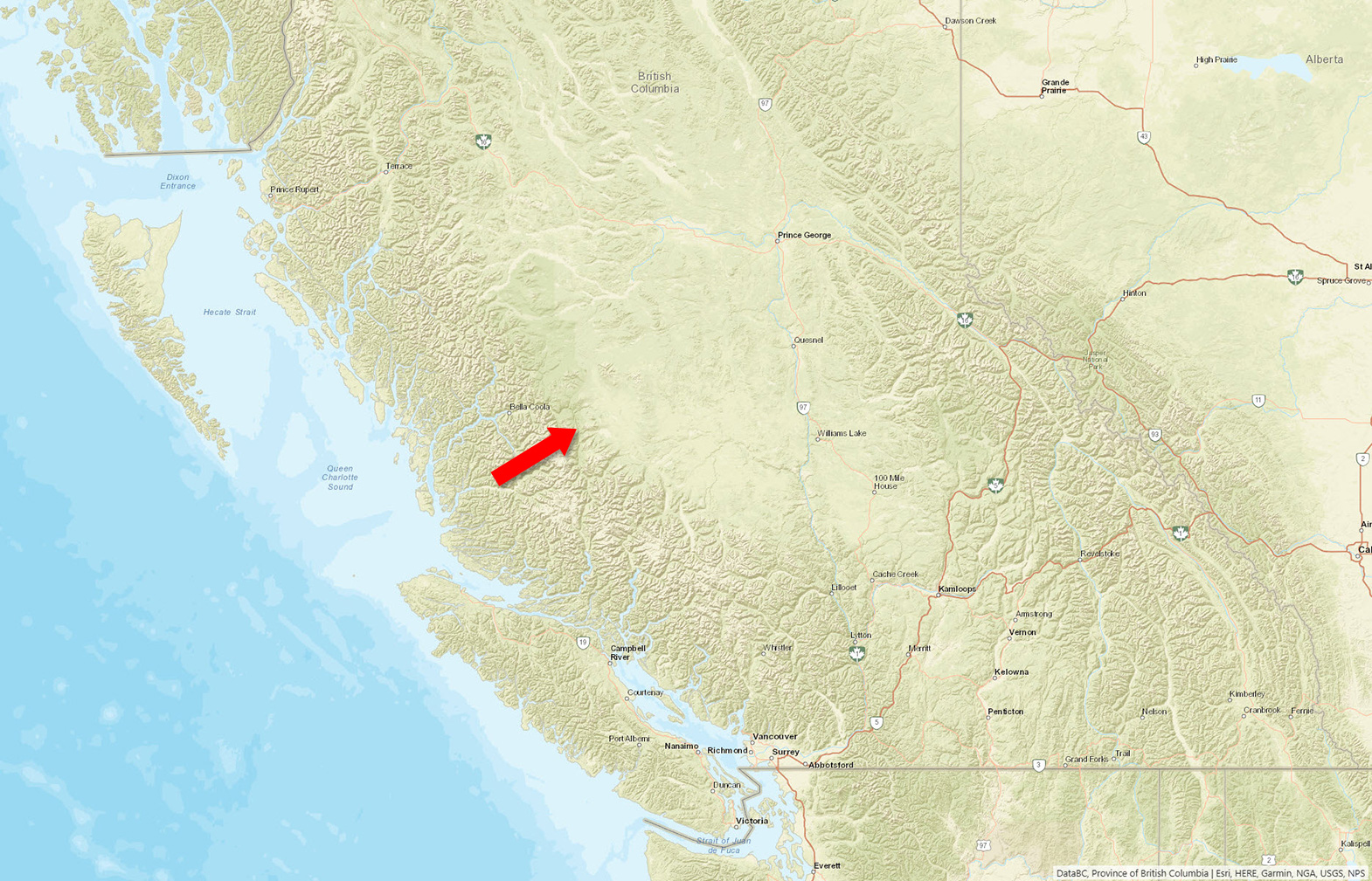
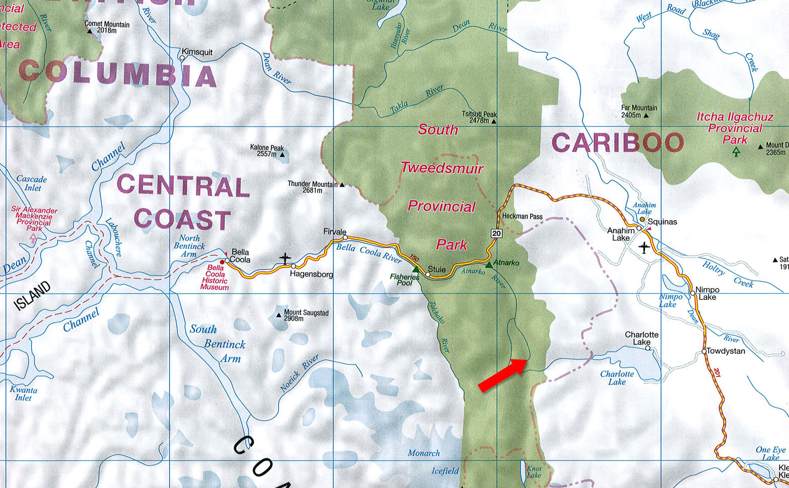
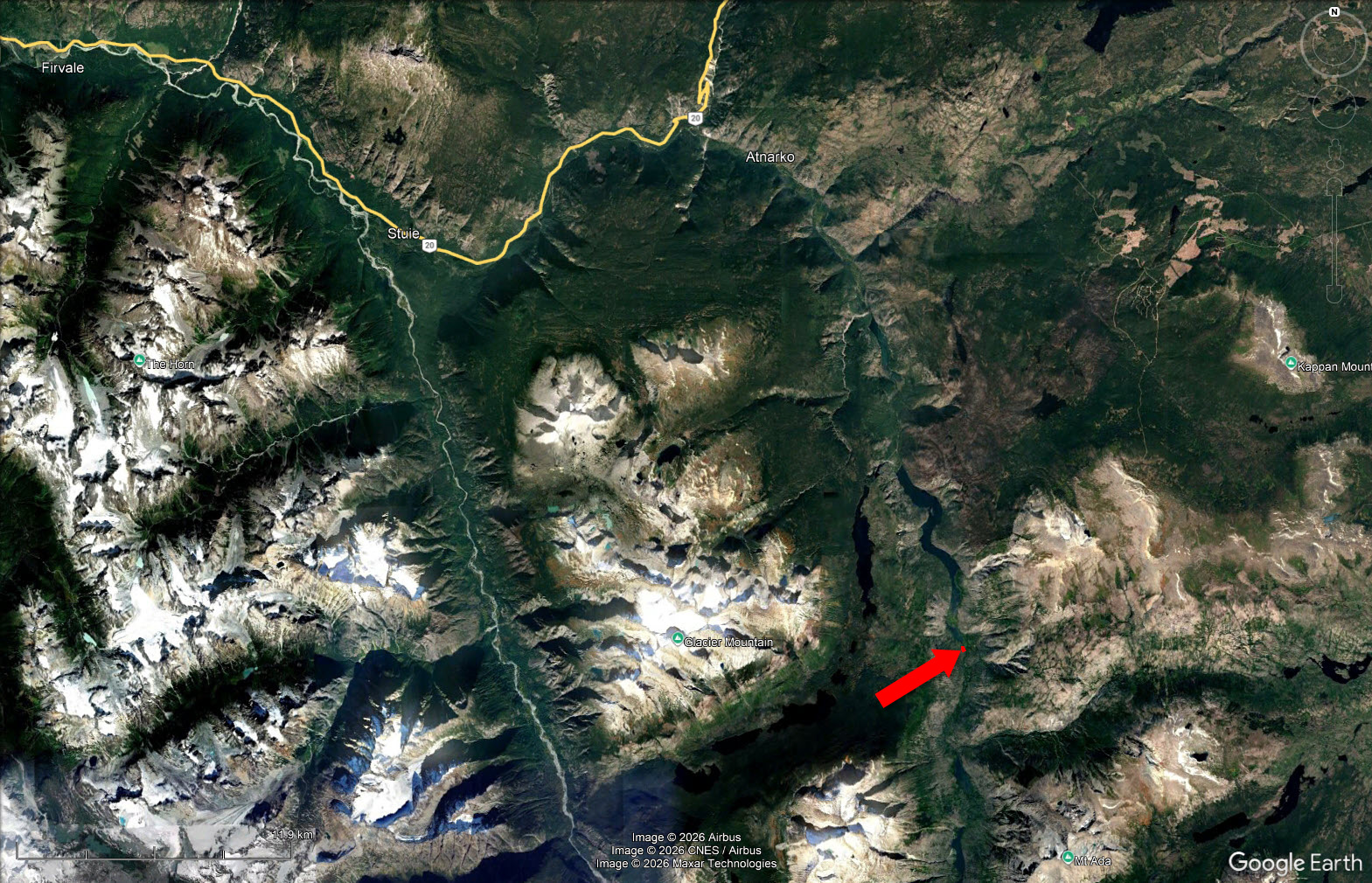
Lonesome Lake lies in the upper Atnarko River Valley within Tweedsmuir South Provincial Park, one of British Columbia’s largest and most spectacular wilderness parks. The property is a private inholding with no road access.
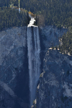
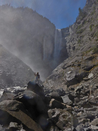
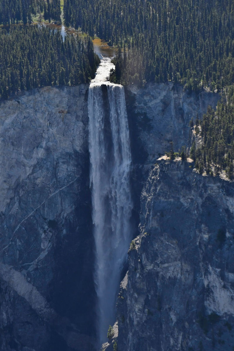
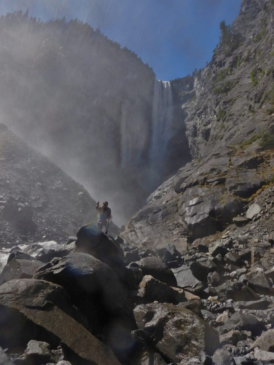
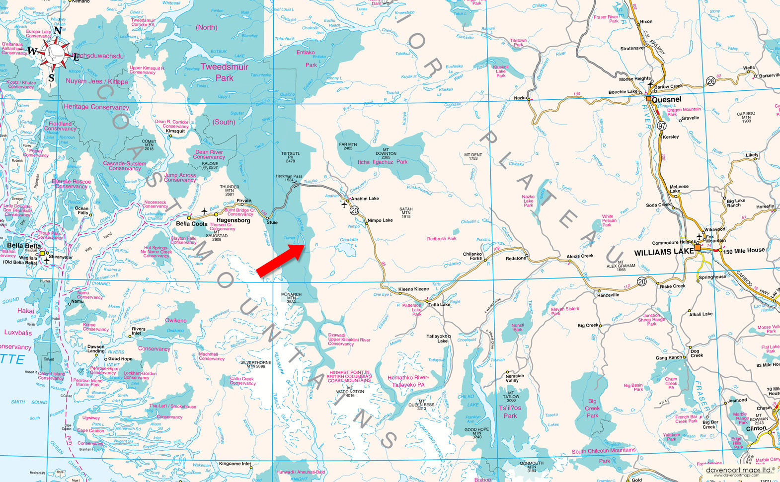
The usual approach is by floatplane charter from Nimpo Lake, the floatplane hub of the West Chilcotin on Highway 20. The scenic flight of roughly 20 minutes passes over the park’s alpine country near Hunlen Falls, one of the highest waterfalls in Canada. Floatplane landings near the cabin are best early in the season; later in the summer, aircraft typically land in deeper water downstream, with a short boat trip to the property. The park’s Lonesome Lake trail also provides seasonal foot access for the adventurous.
Supplies, services and air connections are available at Nimpo Lake and Anahim Lake in the Chilcotin, and in the Bella Coola Valley to the west, which offers daily air service to Vancouver.
Lonesome Lake lies in the upper Atnarko River valley within Tweedsmuir South Provincial Park, one of British Columbia's largest and most spectacular wilderness parks. The property has no road access and is reached most often by floatplane charter from Nimpo Lake, a scenic flight of roughly 20 minutes over the park's alpine country near Hunlen Falls. The park's Lonesome Lake trail also offers seasonal foot access. Services are available in two directions: the Bella Coola Valley to the west, and the West Chilcotin communities of Nimpo Lake and Anahim Lake to the east.
The Bella Coola Valley is a remote coastal community of approximately 2,000 people, set along a long, narrow valley. Highway 20 runs from the government wharf on the Pacific Ocean through Bella Coola, Hagensborg and Firvale before climbing to the Chilcotin Plateau, and nearly all residents live along or near it. Bella Coola and Hagensborg offer grocery and hardware stores, gas stations and repair shops, Canada Post offices, a credit union, a veterinary clinic, an organic market, an outdoor rink and pool, and numerous arts, gift and coffee shops. The Bella Coola General Hospital has a walk-in clinic and pharmacy. There are four schools in the valley, including elementary, middle and high schools and a K-12 school on the 4-Mile reserve. The Bella Coola Valley and neighbouring inlets are the traditional territory of the Nuxalk people; more on their rich cultural heritage can be found on the Bella Coola website.
To the east, Nimpo Lake sits on the Chilcotin Plateau along paved, year-round Highway 20, approximately 300 km west of Williams Lake and 160 km east of Bella Coola, framed by the Coast Mountains, Itcha Mountains and Ulkatcho Range. Known as the Floatplane Capital of British Columbia, it is home to two established air charter companies. It also offers a general store, fuel, a bakery, a restaurant, accommodations and postal services. Nearby Anahim Lake provides a medical clinic, ambulance station, RCMP detachment, volunteer fire department, and elementary and high schools, with school bus service throughout the area. The area lies within the traditional territory of the Ulkatcho First Nation, whose main community is at Anahim Lake. The local economy is built on tourism, aviation, forestry, ranching, construction and government services. Williams Lake and Bella Coola provide larger shopping, healthcare and professional services.
The property sits where the wet Pacific coast meets the dry Chilcotin interior, and its forests show it. Coastal western redcedar grows alongside interior Douglas-fir, with subalpine fir, spruce, lodgepole pine and paper birch on the surrounding slopes. Willow, salmonberry and cottonwood line the riverbanks, and the understory includes devil’s club, ferns, soapberry, wild ginger and other plants long used by First Nations for food and medicine.
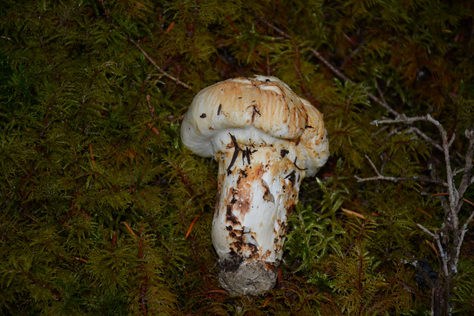
The Lonesome Lake area has attracted scientific interest for this unusual mix. A botanical survey undertaken with the BC Parks Foundation recorded close to 200 plant specimens in the area, including species found well outside their known ranges. In season, the forest floor also produces choice wild mushrooms such as pine mushrooms, chanterelles and morels.
For copies of the Scientific reports on flora and fauna of the South Tweedsmuir Park and Lonesome Lake area, provided by the seller, contact listing the listing agent.
The upper Atnarko Valley has been home to Indigenous peoples for thousands of years. It lies where the coastal territory of the Nuxalk Nation meets the lands of the Tŝilhqot'in (Chilcotin) and Ulkatcho peoples of the interior plateau, and was part of the network of ancient trade routes, known as the Grease Trails, that linked the coast with the interior. The rich sockeye runs between Lonesome Lake and Tenas Lake drew people down from the plateau each year. Hunlen Falls takes its name from Hunlen, a Chilcotin chief who came down to set fish traps in the Lonesome Lake area, and early resident Frank Ratcliff told of finding old fish-drying racks upstream of the lake, left by Chilcotin families who travelled here to harvest salmon. Nearby Turner Lake is named for George Turner, one of the area's earliest prospectors and settlers, who made his home base near Towdystan; he and his Chilcotin wife raised a family whose descendants are part of today's Chilcotin and Ulkatcho communities.
In 1912, Ralph Edwards arrived at Lonesome Lake and began carving a homestead out of the wilderness by hand, clearing land, planting orchards and building his own home. Over the following decades, the Edwards family became renowned for feeding and protecting the Trumpeter Swans that wintered on the lake at a time when the species was in serious decline. Their story reached readers around the world through Leland Stowe's 1957 book, Crusoe of Lonesome Lake.
In 1965, this parcel was separated from the original homestead and sold, and it remained largely untouched for about 50 years. In 2015, it was purchased by David Gladden, who hand-built the present log cabin around 2017-2018 and spent winters living in it. In 2021, the BC Parks Foundation acquired the surrounding former Edwards homestead, known as "The Birches," following a public fundraising campaign, ensuring its protection. This parcel remains one of the few private properties in the Lonesome Lake valley, and a rare chance to own part of this long and layered history.
The property has approximately 110 metres of frontage on the Atnarko River and approximately 50 metres on the Lonesome Lake lagoon, and is otherwise surrounded by protected conservation lands and Tweedsmuir South Provincial Park.
52°12'35.02"N and 125°42'38.42"W
None - off-grid.
$889.14 (2026)
None - no zoning in this area.
Lot 1, District Lot 121, Range 3, Coast District, Plan 14757
PID 004-538-960
 +8 maps
Our property descriptions and geographical information are taken from the BC Assessment Authority, Land Titles Office, government maps and other sources. While LandQuest® does not guarantee the information, we believe it to be accurate, but should not be relied upon without verification. This communication is not intended to cause or induce breach of an existing agency agreement.
Atnarko
 18℃
11℃
18℃
11℃