


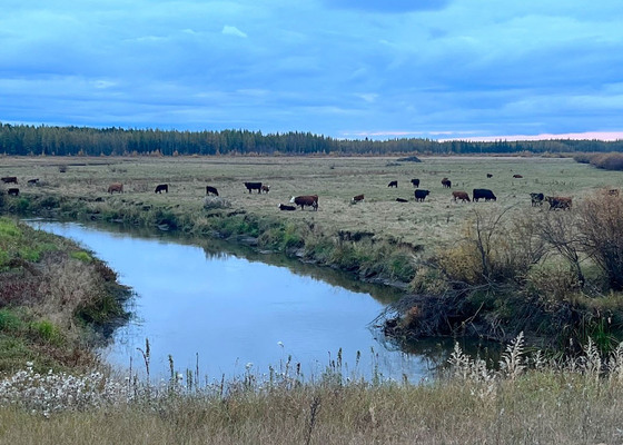
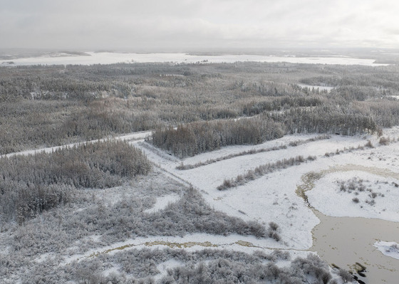
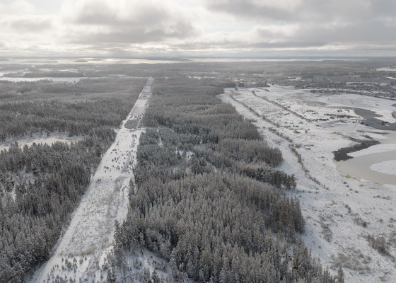
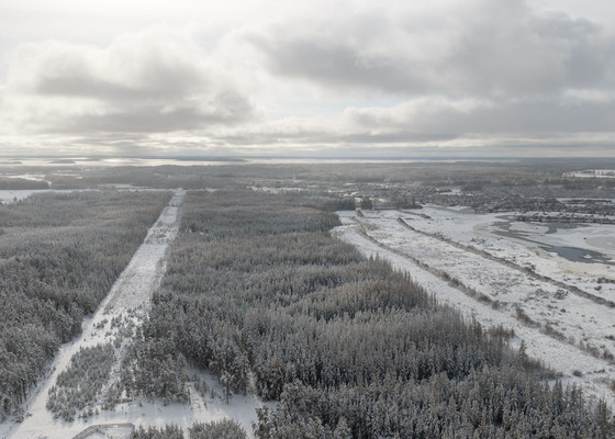
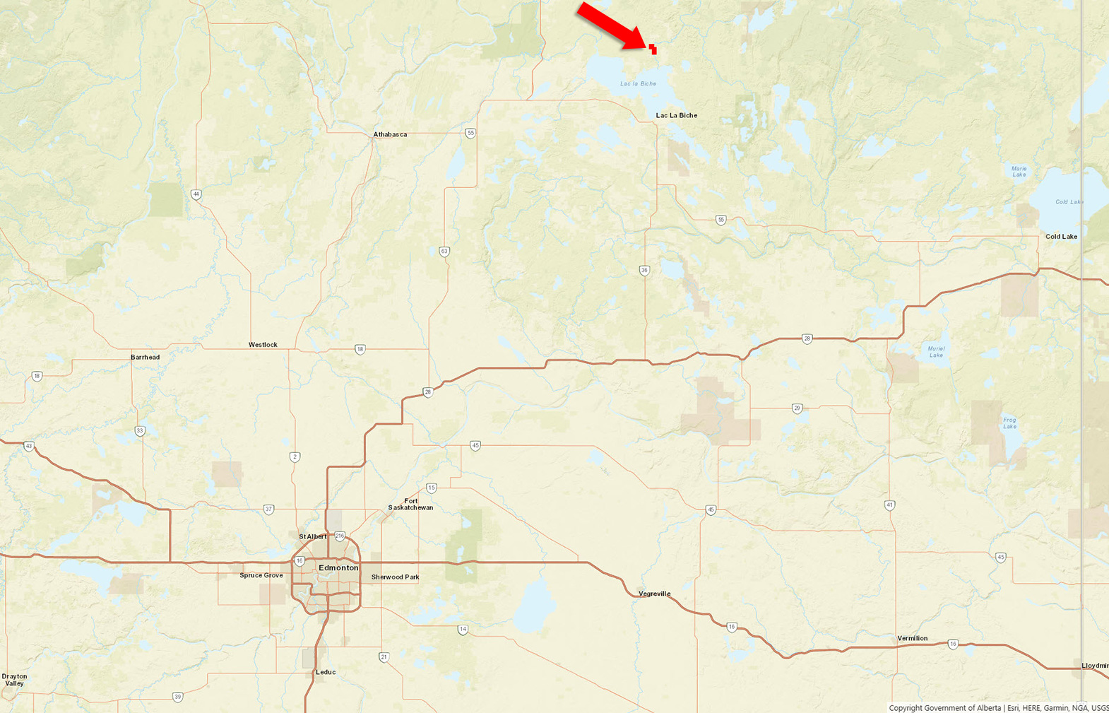
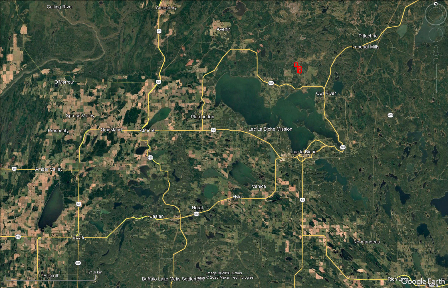
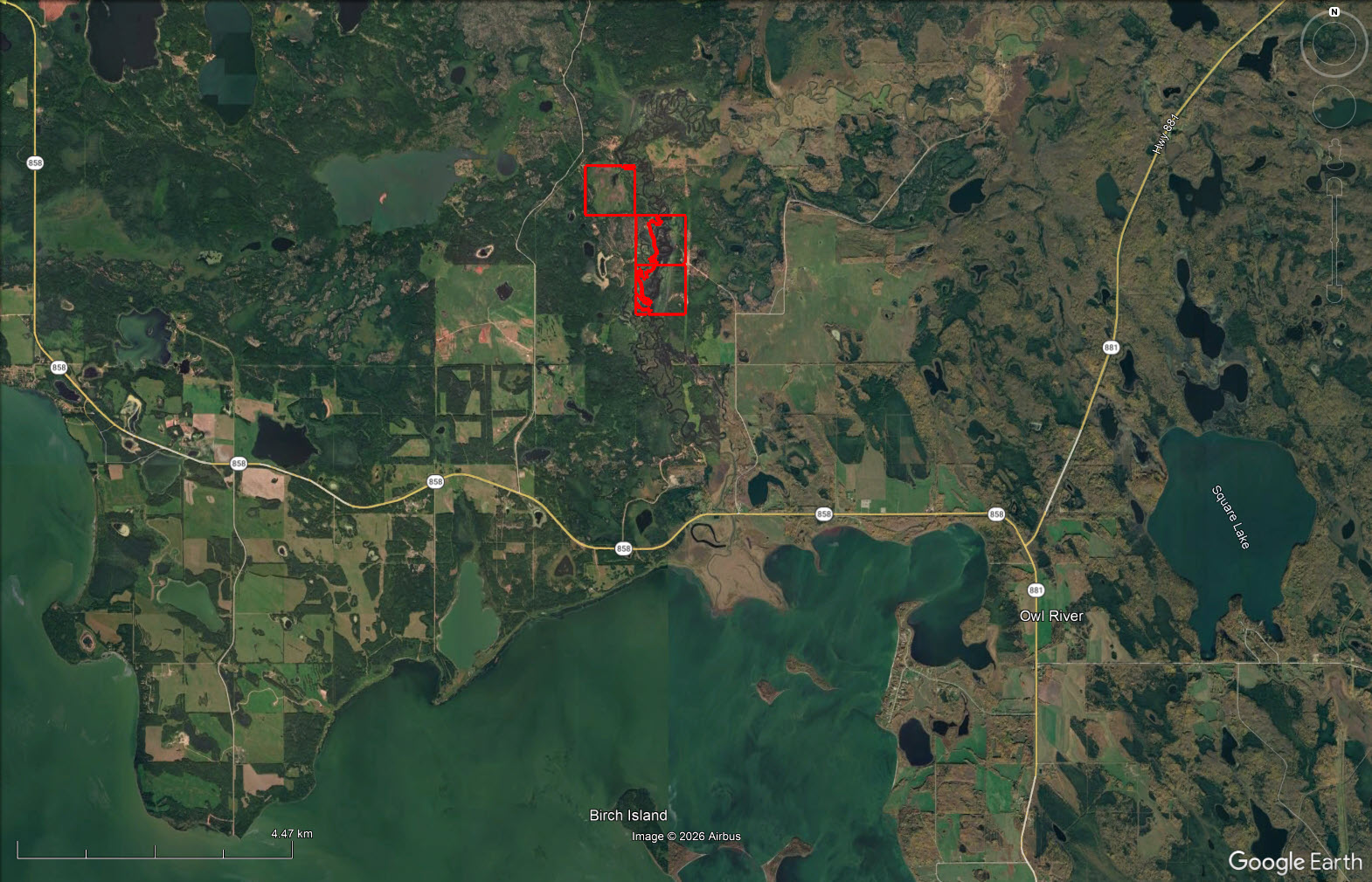
Approximately 1,280 contiguous acres combining three deeded parcels, a Forest Grazing Licence and a Grazing Lease along the Owl River. With abundant water, existing fencing, access from both Range Road 135 and Old Conklin Road, this is an excellent starter ranch or expansion opportunity.
 +44 photos
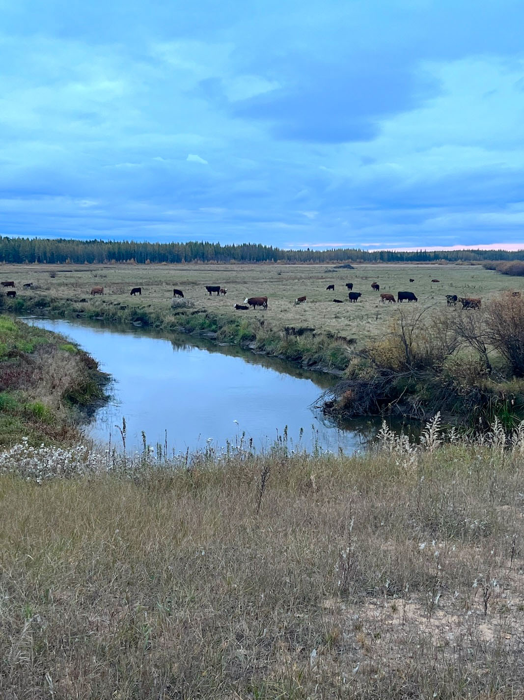
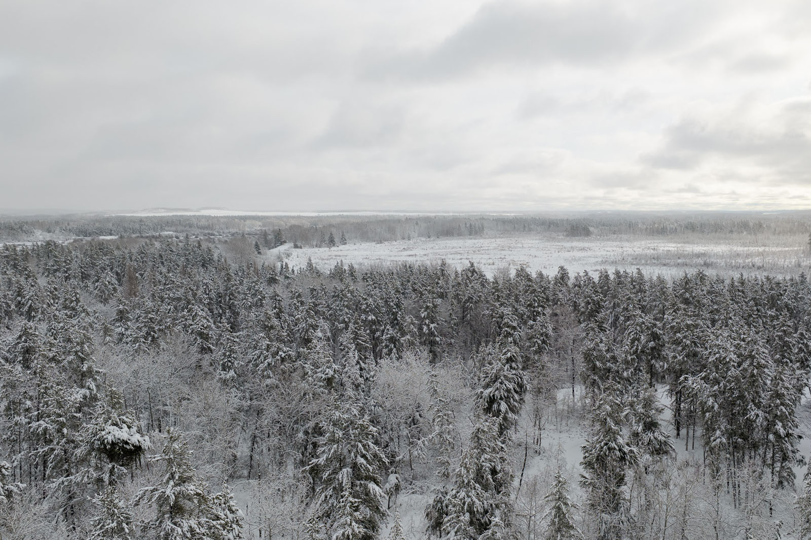
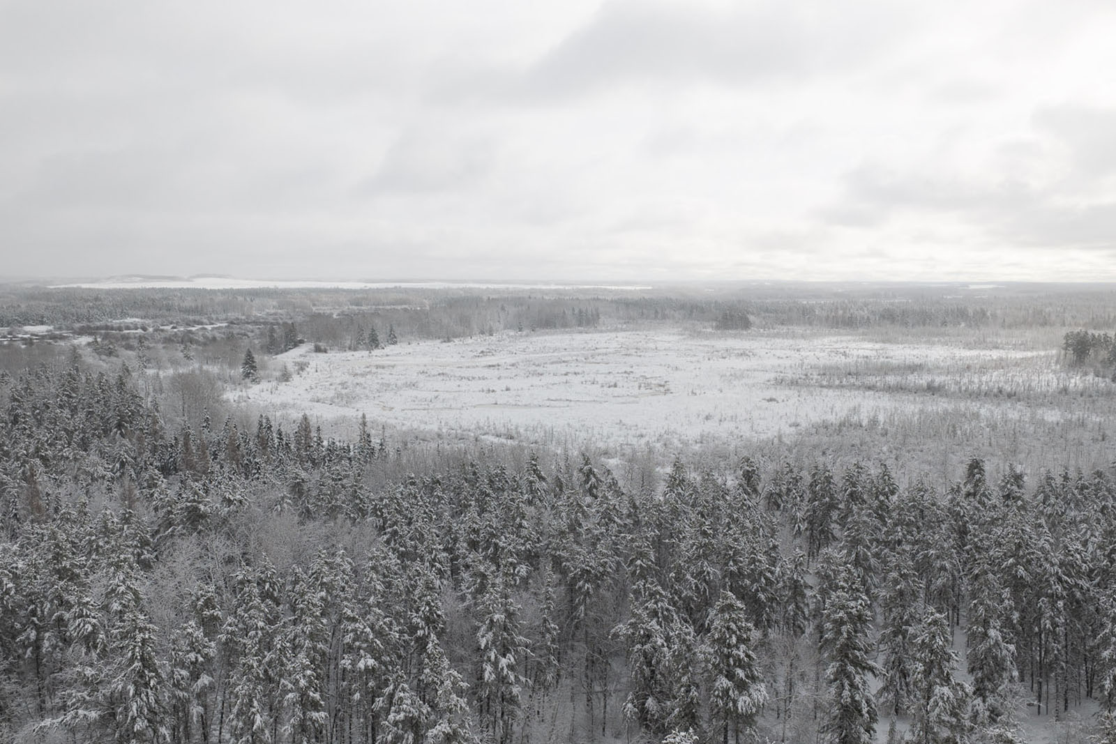
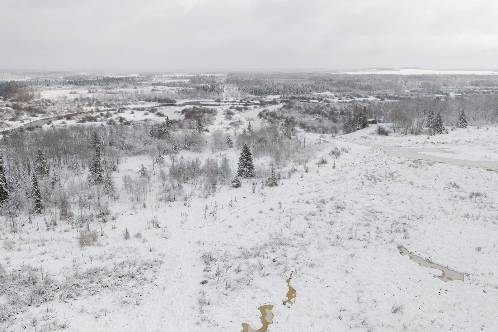
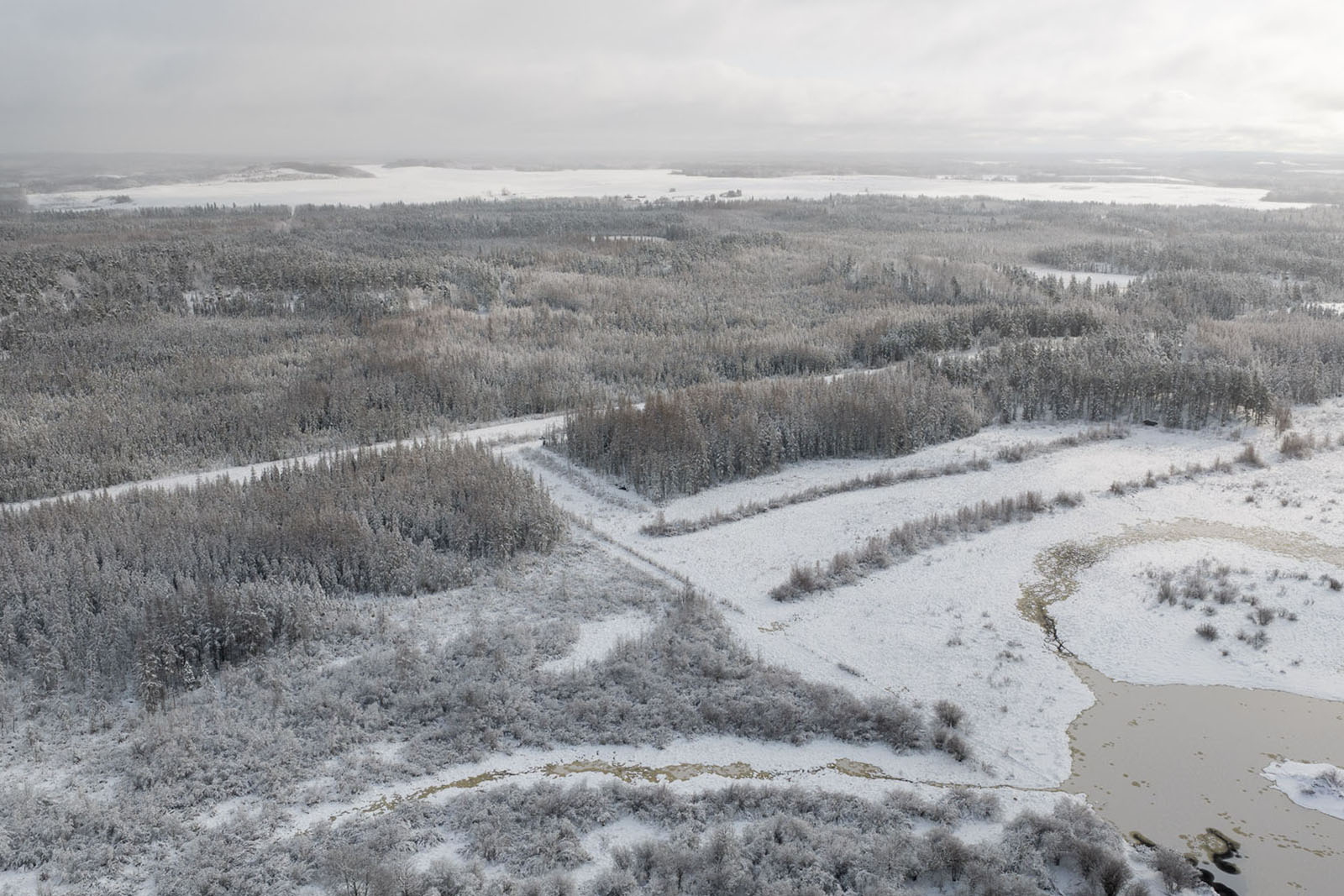
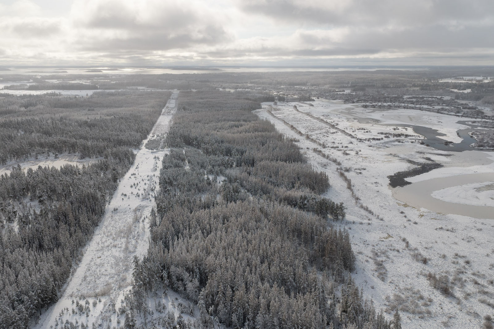
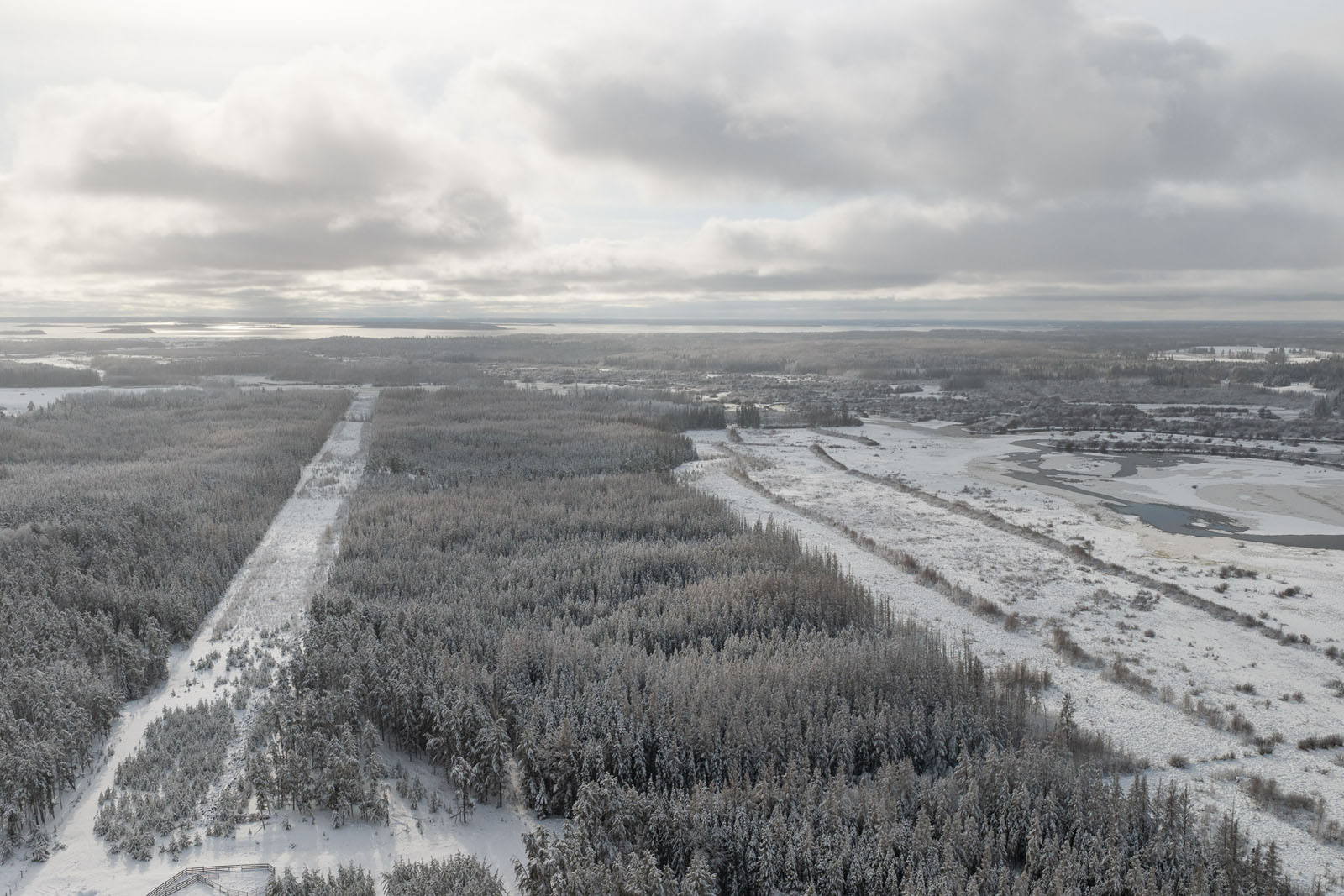
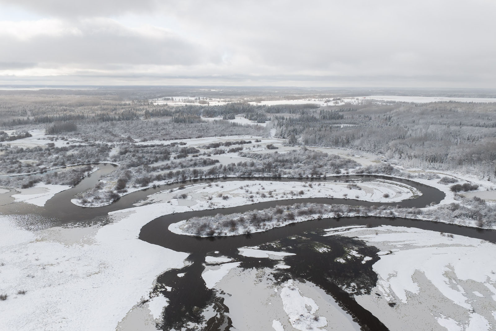
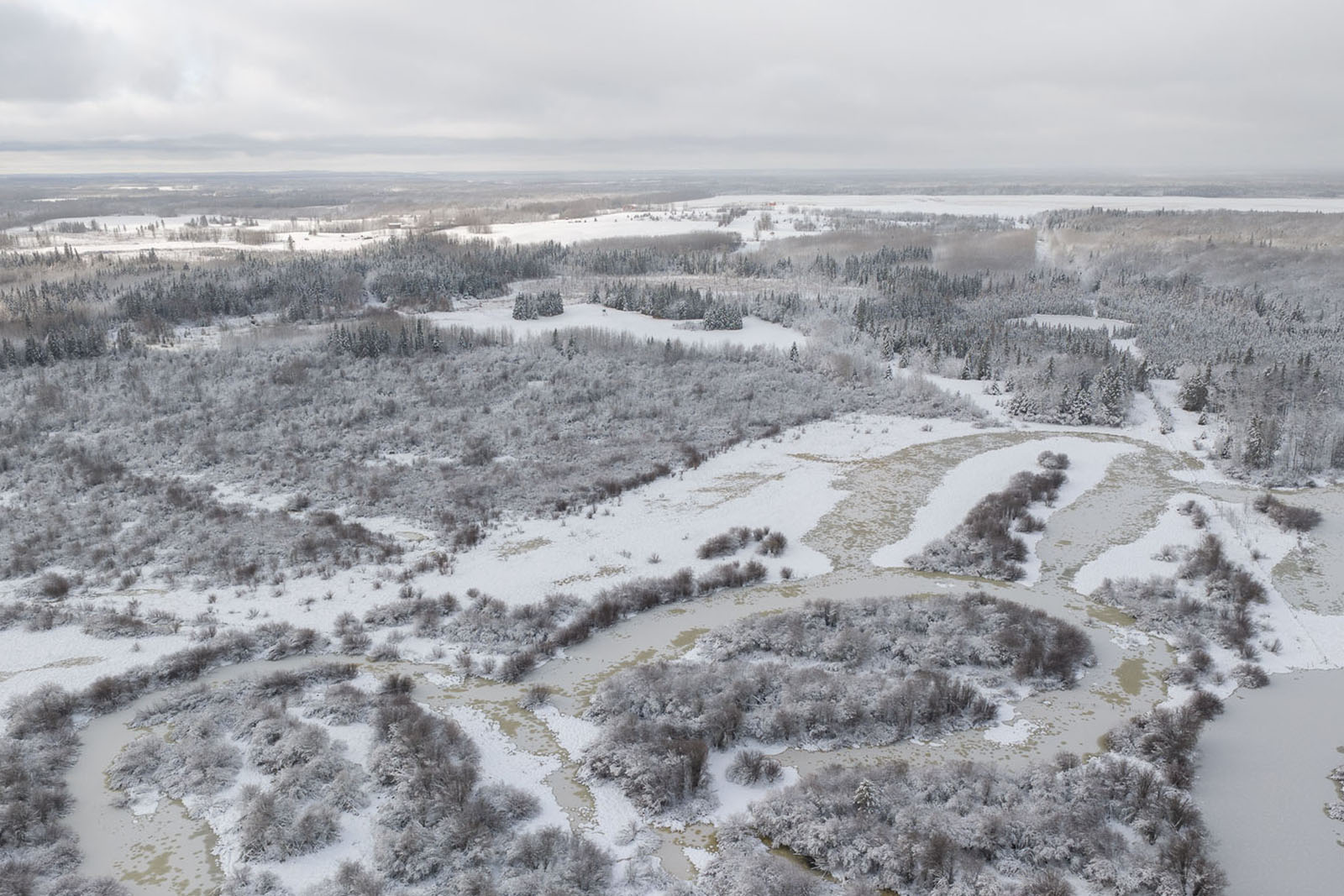
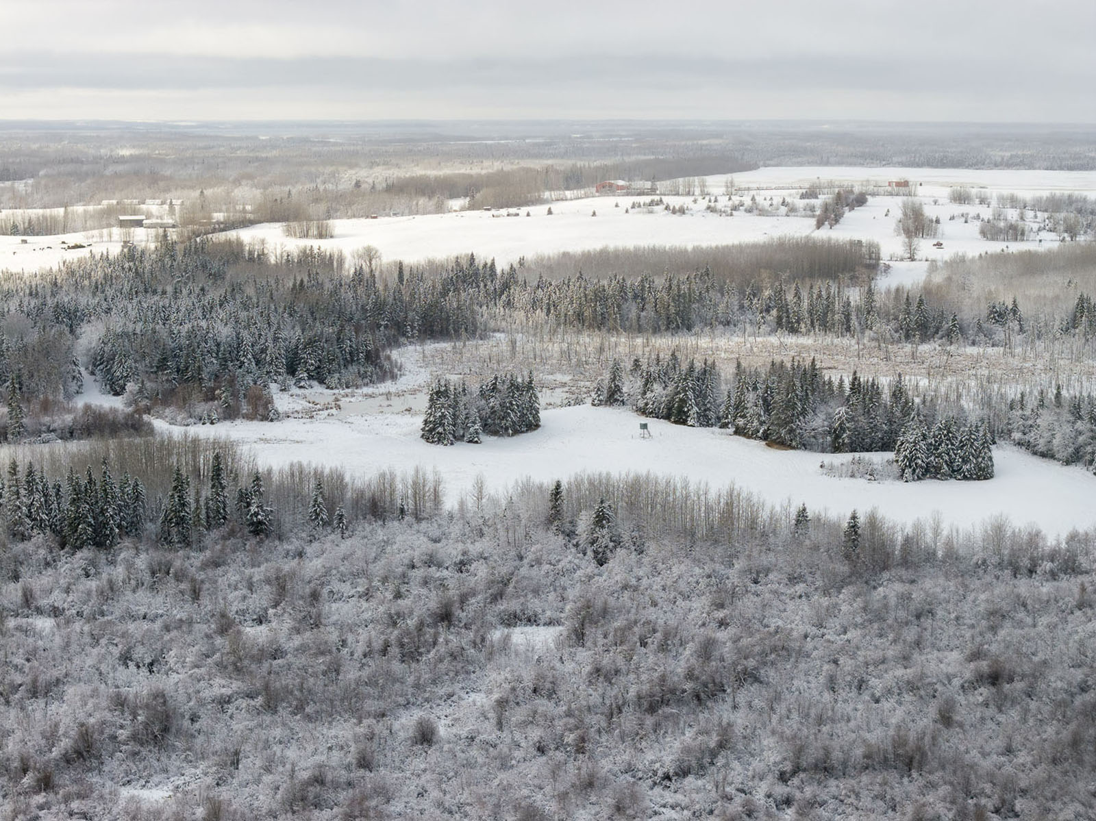
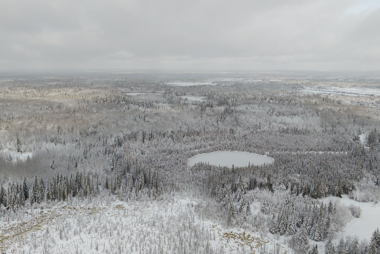
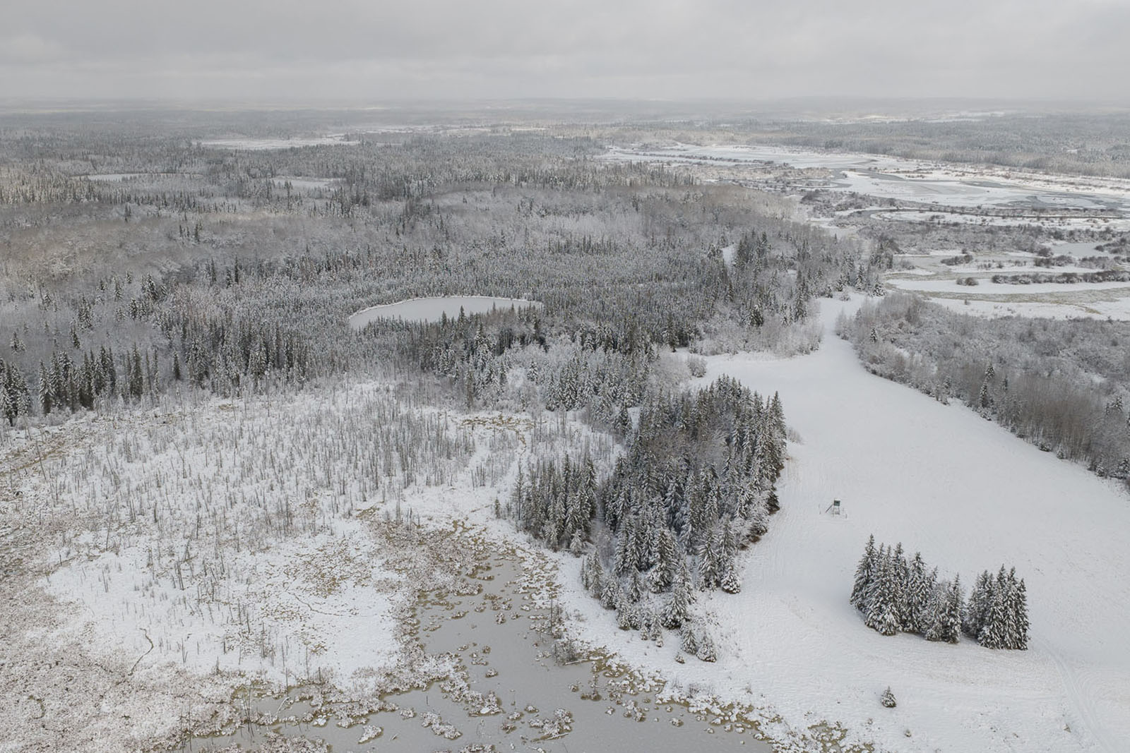
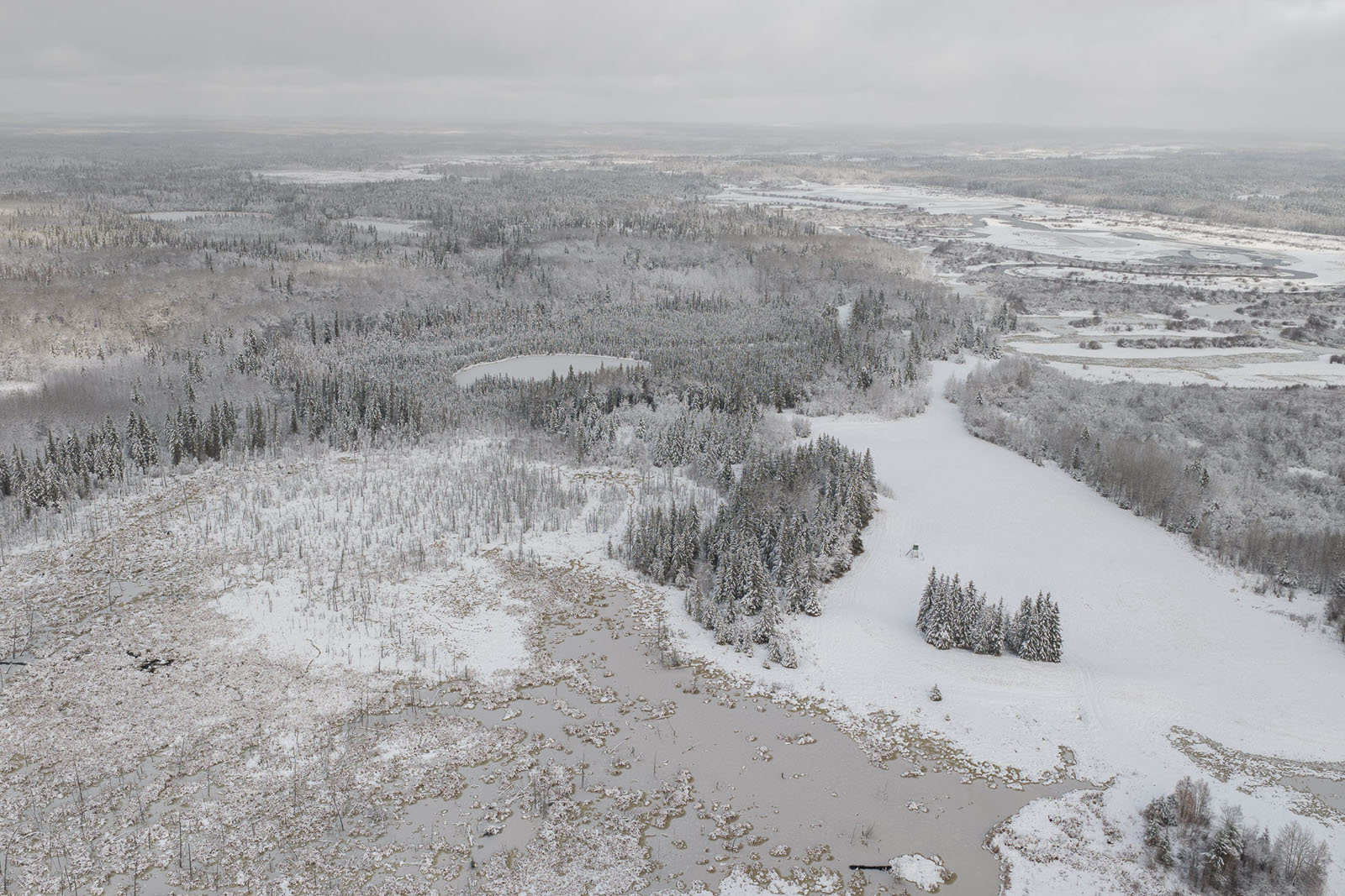
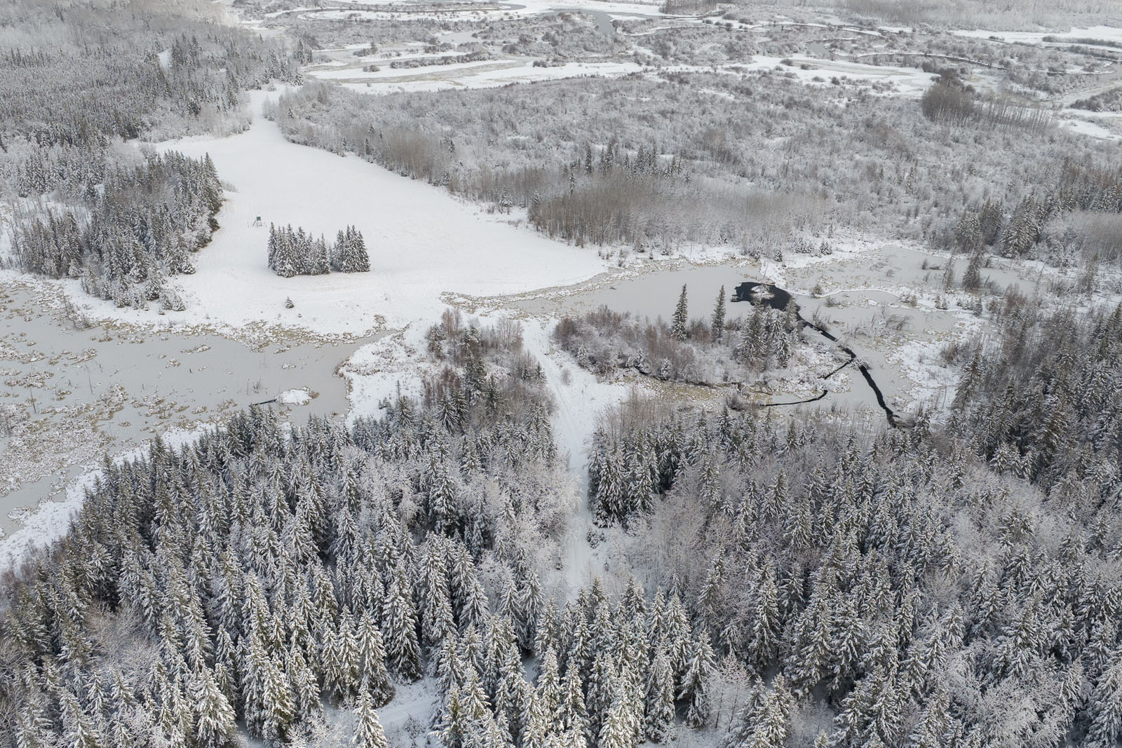
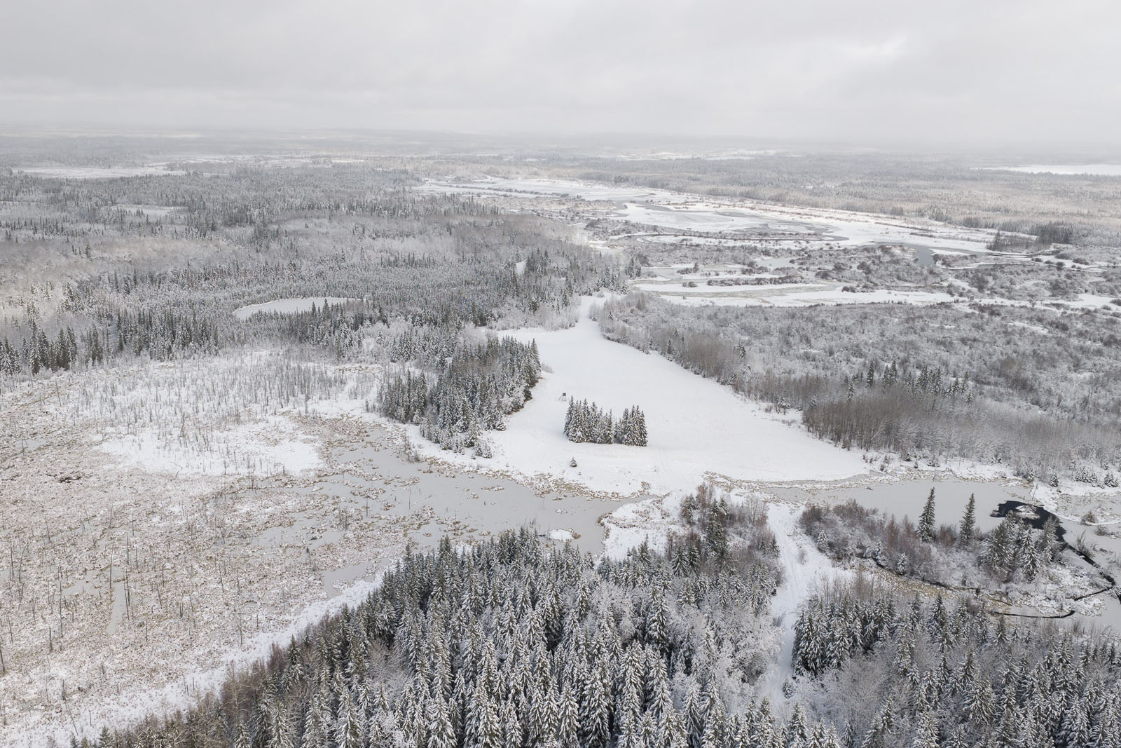
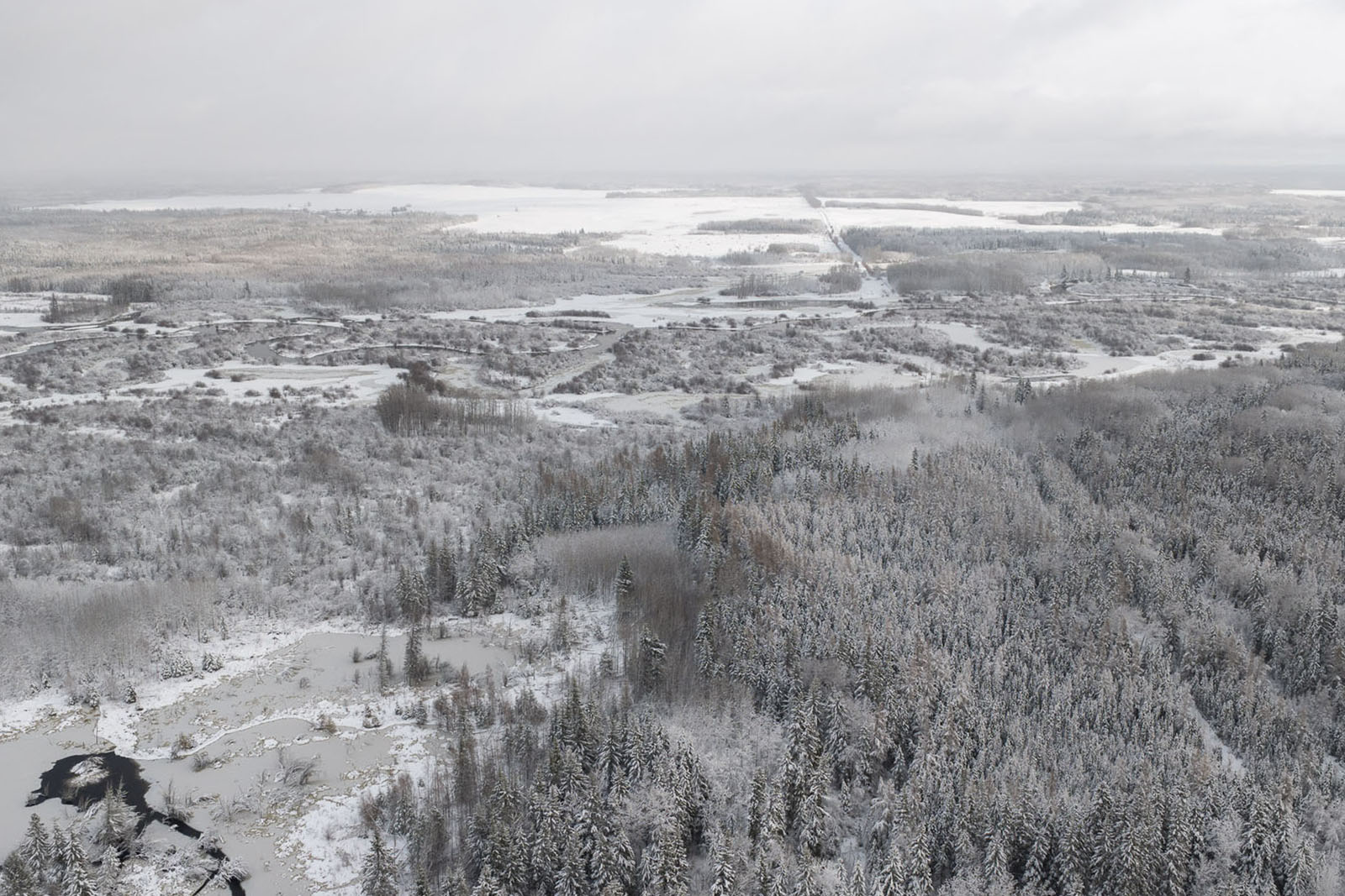
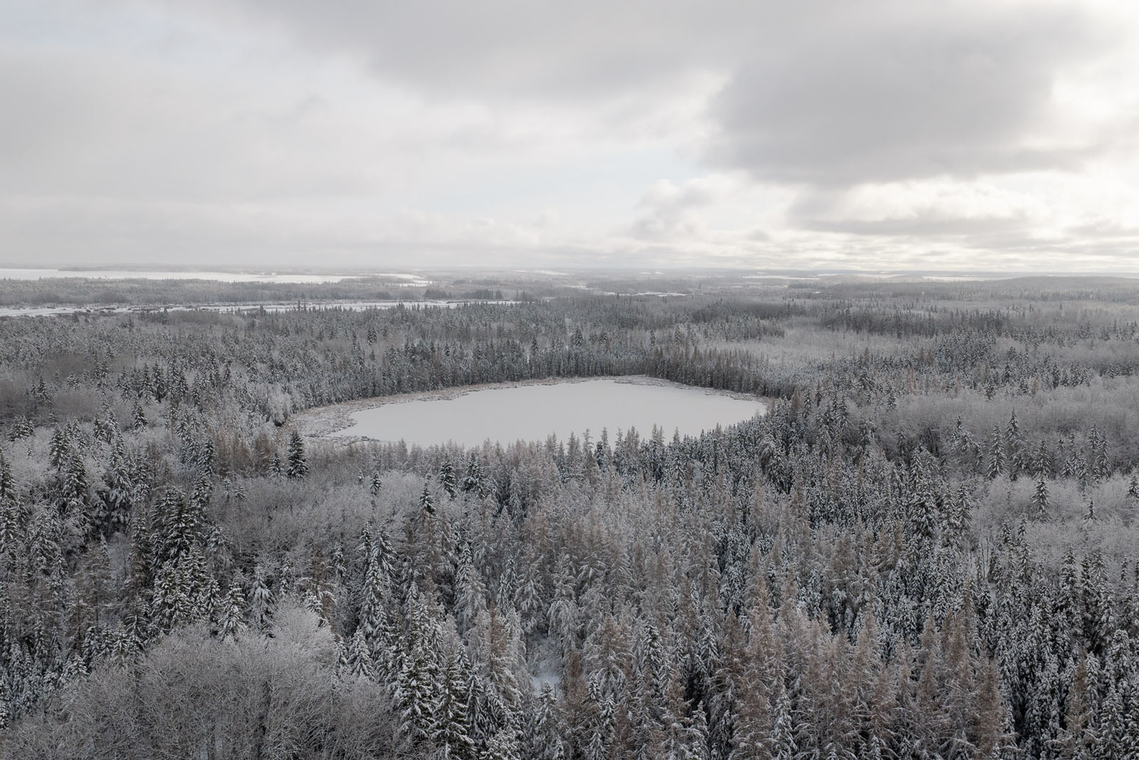
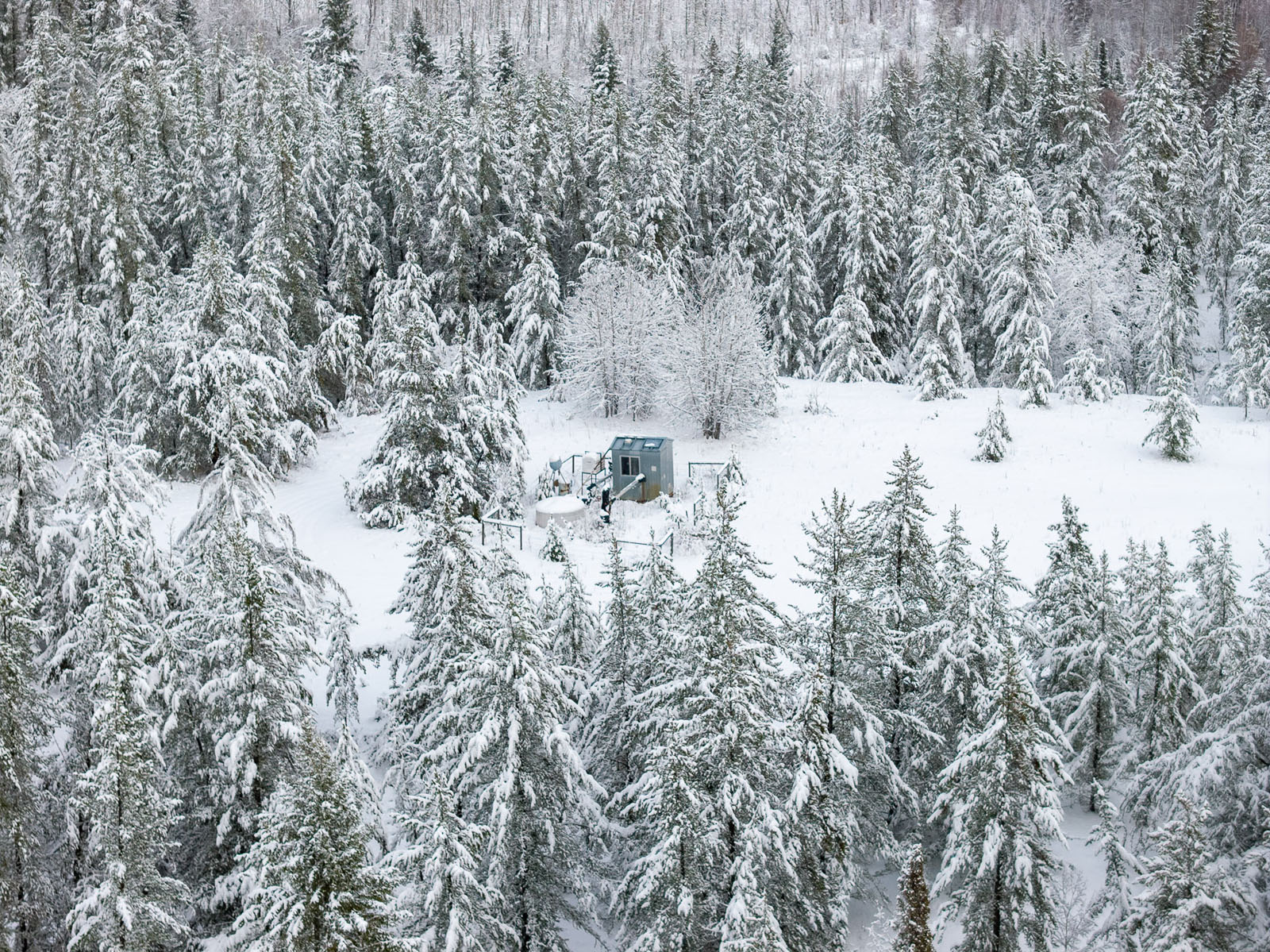
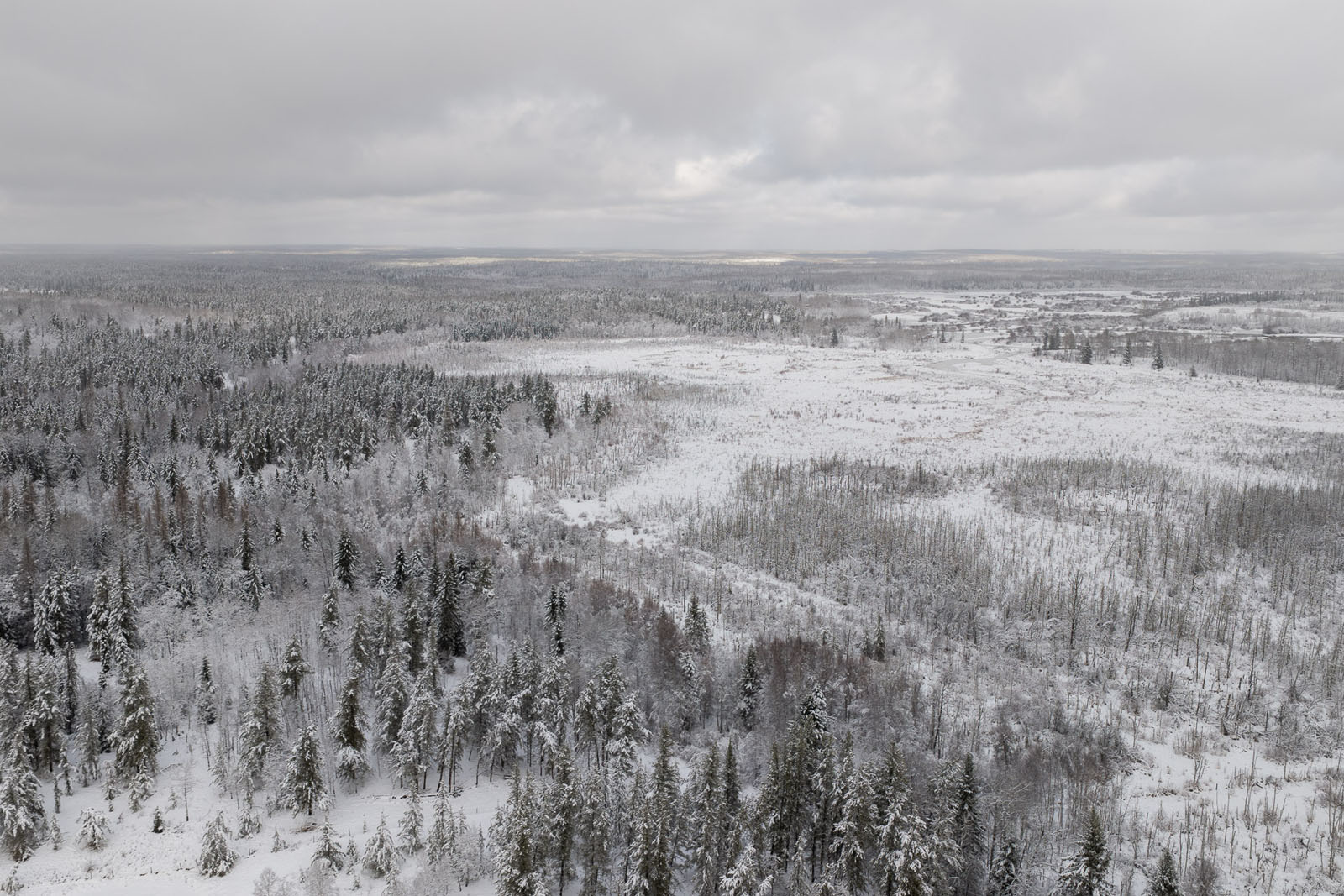
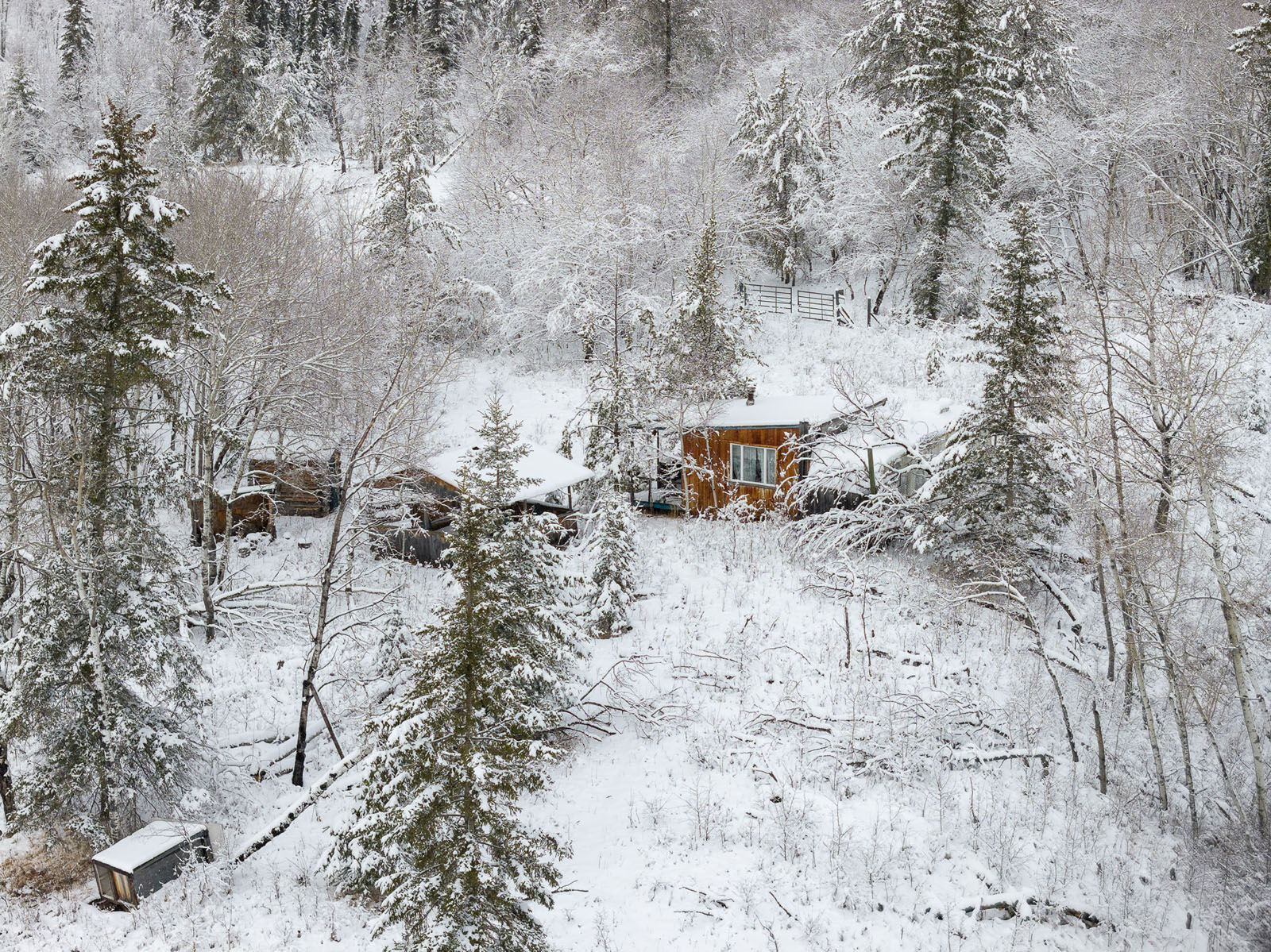
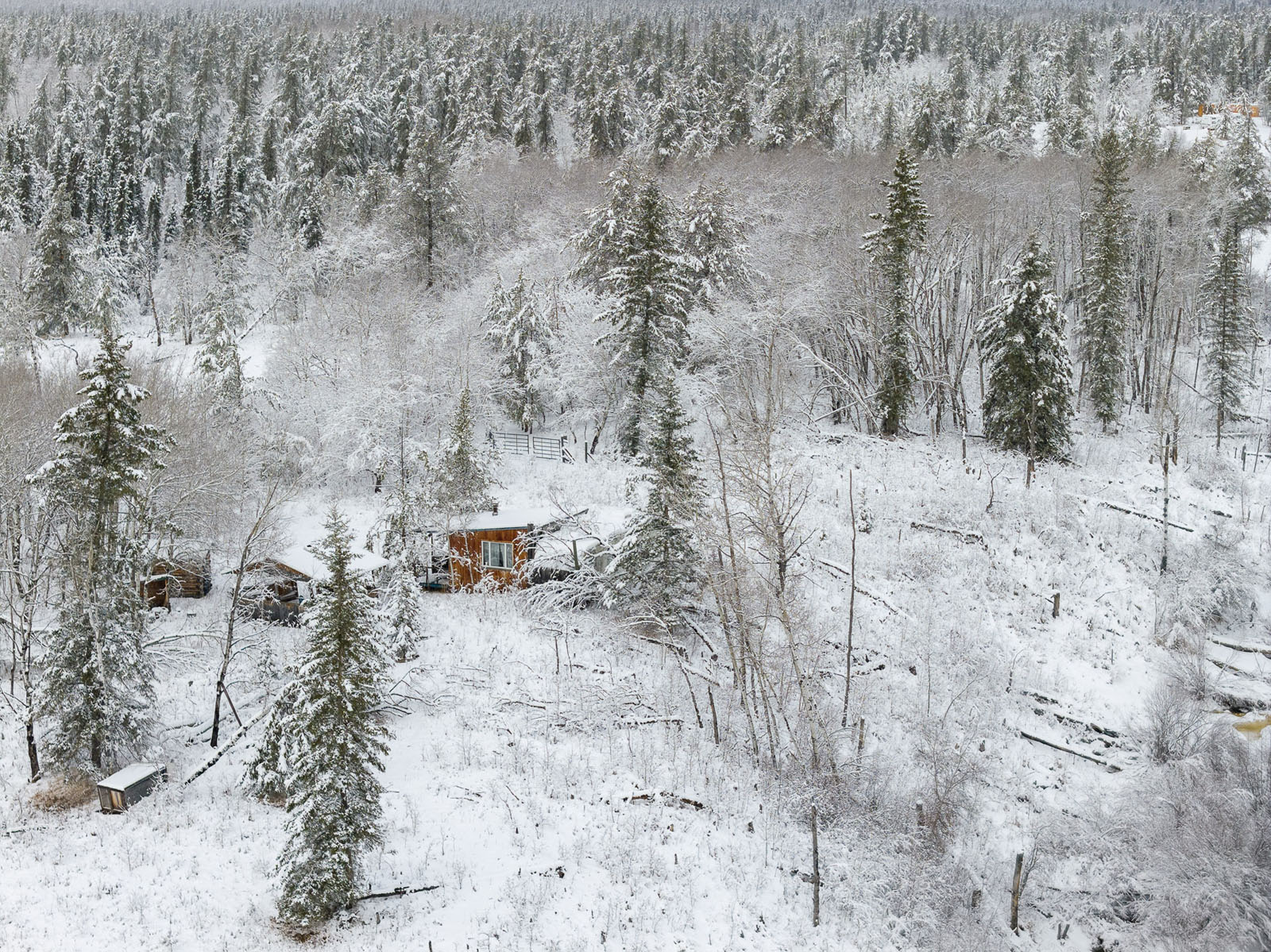
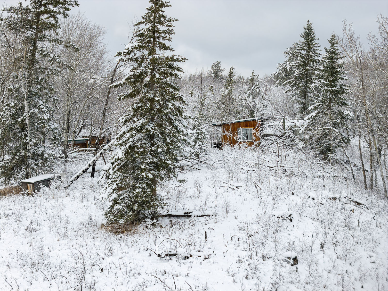
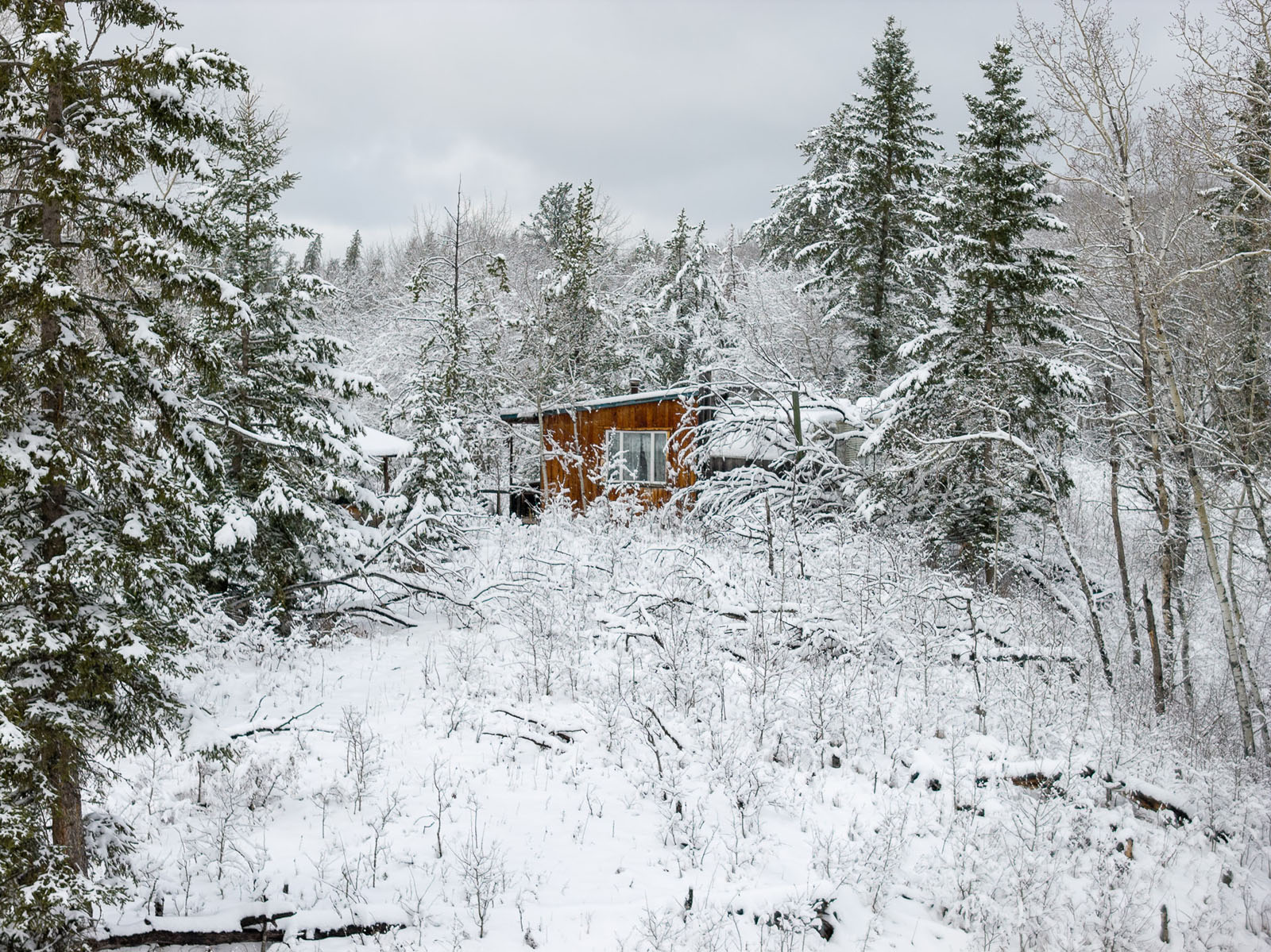
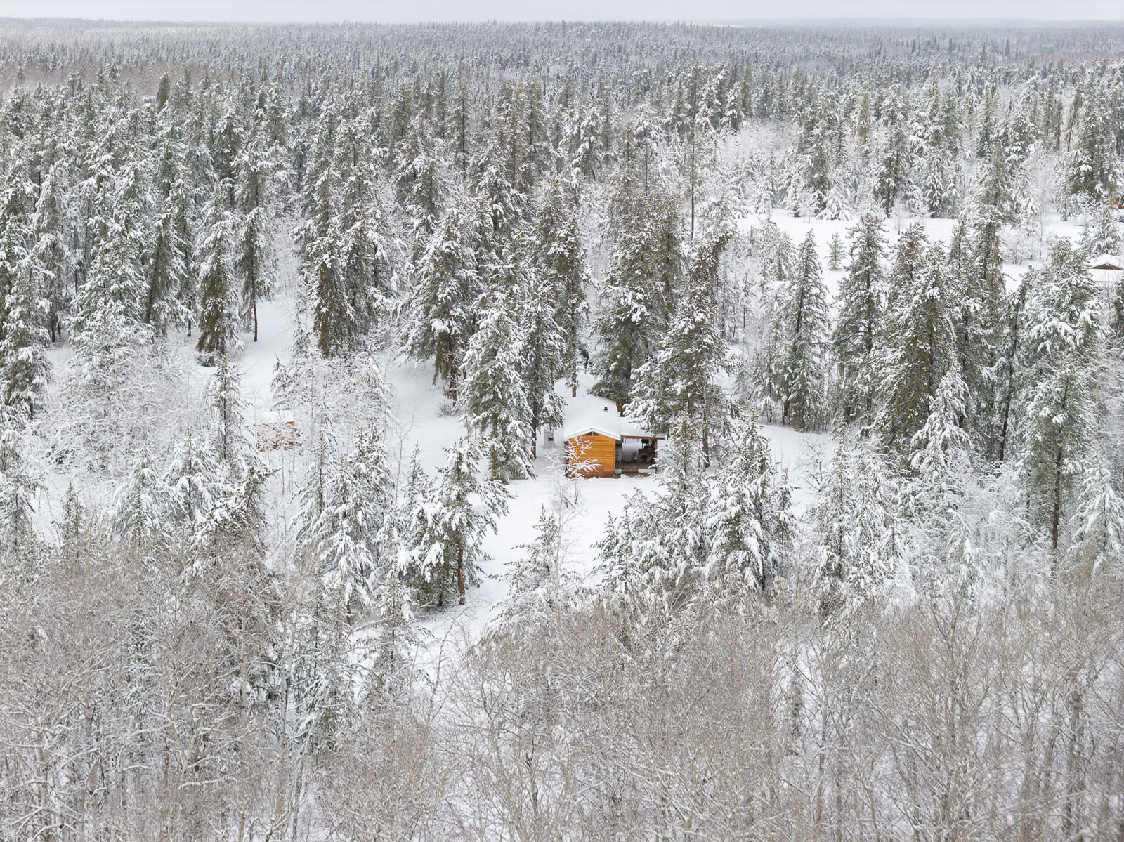
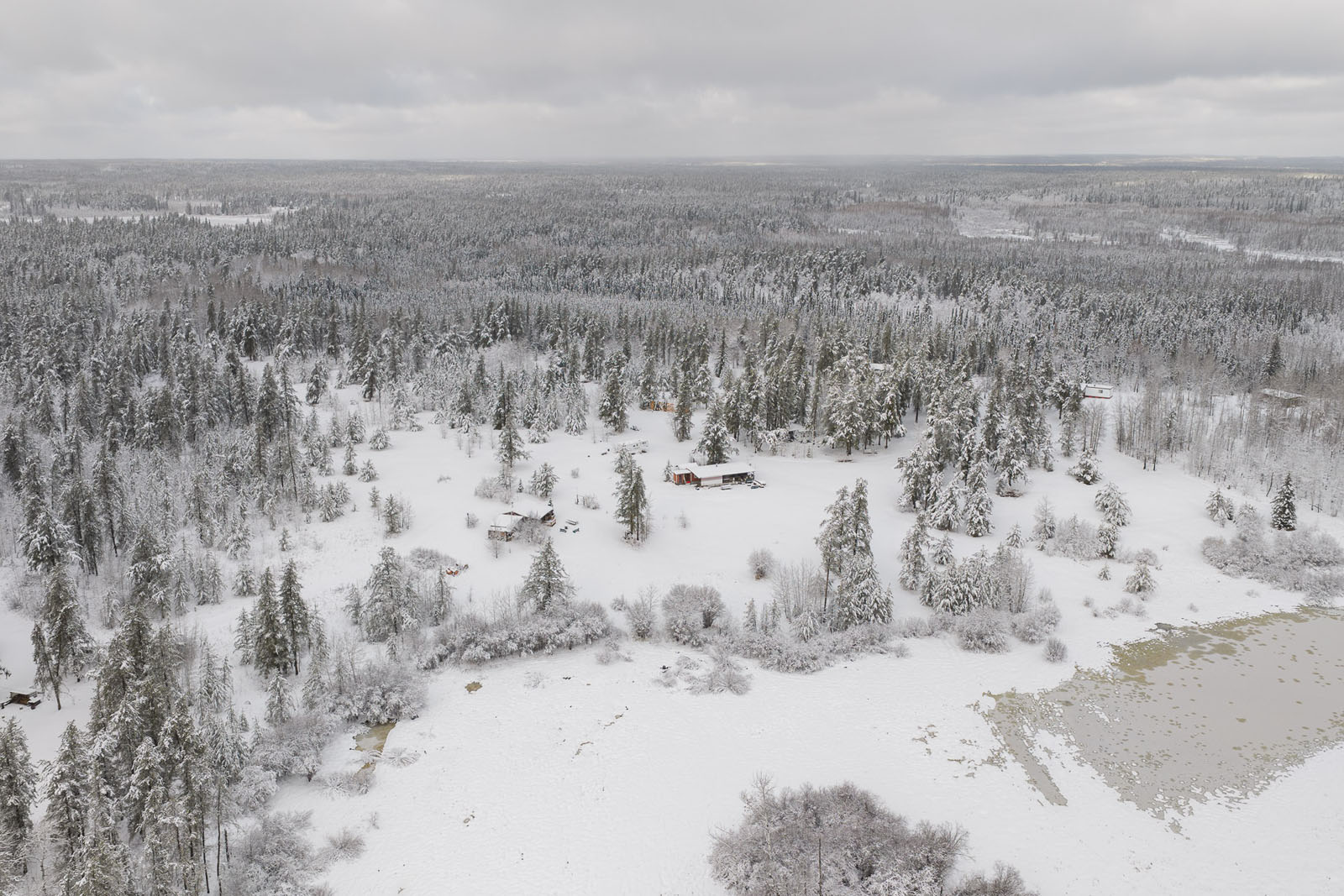
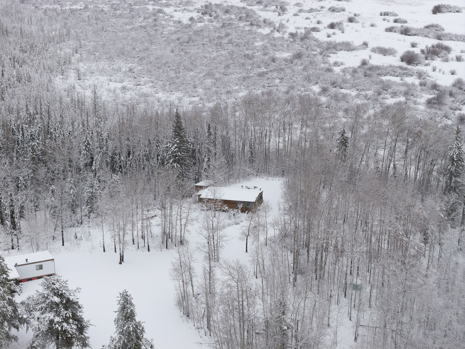
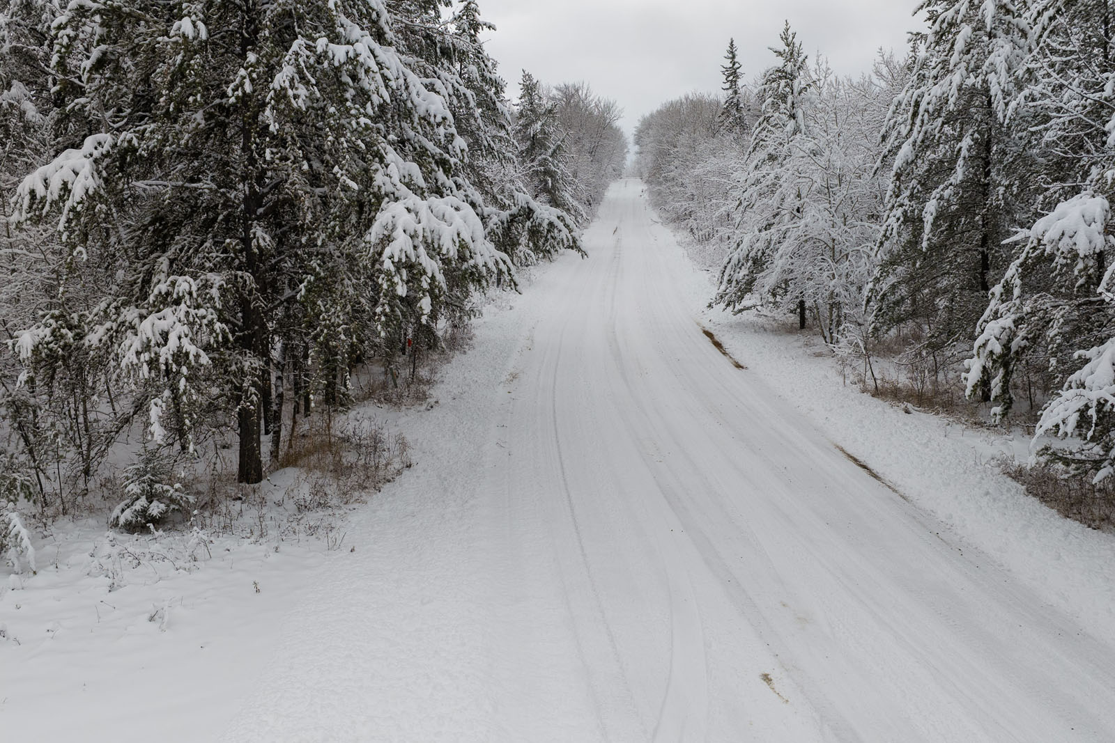
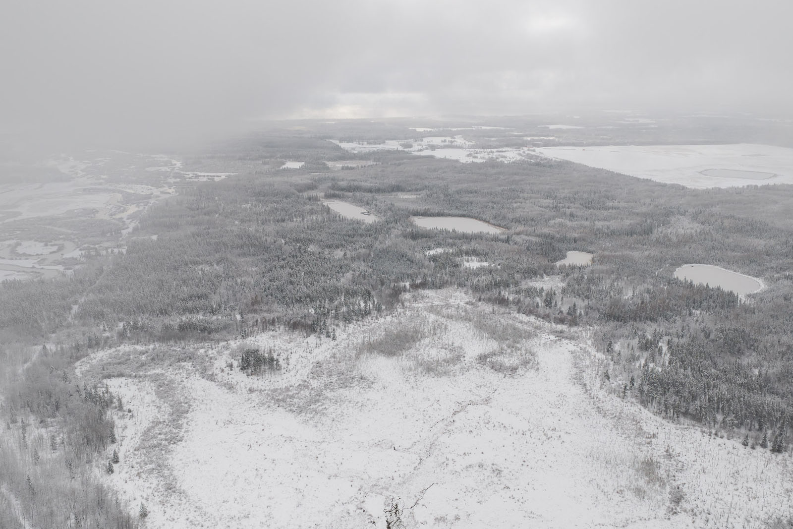
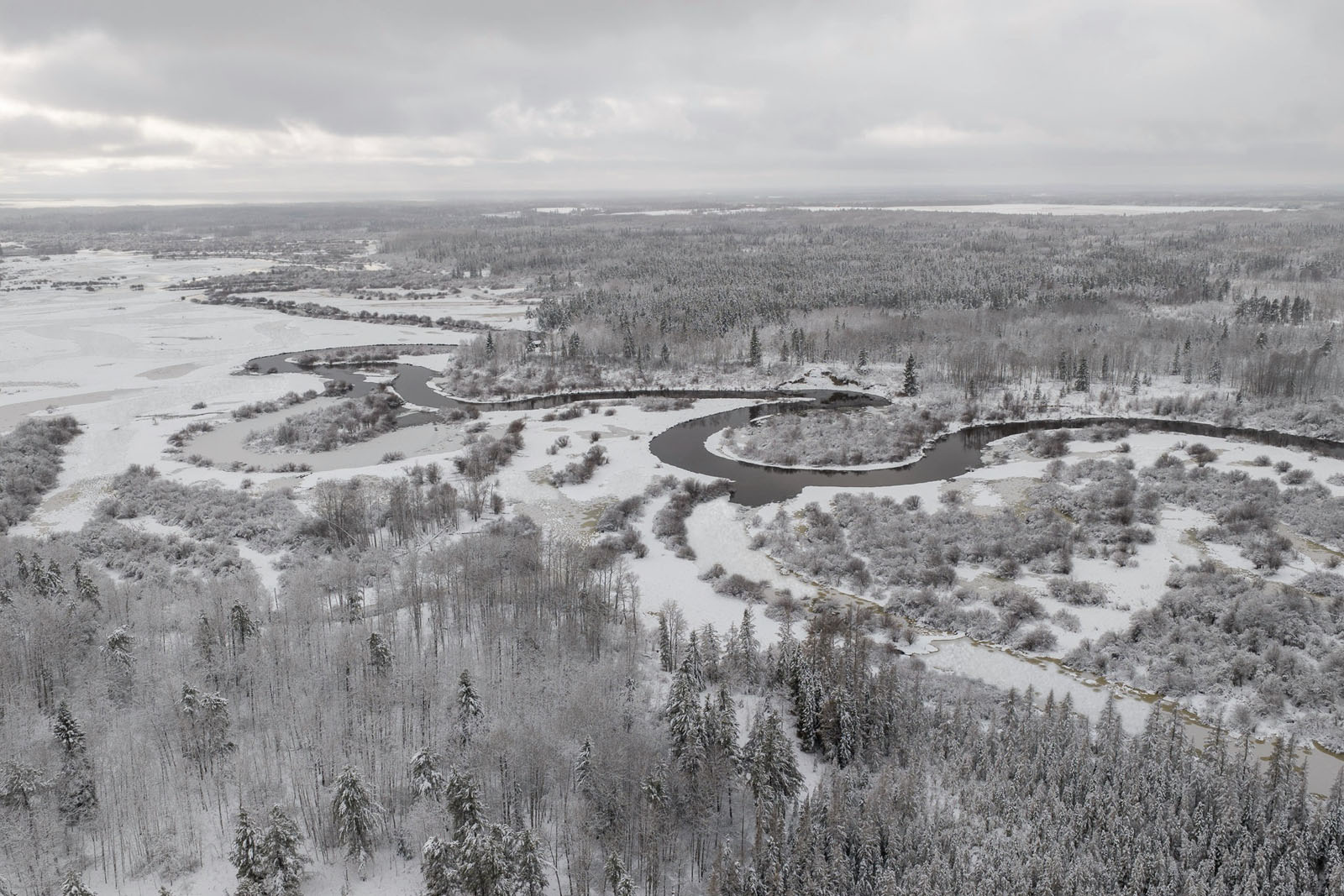
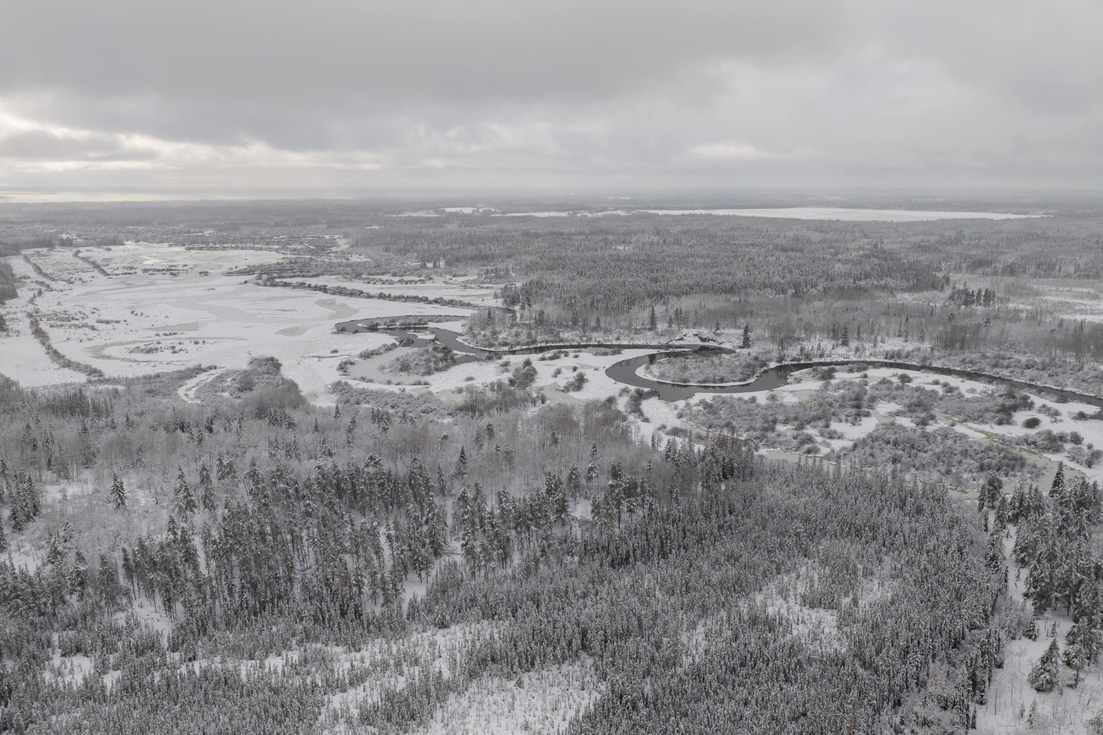
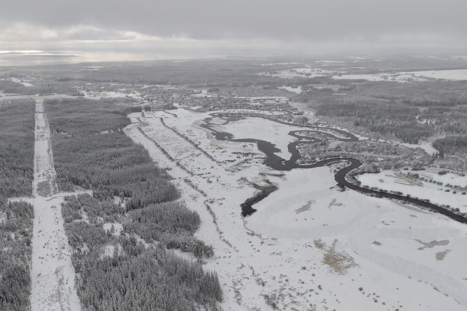
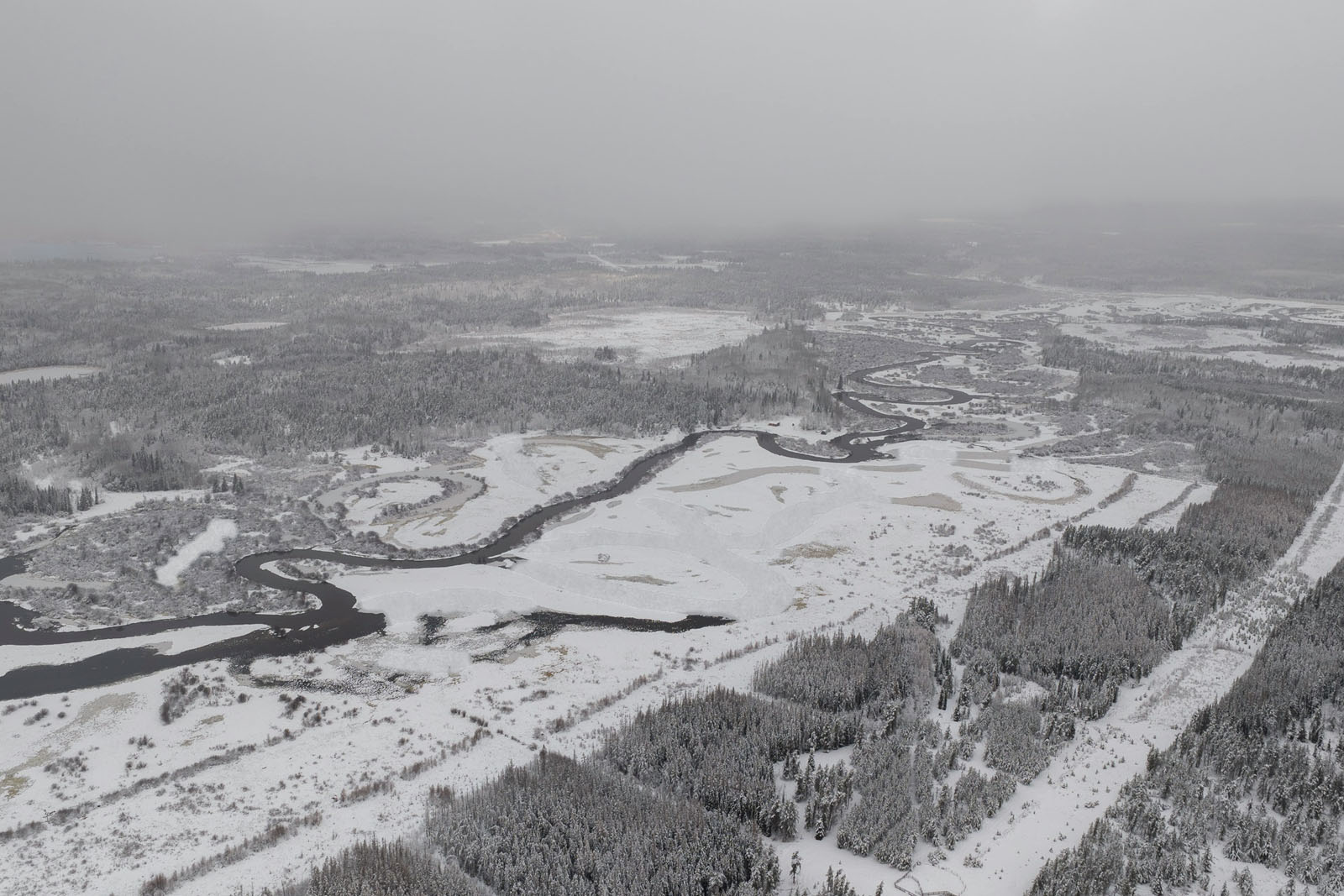
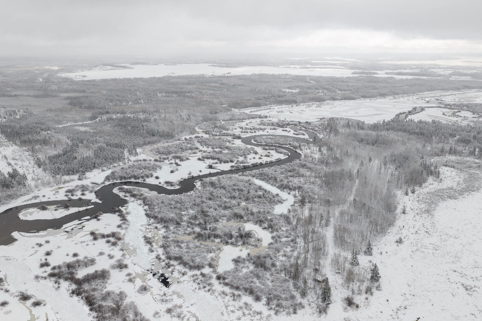
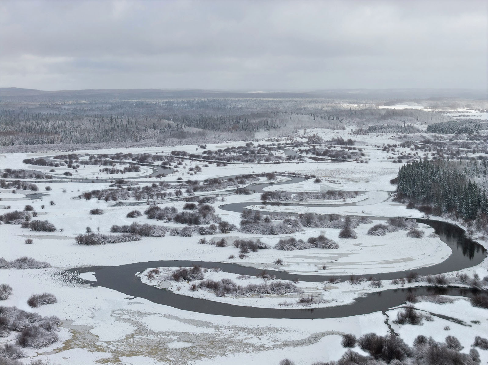
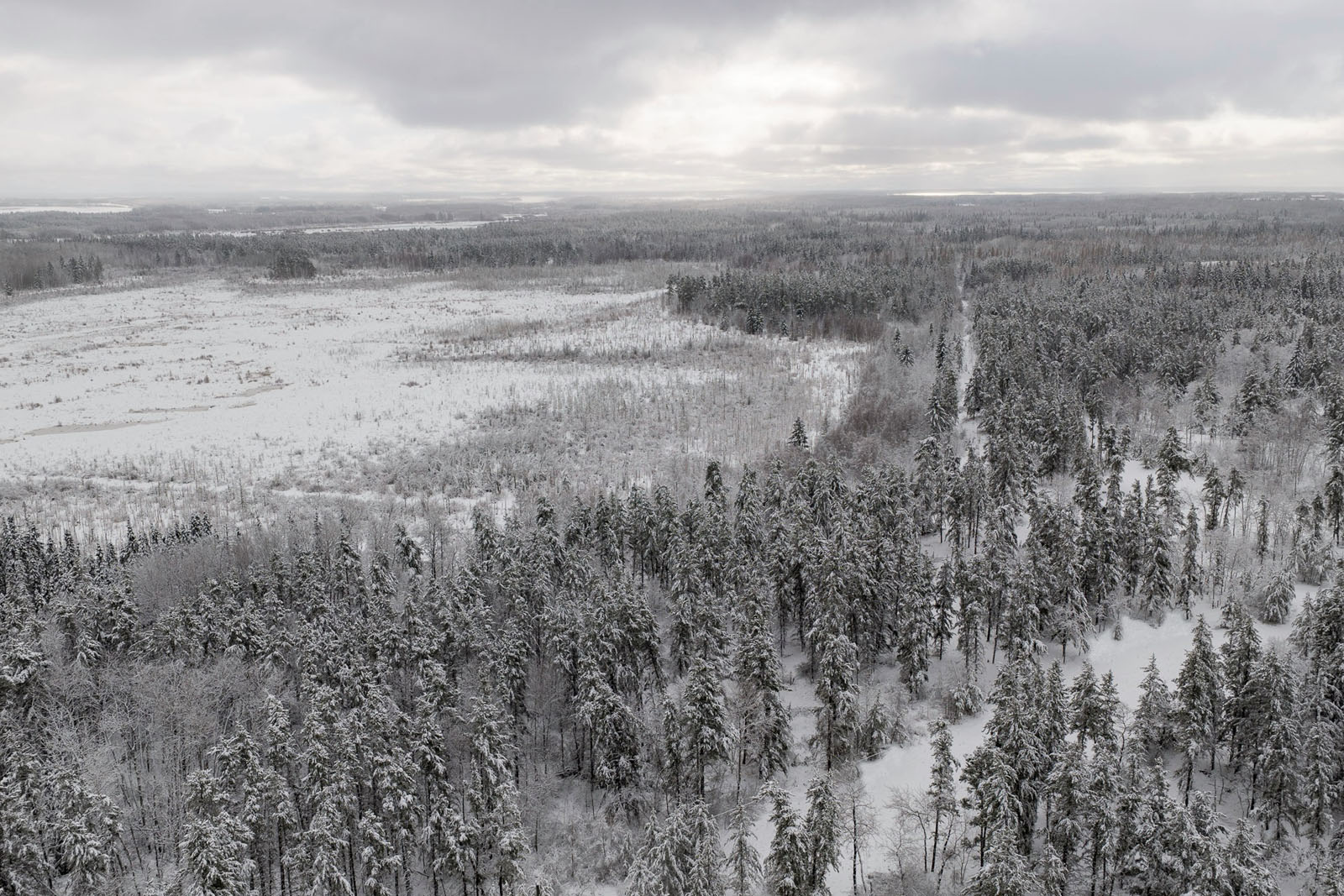
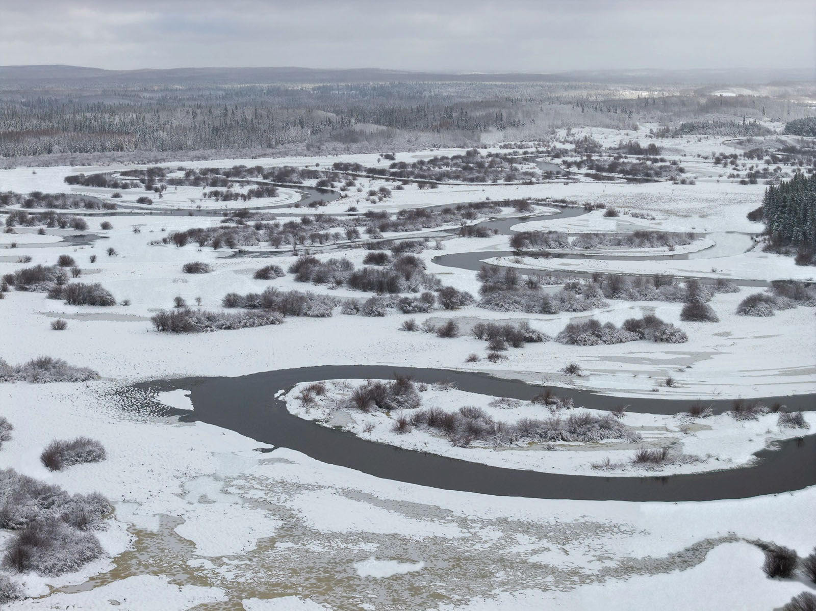
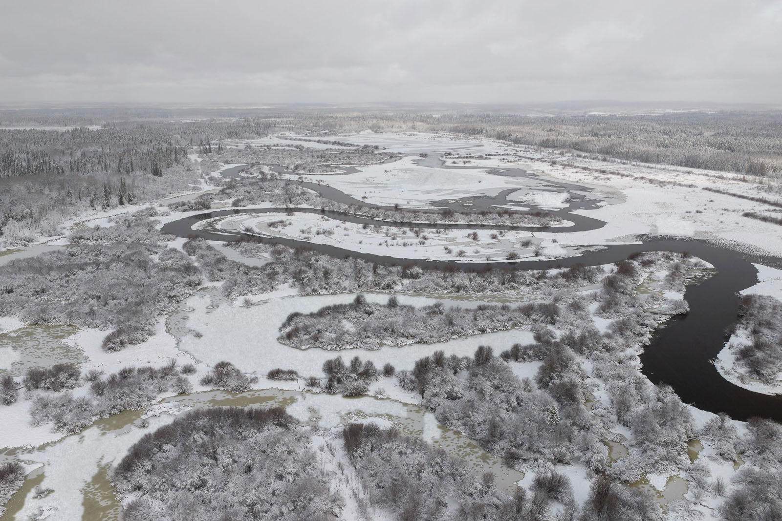
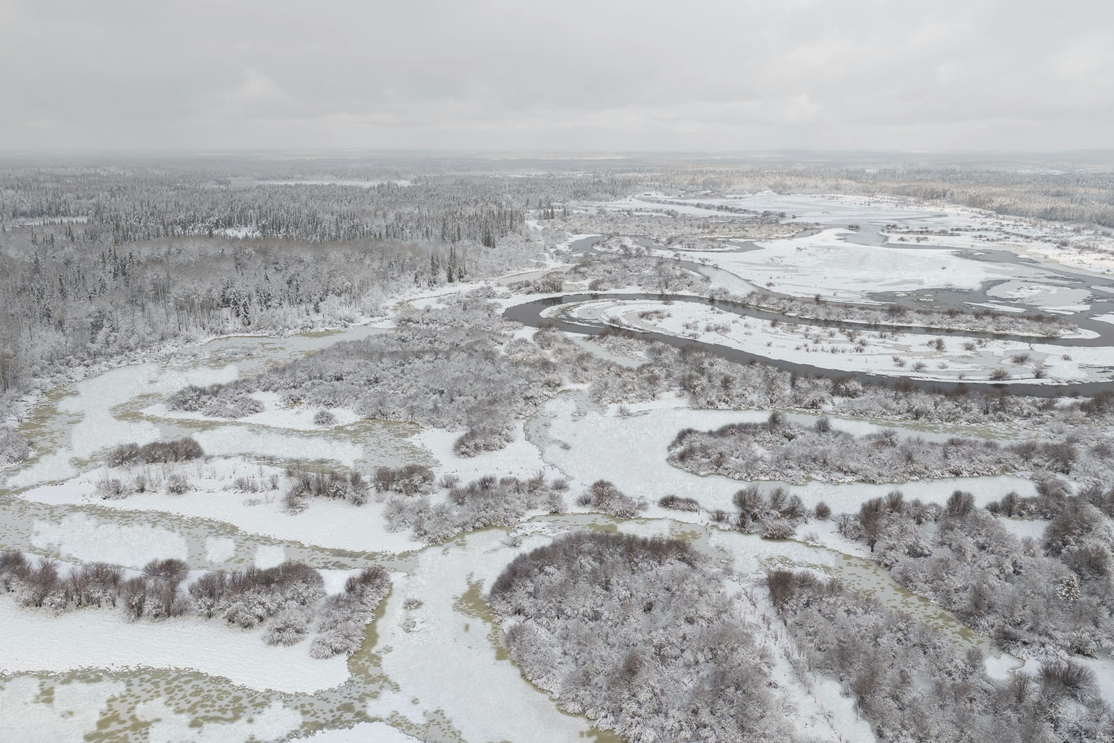
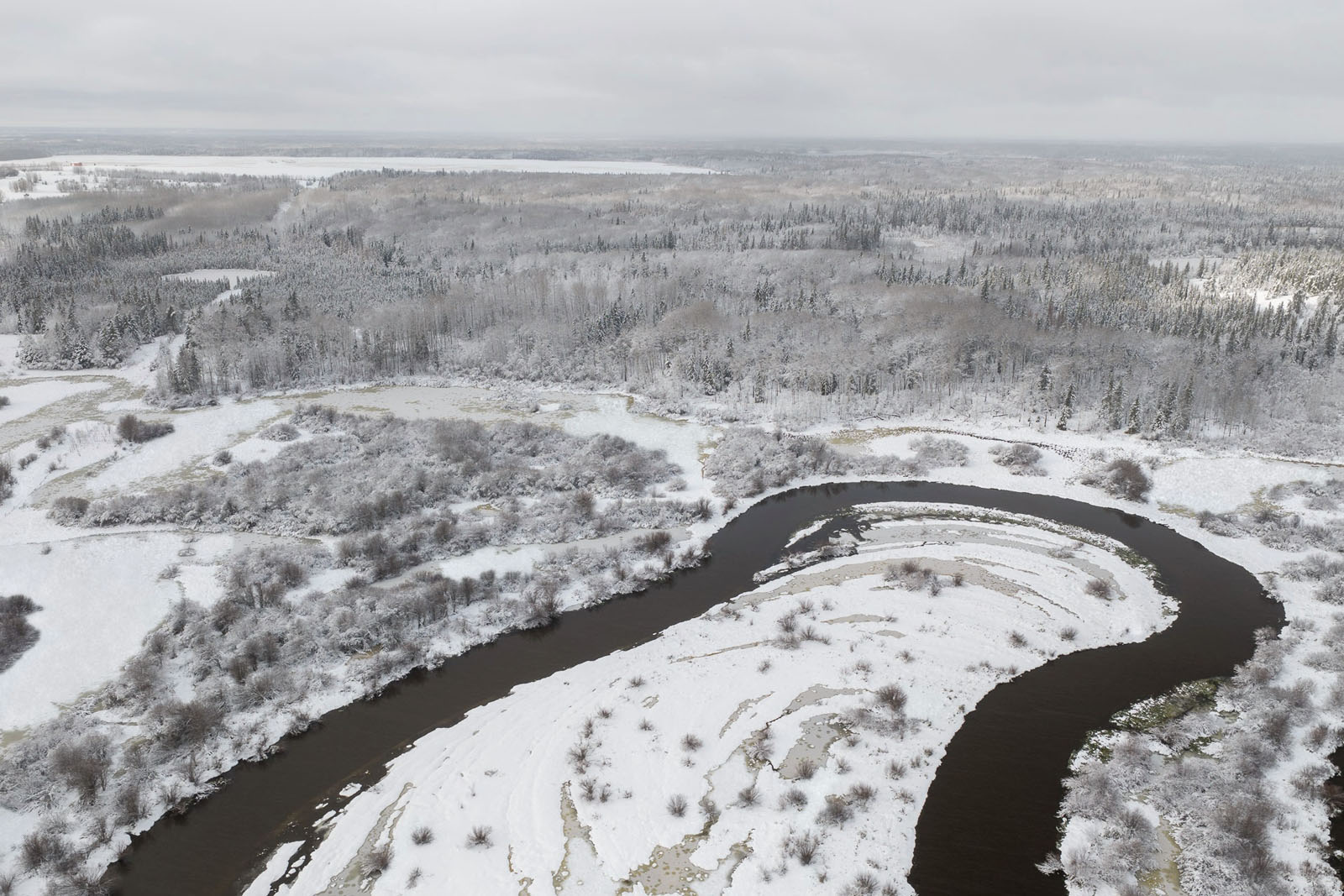
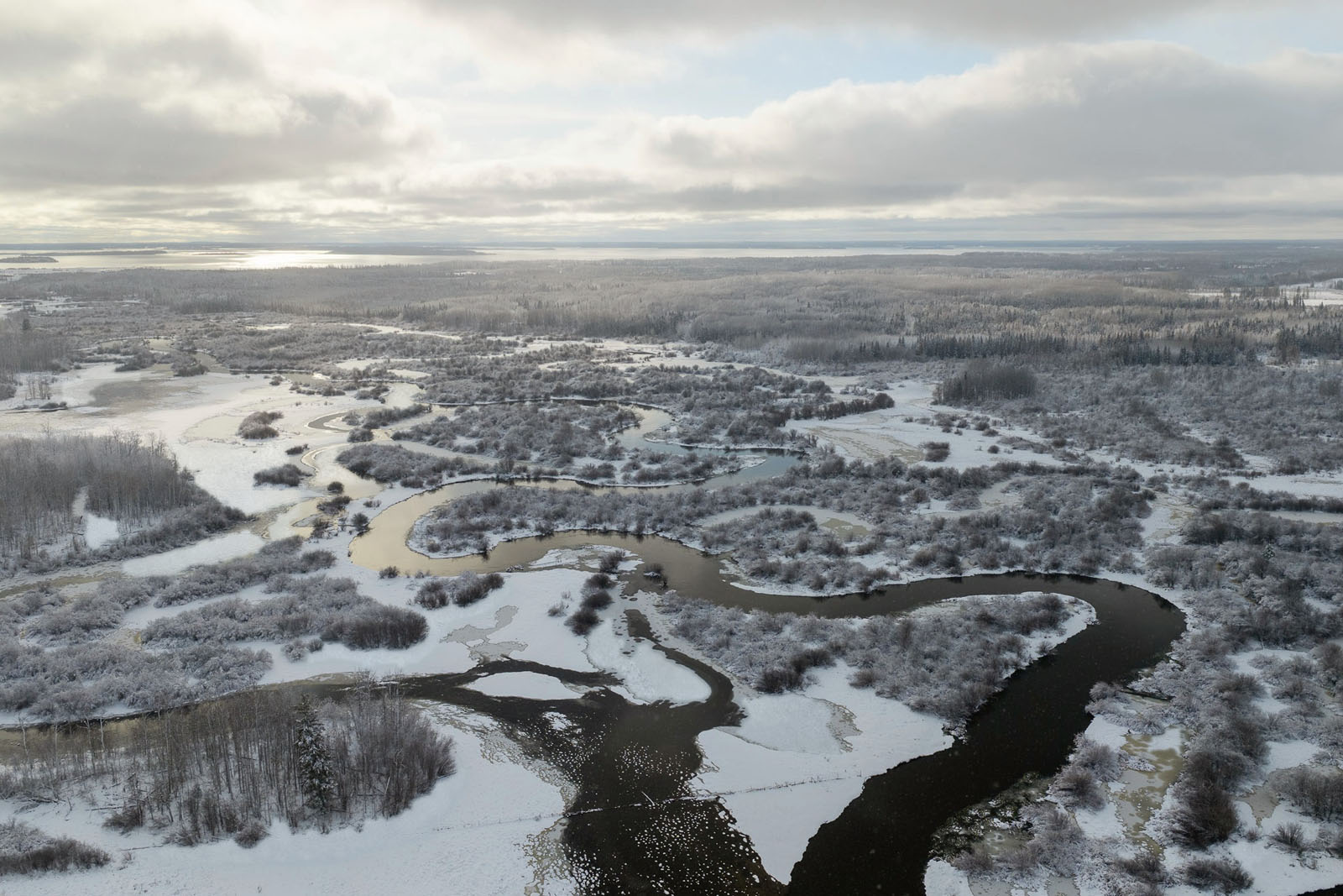
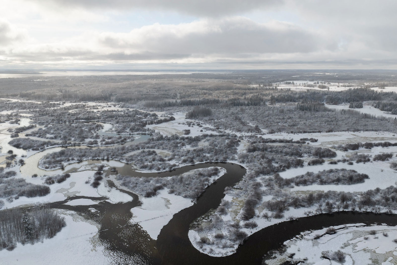
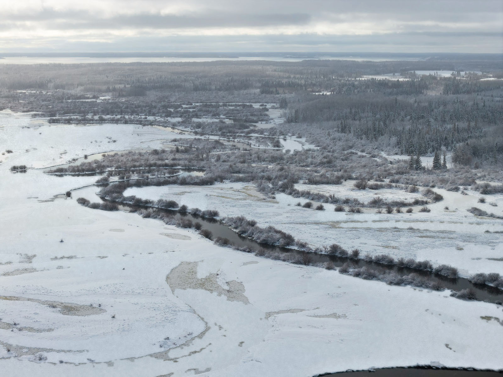
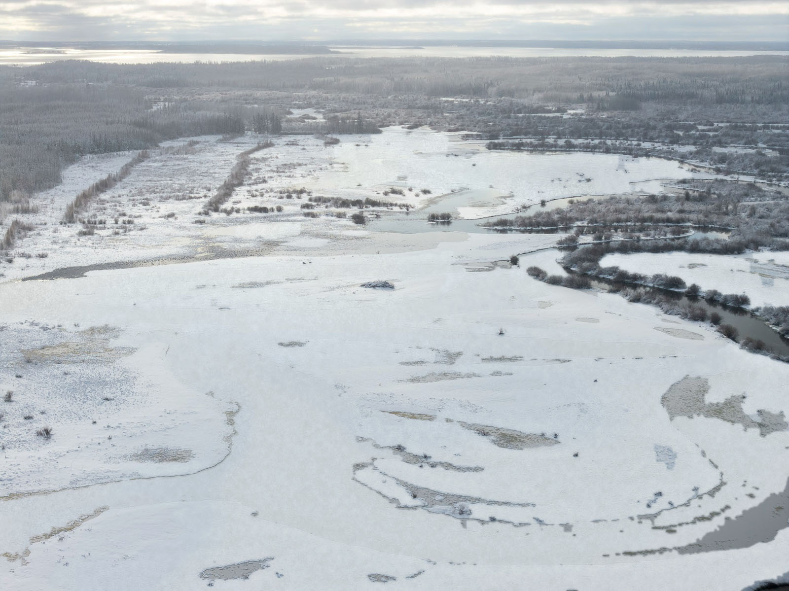
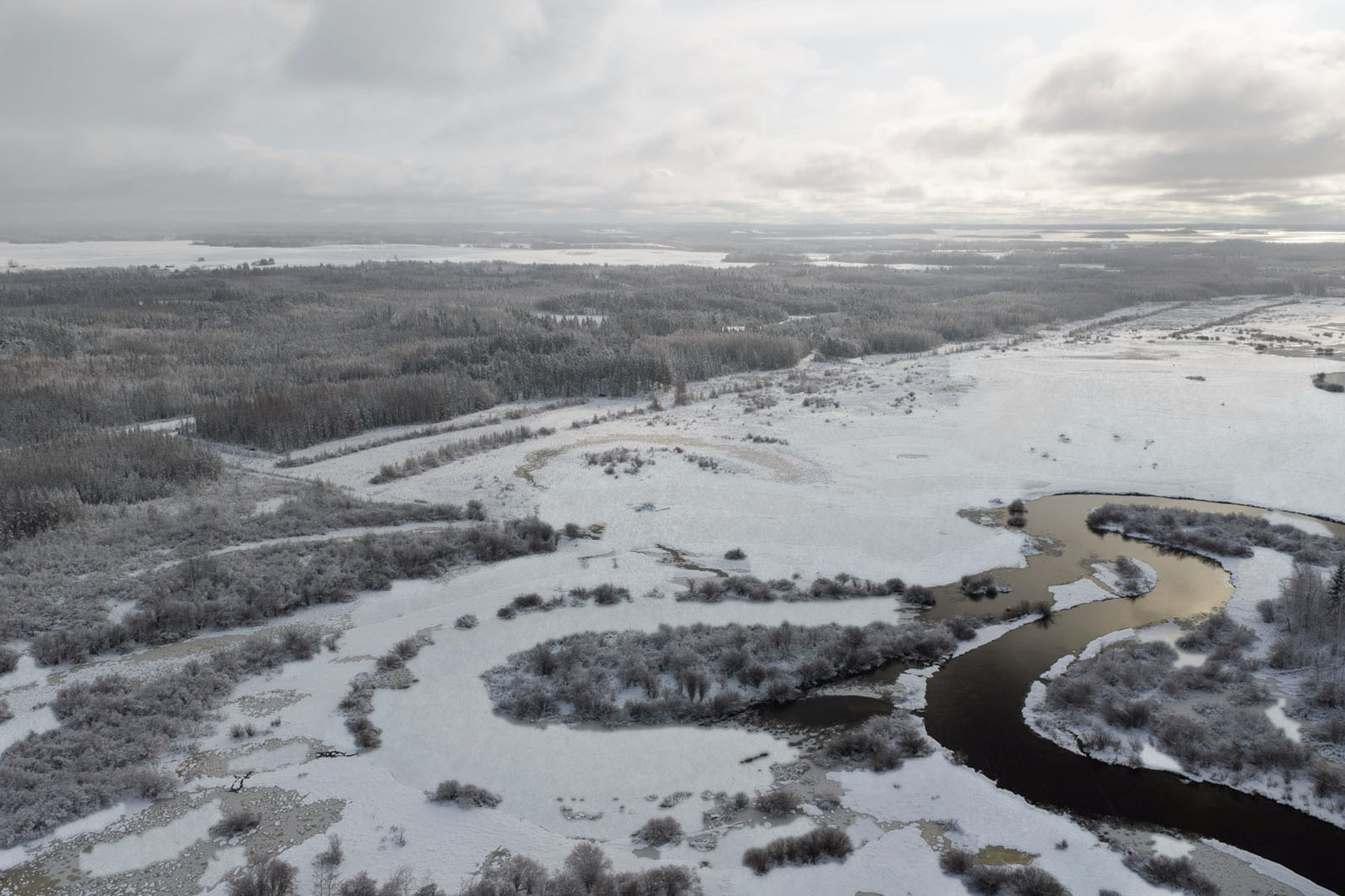
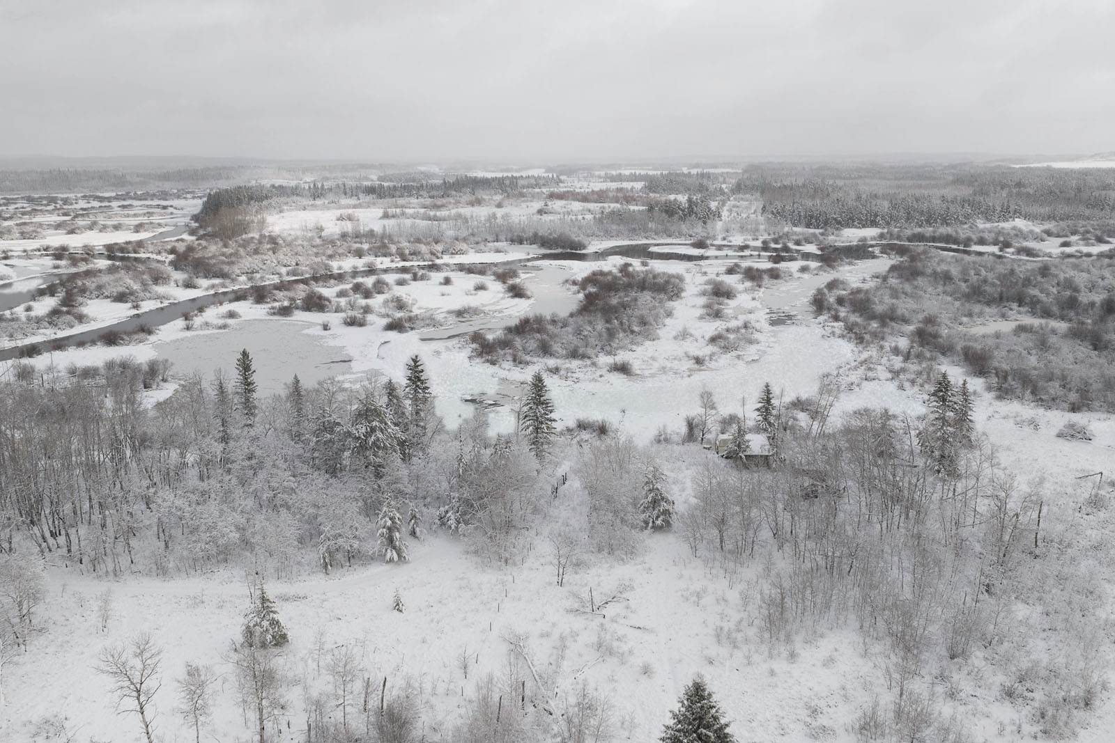
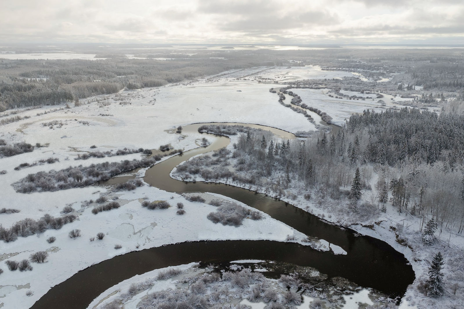
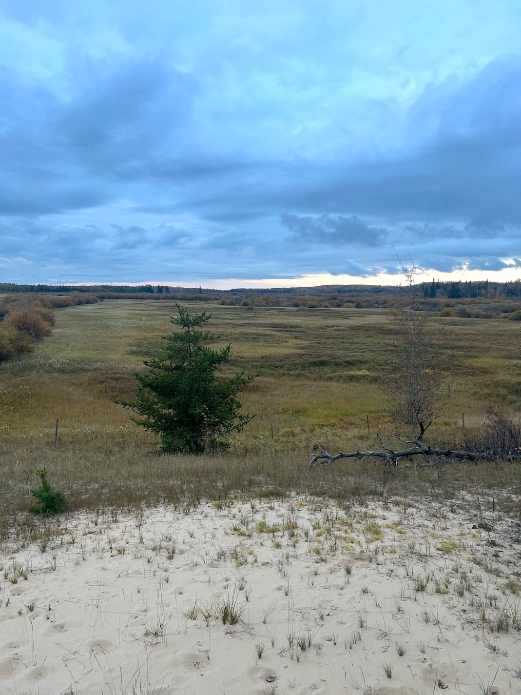
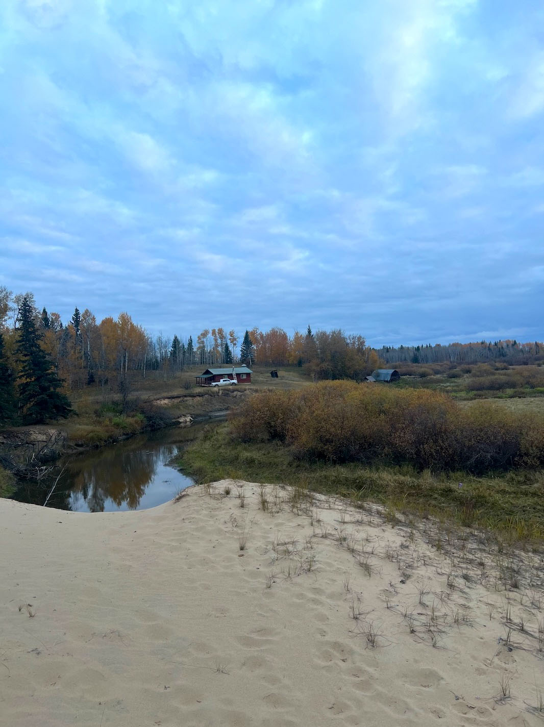
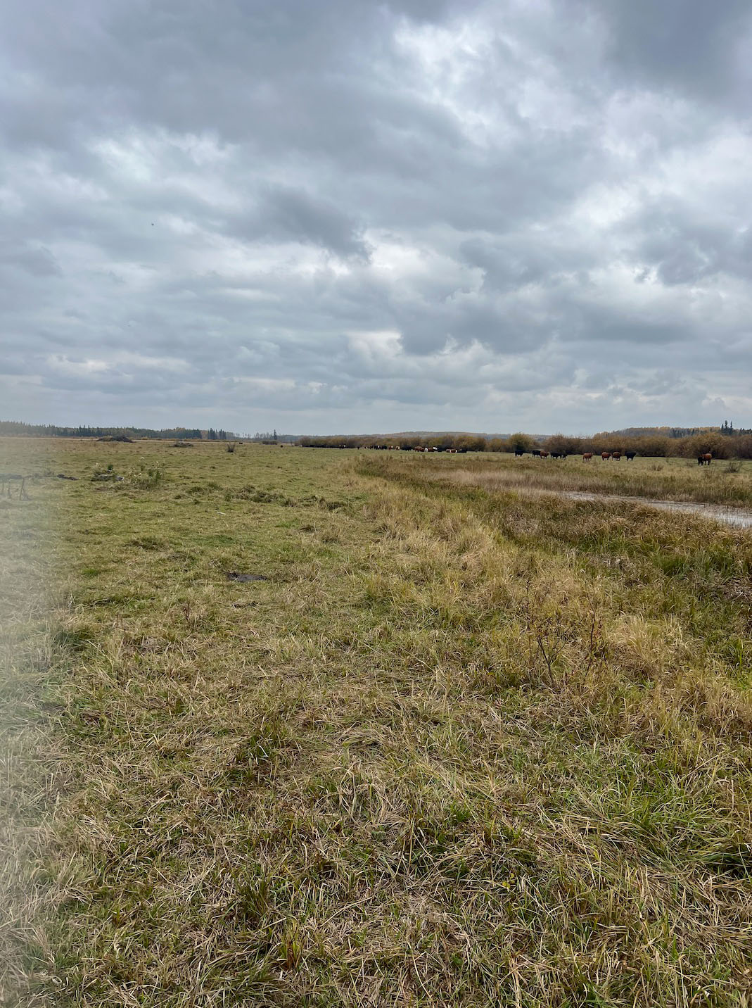
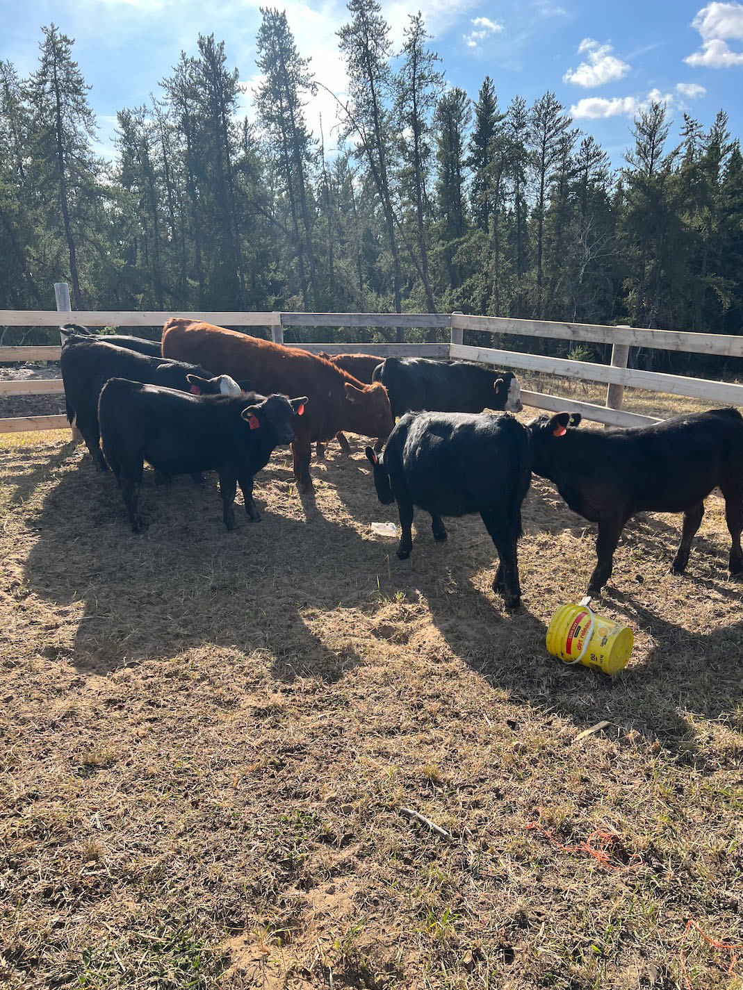
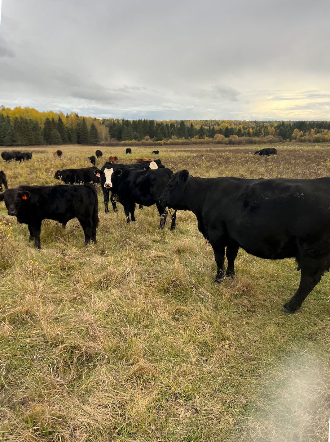
An excellent opportunity to acquire a large, contiguous grazing package along the Owl River, combining three deeded quarter sections with a Forest Grazing Licence and a provincial Grazing Lease. Together, the holdings provide approximately 1,275 acres of connected deeded and Crown grazing lands, making this an attractive starter ranch or an economical way for an established cattle operation to secure additional grass and pasture.
The package includes approximately 480 acres of deeded land together with Forest Grazing Licence FGL 140003, comprising approximately 639.6 acres, and Grazing Lease GRL 840065, comprising approximately 160 acres. The Grazing Lease covers NW-7-69-13-W4 and is renewable subject to the Public Lands Act. The current lease document has a term running to October 31, 2027. Assignment or transfer of the Grazing Lease requires the written consent of the provincial director.
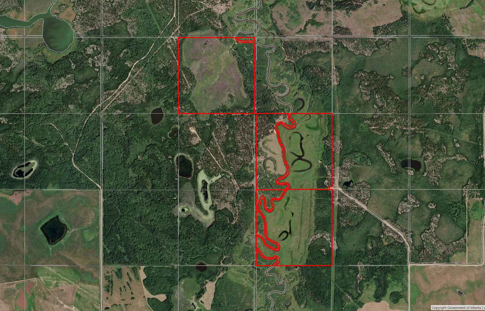
Forest Grazing Licence FGL 140003 encompasses approximately 639.6 acres across portions of Sections 1 and 12, Township 69, Range 14, W4M. The disposition includes lands on both sides of the Owl River and was established specifically for livestock grazing. The licence requires proper range-management practices, maintenance of livestock fencing and provincial approval for assignment or transfer. The original document provided a May 15 to October 31 grazing period unless otherwise authorized.
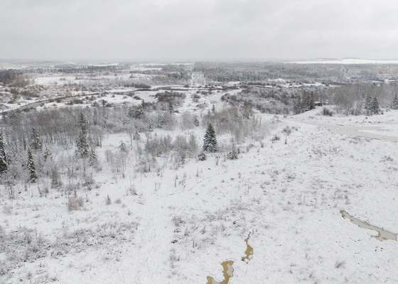
The Owl River winds through the overall holding and provides an important natural water feature, while the Forest Grazing Licence also contains abundant water throughout the grazing area. Above the river, particularly toward the east, there are areas of good, firm ground suited to livestock use. NE-12-69-14-W4 also contains good ground with potential to be cleared and developed into improved pasture, subject to applicable approvals.
The blocks are contiguous and there is existing fencing throughout portions of the property, although the location, condition and extent of all fencing should be independently confirmed by a purchaser. Access is available to both sides of the holding, with Range Road 135 serving the east side and Old Conklin Road providing access from the west, allowing practical access to lands situated on either side of the Owl River.
For buyers looking for flexibility, the property can be purchased as one complete grazing package or divided into two logical operating blocks:
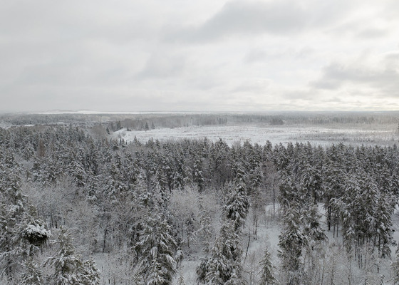
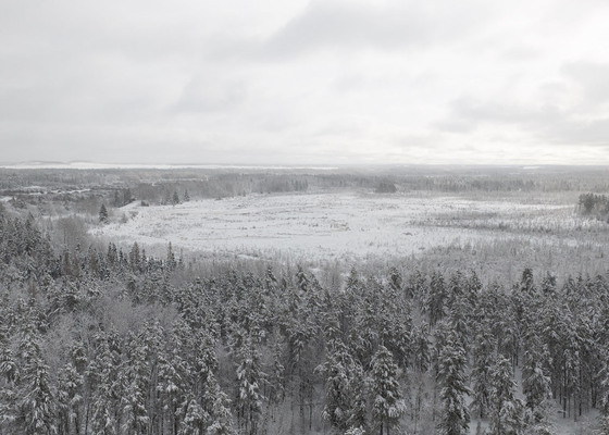
In addition to its agricultural value, the property offers excellent recreational appeal. The combination of river bottom, forest cover, open grazing country and abundant water creates strong wildlife habitat, with opportunities for white-tailed deer, moose and black bear hunting.
With approximately 1,280 contiguous acres, multiple water sources, two-sided access and a combination of deeded and Crown grazing land, this is a compelling opportunity for a first-time rancher looking to establish a grazing base or an existing producer seeking additional pasture without the cost of acquiring an entirely deeded land base.
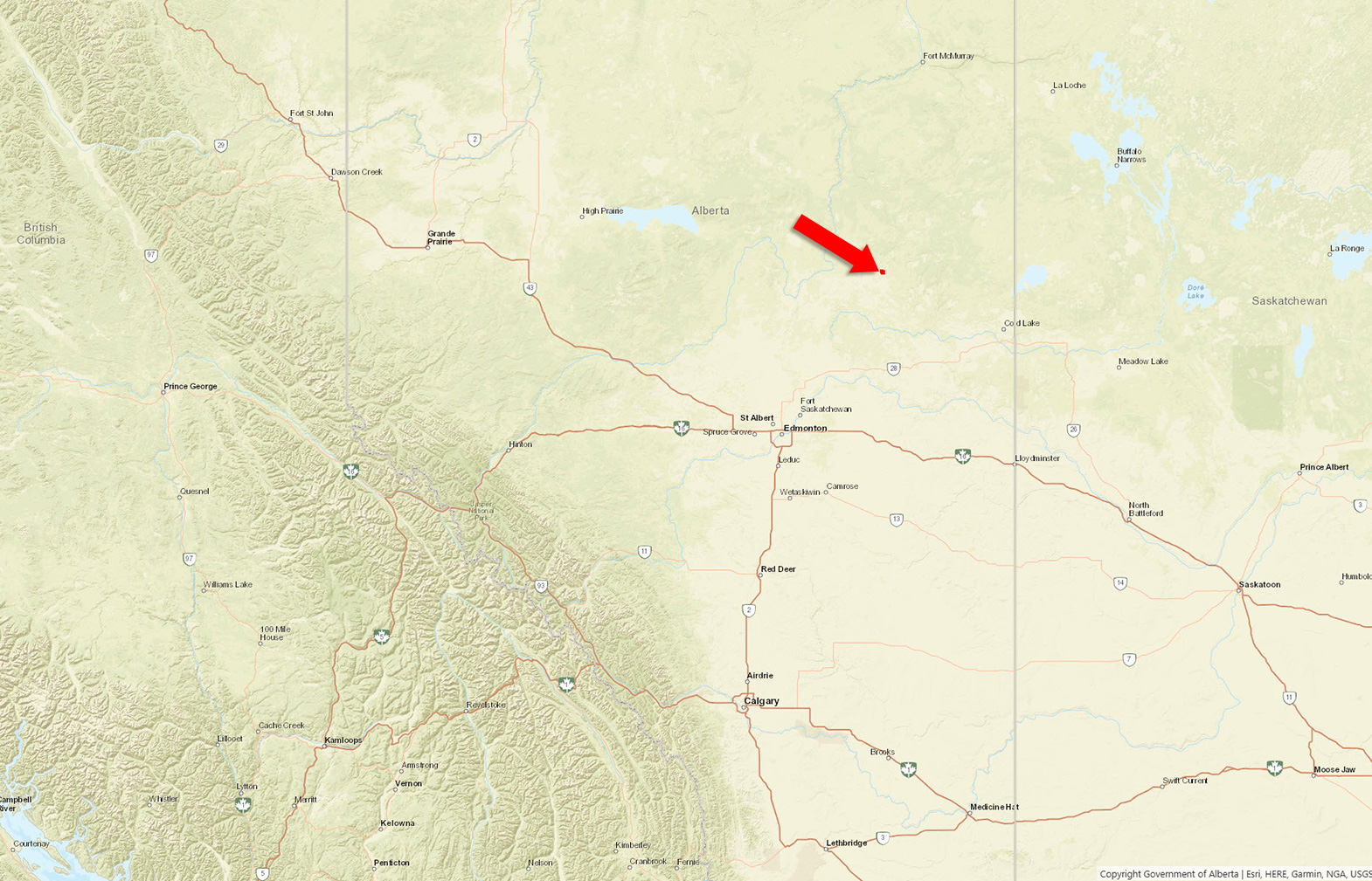
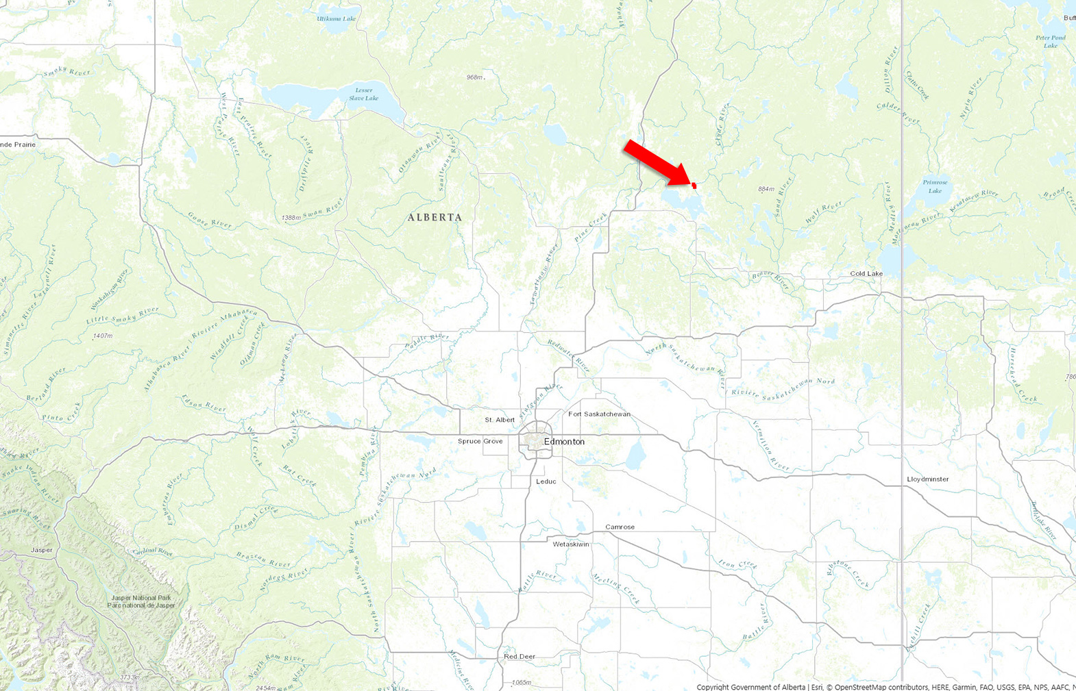
Owl River, Alberta
Contact the listing agent.
Lac La Biche County is a large resource-based municipality in northeast Alberta covering approximately 13,681 km2, with a population of roughly 8,500 people. The regional economy is supported by agriculture, oil and gas, forestry and tourism, with approximately 247 farms, more than 100,000 acres of cropland and nearly 21,000 cattle and calves reported within the County.
The area is known for its extensive boreal forest, agricultural lands and abundant water resources, with more than 150 lakes throughout the region. Outdoor recreation is a major attraction, including hunting, fishing, boating, camping and trail-based recreation, while communities such as Lac La Biche and Plamondon provide commercial services, schools, healthcare and other amenities.
The County is well connected by Highways 36, 55, 63 and 881, along with CN rail service and the Lac La Biche Regional Airport.
Lac La Biche County offers outstanding year-round recreation, with more than 150 lakes, extensive Crown land and large areas of boreal forest. The region is well known for fishing, boating, camping, ATV and snowmobile riding, hiking, paddling and wildlife viewing, with numerous provincial recreation areas and lake access points throughout the county.
Hunting is also a major attraction, with healthy populations of white-tailed deer, moose, black bear and other big game throughout the surrounding forest and agricultural areas. The combination of lakes, rivers, forested Crown land and open farmland makes the Lac La Biche region a popular destination for outdoor enthusiasts in every season.
The Lac La Biche region has a long history shaped by Indigenous peoples, the fur trade, agriculture and resource development. For generations, the area was home to Cree and Métis communities and later became an important part of the northern fur-trading network, with voyageurs and traders travelling through the region’s lakes and waterways.
European settlement expanded in the late 1800s and early 1900s as missionaries, homesteaders and farming families moved into the area. Agriculture, forestry and commercial fishing became important local industries, followed later by oil and gas development, which played a major role in the modern regional economy.
Today, the area retains strong agricultural, Métis and Indigenous roots, with historic communities, working farms and ranches, and a landscape that still reflects the region’s early reliance on the land, forests and waterways.
54°57'18.54"N and 111°58'56.66"W
FGL - 140003
GRL - 840065
Potential to purchase in two separate packages
Fencing - condition to be confirmed by purchaser
$600 (2026)
AG
To be confirmed.
MERIDIAN 4 RANGE 14 TOWNSHIP 69 SECTION 12 ALL THOSE PORTIONS OF LEGAL SUBDIVISIONS 9, 10, 15 AND 16 SHOWN TO BE COVERED AND NOT TO BE COVERED BY THE WATERS OF LAKE NO. 9, AS SHOWN ON A PLAN OF SURVEY OF THE SAID TOWNSHIP DATED ON THE 27TH DAY OF APRIL A.D. 1912 CONTAINING 64.7 HECTARES (160 ACRES) MORE OR LESS EXCEPTING THEREOUT ALL MINES AND MINERALS AND THE RIGHT TO WORK THE SAME
LINC 0023 539 985
MERIDIAN 4 RANGE 13 TOWNSHIP 69 SECTION 6 QUARTER NORTH WEST EXCEPTING THEREOUT ALL MINES AND MINERALS AND THE RIGHT TO WORK THE SAME
LINC 0013 957 353
MERIDIAN 4 RANGE 13 TOWNSHIP 69 SECTION 7 QUARTER SOUTH WEST CONTAINING 64.7 HECTARES( 160 ACRES) MORE OR LESS EXCEPTING THEREOUT: A) PLAN 9620669 ROAD 0.09 HECTARES (0.22 ACRES) MORE OR LESS EXCEPTING THEREOUT ALL MINES AND MINERALS AND THE RIGHT TO WORK THE SAME
LINC 0026 658 641
 +8 maps
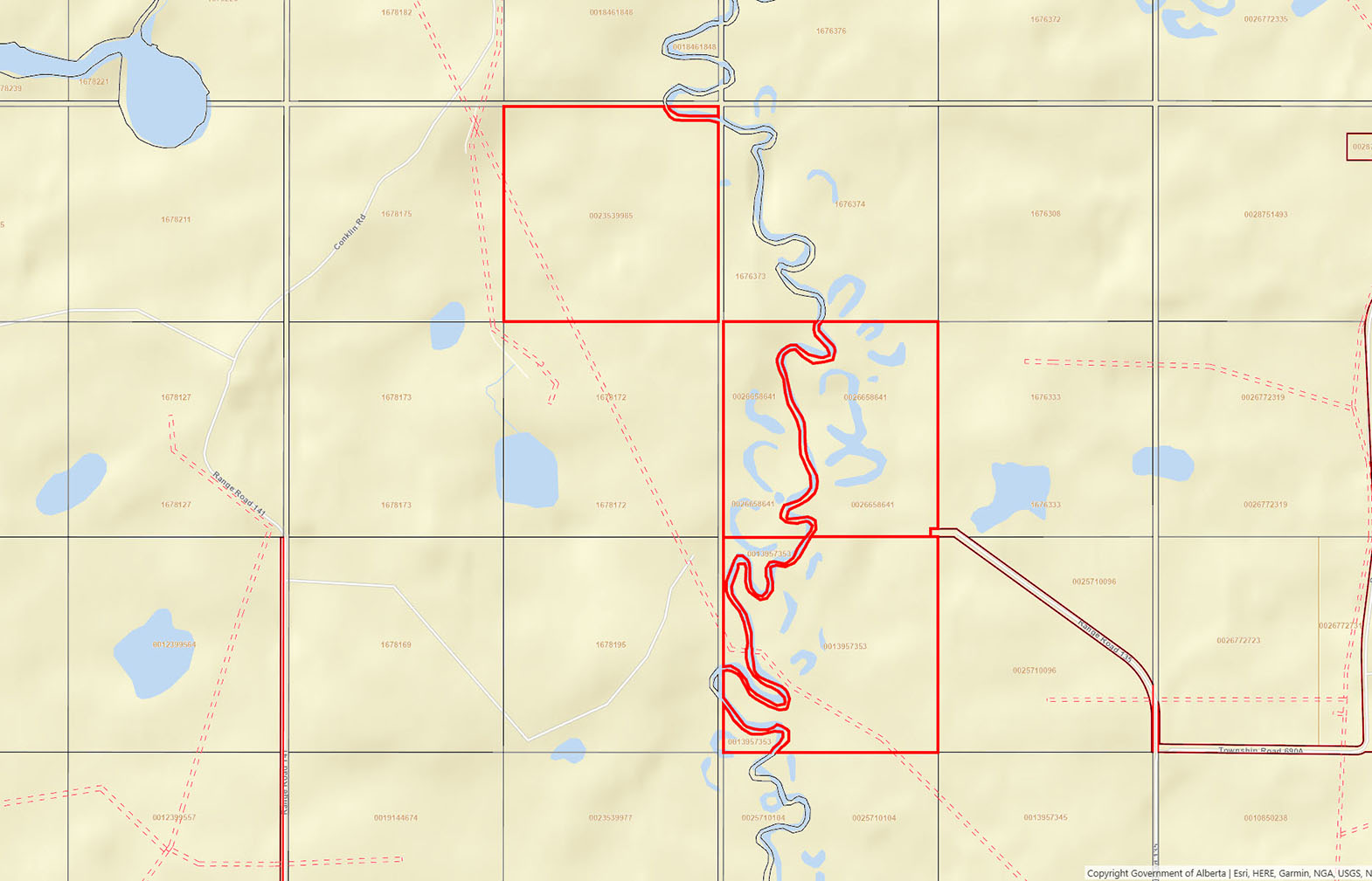
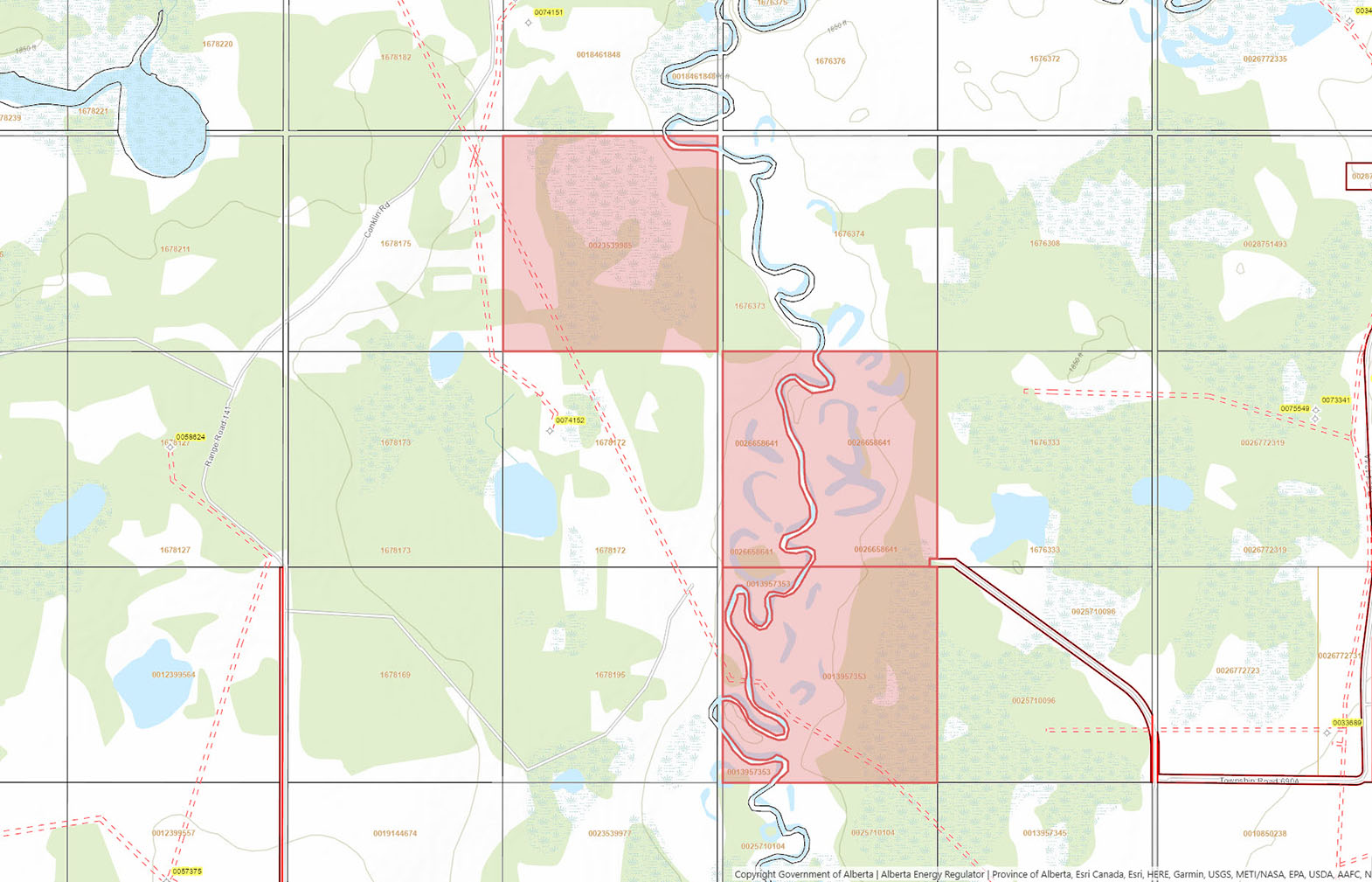
Our property descriptions and geographical information are taken from the BC Assessment Authority, Land Titles Office, government maps and other sources. While LandQuest® does not guarantee the information, we believe it to be accurate, but should not be relied upon without verification. This communication is not intended to cause or induce breach of an existing agency agreement.
Avenir
 1℃
 -4℃