


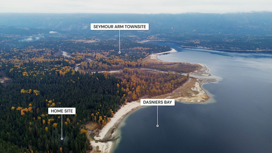
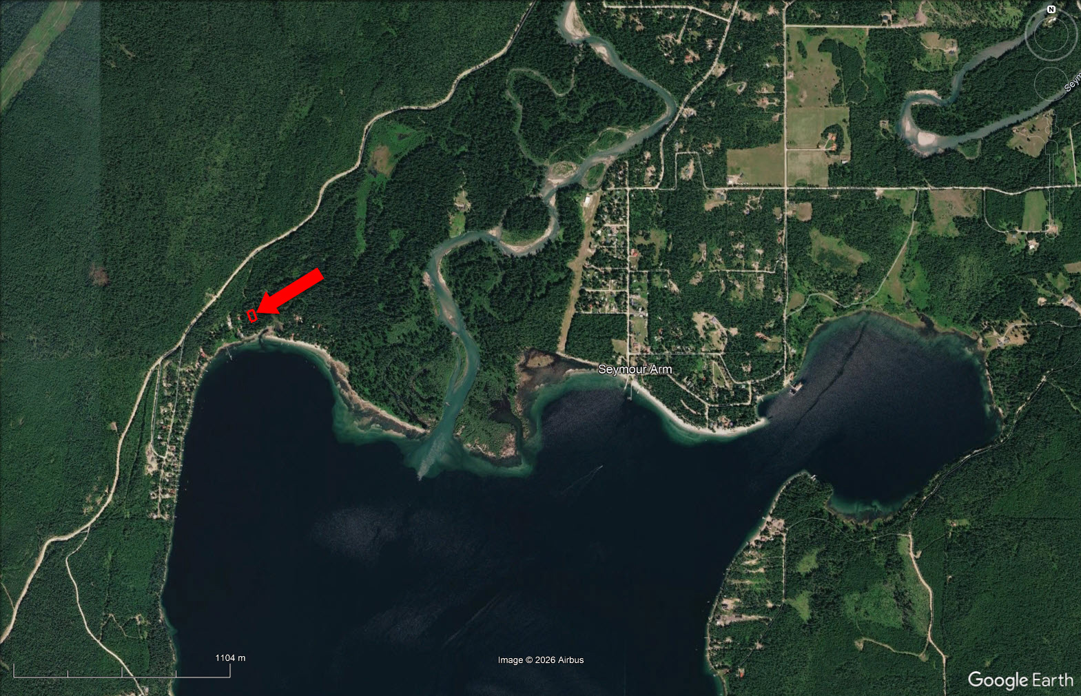
A quiet, sheltered setting among towering cedars, bordered by provincial Crown land on three sides in Dasniers Bay. Authentic Confederation-built log cabin, slab-on-grade, with vaulted ceilings, just a short jaunt through the trees to the shore.
 +38 photos
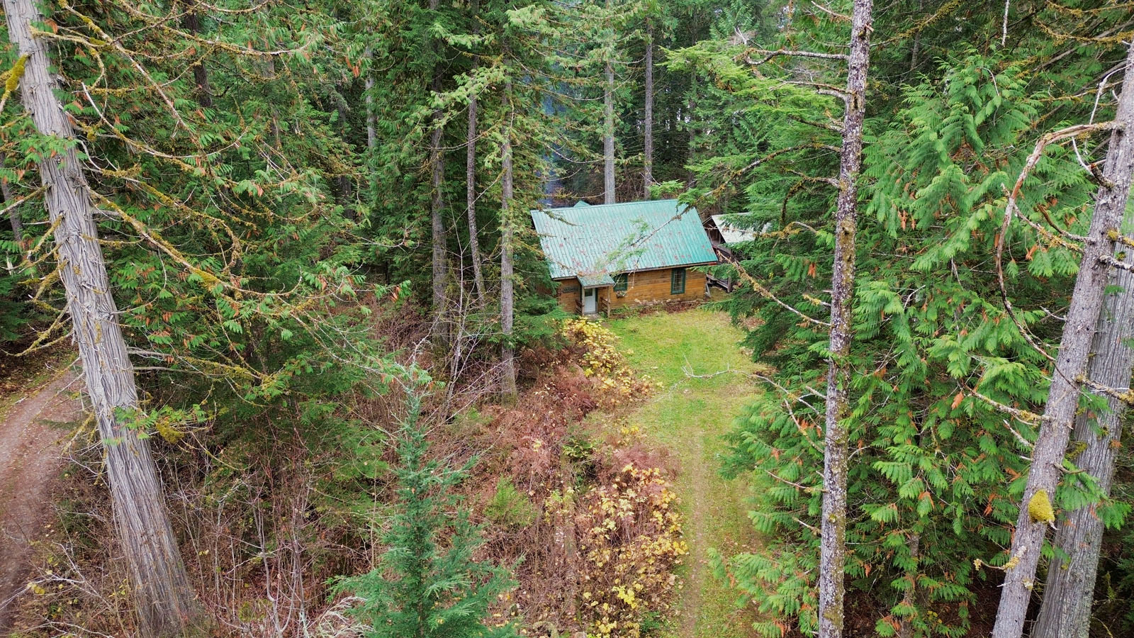
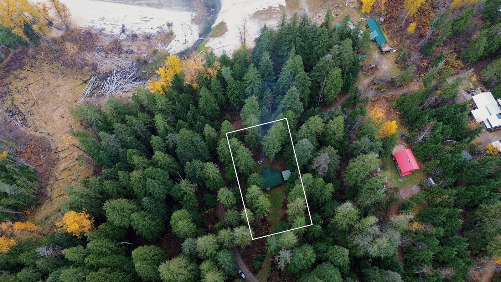
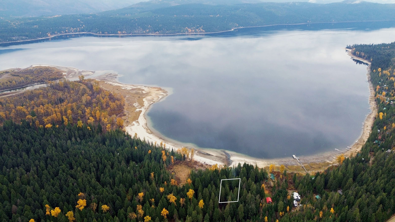
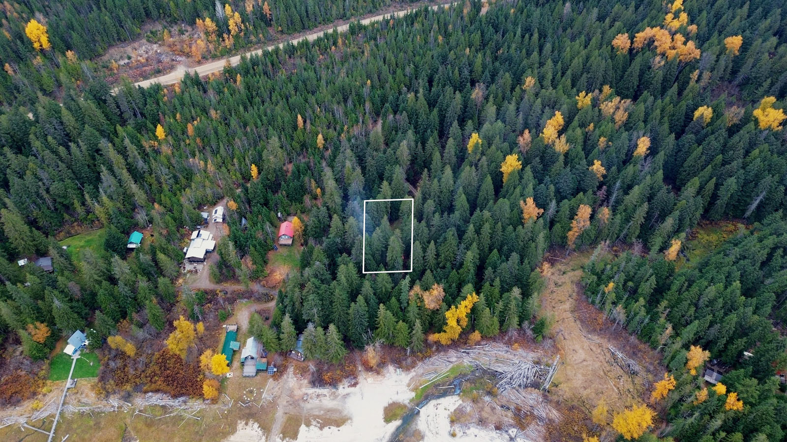
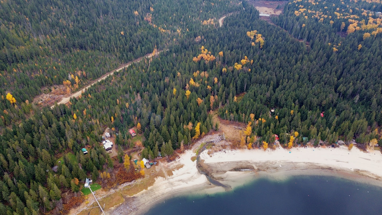
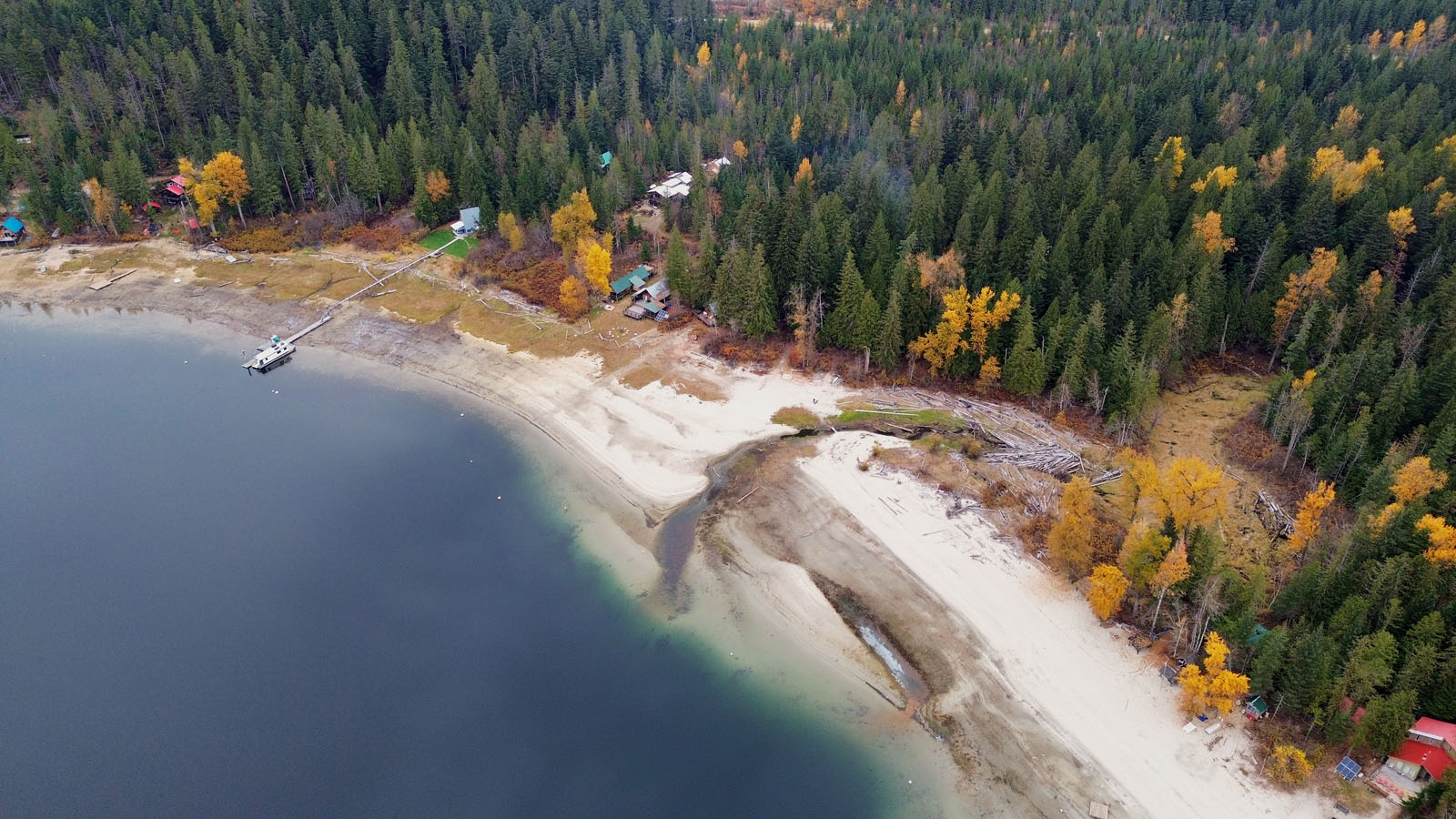
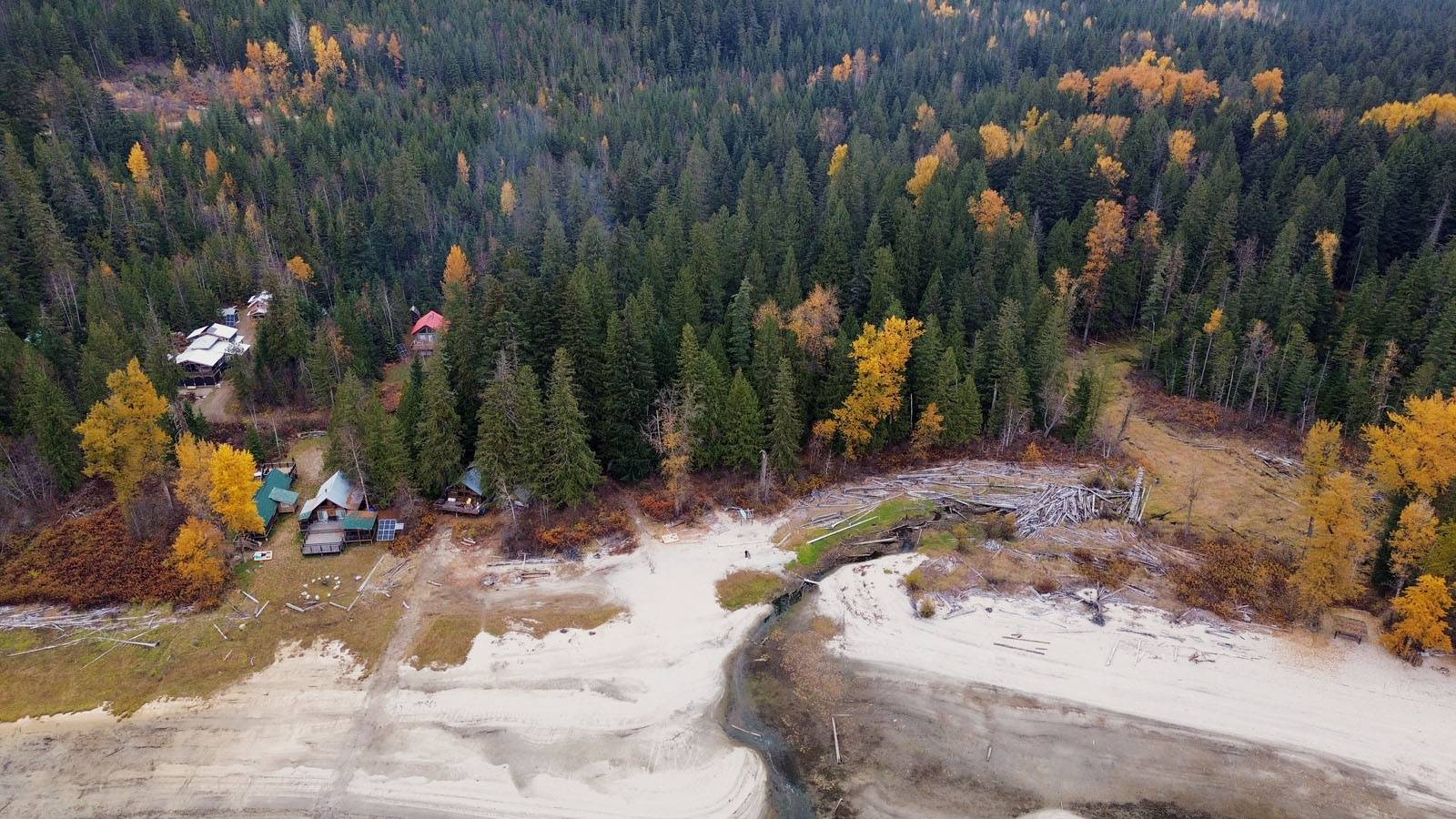
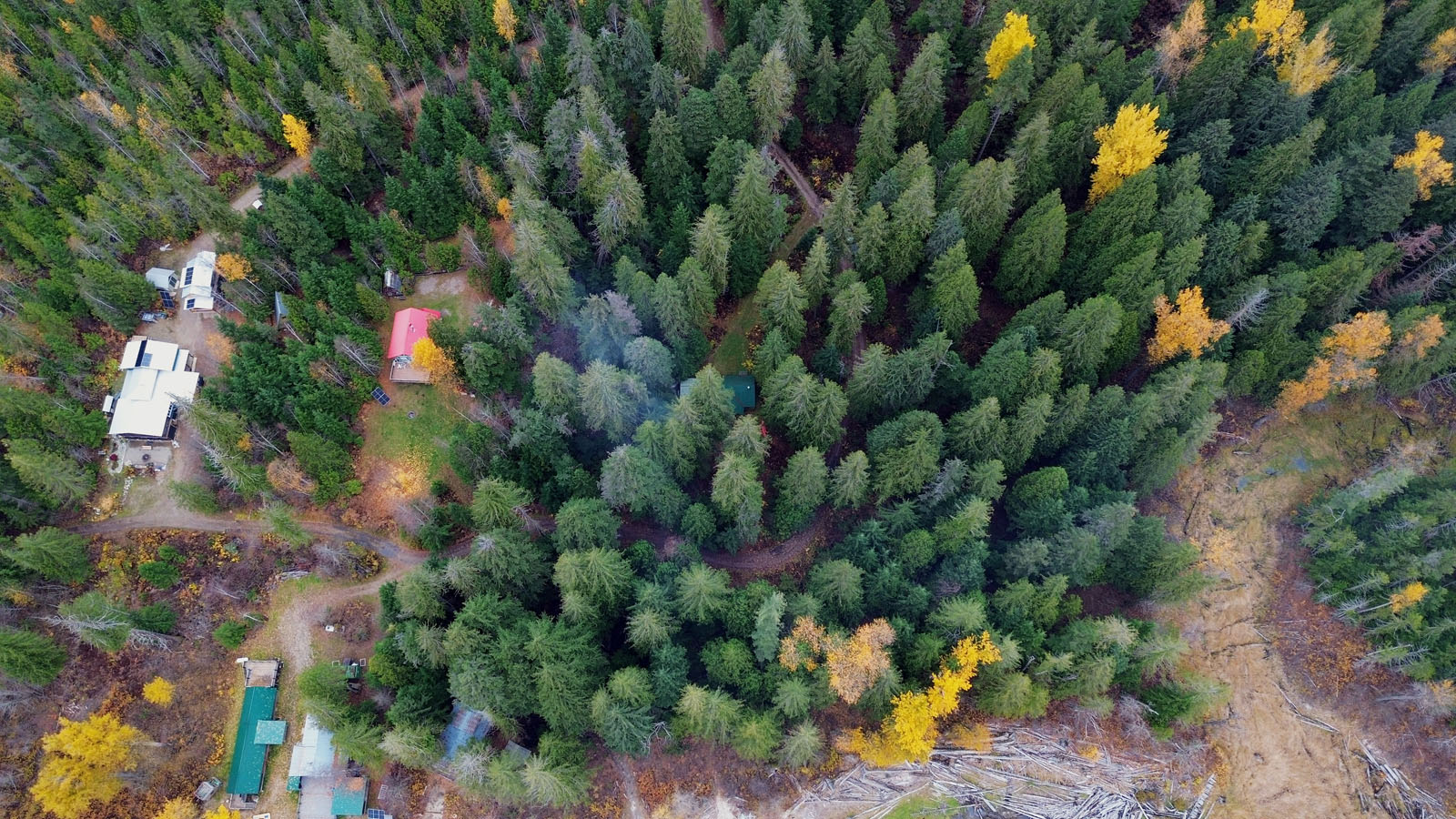
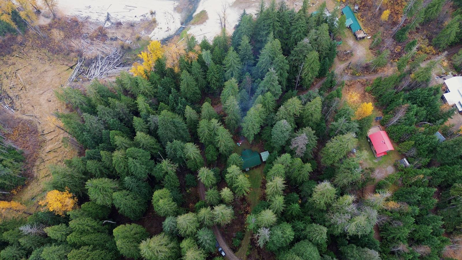
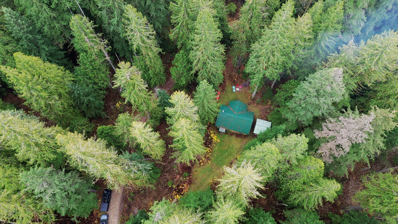
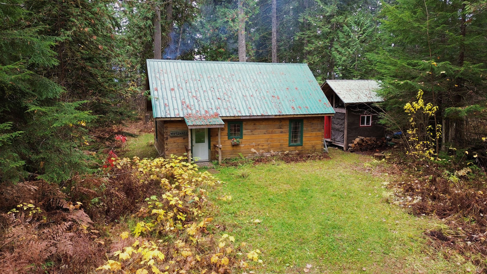
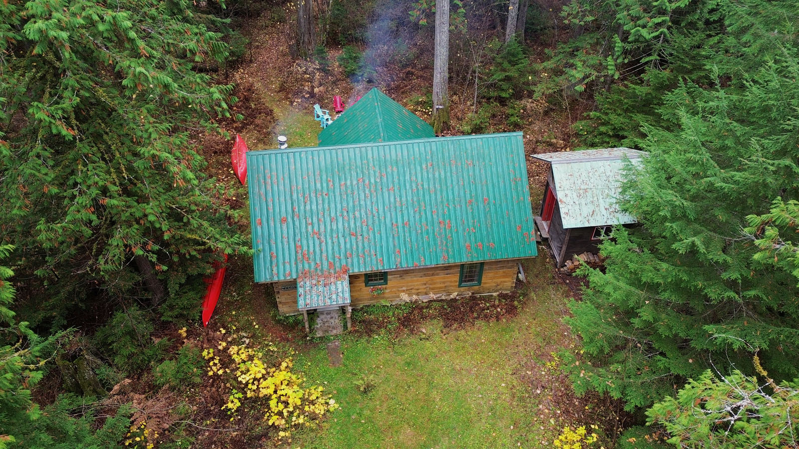
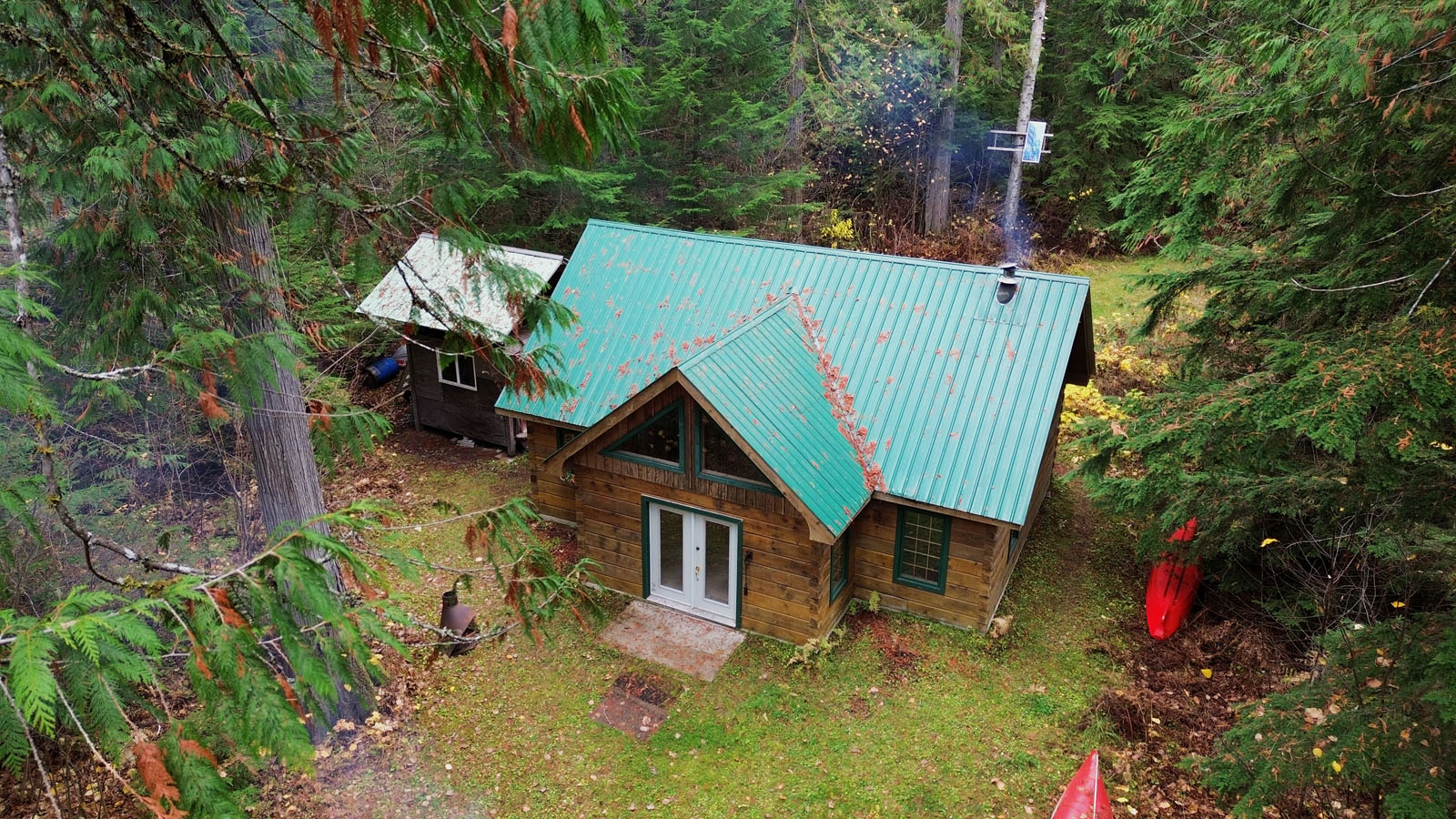
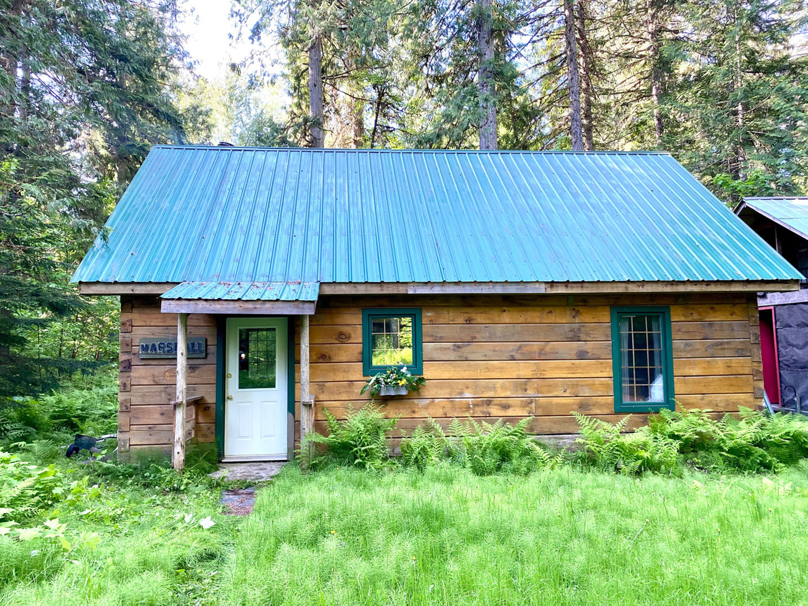
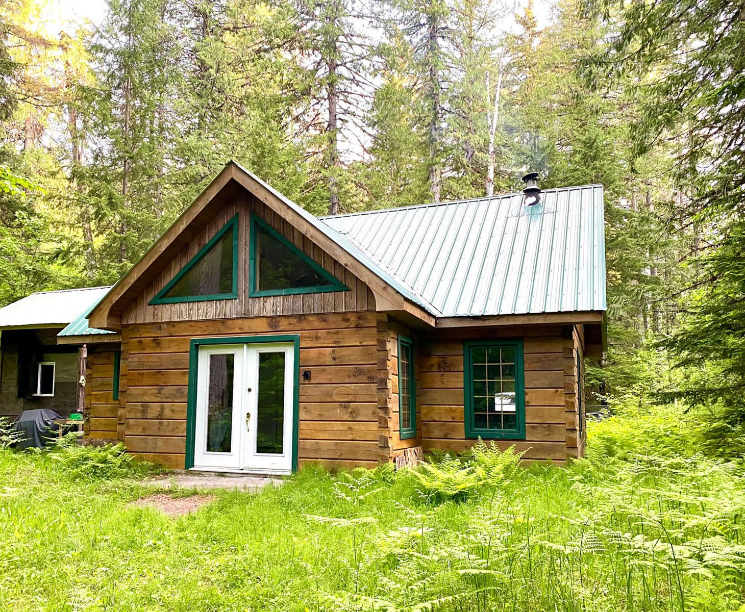
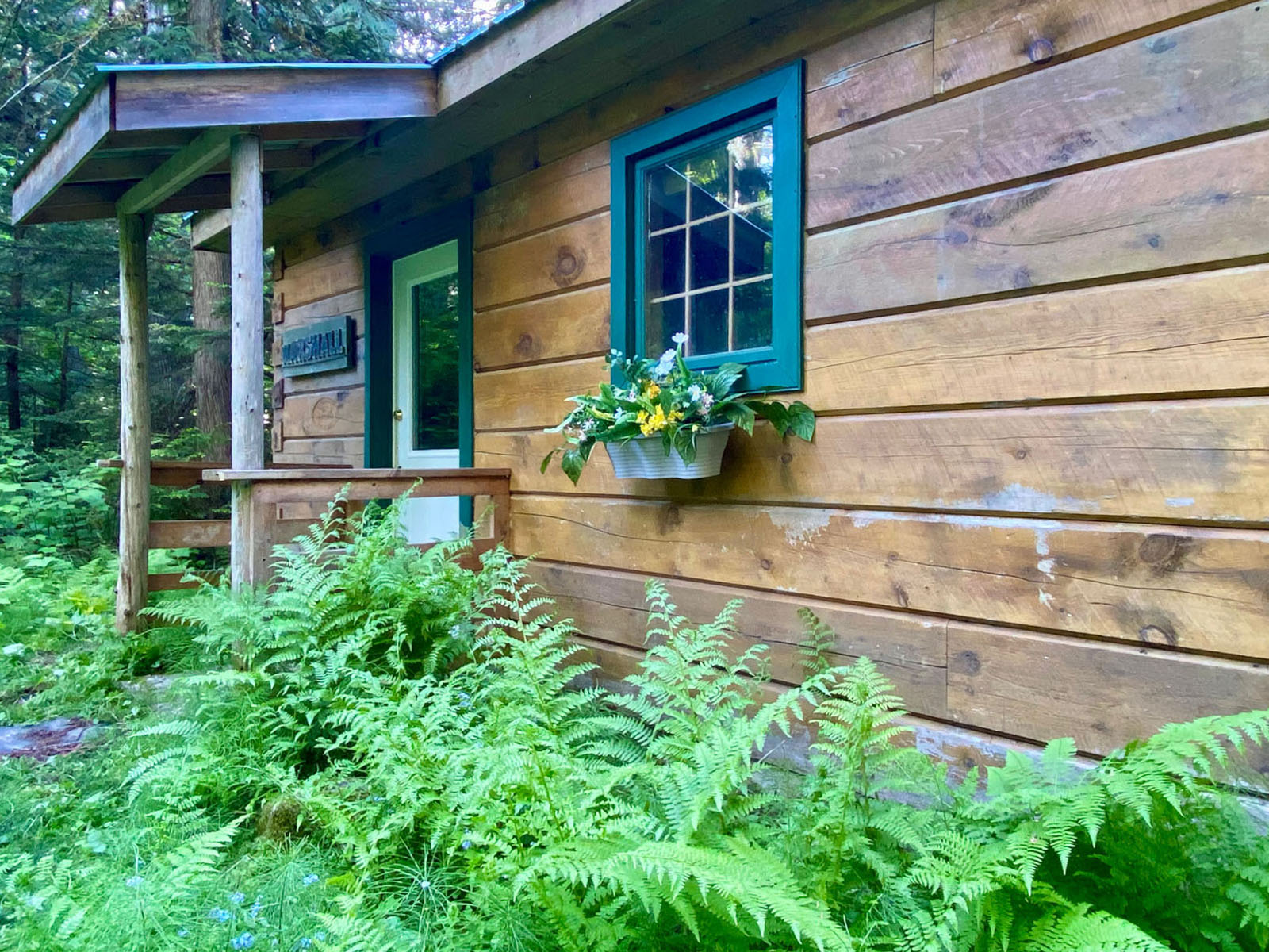
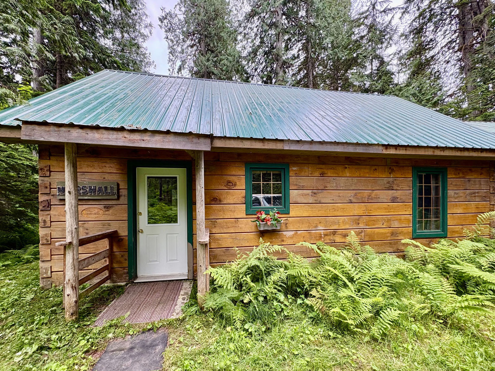
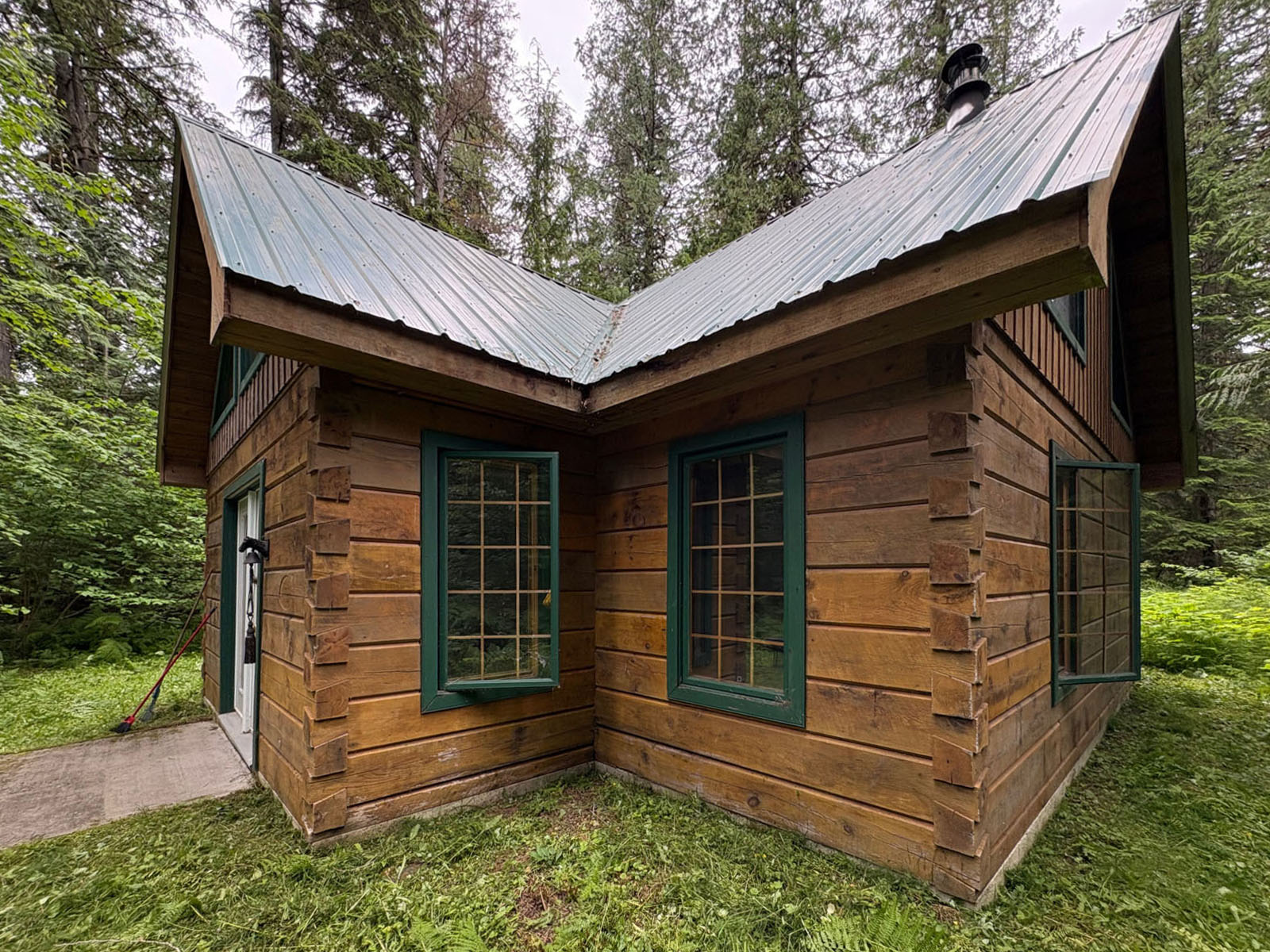
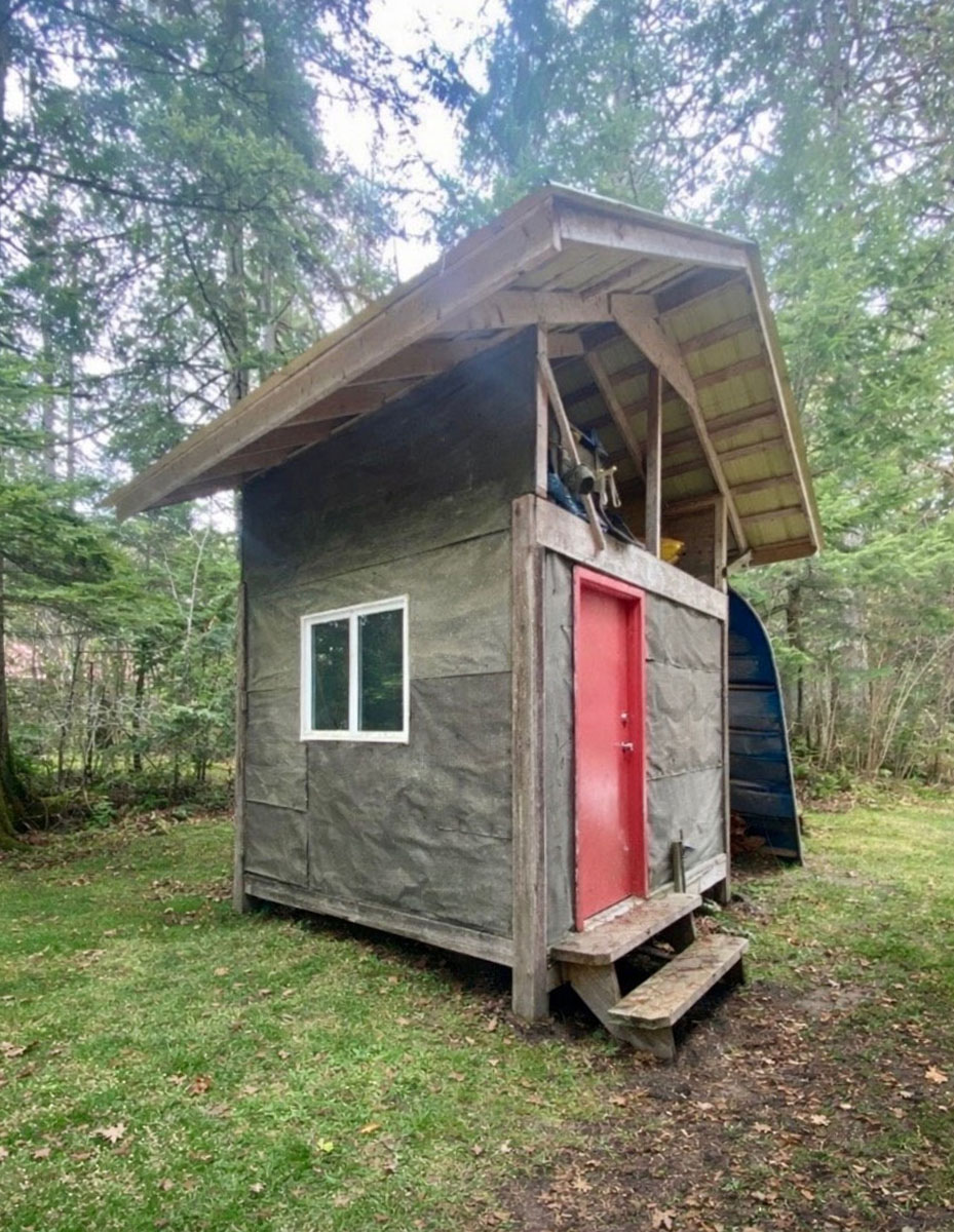
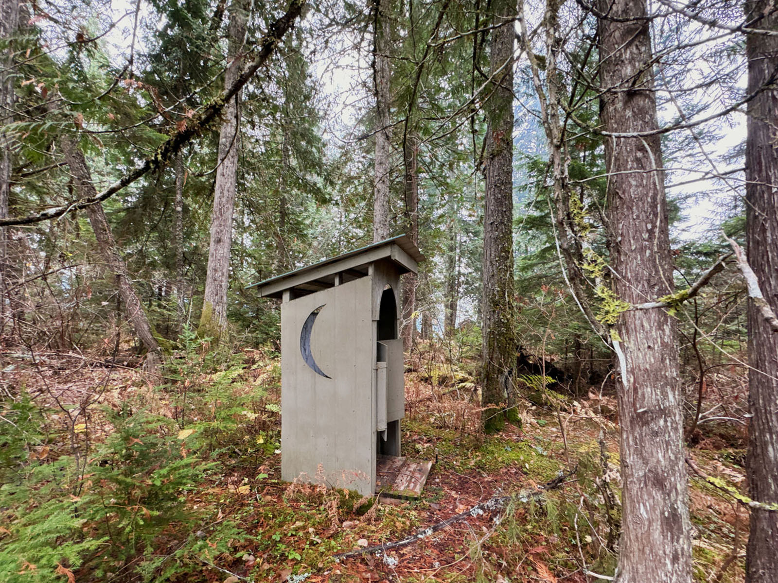
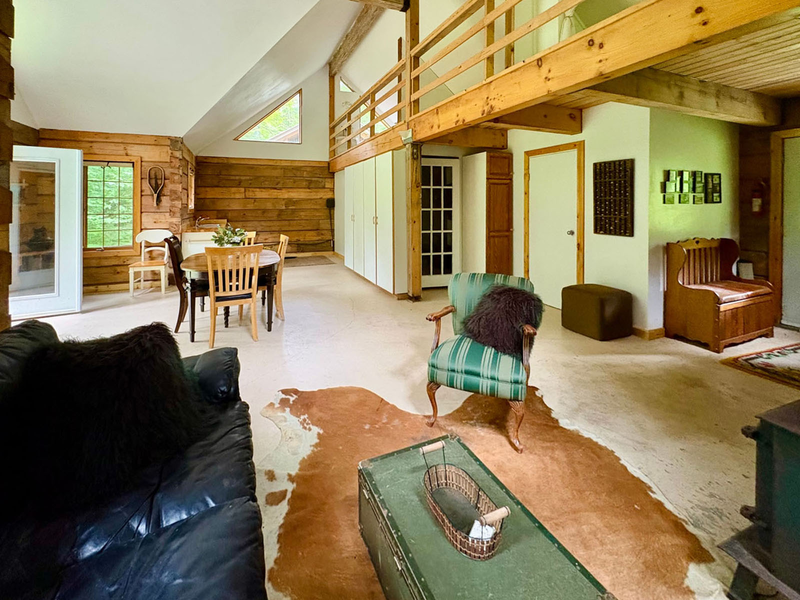
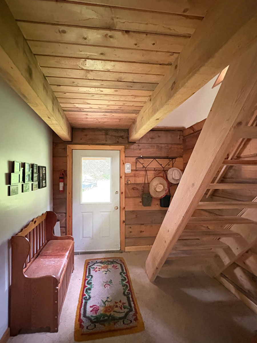
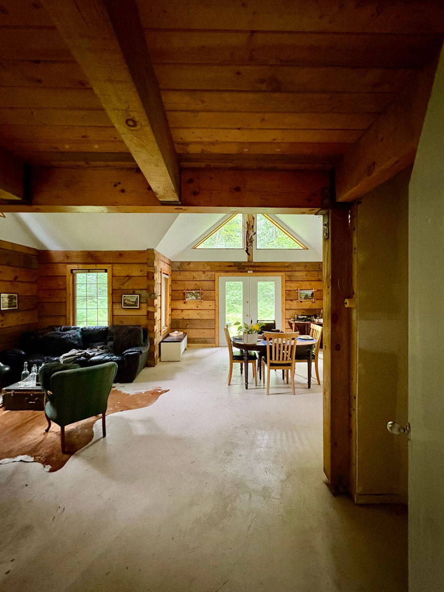
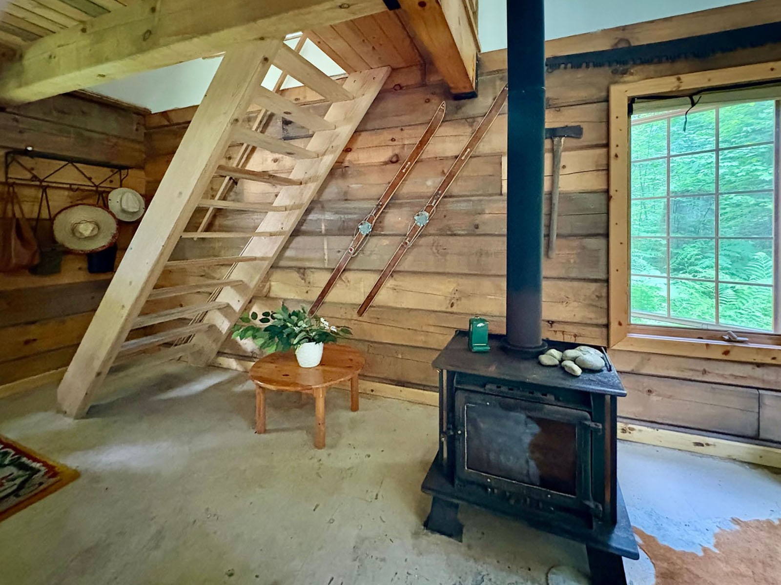
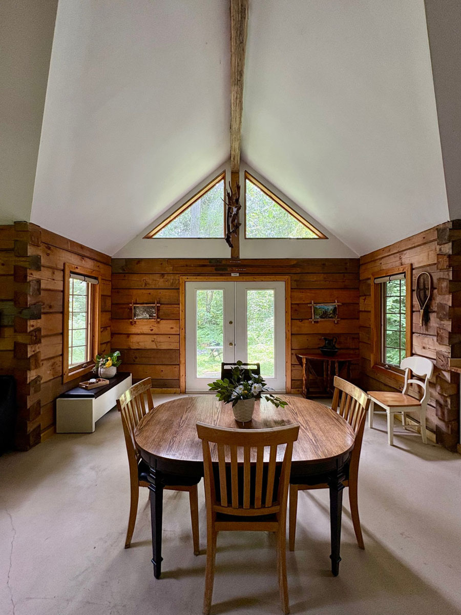
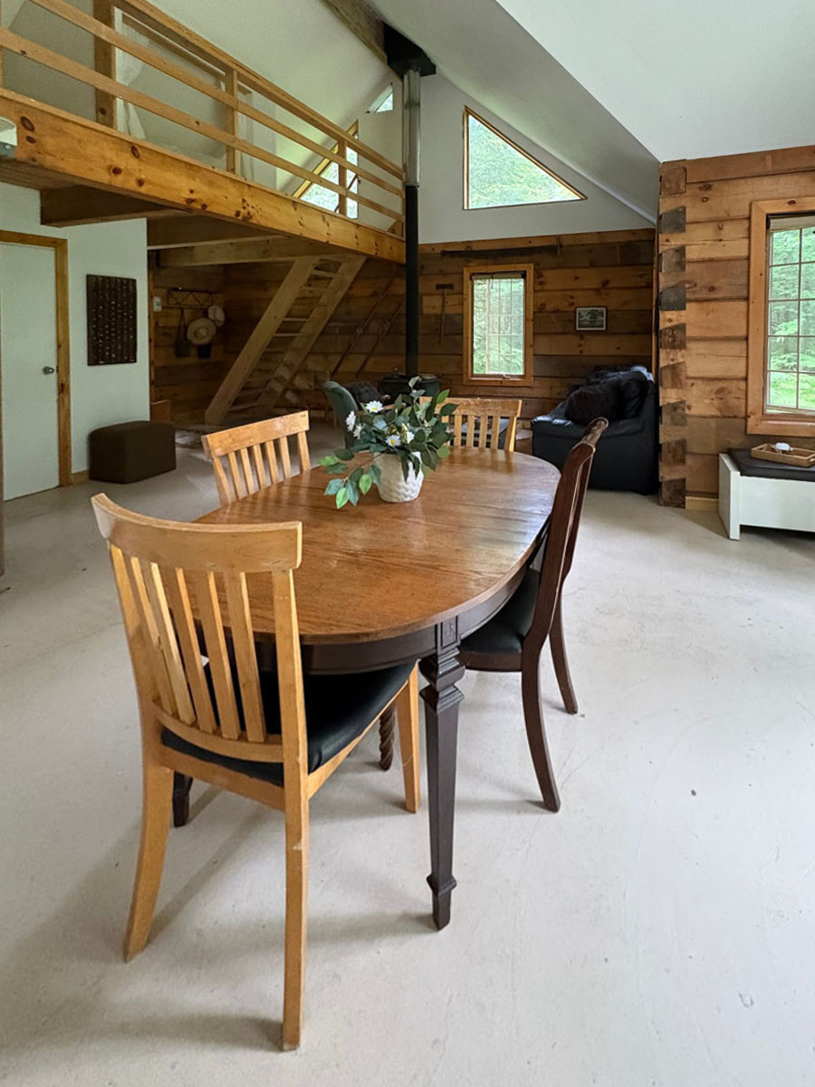
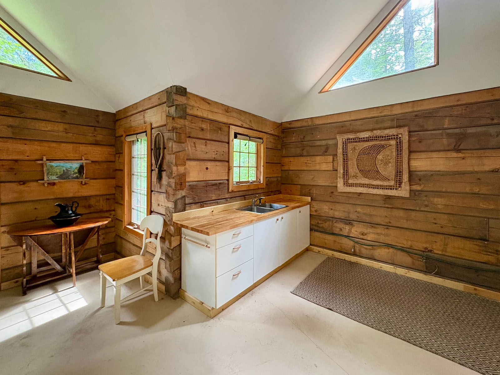
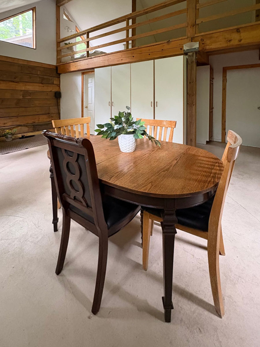
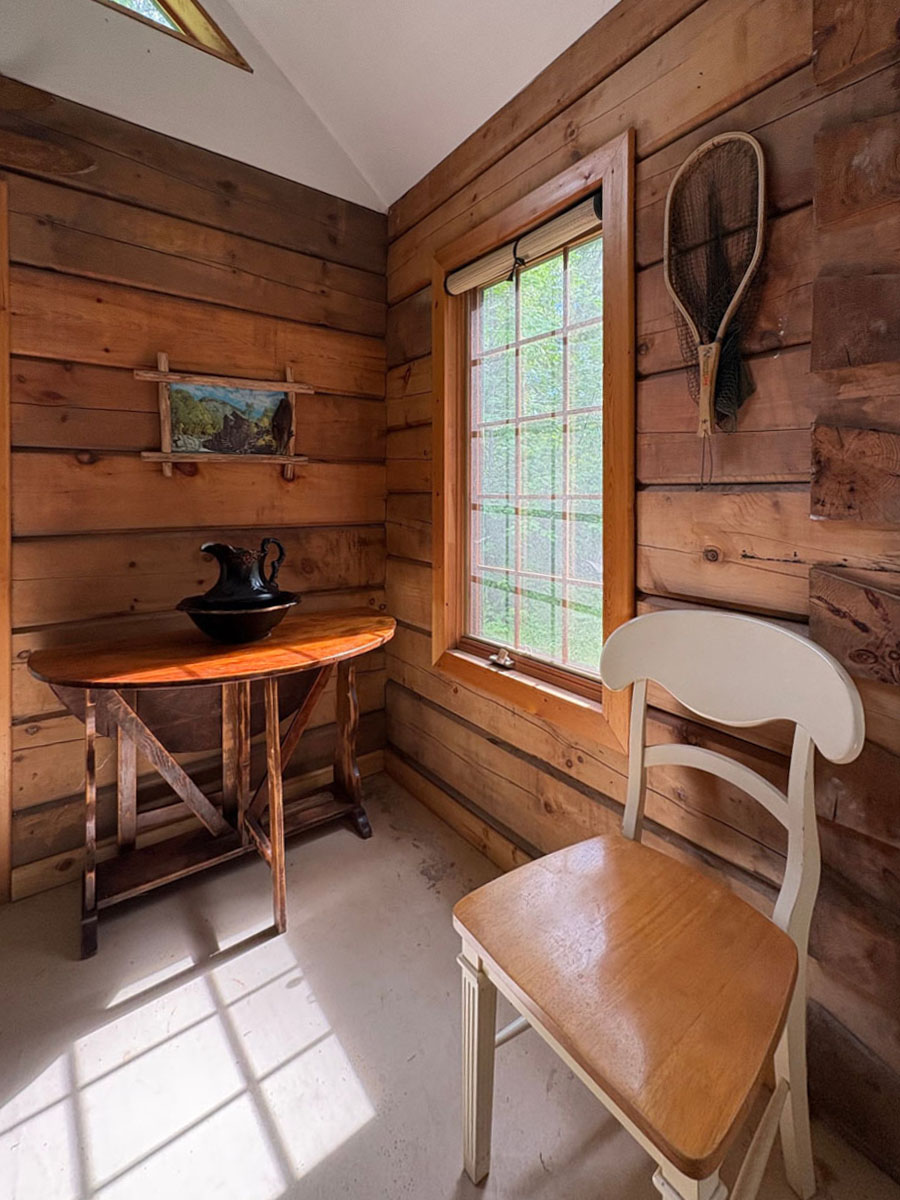
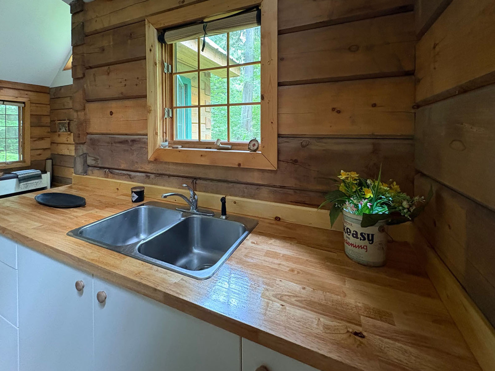
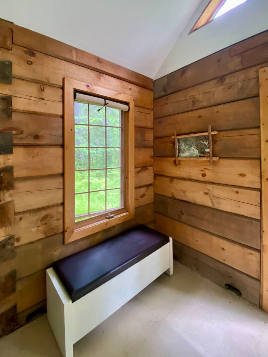
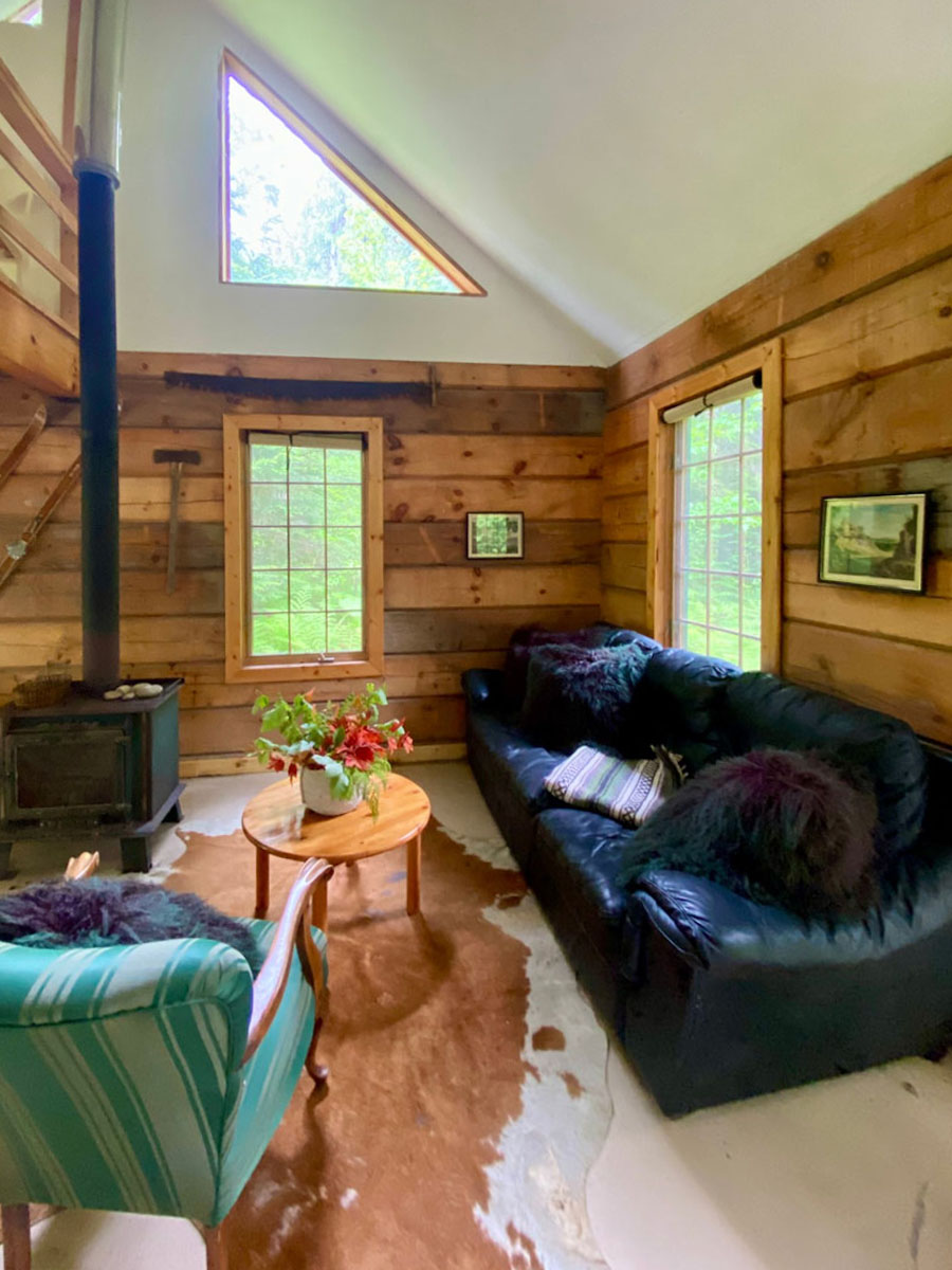
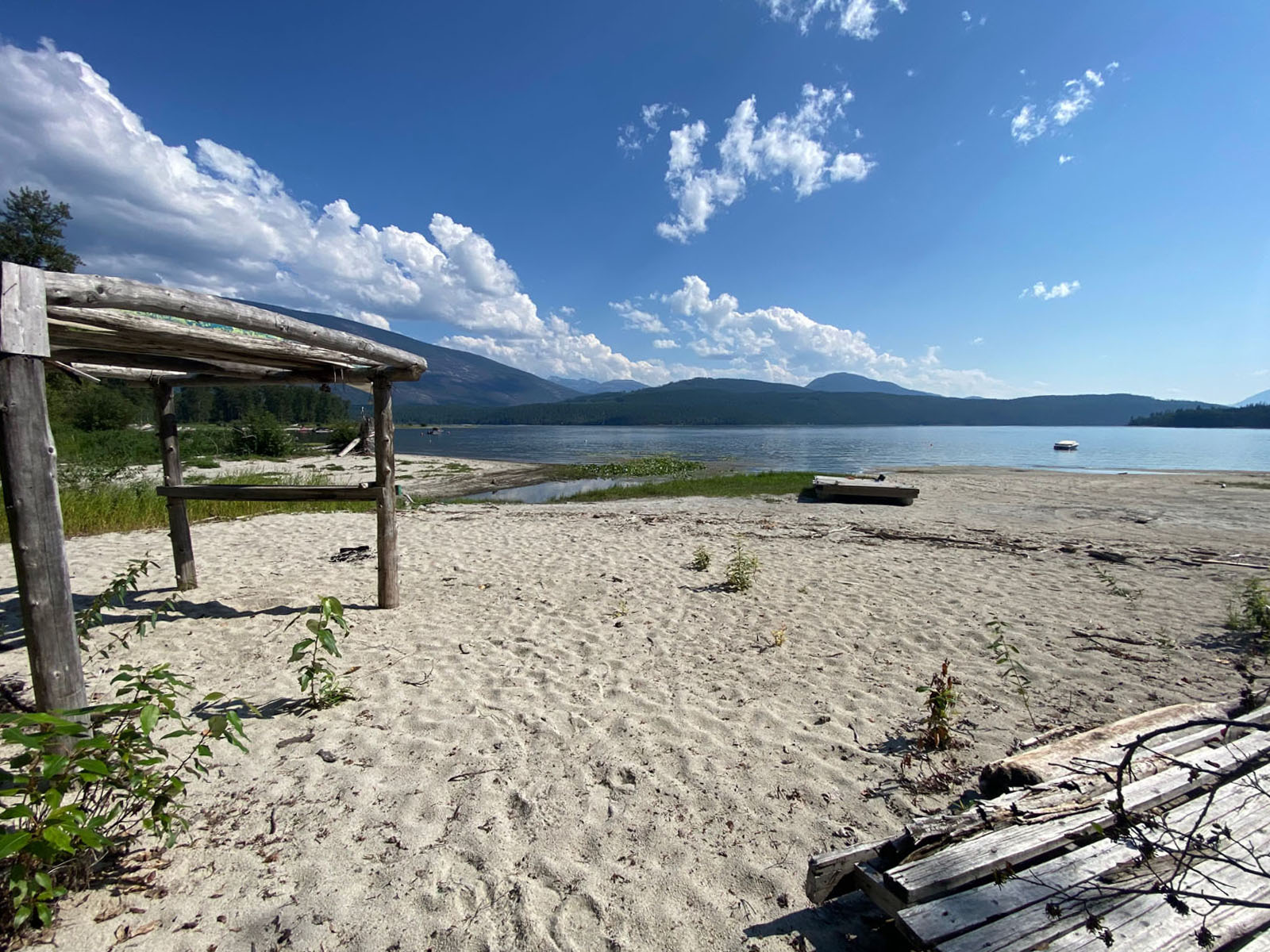
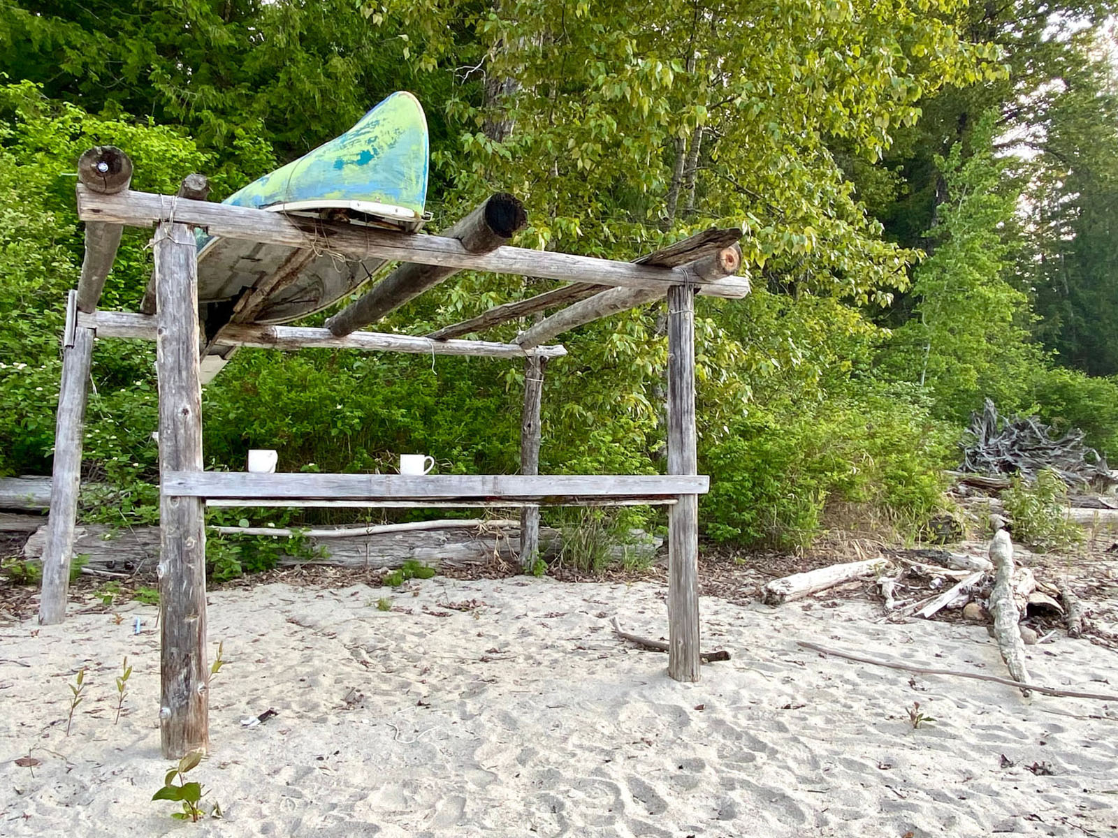
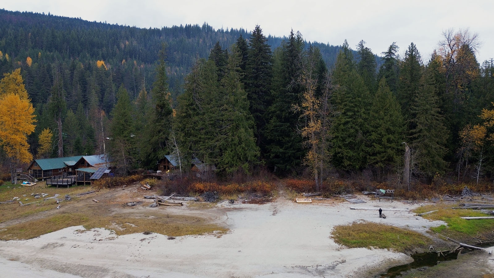
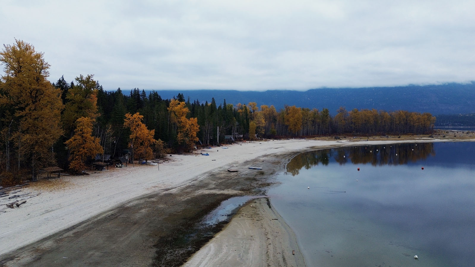
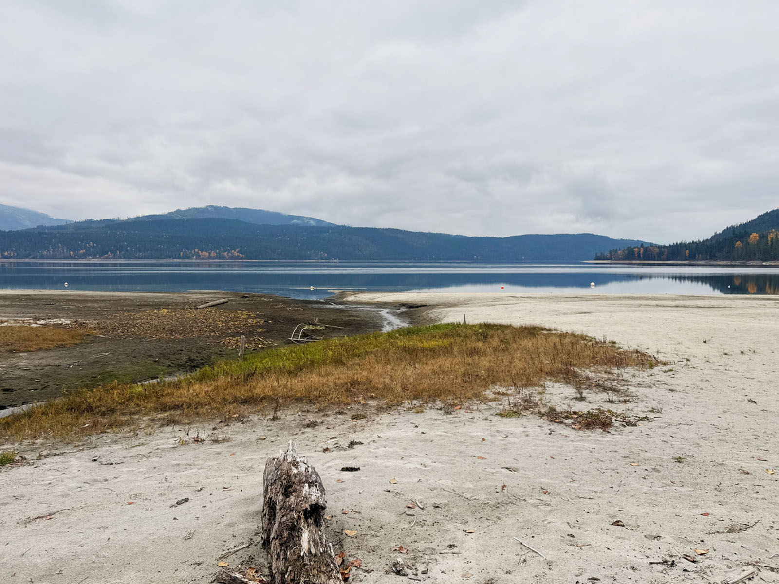
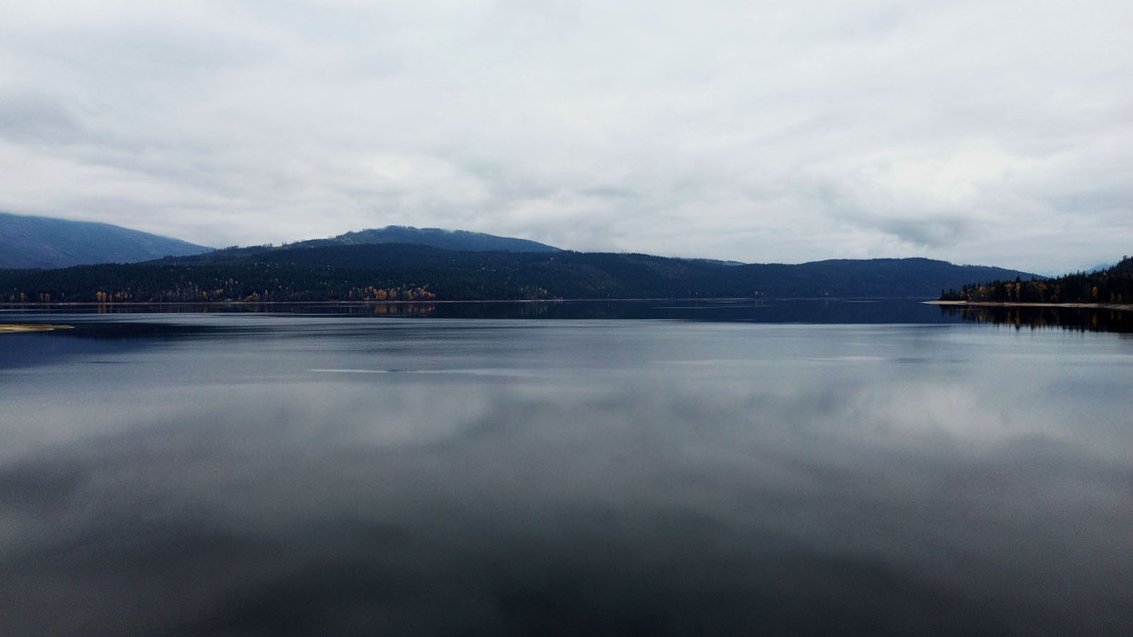
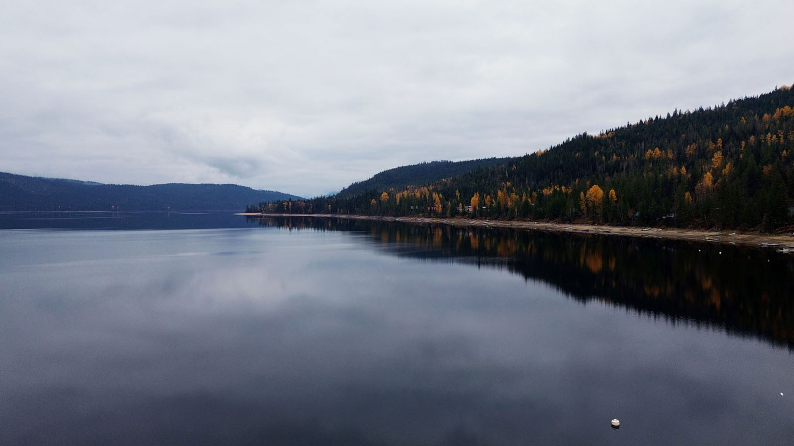
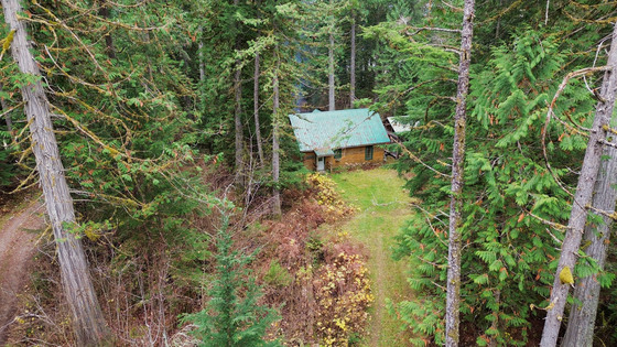
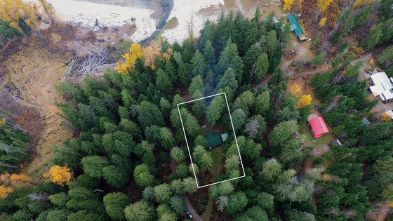
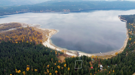
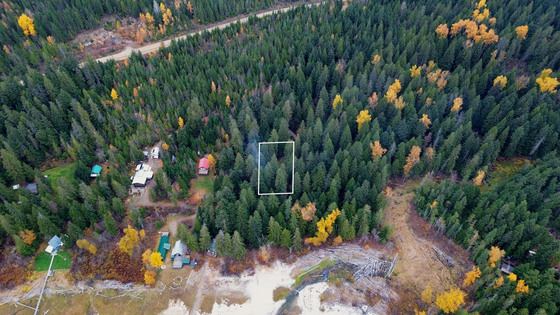
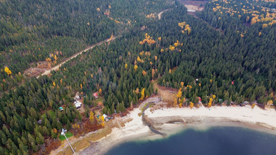
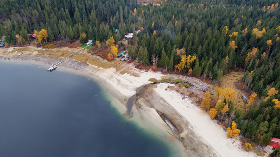
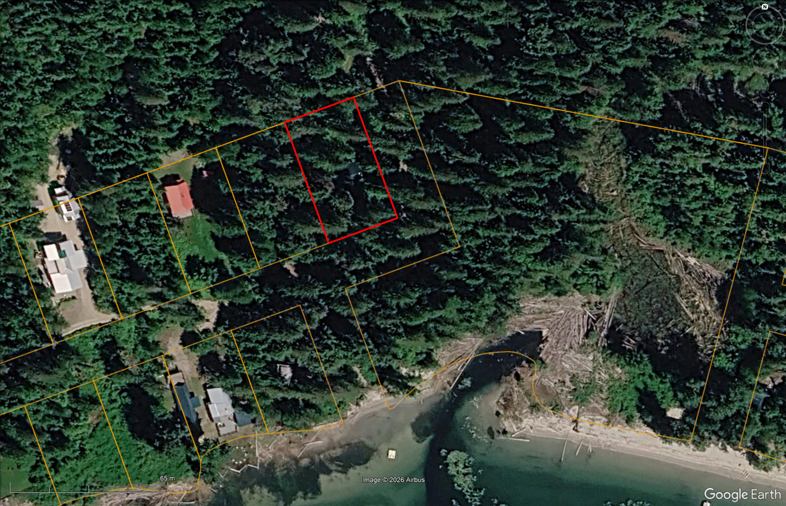
Set where the forest meets the shoreline on Dasniers Bay, this level 0.4-acre lot is wrapped in mature cedars, with no private lots standing between you and the water. A short, level path leads from the yard through the trees and opens onto a wide sandy beach, with views across the lake that seem almost endless.
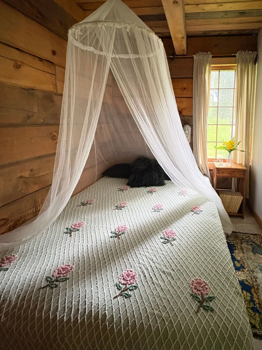
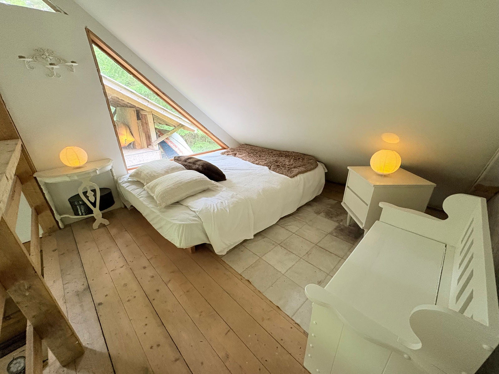
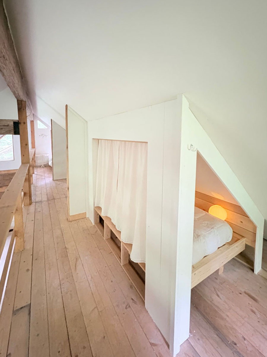
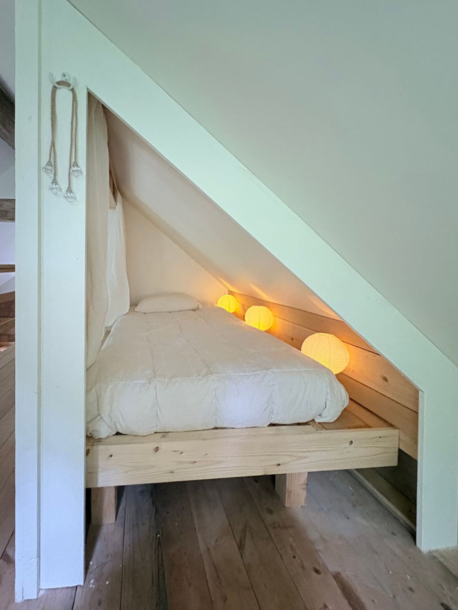
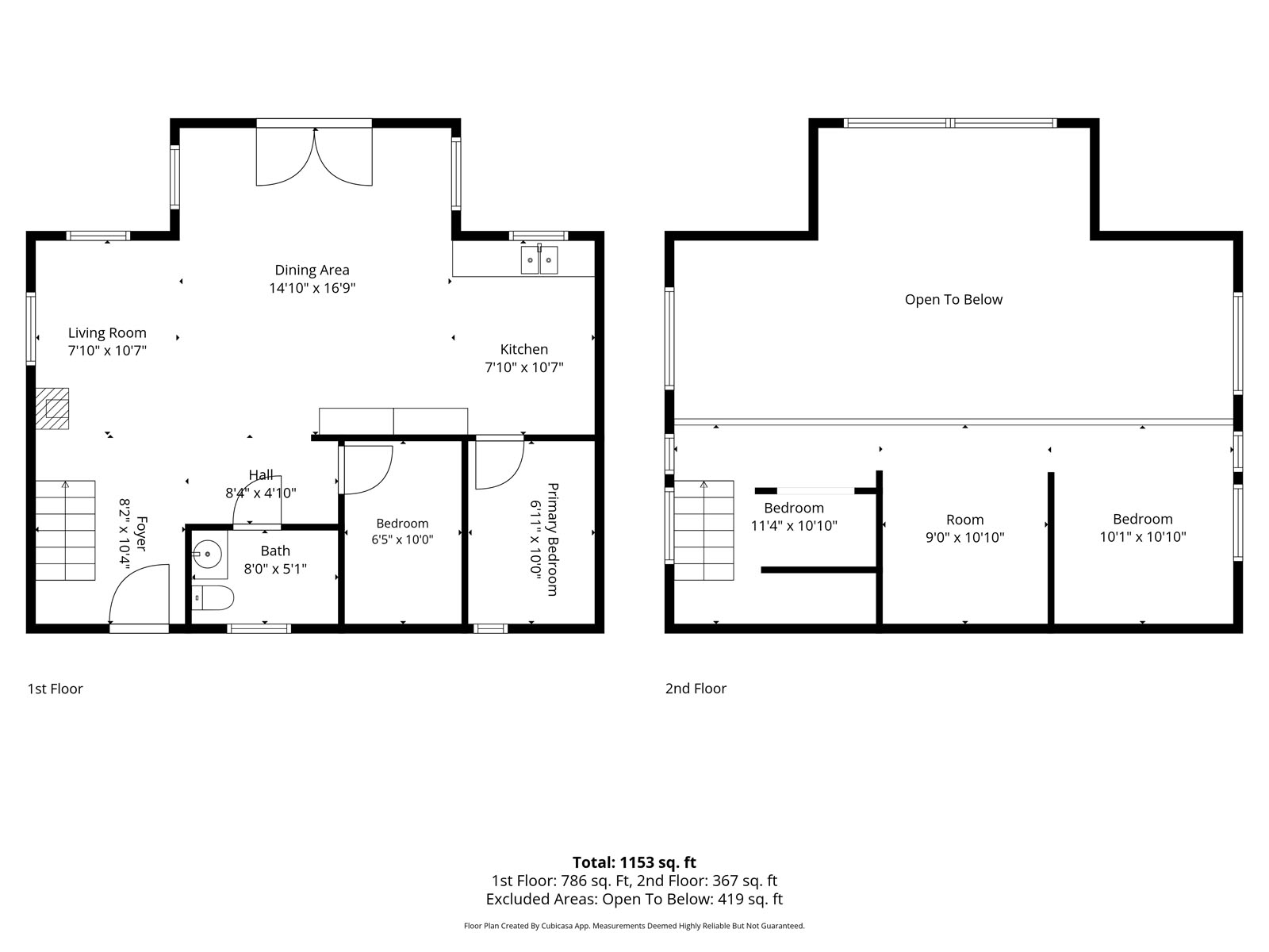
An authentic Confederation-built log cabin sits at the centre of the lot, built in 2008 on a slab-on-grade foundation under a metal roof. Inside, vaulted ceilings and exposed timber beams frame an open living and dining area warmed by a wood stove, with French doors opening to the yard. The main floor has two bedrooms and a partial bathroom, with the loft above divided into three separate sleeping areas. Solid and well maintained, the cabin has seen thoughtful updates over the years.
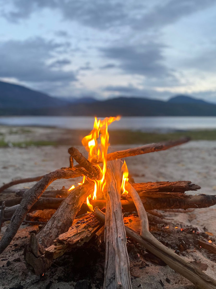
Outside, a framed outbuilding with windows and an entry door is ready to be finished as a bunkhouse or however you see fit, along with a traditional outhouse and a firepit in the backyard. The lot is gated off Thorpe Road, with space for family and friends to bring along an RV and still room to add a shop down the road. The property runs off-grid on a seasonal gravity-fed water system from a nearby creek, an owner-installed septic system and a solar setup for lighting, with additional panels on site ready to be hooked up.
Held in the family for 50 years and sold with furnishings, this is a true Shuswap hideaway you can enjoy from the first weekend or call home year-round.
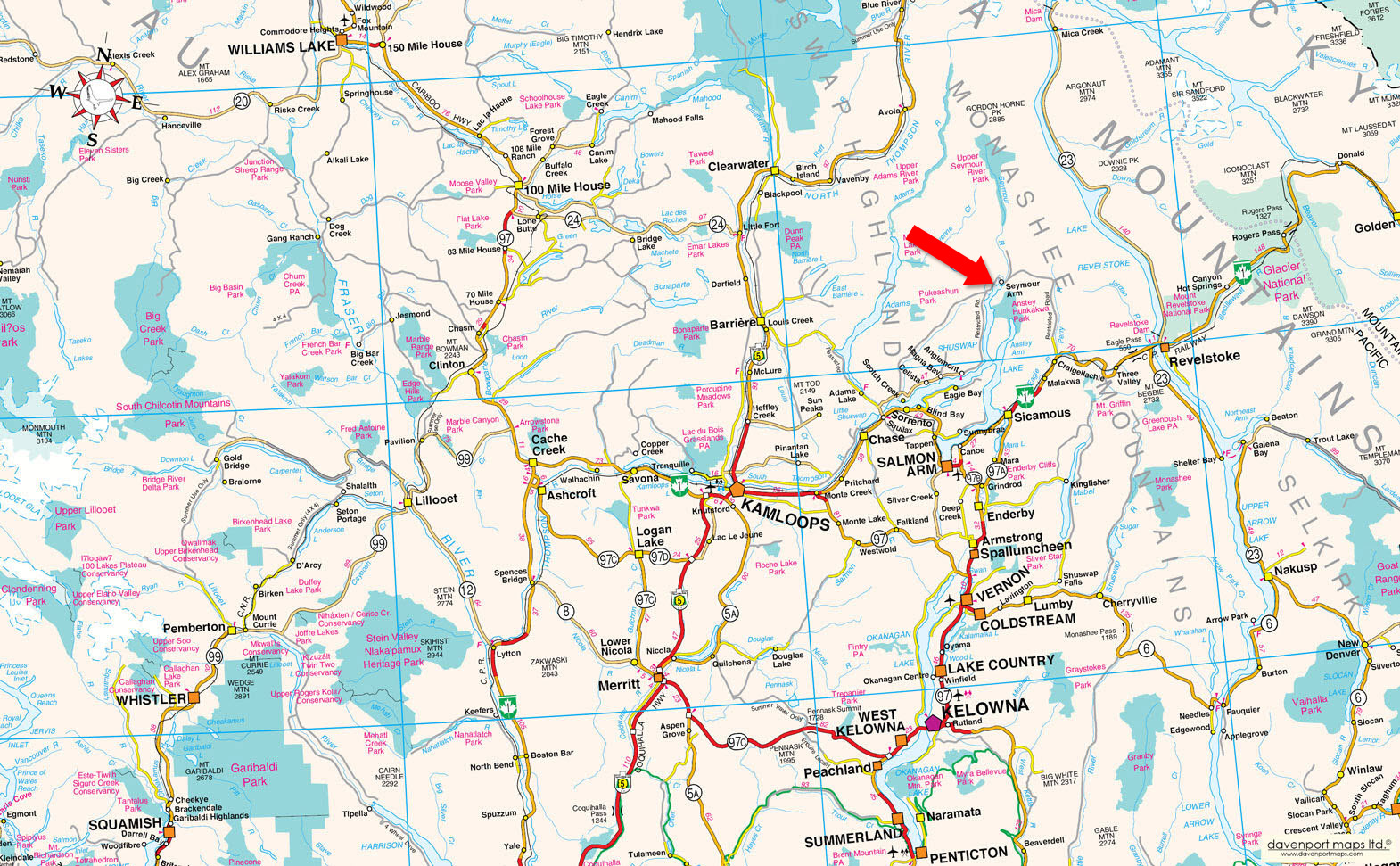
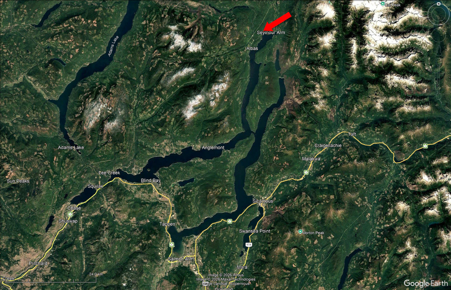
Seymour Arm is a quiet, close-knit community at the north end of Shuswap Lake, made up mostly of recreational property owners alongside a small year-round community of approximately 100 full-time residents. Access is via the Seymour Main Forest Service Road, a well-maintained, wide gravel road that is plowed and open year-round, and drives more like a highway than a typical forest road.
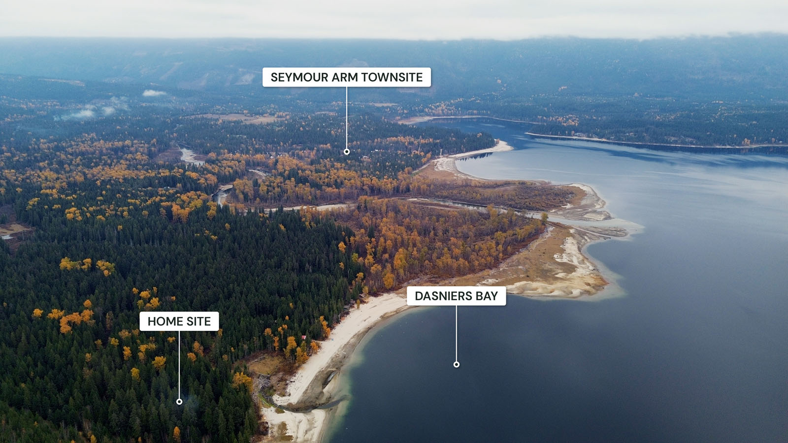
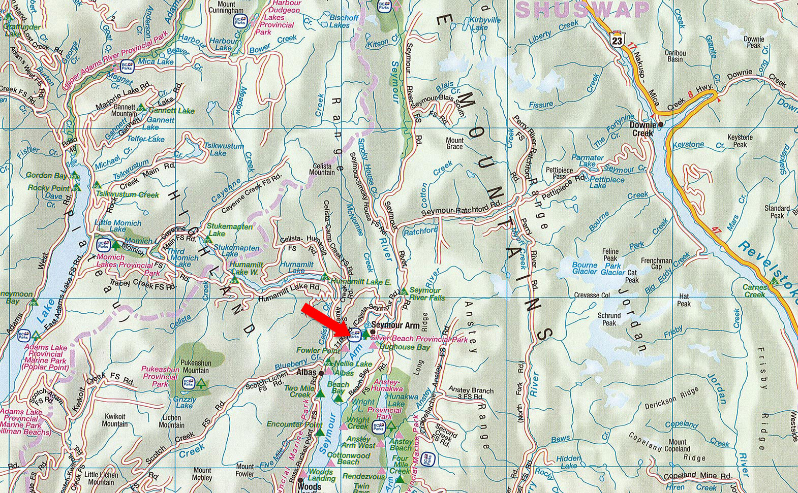
The Seymour Arm townsite is approximately 5 minutes from the property, with a general store and marina offering groceries, a liquor store, vehicle and marine fuel and propane refills, along with a pub, a community hall with a small library, a public wharf and a provincial campground. Drinking water is available locally and propane delivery services the area.
Scotch Creek, approximately a 1.5-hour drive, is the closest larger community for groceries, hardware and everyday services. For bigger grocery runs and big box stores, Salmon Arm is approximately 2 hours away and home to Shuswap Lake General Hospital, while Kamloops is approximately 2.5 hours away with full city amenities and the nearest major airport.
Shuswap Lake is one of Western Canada's most sought-after recreational lakes, with approximately 310 square kilometres of water and more than 1,000 kilometres of shoreline. Known as the houseboat capital of Canada, it offers sandy beaches, marine parks, water sports and fishing for rainbow trout, kokanee and lake trout.
Seymour Arm sits at the quiet north end of the lake, away from the summer crowds, with Silver Beach Provincial Park, the Seymour River estuary and a public wharf close by. Crown land surrounding the property puts hunting and hiking right at your doorstep, with Seymour River Falls, Albas Falls and the backcountry lakes and trails of the Shuswap Highlands a short drive away. In winter, the mountains offer excellent snowmobiling, cross-country skiing and snowshoeing.
Seymour Arm was first settled in 1865 as Ogden City, a bustling supply town for miners heading to the Big Bend Gold Rush on the Columbia River. Named after Frederick Seymour, Governor of British Columbia from 1864 to 1869, the town grew to a peak population of approximately 5,000, with a Hudson's Bay Company post, 13 stores, six saloons and dozens of other businesses lining its streets.
The boomtown was destroyed by fire in the late 1860s, but the area was revived in the early 1900s by English developers promoting the Seymour Arm Fruit Lands Company, with a post office, school and hotel established in 1910. The original floating general store opened in 1963 and has served the community for more than six decades, and today Seymour Arm is a peaceful recreational community, with Dasniers Bay offering some of the most sought-after sandy shoreline on the lake.
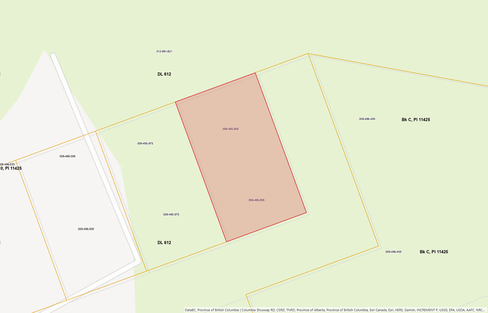
Bordered by provincial Crown land on three sides, with a vacant private lot to the east.
51°14'24.96"N and 118°58'25.18"W
$700.84 (2026)
No zoning.
LOT 7 BLOCK B DISTRICT LOT 612 KAMLOOPS DIVISION YALE DISTRICT PLAN 11425
PID 009-495-959
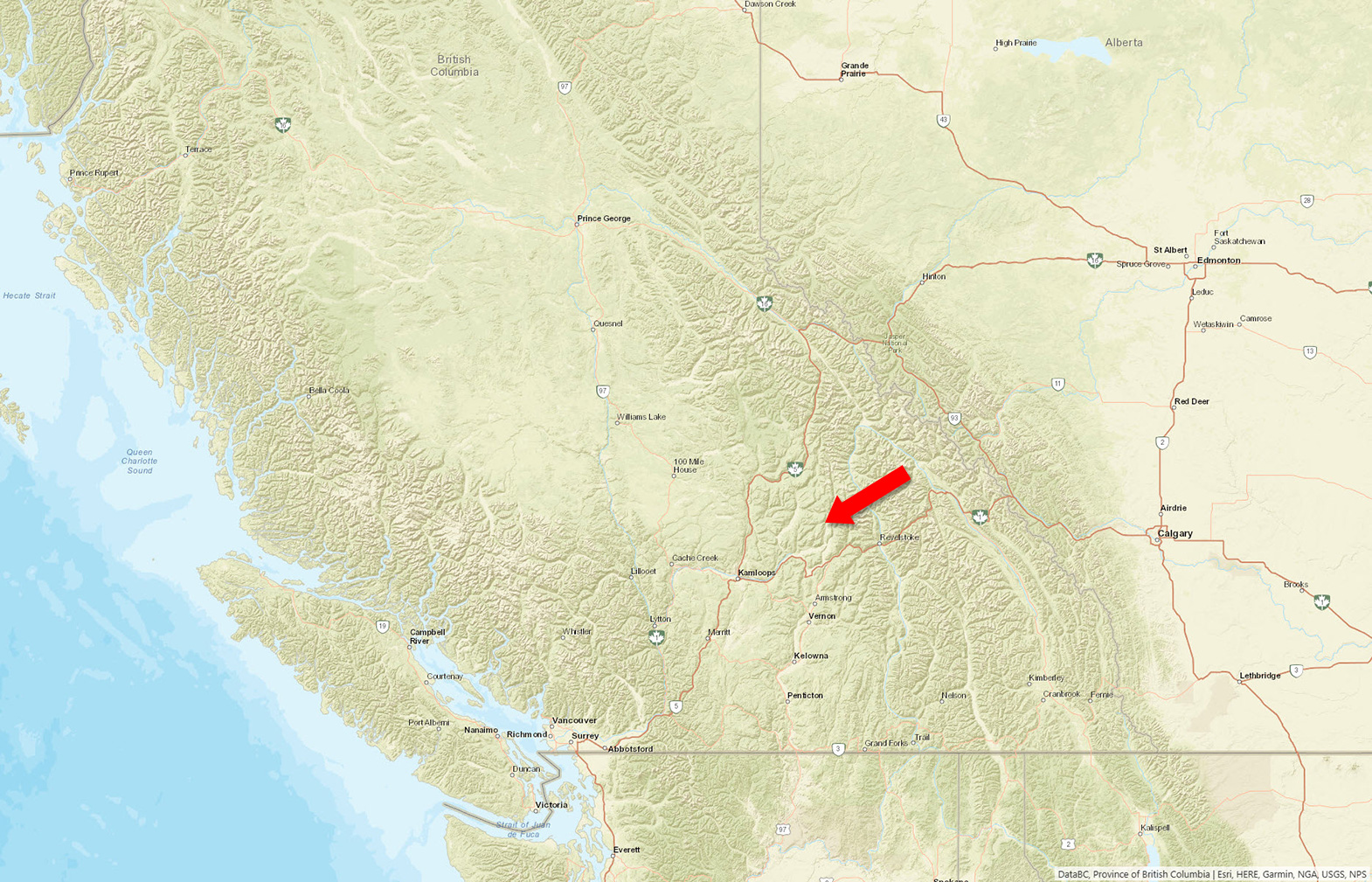 +8 maps
Our property descriptions and geographical information are taken from the BC Assessment Authority, Land Titles Office, government maps and other sources. While LandQuest® does not guarantee the information, we believe it to be accurate, but should not be relied upon without verification. This communication is not intended to cause or induce breach of an existing agency agreement.
Seymour Arm
 3℃
 3℃