


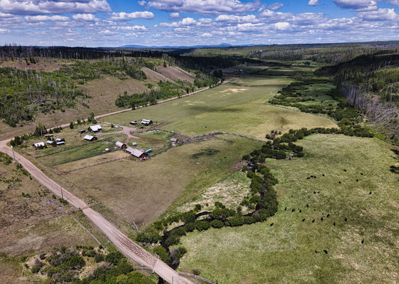
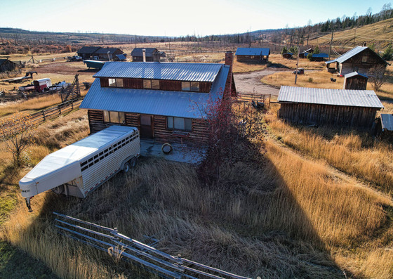
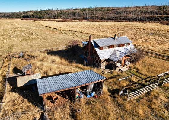
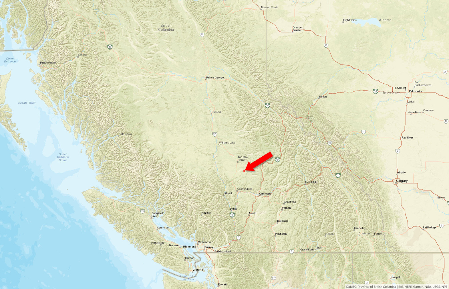
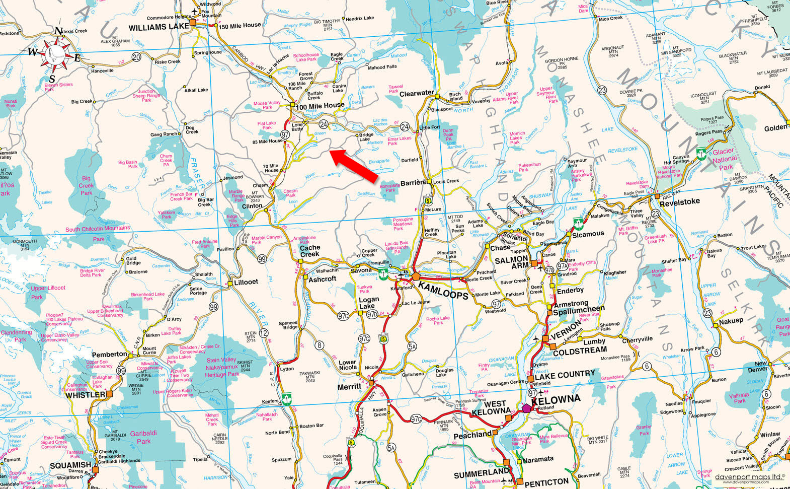
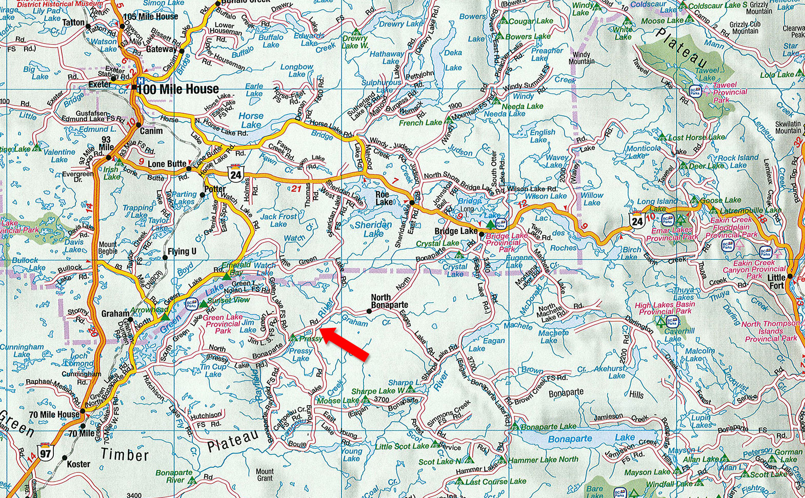
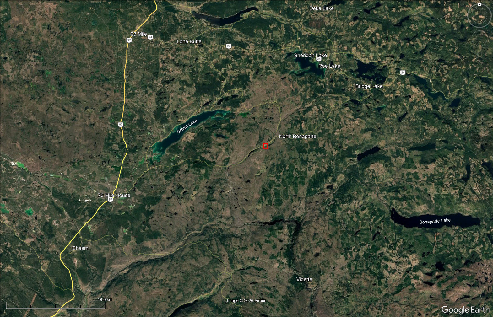
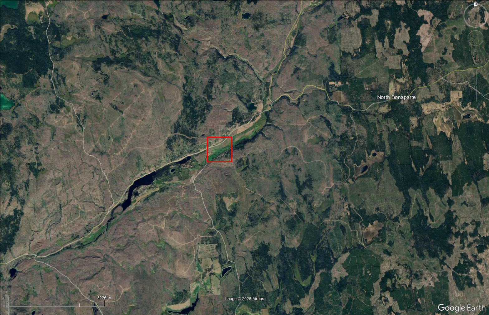
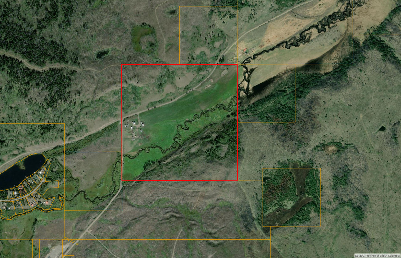
Canyon Creek Ranch offers 160± acres approximately 20 miles east of 70 Mile House, featuring 22± acres of dryland hay, multiple access points, well water, power & telephone. Improvements include two 1,500± square-foot log-frame homes, three seasonal cabins & various ranch outbuildings.
 +16 photos
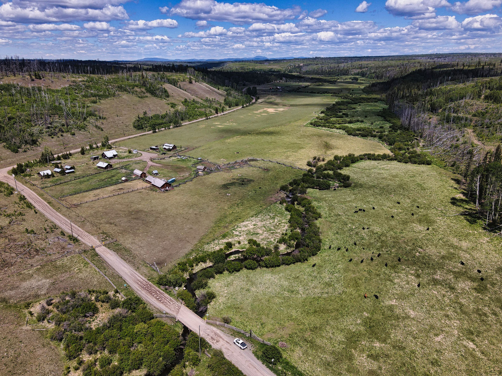
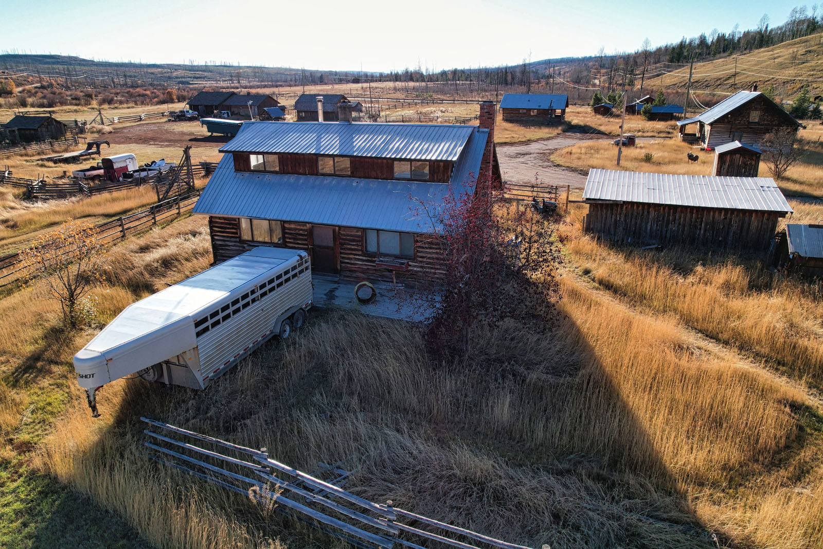
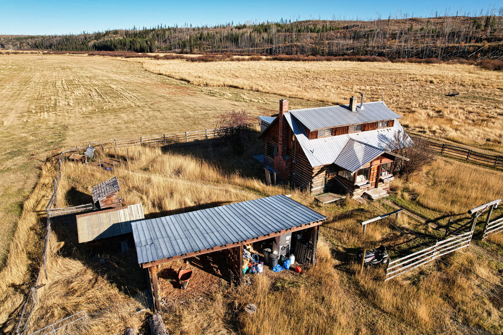
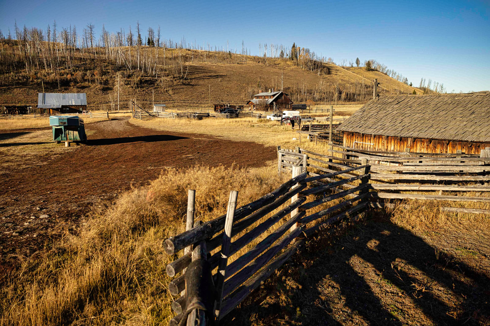
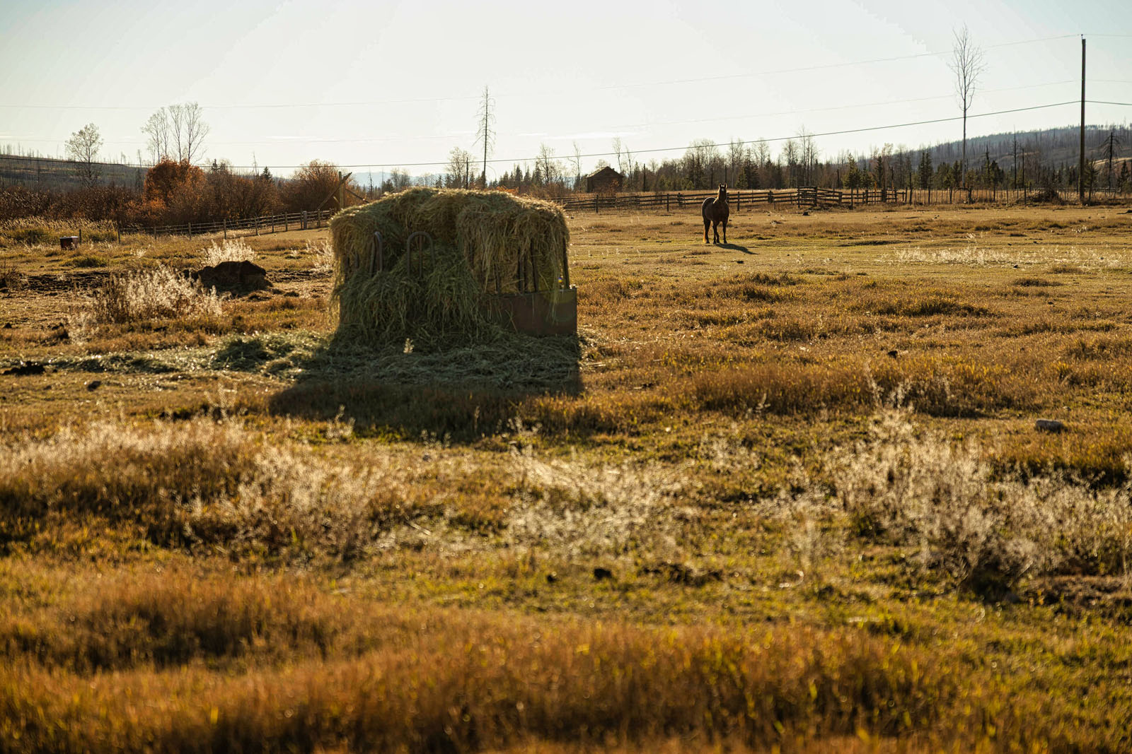
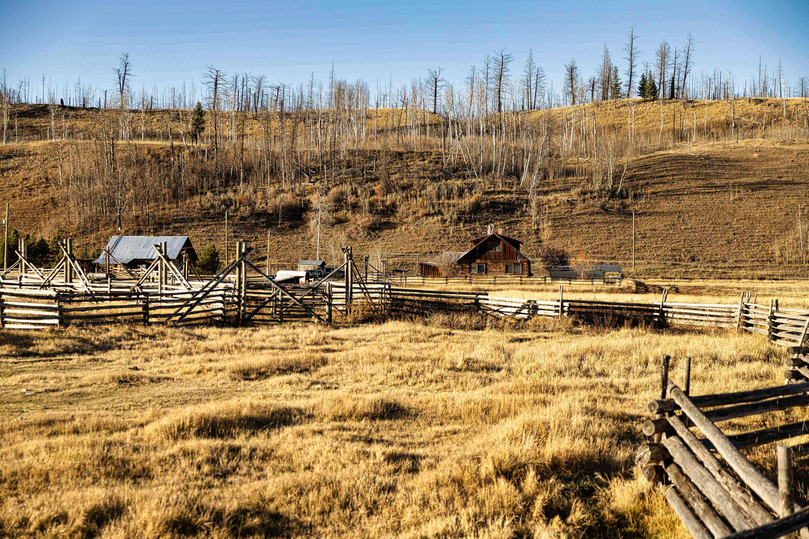
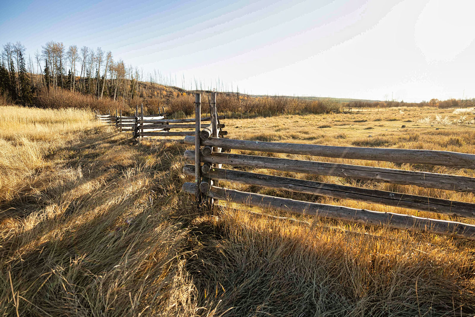
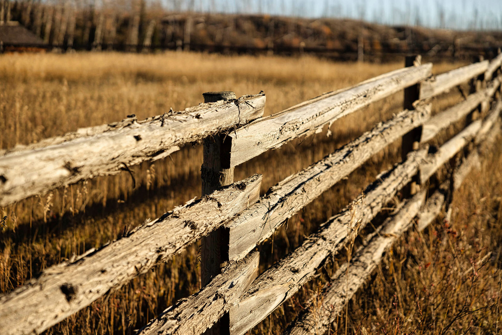
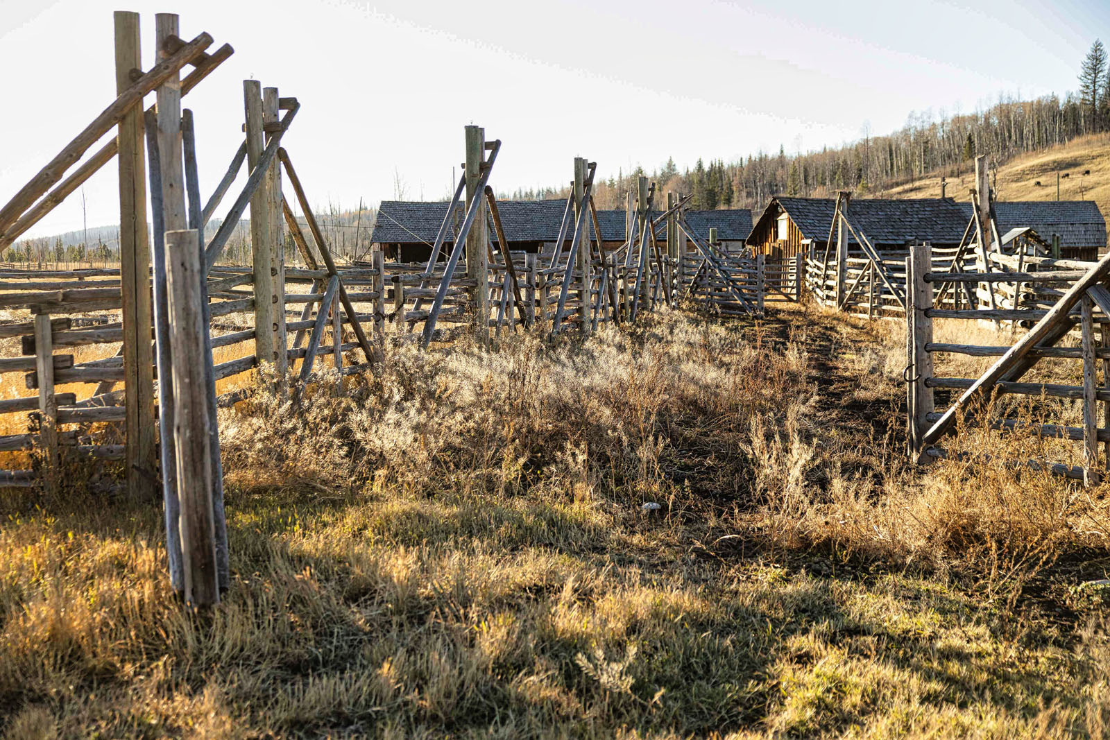
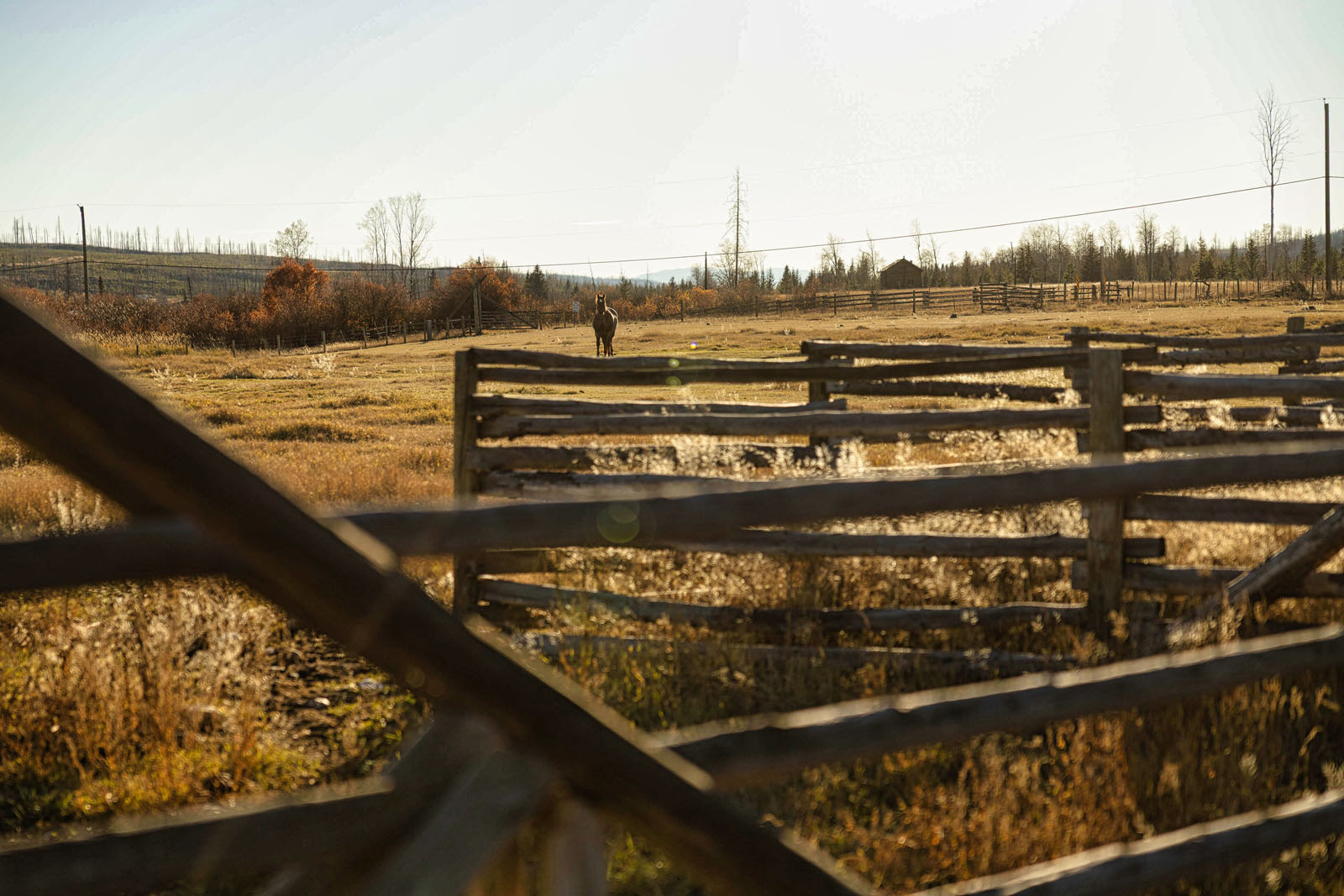
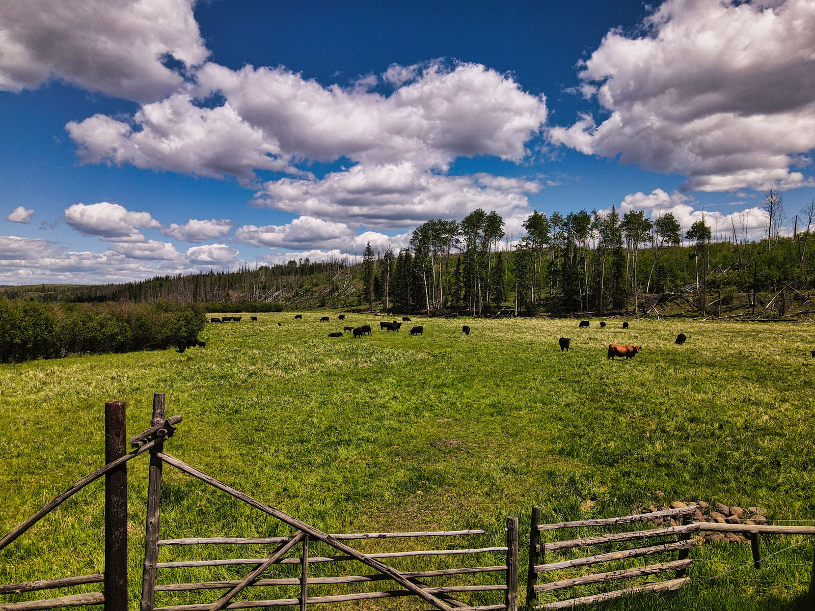
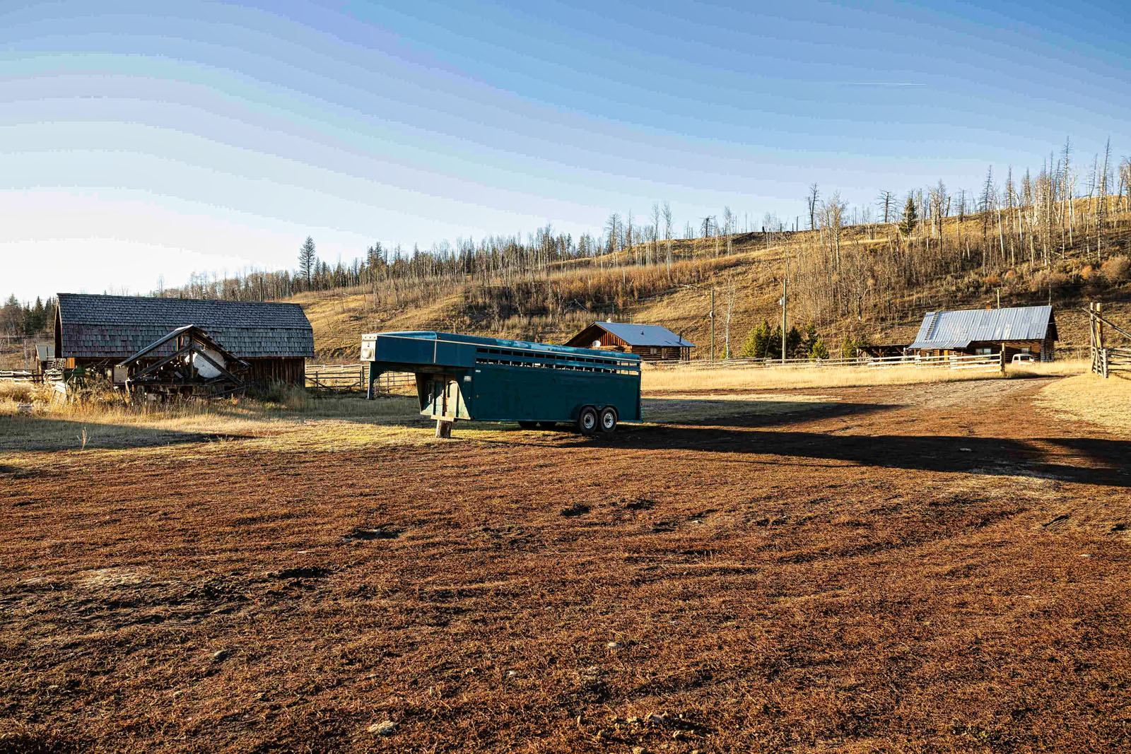
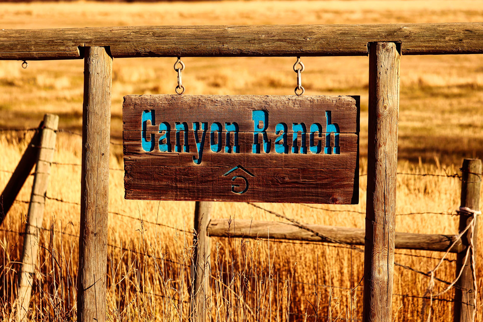
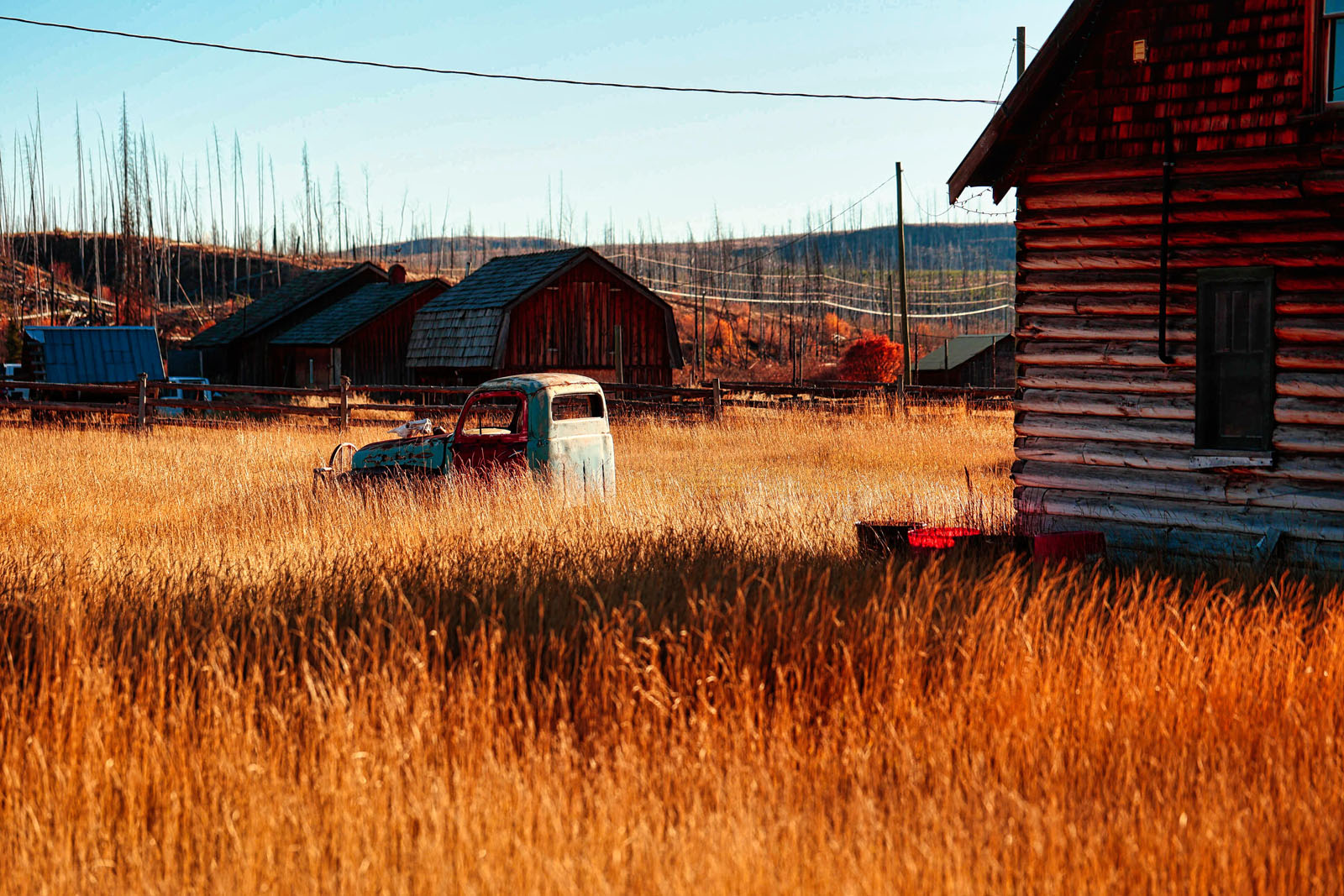
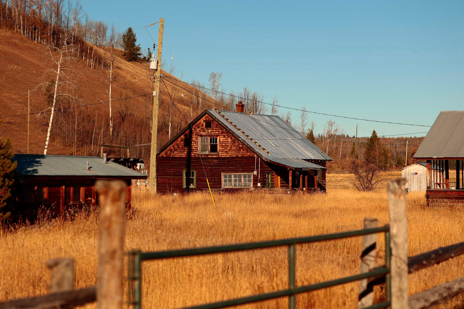
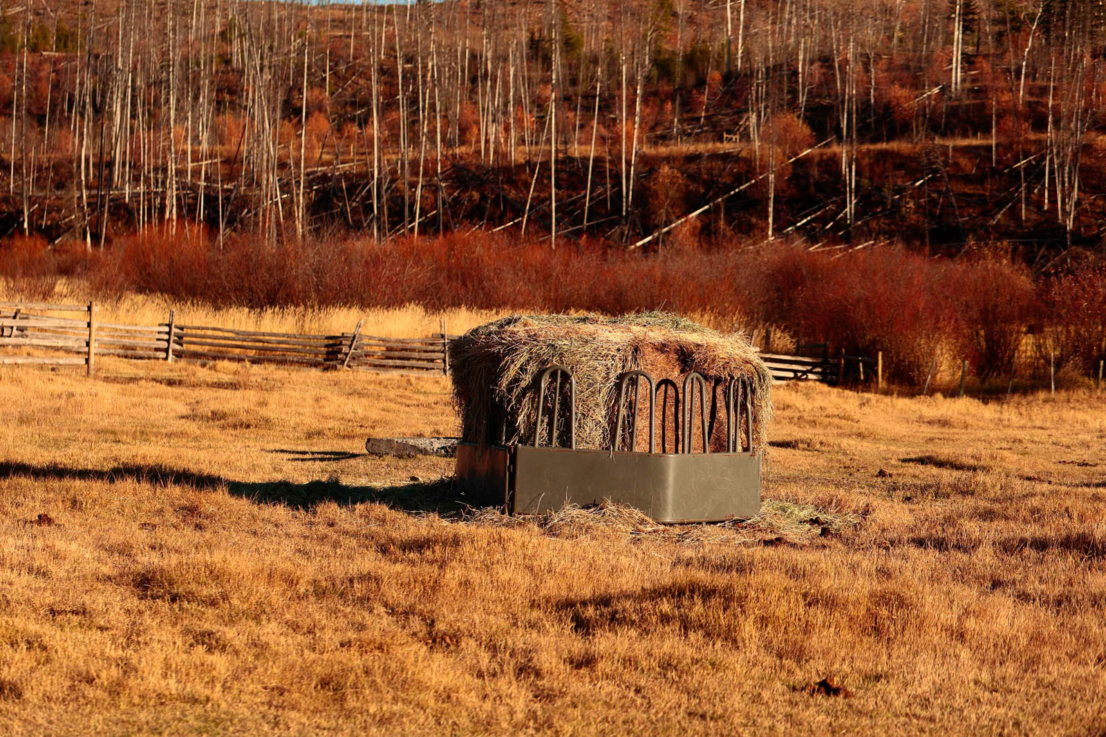
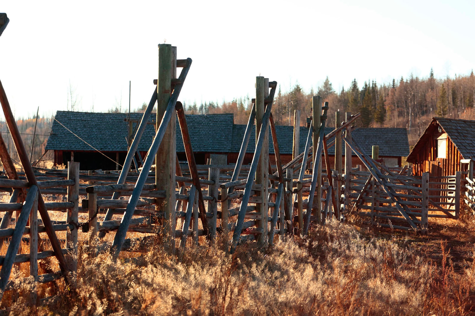
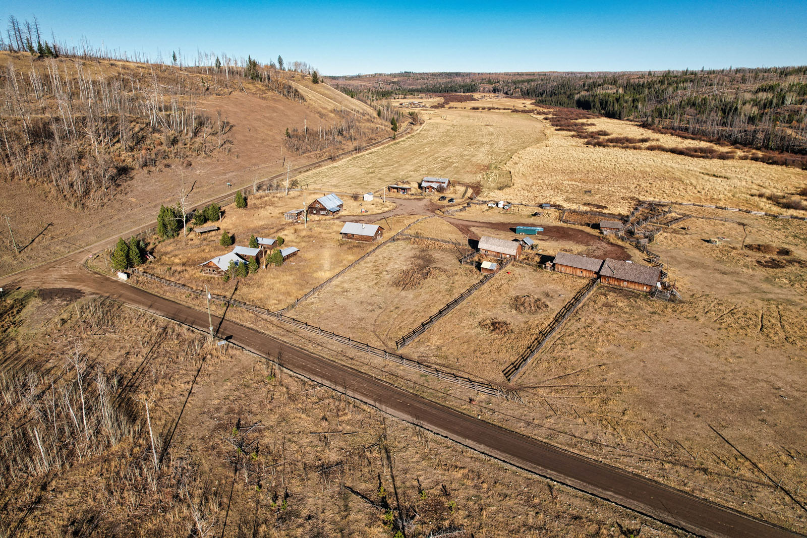
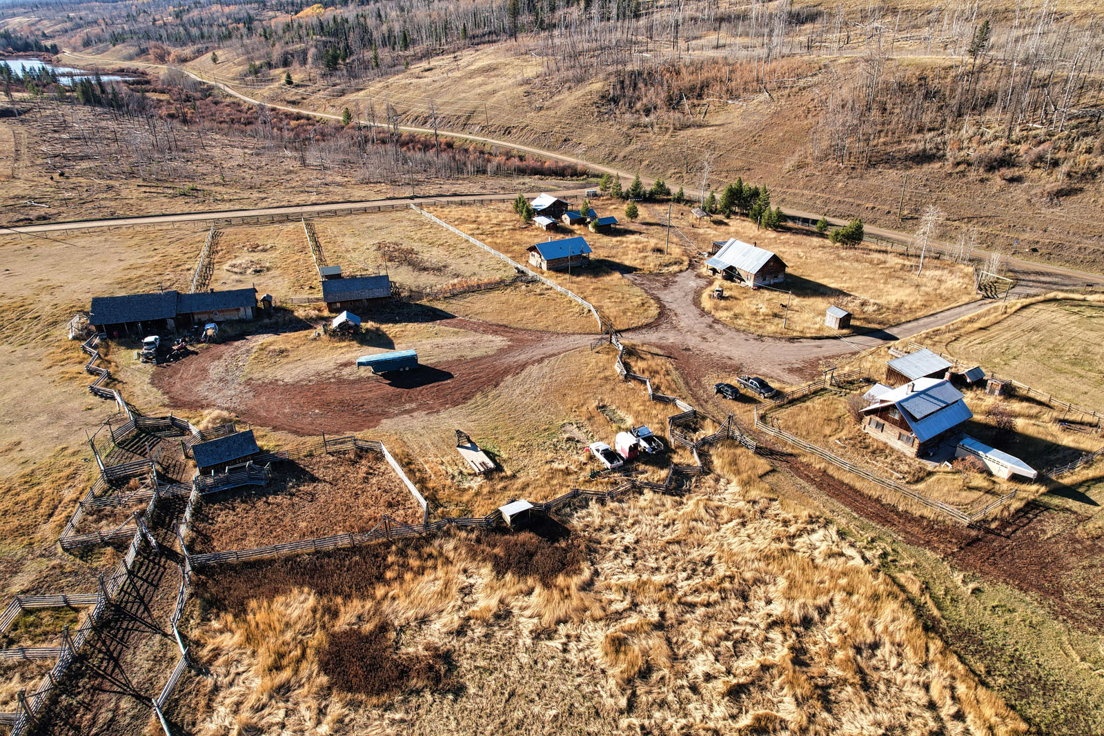
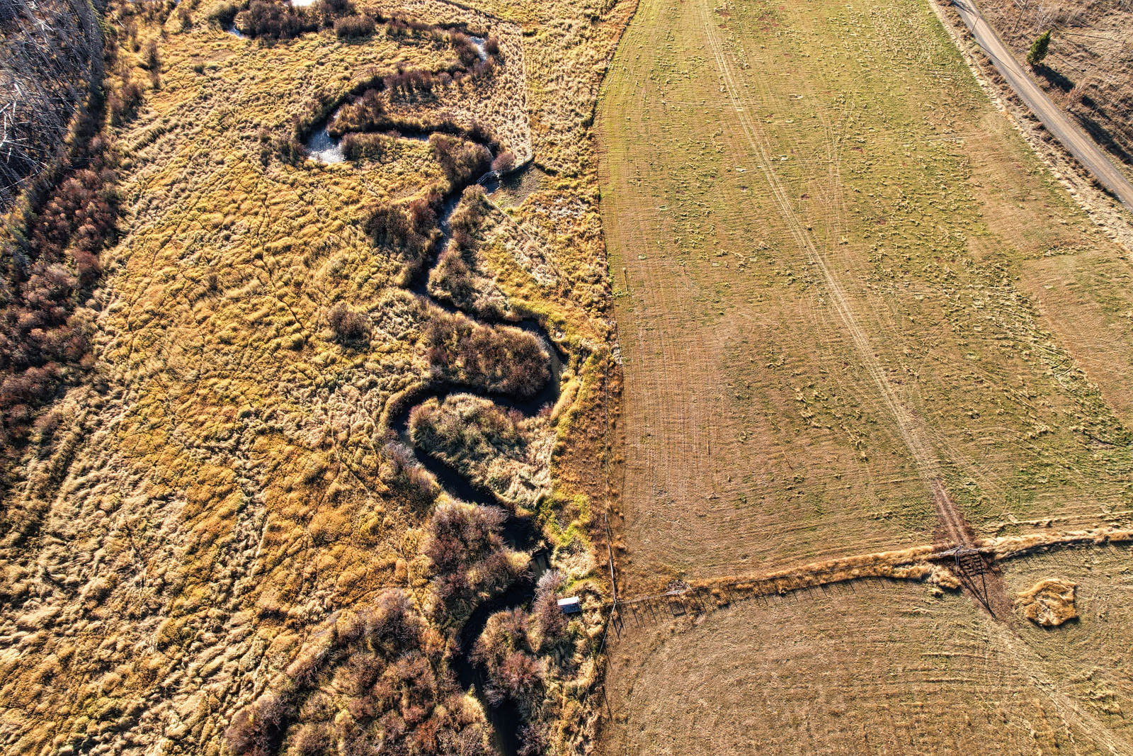
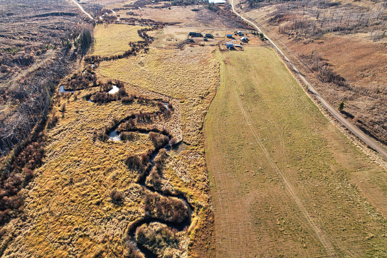
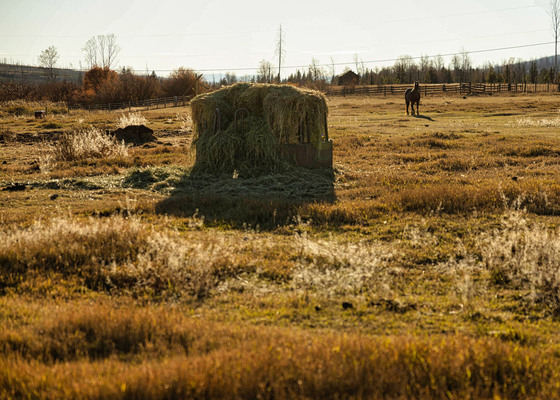
An excellent investment opportunity or starter ranch, Canyon Creek Ranch offers 160± acres approximately 20 miles east of 70 Mile House, BC. Situated at an elevation of approximately 3,360 feet, the property features approximately 22 acres traditionally used for dryland hay production to support the surrounding cattle operation.
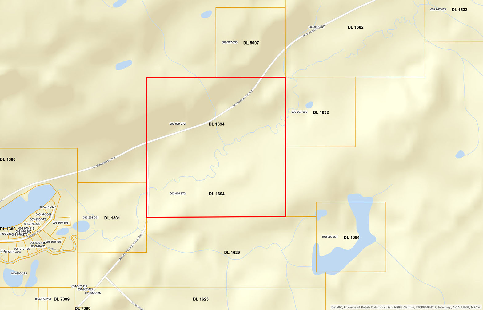
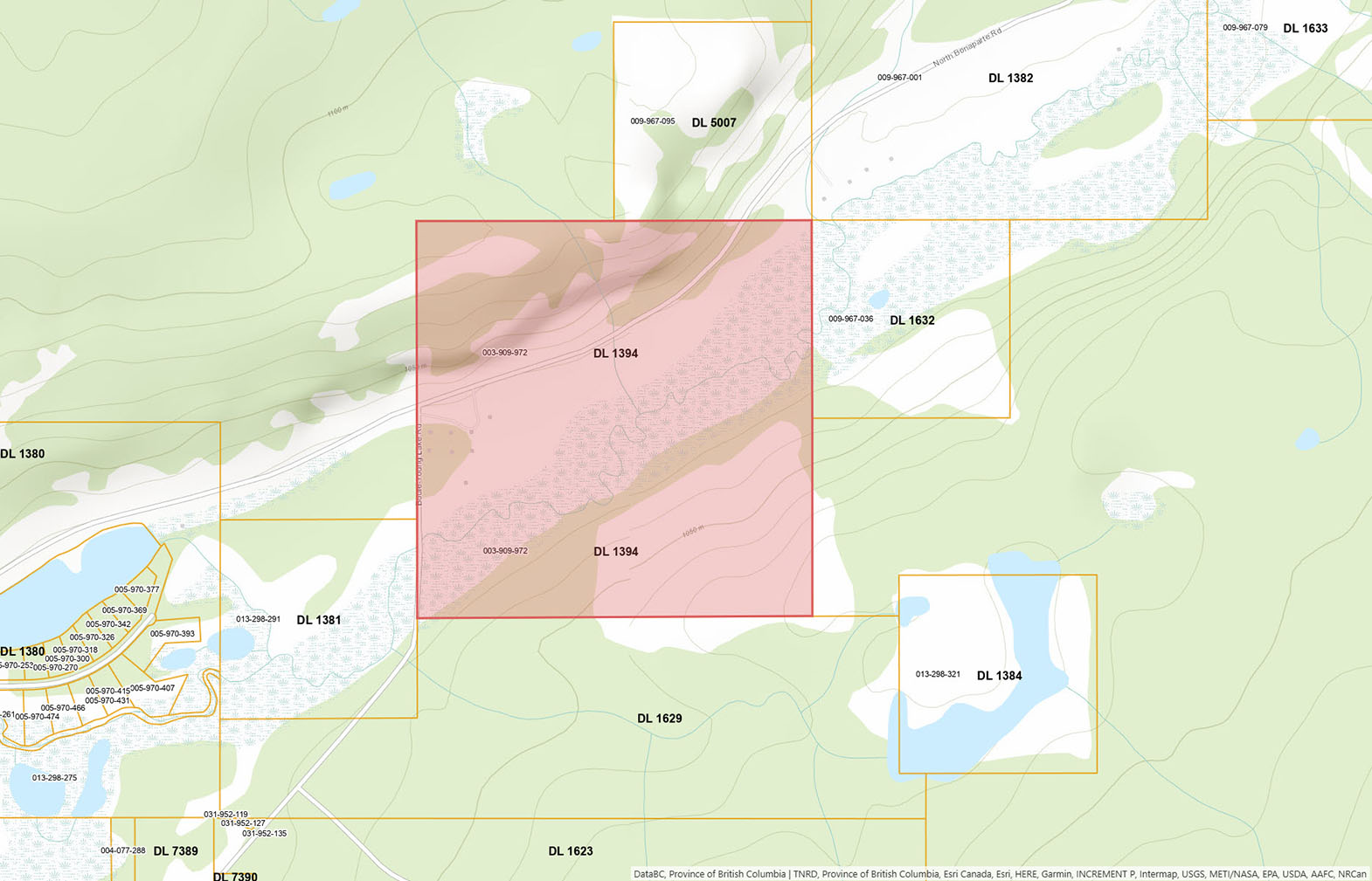
The property fronts both Bonaparte Road and Young Lake Road, with Bonaparte Road crossing through the land and providing multiple points of access. Services include well water, electrical power and telephone.
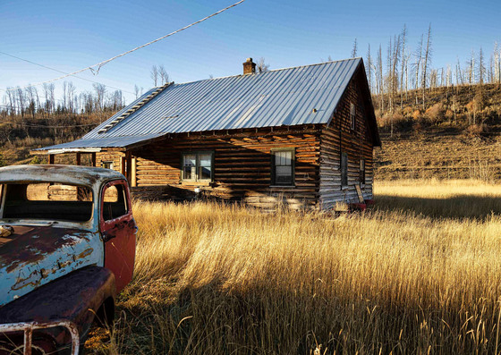
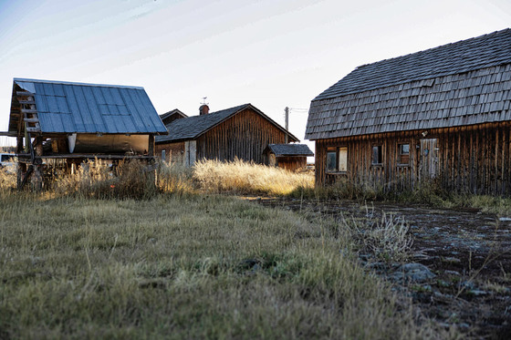
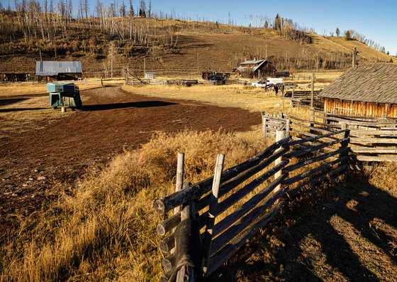
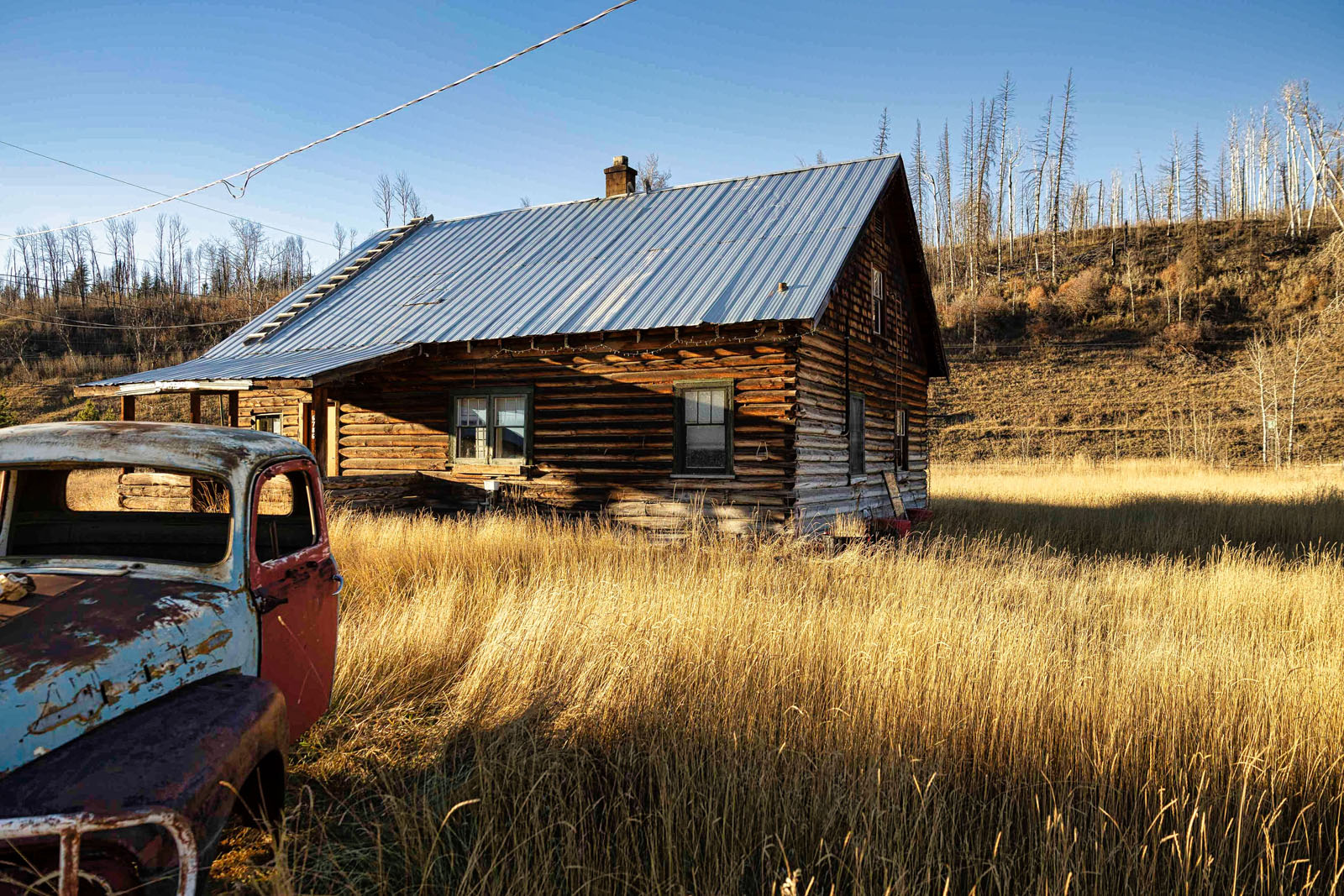
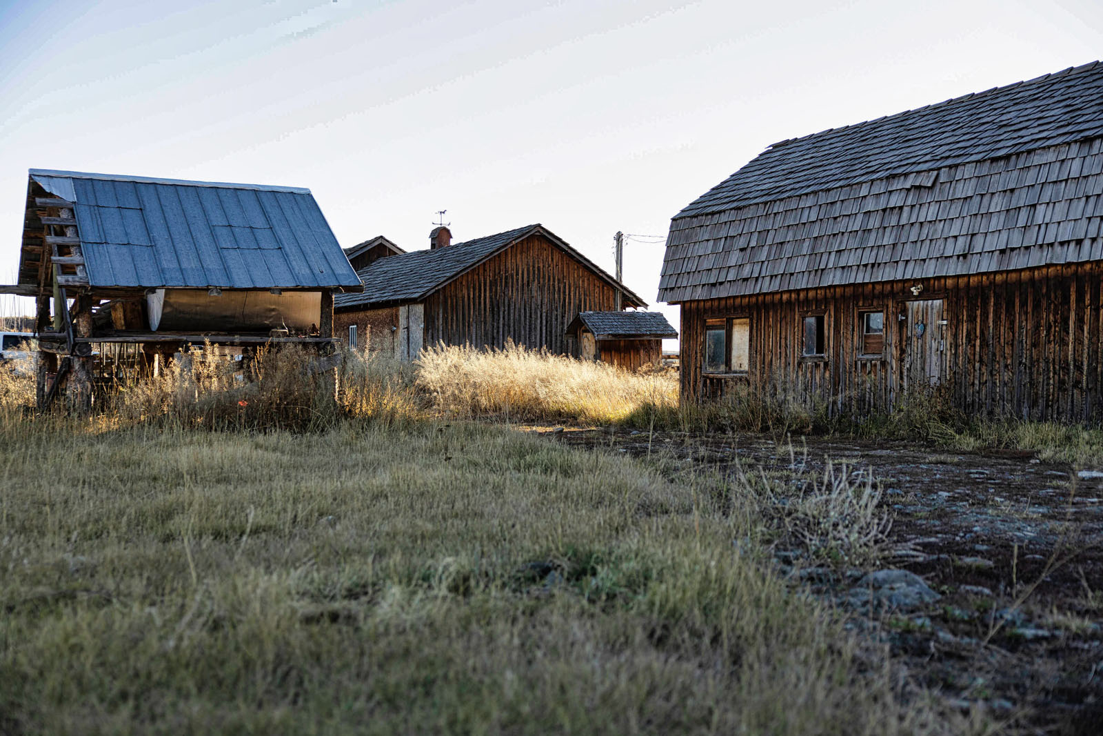
Improvements include two approximately 1,500-square-foot log-frame homes with steel-clad roofs, three seasonal cabins historically used to accommodate hunters and various older ranch outbuildings. The buildings have been maintained and remain operational, providing immediate utility for agricultural, recreational or rental use.
The broader 70 Mile House ranch portfolio is associated with several Crown range tenures, including the Fly Creek, Fly Creek West, Graham, Rayfield and Brown & Scot range agreements. These tenures adjoin and support multiple deeded ranch offerings and are not intended to be automatically allocated in their entirety to the Canyon Creek Ranch.
The proposed division and assignment of the Crown range will therefore need to be coordinated among the purchasers of the respective deeded properties and the Province of British Columbia’s Ministry of Forests, 100 Mile House Natural Resource District. Any final allocation, replacement or transfer will remain subject to provincial review and approval, taking into account the buyers’ intended operations, associated private lands and the practical management of each range area.
6784 North Bonaparte Road - 70 Mile House, BC
Contact the listing agent, showings by appointment only.
70 Mile House is a rural ranching community along Highway 97 in the South Cariboo. The surrounding landscape consists of rolling grasslands, open pasture, aspen groves and lodgepole pine forests, creating favourable conditions for cattle grazing and seasonal livestock production.
Nearby 100 Mile House serves as the principal commercial and agricultural centre for the South Cariboo, providing groceries, fuel, banking, healthcare, building supplies, mechanical services and a broad range of ranch and business services. Highway 97 offers direct access north toward Williams Lake and south toward Clinton and Kamloops, while the regional economy remains closely connected to agriculture, forestry, transportation and tourism.
The 70 Mile House area is surrounded by an exceptional concentration of lakes and outdoor recreation opportunities. Green Lake, one of the largest lakes in the southern Cariboo, offers swimming, boating, waterskiing, camping and rainbow-trout fishing, while nearby Watch Lake is popular for fishing, paddling, lakeside recreation and guest-ranch experiences.
Additional destinations include the Bonaparte Lake country, Flat Lake Provincial Park and numerous smaller lakes throughout the surrounding plateau. The region also supports hiking, horseback riding, hunting, cycling, snowmobiling, cross-country skiing and ice fishing, with Chasm Provincial Park providing a dramatic nearby natural attraction.
70 Mile House developed as a stopping point along the historic Cariboo Wagon Road and was named for its distance from Mile 0 at Lillooet. Constructed during the 1860s, the road carried miners, freight, stagecoaches and settlers north toward the Cariboo goldfields.
As traffic increased, ranches and farms were established along the route to supply beef, horses, hay and other agricultural products. The area’s open grasslands, abundant lakes and lightly forested range country helped cattle ranching become a lasting part of the South Cariboo economy and identity.
70 Mile House also became the southern starting point of the regional Telegraph Trail, which helped connect the communities established along the wagon road. Today, the area retains the working-ranch character, open landscapes and western heritage that have defined the South Cariboo for generations.
51°23'4.72"N and 121° 0'1.49"W
Contact the listing agent.
Agricultural
Contact the listing agent for a full list of legals, tenures, and licences.
Listing is an asset sale of Monette Farms BC Ltd and subject to terms of orders granted under the Companies Creditors Arrangement Act (CCAA) and Sale and Investment Solicitation Process (SISP) orders. Offers are subject to the approval of the owner, monitor, creditors and the court.
Multiple Listing Service®
 +8 maps
Our property descriptions and geographical information are taken from the BC Assessment Authority, Land Titles Office, government maps and other sources. While LandQuest® does not guarantee the information, we believe it to be accurate, but should not be relied upon without verification. This communication is not intended to cause or induce breach of an existing agency agreement.
Bridge Lake
 11℃
11℃
 -1℃
-1℃