


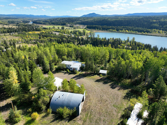
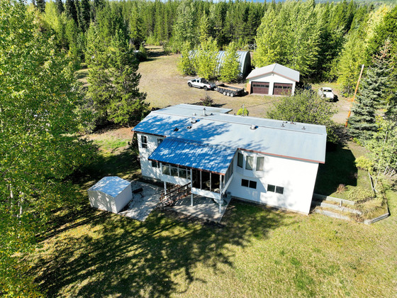
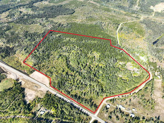
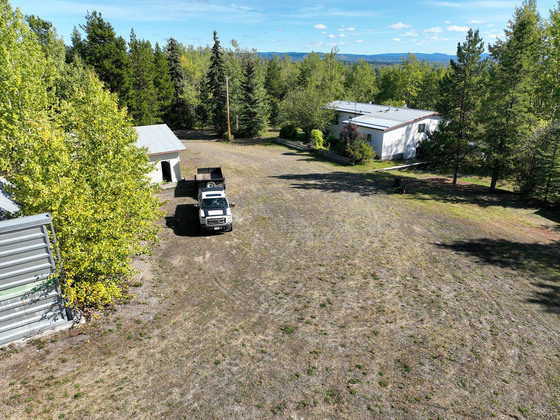
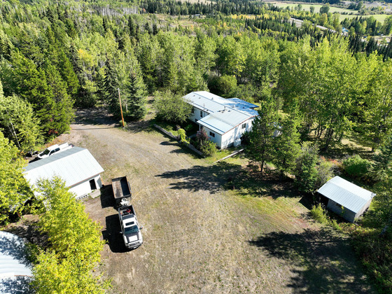
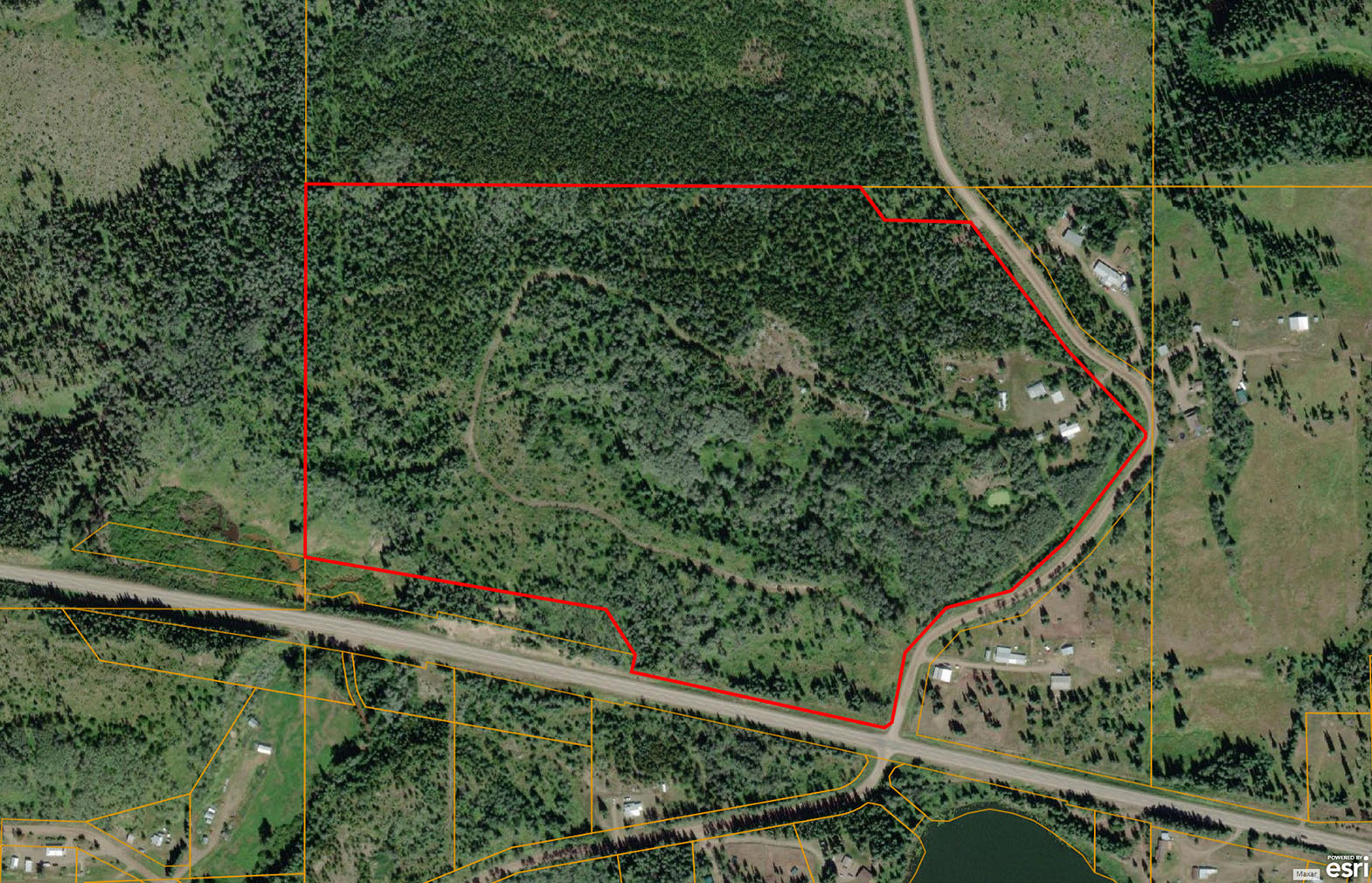
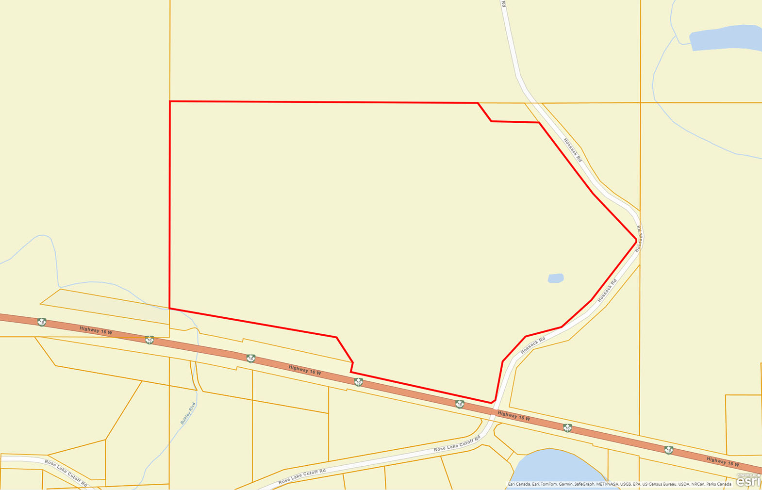
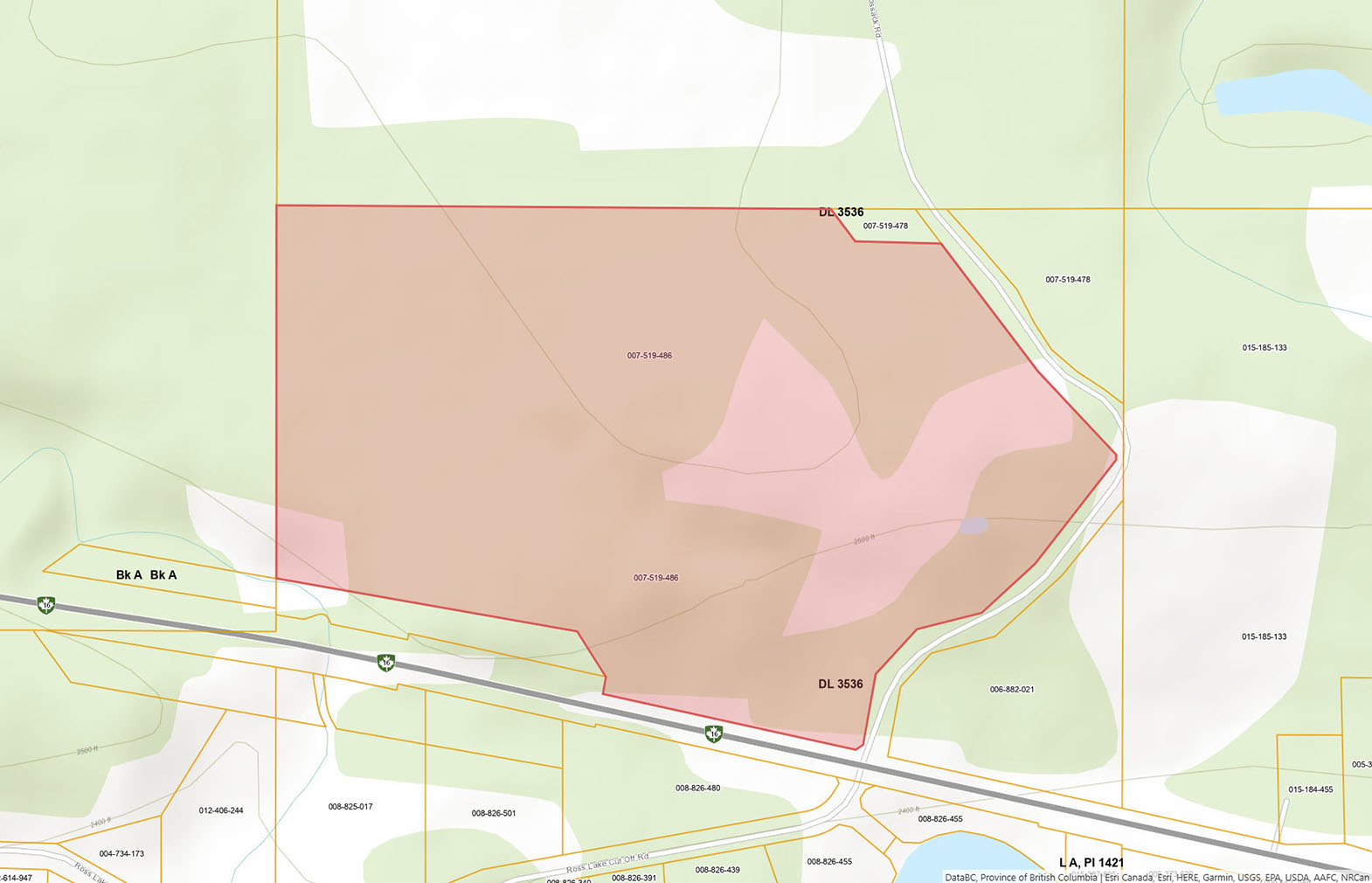
Privacy and peace await on this 73.28-acre property perched above Rose Lake, just minutes from Burns Lake. A well-kept two-level home with a sunroom, brand-new hot tub, large shop, and outbuildings sit among forested privacy and sunny clearings.

 +55 photos


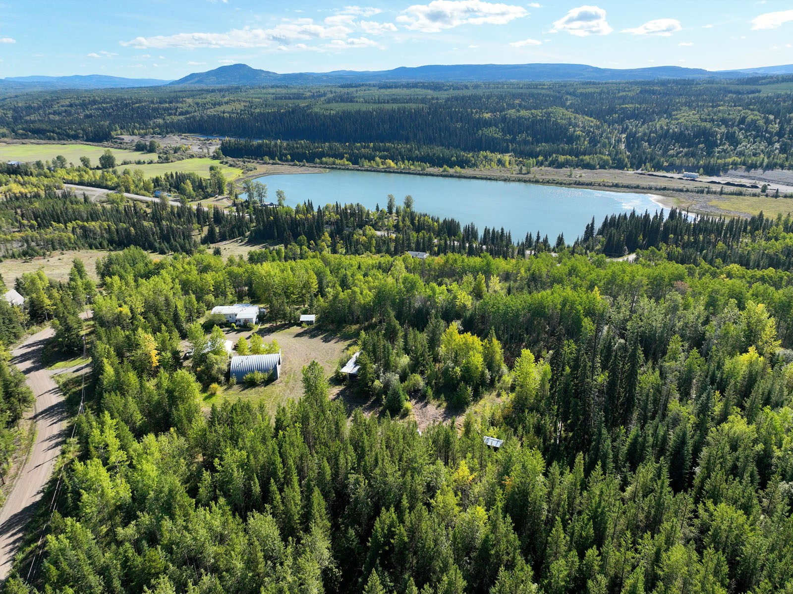


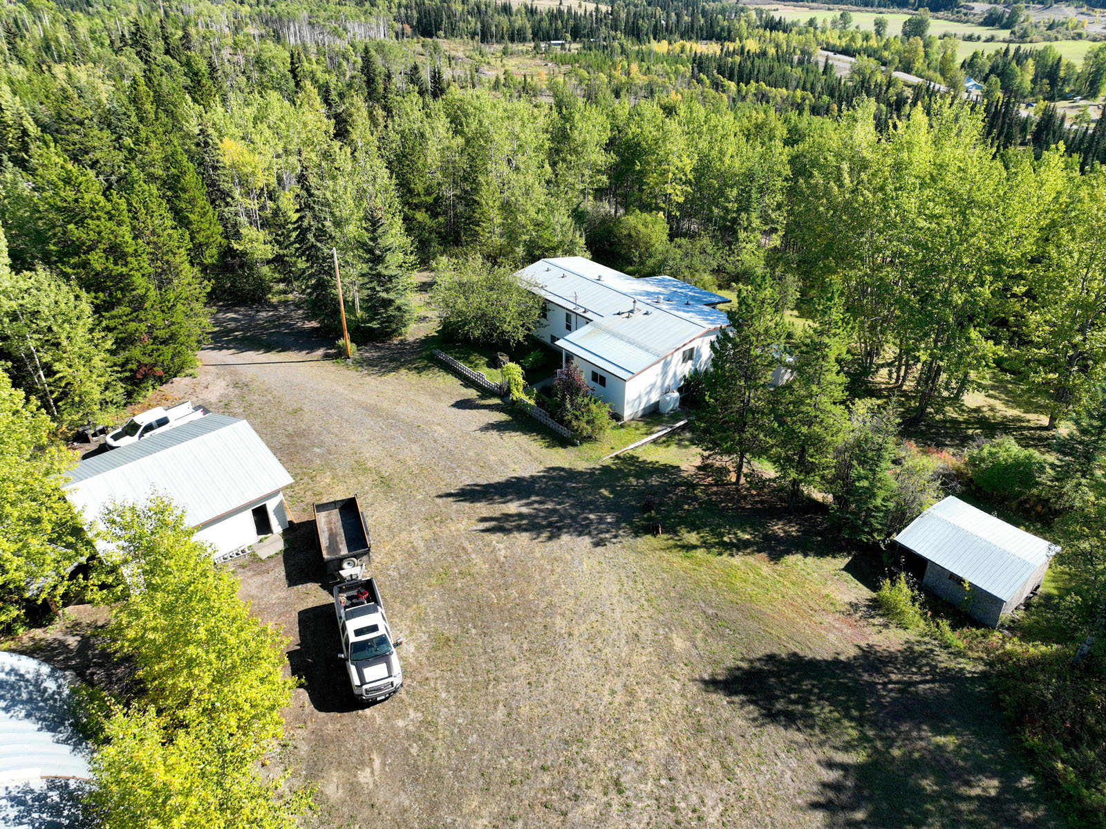
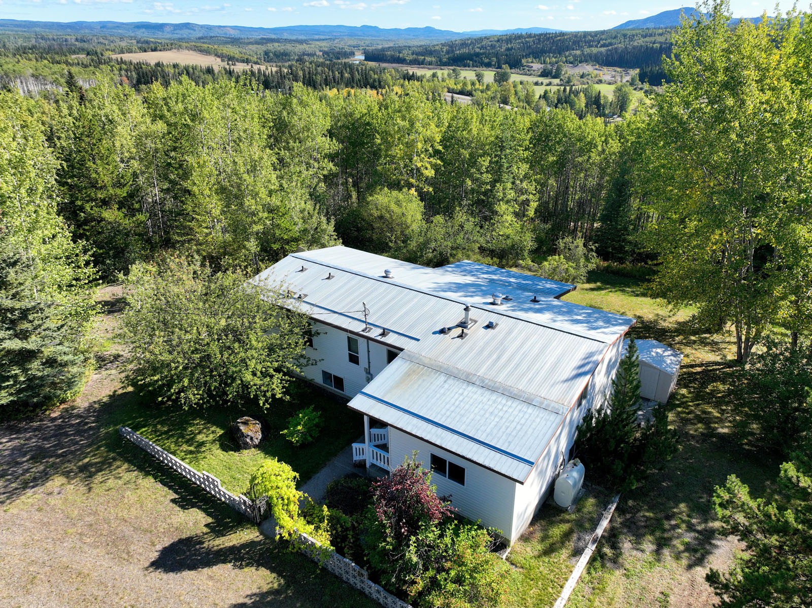
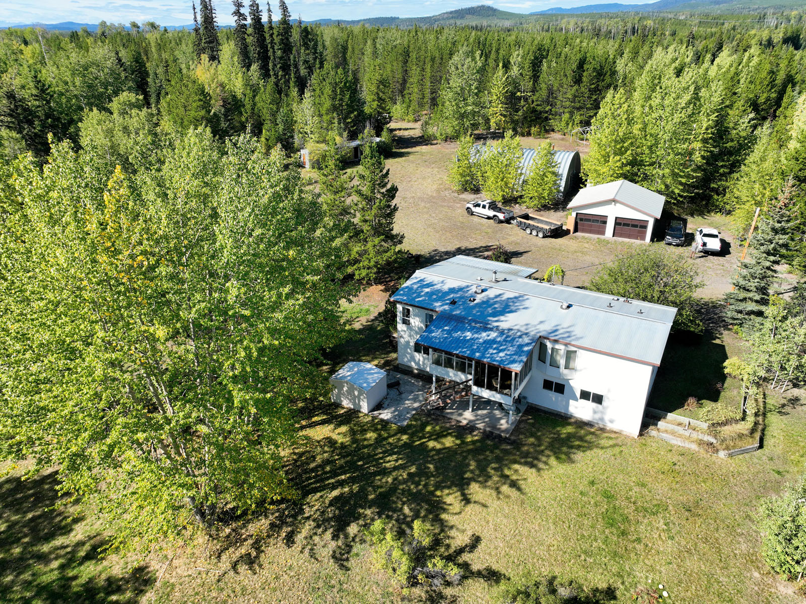
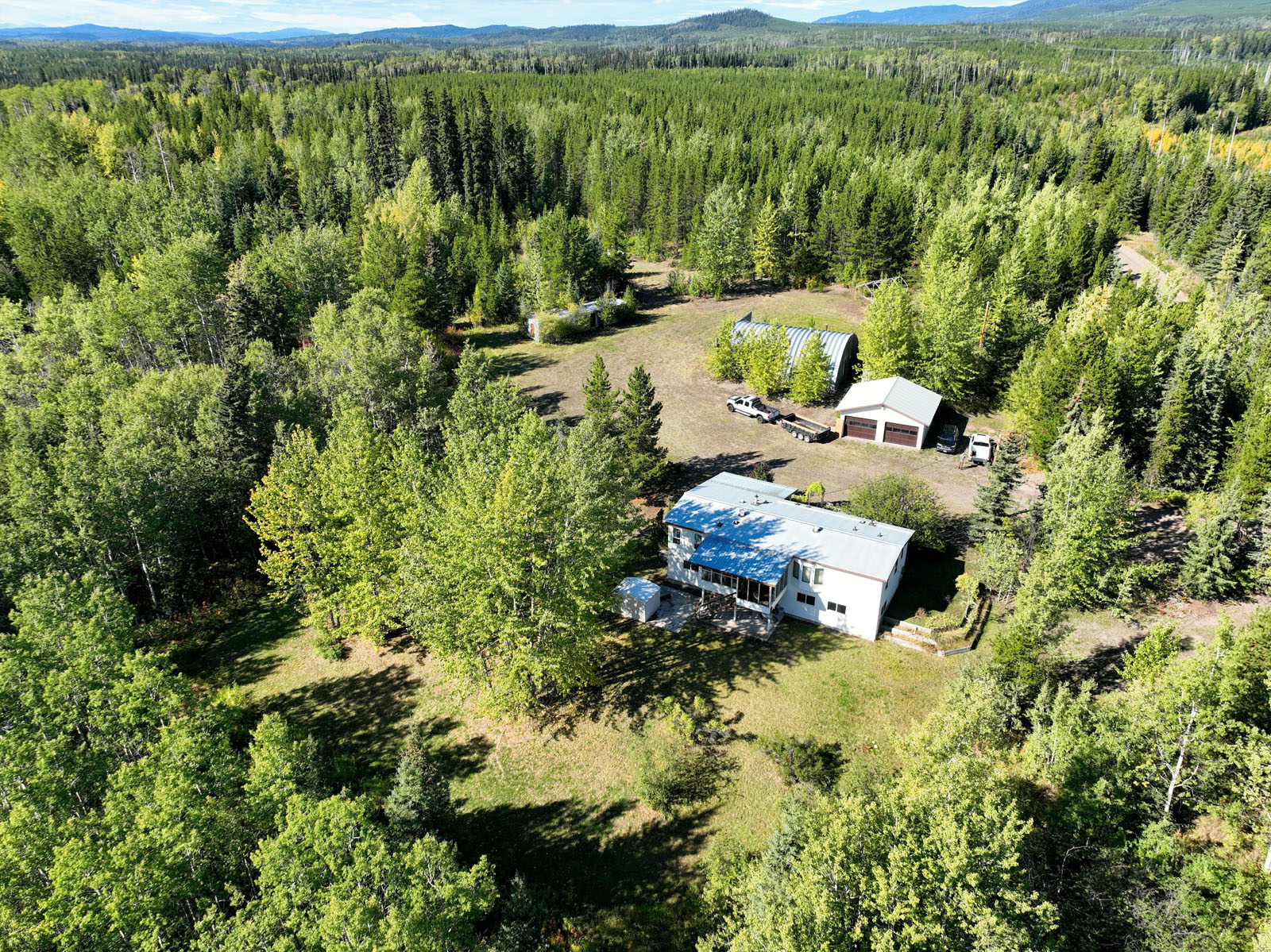
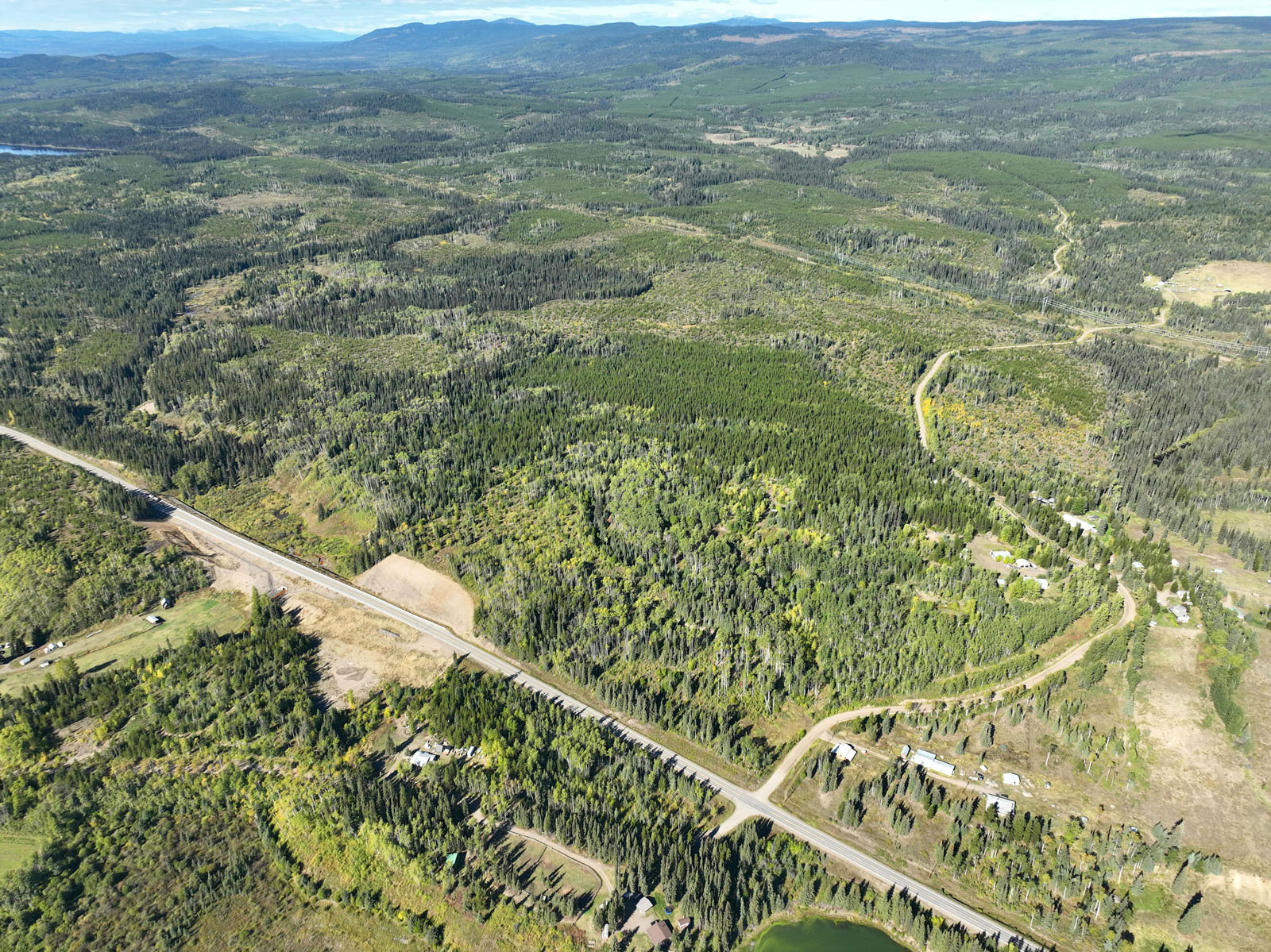
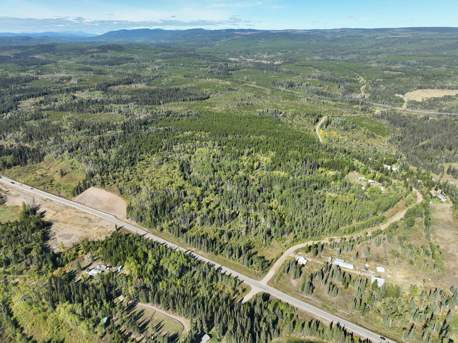
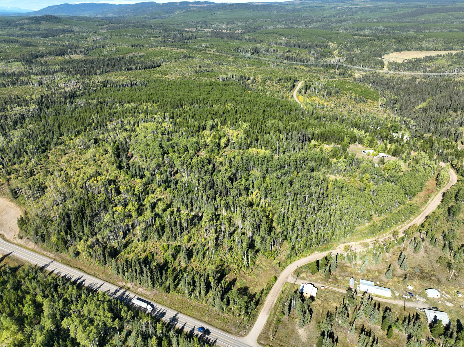

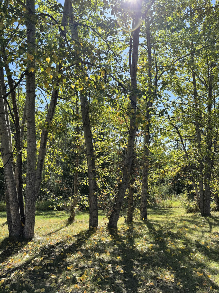
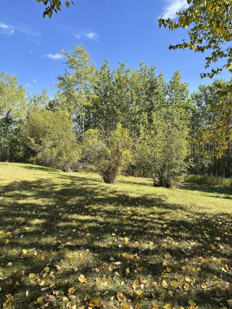
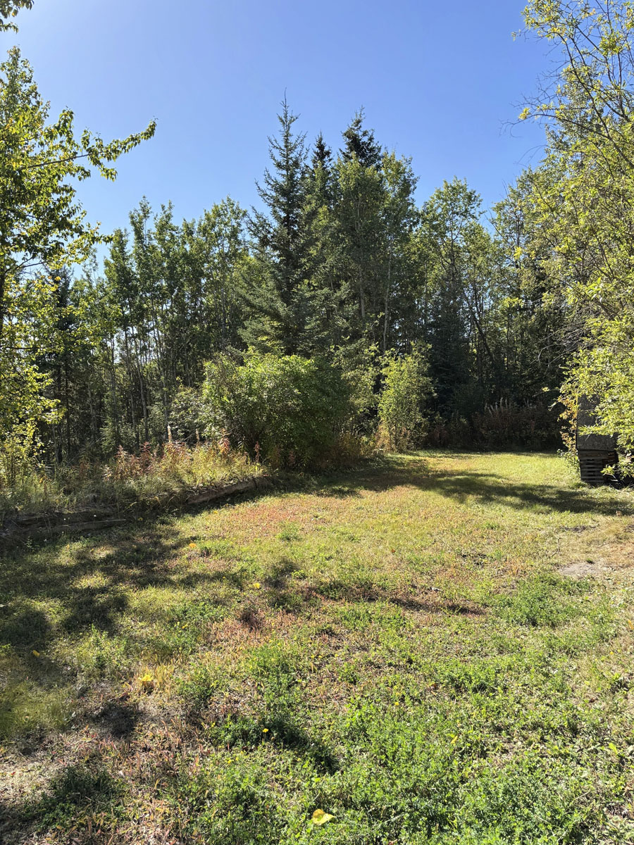
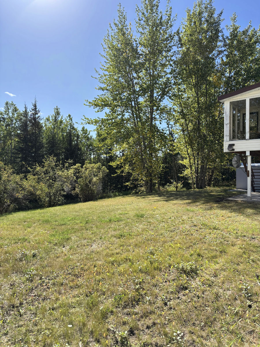
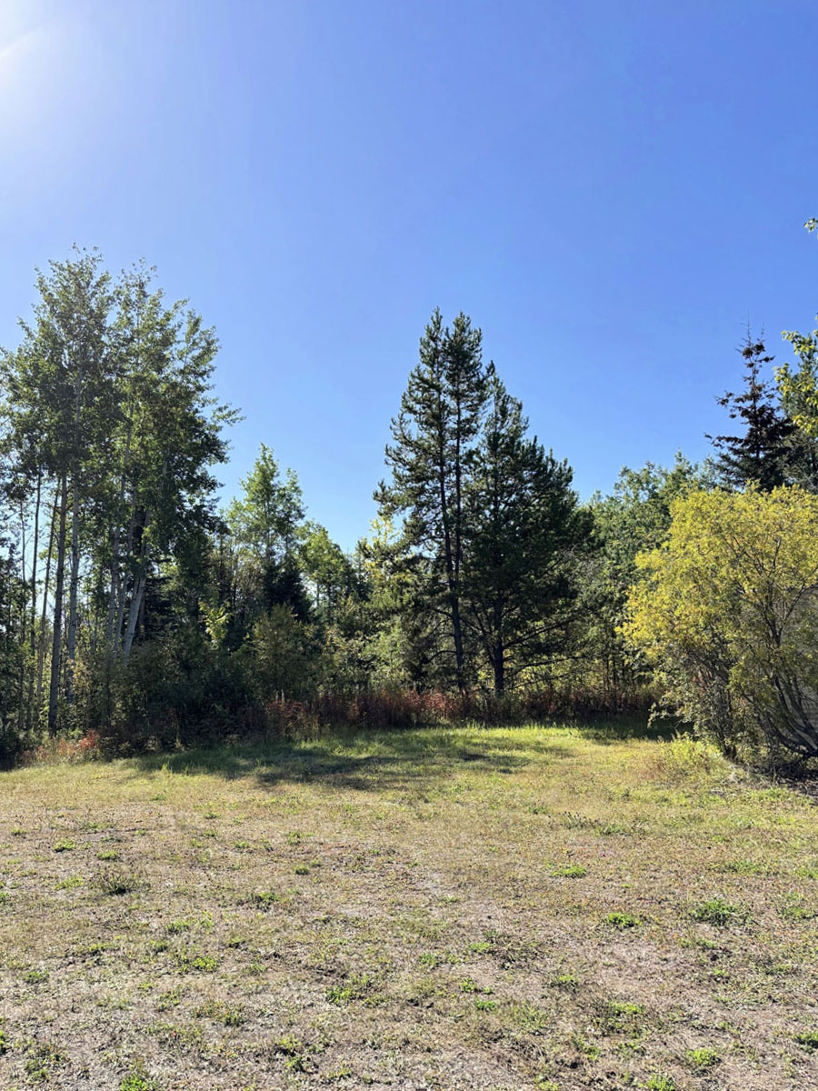
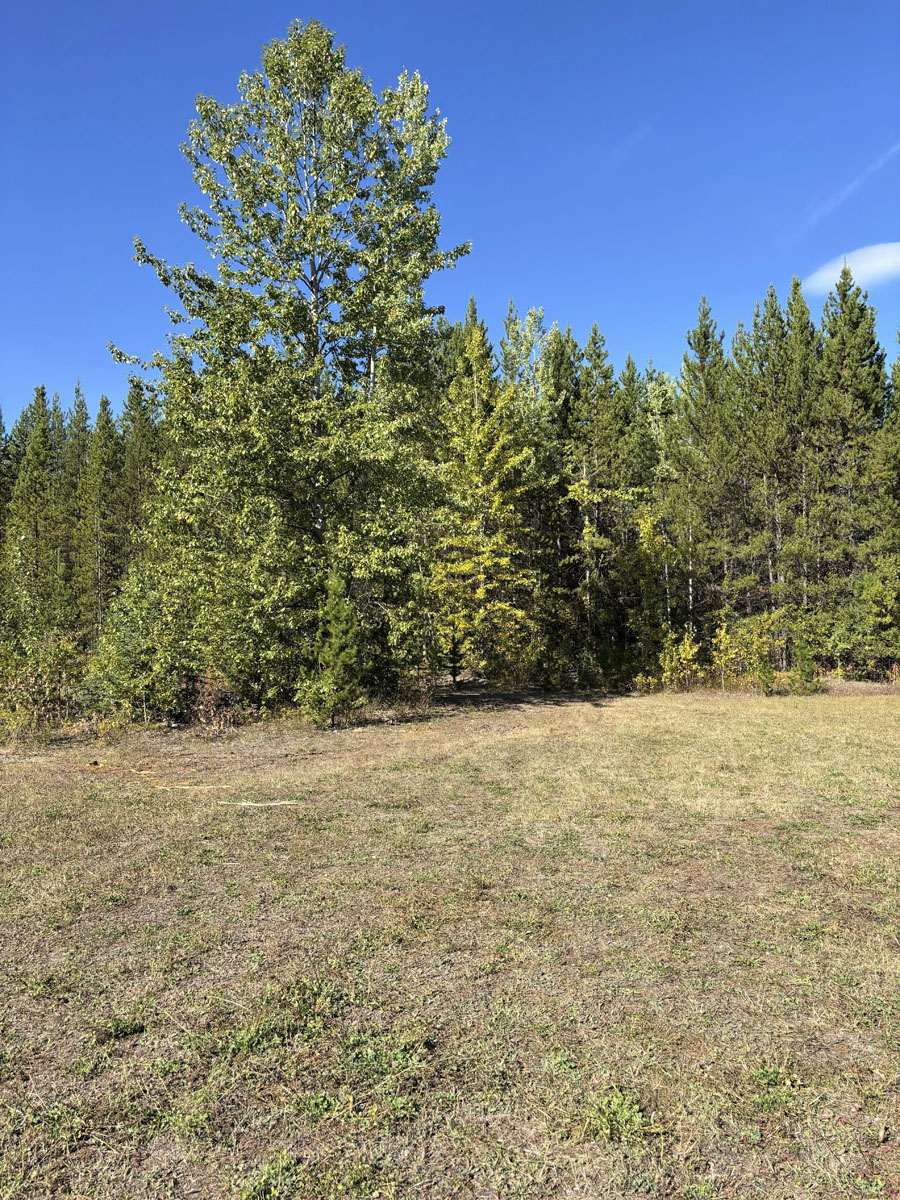
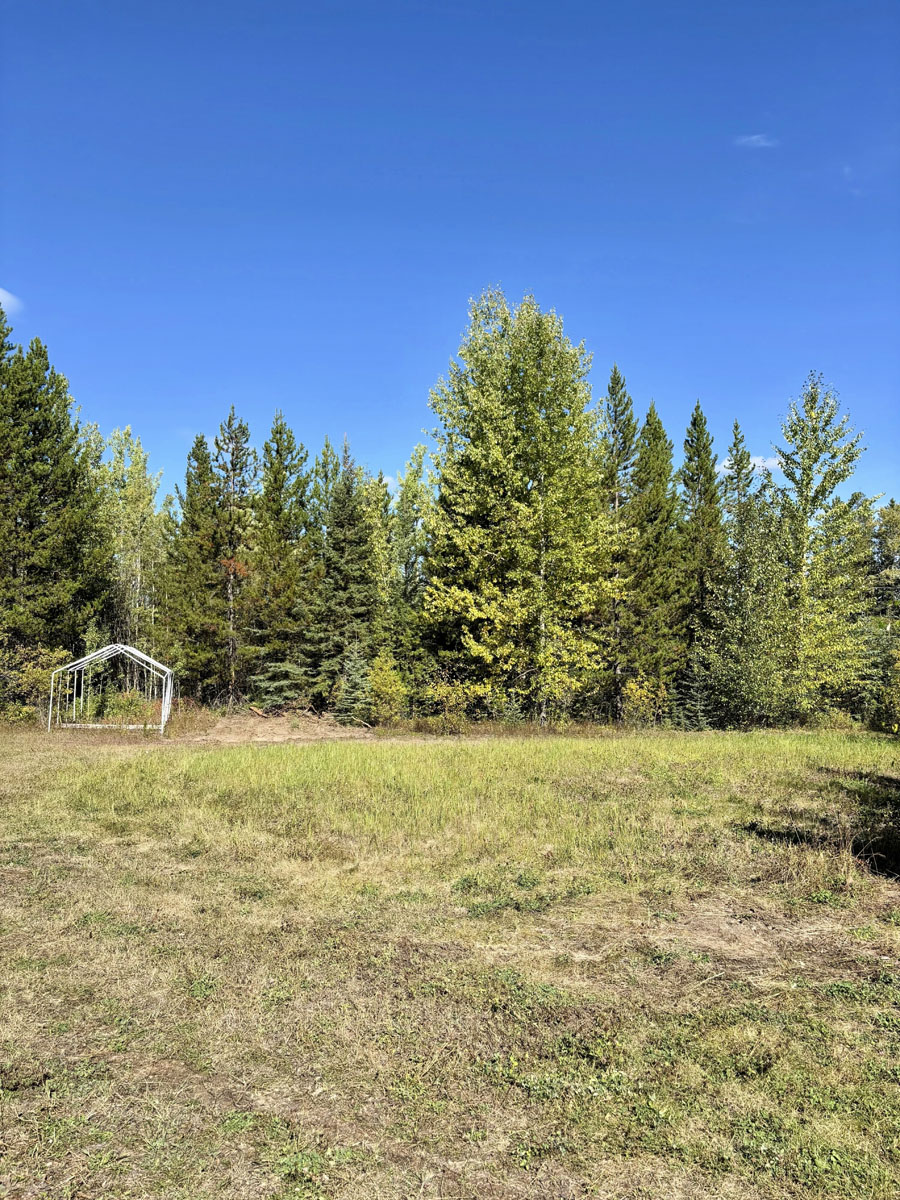
Privacy and peace in nature on this expansive 73.28-acre property perched above Rose Lake, just a few minutes from the village of Burns Lake. Here, you’ll find the perfect balance of seclusion and convenience—forested privacy, rolling northern BC terrain, and sunlight-filled clearings, all while remaining close to town amenities, schools, and services.
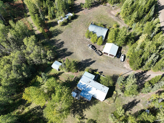
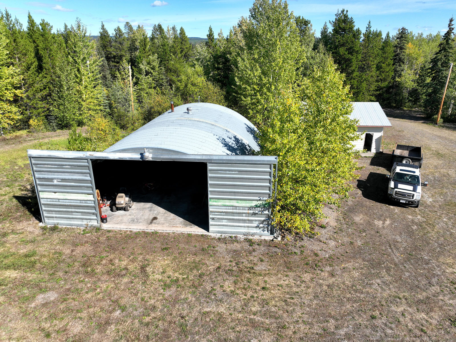
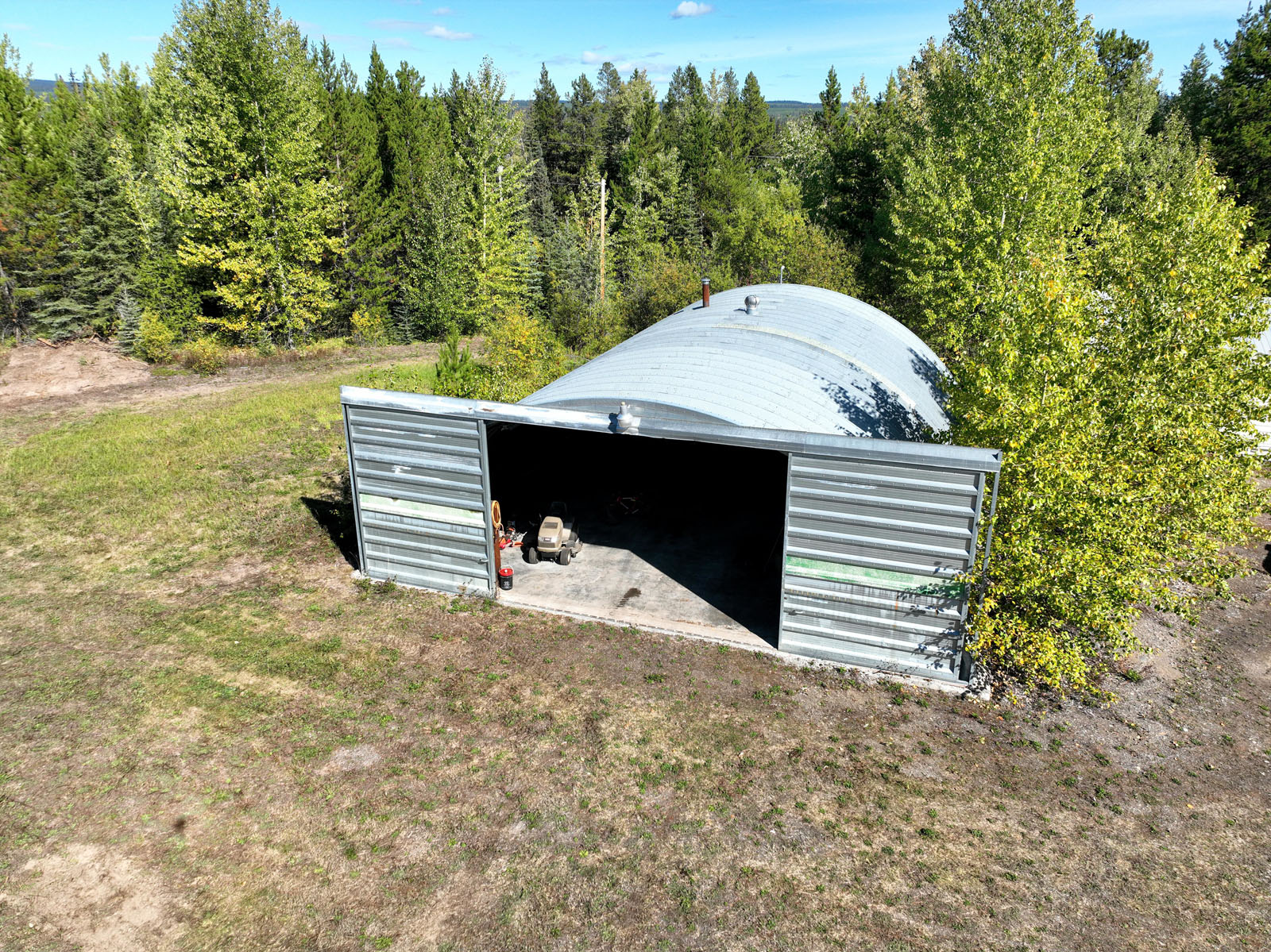
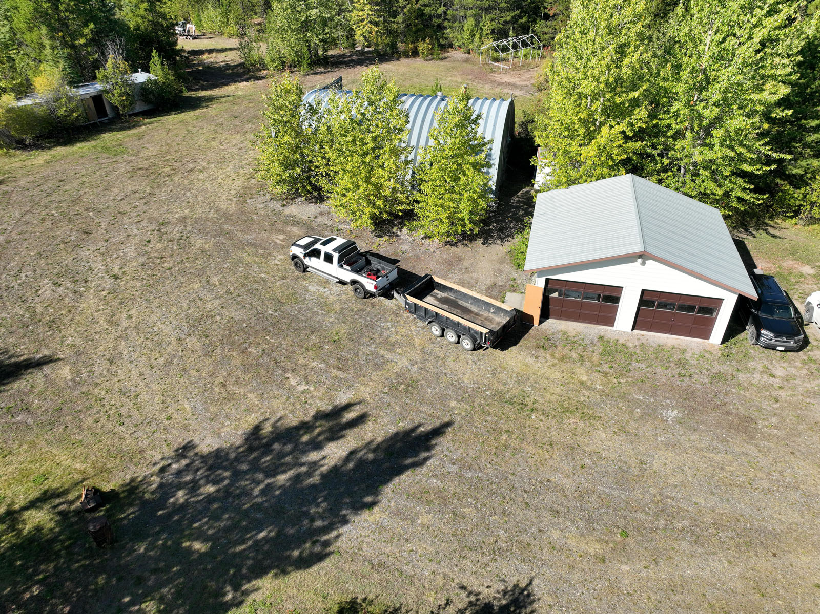
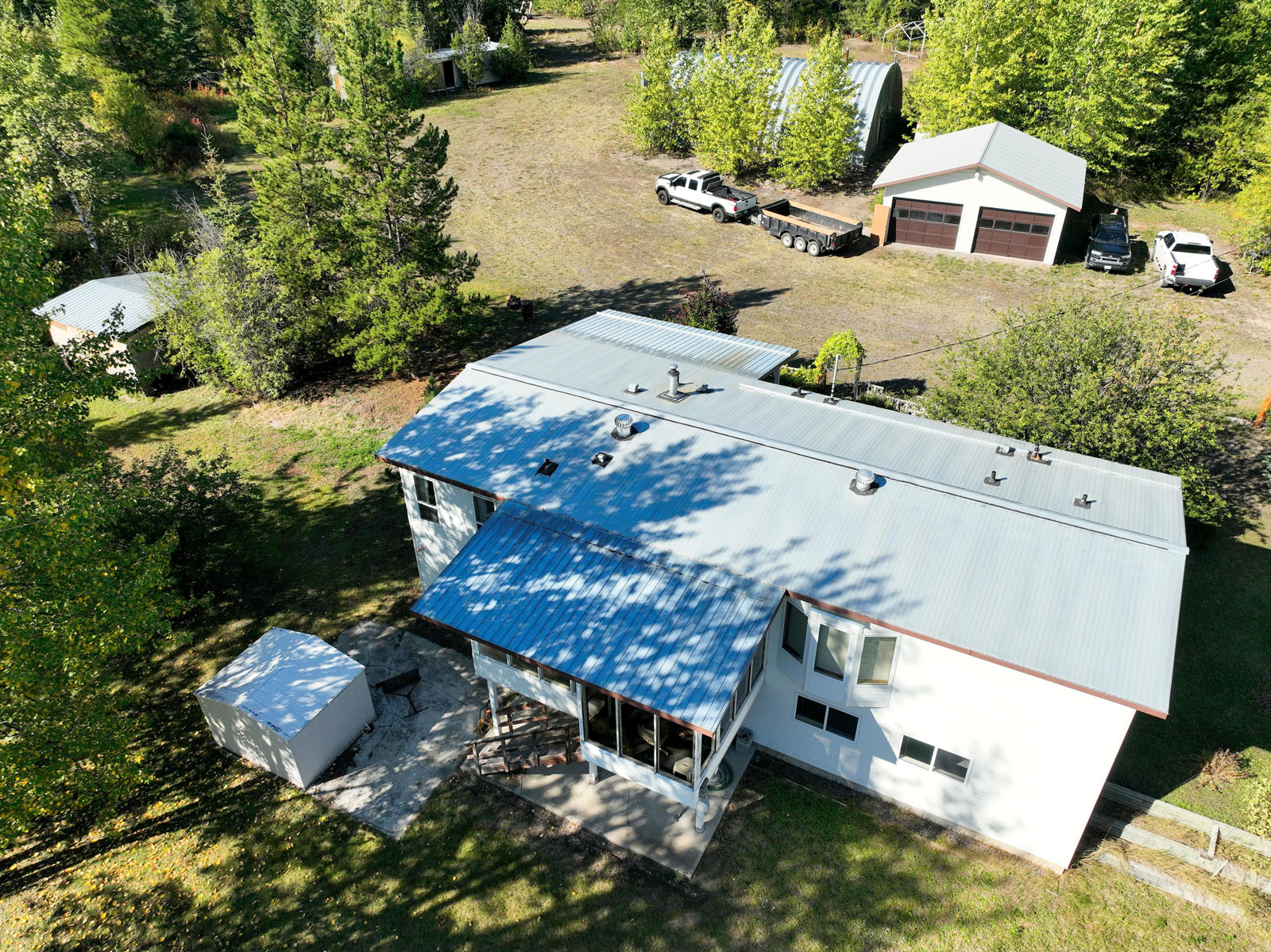
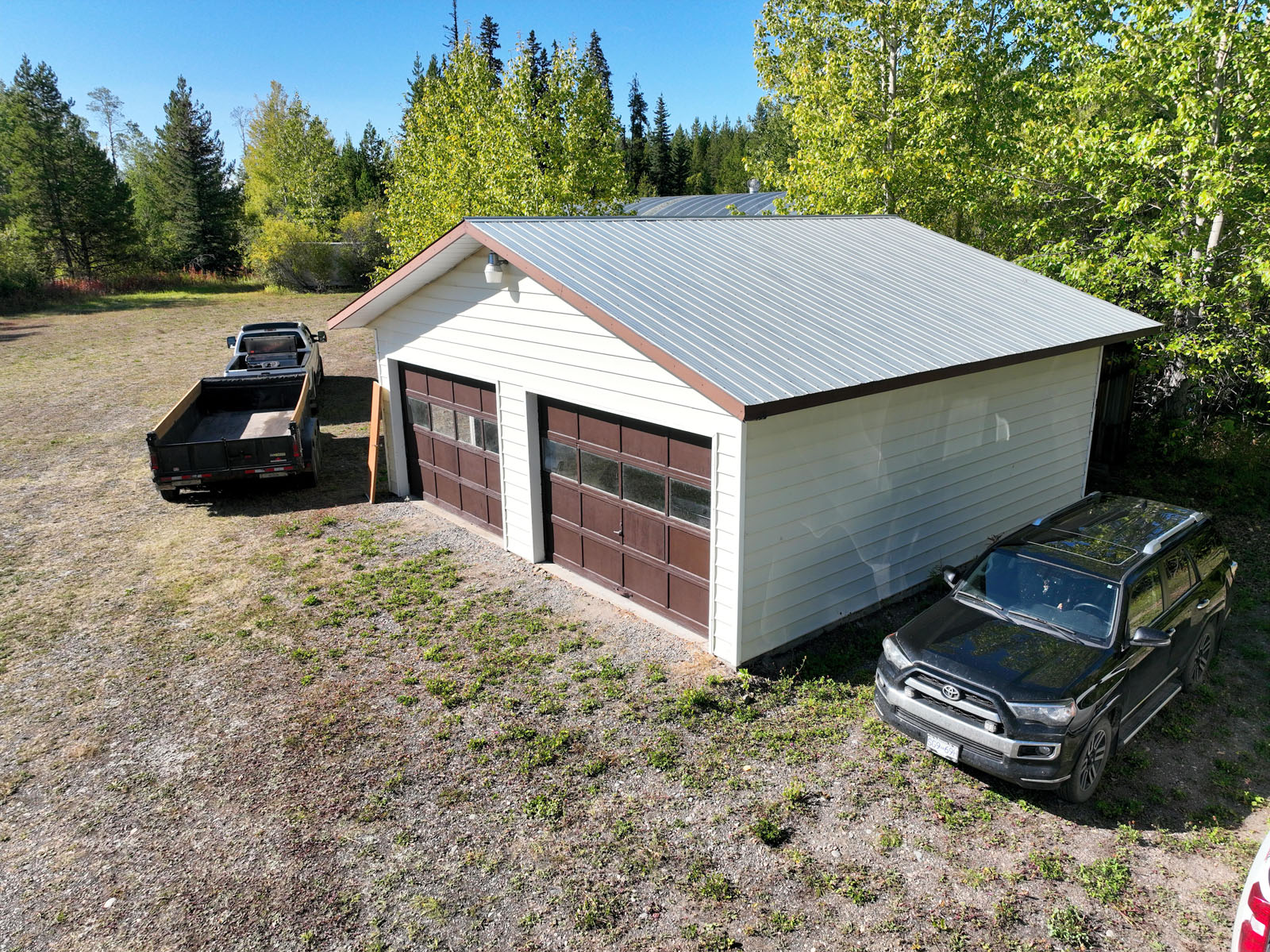
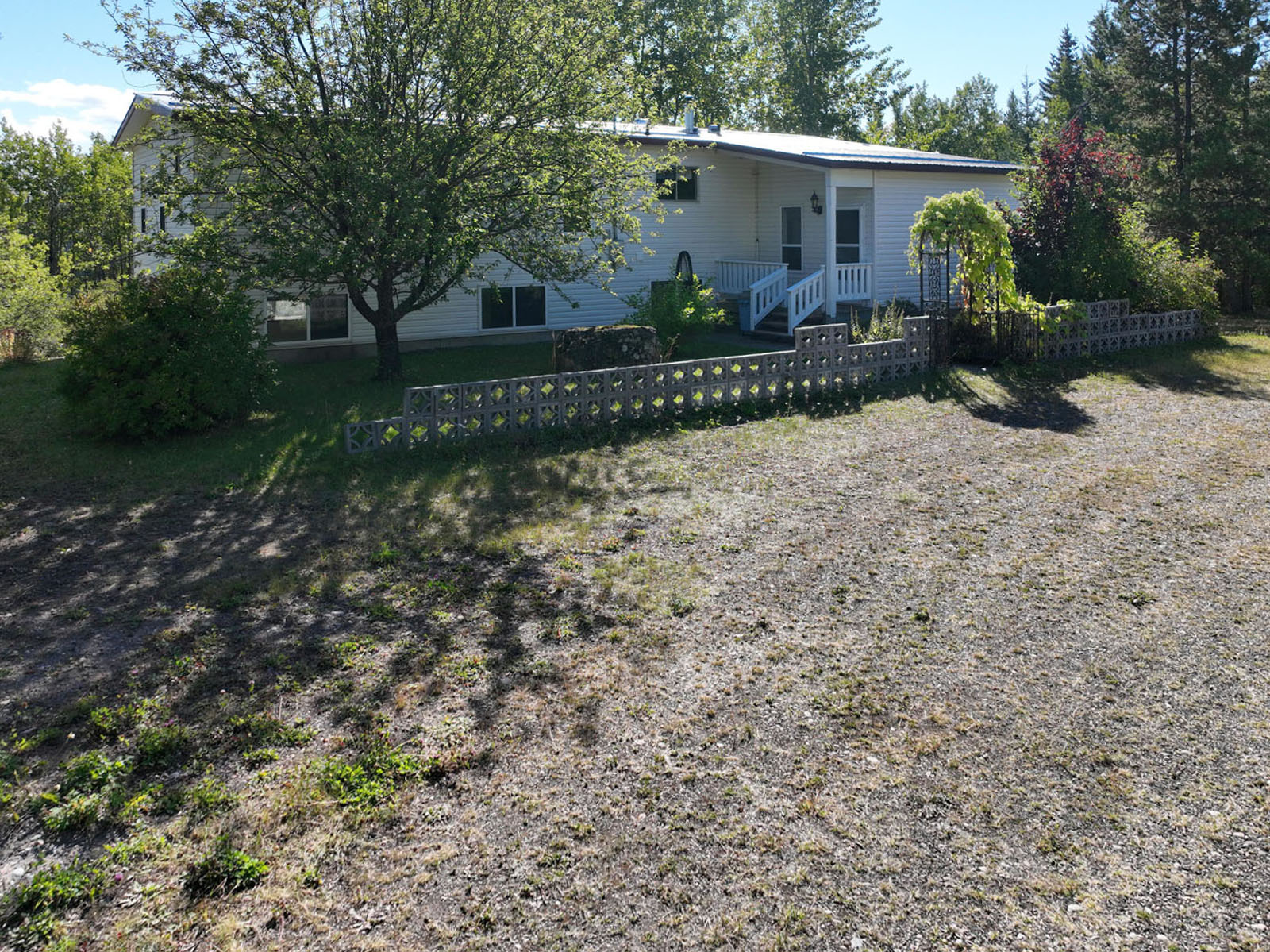
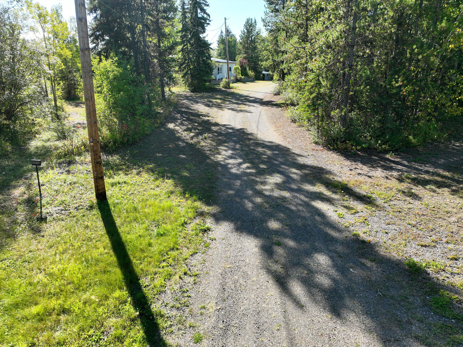
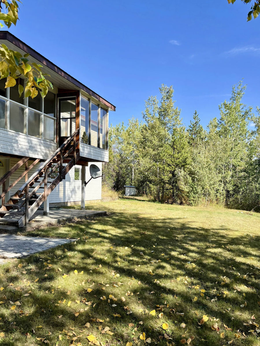
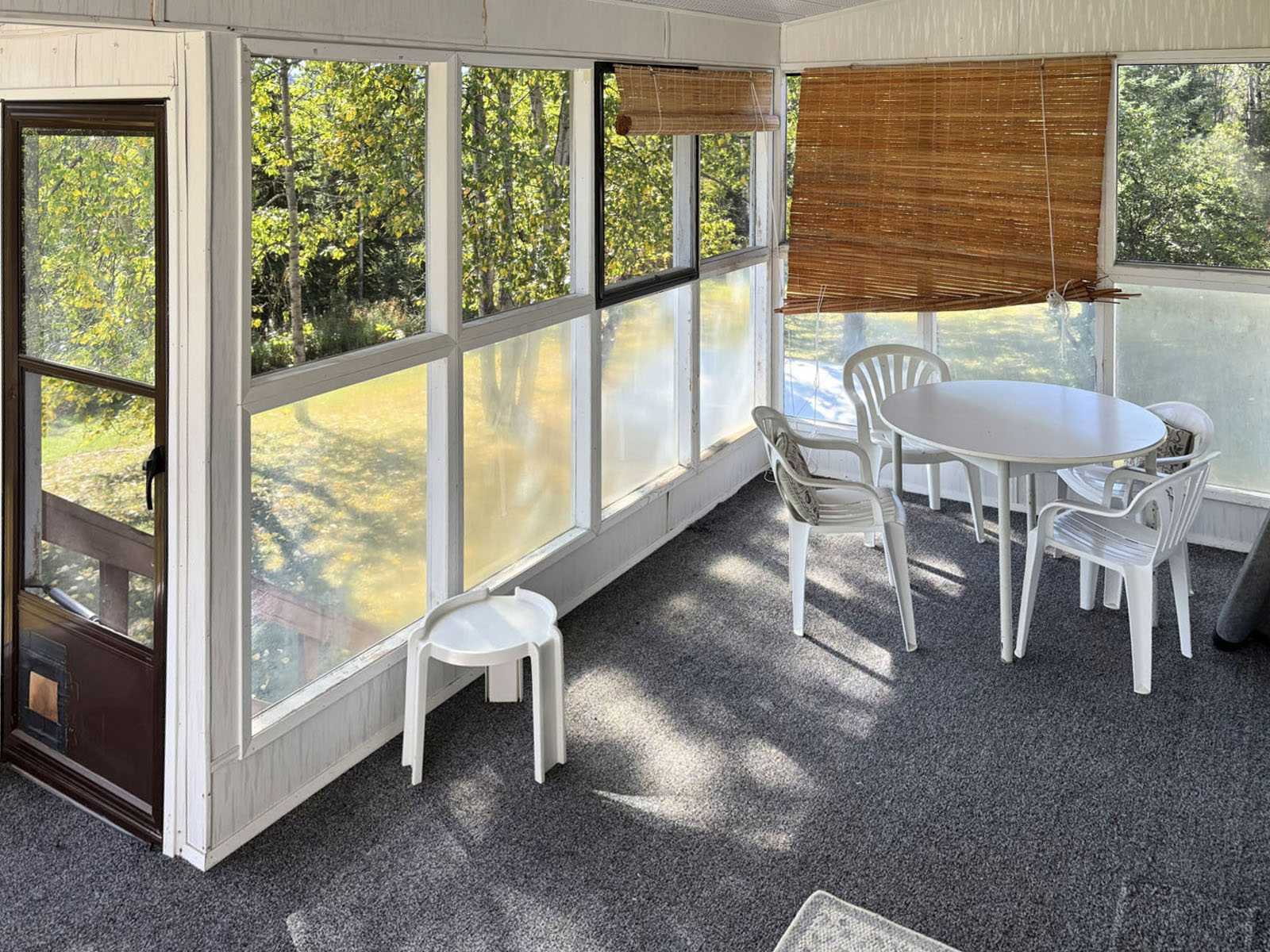
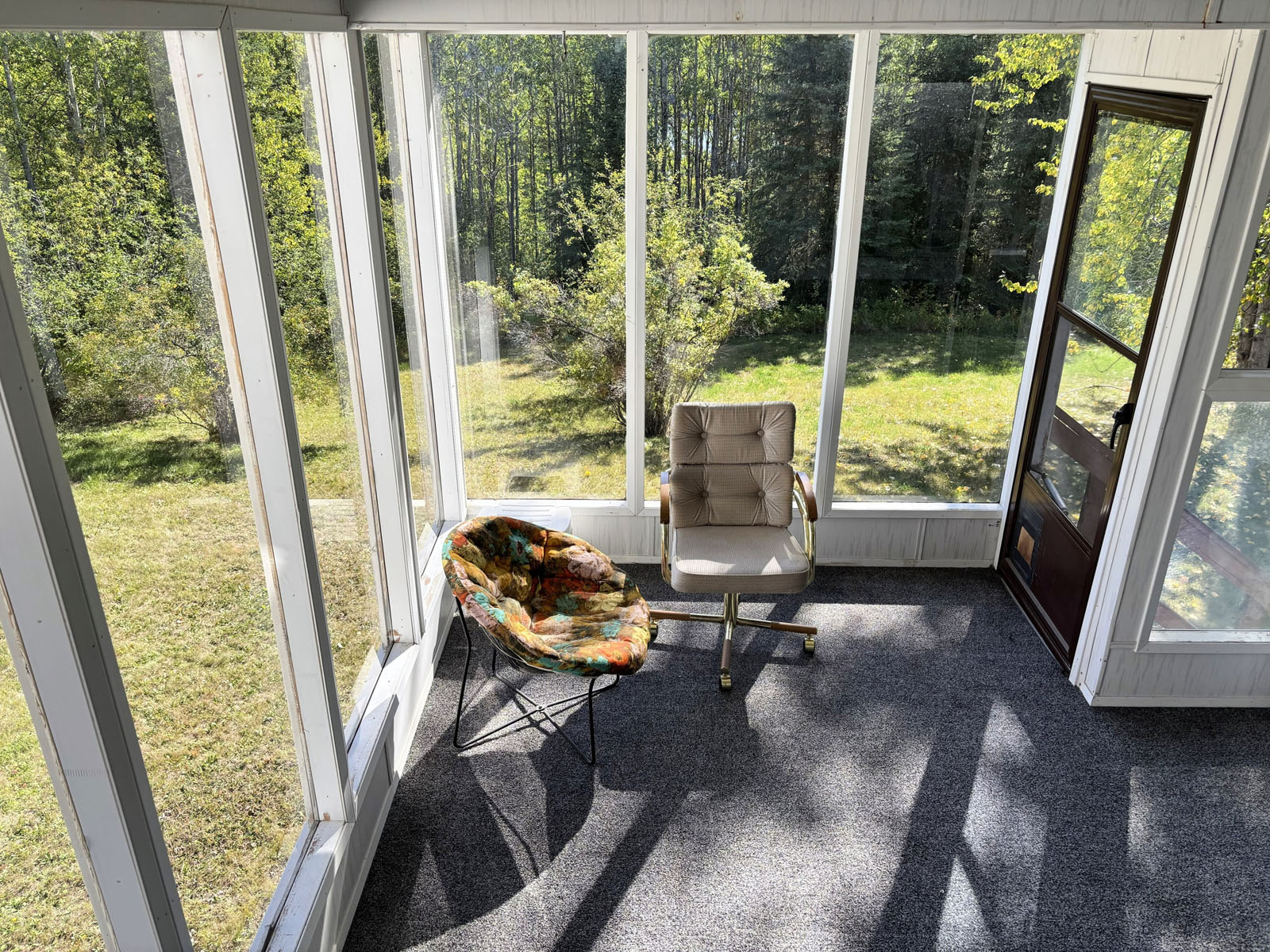
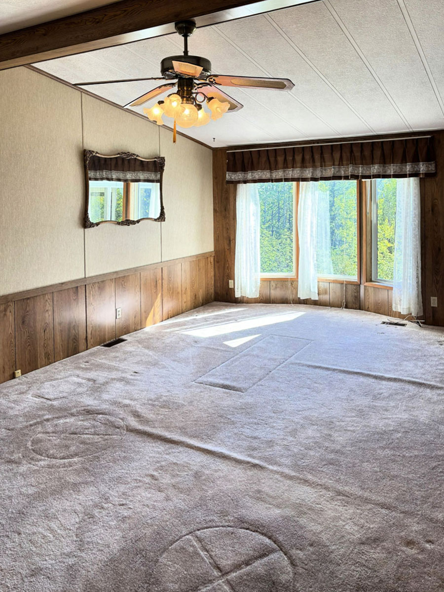
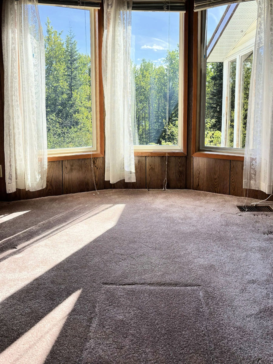
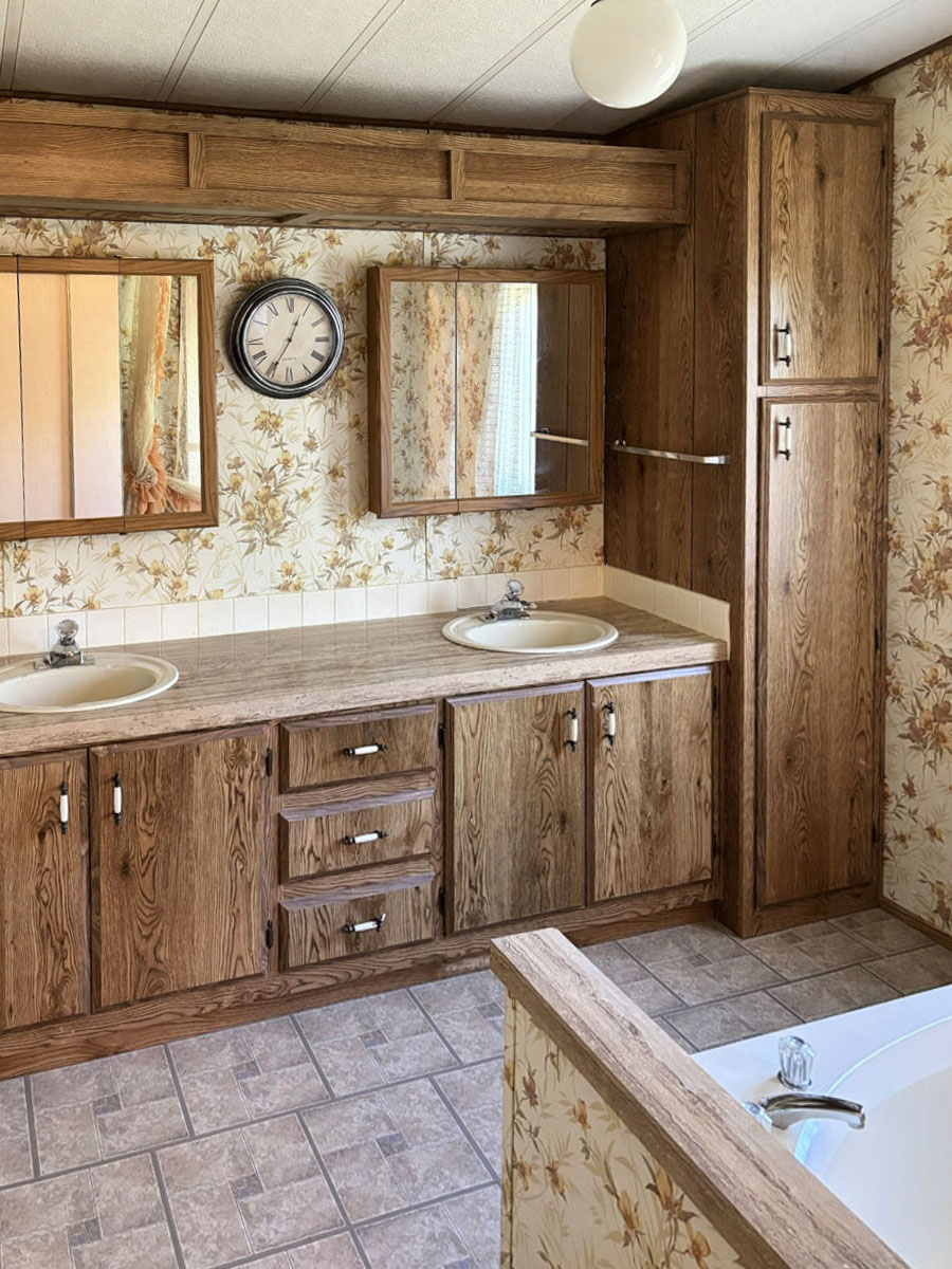
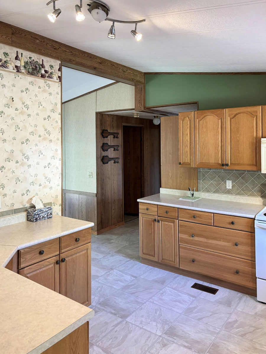
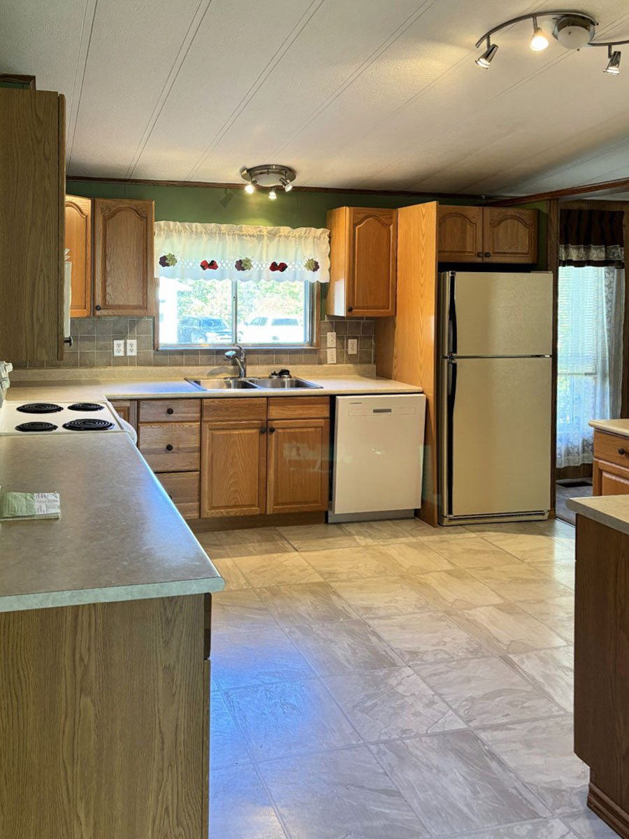
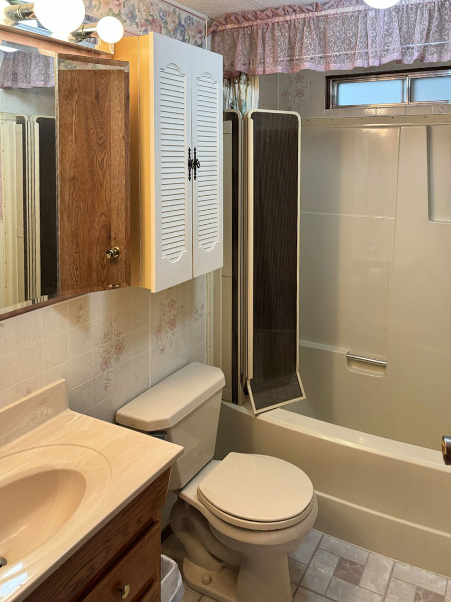
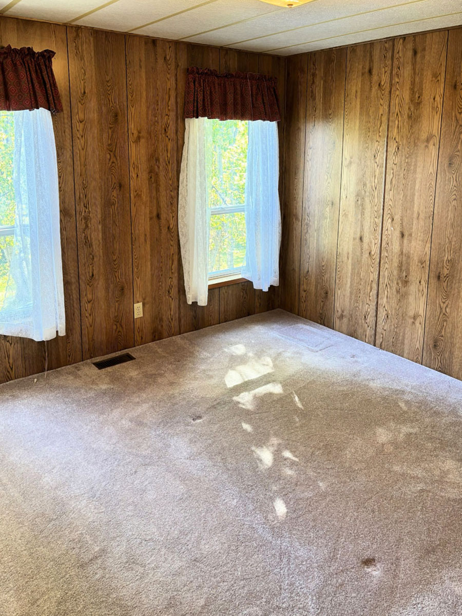
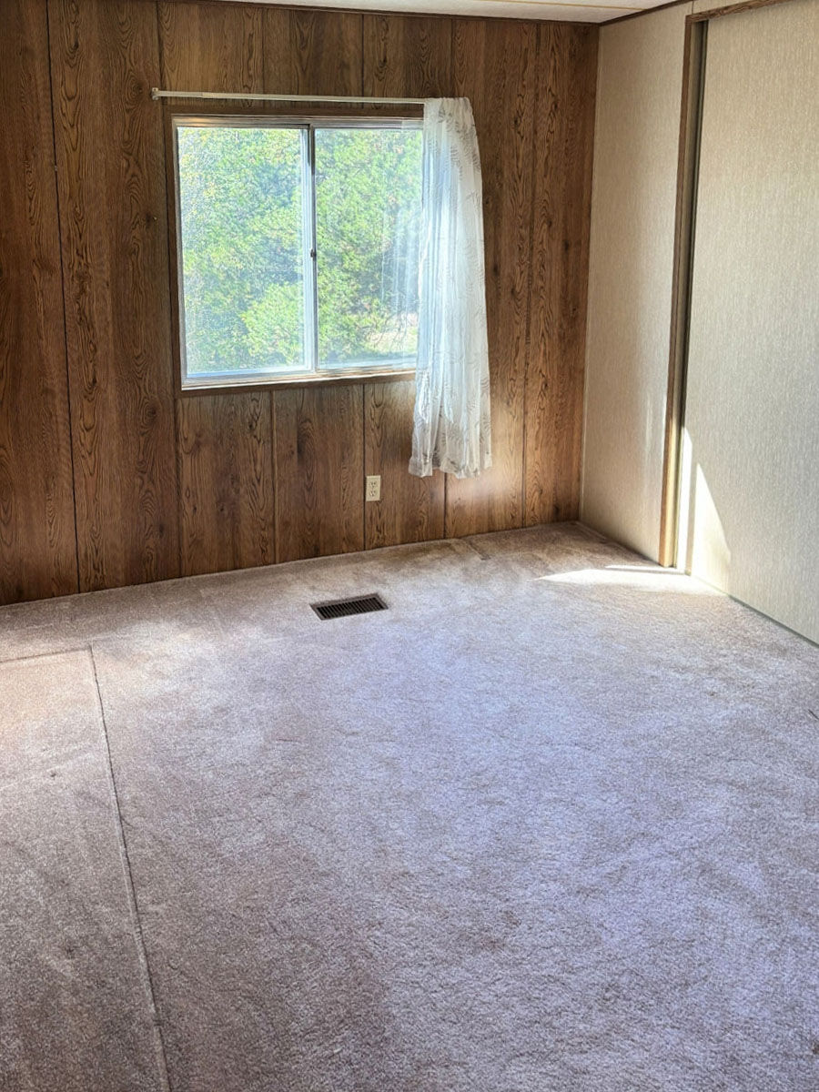
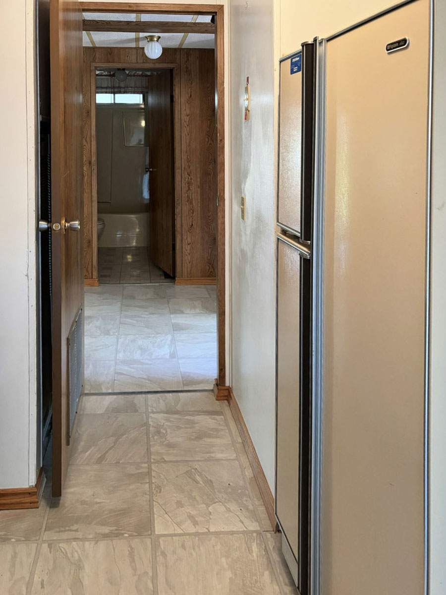
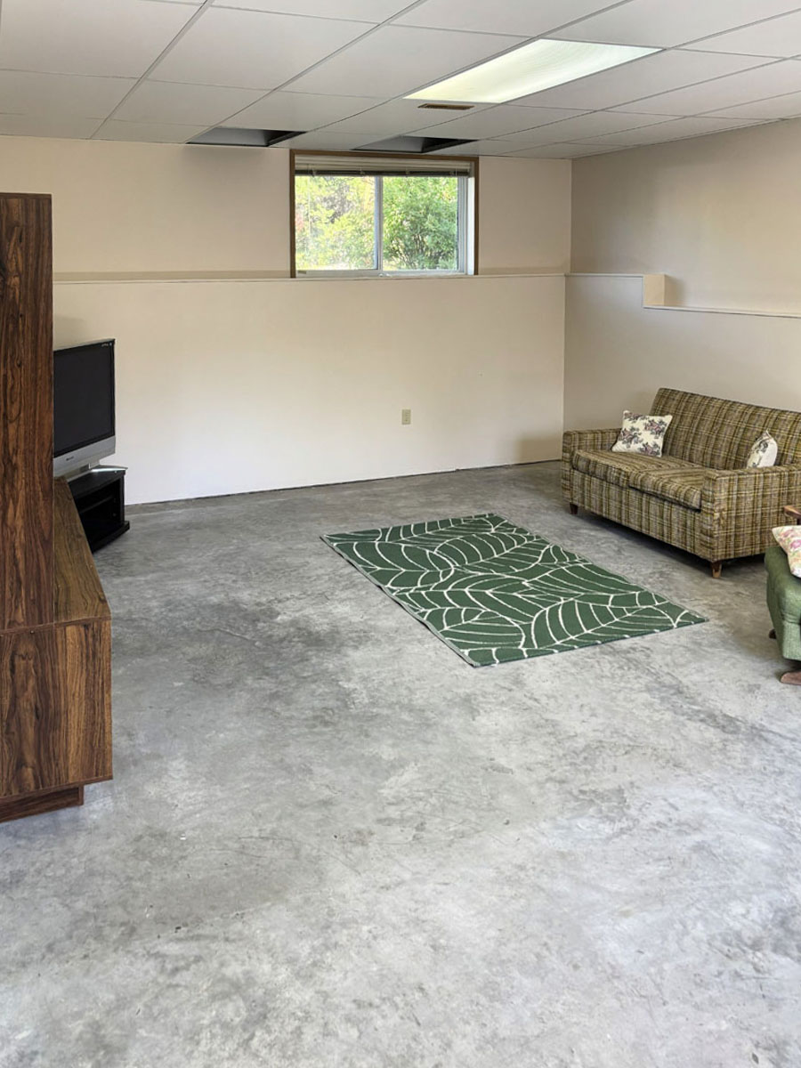
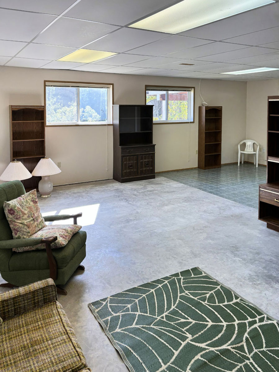
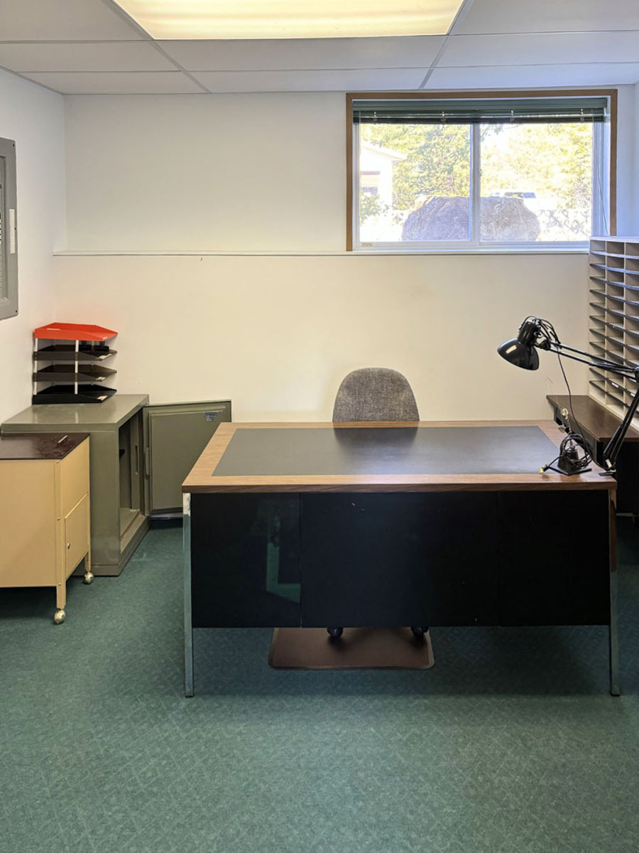
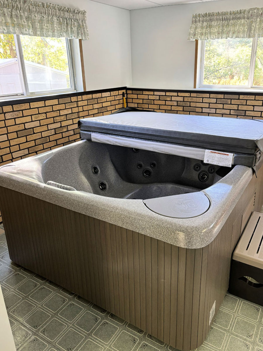
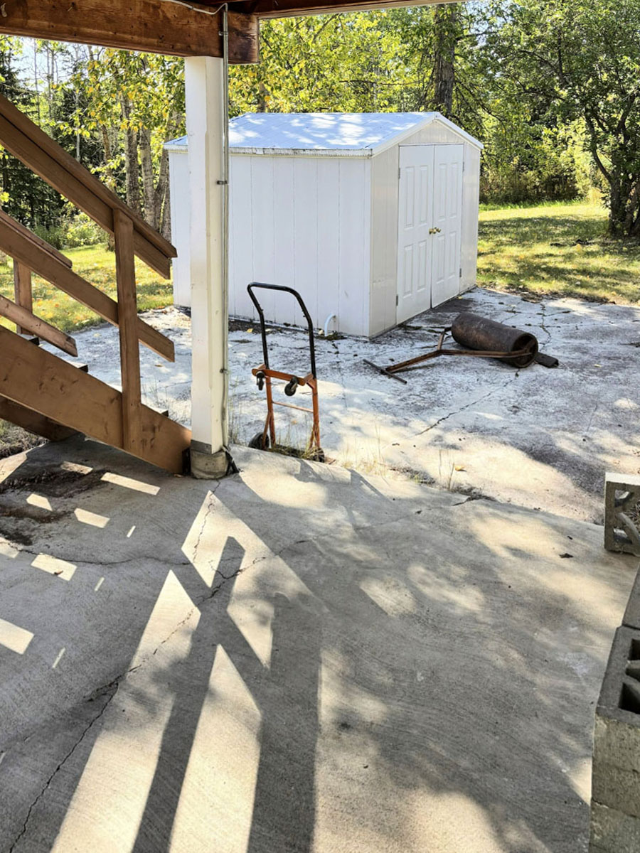
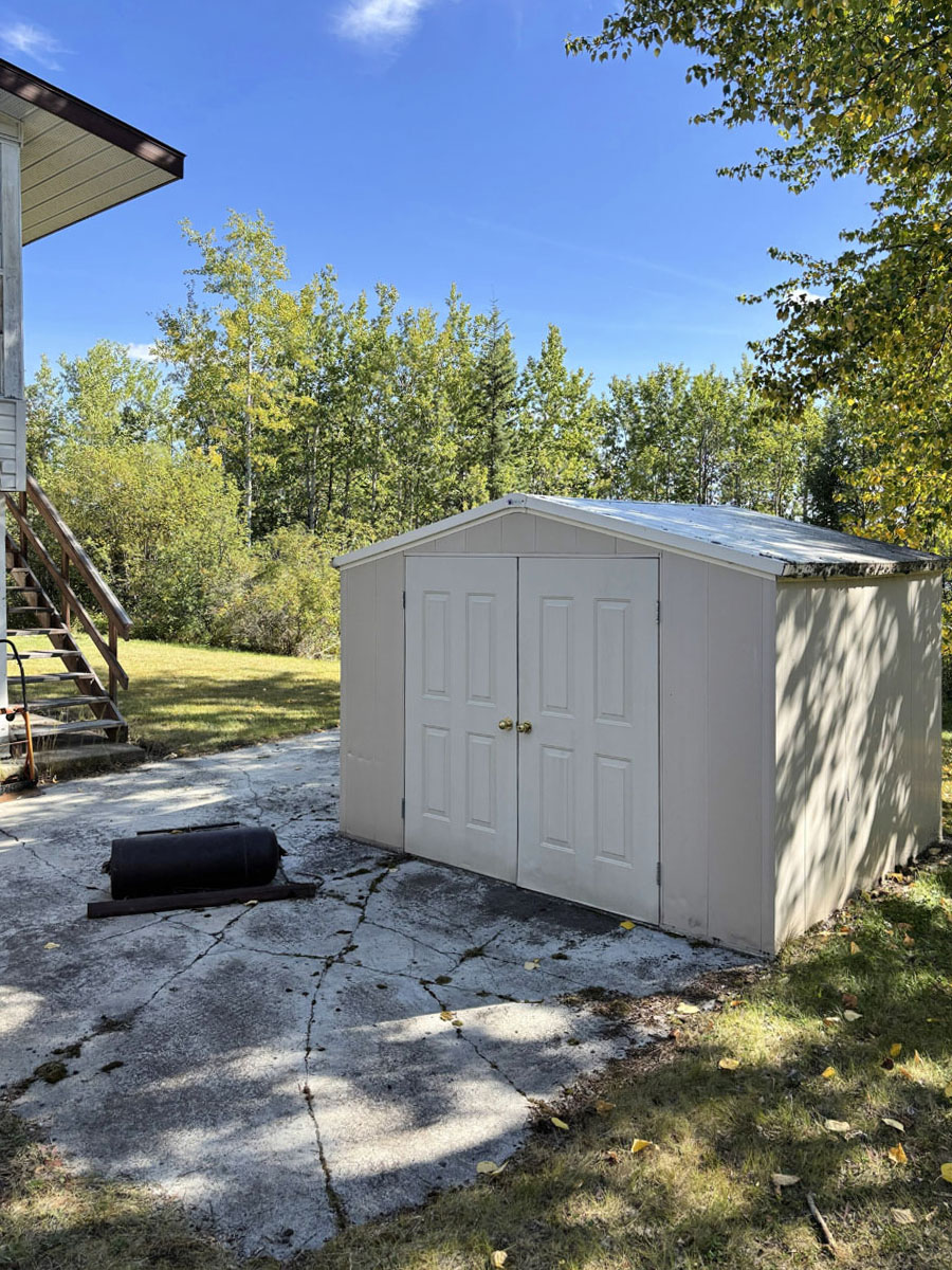
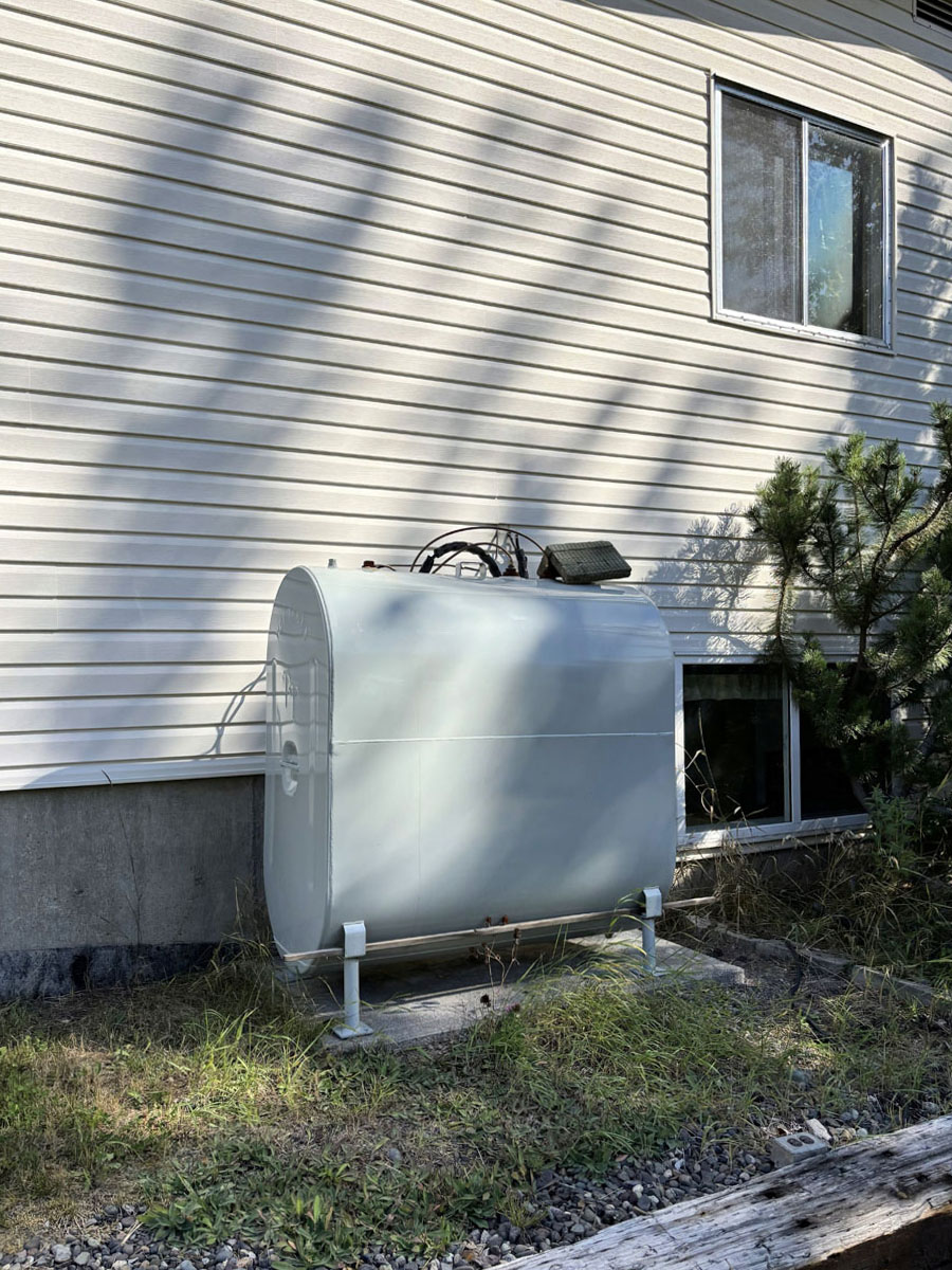
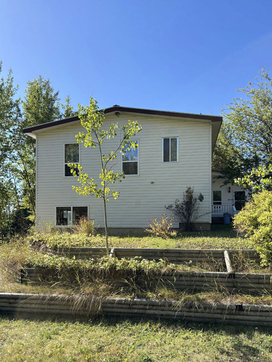
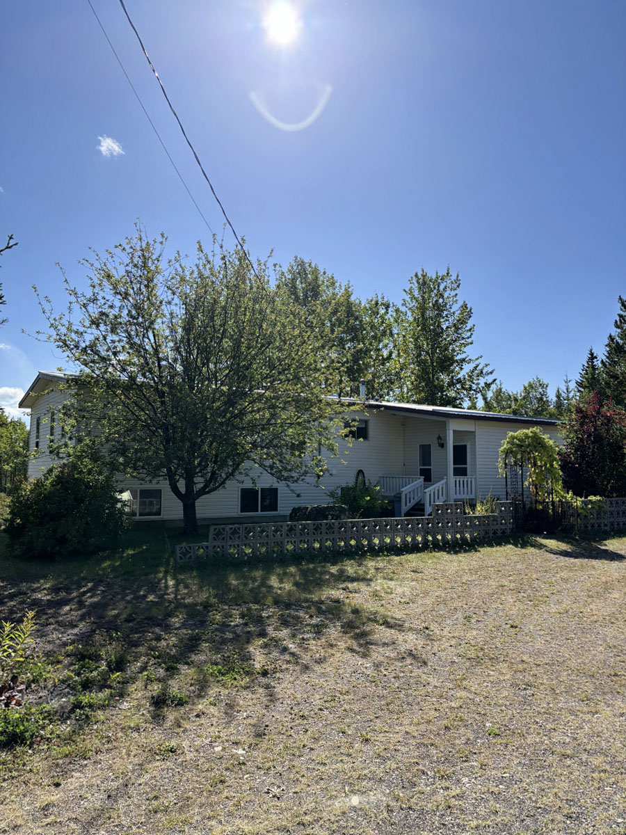
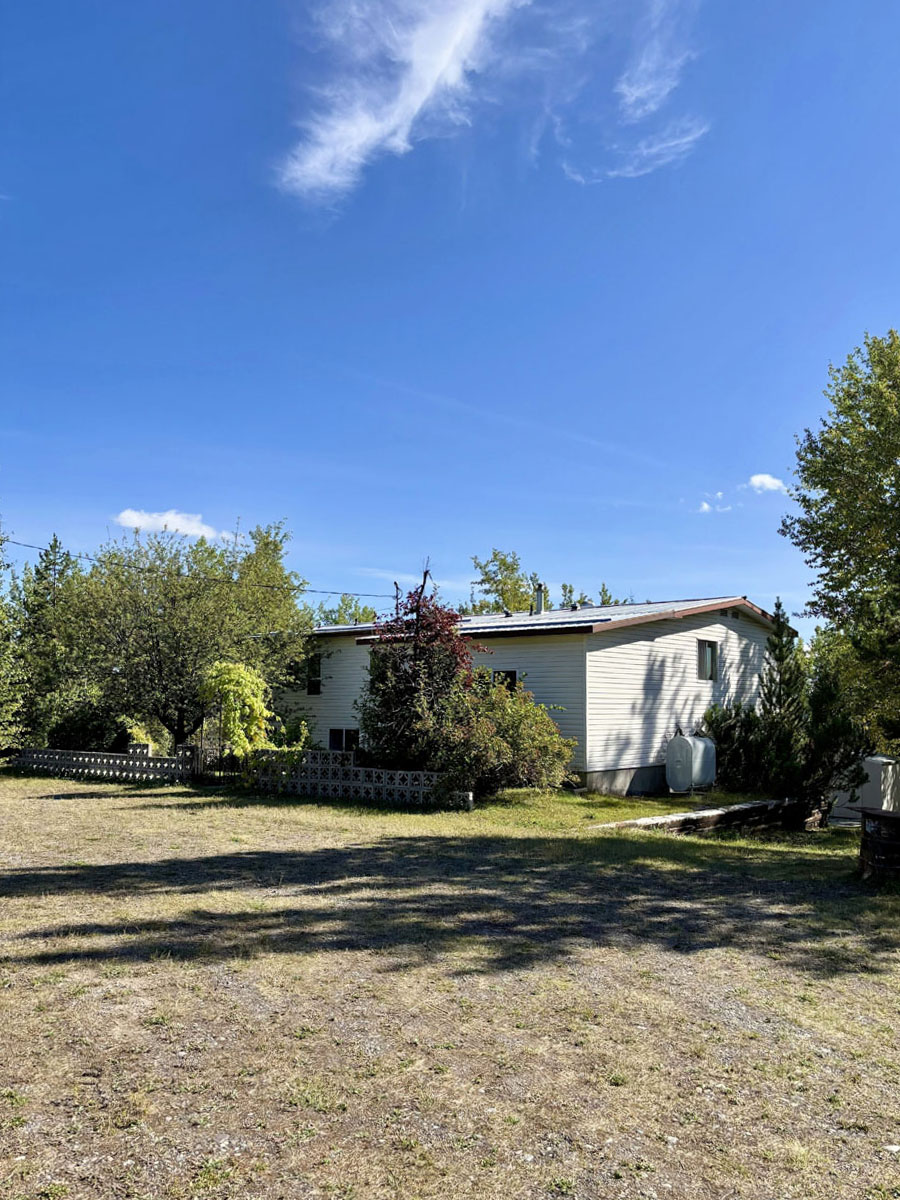
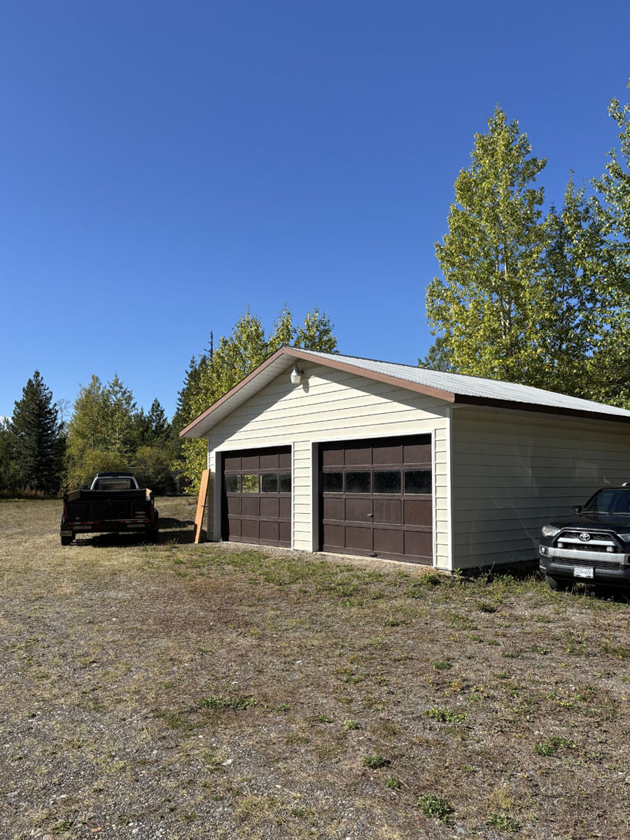
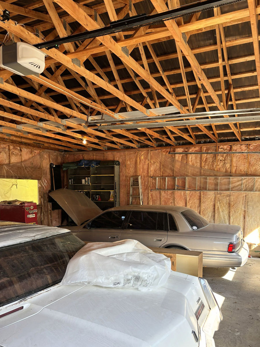
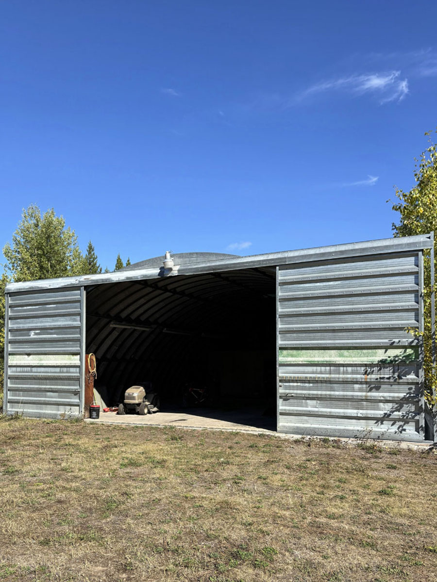
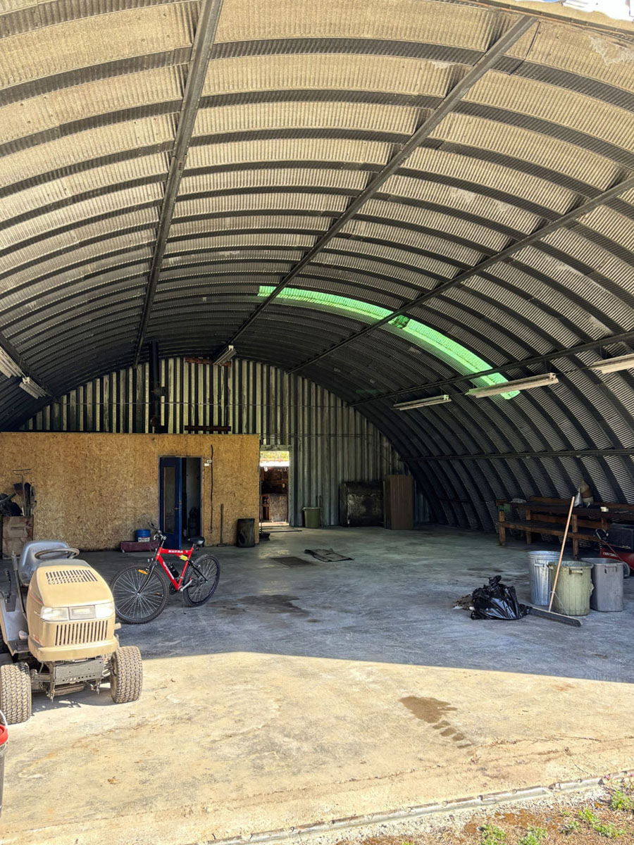
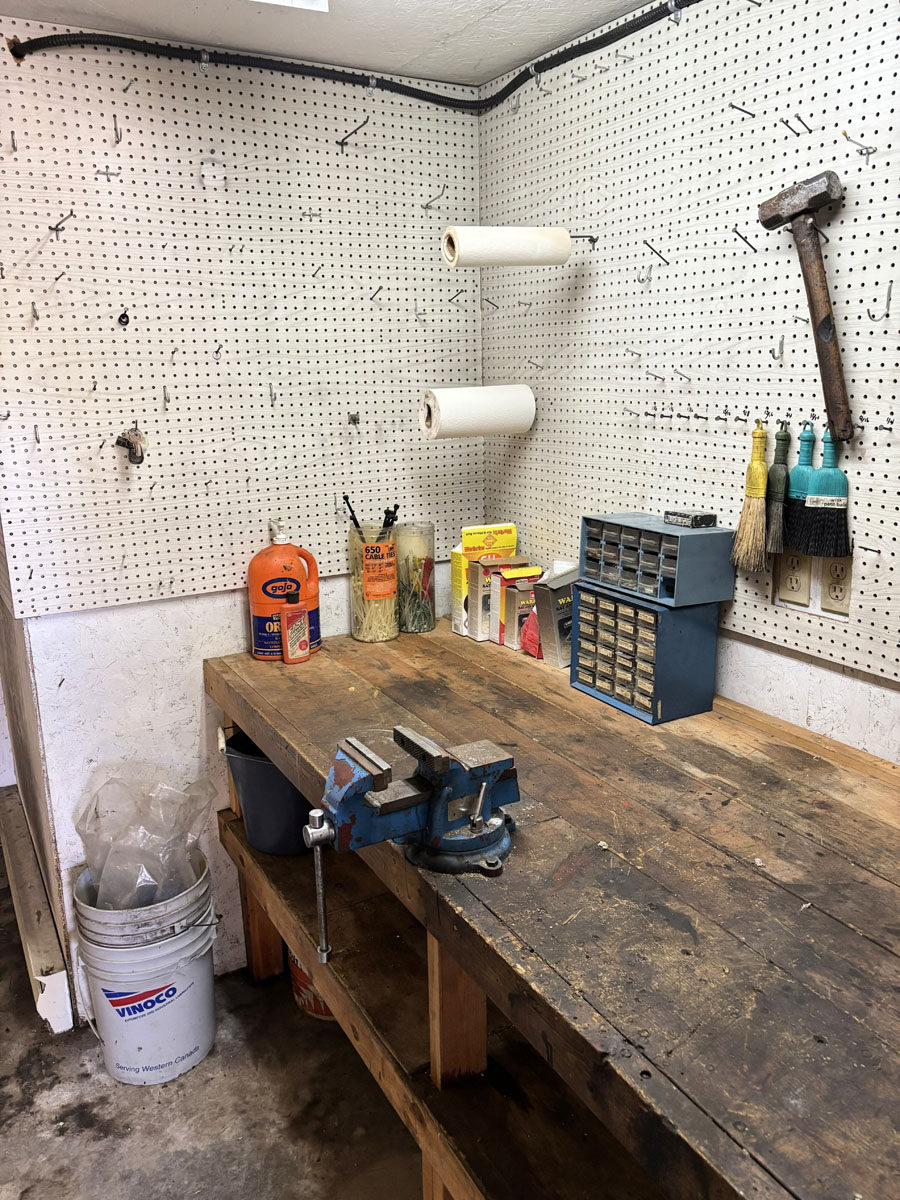
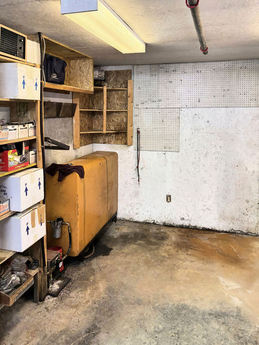
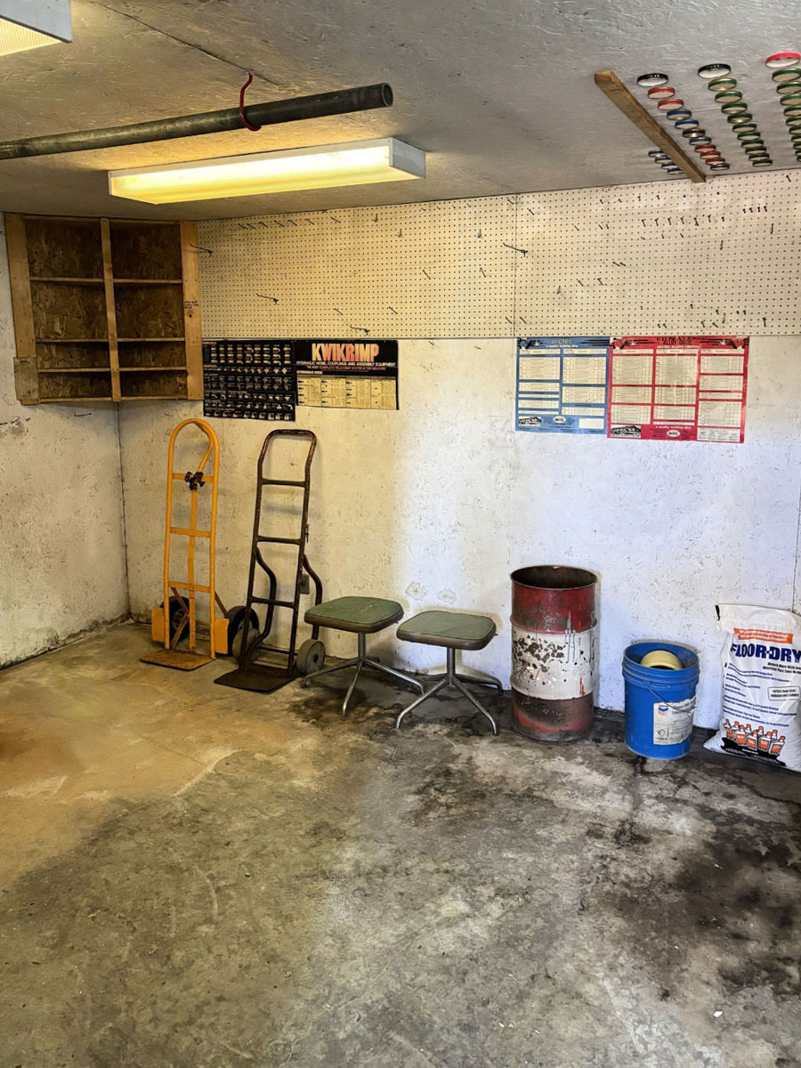
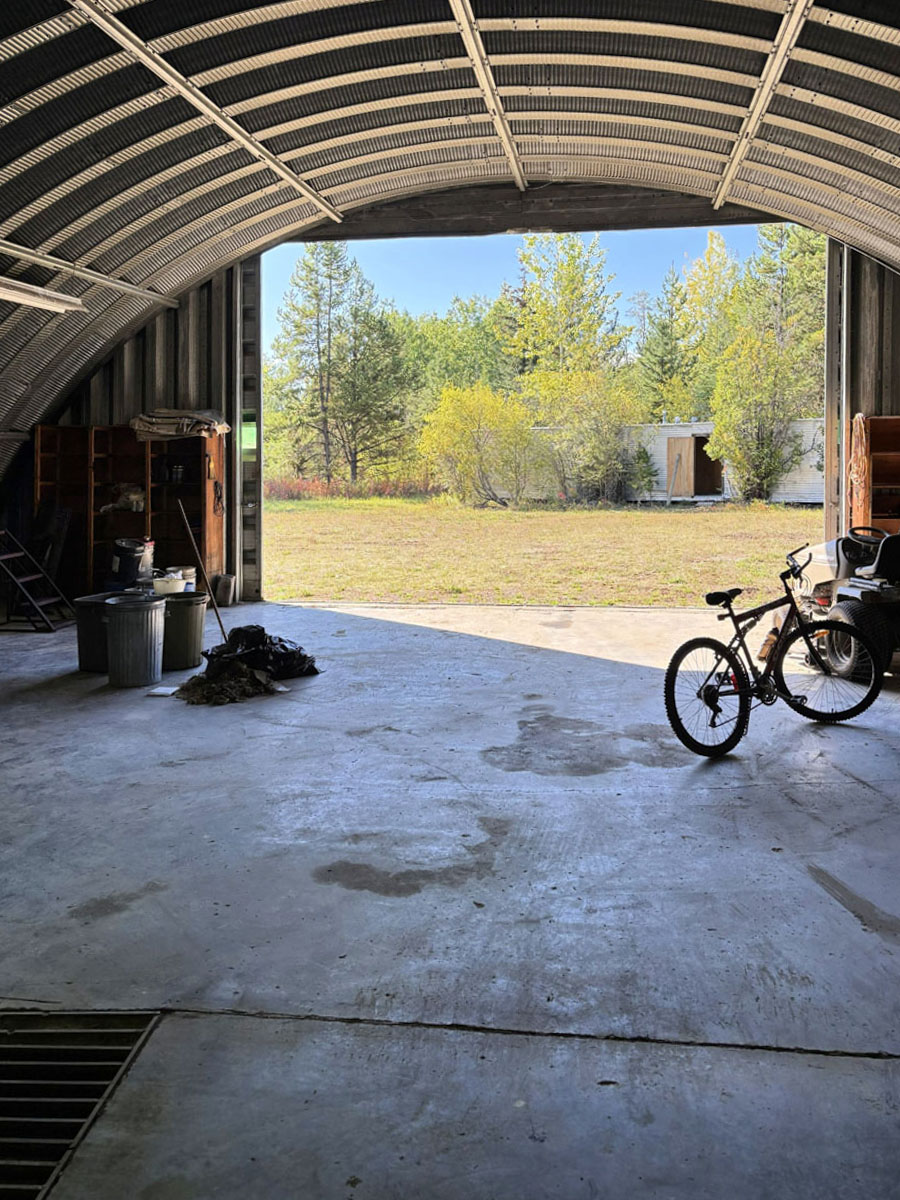
At the heart of the property is a well-cared-for two-level home built in 1985, designed to take advantage of natural light with plenty of windows and a welcoming sunroom overlooking the yard. With some light tree thinning, the home could once again showcase its stunning lake views. A brand-new, never-used hot tub in the basement offers the perfect spot to relax after a day outdoors. Complementing the home are a large shop with heated workroom, additional functional outbuildings, and cleared, level areas ideal for gardens, outdoor recreation, or livestock. With natural drainage, usable land, and easy access off a quiet country road, this property is well suited for a year-round residence, hobby farm, or recreational retreat.
Whether you’re seeking peace and quiet, space to create, or a rural lifestyle with fishing, trails, and adventure at your doorstep, this is the perfect opportunity in BC’s spectacular Lakes District.
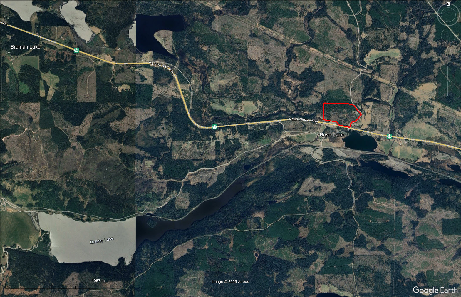
20655 Hossack Road - Burns Lake, BC
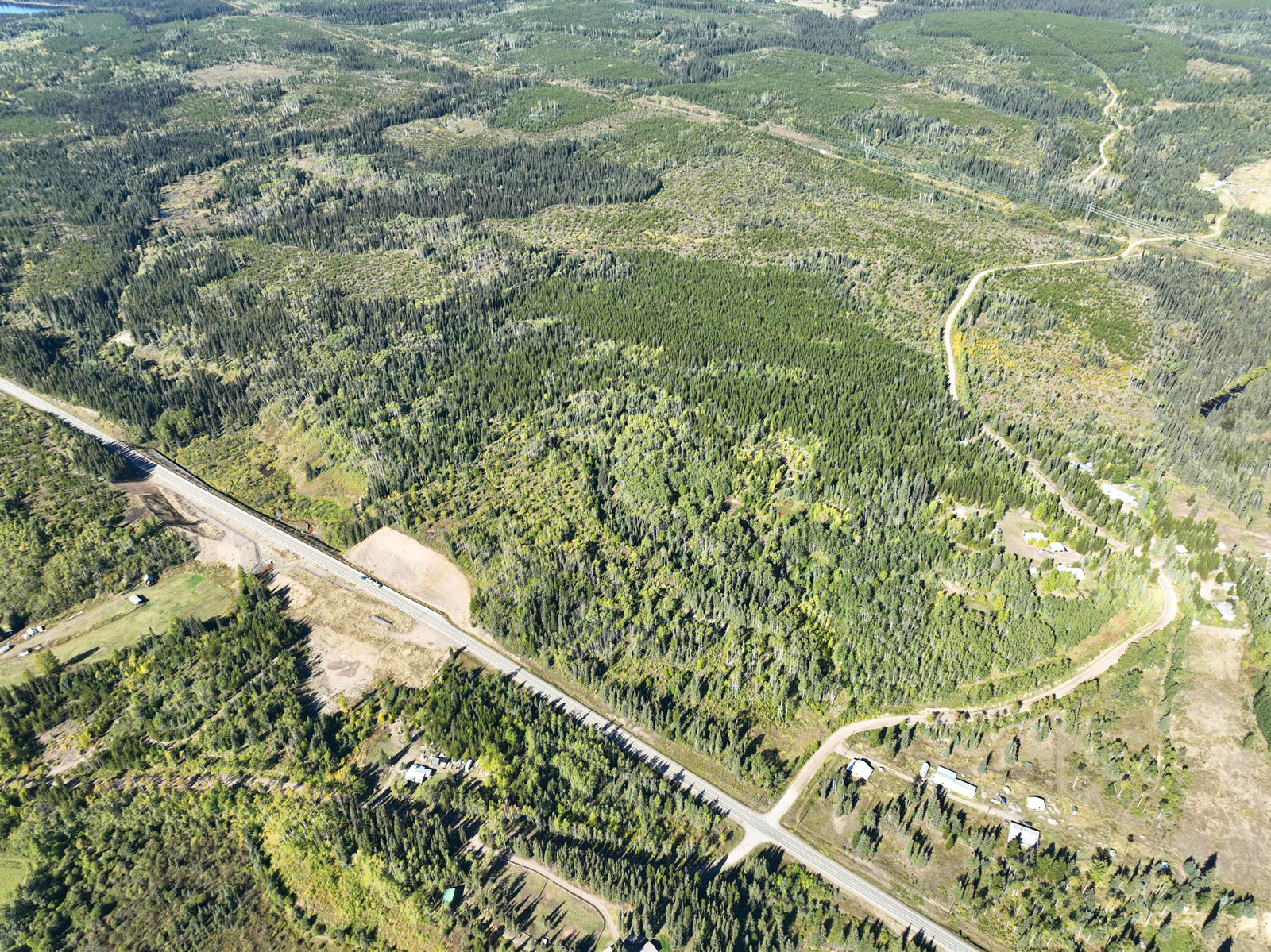
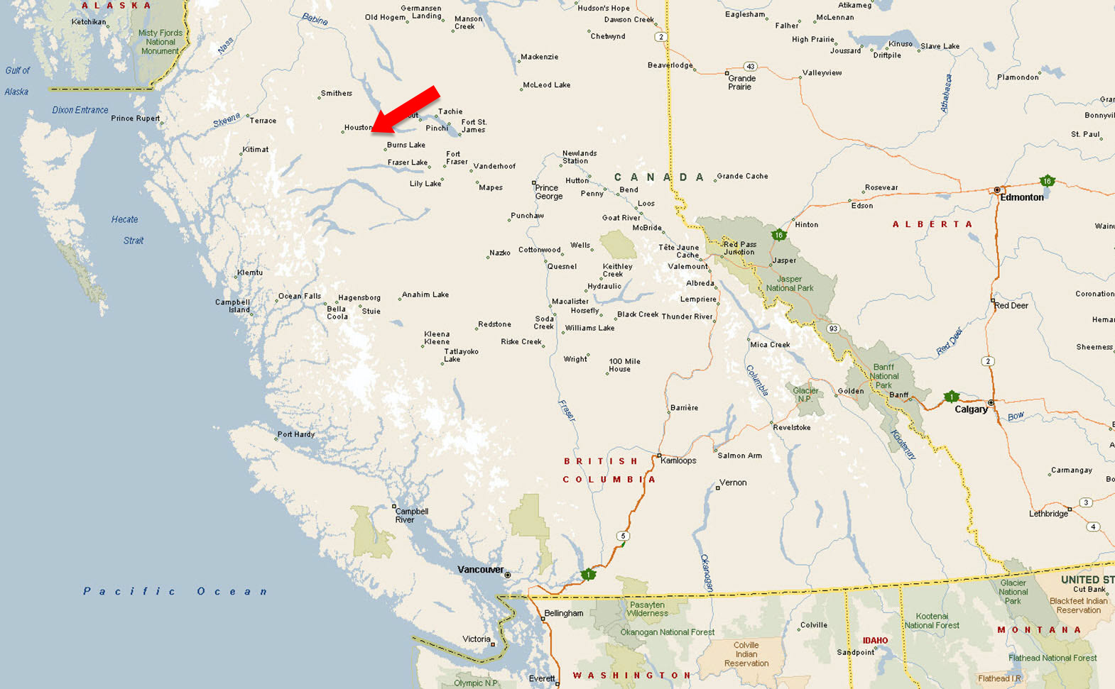
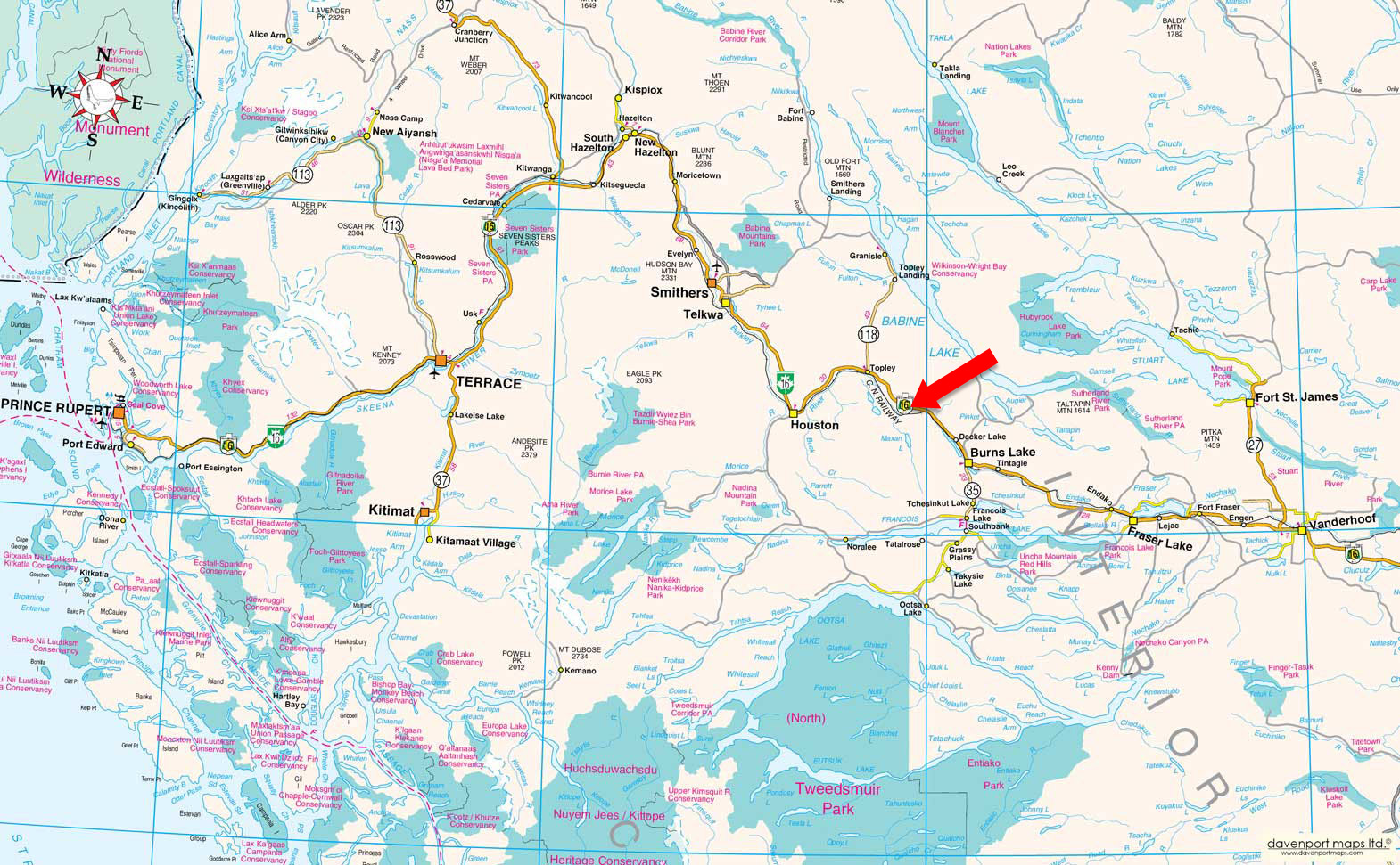
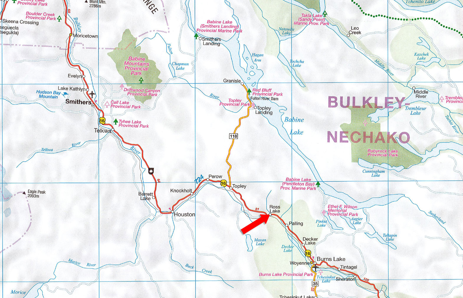
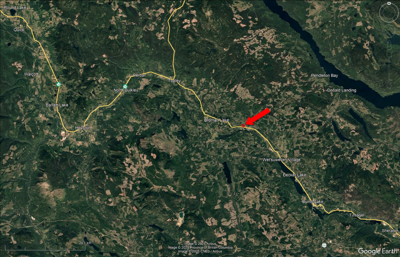
The drive from Vancouver to 20655 Hossack Road near Burns Lake, BC is about 1,000 kilometres and takes roughly 11 to 12 hours. You begin on Highway 1 east through the Fraser Valley and Fraser Canyon toward Cache Creek, then continue north on Highway 97 through the Cariboo, passing 100 Mile House, Williams Lake, and Quesnel. At Prince George, head west on Highway 16, the Yellowhead Highway, toward Burns Lake. Just before reaching the village, turn onto Hossack Road, a quiet country route that leads directly to the property perched above Rose Lake.
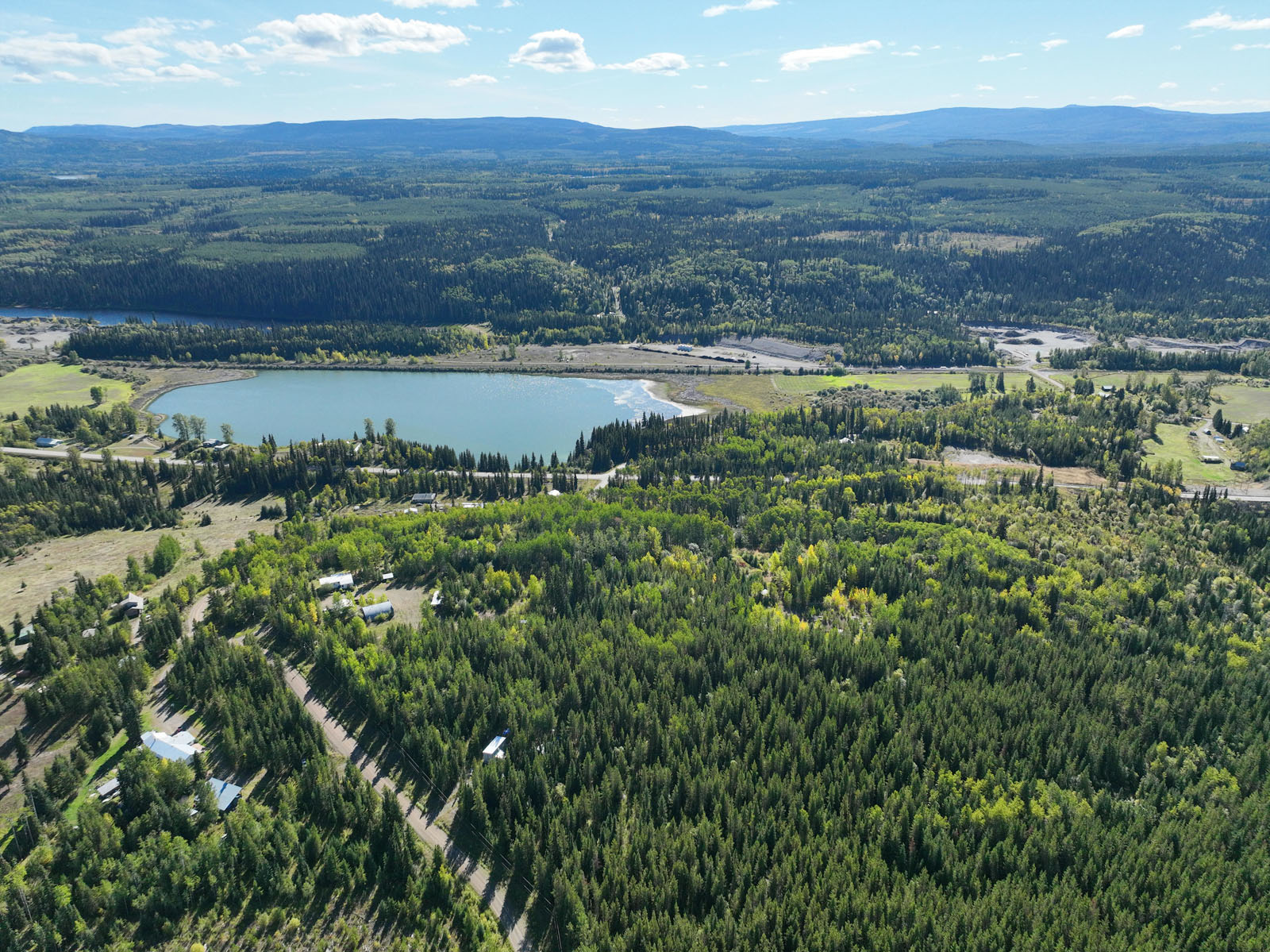
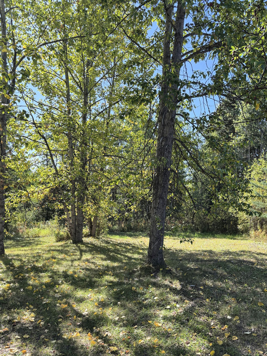
The area around 20655 Hossack Road, just outside Burns Lake, sits in the heart of the spectacular Lakes District. It’s a landscape of rolling hills and forested ridges, with stands of spruce, pine, poplar, and aspen mixed in. The property is perched above Rose Lake, giving you seclusion, privacy, and often sweeping views down to the water and surrounding mountains. Pure country-north BC beauty.
Recreation is abundant: Burns Lake offers mountain biking (with famous trails on Boer Mountain), hiking, fishing, boating, canoeing, snowmobiling, and skiing depending on the season. There are numerous lakes nearby, trails in forested terrain, beaches, and provincial parks. Town isn’t far—amenities, services, stores in Burns Lake are within a reasonable drive, so you get a rural escape while still staying connected.
Burns Lake lies within the Sub-Boreal Spruce (SBS) biogeoclimatic zone. The landscape is sculpted by a long history of fires, logging, and natural disturbance, and the forest reflects that, with a mix of young regenerating stands and mature timber. Dominant tree species include lodgepole pine, hybrid spruce, white spruce, and subalpine fir, along with lesser amounts of Douglas fir, black spruce, and deciduous components such as trembling aspen, birch, and cottonwood.
Underneath the canopy, the understory and ground cover are rich and varied. Mosses, ferns, shrubs, and berry bushes proliferate—blueberries, huckleberries, devil’s club, and other shade-tolerant shrubs are common. In wetter riparian zones along creeks and around lakes, you'll find willows and alders, with lush herbaceous growth, mosses, and moisture-loving plants. In drier, more exposed patches—especially where fires or logging have opened the canopy—sunlight allows grasses and early successional species to flourish.
Seasonally, the forest shifts colors—deciduous trees turning gold, berry bushes maturing, and mosses thriving in damp coolness. Winters bring deep snow, and many species are adapted to cold and snowpack. The growing season is relatively short.
The region is full of lakes with excellent fishing and boating—Burns Lake itself offers trout, char, and summer swimming, while lakes like Augier, Maxan, Co-Op, Babine, and Francois provide opportunities for rainbow trout, kokanee, char, and more. There are many boat launches, beaches (like Radley Beach), and recreation sites for picnicking or camping near the water. Canoeing, kayaking, and swimming are accessible in many spots.
Burns Lake has a big mountain biking scene centered around Boer Mountain. The area includes both downhill and cross-country trail networks, with trail features for all levels—flow trails, technical sections, jumps, boardwalks, etc. Hiking options are abundant: short easy walks through wetlands, moderate hikes to viewpoints or waterfalls (like the Nourse Creek Falls trail), forested loops (such as Star Lake, Rod Reid, Kager Lake), nature trails easily accessible from town, and more remote trails for wilderness lovers.
In the colder months, there’s no shortage of winter sports. The Omineca Ski Club maintains cross-country skiing and biathlon trails (including night skiing) and is a hub for snowshoeing. Snowmobiling is supported via forest trails and the community forest lands. For indoor or more social forms of recreation, the Lakeside Multiplex serves as a community hub with fitness facilities, arenas, possibly climbing and multi-use spaces.
Burns Lake has been home to the Dakelh (Carrier) and Wet’suwet’en First Nations for centuries, with Indigenous people living off the rich resources—fishing, hunting, gathering—long before European arrival. In the mid-1800s, surveyors for the Collins Overland Telegraph passed through the region (1865-66), mapping areas around what is now Burns Lake. One of those surveyors, Michael Byrnes (often spelled “Byrnes” or “Byrns” in early maps), is believed to be the origin of the town’s name.
With the completion of the Grand Trunk Pacific Railway in 1914, the community grew significantly. Settlers moved in for logging, farming, mining, and supplying railway construction. Local entrepreneur Barney Mulvany, among others, played a key role in establishing the townsite. Burns Lake was officially incorporated as a village on December 6, 1923. Over the 20th century, the forest industry became a backbone of the local economy, with mills and logging operations dominating. Other industries—agriculture, mining (notably molybdenum, copper, gold, and silver), public services, transportation—also contributed. Burns Lake has weathered fires, economic fluctuations (including mill closures and disasters, such as the Babine Forest Products mill explosion in 2012), and changing industries, but has managed to maintain its role as a service hub in the Lakes District.
54°24'13.53"N and 126° 1'47.38"W
$2,042.50 (2025)
H-1
LOT 3, PLAN PRP8535, DISTRICT LOT 3536, COAST RANGE 5 LAND DISTRICT, EXCEPT PLAN EPP111190
PID 007-519-486
CSA: Z240-24013
MHR: 059437
Multiple Listing Service®
 +8 maps
Our property descriptions and geographical information are taken from the BC Assessment Authority, Land Titles Office, government maps and other sources. While LandQuest® does not guarantee the information, we believe it to be accurate, but should not be relied upon without verification. This communication is not intended to cause or induce breach of an existing agency agreement.
Rose Lake
 15℃
15℃
 18℃
18℃