


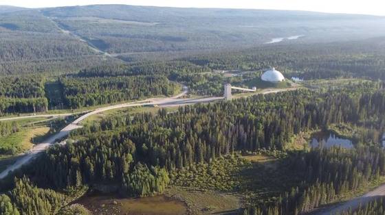
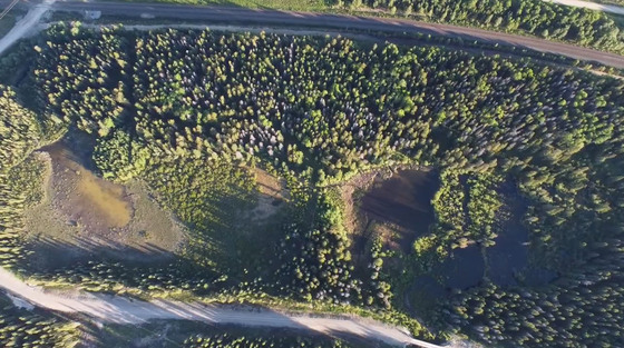
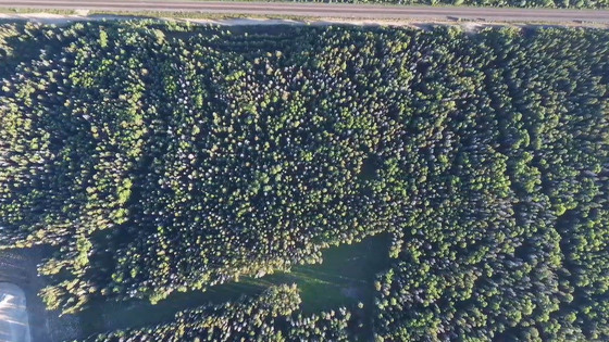
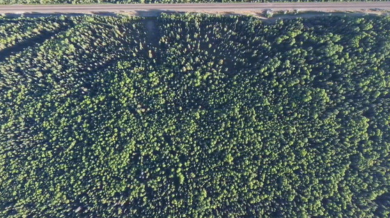
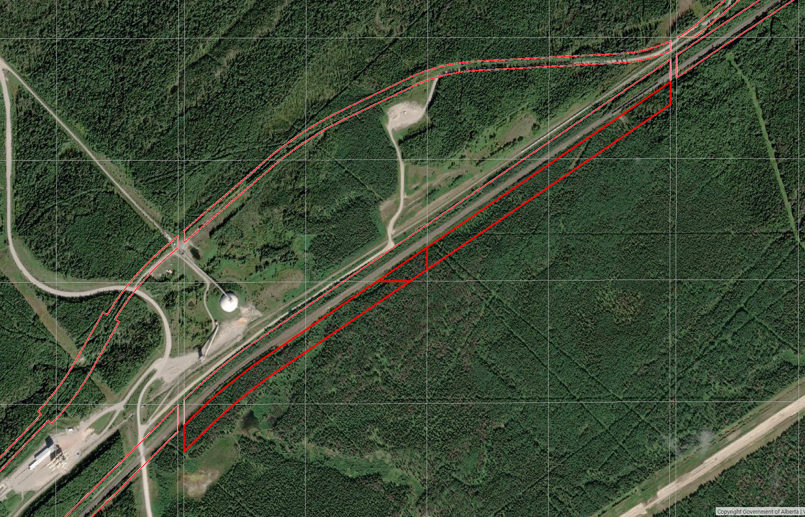
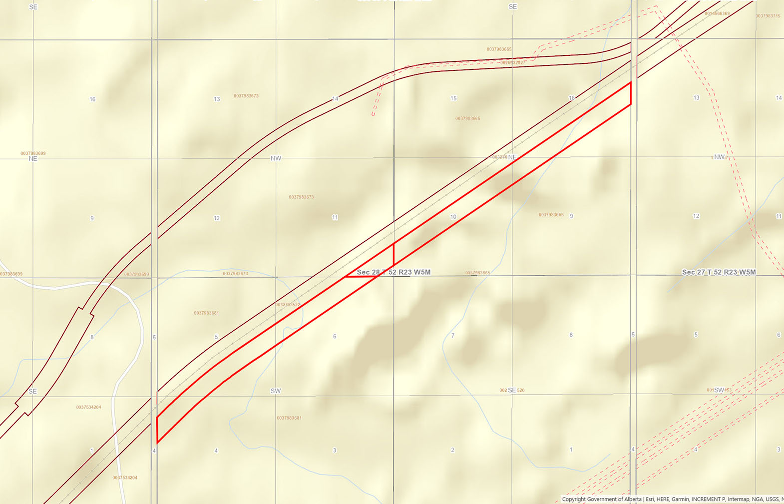
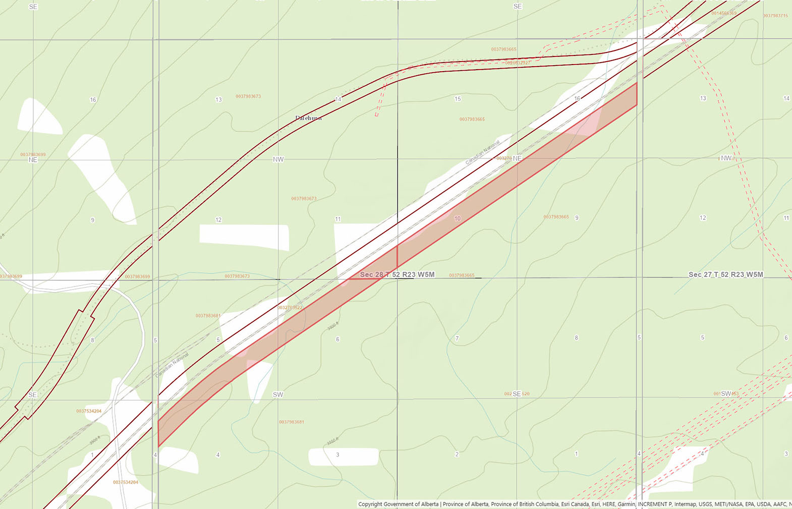
Remote 29.36-acre recreational landholding in rural Yellowhead County, Alberta. This unique property is approximately 200 feet wide and 2 kilometres long, located along the south side of a CN rail line. Mostly timbered with riding trails throughout the property.


 +14 photos
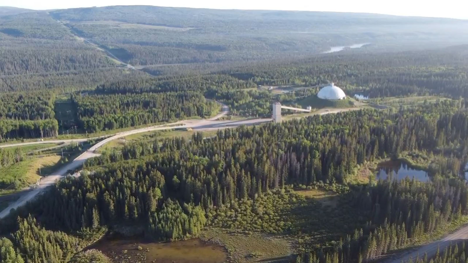
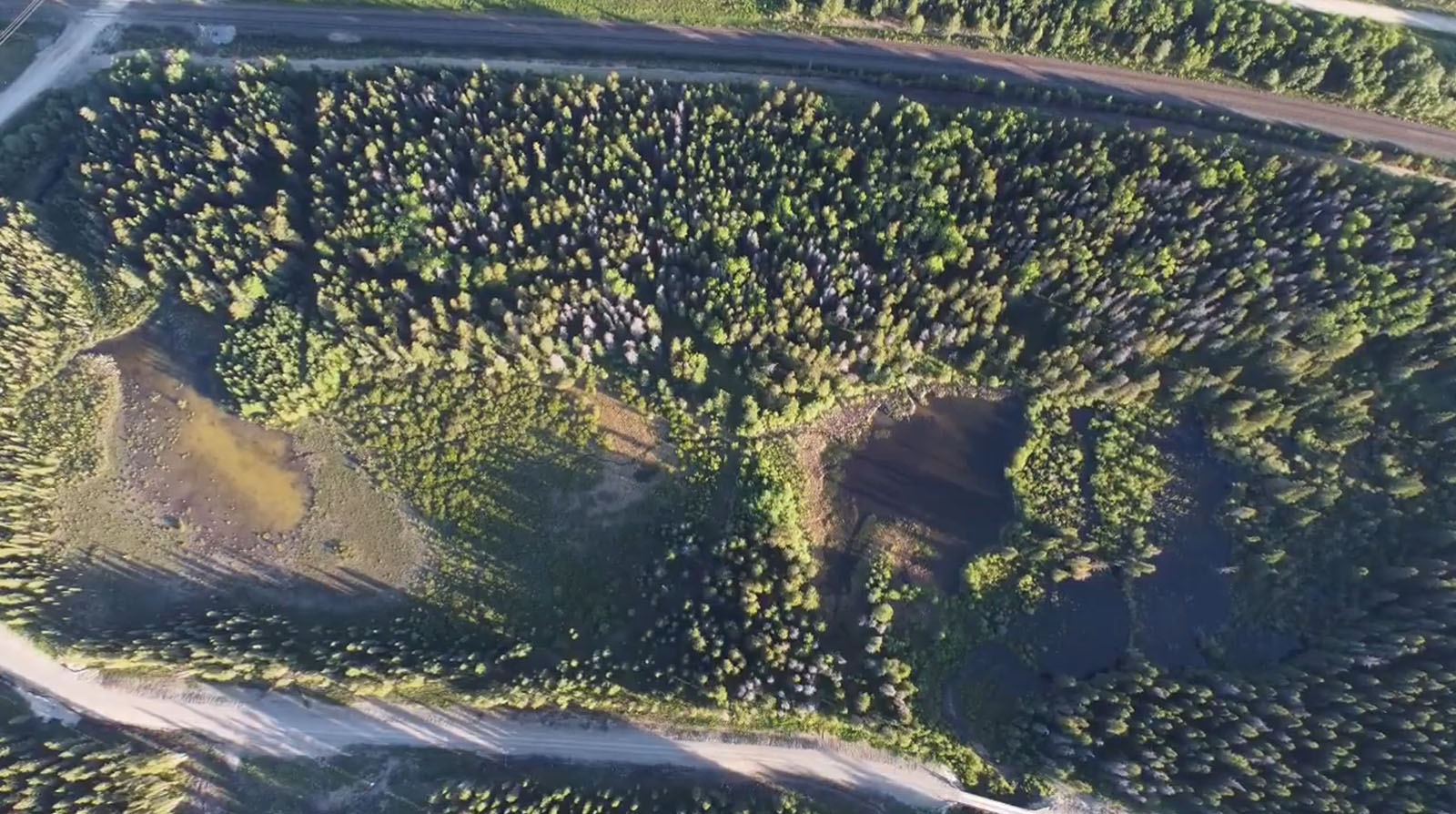
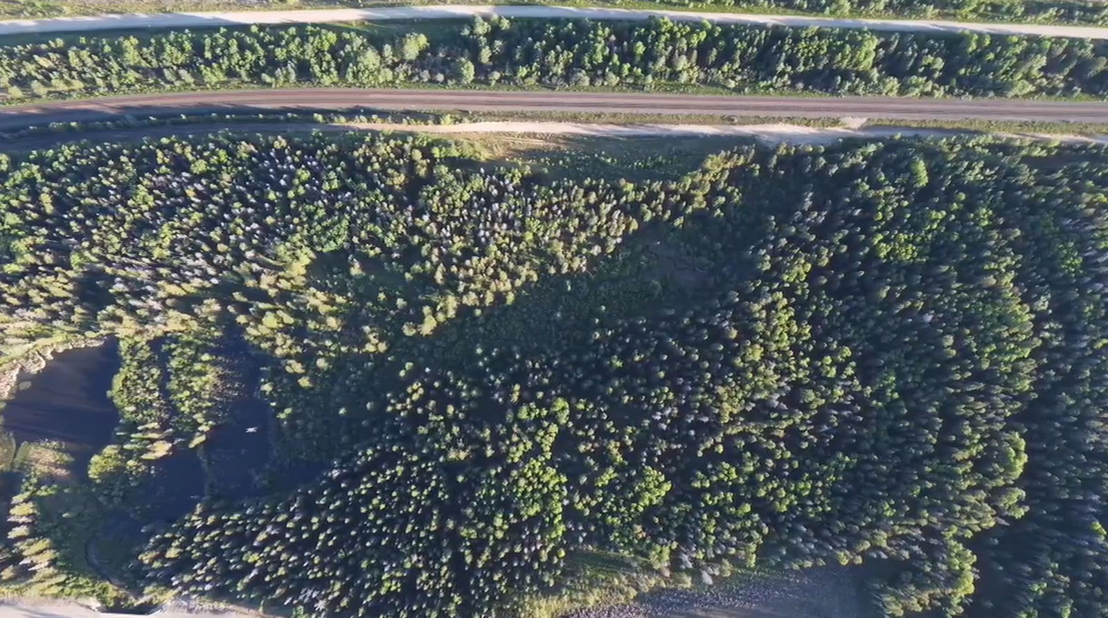
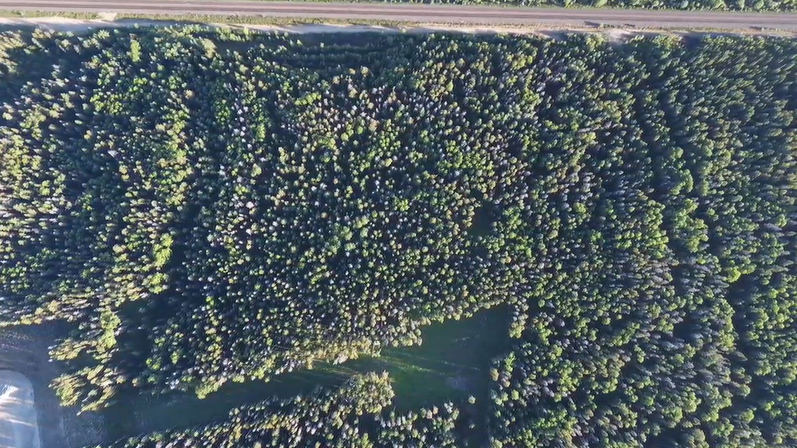
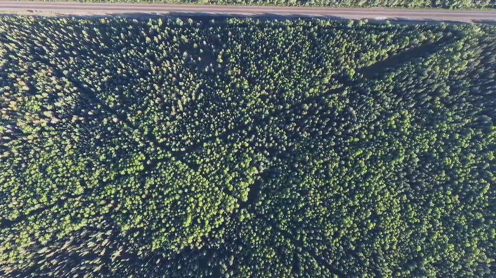
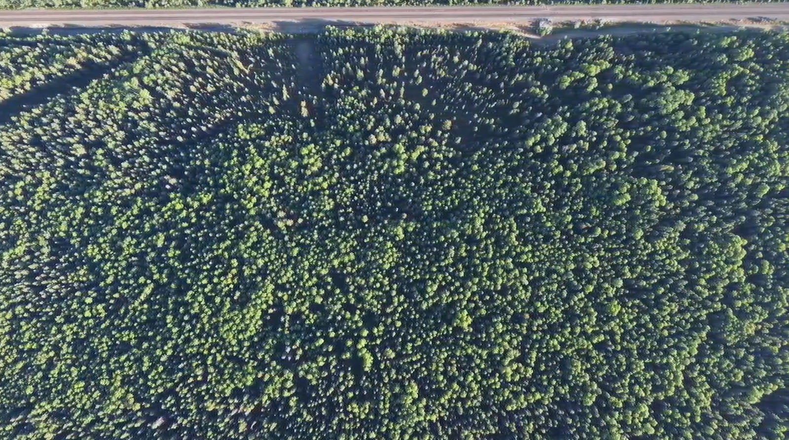
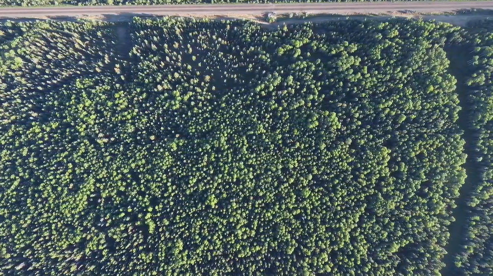
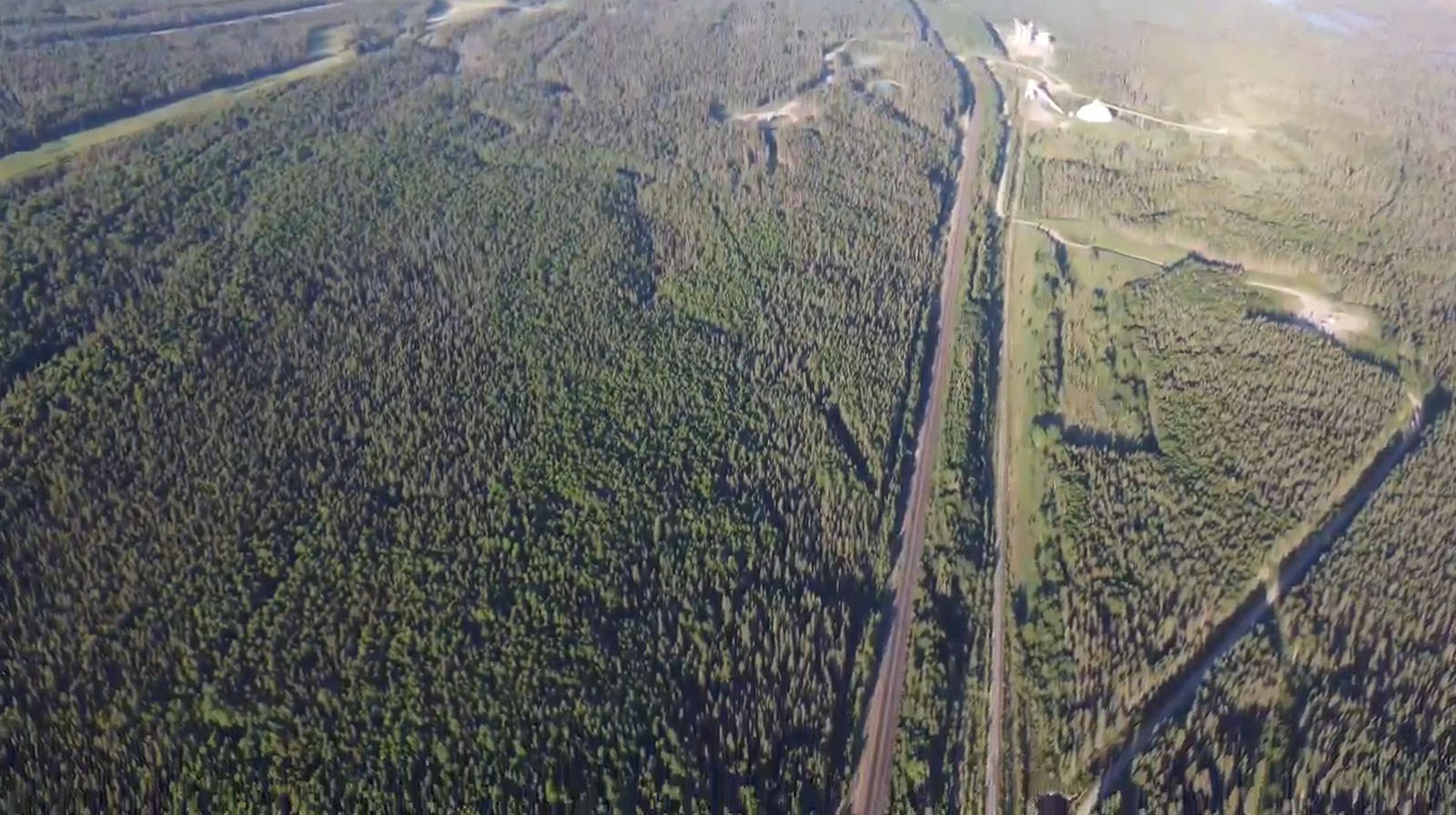
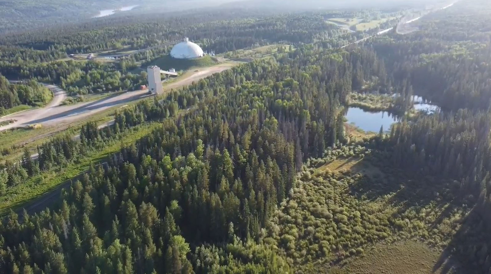
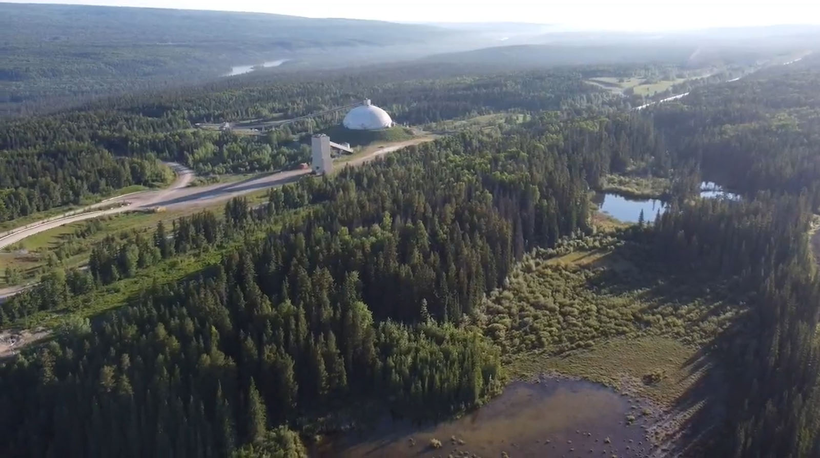
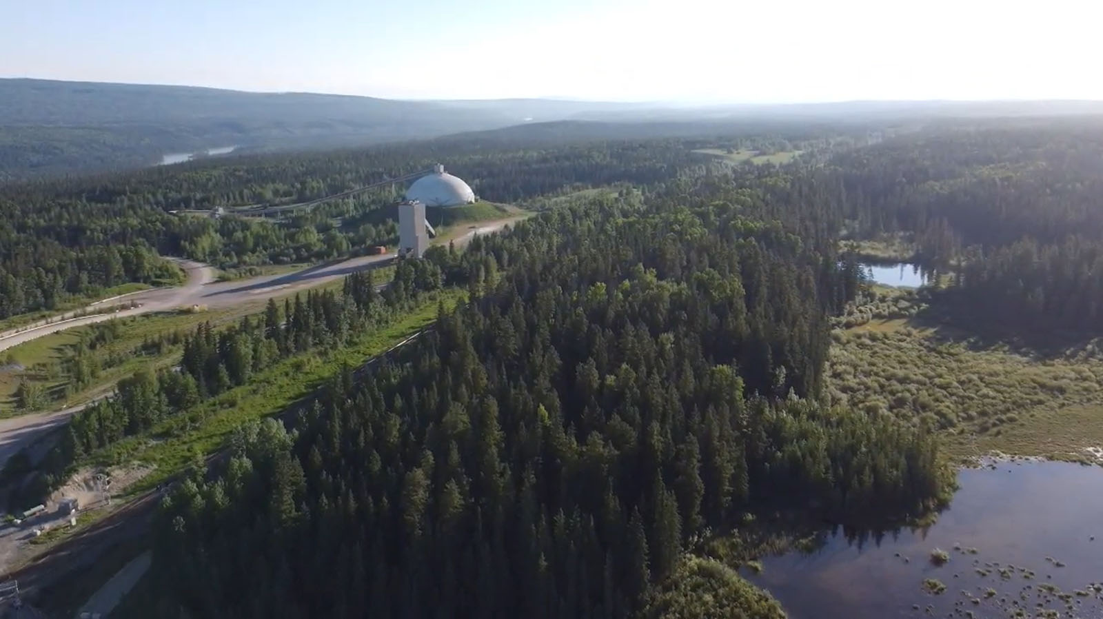
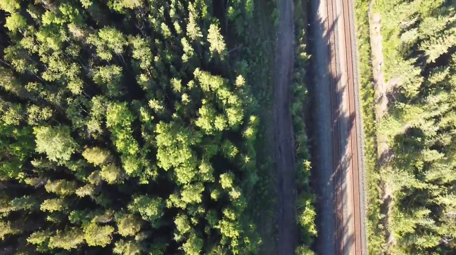
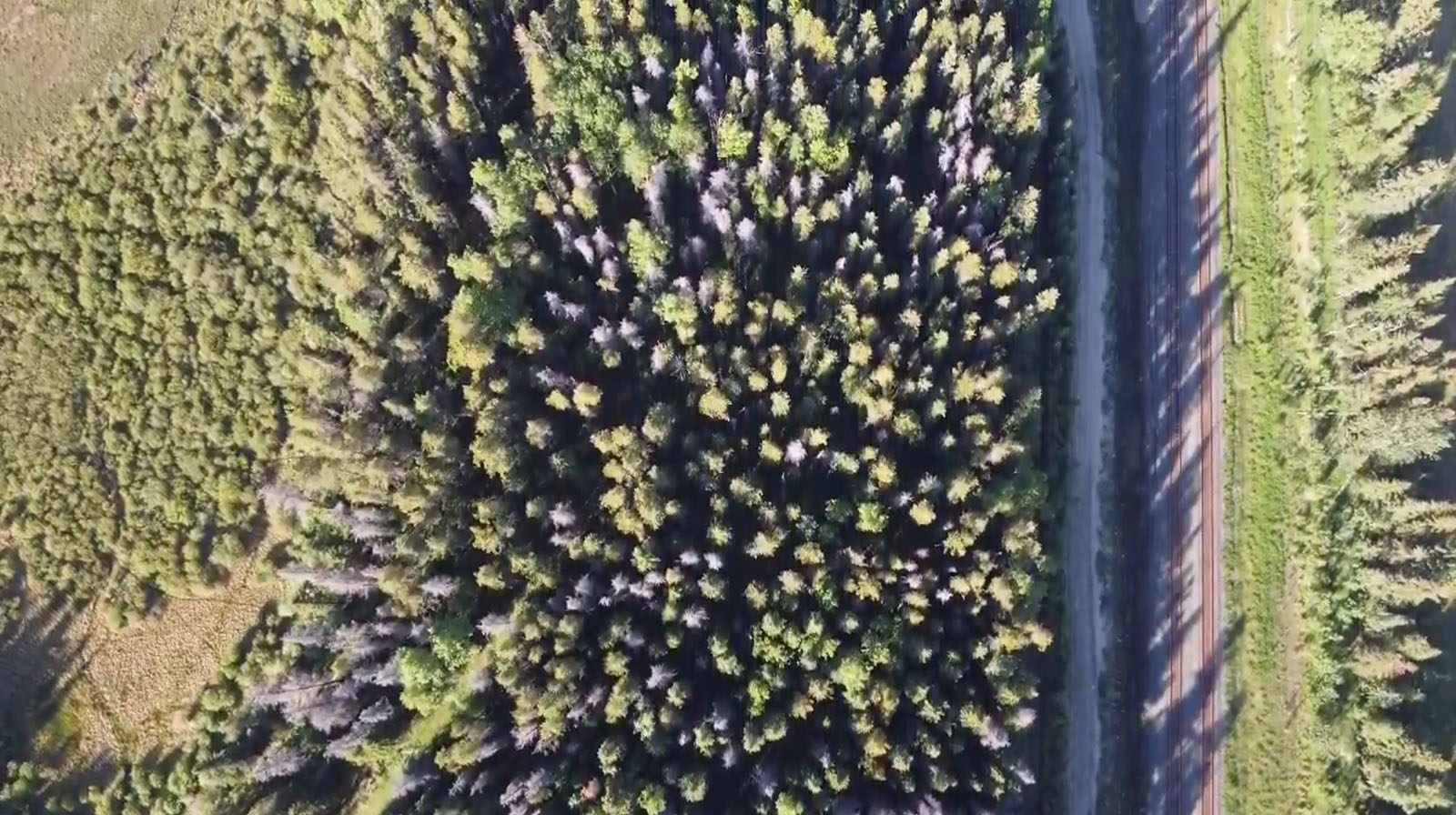
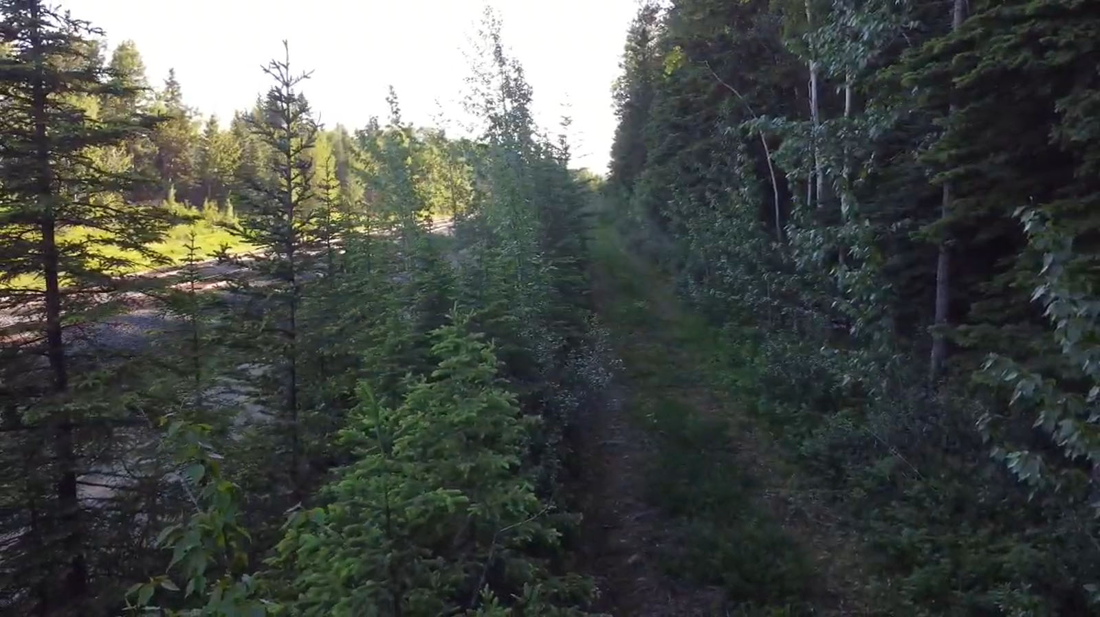
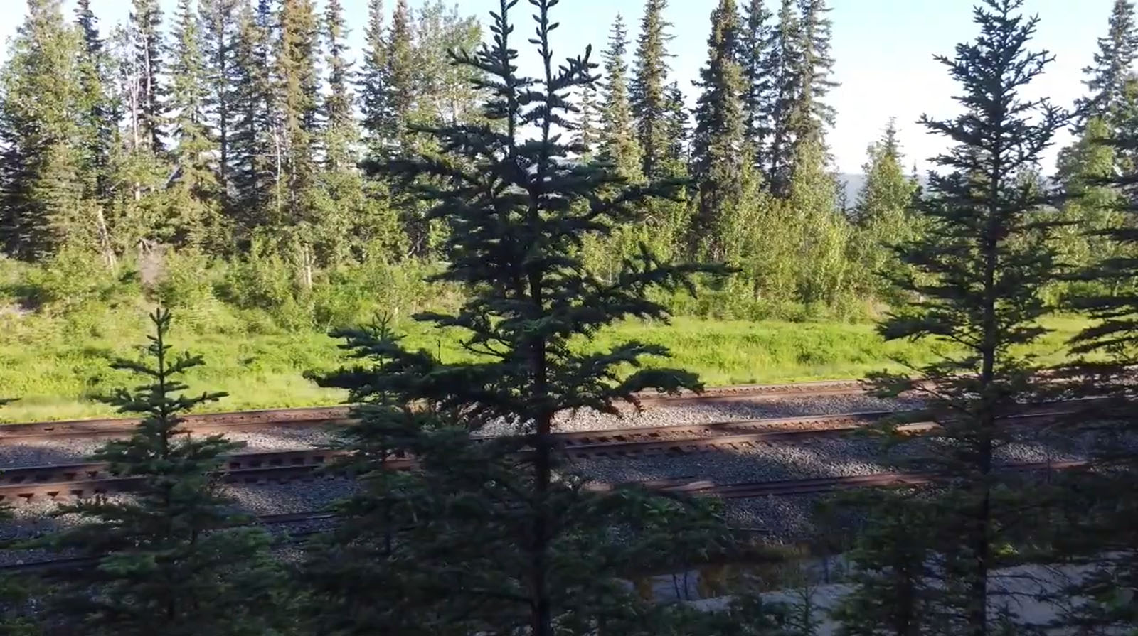
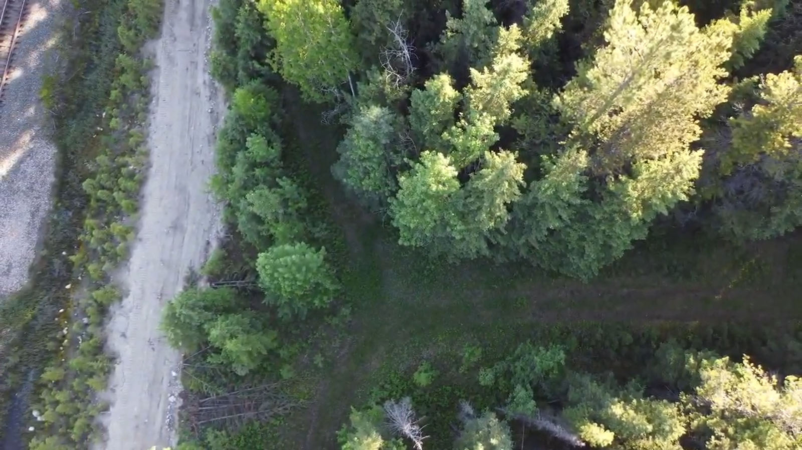
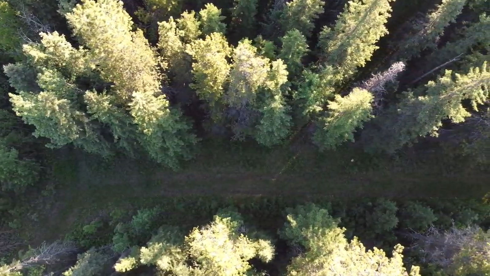
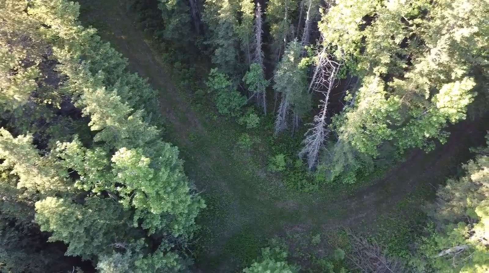
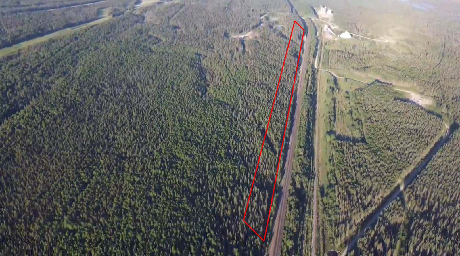
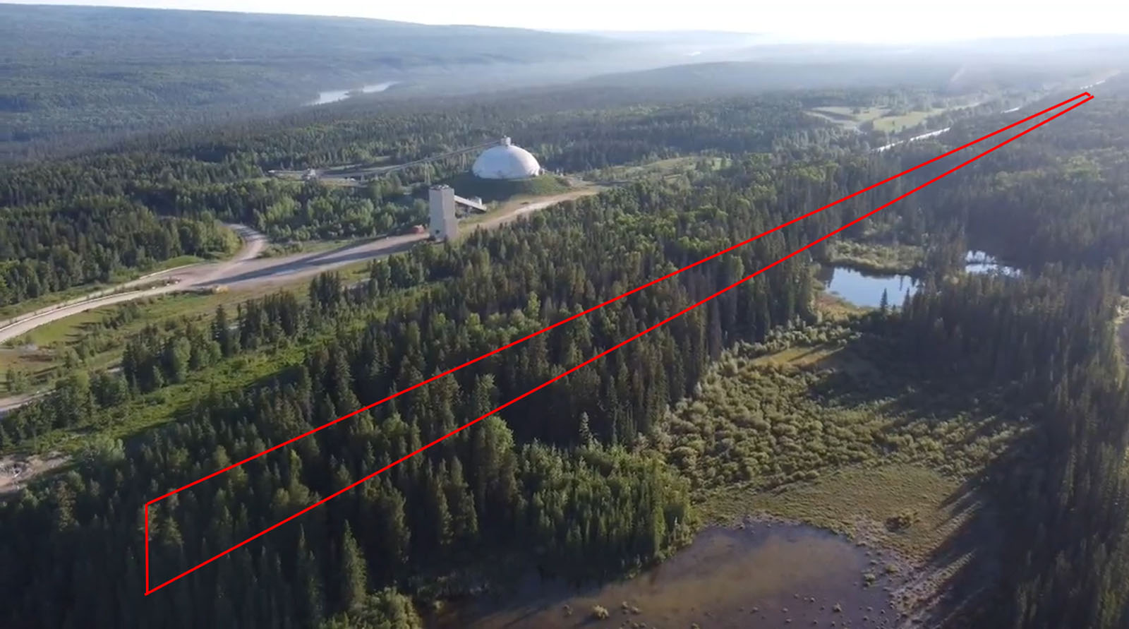
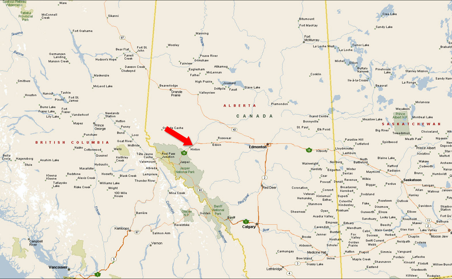
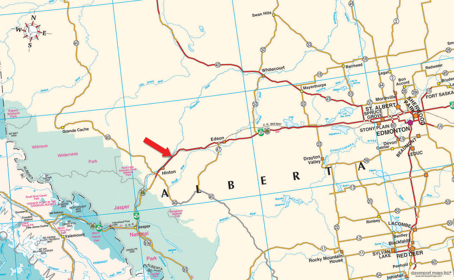
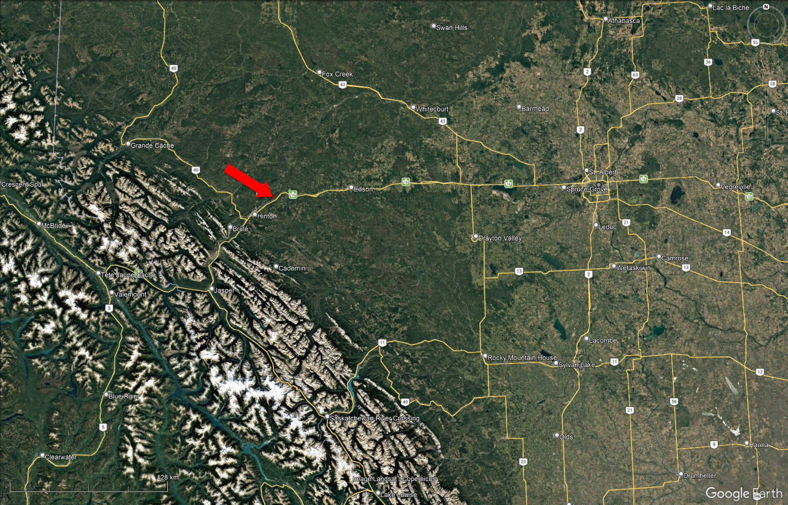
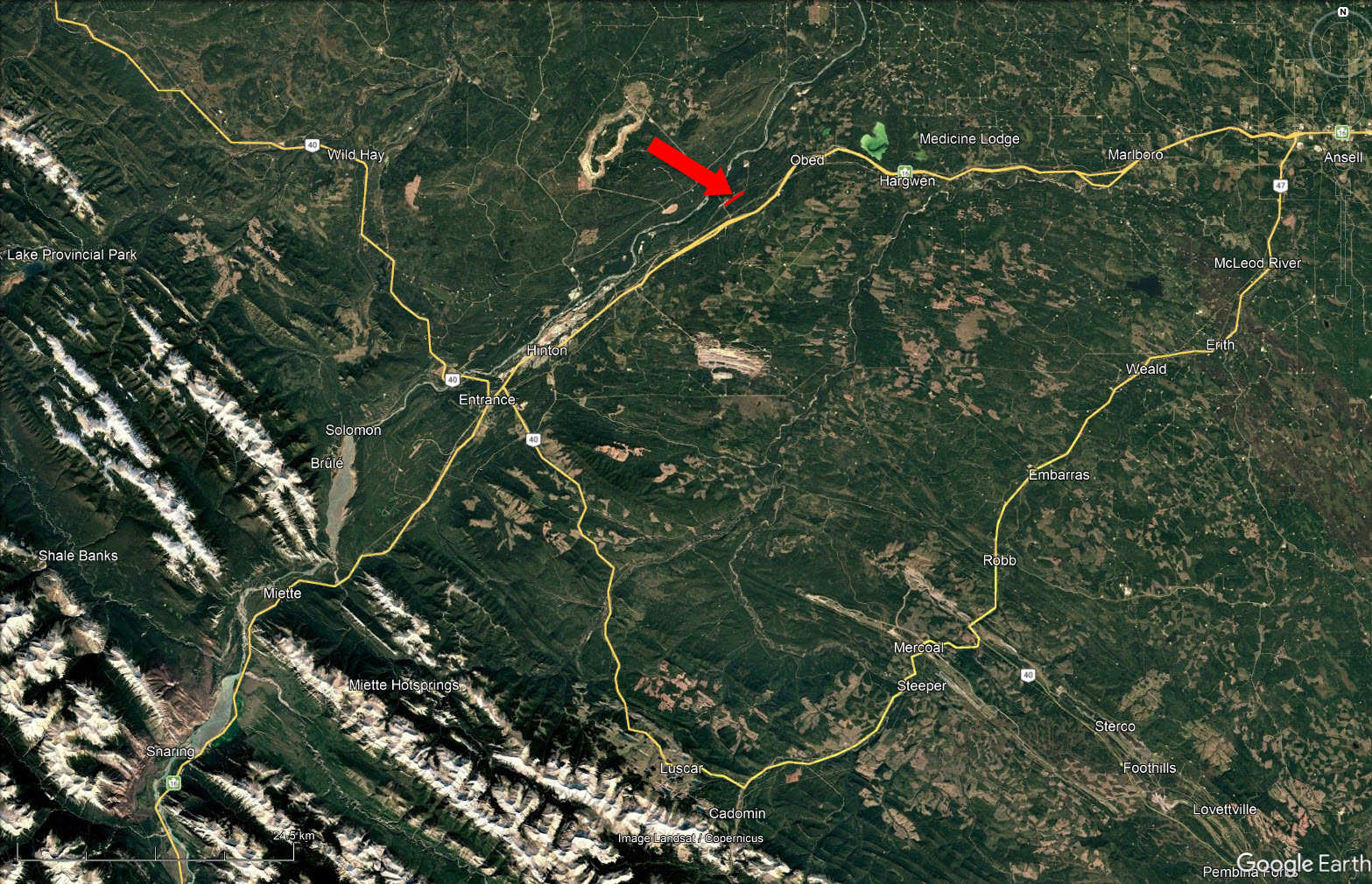
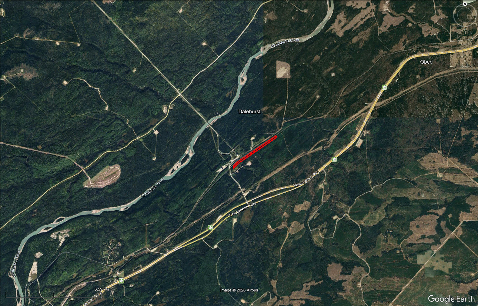
Remote 29.36-acre recreational landholding for sale in rural Yellowhead County, Alberta, located approximately 20 minutes from Hinton. This unique property consists of three fee simple title parcels that combine to create a long, narrow land base along the south side of a CN Rail line. The parcels combined are roughly 200 ft wide by 2 km long. With a natural, private setting and no known buildings or site improvements, the property offers a rare opportunity for buyers seeking remote recreational land, off-grid use, ATV-accessible land, or a long-term rural land investment in west-central Alberta.
The parcel is well-suited for those looking for a quiet outdoor retreat, recreational holding, or undeveloped Alberta land near the Hinton and Yellowhead County area. Its remote location, natural vegetation, and linear configuration provide a distinctive landholding for buyers interested in privacy, exploration, and future ownership potential outside of a traditional subdivision setting.
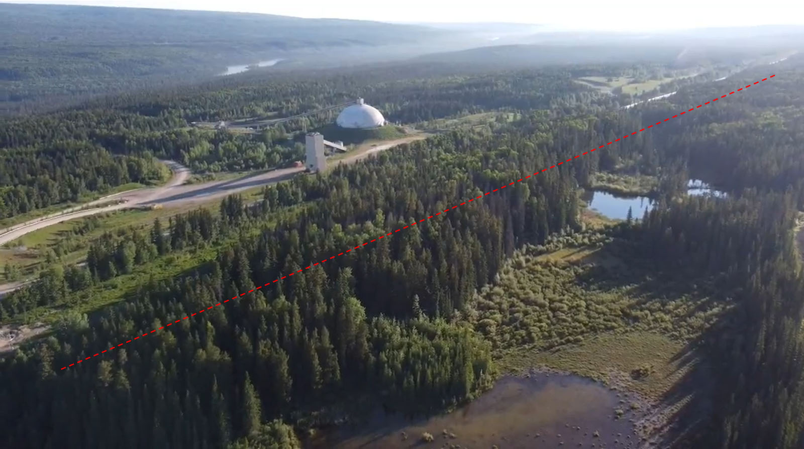
Buyers should note that there is no direct public road access to the property. Access is understood to be by ATV from Obed Mountain Road. All buyers are responsible for independently verifying access, boundaries, zoning, permitted uses, services, title details, CN Rail proximity, and any potential for logging or recreational use before purchase.
Access via Obed Mountain Road - Yellowhead County, AB
Contact the listing agent.
Yellowhead County is located in west-central Alberta, a region known for its expansive natural landscapes, forestry, resource-based industries, rural communities, and abundant outdoor recreation opportunities. Surrounded by Alberta’s foothills, boreal forest, rivers, trails, and backcountry areas, Yellowhead County appeals to buyers seeking privacy, space, and a strong connection to the outdoors.
The area is well-suited for recreational landowners, outdoor enthusiasts, and long-term land investors looking for remote Alberta property with access to hunting, ATV use, camping, hiking, wildlife viewing, and off-grid recreation. With its mix of natural beauty, working resource lands, and quiet rural settings, Yellowhead County offers a unique opportunity to own land in one of Alberta’s most rugged and scenic west-central regions.
Potential recreational uses may include ATV access, hunting, remote camping, and general outdoor recreation, subject to legal access, zoning, and applicable county or provincial regulations.
Please see the mapping section (all boundaries are approximate) and photos. Buyer to verify lines.
53°31'10.95"N and 117°19'52.14"W
No services known. No sewer or septic information provided. Buyer to verify the availability of power, water, gas, septic, and any other services.
Bare land.
$556.81 (2026)
ND - Natural District. Buyer to verify current zoning and permitted uses with Yellowhead County.
Plan 7468T Railway Station Grounds within Meridian 5, Range 23, Township 52, comprising parts of: SW 28 - 5.23 hectares/12.92 acres, more or less, lying south of the right of way.
LINC 0026 631 895
NE 28 - 5.84 hectares/14.43 acres, more or less, lying south of the right of way
LINC 0026 631 903
NW 28 - 0.814 hectares/2.01 acres, more or less, lying south of the right of way.
LINC 0026 601 310
EXCEPTING THEREOUT ALL MINES AND MINERALS
 +8 maps
Our property descriptions and geographical information are taken from the BC Assessment Authority, Land Titles Office, government maps and other sources. While LandQuest® does not guarantee the information, we believe it to be accurate, but should not be relied upon without verification. This communication is not intended to cause or induce breach of an existing agency agreement.
Obed
 14℃
14℃
 20℃
20℃