


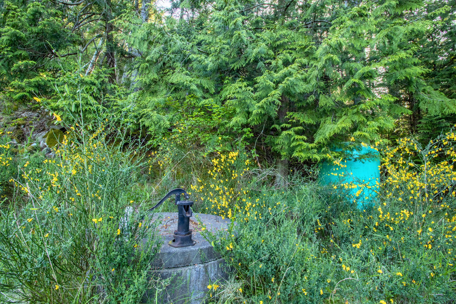
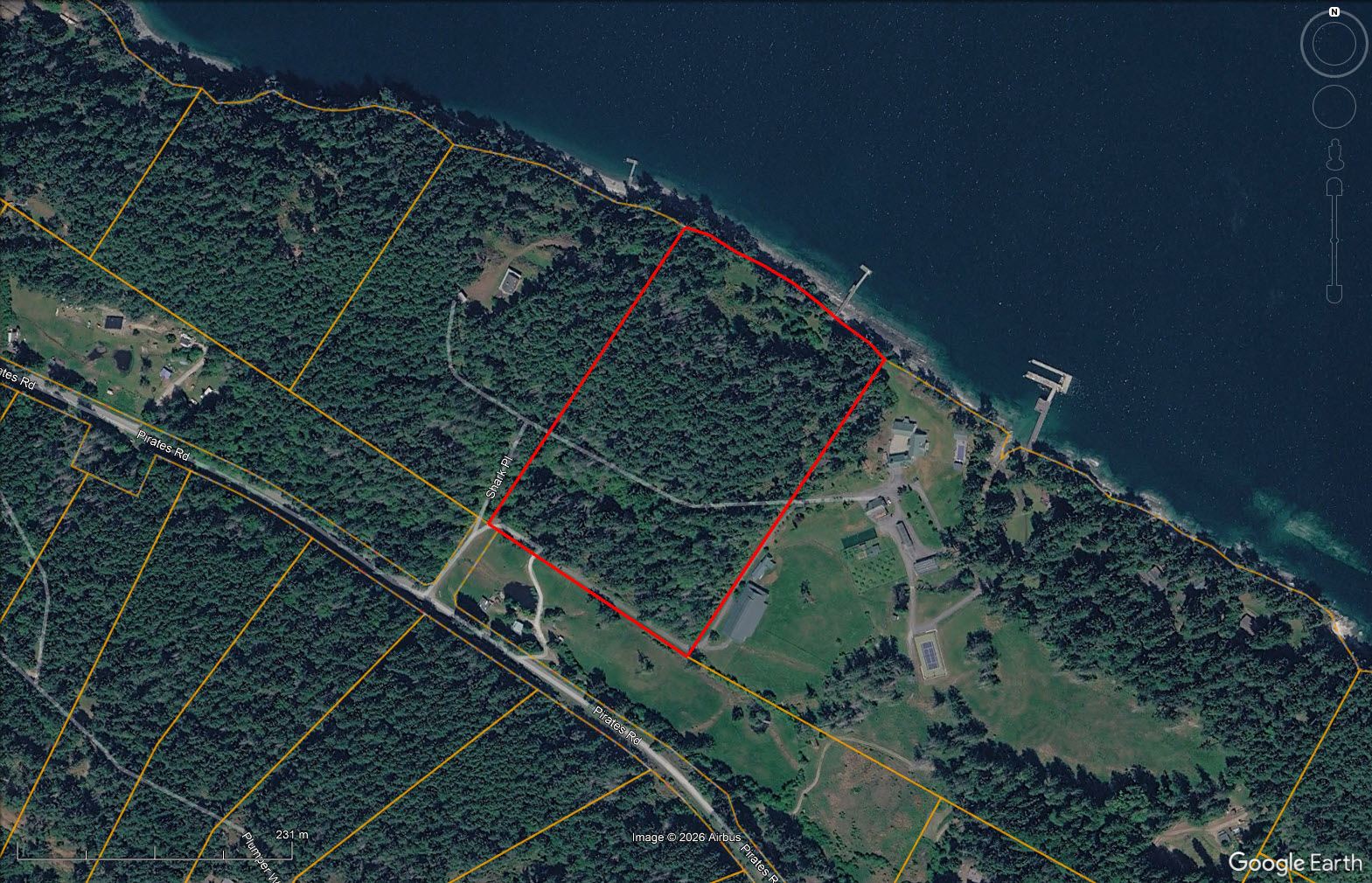
650 ft of low-bank walkable shoreline with a licensed foreshore lease. Private forested acreage with cleared building site, shallow well and driveway to the waterfront. Rural zoning allows a primary residence, guest cottage, and accessory buildings.


 +31 photos


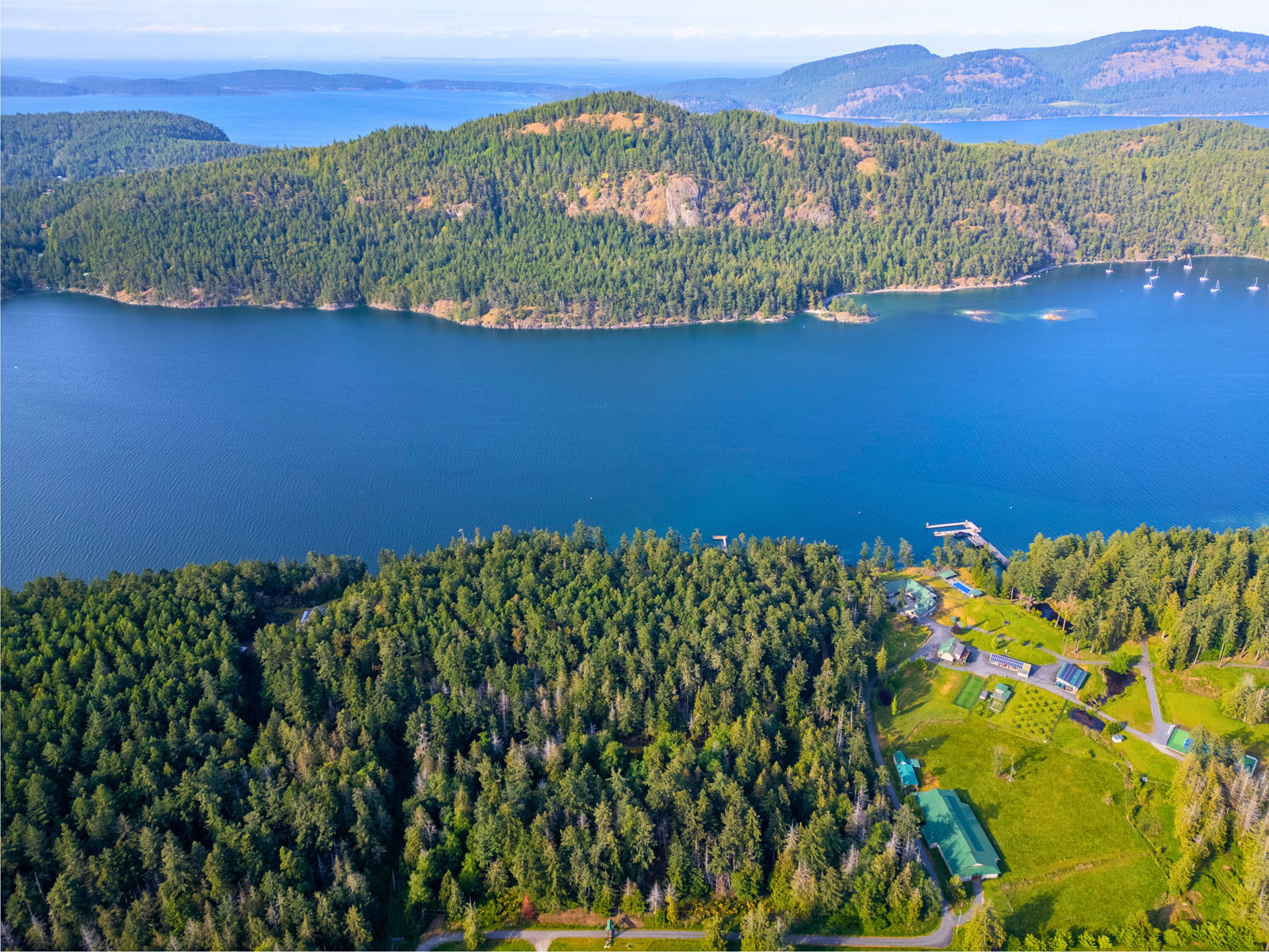
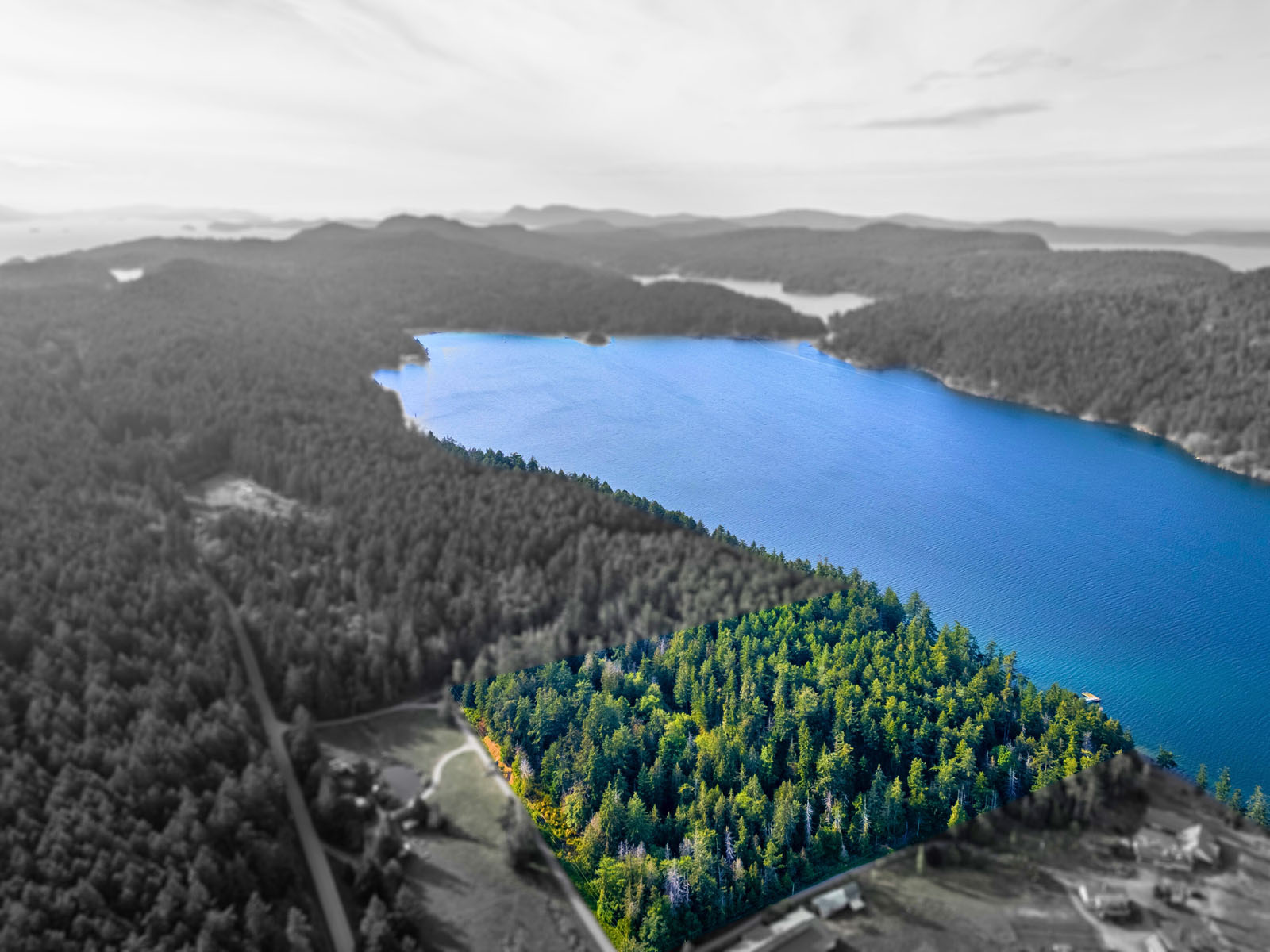


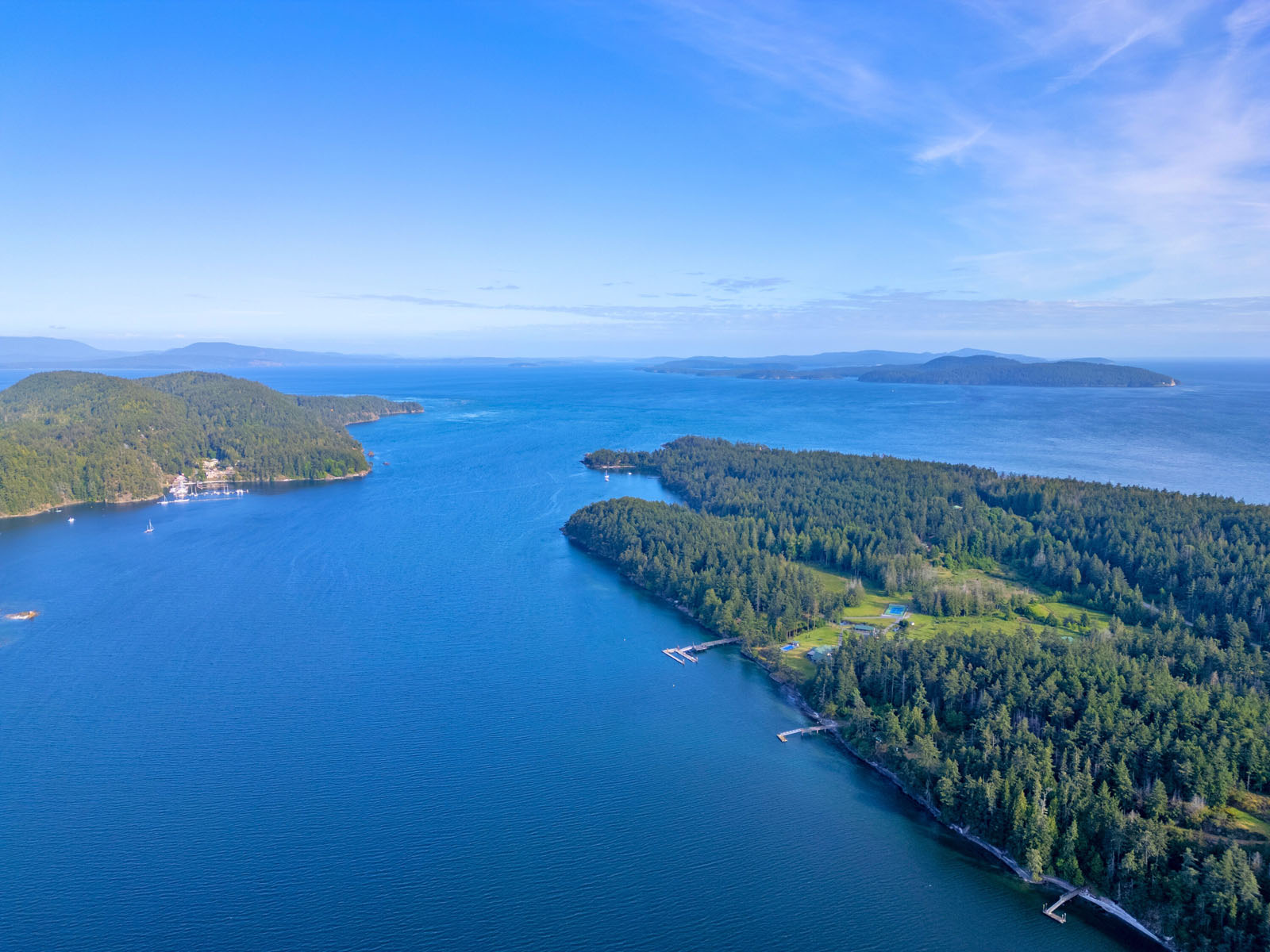
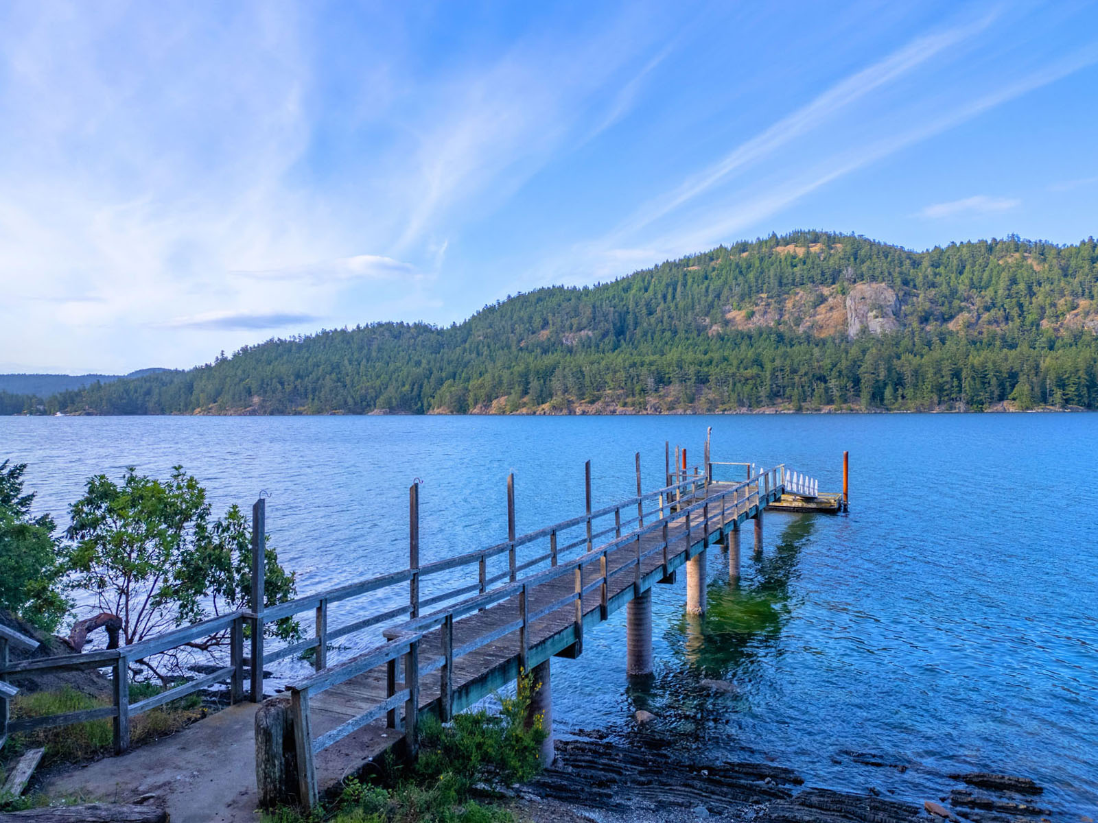


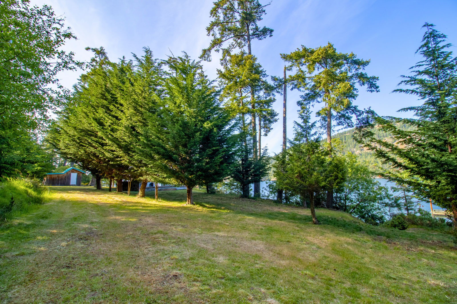
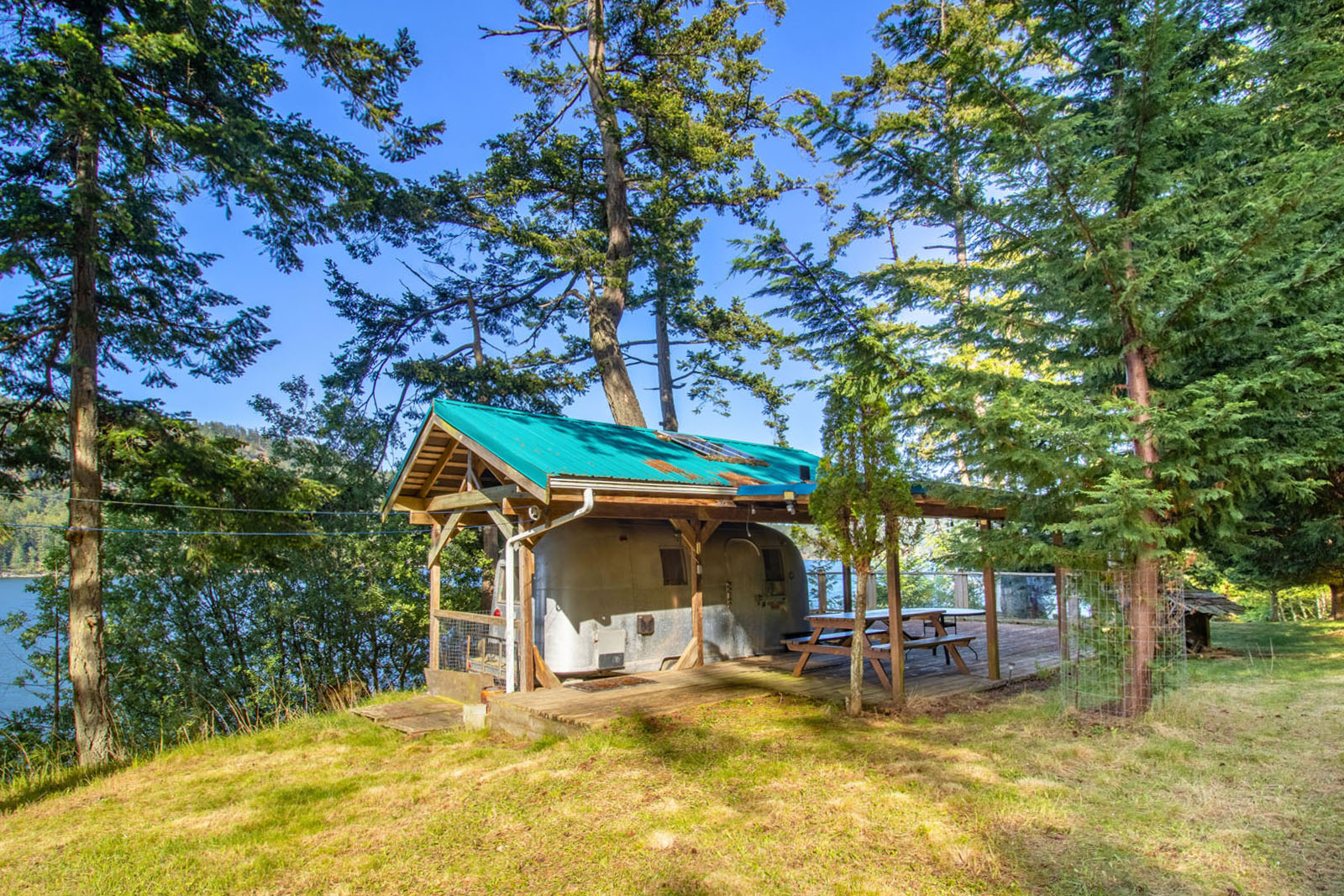

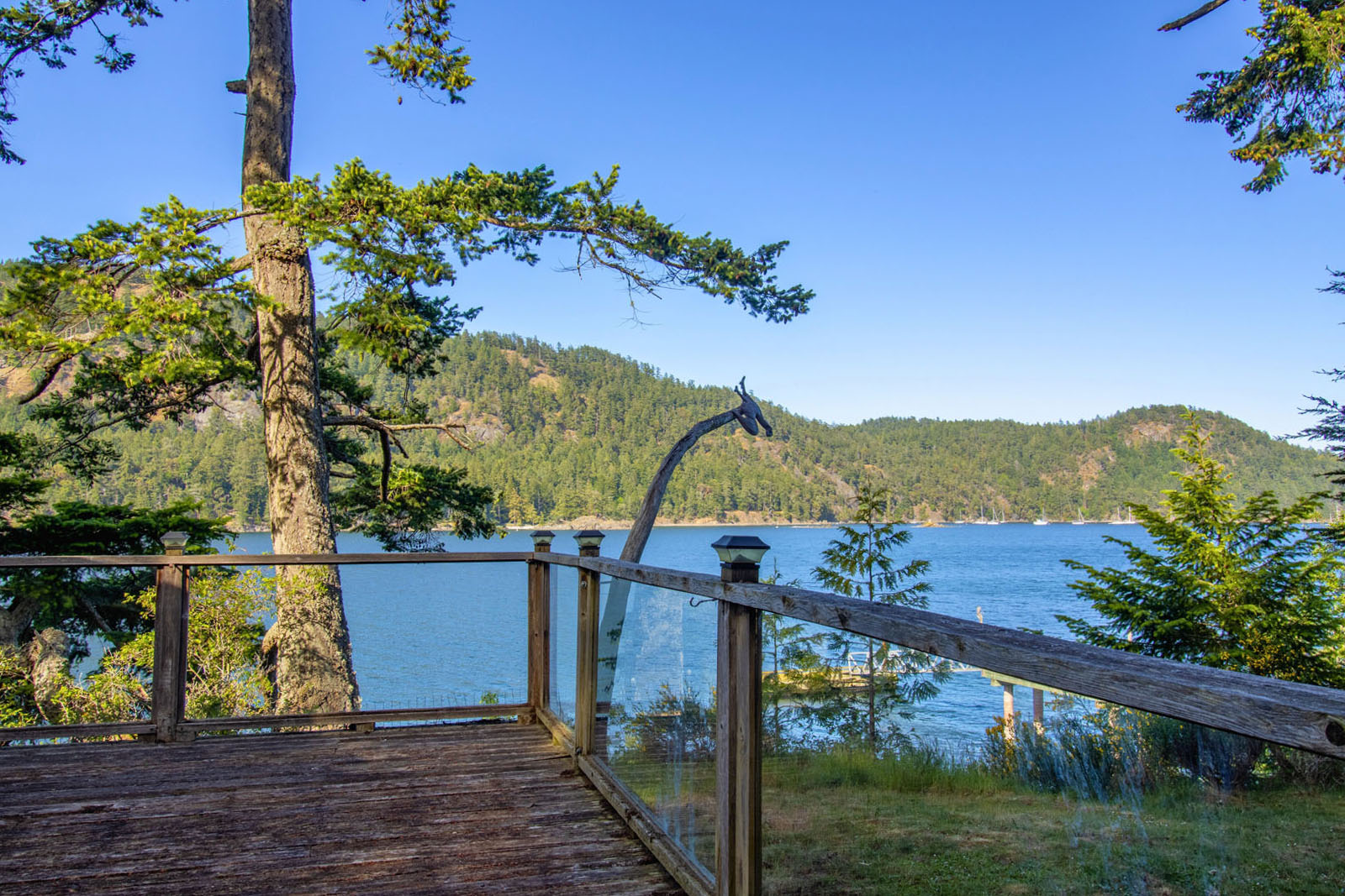
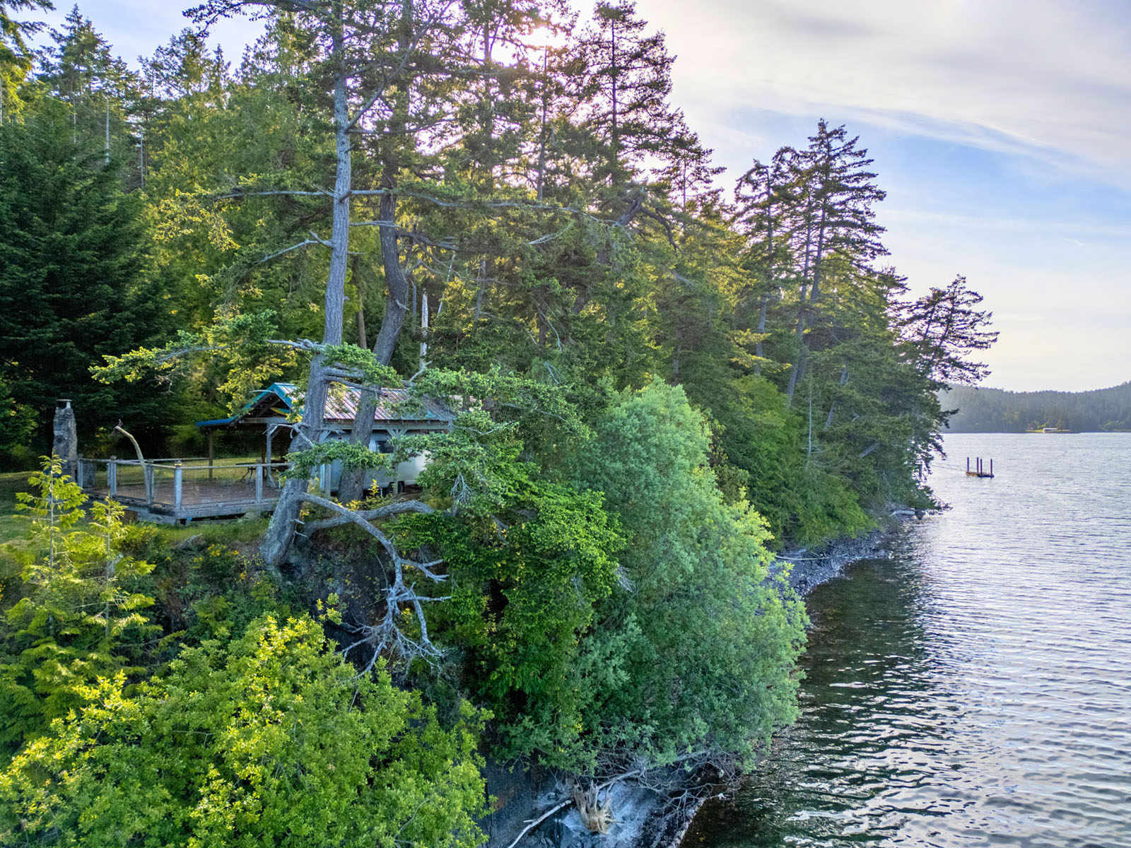


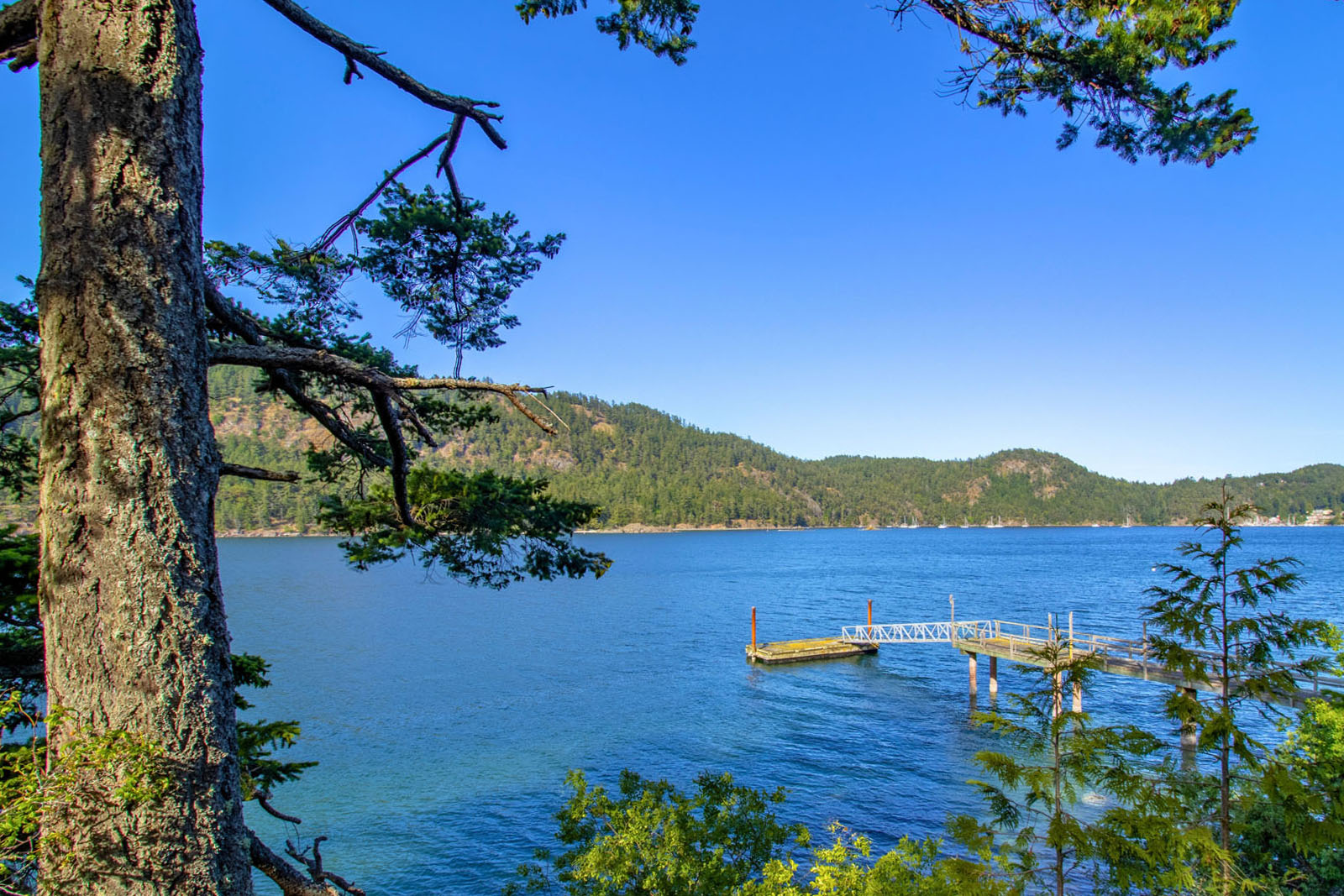
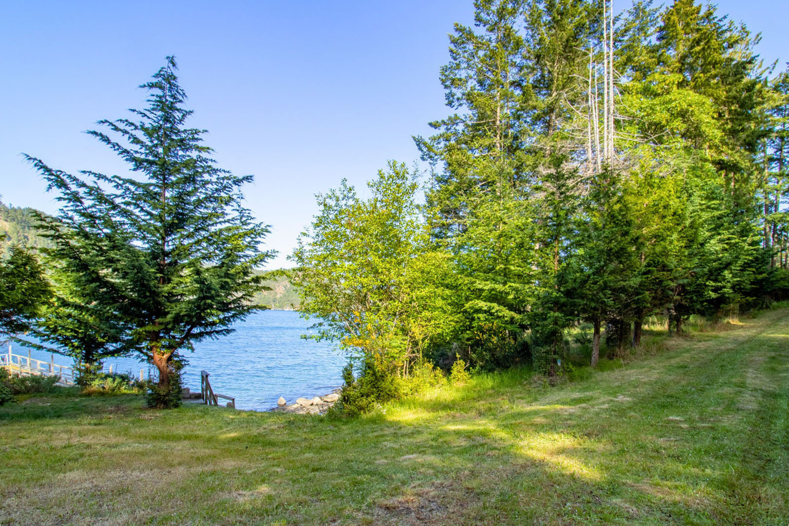
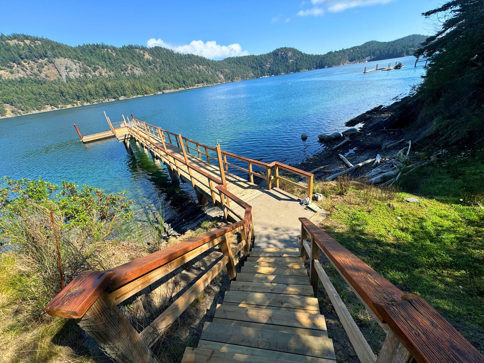
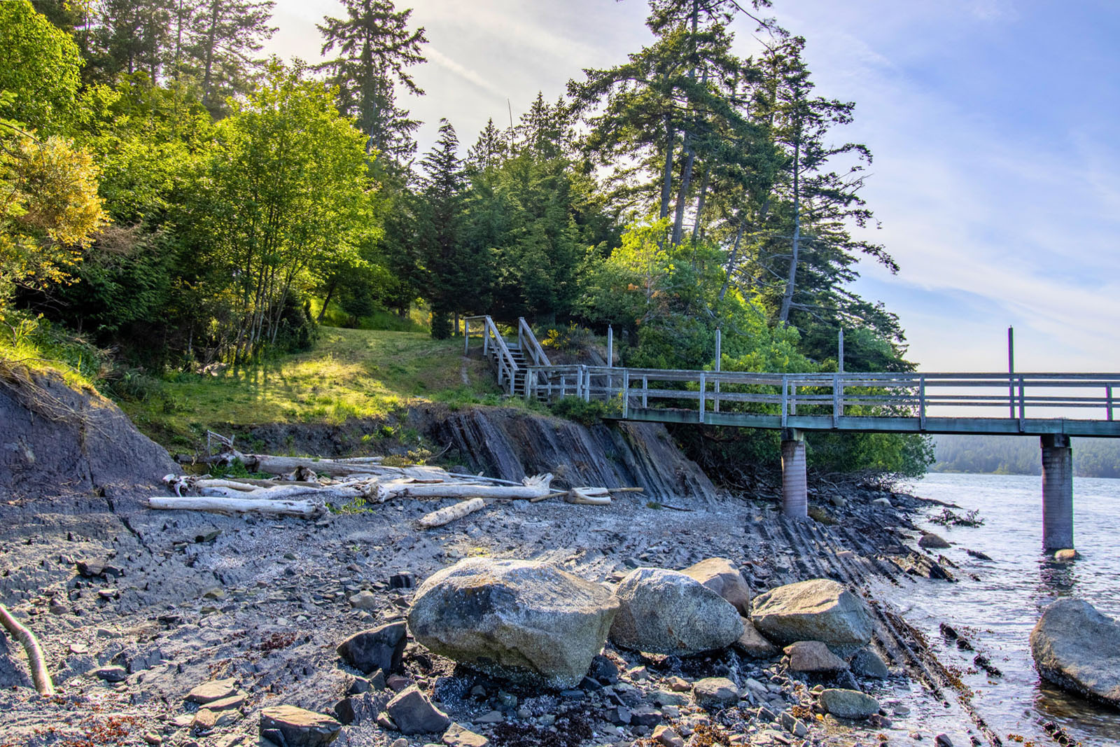
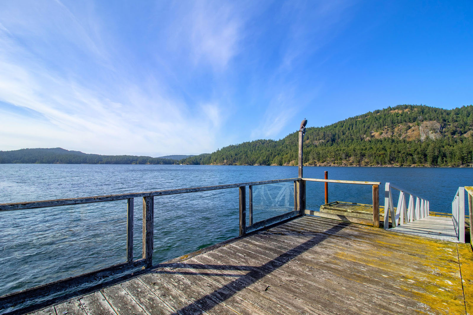

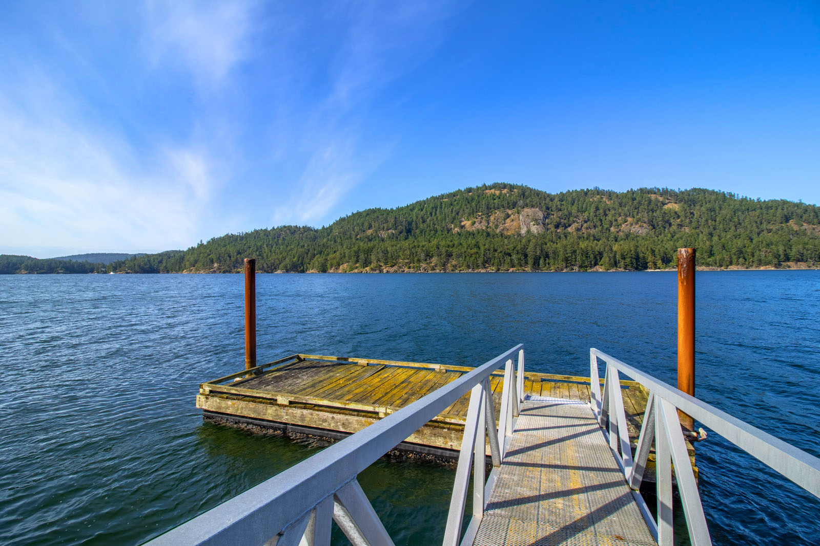
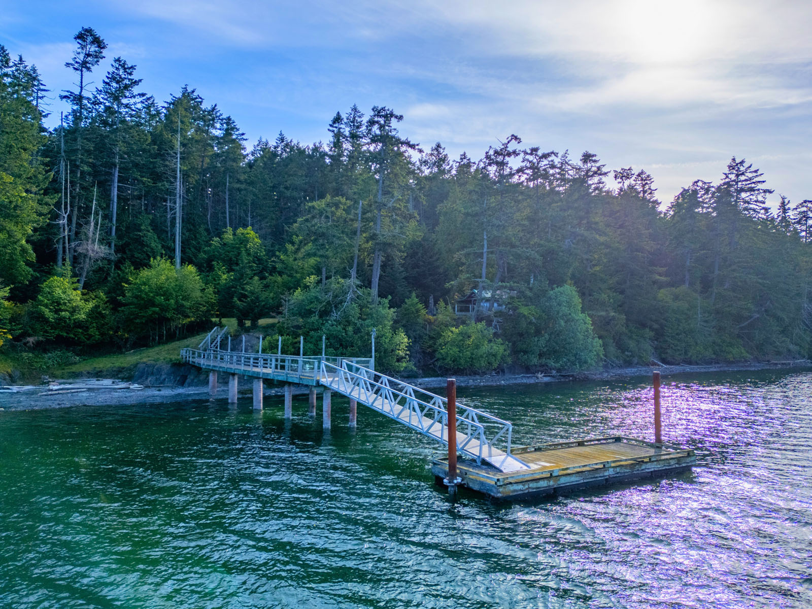


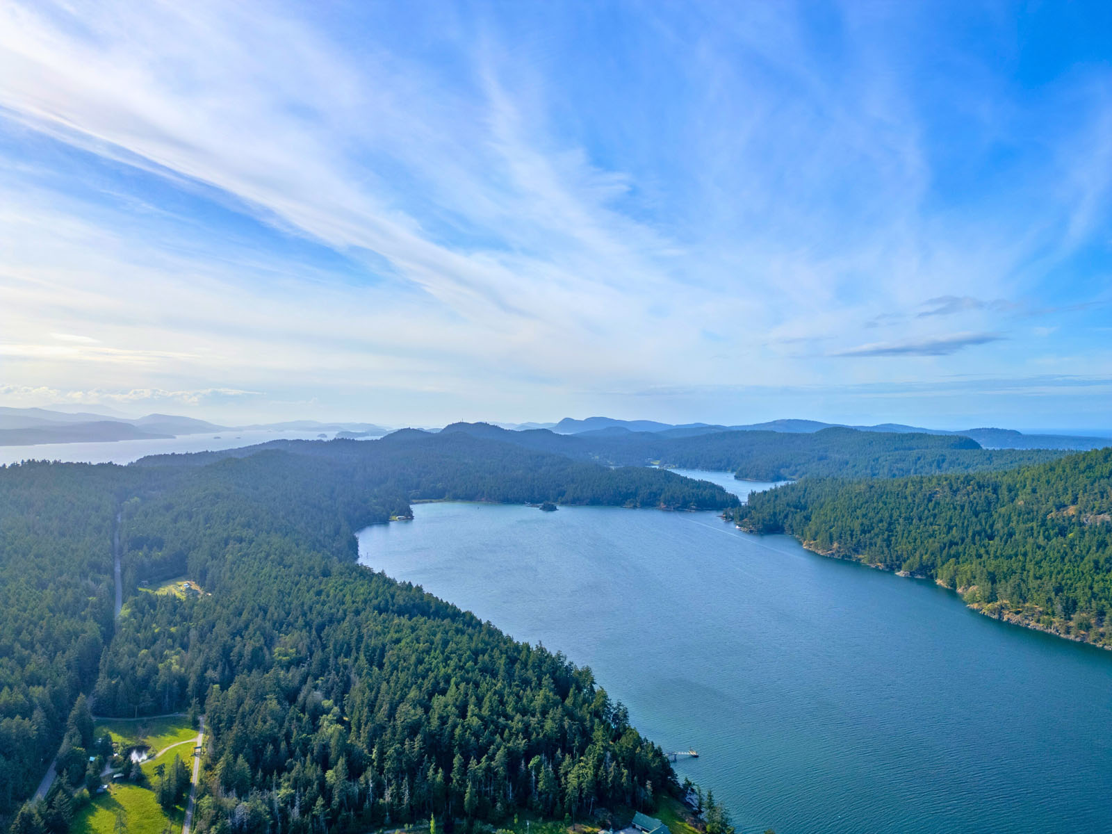
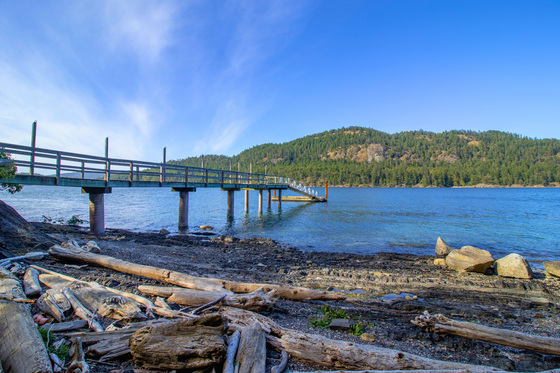
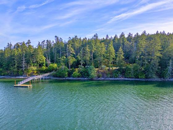
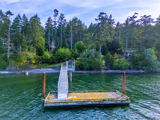
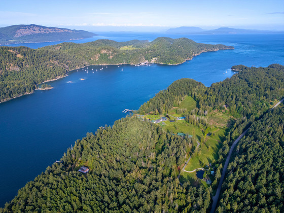
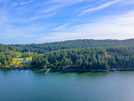
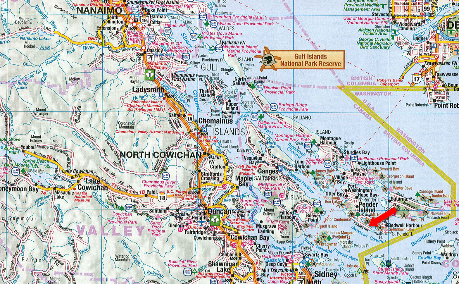
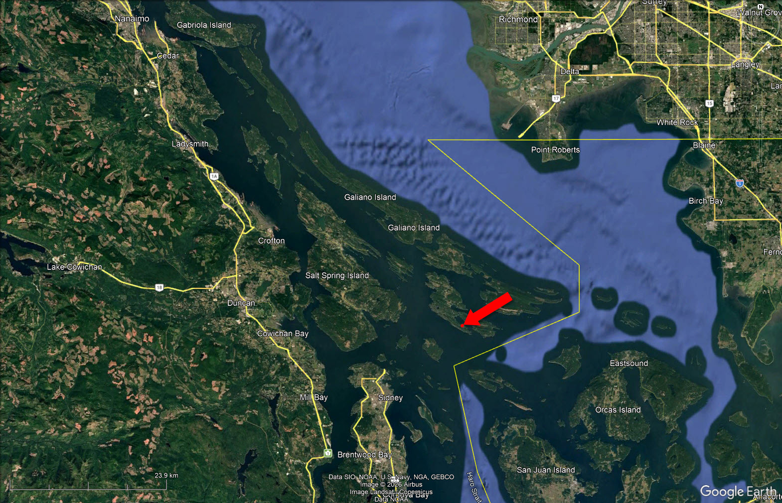
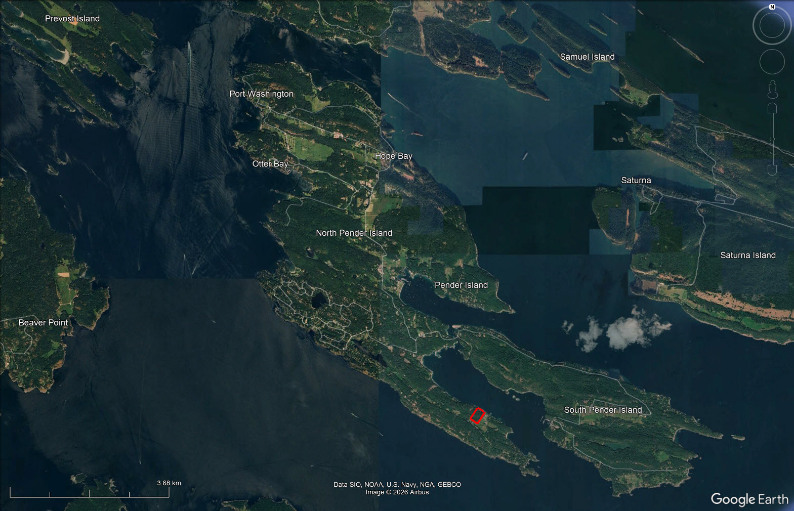
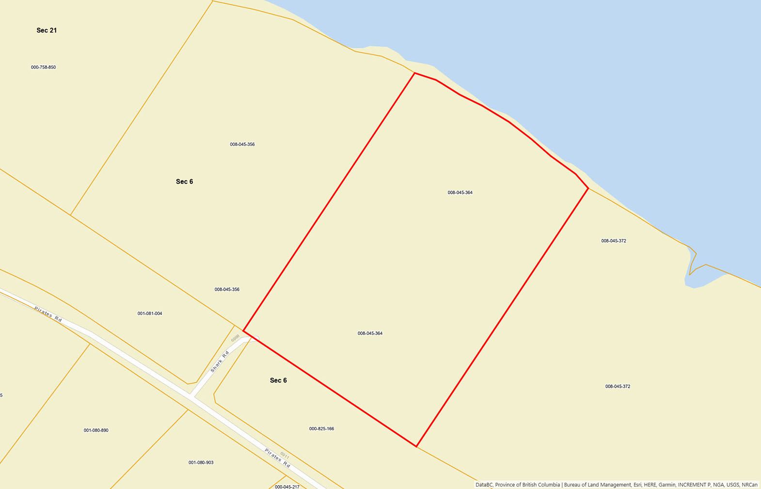
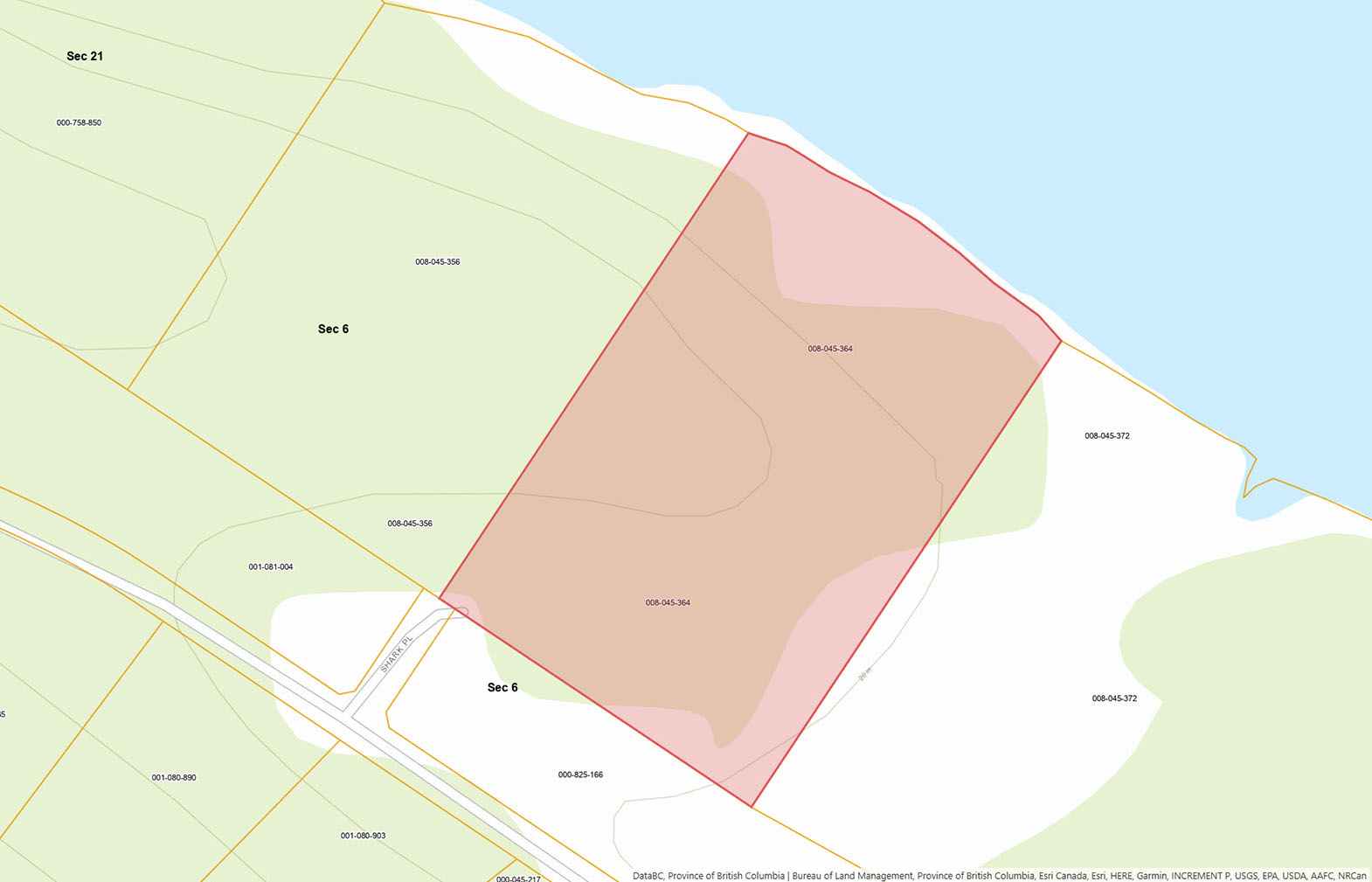
Located on North Pender Island in the protected waters of Bedwell Harbour, this 14.9-acre oceanfront property offers over 650 feet of walkable beachfront and a rare combination of privacy, usable land, and direct boating access. The shoreline features low-bank waterfront, making it easy to access the beach for kayaking, paddleboarding, swimming, or heading out by boat to explore the surrounding Gulf Islands. A licensed foreshore lease with a 32 ft dock provides convenient moorage directly from the property.
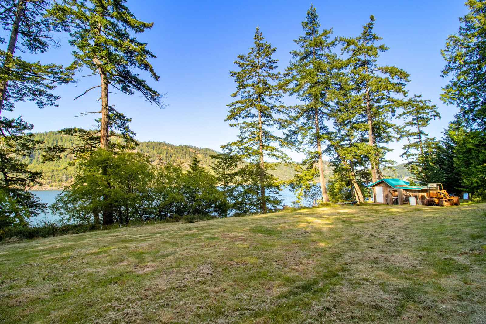
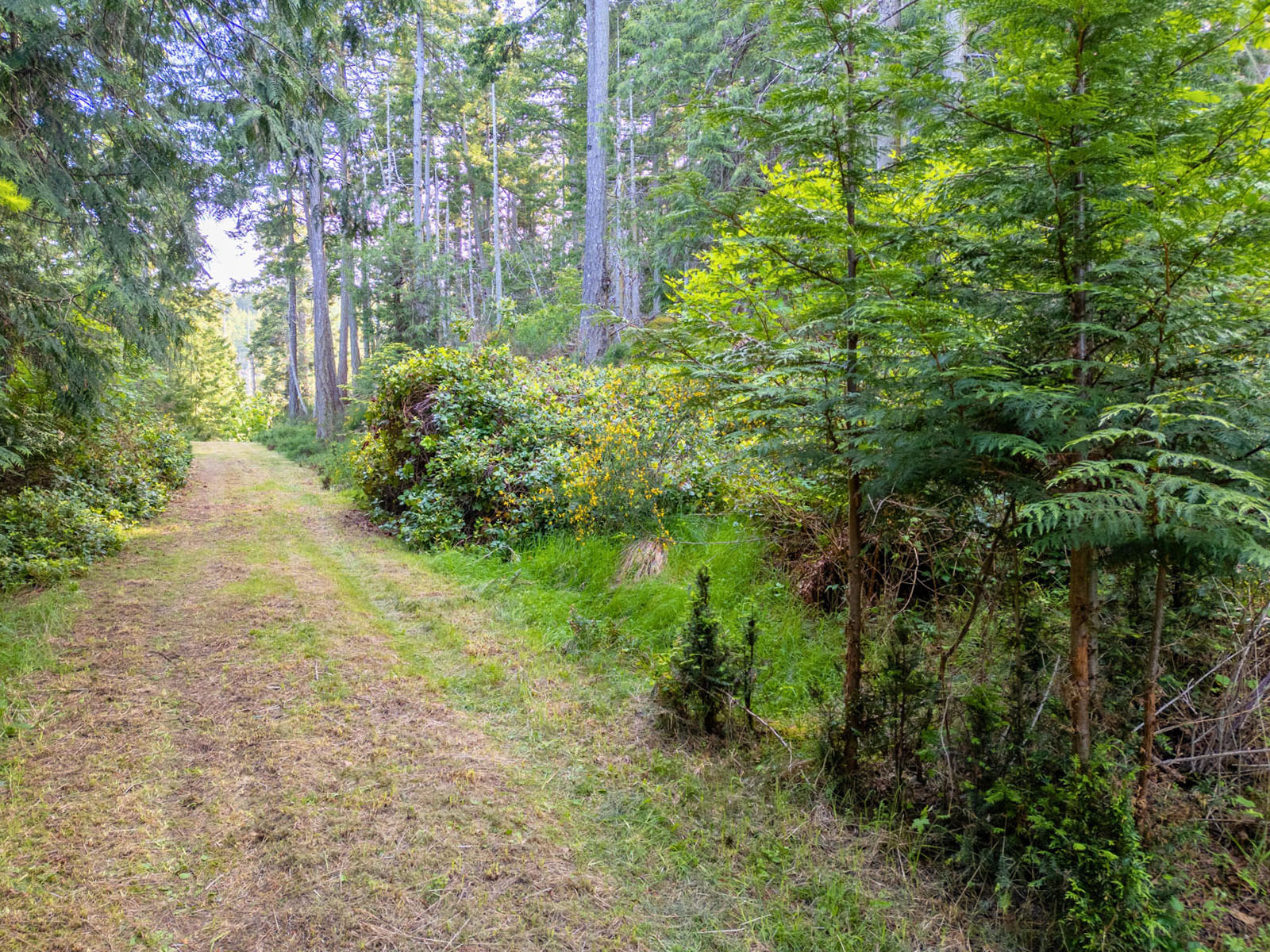
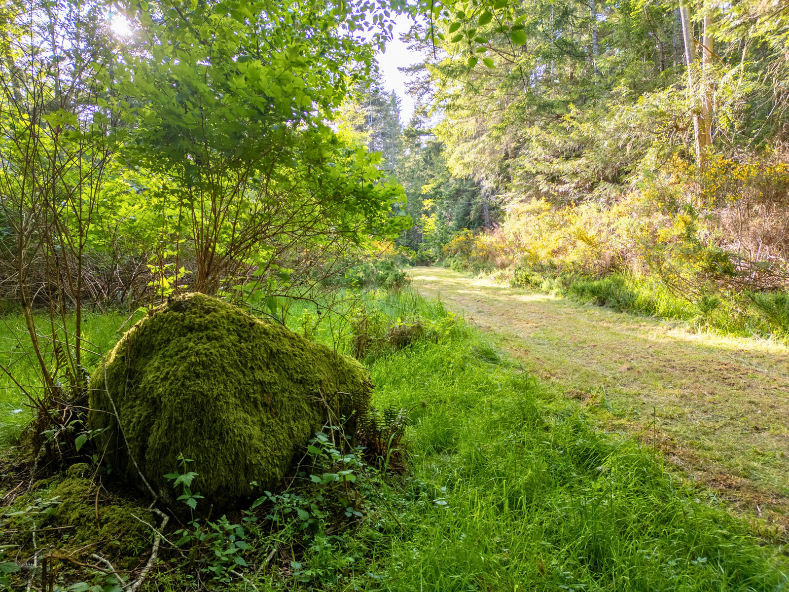
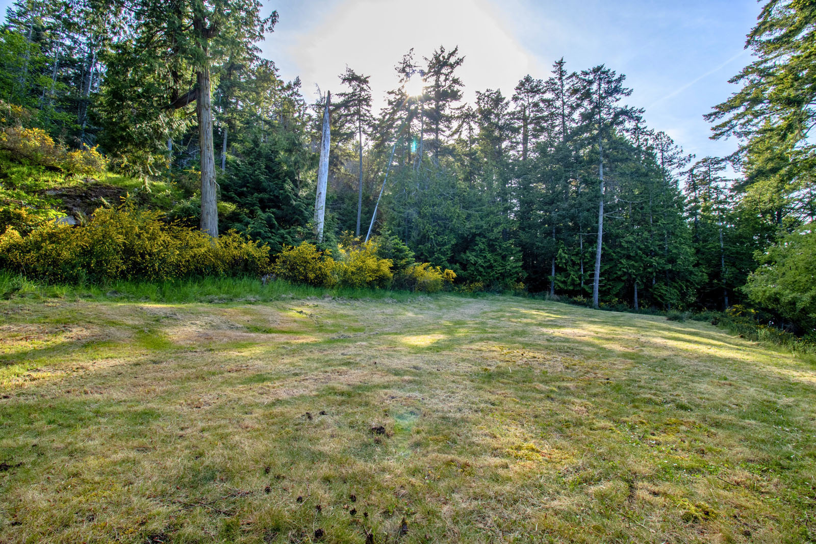
The land gently slopes toward the ocean and is nicely forested with a mix of mature trees and natural vegetation, creating a private and peaceful setting. Several level building sites have already been established throughout the property, offering flexibility for future development. A driveway runs from the entrance down toward the waterfront, allowing easy access across the property and to potential building locations.
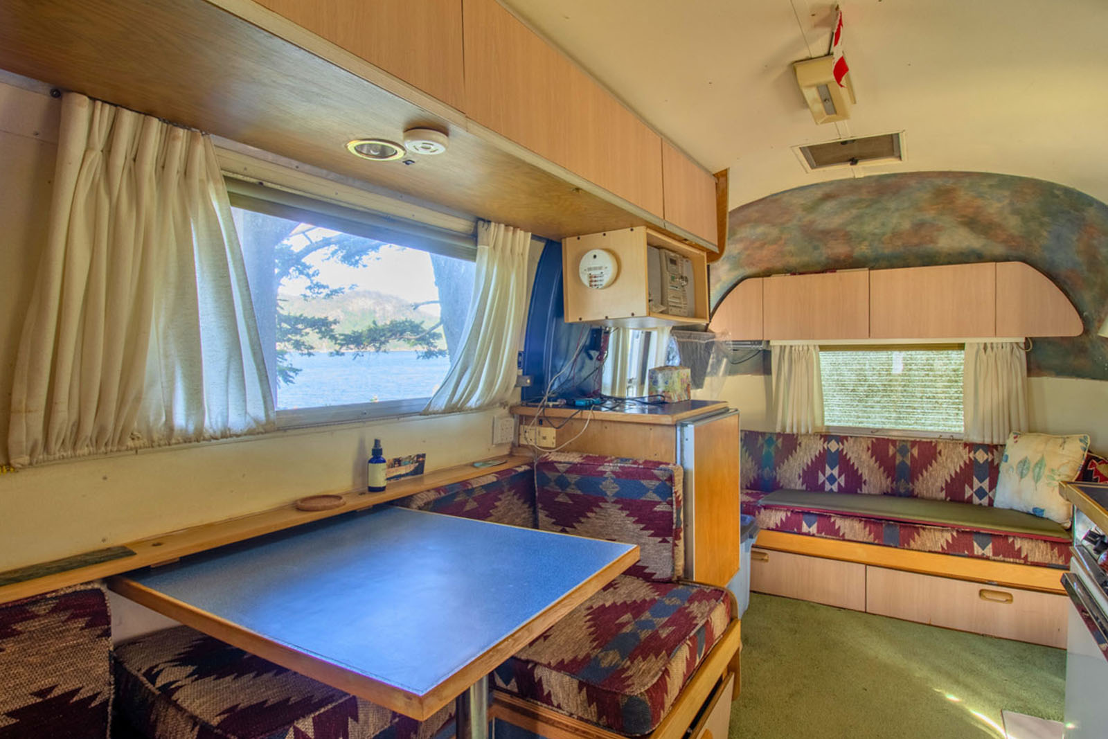
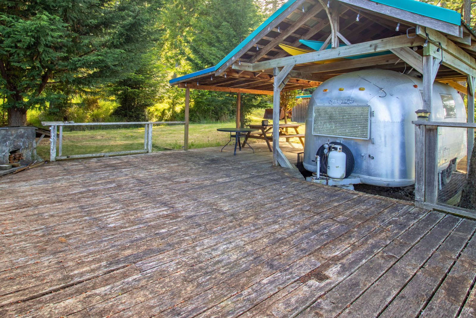
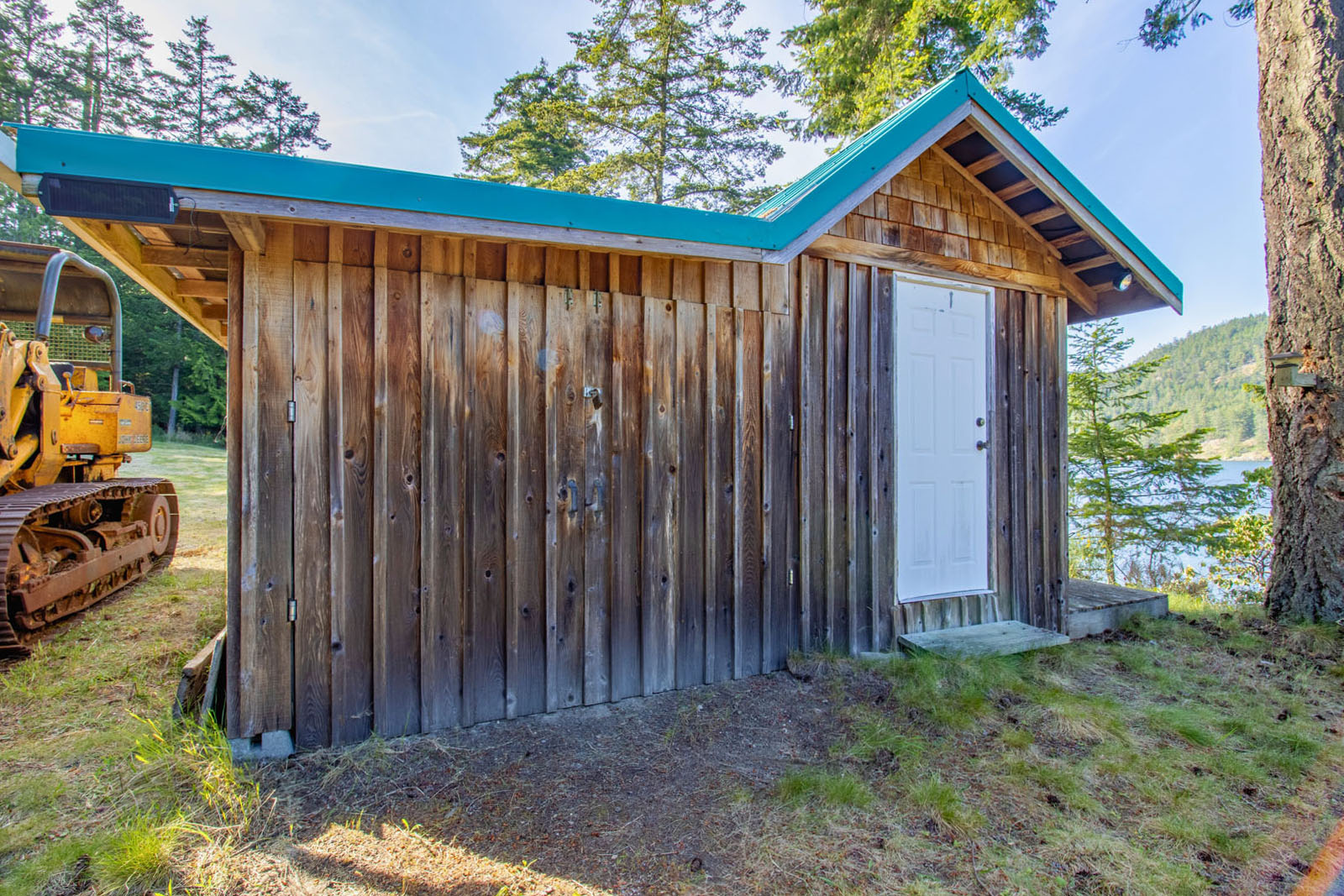
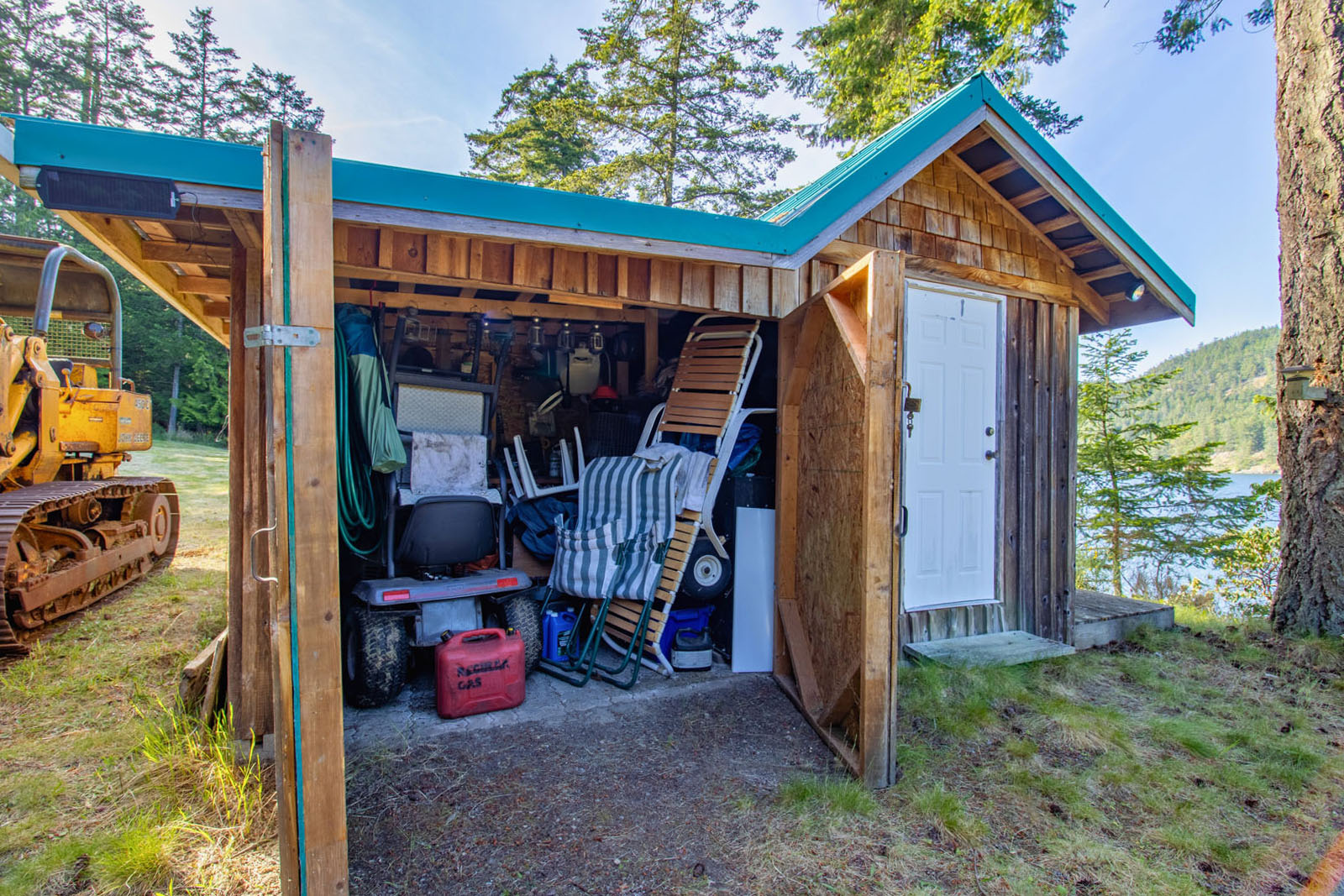
Rural zoning allows for a primary residence, seasonal guest cottage, and accessory buildings, making this an excellent opportunity to create a private island retreat or full-time coastal residence. Improvements include a shallow well, and while a septic system has not yet been installed, the property is well positioned for future development. A 1966 Airstream, John Deere front loader, and additional equipment are included in the sale.
Situated in a quiet and scenic area of North Pender Island, the property enjoys beautiful views across Bedwell Harbour toward Mount Norman and Poets Cove. Bedwell Harbour is well known for its sheltered waters and excellent boating access throughout the Southern Gulf Islands, including nearby destinations such as Saturna, Mayne, and Salt Spring Island.
A rare opportunity to acquire a large oceanfront holding in one of the most desirable areas of the Gulf Islands. Call to book your appointment to view today!
6903 Shark Road - Pender Island, BC
Contact the listing agent.
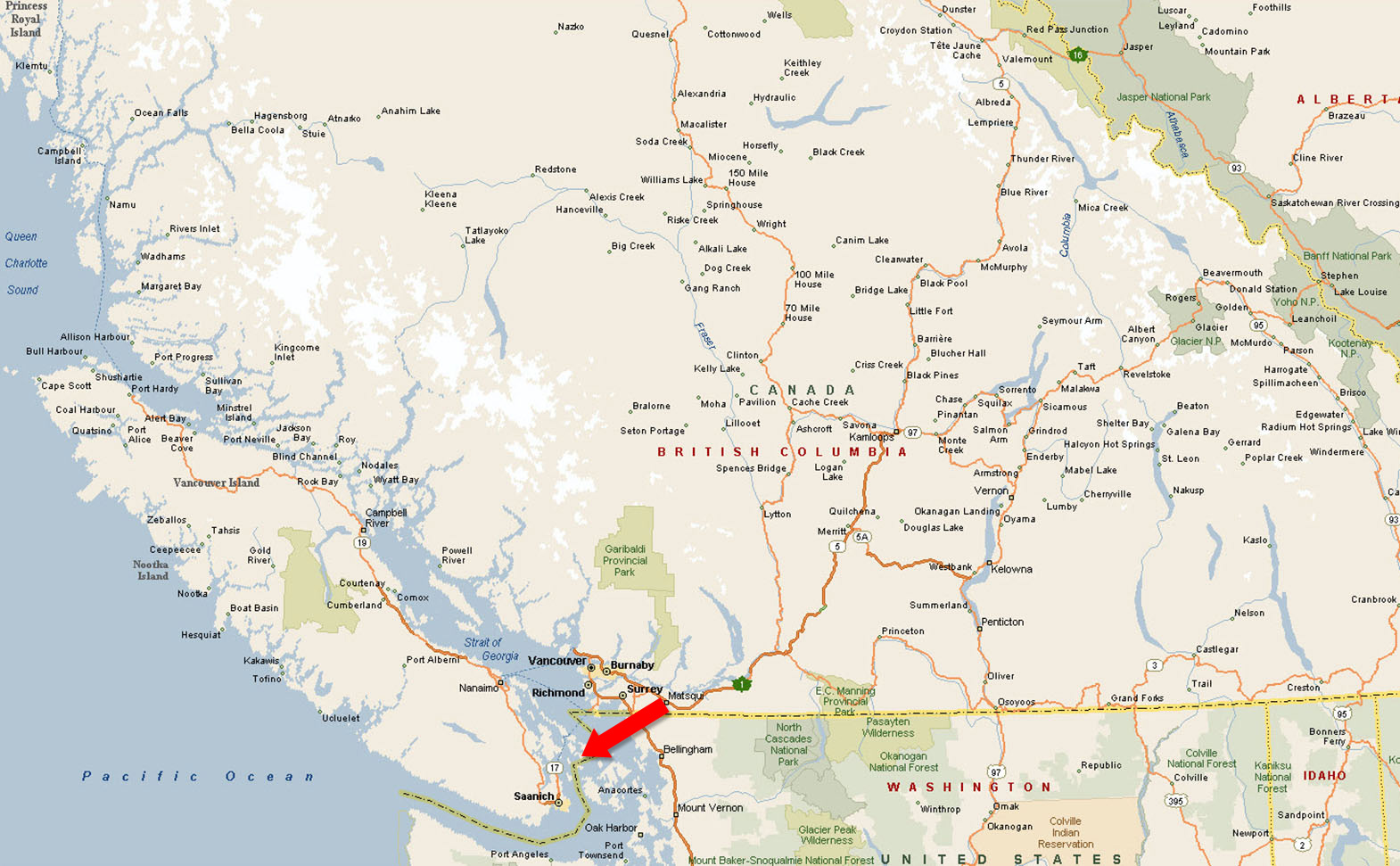
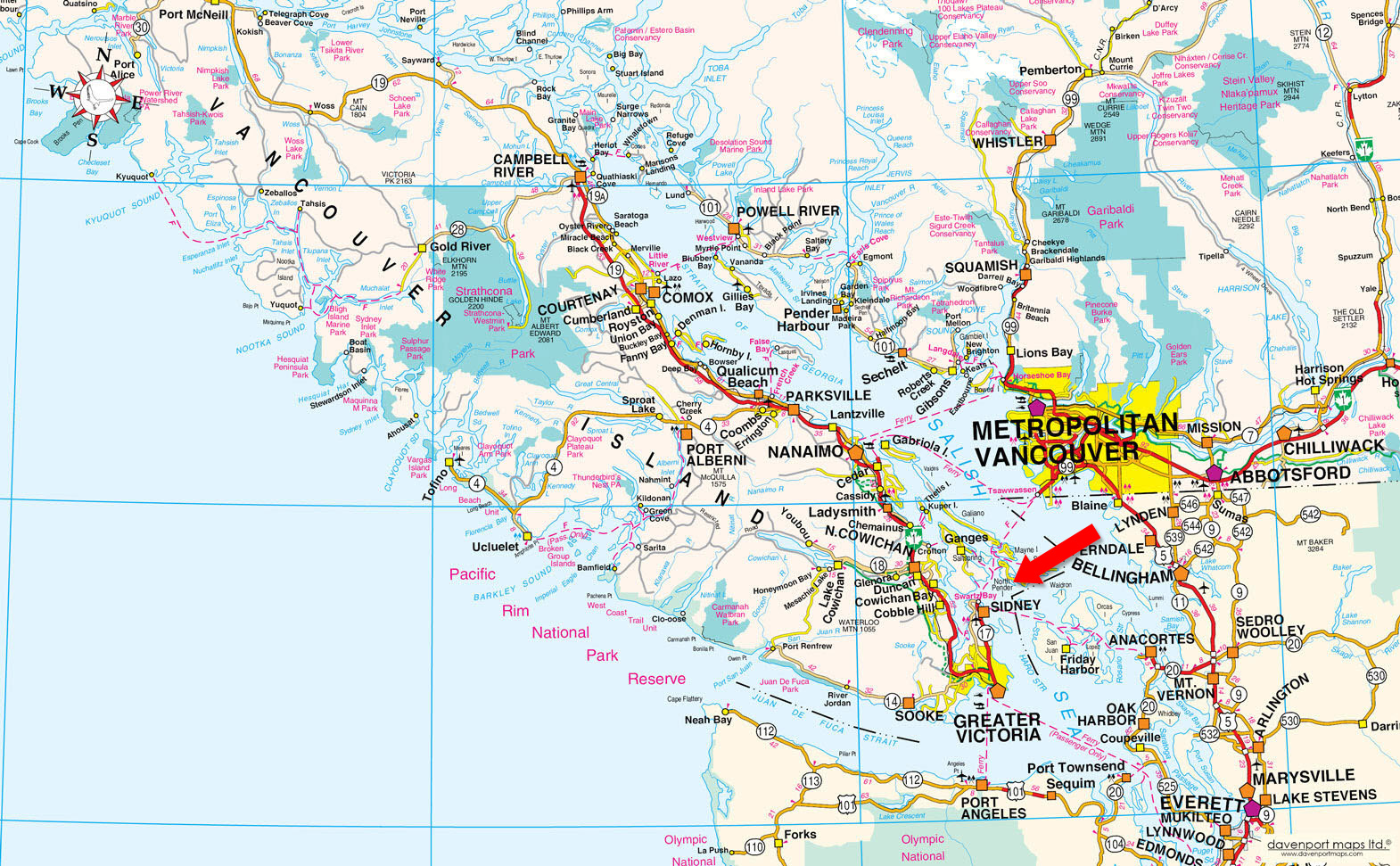
Pender Island is located in the Southern Gulf Islands, between Vancouver Island and the main-land of British Columbia, and consists of two islands, North Pender and South Pender, which are separated by a canal and accessed by way of a one-lane bridge. Pender Island is a 2-hour ferry ride away from Vancouver and a 40-minute ferry ride from Sidney, BC.
Pender Island enjoys a sub-Mediterranean climate and features open farmland, rolling forested hills, several lakes and small mountains, as well as many coves and beaches. In fact, Pender Island offers the most public beach access points of any of the Gulf Islands.
Pender is a choice weekend and year-round holiday destination. Summer is generally a busy time, while the island pace slows down considerably during the winter months. Spring and fall are pleasant times of the year, with fewer tourists and mild weather.
Pender Island is a popular destination for cycling, fishing, hiking, boating, sailing, scuba diving and other outdoor pursuits. The island also boasts a 9-hole golf course as well as a 27-hole disc golf course (Frisbee golf). Pender Island also has numerous art galleries, shops and restaurants, and hosts a variety of local events throughout the year including the Pender Island Fall Fair and the Lantern Festival. On Saturday mornings during the summer, the Pender Island Farmer’s Market at the Community Hall offers local produce and handcrafts, as well as entertainment.
North Pender and South Pender Islands were originally one island connected by an isthmus. This is a site that was used by the Coast Salish First Nations for thousands of years and has a rich history. A canal was dredged in the early 1900s to allow the ferry and boats quicker, safer passage between the islands.
The islands, along with Pender Harbour on the Sunshine Coast, were given their current names by Captain Richards R.N. of H.M.S. Plumper in 1859 after his senior survey officer, Second Master Daniel Pender. The first permanent residents of European descent arrived on Pender Island in 1872.
Please see mapping section, all boundaries are approximate.
48°44'55.64"N and 123°15'1.93"W
Private Moorage Permission
$5,635.13 (2025) - Property
$98.61 (2025) - Moorage
Total Taxes: $5,733.74 (2025)
Rural
North Pender Island Official Community Plan Bylaw No. 171, 2007
Additional zoning information can be found on the Islands Trust website.
Lot 8, Section 6, Pender Island, Cowichan District, Plan 1084
PID 008-045-364
Private Moorage Permission, File #1409159, Document #113880
 +8 maps
Our property descriptions and geographical information are taken from the BC Assessment Authority, Land Titles Office, government maps and other sources. While LandQuest® does not guarantee the information, we believe it to be accurate, but should not be relied upon without verification. This communication is not intended to cause or induce breach of an existing agency agreement.
North Saanich
 17℃
17℃
 14℃
14℃